The Americas, as they were first drawn.
1,505 original maps, charts, views and prints of the United States, Canada, Mexico and the Caribbean, with a smaller collection of Latin America. Every one an original of its period. None is a reproduction.
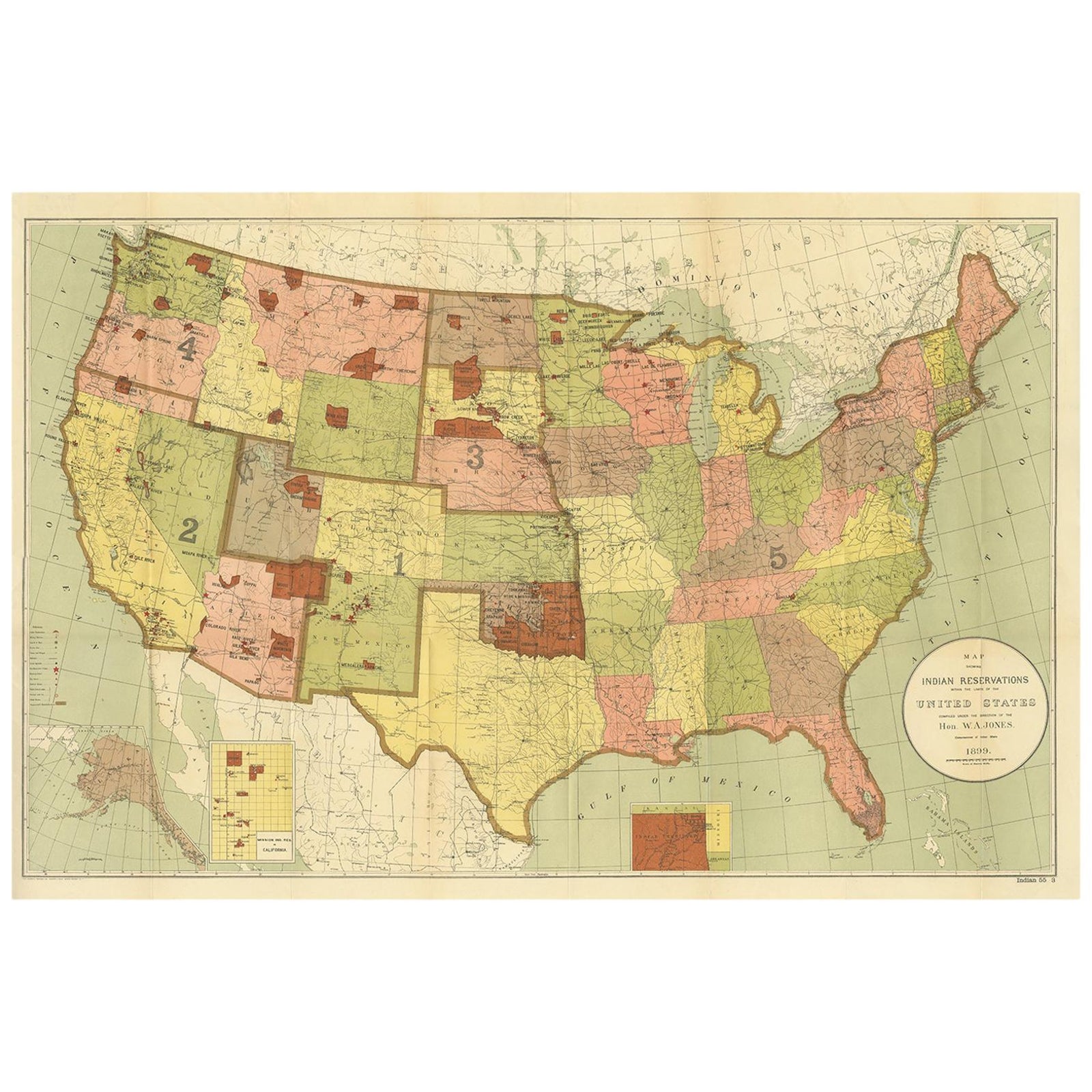
Browse by State
592 sheets of the United States, arranged as an atlas index
Territories
Beyond the Union
Canada, Mexico, the West Indies and the rest of the hemisphere
By Period
From colonial charts to the twentieth century
By Kind
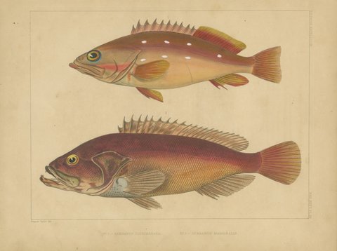
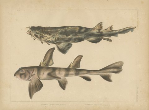
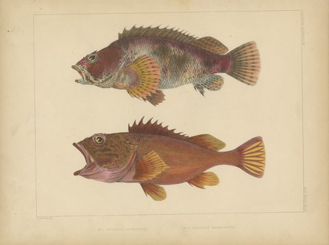
Maps, charts, views, birds and portraits
Recently Added
New to the collection
Questions Collectors Ask
Before you buy
Are these originals?
Yes. Every map and print here was published in the year or period stated, usually as a page of an atlas, book or periodical. We do not sell reproductions on this site, and we refund in full if a piece is ever shown not to be original.
How do you ship to the United States?
From our gallery in Langweer, the Netherlands, flat between rigid boards or rolled in a tube, tracked and fully insured. Delivery usually takes one to two weeks.
Will I pay import duty?
Original maps and prints generally enter the United States free of duty. Your carrier may charge a small clearance fee; we confirm the position for your parcel before you pay. Shipping and import charges.
Can I see more photographs or ask about condition?
Of course. Every piece has a reference number; email info@americanmapsandprints.com and we will send close-ups, measurements or framing advice.
Who we are. American Maps & Prints is a collection of Bartele Gallery, an antiquarian print and map dealer founded by Bartele and Roos Santema, with galleries in Langweer in the Netherlands and in Jakarta. Every piece is an original, cataloged and photographed by us, and shipped fully insured from our gallery in Langweer. More about us.