1821 · Maps
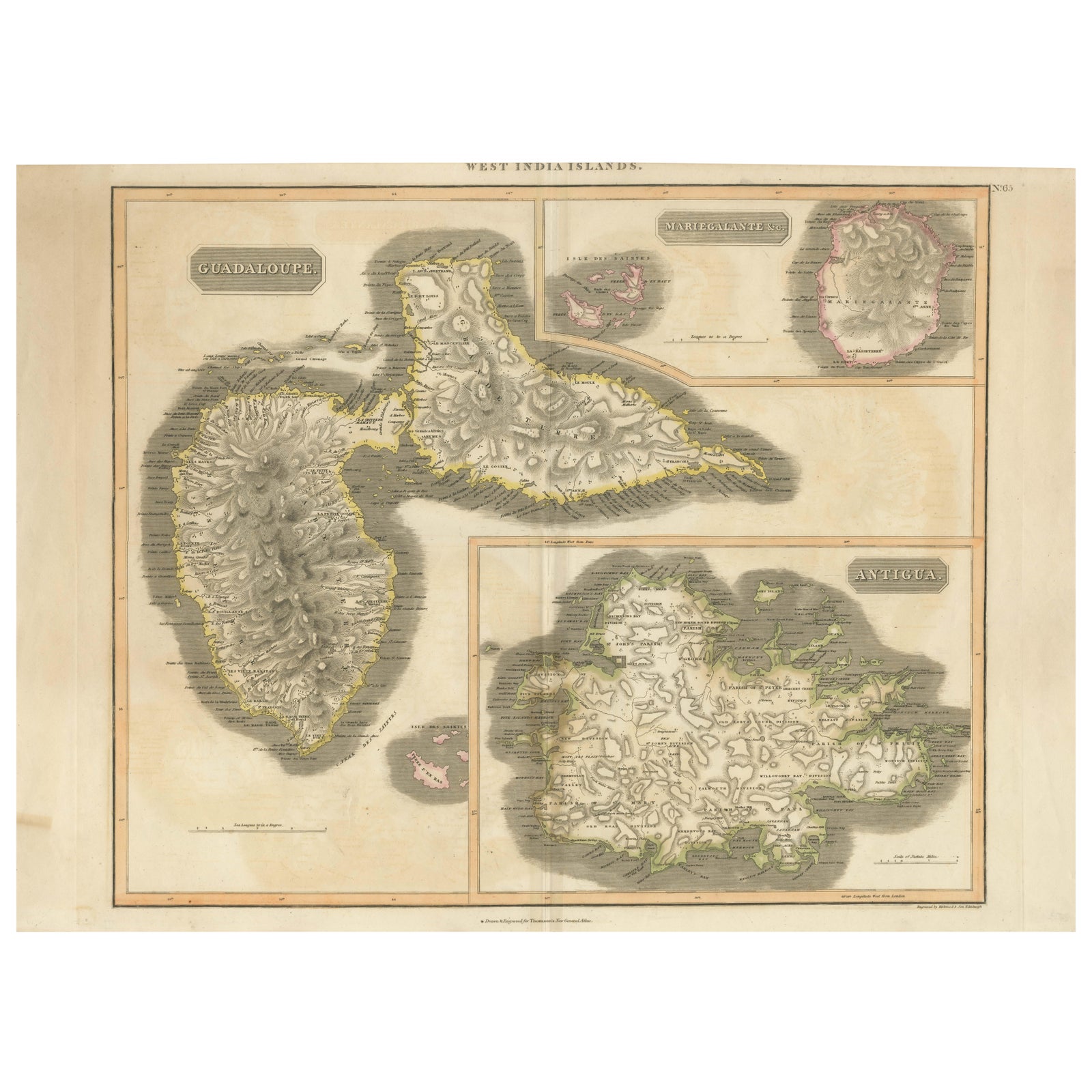
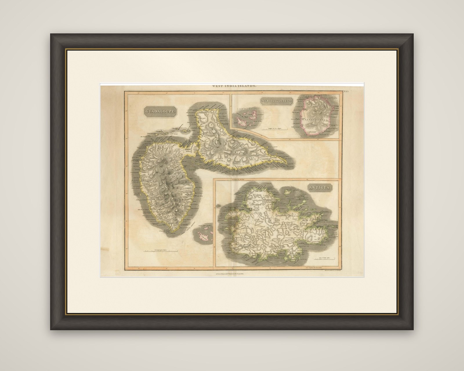
1821 Thomson Map of Guadeloupe, Marie-Galante and Antigua in the West Indies
$650
€580 · dollar price at today's exchange rate
Buy now Ask a question
Shipping to the United States: $51 standard, $73 express, insured and tracked.
- Date
- 1821
- Maker
- John Thomson
- Kind
- Maps
- Size
- 54 × 73.5 cm (21.3 × 28.9 in)
- Period
- The Early Republic
- Places
- The Lesser Antilles, The West Indies
- Reference
- BG-13618-3
What the condition grades mean
- Excellent
- Bright and clean, with no faults worth mentioning.
- Very good
- Only light signs of age, such as faint toning.
- Good
- Normal signs of age for a sheet of this period: toning, some foxing, small marks or neat old repairs.
- Fair
- Clear faults such as staining, tears or repairs, priced to match.
Every fault we see is written in the condition note, and the whole sheet is shown uncropped in the photos.
Guaranteed original. This is an original of the period stated, not a later reproduction or print-on-demand copy. If it is ever shown to be otherwise, we refund you in full.
Shipping to the United States. Sent from our gallery in Langweer, the Netherlands, flat between boards or rolled in a tube, and fully insured.
Delivery and import charges.
About this piece
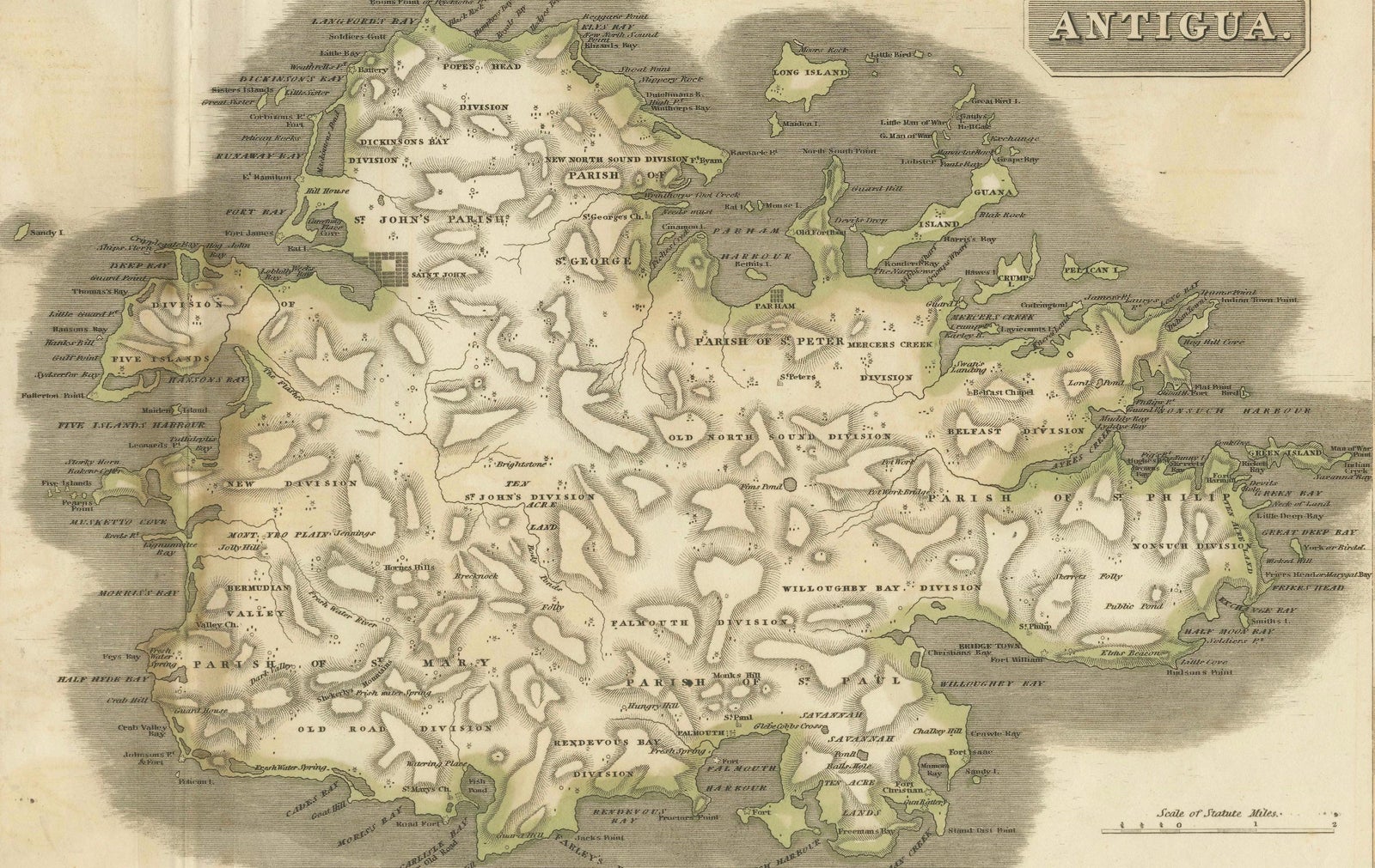
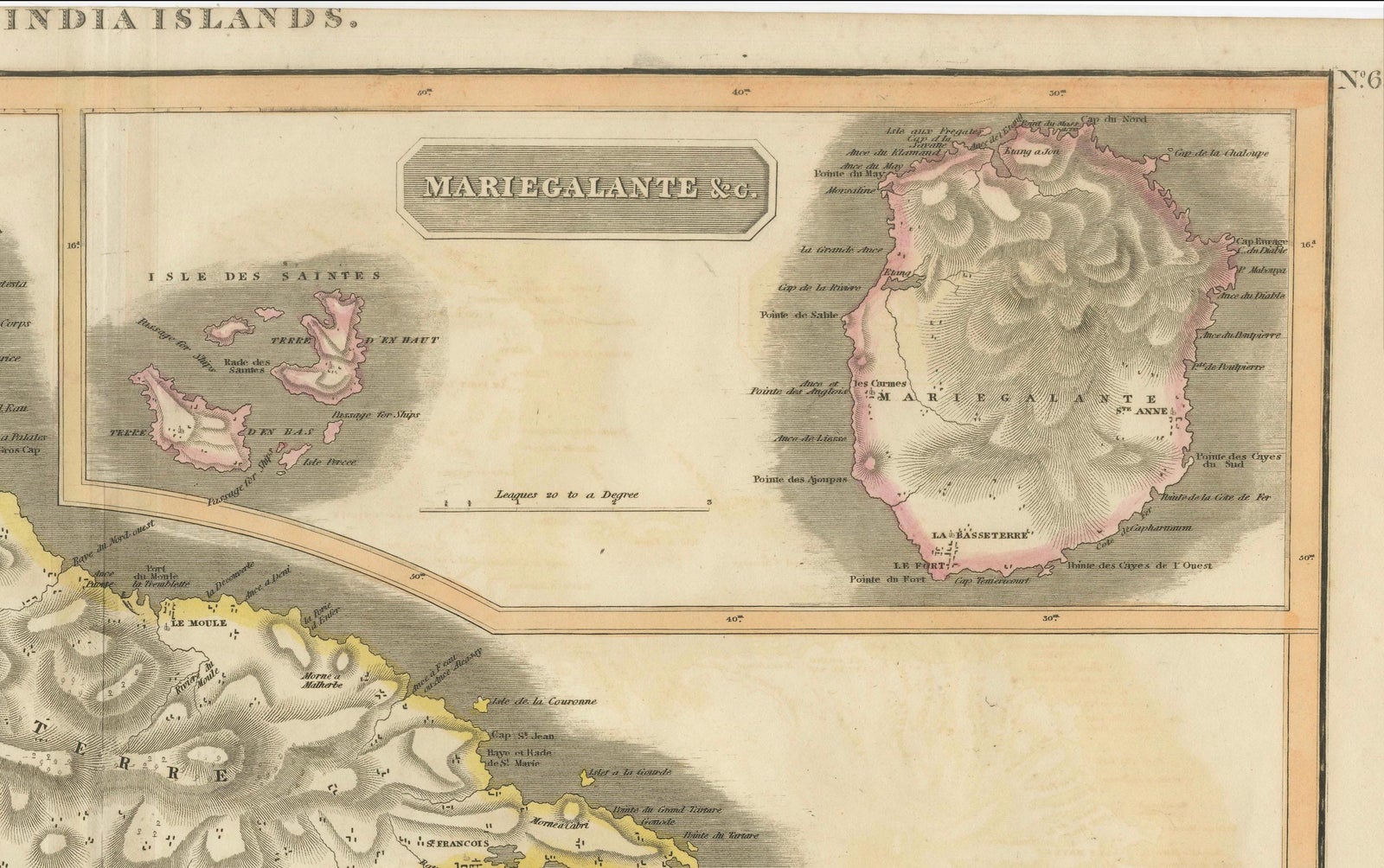
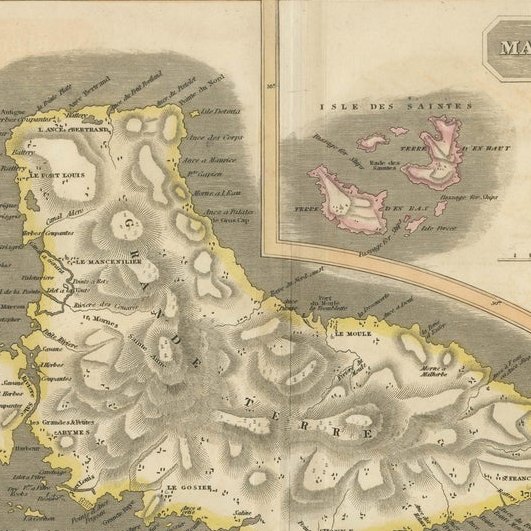
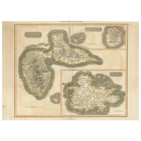
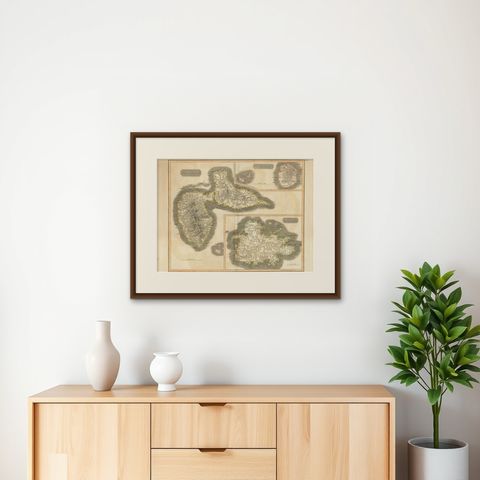
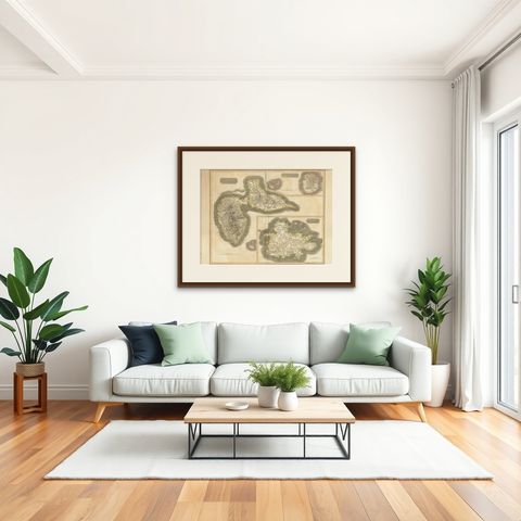
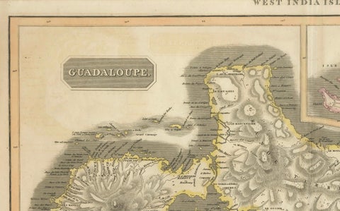
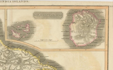
Guadeloupe, Marie-Galante and Antigua on a single sheet headed "West India Islands", from John Thomson's New General Atlas, Edinburgh, 1821. It is an original copper engraving with hand-colored outlines, with the publisher's imprint at the foot and an atlas plate number in the upper right corner.
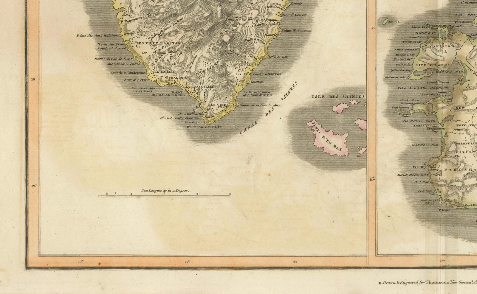
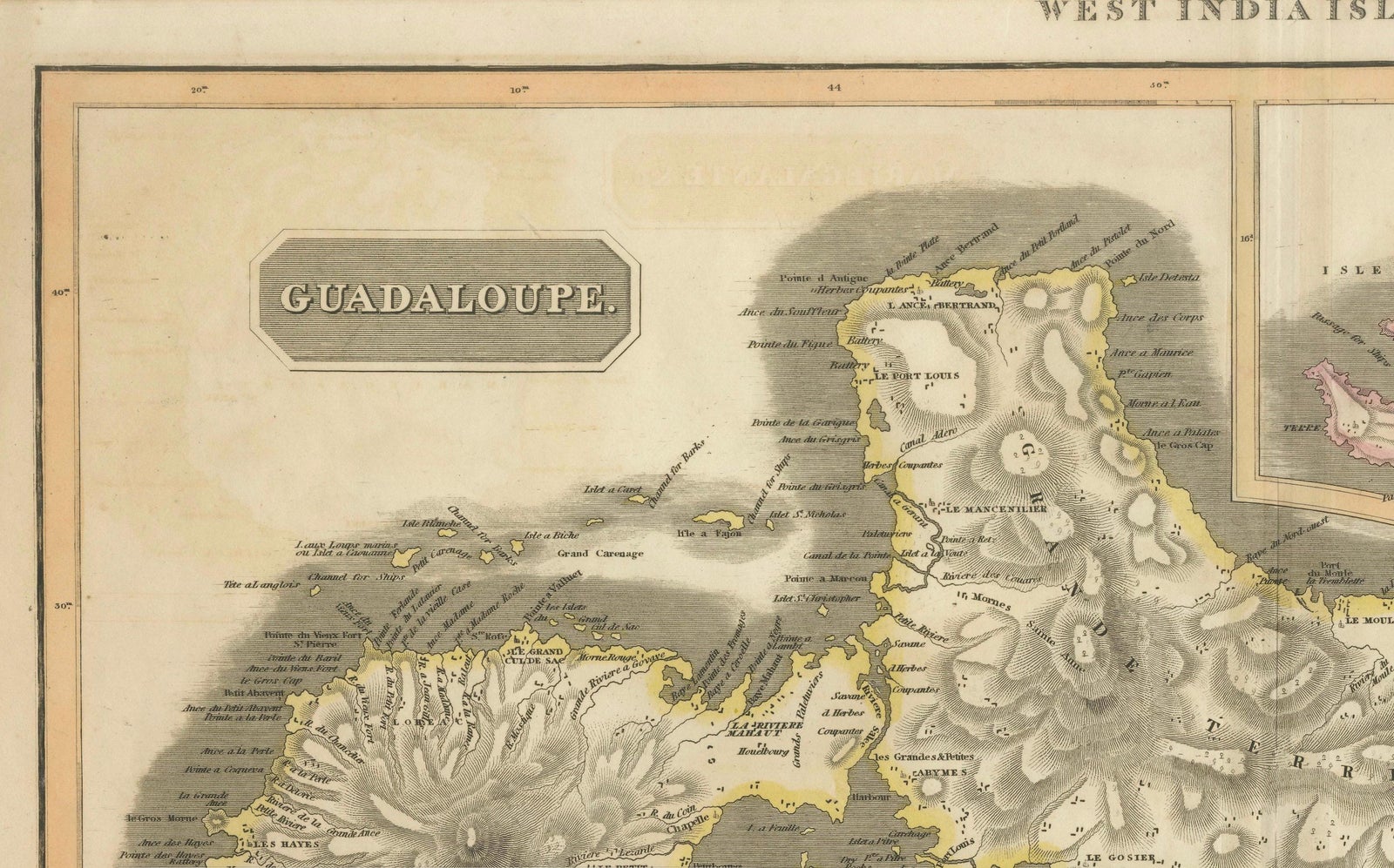
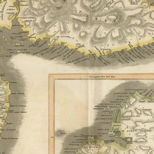
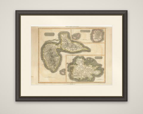
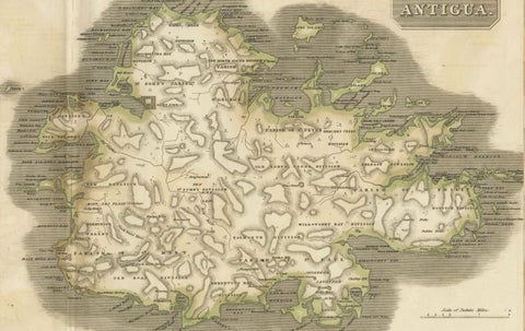
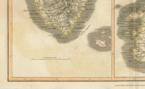
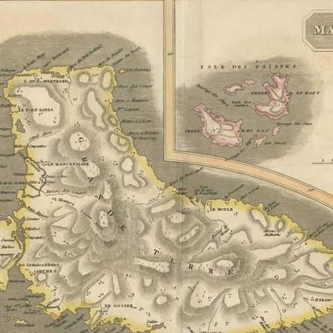
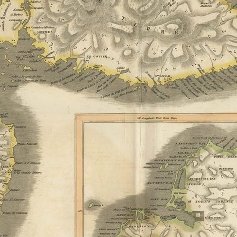
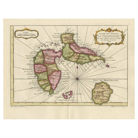
Guadeloupe fills the left and upper part of the sheet under a plain rectangular title cartouche lettered "Guadaloupe". The butterfly shape of the island, with Basse-Terre on the left and Grande-Terre on the right, is drawn with the mountains of Basse-Terre shown by dense hachures and with the coast edged in yellow. Dozens of settlements and anchorages are named around the shore, and gray shading runs offshore, with a scale in leagues below. A small inset at the upper right gives "Mariegalante, &c." with the nearby islets, and the lower left shows the Saintes in pink. A larger inset at the lower right shows Antigua, outlined in green, with its bays and parishes and the hills of the southwest.
Setting a British island beside two French possessions on the same sheet reflects how Thomson organized his West Indies maps by neighboring islands rather than by owner, in the generation when sugar made these colonies valuable.