Original antique maps & prints of
The United States
★ 585 original pieces ★
Original maps, views and prints of the United States, from the colonial charts of the seventeenth century to the railroad atlases of the Gilded Age. Browse by state, by region or by period.
By State
Every state we hold, grouped by region
Territories
New England
Maine, New Hampshire, Vermont, Massachusetts, Rhode Island and Connecticut
36 pieces
Mid-Atlantic
New York, New Jersey, Pennsylvania, Delaware, Maryland and Washington, D.C.
91 pieces
The South
Virginia and the Carolinas to Florida, Louisiana and Tennessee
84 pieces
The Midwest
Ohio and the Great Lakes to Missouri and Minnesota
78 pieces
The Great Plains
Kansas, Nebraska, the Dakotas and Oklahoma
32 pieces
The Southwest
Texas, New Mexico and Arizona
30 pieces
The Mountain West
Colorado, Utah, Nevada, Idaho, Montana and Wyoming
37 pieces
The Pacific Coast
California, Oregon, Washington, Alaska and Hawaii
107 pieces
Puerto Rico
The United States territory in the Caribbean
4 pieces
★
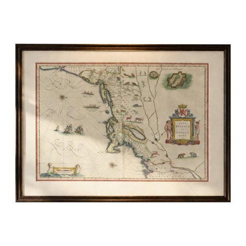
Antique New England Map Blaeu c.1642 – Nova Belgica & Anglia, Ships
1642 · Blaeu
$8,785
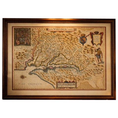
Antique Virginia Map Blaeu c.1642 – Jamestown, Powhatan, Chesapeake
1642 · Blaeu
$8,115
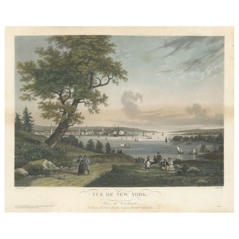
View of New York City from Weehawken, Rare Hand-Colored 1834 Aquatint Print
1834
$6,045
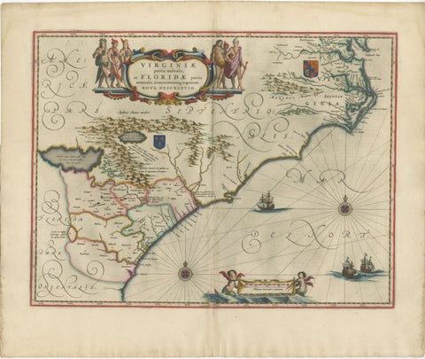
Blaeu Virginia and Florida Map – Decorative Early America Chart, 1642
1642 · Blaeu
$5,875
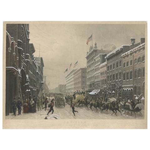
Stunning Winter Scene on Broadway, New York - Hand-Colored Aquatint from 1857
1857
$3,805
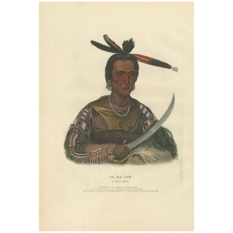
Antique Print of Tokacou 'Yankton Sioux Warrior' by McKenney, 1836
1836 · McKenney & Hall
$2,685
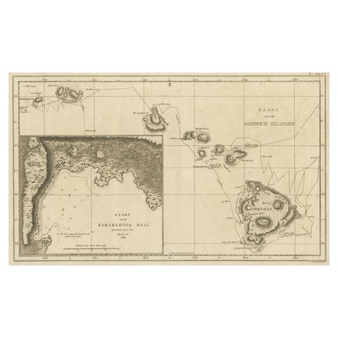
Map of the Hawaiian Islands with a Large Inset of Karakakooa Bay, 1803
1803
$2,520
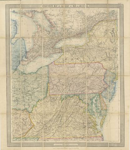
American Civil War “Seat of War” Map, Published Just After Bull Run, 1861
1861
$2,170
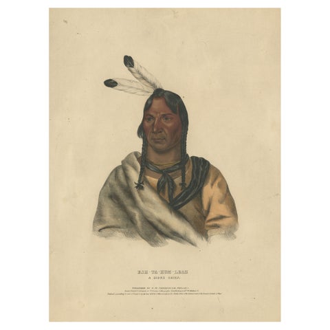
Sioux Chief Portrait – Esh-Ta-Hum-Leah, Native American Lithograph c.1838
1838
$2,125
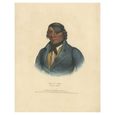
Portrait of Waa-Pa-Shaw – Sioux Chief, Hand-Colored Lithograph c.1838
1838
$2,125
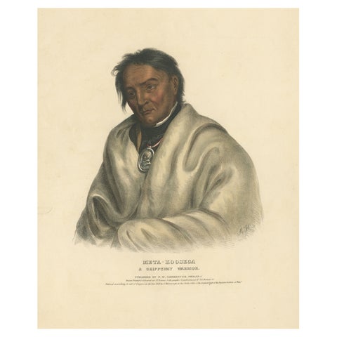
Ojibwe Warrior Portrait – Meta-Koosega, Hand-Colored Lithograph c.1838
1838
$2,125
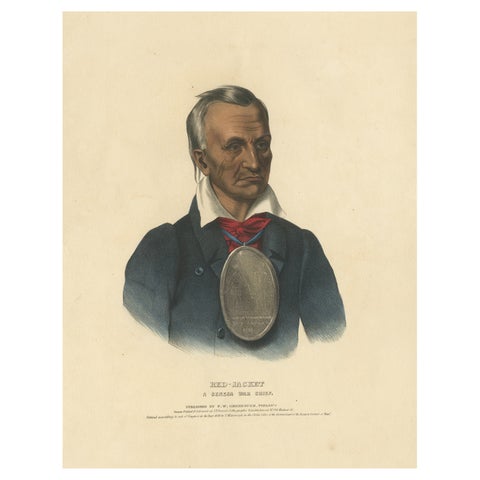
Large Antique Print of Red-Jacket, a Seneca War Chief, circa 1838
1838
$2,125
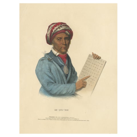
Large Antique Print of Sequoyah, also known as George Gist, circa 1838
1838
$2,125
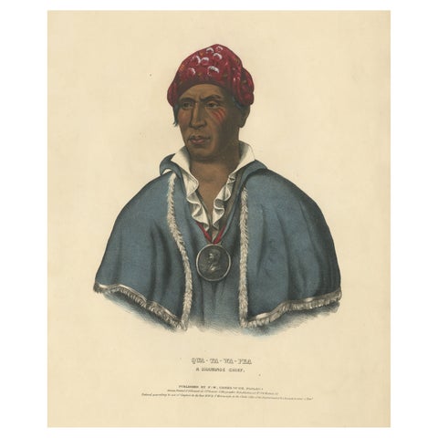
Large Hand-Colored Antique Print of Qua-Ta-Wa-Pea, a Shawnee Chief, circa 1838
1838
$2,125
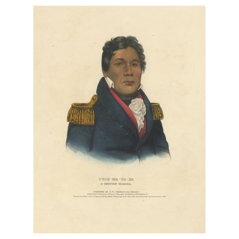
Large Antique Print of Push-Ma-Ta-Ha, a Choctaw Warrior, circa 1838
1838
$2,125
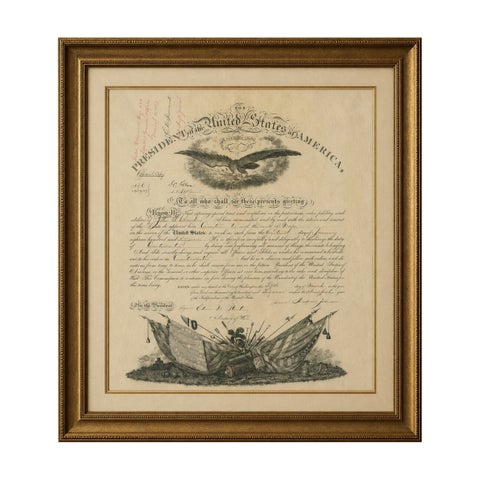
Andrew Johnson Military Commission 1867 – Quartermaster Appointment Civil War
1867
$2,070
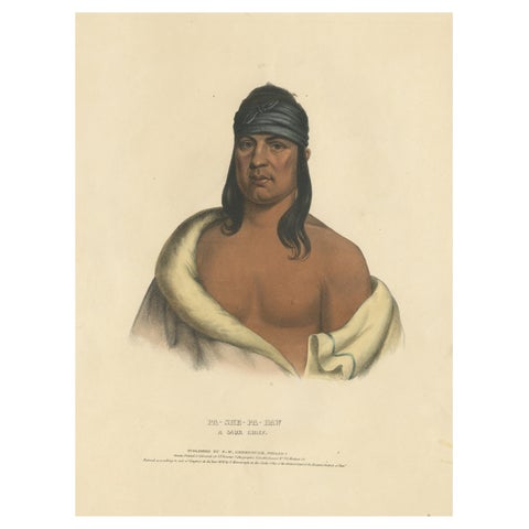
Large Hand-Colored Antique Print of Pa-She-Pa-Haw, a Sauk Chief, circa 1838
1838
$1,565
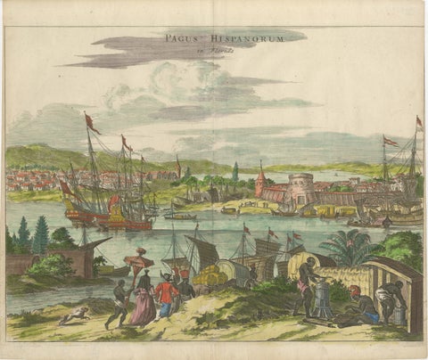
Rare 17th Century View of St. Augustine Florida, Hand-Colored, 1671
1671 · Montanus & Ogilby
$1,510
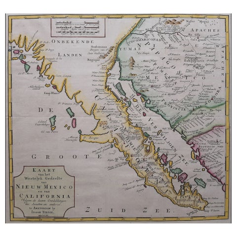
Original Antique Map of the Western Part of NEW MEXICO & CALIFORNIA
1765
$1,455
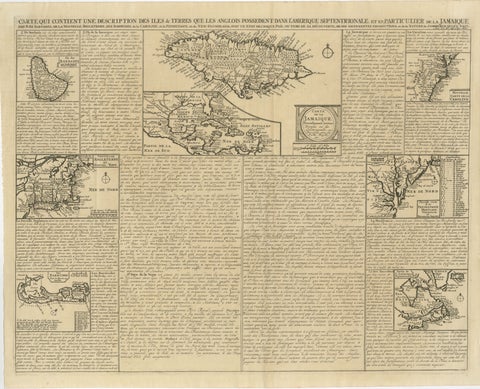
Rare French Colonial America Map, Jamaica Barbados Carolina, c.1719
1719
$1,450
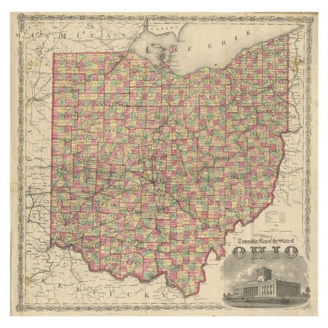
Antique Railroad & Township Map of Ohio by C.O. Titus, Paper, 1871
1871
$1,345
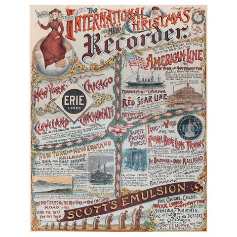
New York Recorder Poster, Christmas Edition, Original Vintage Lithograph, 1893
1893
$1,345
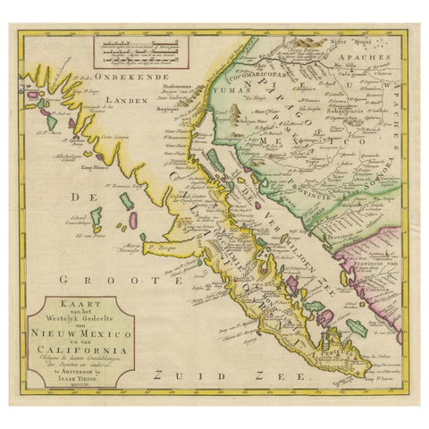
Antique Map of Baja California and parts of Alta California, Arizona and Sonora
1765
$1,110
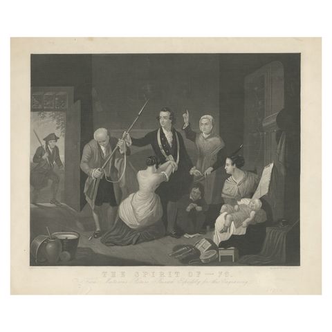
Antique Print of a Scene in American Revolution, The Spirit of '76. '1862'
1862
$1,090
Page 1 of 25Next →