Original antique maps & prints of
The Caribbean
★ 99 original pieces ★
The West Indies were among the most contested and most mapped waters in the world. Original charts, island maps and views of Cuba, Hispaniola, Jamaica, the Bahamas, Bermuda and the Lesser Antilles.
Cuba
16 pieces
Jamaica
18 pieces
Hispaniola (Haiti & Dominican Republic)
16 pieces
The Bahamas
3 pieces
Bermuda
2 pieces
The Lesser Antilles
34 pieces
The West Indies
70 pieces
★
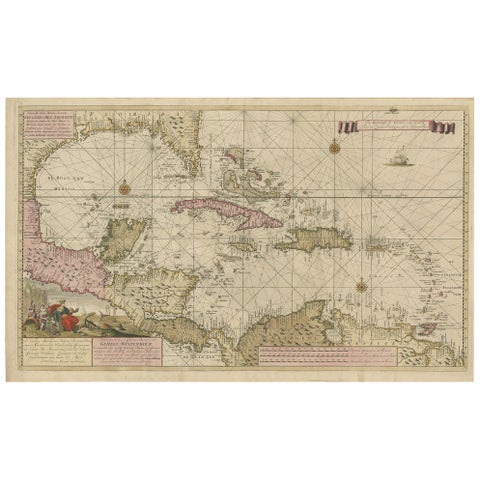
Engraving of a Map of Florida, the Gulf Coast, Caribbean & Central America, 1728
1728 · Van Keulen
$15,335
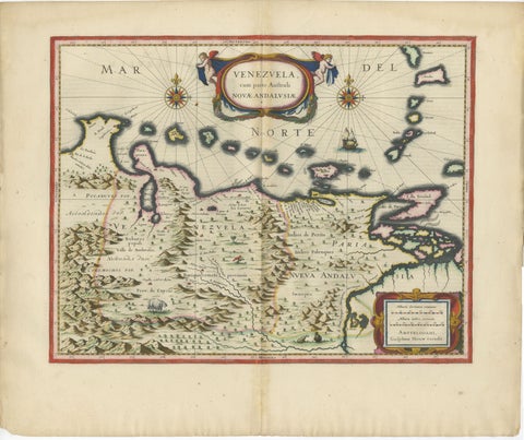
Blaeu Venezuela Map – Decorative Caribbean & Nueva Andalusia Chart 1642
1642 · Blaeu
$5,540
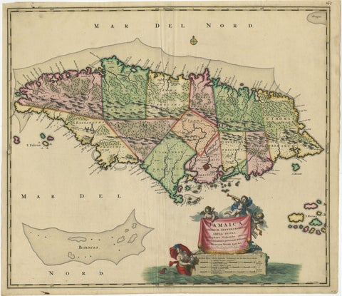
Antique Hand-Colored Map of Jamaica, circa 1680
1680 · Visscher
$2,185
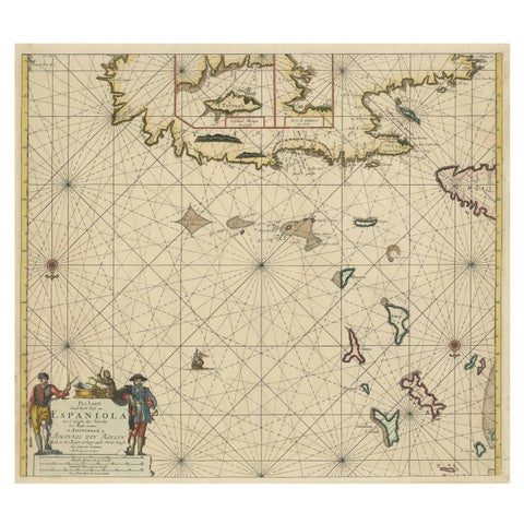
Original Antique Sea Chart - the Northern Part of Hispaniola, Western Cuba, 1684
1684 · Van Keulen
$2,125
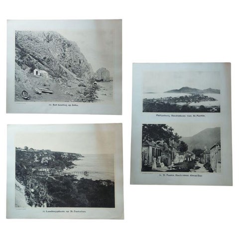
Large Photographic Plates of Saba, Sint Eustatius, Sint Martin Caribbean, 1910
1910
$1,845
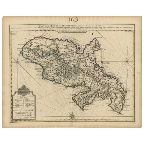
Antique Map of Martinique, Showing Roads, Houses, Sugar Plantations, etc. c.1750
1750 · Sanson
$1,680
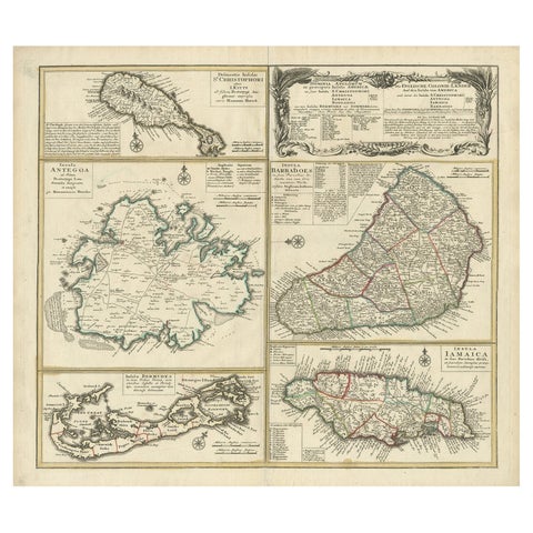
Original Old Map of St Kitts, Antigua, Bermuda, Barbados, and Jamaica, ca.1745
1745 · Homann Heirs
$1,625
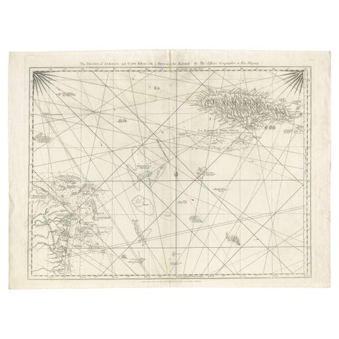
Navigational Chart of Jamaica, Cape Gracias a Dios, and the Mosquito Coast, 1775
1775
$1,345
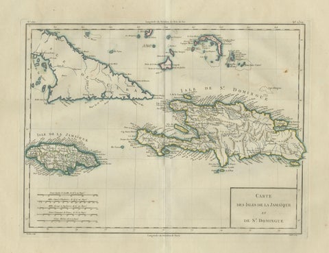
Antique Caribbean Map, Jamaica Cuba Saint-Domingue, Tardieu, c.1775
1775
$1,115
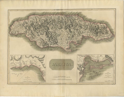
Jamaica Map by John Thomson, Kingston & Port Royal Harbors, c.1817
1817 · John Thomson
$1,090
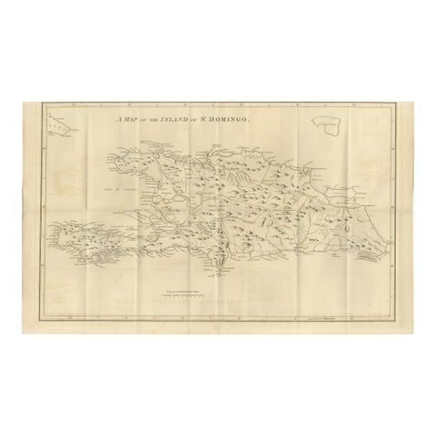
Saint Domingue Map 1793 – Colonial Haiti and Dominican Republic Plan
1793
$1,075
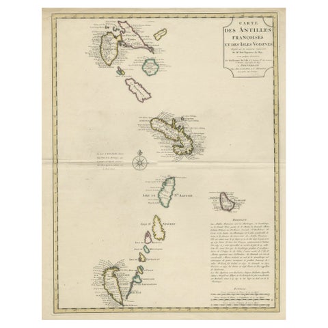
Detailed Antique Map of the Windward Islands in the Caribbean
circa 1722
$1,050
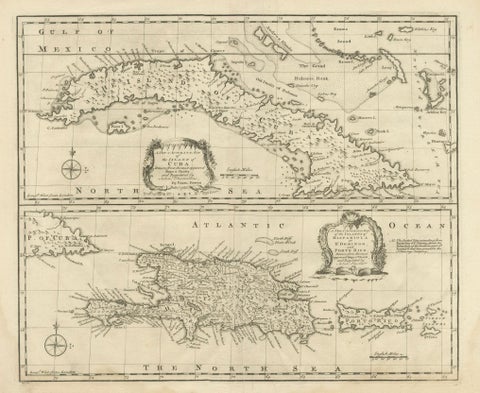
Antique Map of Cuba & Hispaniola, Caribbean Sea Chart by Bowen, 1744
1744 · Emanuel Bowen
$985
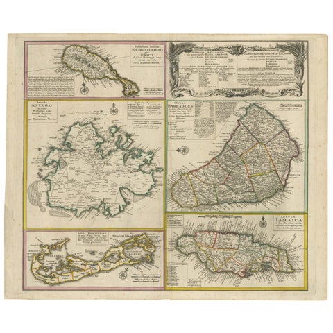
Old 18th Century Composite Map of Key Caribbean Islands with Descriptive Texts
circa 1702
$875
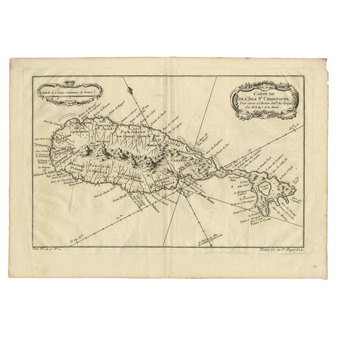
Antique Map of the Caribbean Island of St Kitts, ca.1750
1750 · Guillaume Delisle
$805
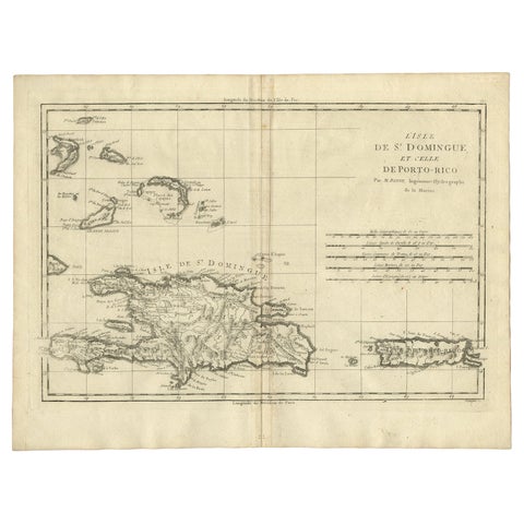
Detailed Antique Map of Santa Domingo, Puerto Rico, Eastern Bahamas, ca. 1780
1780 · Jacques-Nicolas Bellin
$785
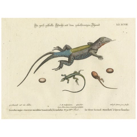
Exotic Jamaican Lizards: The Large Spotted Fork-Tailed Lizard Engraved, c.1773
1773
$770
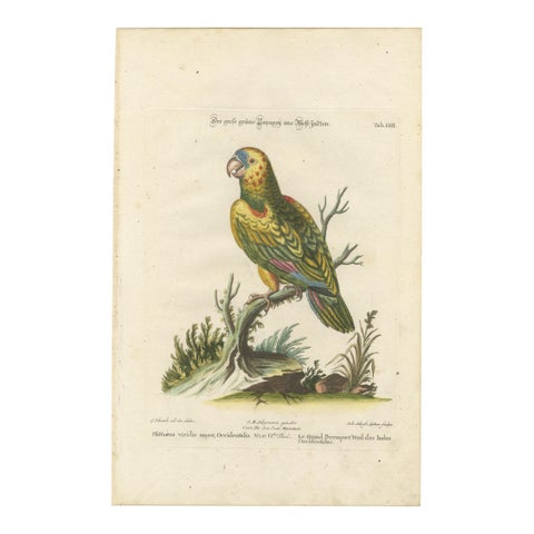
The Great Green Parrot of the West Indies – Hand-Colored Engraving, ca.1770
1770
$770
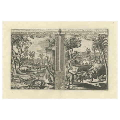
Colonial Curiosities: Fauna of the West Indies, by R. de Hooghe, circa 1708
1708
$740
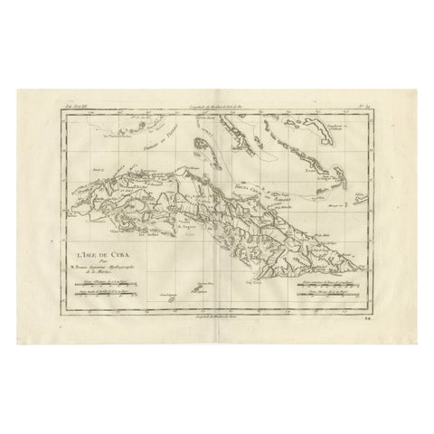
Cuba – Enlightenment Island Map by Rigobert Bonne, c.1780
1780 · Rigobert Bonne
$715
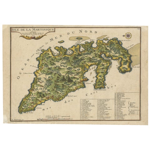
L'isle De La Martinique Caribbean Copper Engraving Original Handcoloring, 1704
1704
$695
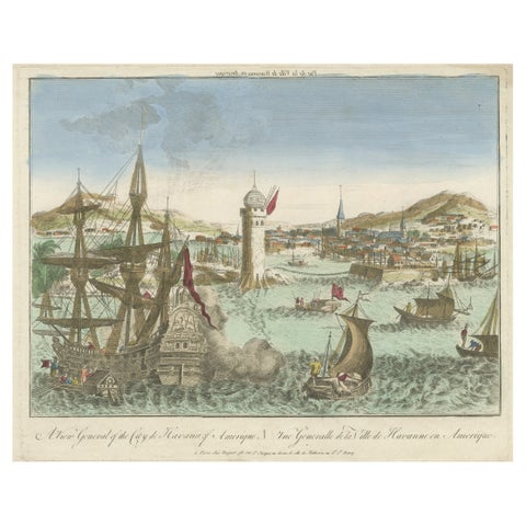
Hand-Colored Vue d’Optique of the Harbour of Havana, Cuba, circa 1770
1770
$685
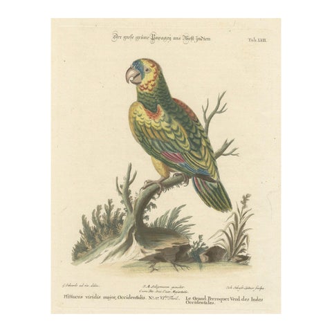
The Large Green Parrot of The West Indies Hand-Colored and Engraved, 1749
1749
$660
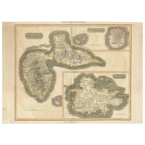
1821 Thomson Map of Guadeloupe, Marie-Galante and Antigua in the West Indies
1821 · John Thomson
$650
Page 1 of 5Next →