1880 · Maps
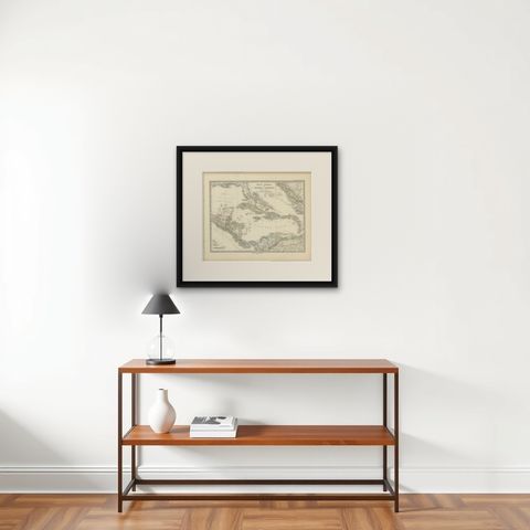
1880 Map of the Caribbean and Central America by Adolf Stieler
$325
€290 · dollar price at today's exchange rate
Buy now Ask a question
Shipping to the United States: $51 standard, $73 express, insured and tracked.
- Date
- 1880
- Maker
- Stieler
- Kind
- Maps
- Size
- 38 × 47 cm (15 × 18.5 in)
- Period
- The Gilded Age
- Places
- Central America, The West Indies
- Reference
- BG-13290-4
What the condition grades mean
- Excellent
- Bright and clean, with no faults worth mentioning.
- Very good
- Only light signs of age, such as faint toning.
- Good
- Normal signs of age for a sheet of this period: toning, some foxing, small marks or neat old repairs.
- Fair
- Clear faults such as staining, tears or repairs, priced to match.
Every fault we see is written in the condition note, and the whole sheet is shown uncropped in the photos.
Guaranteed original. This is an original of the period stated, not a later reproduction or print-on-demand copy. If it is ever shown to be otherwise, we refund you in full.
Shipping to the United States. Sent from our gallery in Langweer, the Netherlands, flat between boards or rolled in a tube, and fully insured.
Delivery and import charges.
About this piece
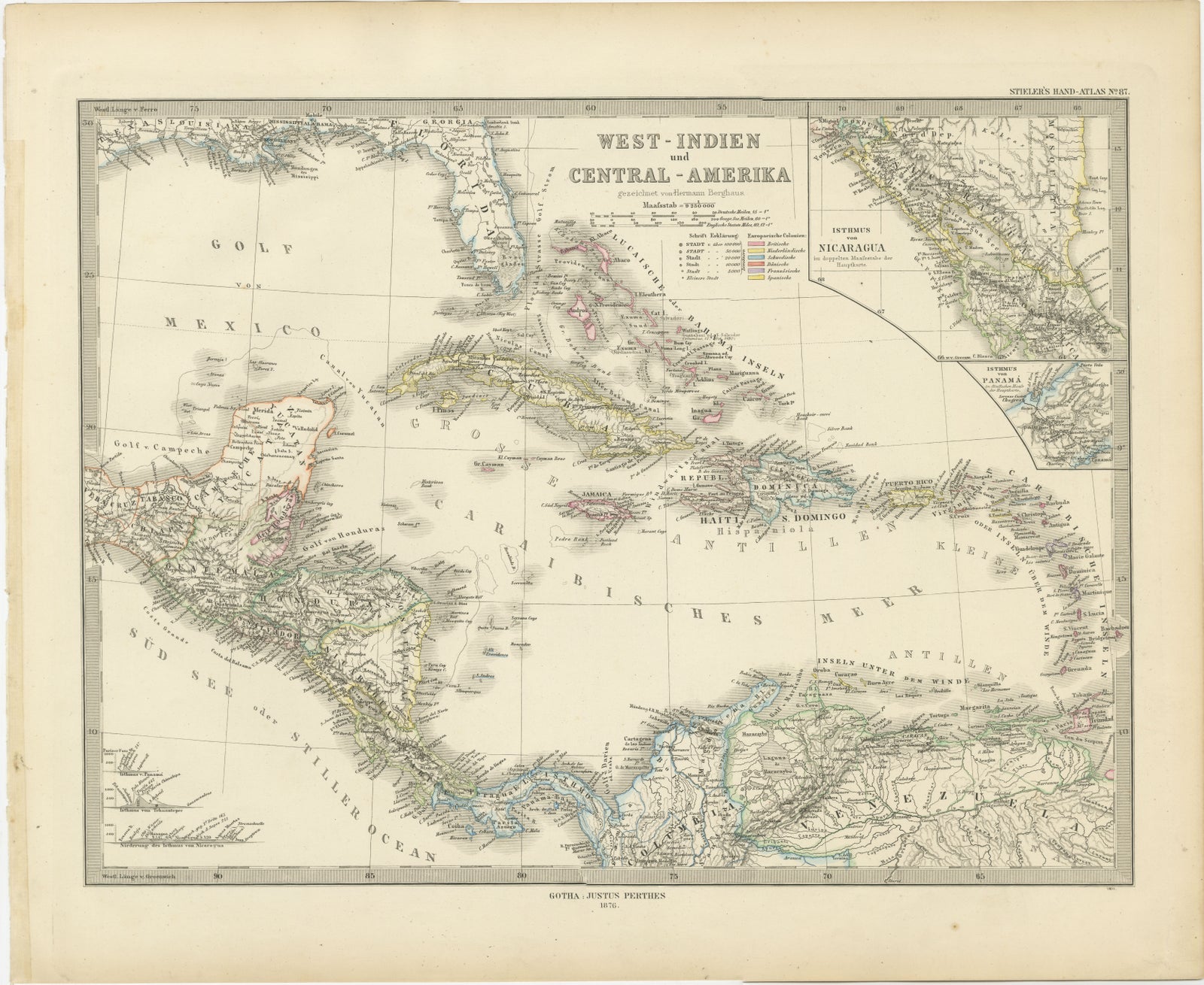
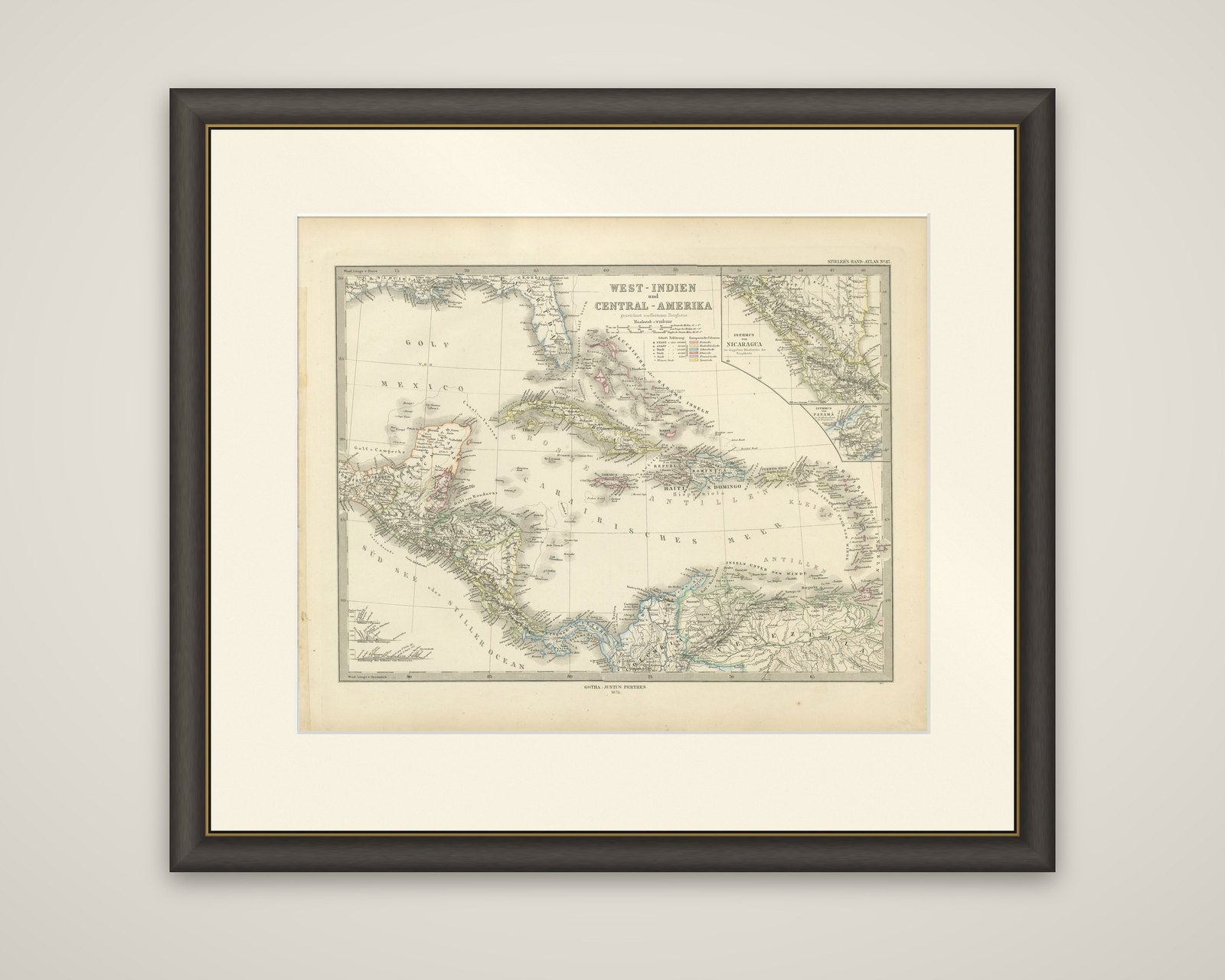
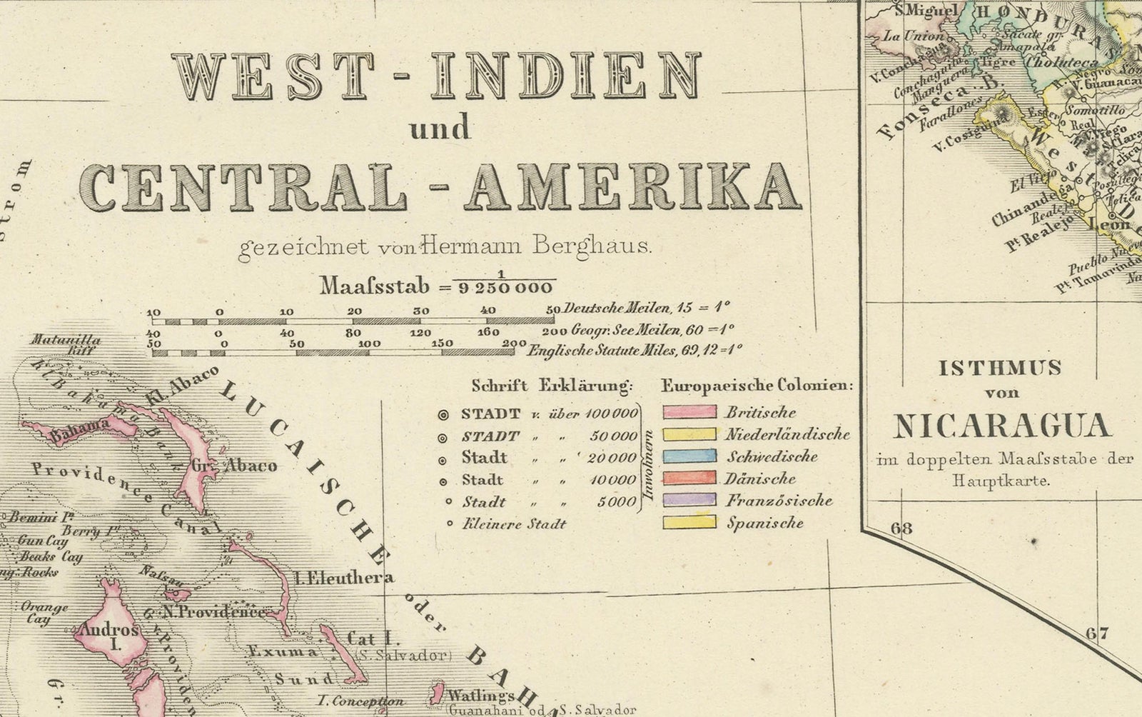
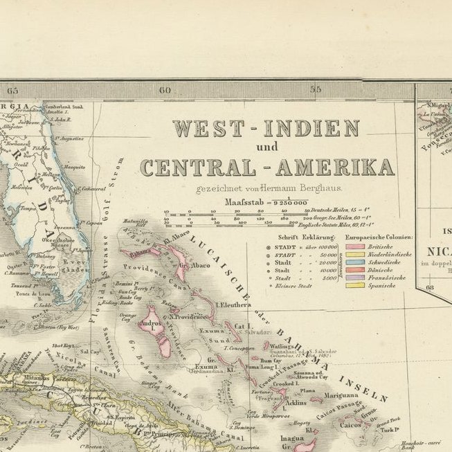
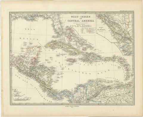
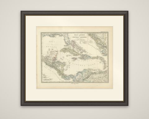
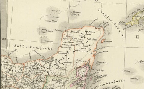
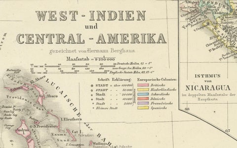
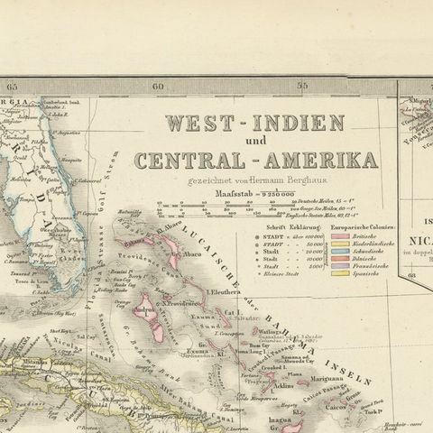
The Caribbean and Central America on a single sheet titled "West-Indien und Central-Amerika", a German map from Stieler's Hand-Atlas, with the imprint "Gotha: Justus Perthes" at the foot, dated 1880. It is a copper-engraved map with hand-colored outlines, and the lettering is in German.
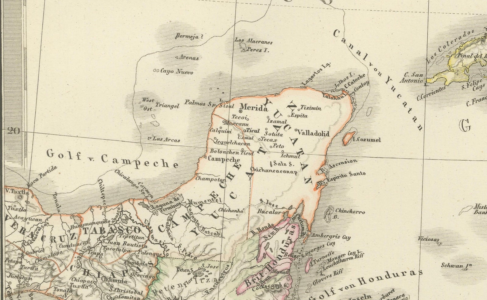
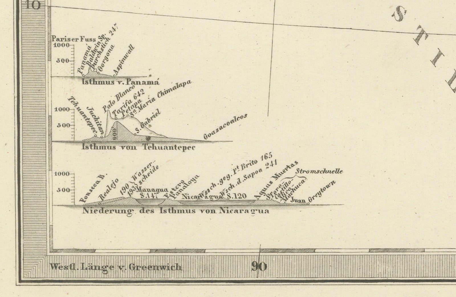
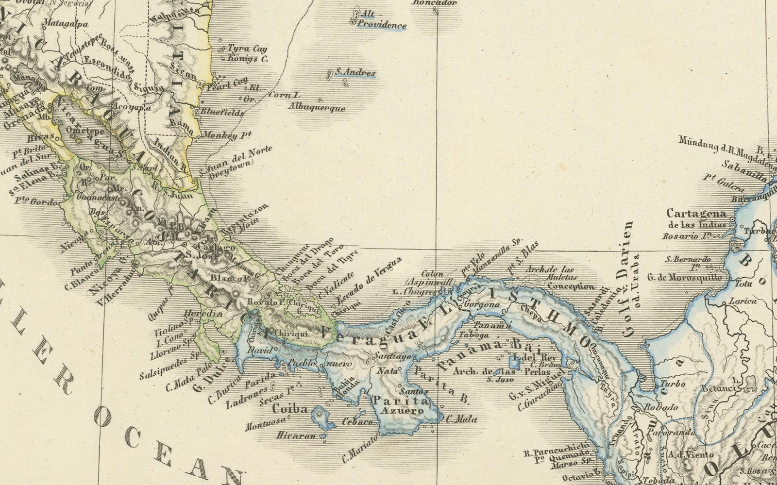
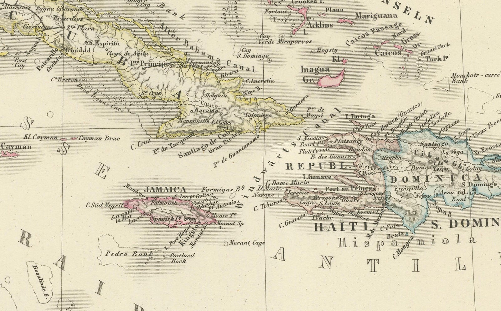
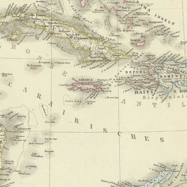
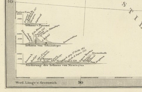
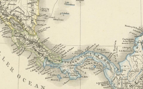
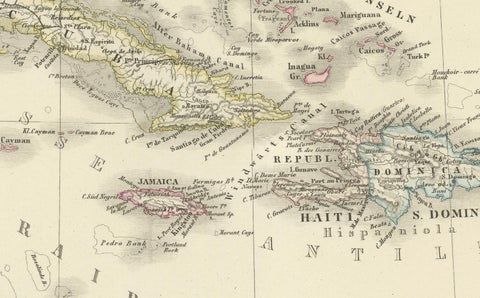
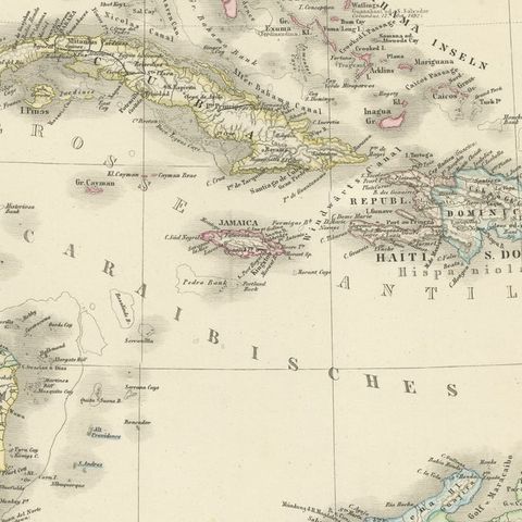
The sheet reaches from the Gulf of Mexico ("Golf von Mexico") in the northwest and the Yucatan peninsula, with the Gulf of Campeche, across Central America to the Pacific, which is lettered "Süd See oder Stiller Ocean". Cuba, Hispaniola ("Haiti & S. Domingo"), Jamaica, Puerto Rico, the Bahamas and the Lesser Antilles ("Kleine Antillen") are drawn across the Caribbean ("Caraibisches Meer"), with the Florida peninsula at the top and the coast of northern South America along the foot. The outlines are colored to distinguish possessions, and a legend in the upper left explains the colors for the European powers. Two framed insets at the upper right give enlarged maps of the Isthmus of Nicaragua and the Isthmus of Panama, the two routes then proposed for a canal.
The map is credited as drawn by Hermann Berghaus, who worked for Perthes in Gotha.