



A Bartele Gallery CollectionLangweer · Jakarta

American Maps & Prints
Original antique maps, charts & prints of the Americas ★ Originals only


Home › General Americana
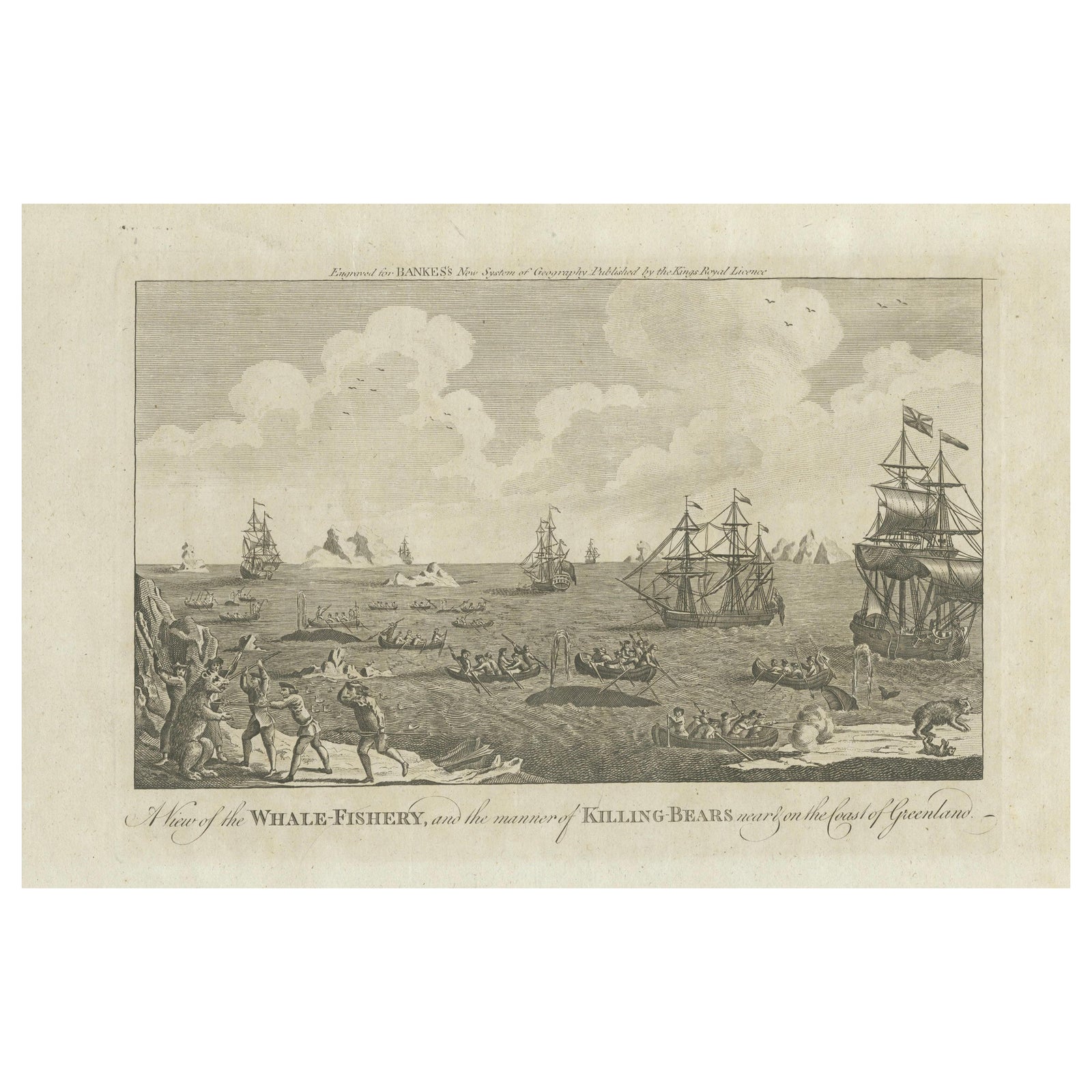
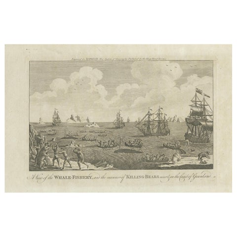
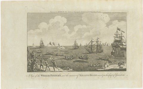
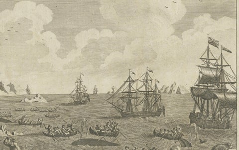
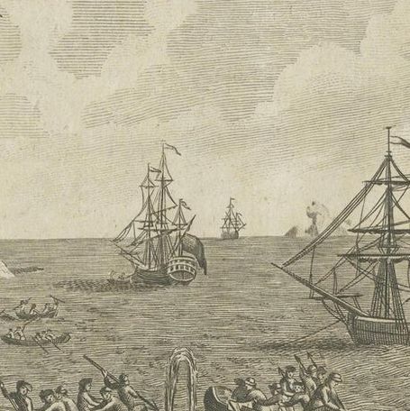
A View of the Whale-Fishery and the Manner of Killing Bears near Greenland, 1778
1778 · City Views & Plans

A View of the Whale-Fishery and the Manner of Killing Bears near Greenland, 1778

$290
€260 · dollar price at today's exchange rate

Buy now Ask a question

Shipping to the United States: $51 standard, $73 express, insured and tracked.

Date
1778
Kind
City Views & Plans
Size
23.5 × 37.5 cm (9.3 × 14.8 in)
Condition
Good. The engraving is in a very good condition, with a strong, clear impression and well-preserved details. The laid paper exhibits minor age-related toning, particularly at the margins, which is typical for its age and does not detract from the image.
Period
The Early Republic
Reference
BG-13599-60
What the condition grades mean
Excellent
Bright and clean, with no faults worth mentioning.
Very good
Only light signs of age, such as faint toning.
Good
Normal signs of age for a sheet of this period: toning, some foxing, small marks or neat old repairs.
Fair
Clear faults such as staining, tears or repairs, priced to match.

Every fault we see is written in the condition note, and the whole sheet is shown uncropped in the photos.

Guaranteed original. This is an original of the period stated, not a later reproduction or print-on-demand copy. If it is ever shown to be otherwise, we refund you in full.
Shipping to the United States. Sent from our gallery in Langweer, the Netherlands, flat between boards or rolled in a tube, and fully insured. Delivery and import charges.
About this piece

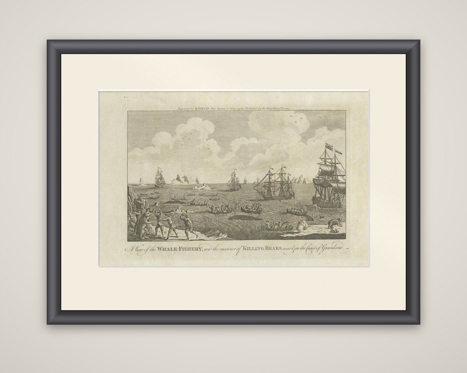
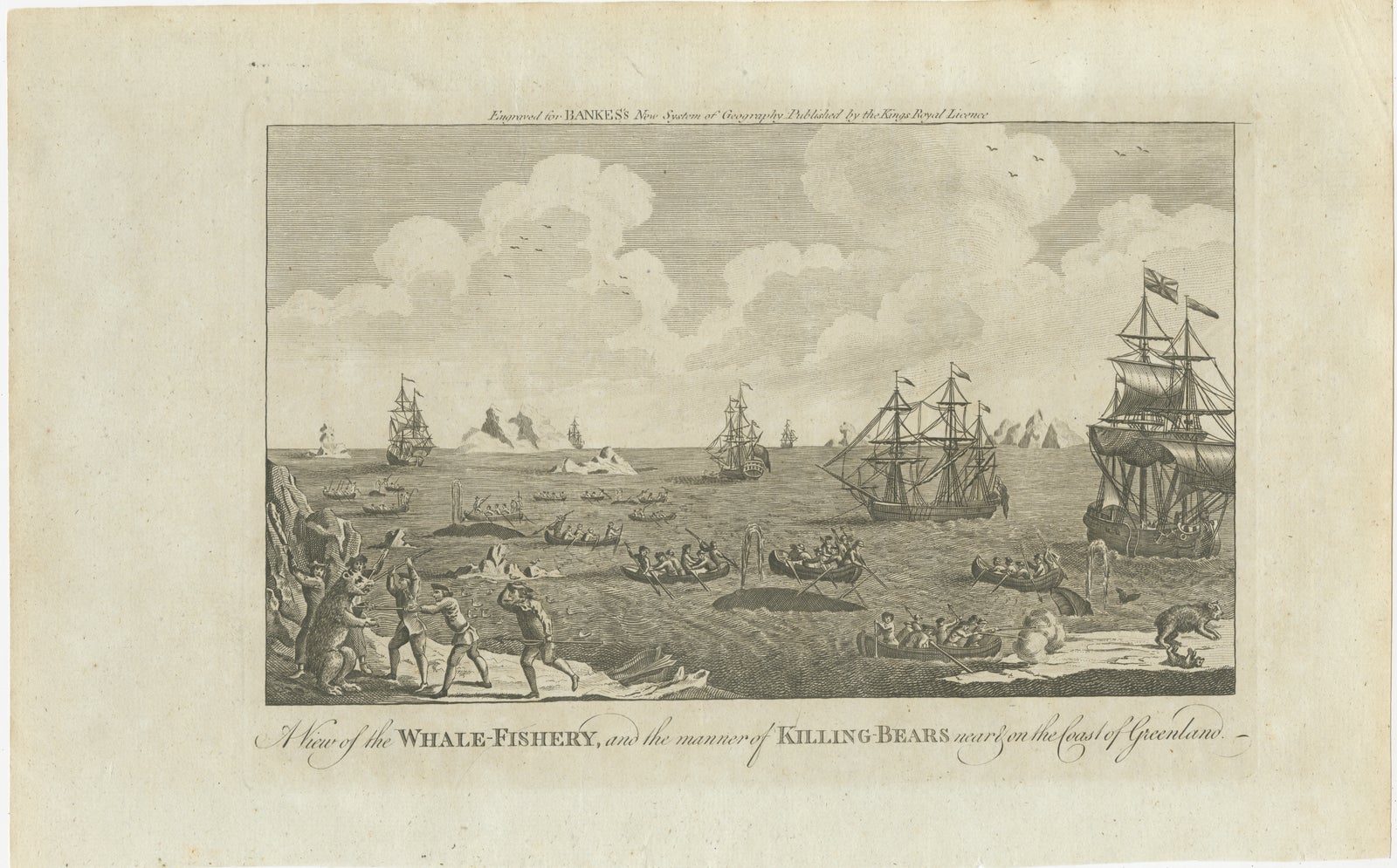
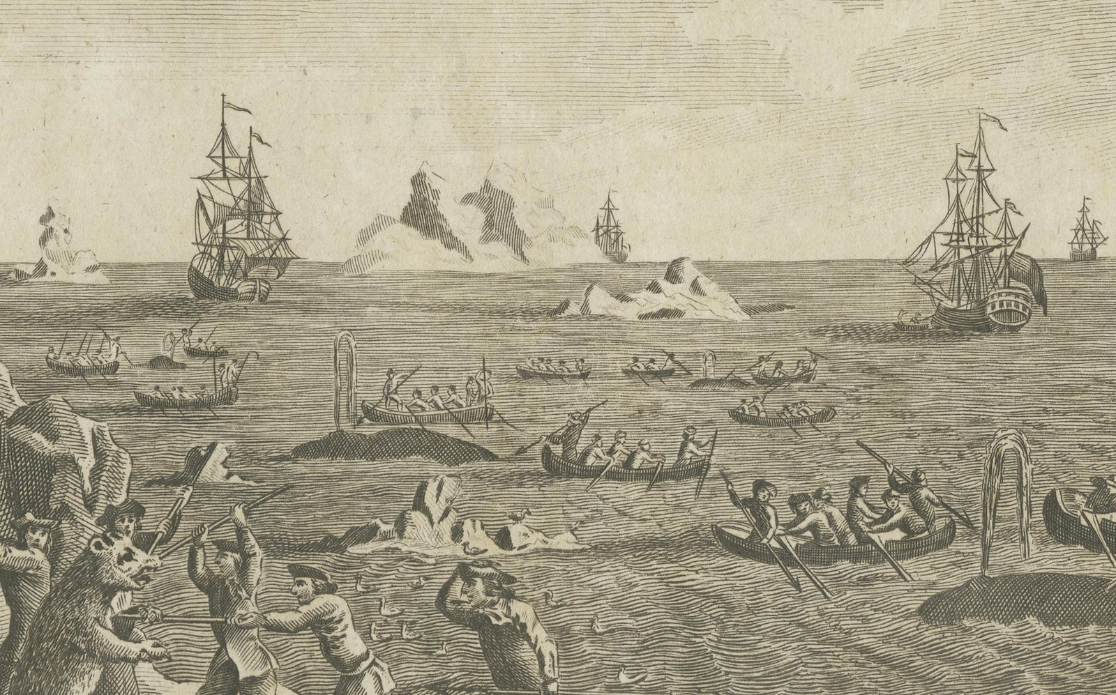
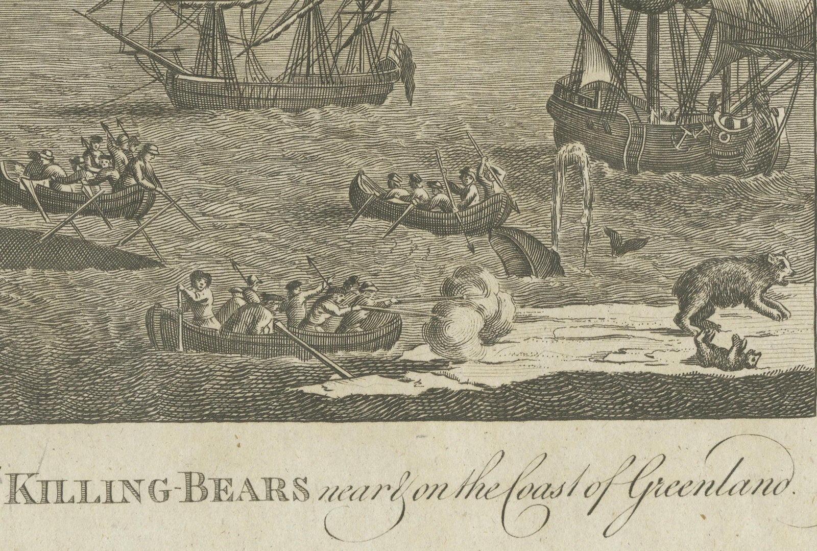
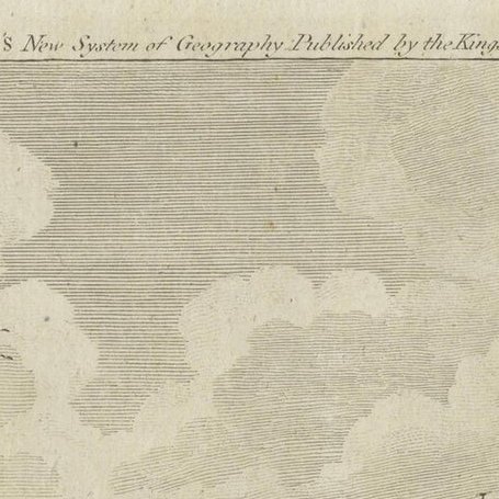
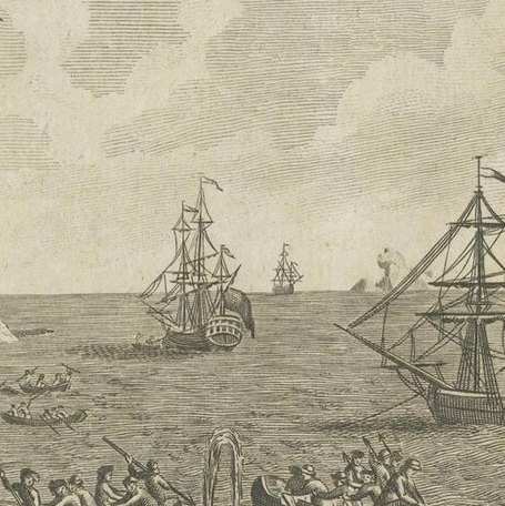
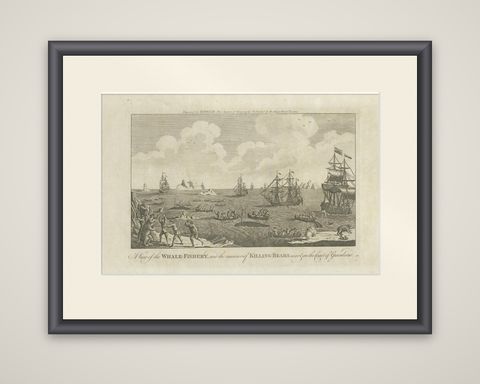
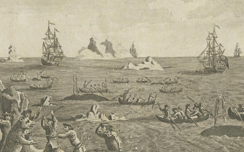
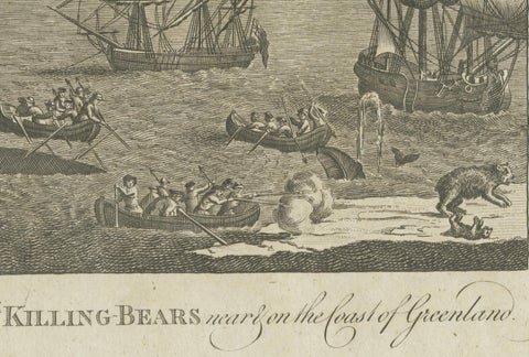
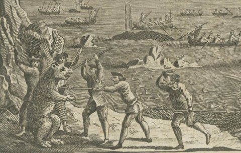
A View of the Whale-Fishery, and the manner of Killing Bears near on the coast of Greenland, an original copper engraving of 1778 from a London geography. The legend engraved above the image reads "Engraved for Bankes's New System of Geography Published by the Kings Royal Licence," while the old catalog attributes the plate to Charles Middleton's A New and Complete System of Geography, published in London by J. Cooke in 1778.

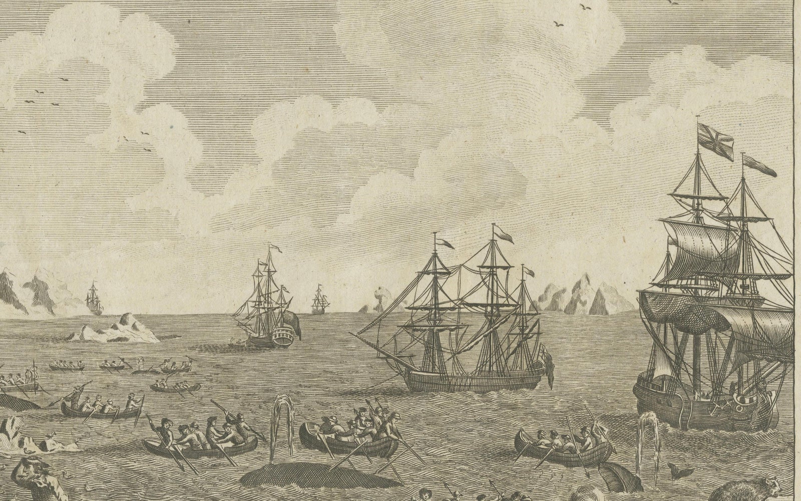
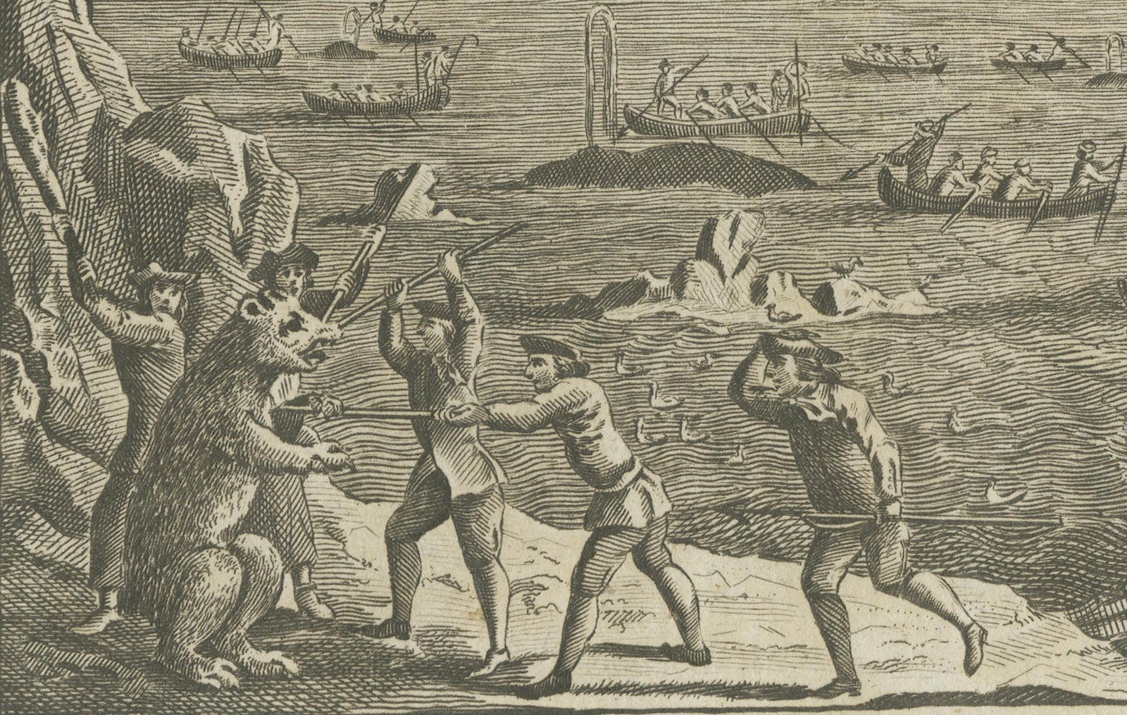
The view looks over a cold, open sea with icebergs in the distance and sailing ships scattered across the water, several of them with the British flag at the masthead. In the middle distance, small whaleboats crowded with oarsmen row up to harpooned whales, while a large ship at the right stands by. At the left, on a rocky shore, three men armed with long poles confront a standing polar bear, and a bear and a smaller animal wander the ice floe at the lower right.

The sheet shows the northern whale fishery of the later eighteenth century, in which ships from Britain and the Netherlands worked the seas around Greenland and Spitsbergen for whale oil and baleen. Greenland and the Davis Strait were also the gateway to Baffin Bay and the Canadian Arctic.

★

You might also like


Historic View of Sugar Milling in 17th Century America, published in 1673
1673 · Montanus & Ogilby
$425

Ask about this print

We reply by email, usually within one working day.

Your favorites

Saved in this browser. Email the list to yourself to keep it on any device.

We use your email to send this list and, only if you tick the box and confirm, for occasional new arrivals. Every email has an unsubscribe link. Bartele Gallery, the Netherlands.

Your bag

Total

Each piece is bought on its own; shipping is added at checkout.