Maps
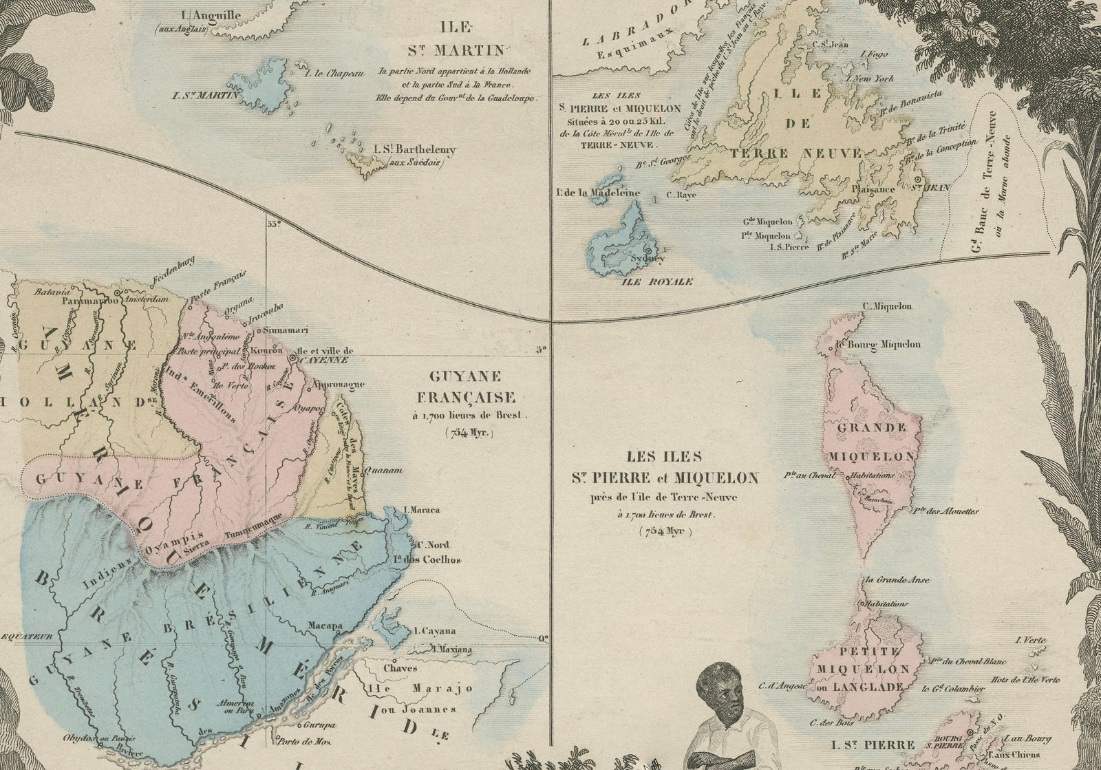
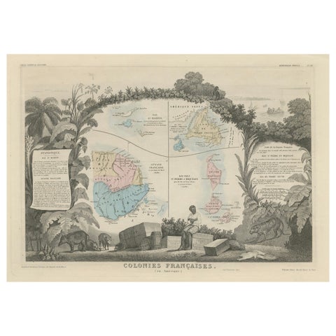
Map of French Colonies in the Americas: St. Martin, French Guiana and St. Pierre
$215
€190 · dollar price at today's exchange rate
Buy now Ask a question
Shipping to the United States: $51 standard, $73 express, insured and tracked.
- Kind
- Maps
- Size
- 37 × 52 cm (14.6 × 20.5 in)
- Places
- Canada, The Guianas, The Lesser Antilles
- Reference
- BG-13618-6
What the condition grades mean
- Excellent
- Bright and clean, with no faults worth mentioning.
- Very good
- Only light signs of age, such as faint toning.
- Good
- Normal signs of age for a sheet of this period: toning, some foxing, small marks or neat old repairs.
- Fair
- Clear faults such as staining, tears or repairs, priced to match.
Every fault we see is written in the condition note, and the whole sheet is shown uncropped in the photos.
Guaranteed original. This is an original of the period stated, not a later reproduction or print-on-demand copy. If it is ever shown to be otherwise, we refund you in full.
Shipping to the United States. Sent from our gallery in Langweer, the Netherlands, flat between boards or rolled in a tube, and fully insured.
Delivery and import charges.
About this piece
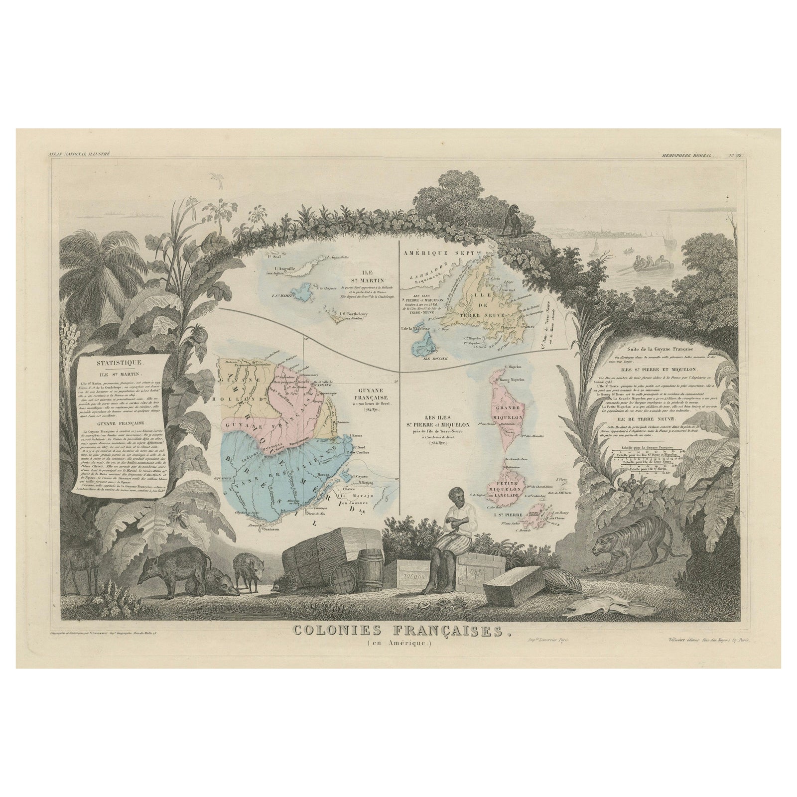
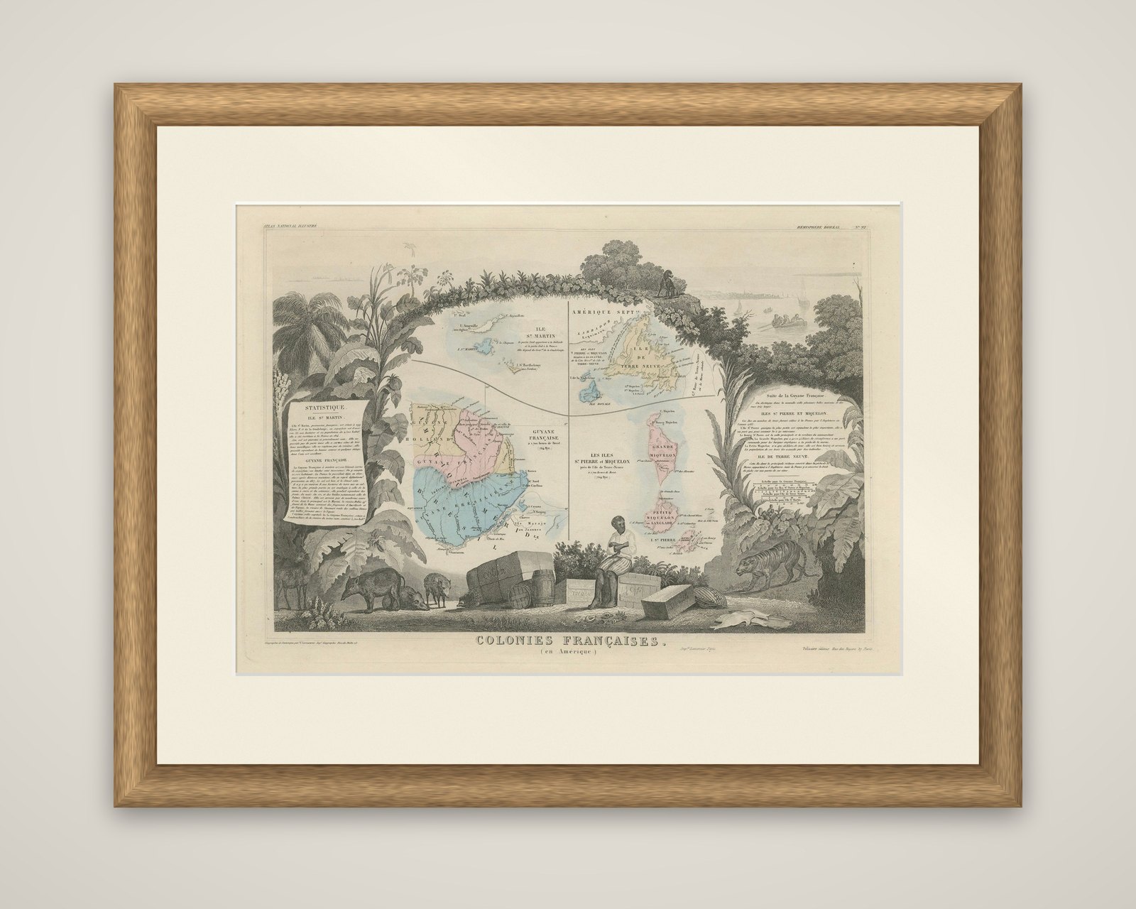
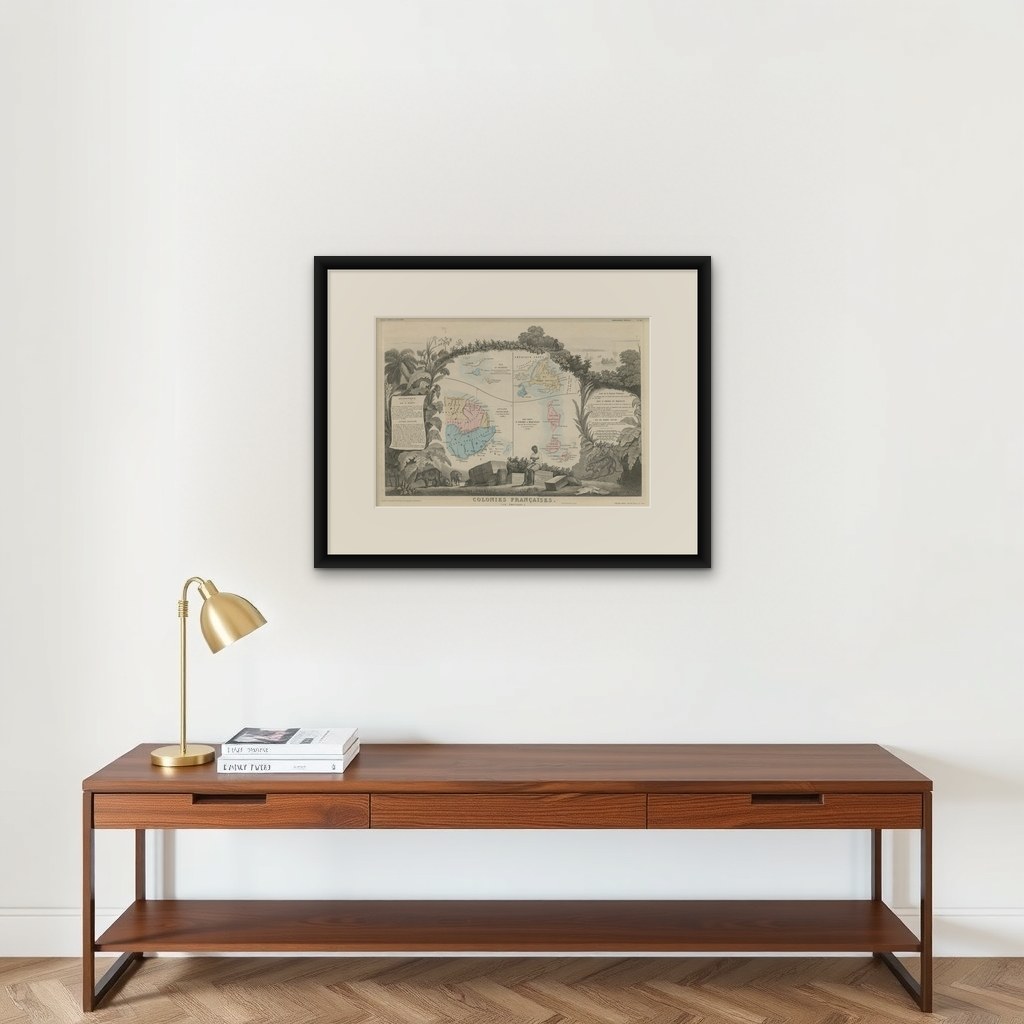
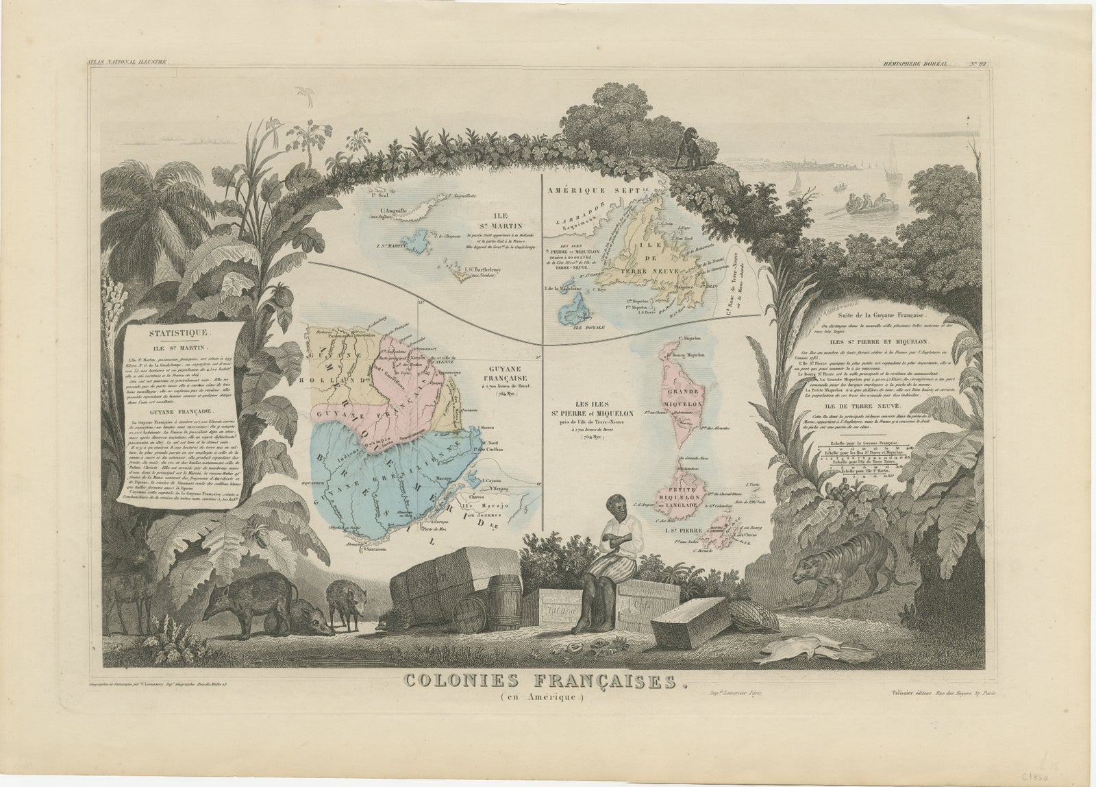
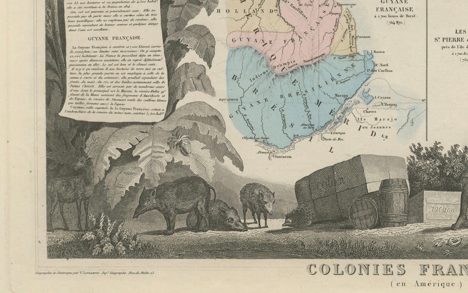
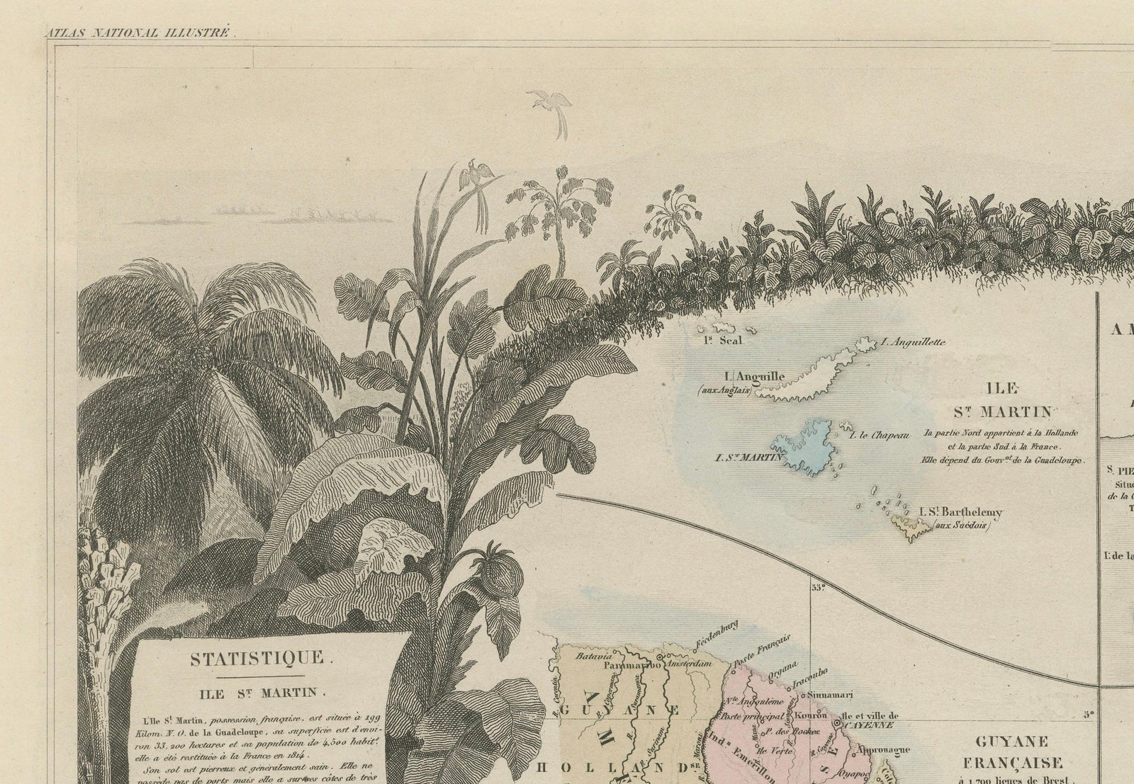
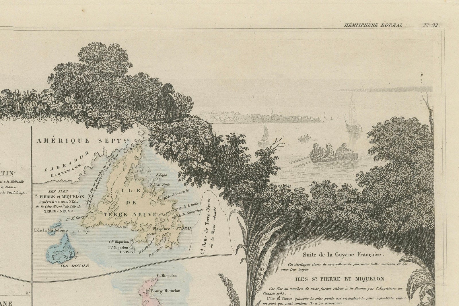
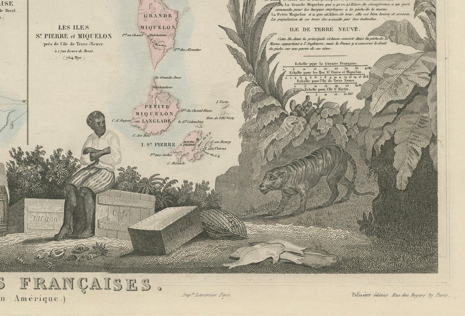
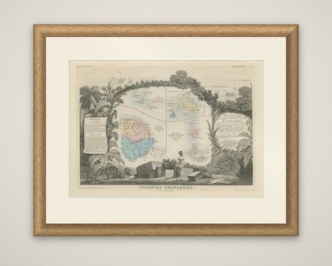
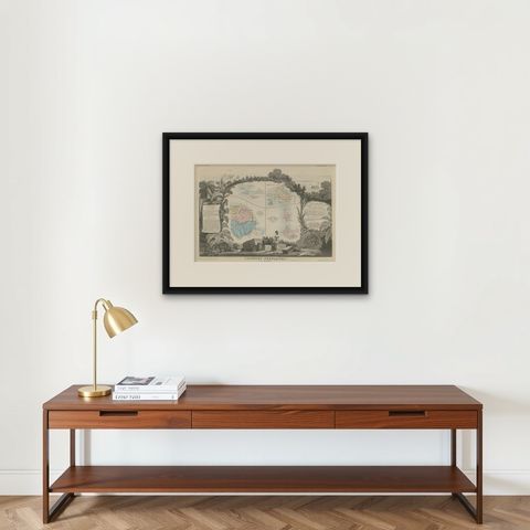
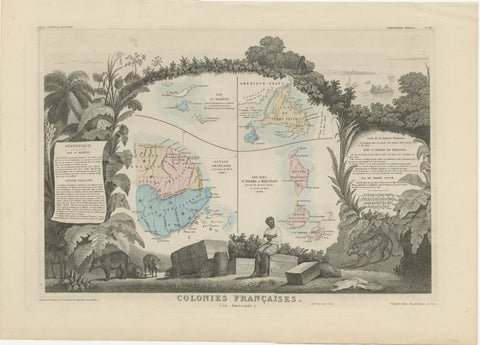
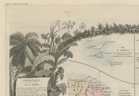
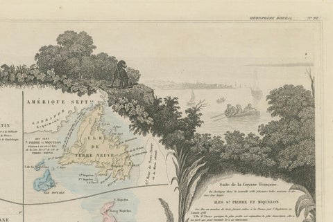
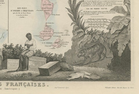
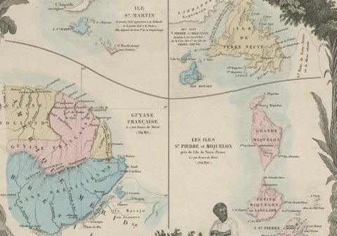
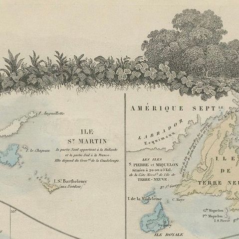
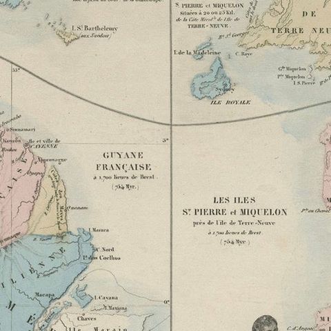
The French colonies in America on a single decorative sheet titled "Colonies Françaises (en Amérique)", an original steel engraving from the Atlas National Illustré of V. Levasseur, 1852, with hand-colored regions and border. The upper margin is lettered "Atlas National Illustré" and "Hémisphère Boréal".
Four small maps share the central space. At the upper left is the island of Saint-Martin ("Île St. Martin") with its neighbors; below it, French Guiana ("Guyane Française") fills the lower left in pink, yellow and blue, with its Atlantic coast and rivers and the neighboring colonies lettered at its edges. At the upper right is Newfoundland ("Île de Terre-Neuve") under the heading "Amérique Sept.", and below it the islands of Saint-Pierre and Miquelon, with Grande Miquelon, Petite Miquelon and Saint-Pierre separately named. Two printed statistics panels at the left and right edges give the area and population of each colony.
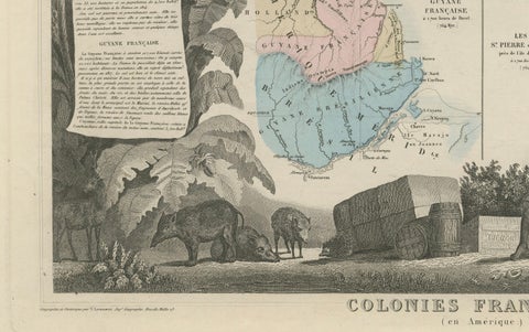
The frame is a tropical scene: palms and broad-leaved plants rise at both sides, and in the foreground a man sits among barrels, crates and sacks of colonial produce, with wild boar at the left and a large cat, perhaps a jaguar, at the right. The vignette is the usual Levasseur device of setting the colonies in a framework of their plants, animals and trade goods.