

A Bartele Gallery CollectionLangweer · Jakarta

American Maps & Prints
Original antique maps, charts & prints of the Americas ★ Originals only


Home › The Caribbean › The Lesser Antilles
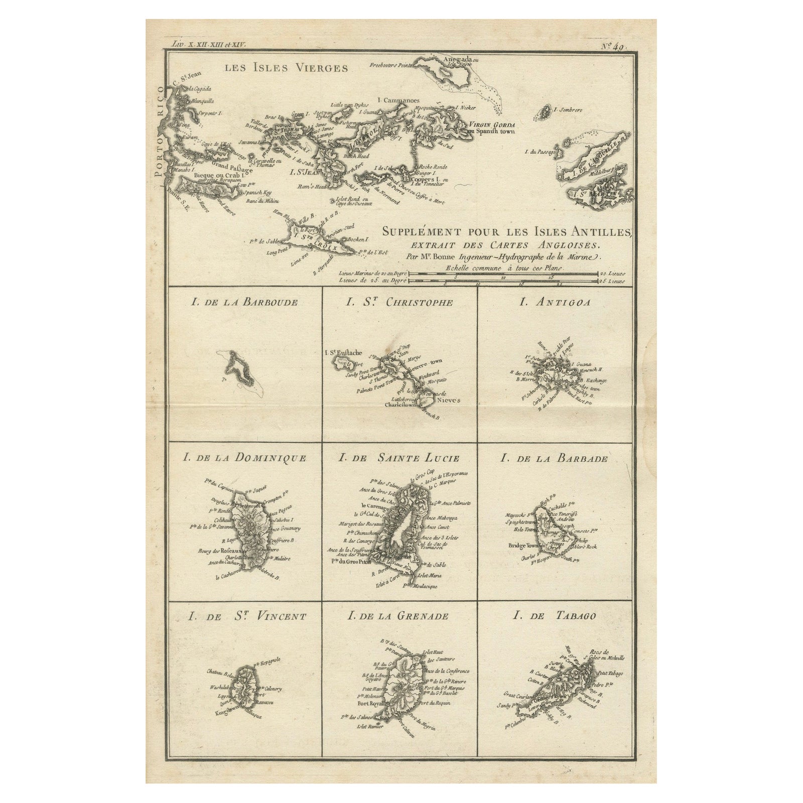
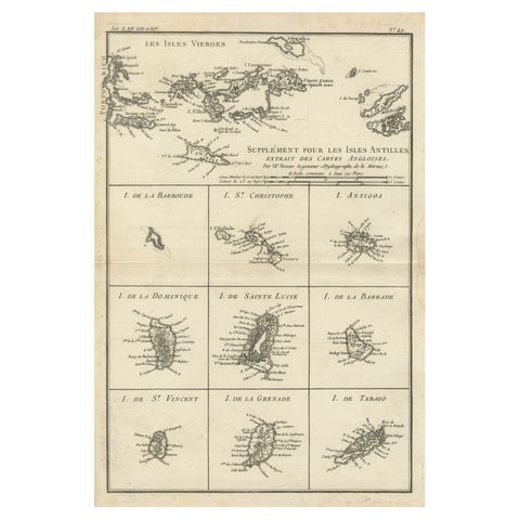
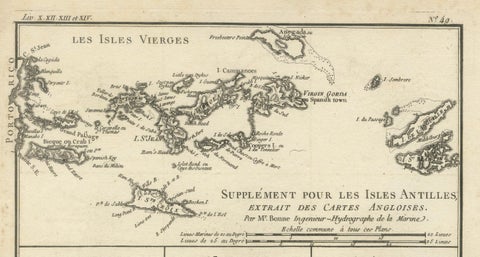
Map of Virgin Islands and Lesser Antilles by Rigobert Bonne, c. 1780
1780 · Maps

Map of Virgin Islands and Lesser Antilles by Rigobert Bonne, c. 1780

$370
€330 · dollar price at today's exchange rate

Buy now Ask a question

Shipping to the United States: $51 standard, $73 express, insured and tracked.

Date
1780
Maker
Rigobert Bonne
Kind
Maps
Size
36.5 × 25.4 cm (14.4 × 10 in)
Condition
Good. Good dark impression on laid paper with wide margins. Some slight toning along center fold and faint edge wear consistent with age. Original platemark visible.
Period
The Early Republic
Places
The Lesser Antilles, The West Indies
Reference
BG-13619-11
What the condition grades mean
Excellent
Bright and clean, with no faults worth mentioning.
Very good
Only light signs of age, such as faint toning.
Good
Normal signs of age for a sheet of this period: toning, some foxing, small marks or neat old repairs.
Fair
Clear faults such as staining, tears or repairs, priced to match.

Every fault we see is written in the condition note, and the whole sheet is shown uncropped in the photos.

Guaranteed original. This is an original of the period stated, not a later reproduction or print-on-demand copy. If it is ever shown to be otherwise, we refund you in full.
Shipping to the United States. Sent from our gallery in Langweer, the Netherlands, flat between boards or rolled in a tube, and fully insured. Delivery and import charges.
About this piece

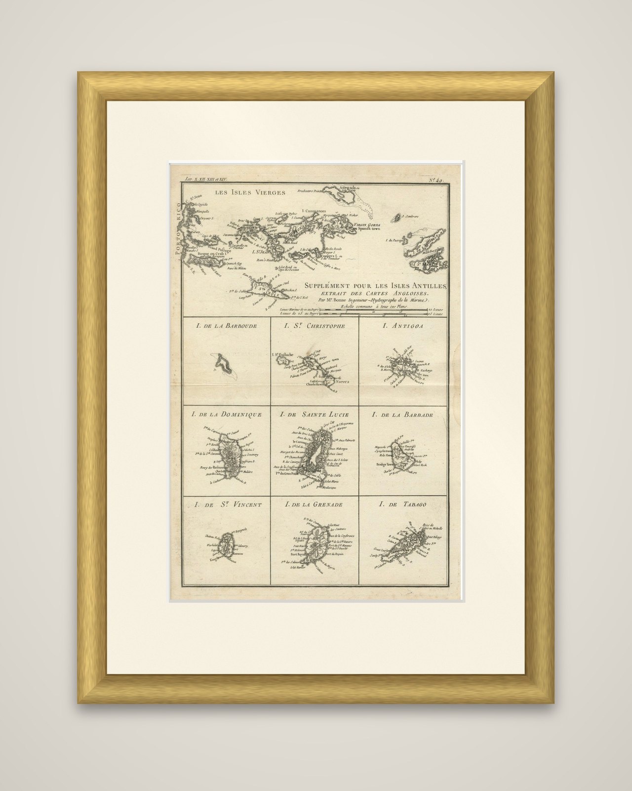
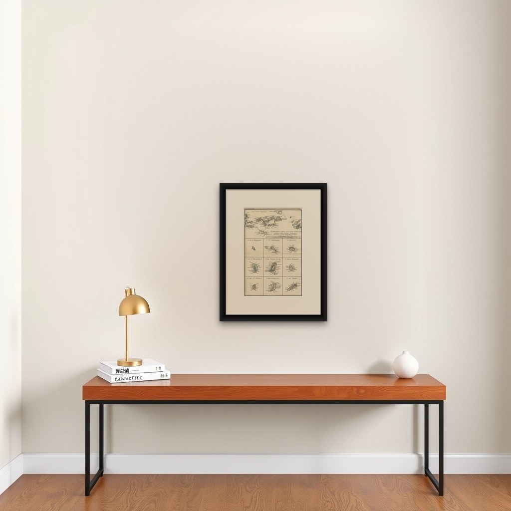
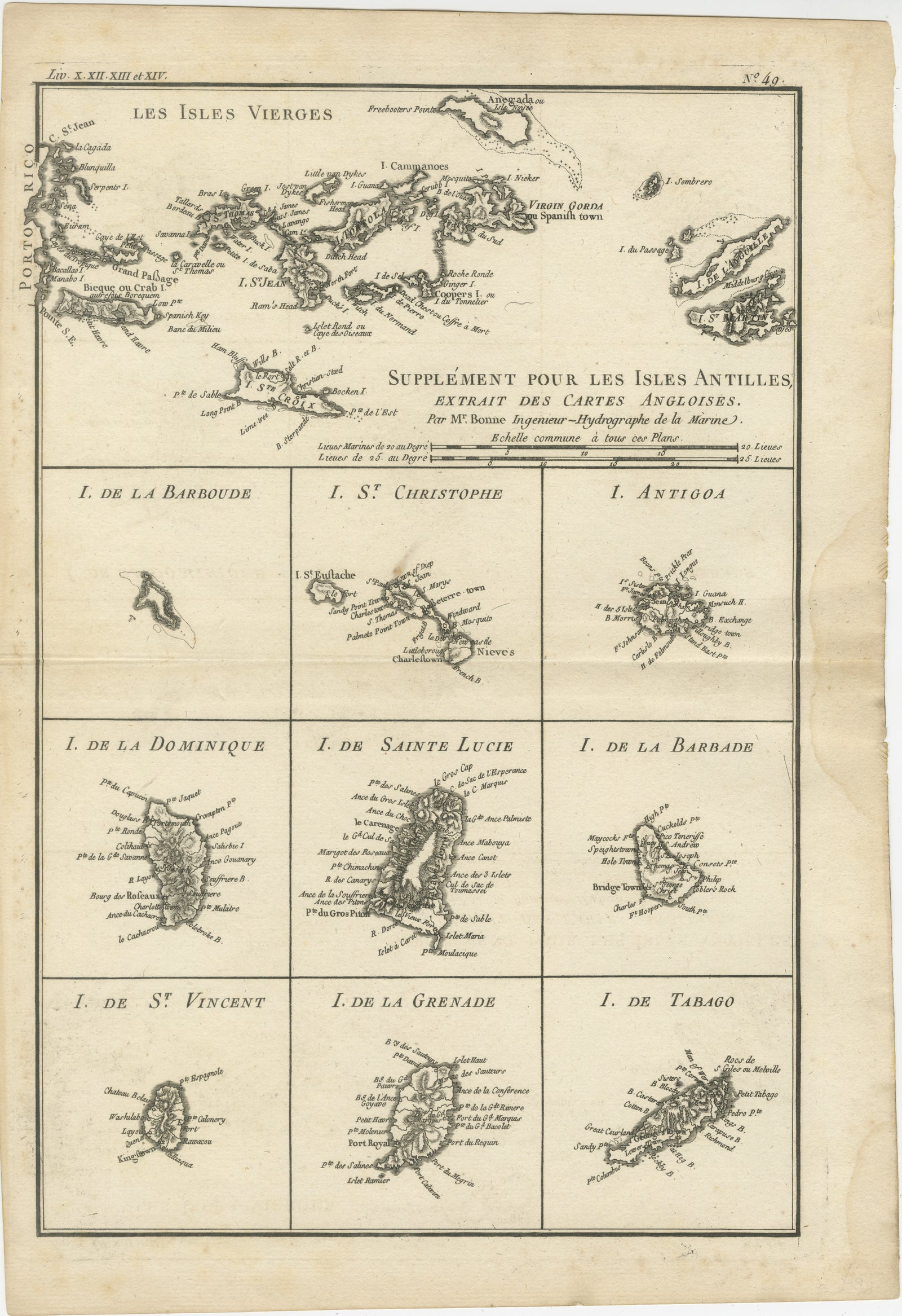
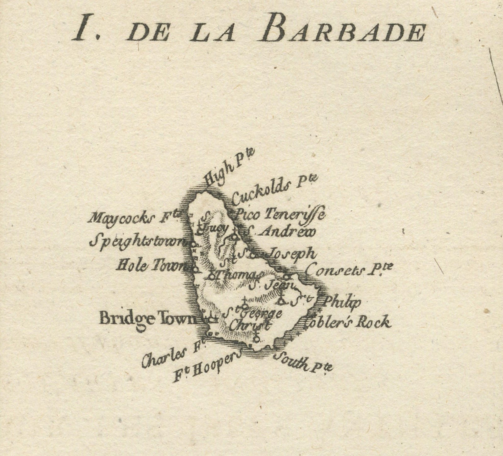
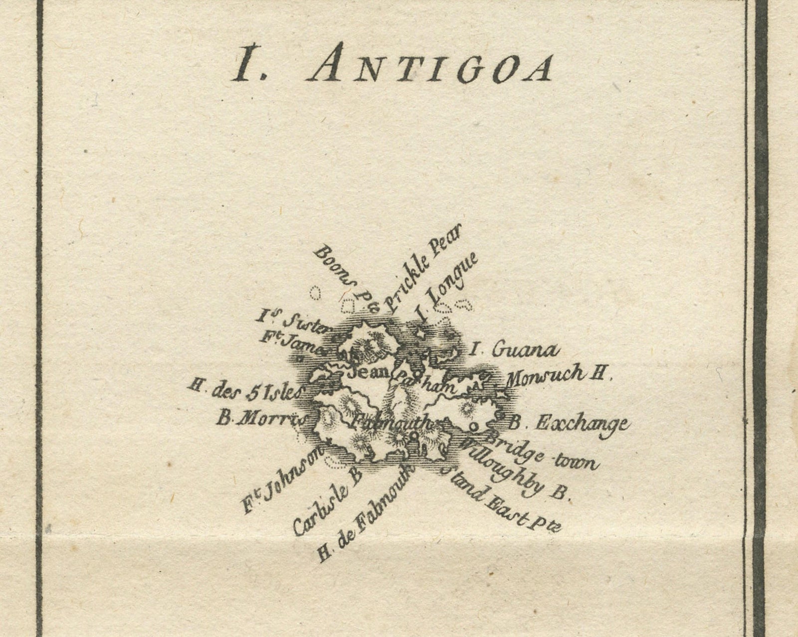
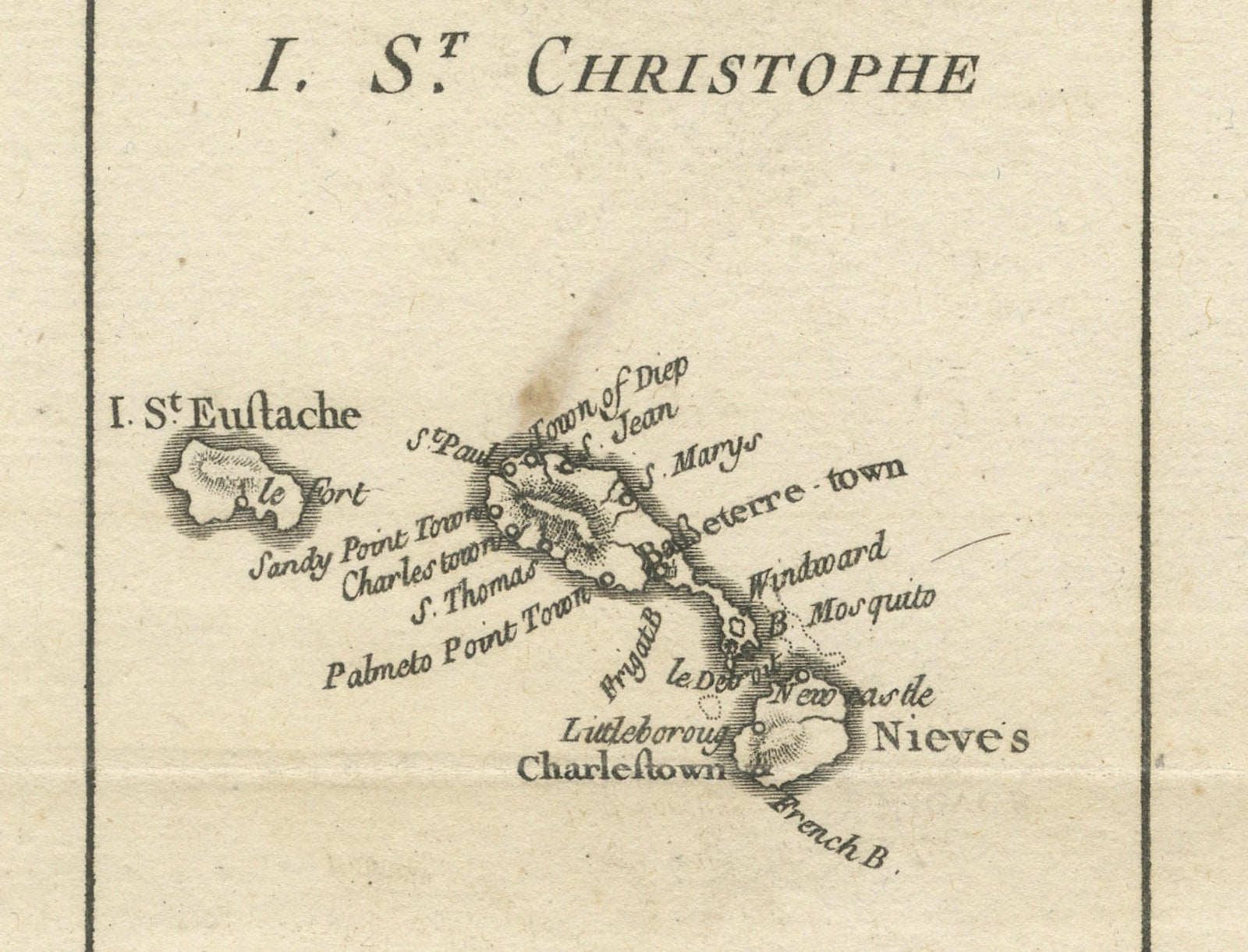
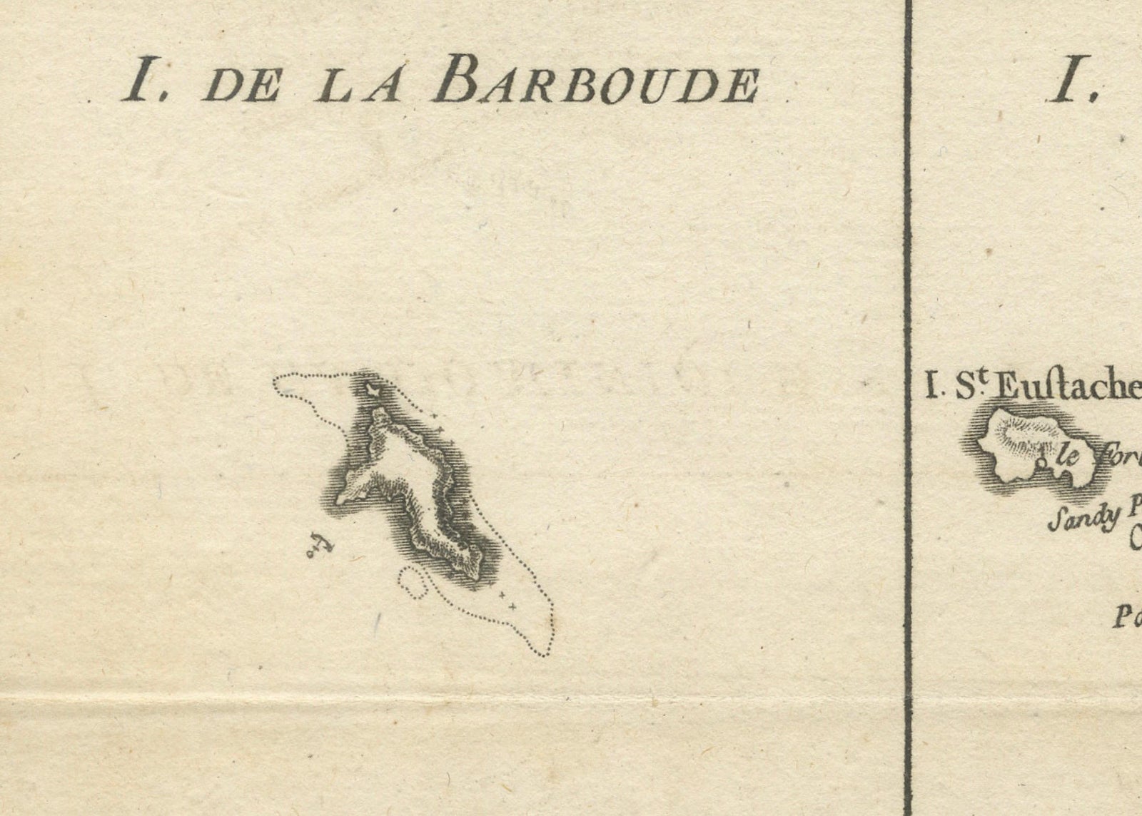
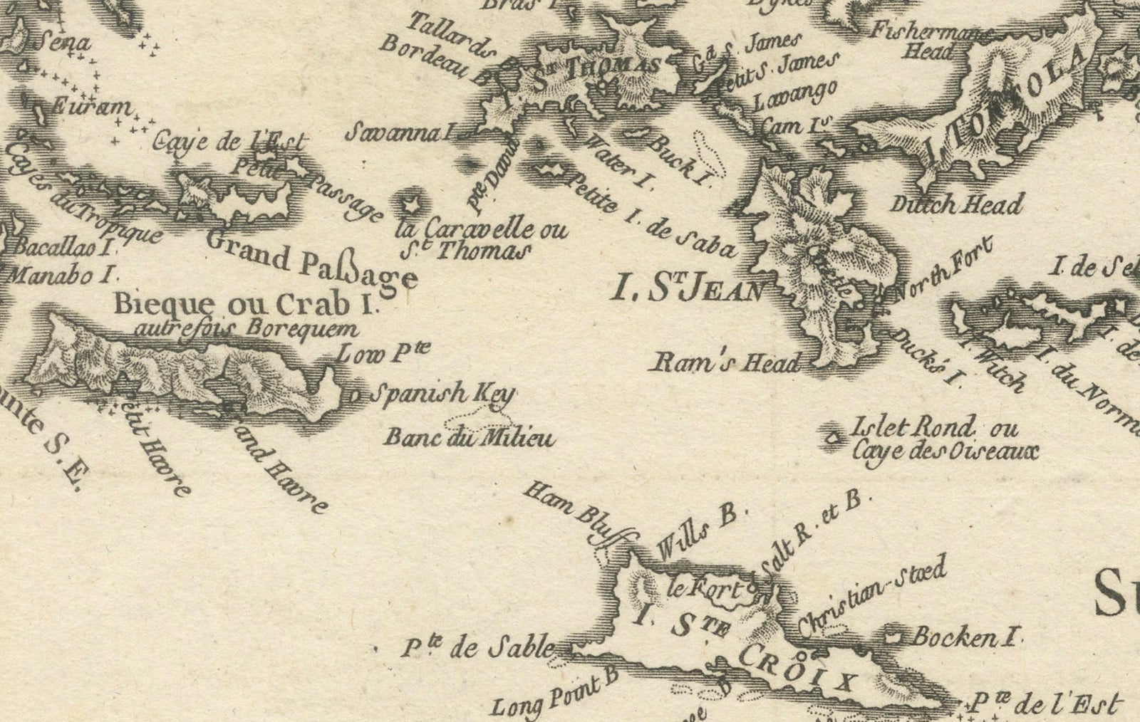
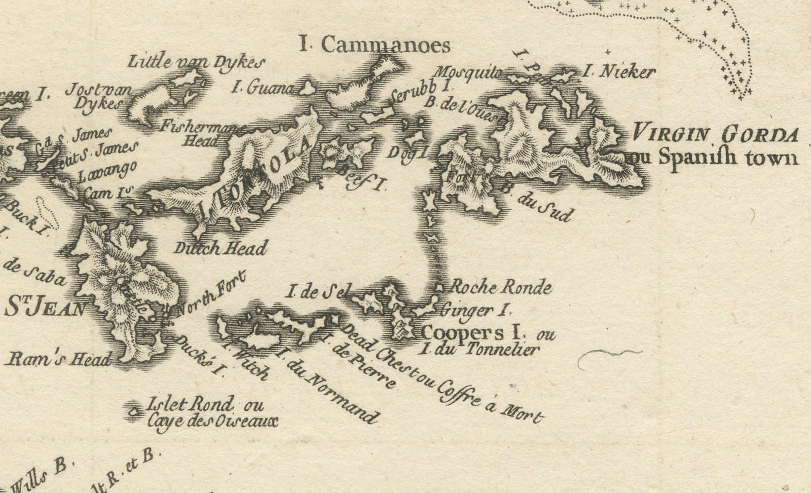
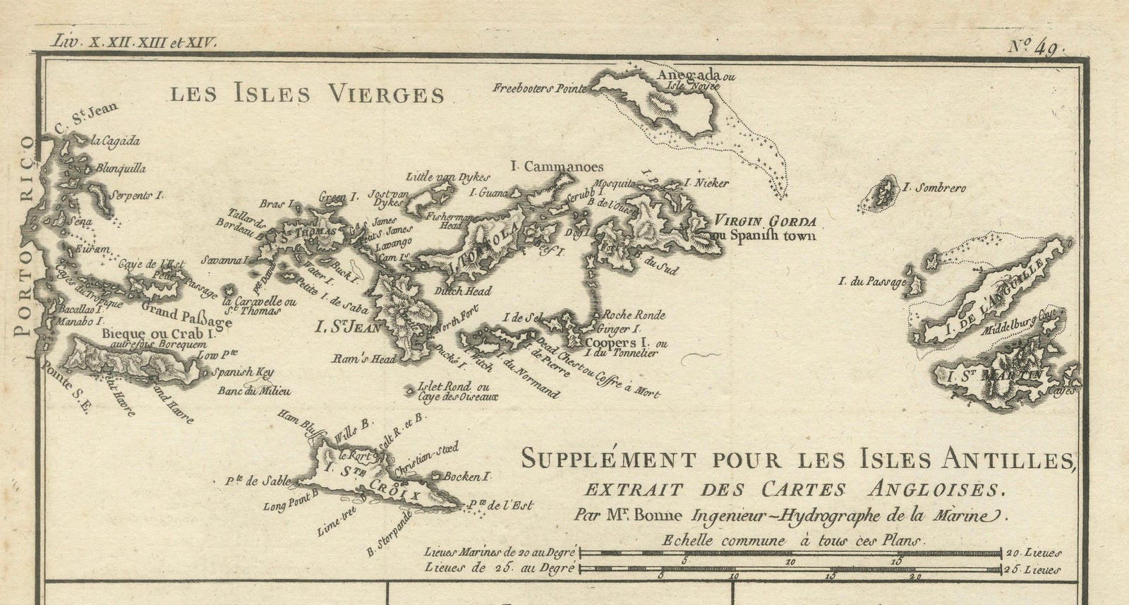
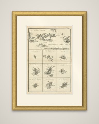
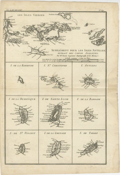
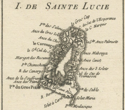
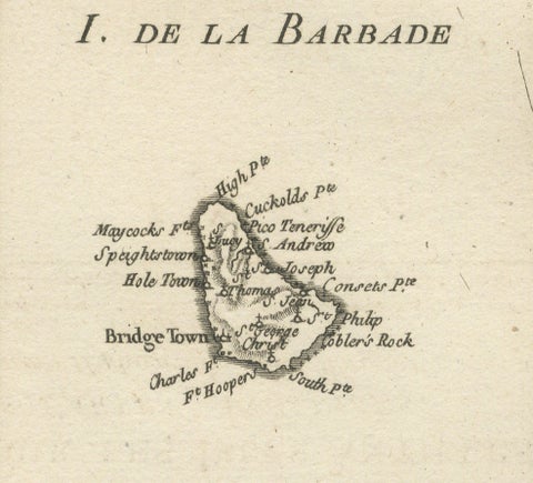
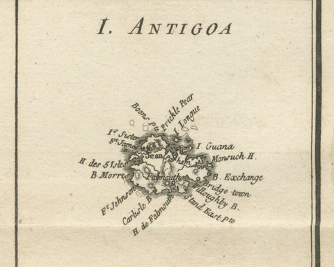
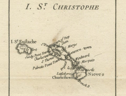
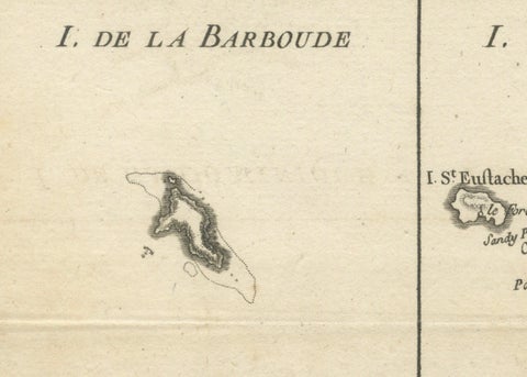
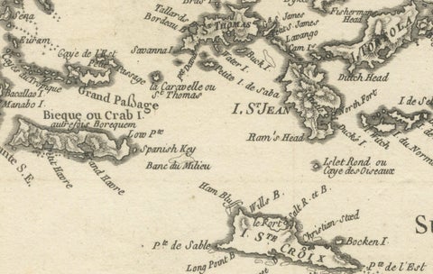
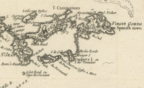
The Virgin Islands and nine Lesser Antilles on one sheet, an original copper engraving by Rigobert Bonne, Ingénieur-Hydrographe de la Marine, from his Atlas Encyclopédique and dated c. 1780. The plate is titled "Supplément pour les Isles Antilles, extrait des cartes angloises."

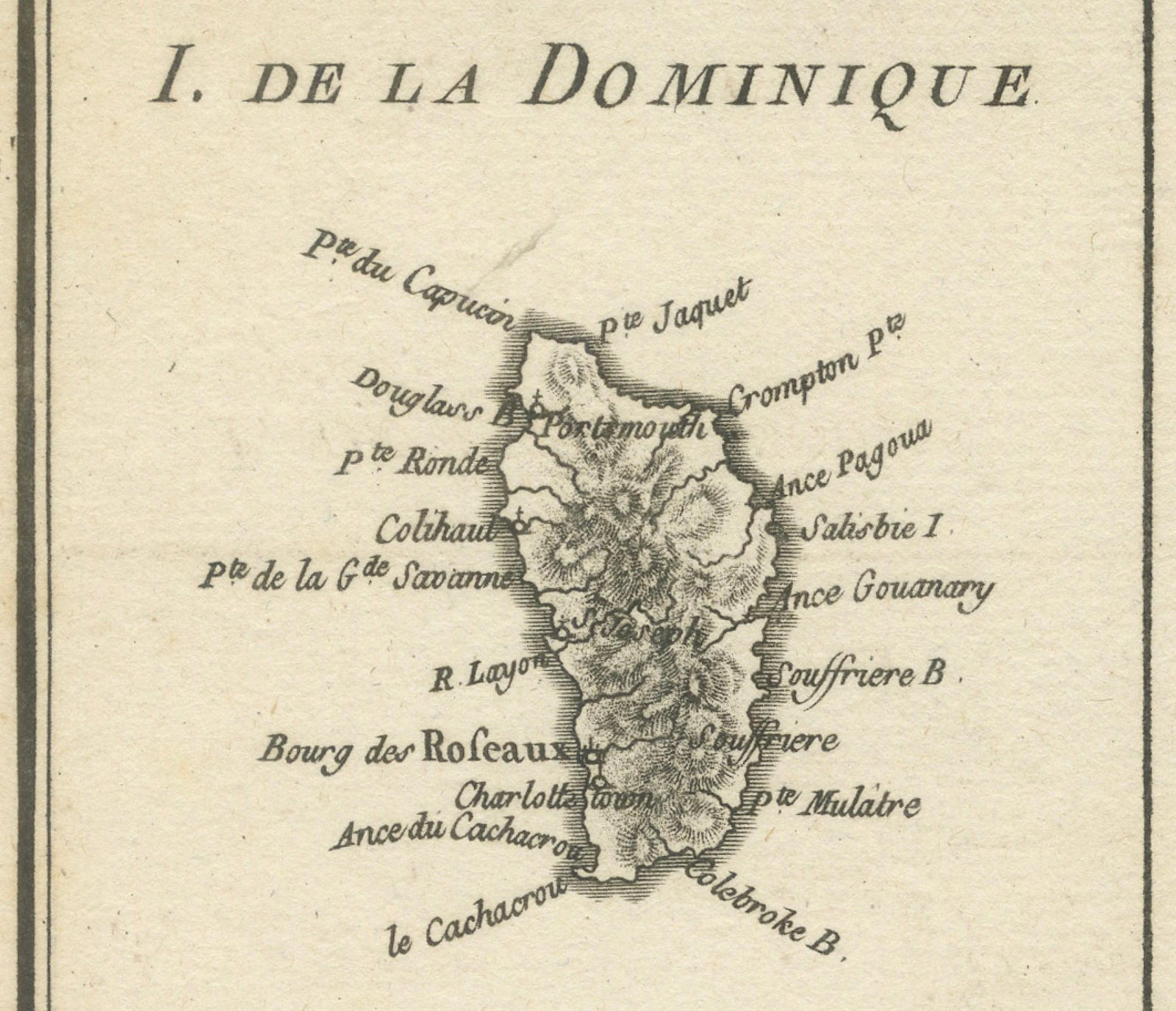
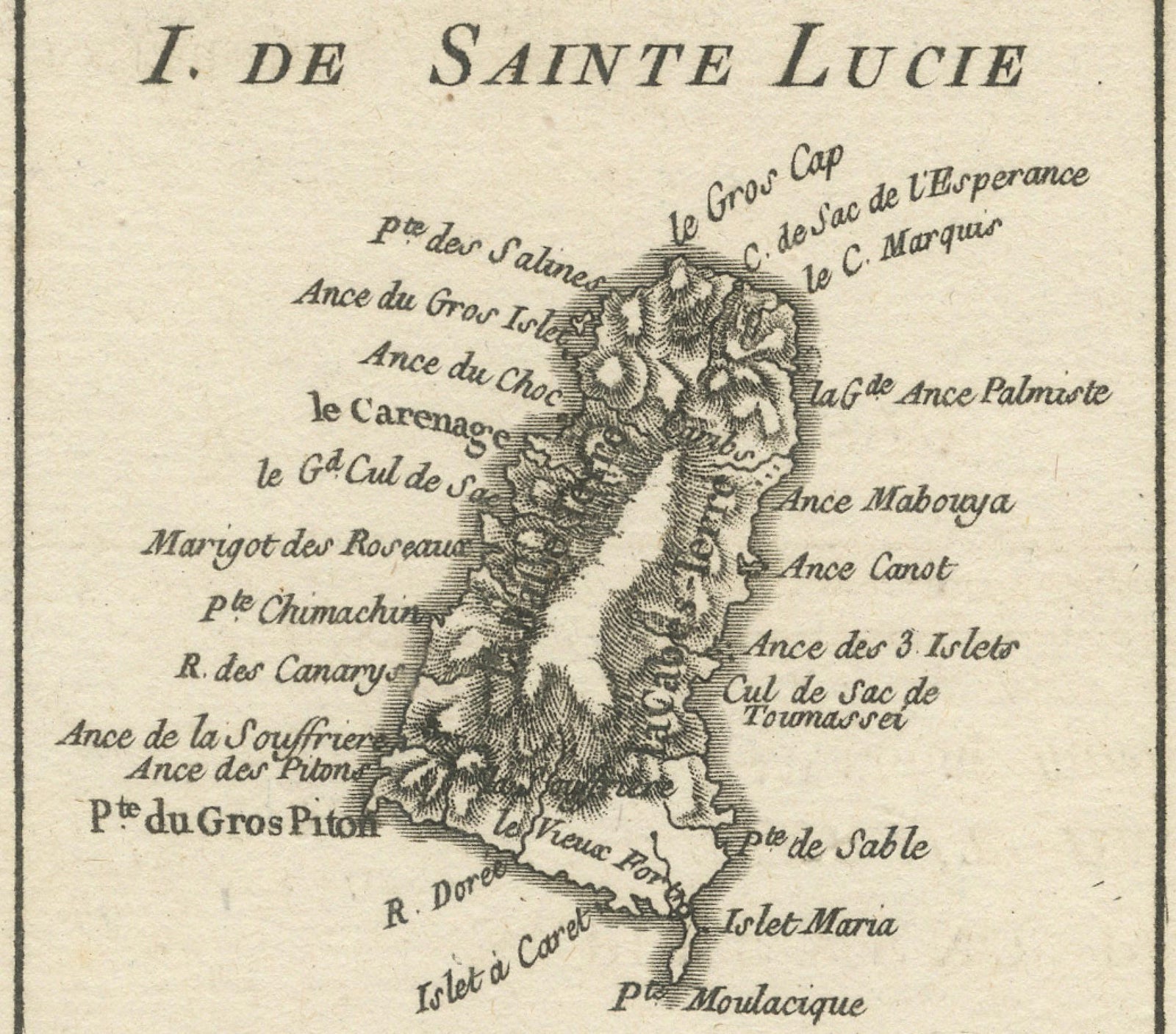
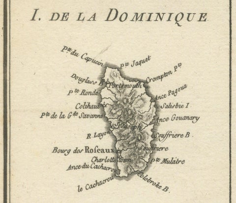
The upper third of the sheet is a chart of Les Isles Vierges, with Puerto Rico at the left edge, St. Thomas, St. John, Tortola, Virgin Gorda, Spanish Town and the smaller cays and passages between them drawn in fine hachuring and soundings. Below are nine small framed plans arranged in three rows: Barbuda ("I. de la Barboude"), St. Christopher ("I. St. Christophe") with Nevis, Antigua, Dominica ("I. de la Dominique"), St. Lucia ("I. de Sainte Lucie"), Barbados ("I. de la Barbade"), St. Vincent, Grenada ("I. de la Grenade") and Tobago ("I. de Tabago"). Each shows coastal names, bays, capes and anchorages. A scale in sea leagues and in common leagues is engraved beneath the title, and the plate number appears at the upper right.

Bonne's atlas sheets were made for maritime use, and this one gathers the smaller British and French islands of the Caribbean, with their harbors, in a single reference.

★

You might also like


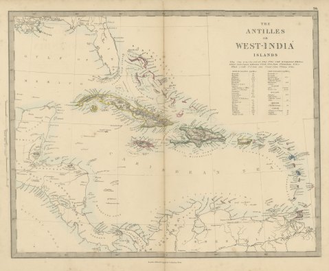
Antique Map of the Antilles or West India Islands with Island Areas, 1858
1858
$300
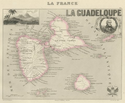
Antique Map of Guadeloupe, Marie-Galante and the Saintes, circa 1860
circa 1860
$360
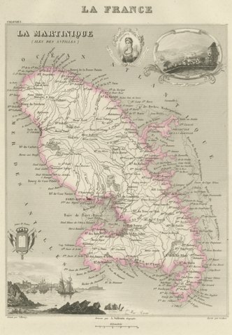
Antique Map of Martinique, Fort-Royal and the Caravelle, circa 1860
circa 1860
$360
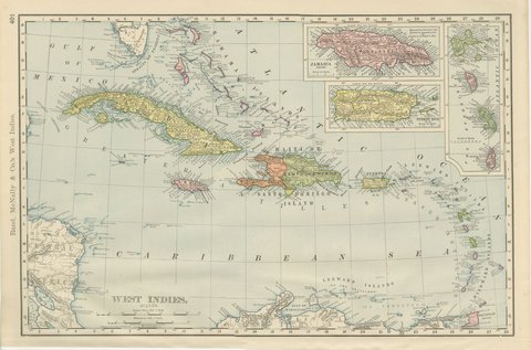
Antique Map of the West Indies, with Cuba, Jamaica and Puerto Rico, 1899
1899 · Rand McNally
$440
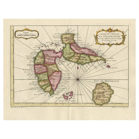
Antique Map of Guadelupe in the Caribbean, 1759
1759 · Jacques-Nicolas Bellin
$505
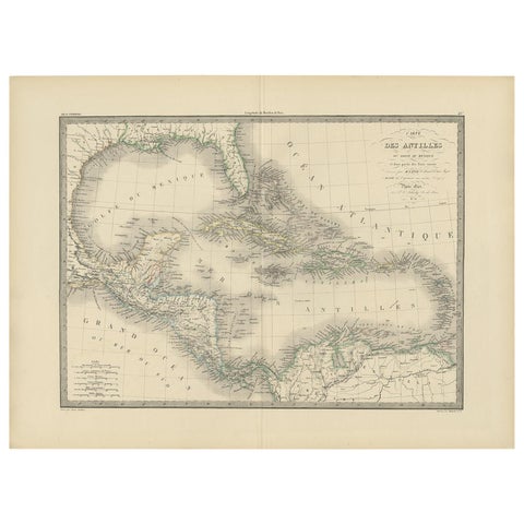
Antique Map of the Antilles by Pierre M. Lapie, Mid-19th Century
$380
Antique Map of the Antilles in the Caribbean, '1875'
1875
$560
Engraving of a Map of Florida, the Gulf Coast, Caribbean & Central America, 1728
1728 · Van Keulen
$15,335

Ask about this print

We reply by email, usually within one working day.

Your favorites

Saved in this browser. Email the list to yourself to keep it on any device.

We use your email to send this list and, only if you tick the box and confirm, for occasional new arrivals. Every email has an unsubscribe link. Bartele Gallery, the Netherlands.

Your bag

Total

Each piece is bought on its own; shipping is added at checkout.