1874 · Maps
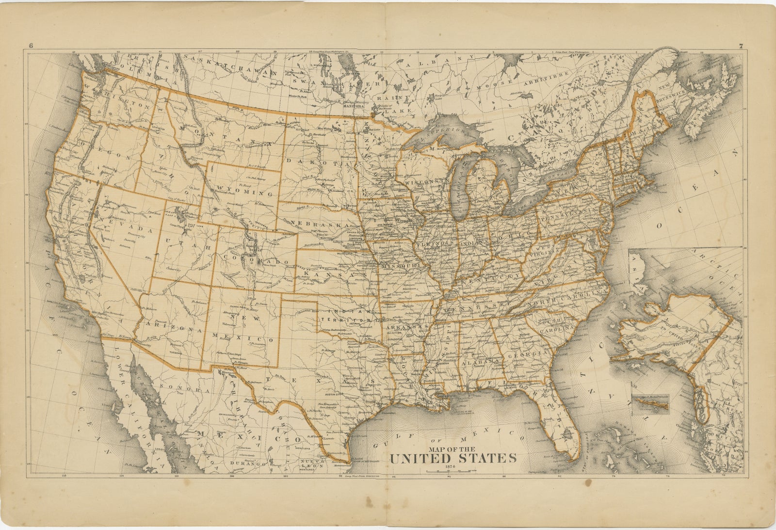
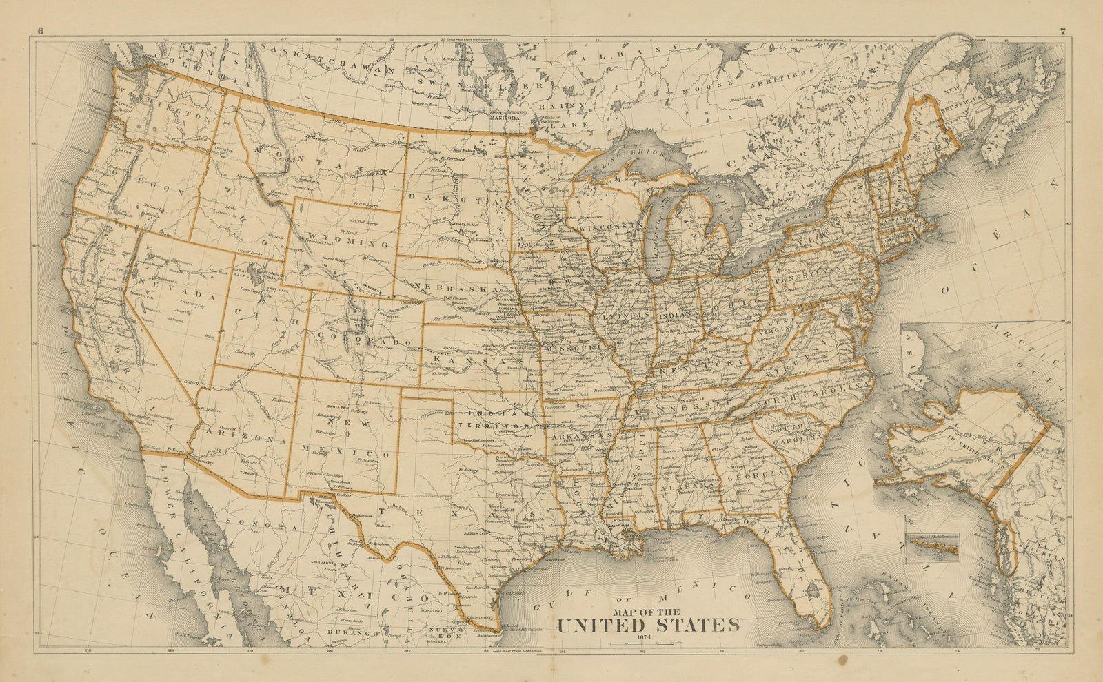
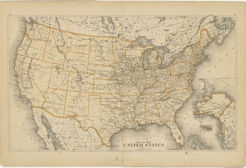
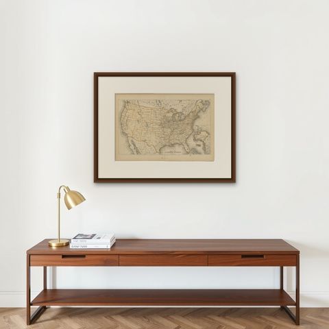
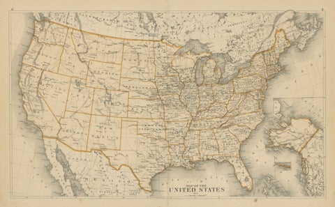
1874 Map of the United States with Territorial Boundaries
$290
€260 · dollar price at today's exchange rate
Buy now Ask a question
Shipping to the United States: $51 standard, $73 express, insured and tracked.
- Date
- 1874
- Kind
- Maps
- Size
- 40 × 59 cm (15.7 × 23.2 in)
- Period
- The Gilded Age
- Reference
- BG-13952-6
What the condition grades mean
- Excellent
- Bright and clean, with no faults worth mentioning.
- Very good
- Only light signs of age, such as faint toning.
- Good
- Normal signs of age for a sheet of this period: toning, some foxing, small marks or neat old repairs.
- Fair
- Clear faults such as staining, tears or repairs, priced to match.
Every fault we see is written in the condition note, and the whole sheet is shown uncropped in the photos.
Guaranteed original. This is an original of the period stated, not a later reproduction or print-on-demand copy. If it is ever shown to be otherwise, we refund you in full.
Shipping to the United States. Sent from our gallery in Langweer, the Netherlands, flat between boards or rolled in a tube, and fully insured.
Delivery and import charges.
About this piece
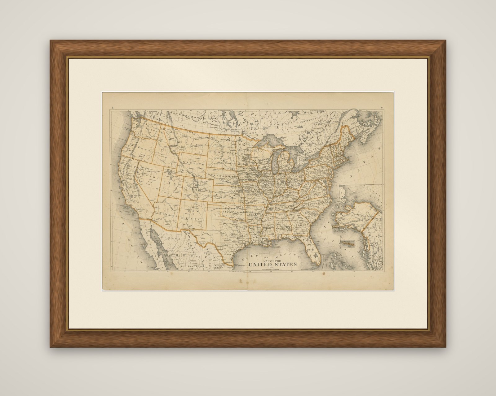
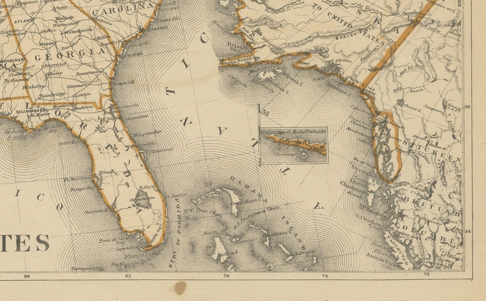
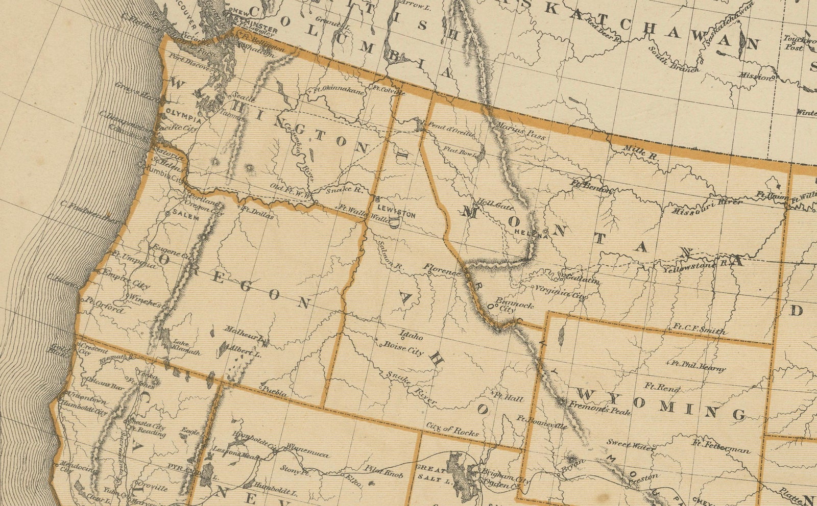
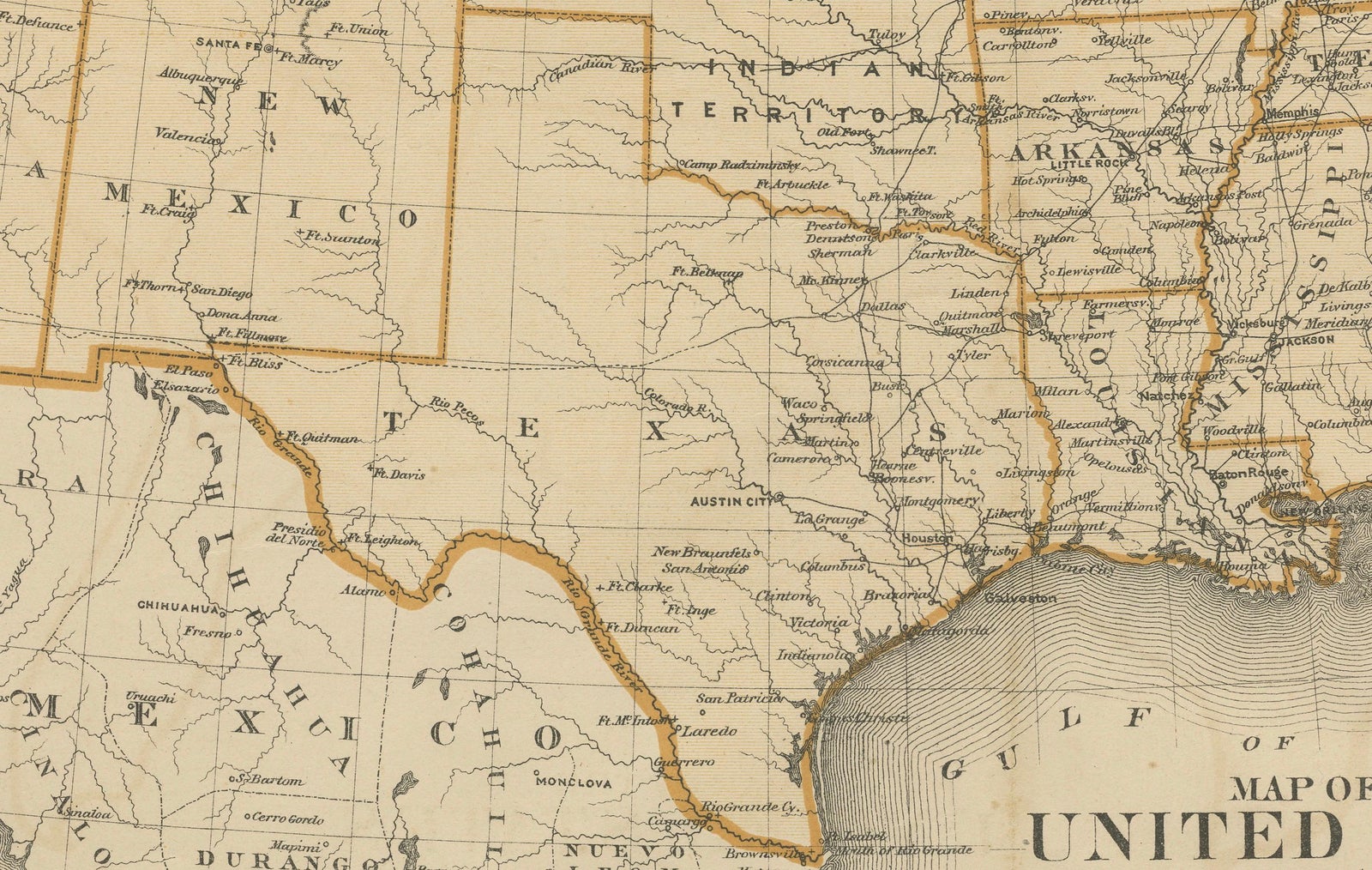
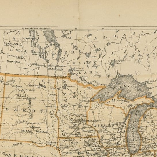
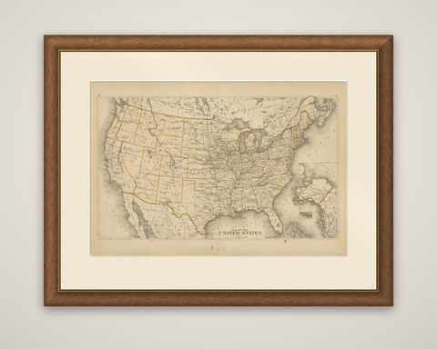
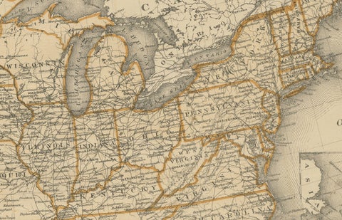
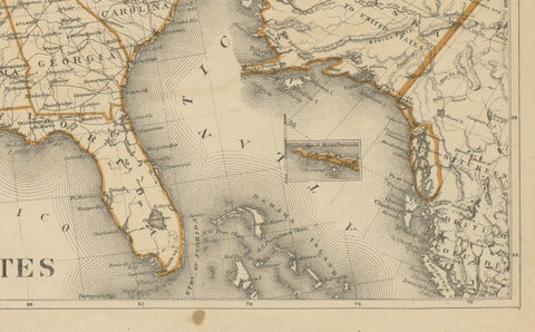
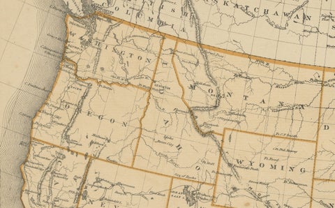
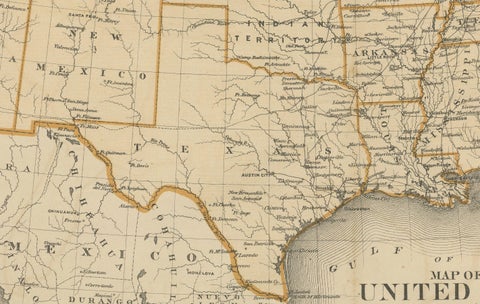
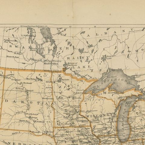
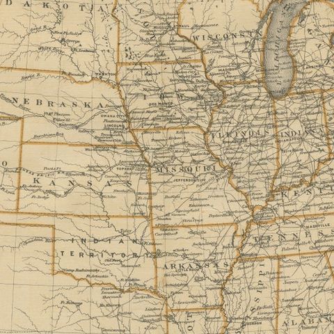
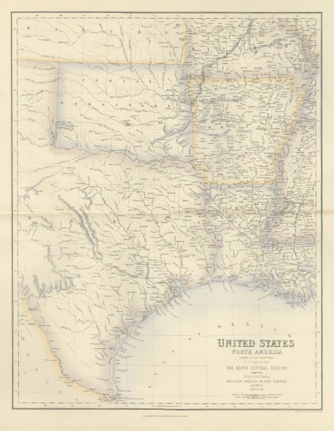
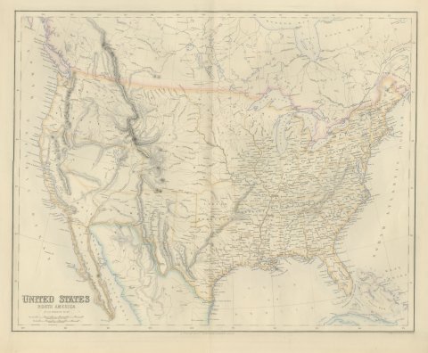
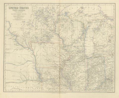
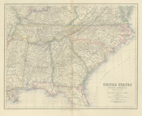
Map of the United States, an original lithographed atlas map dated 1874, with the state and territorial boundaries outlined in orange. The title "Map of the United States" and the date appear at the bottom center of the sheet, and the page numbers 6 and 7 are printed in the upper corners of the spread.
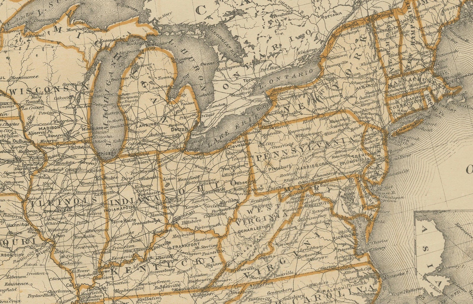
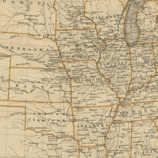
The map covers the country from the Pacific to the Atlantic, with the Gulf of Mexico at the foot and the Great Lakes at the top. The western territories are shown in the form they had before statehood, with Dakota, Wyoming, Idaho, Utah, Arizona and New Mexico drawn as large regions, and Indian Territory lying north of Texas. Nebraska, Colorado and Nevada are already states. Rivers and mountain ranges are engraved in fine hachures, and the settled East is dense with town names and railroad lines. An inset at the lower right shows Alaska, then a recent acquisition from Russia, on its own small scale.
The map shows the United States before the great wave of statehood in the 1880s and 1890s, when the Dakotas, Montana, Washington, Idaho, Wyoming, Utah, Oklahoma, New Mexico and Arizona entered the Union.