



A Bartele Gallery CollectionLangweer · Jakarta

American Maps & Prints
Original antique maps, charts & prints of the Americas ★ Originals only


Home › The United States
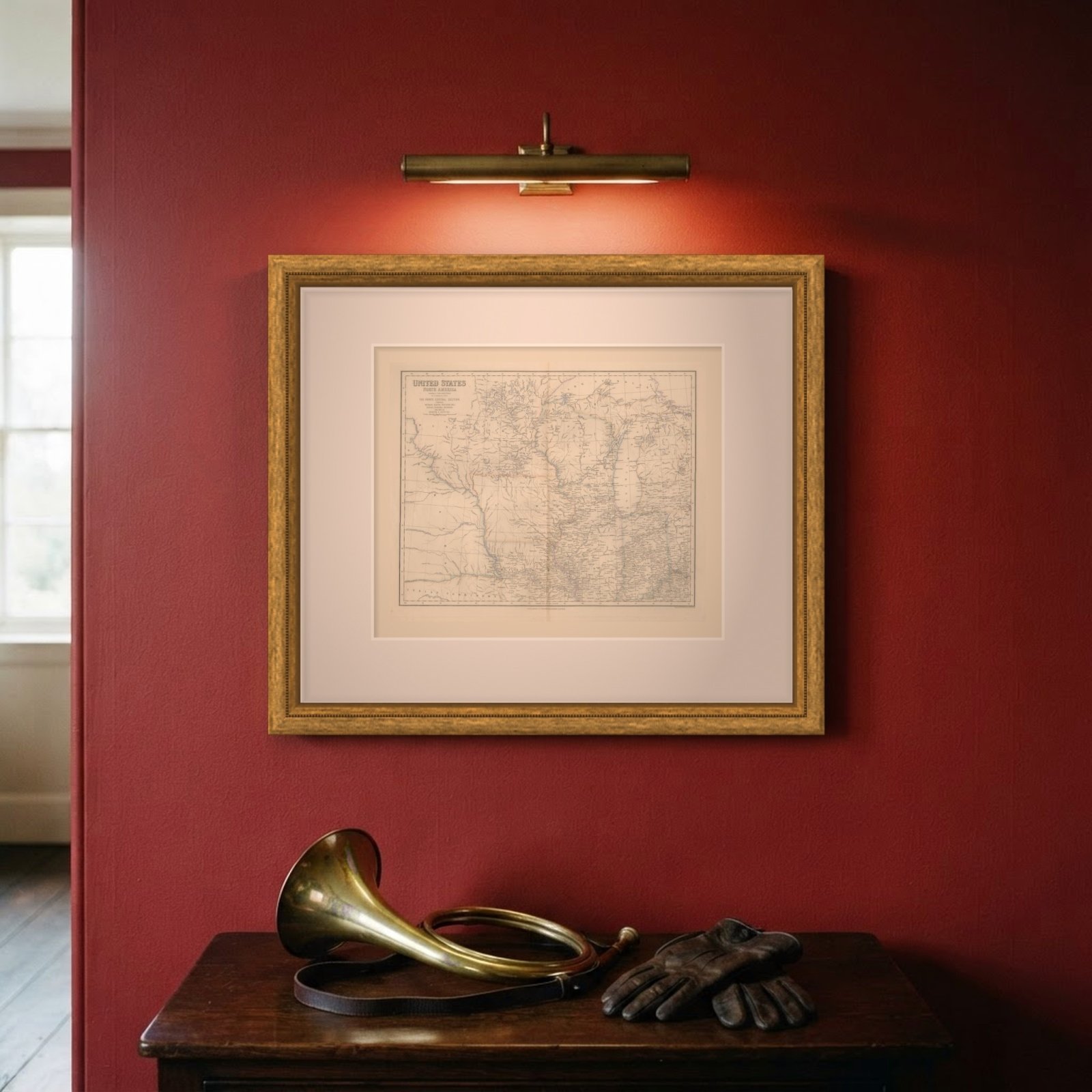
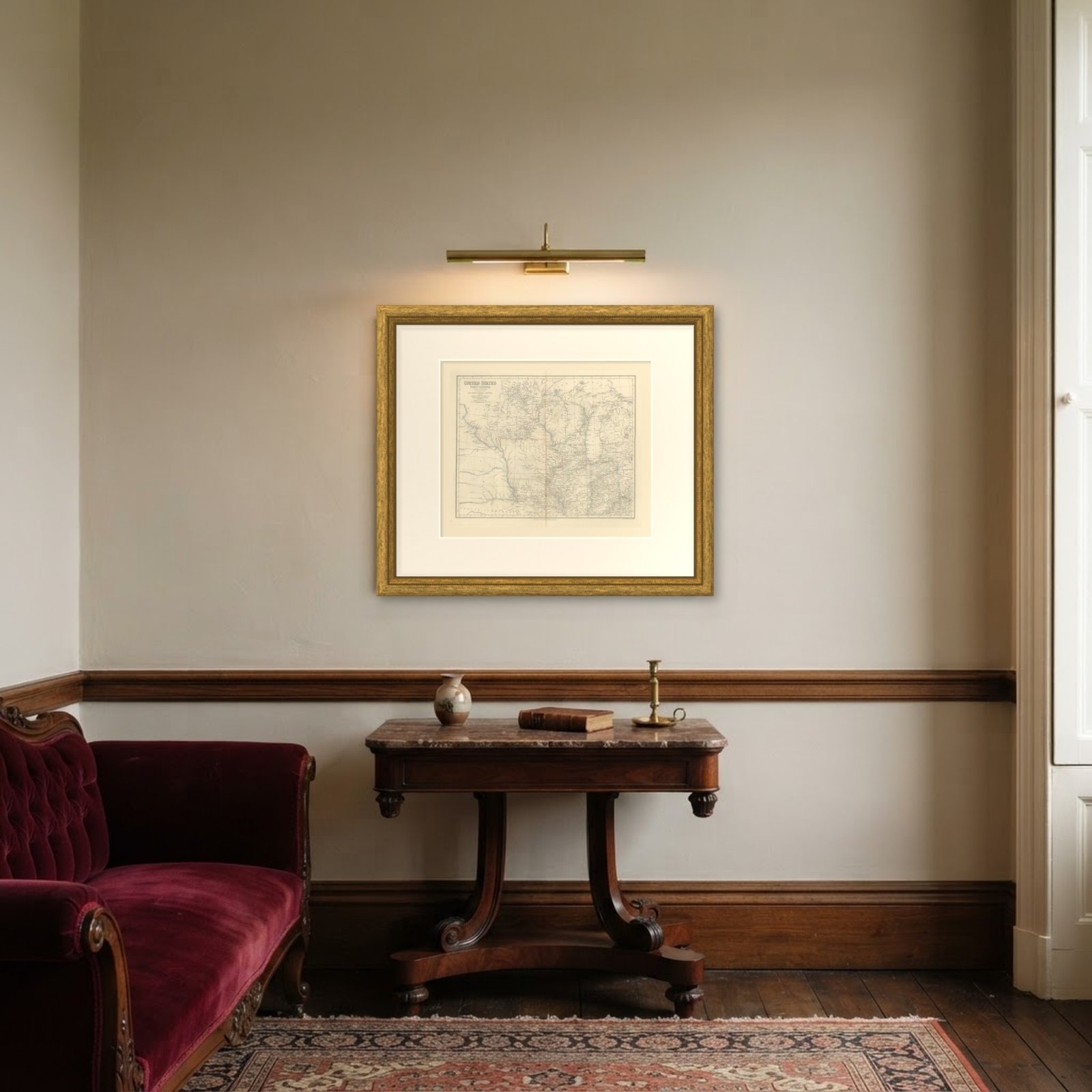
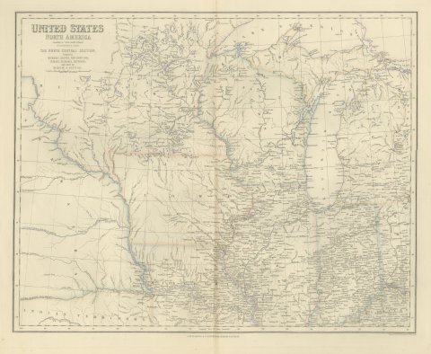
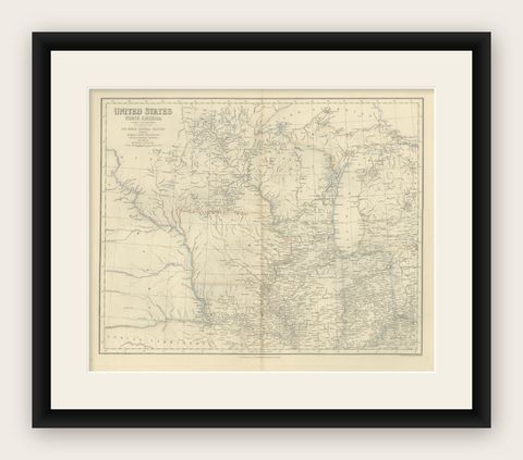
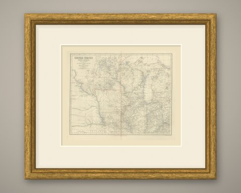
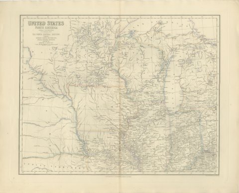
Antique Map of the North Central United States and Lake Michigan, circa 1860
circa 1860 · Maps

Antique Map of the North Central United States and Lake Michigan, circa 1860

$520
€465 · dollar price at today's exchange rate

Buy now Ask a question

Shipping to the United States: $51 standard, $73 express, insured and tracked.

Date
circa 1860
Maker
Engraved by G. H. Swanston
Kind
Maps
Technique
Engraving
Color
Hand colored
Size
48.5 × 60 cm (19.1 × 23.6 in)
Condition
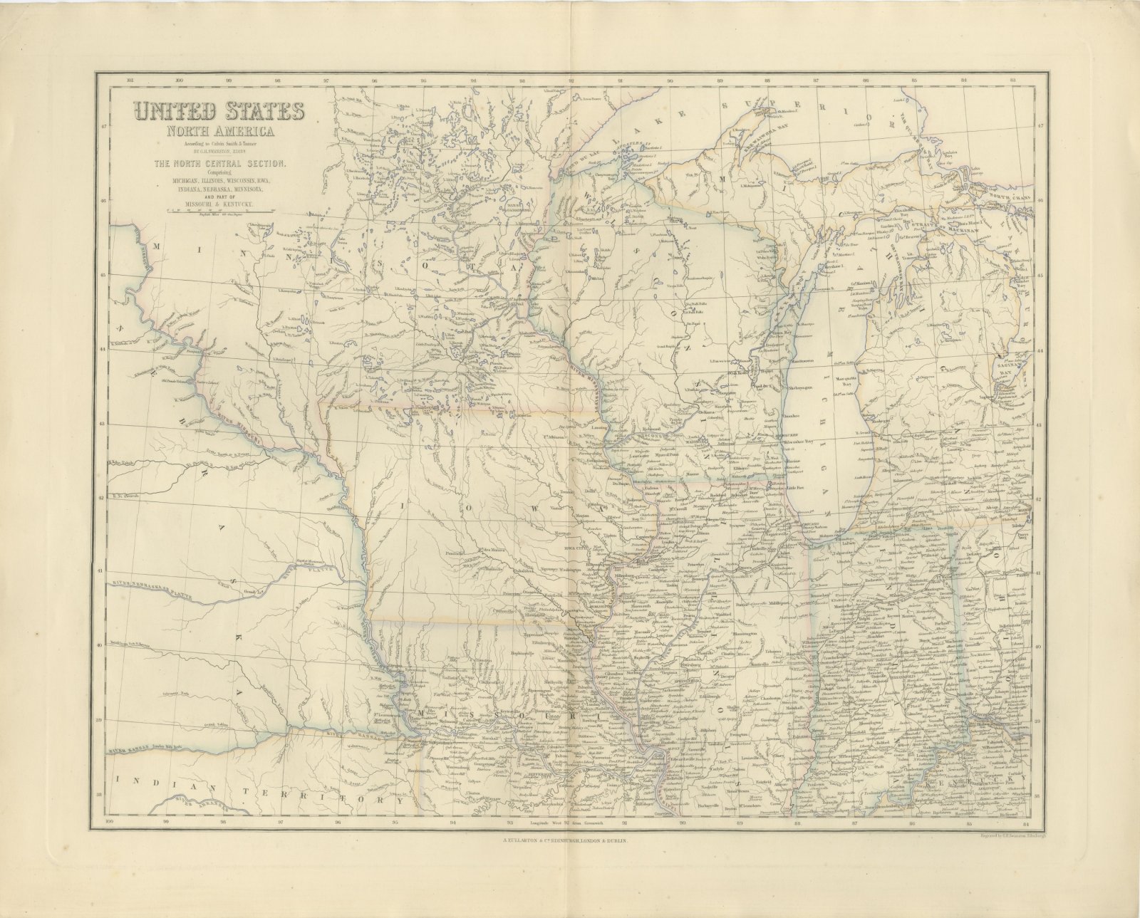
Good. Even age toning. Handling soiling along the left, right and top edges. Scattered light foxing in the margin. Complete sheet, all four corners present. Original center fold as issued.
Period
Westward Expansion & Civil War
Reference
BG-14396-7
What the condition grades mean
Excellent
Bright and clean, with no faults worth mentioning.
Very good
Only light signs of age, such as faint toning.
Good
Normal signs of age for a sheet of this period: toning, some foxing, small marks or neat old repairs.
Fair
Clear faults such as staining, tears or repairs, priced to match.

Every fault we see is written in the condition note, and the whole sheet is shown uncropped in the photos.

Guaranteed original. This is an original of the period stated, not a later reproduction or print-on-demand copy. If it is ever shown to be otherwise, we refund you in full.
Shipping to the United States. Sent from our gallery in Langweer, the Netherlands, flat between boards or rolled in a tube, and fully insured. Delivery and import charges.
About this piece

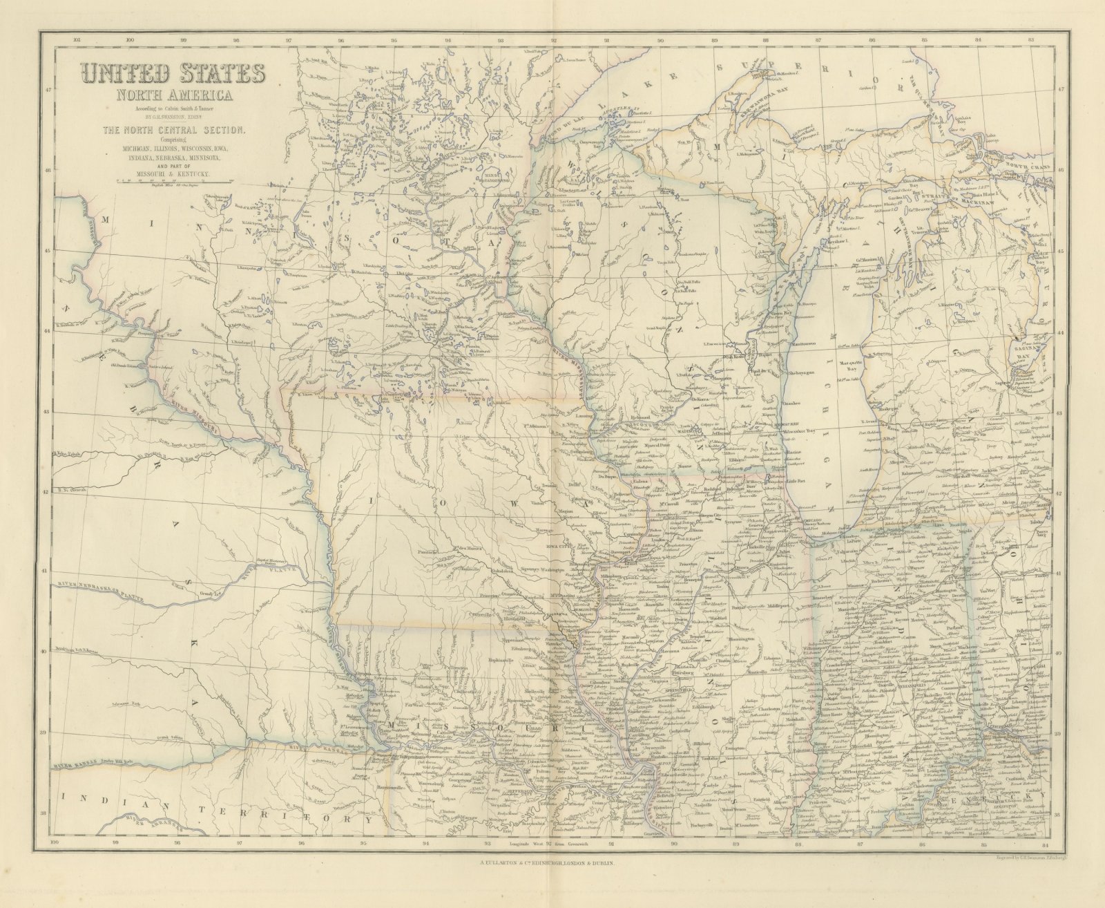
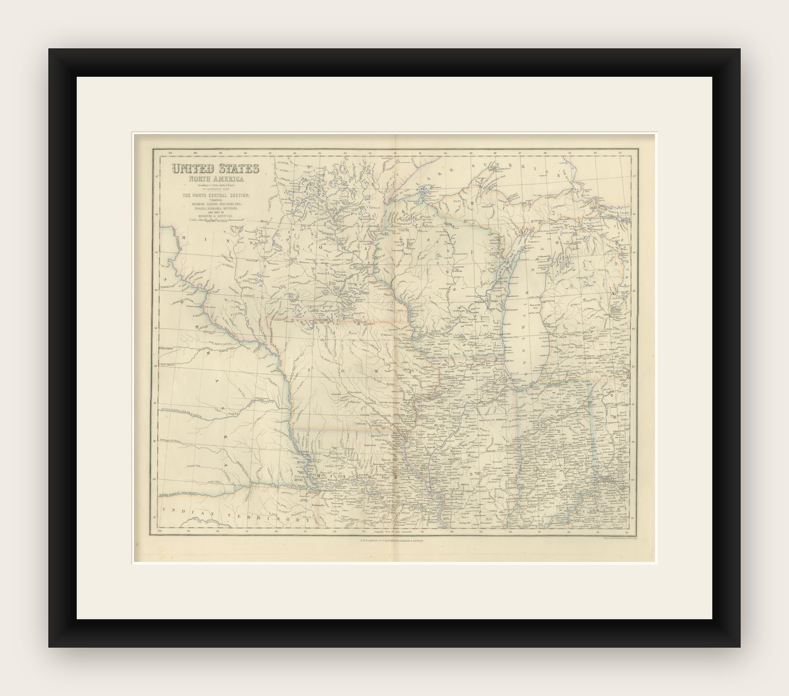
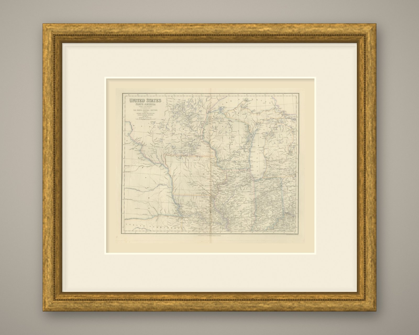
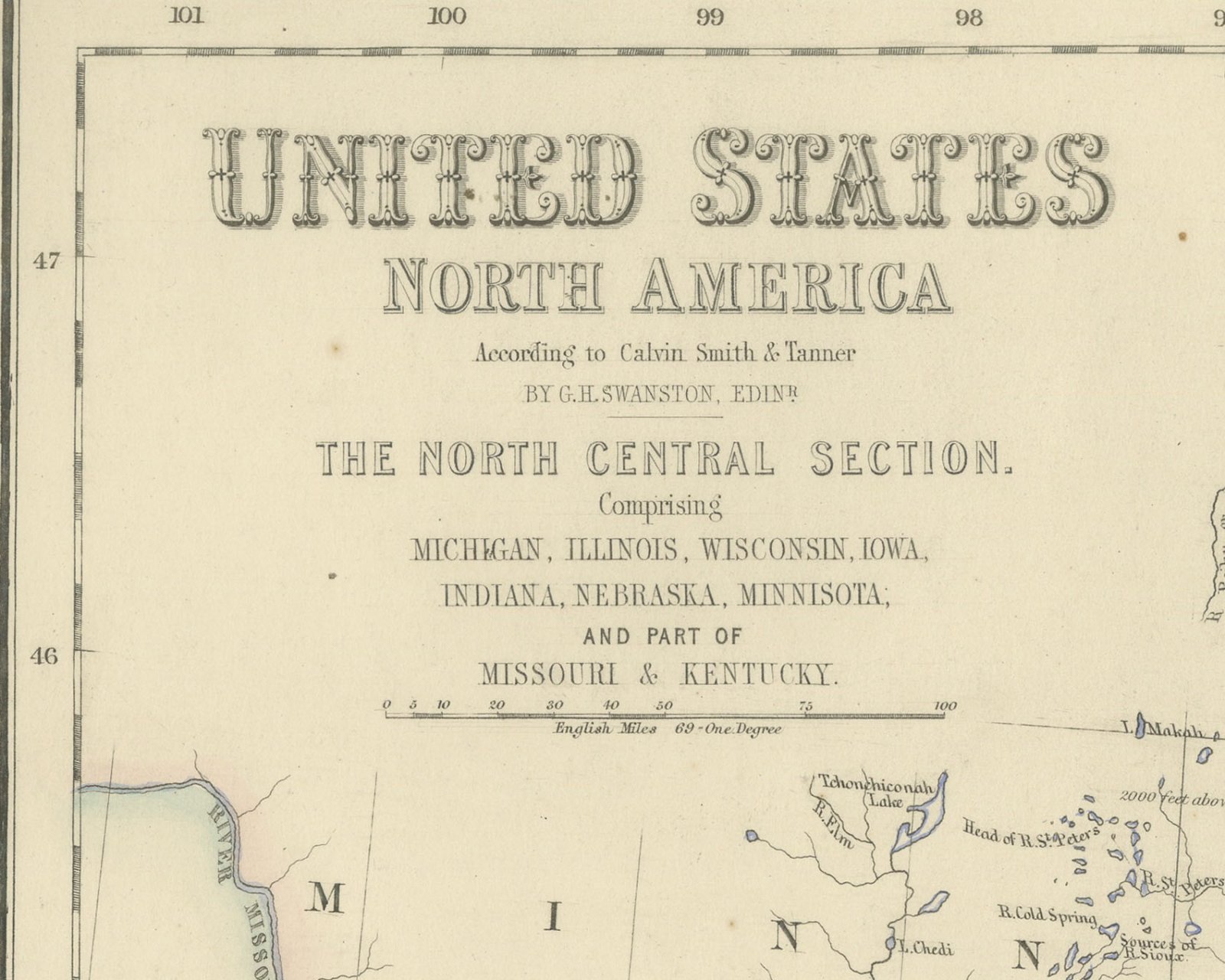
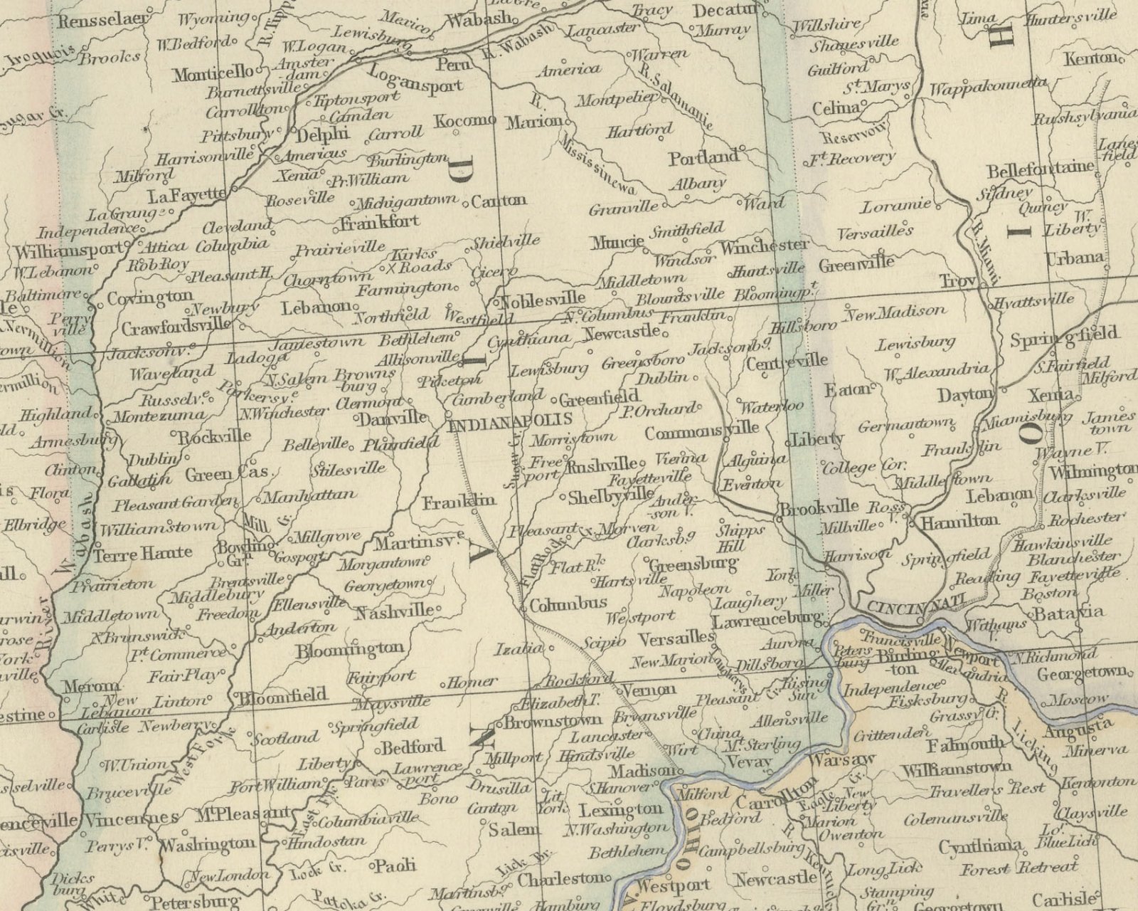
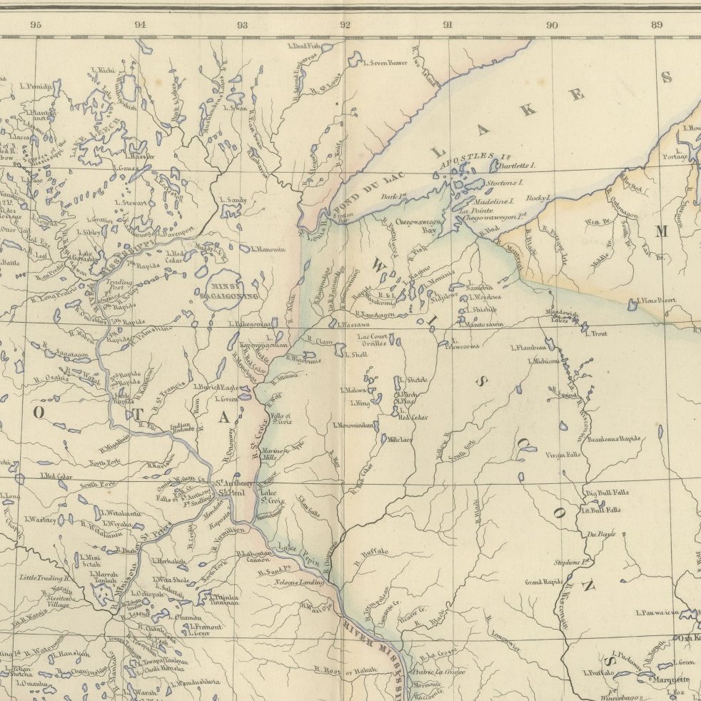
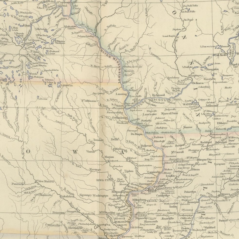
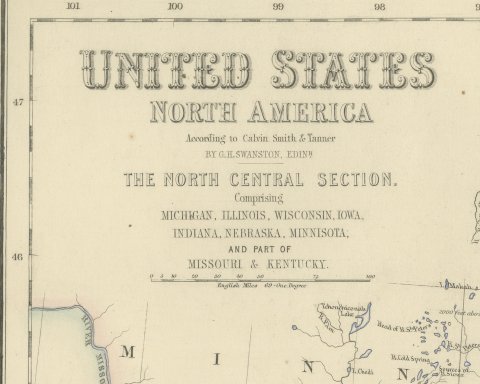
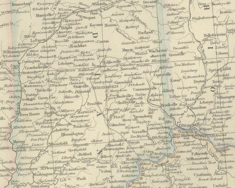
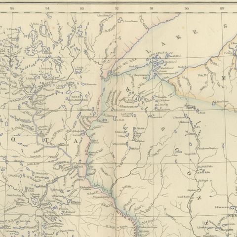
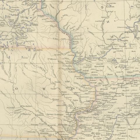
This is an original antique engraved map, colored by hand, from Fullarton's Companion Atlas to the Gazetteer of the World. Its engraved title reads "UNITED STATES NORTH AMERICA", with the section heading "THE NORTH CENTRAL SECTION. Comprising MICHIGAN, ILLINOIS, WISCONSIN, IOWA, INDIANA, NEBRASKA, MINNISOTA; AND PART OF MISSOURI & KENTUCKY." The sheet runs from 100 degrees west longitude at the Nebraska country east to about 83 degrees, taking in western Ohio as far as Toledo and Cincinnati, and from the Lake Superior shore south to Kentucky. State boundaries are outlined in color, and the eastern states are filled with towns, rivers and roads.

Lake Superior, Lake Michigan and Lake Huron are drawn with their bays and islands, including "STRAITS OF MACKINAW", "GRT. TRAVERSE BAY", "SAGINAW BAY" and "Milwaukee Bay". Lake Erie appears only at its western tip by Toledo and Monroe. Chicago, "MILWAUKEE", "SPRINGFIELD", "St. LOUIS" and "CINCINNATI" are among the places named. In the west the map is far emptier: "RIVER NEBRASKA OR PLATTE" and "RIVER MISSOURI" cross open country, and "INDIAN TERRITORY" is lettered south of the "RIVER KANSAS" along the lower left edge. A scale bar under the title reads "English Miles 69 = One Degree".

The title credits the American sources, "According to Calvin Smith & Tanner", and the compiler, "BY G.H. SWANSTON, EDINR." Below the bottom border at the lower right is the engraver's line "Engraved by G.H. Swanston, Edinburgh.", and the imprint in the center reads "A. FULLARTON & Co. EDINBURGH, LONDON & DUBLIN."

The Companion Atlas to the Gazetteer of the World was published by A. Fullarton and Co. of London, Edinburgh and Dublin and issued to subscribers in parts. The original printed wrapper of Part 7 survives with these maps; it bills forty-three maps, names G. H. Swanston as engraver and is marked "Colored Copy". The land lettered here as Indian Territory, south of the Kansas River, was organized as Kansas Territory in 1854.

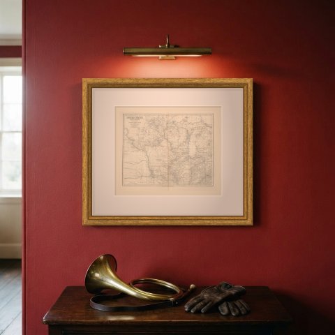
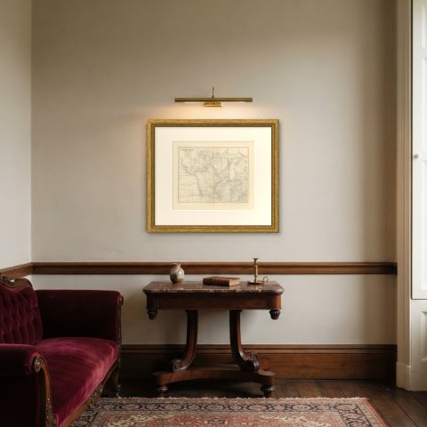
This is an original antique map, not a modern reproduction. This item is sold unframed.

★

You might also like


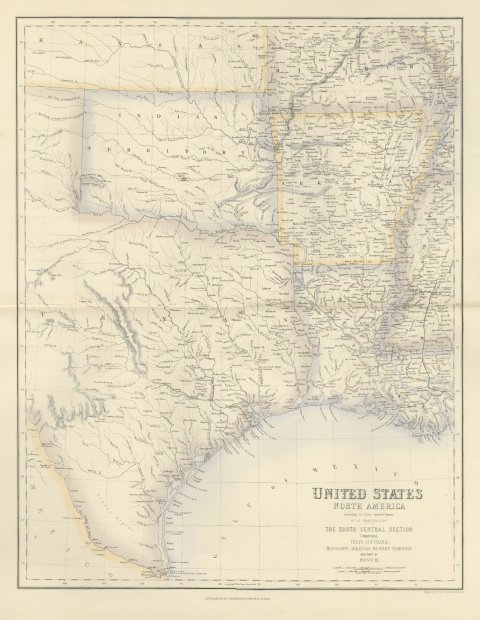
Antique Map of Texas and Louisiana with Indian Territory, circa 1860
circa 1860
$700
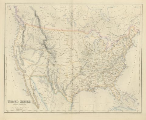
Antique Map of the United States with Oregon Territory, circa 1860
circa 1860
$545
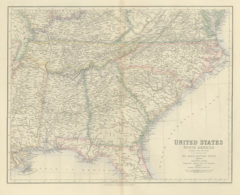
Antique Map of the South Eastern United States with Cape Hatteras, circa 1860
circa 1860
$520
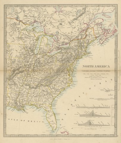
Antique Map of Canada and the United States with Canal Profiles, 1858
1858
$325
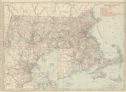
Antique Map of Massachusetts, The Bay State, Rand McNally, 1899
1899 · Rand McNally
$440
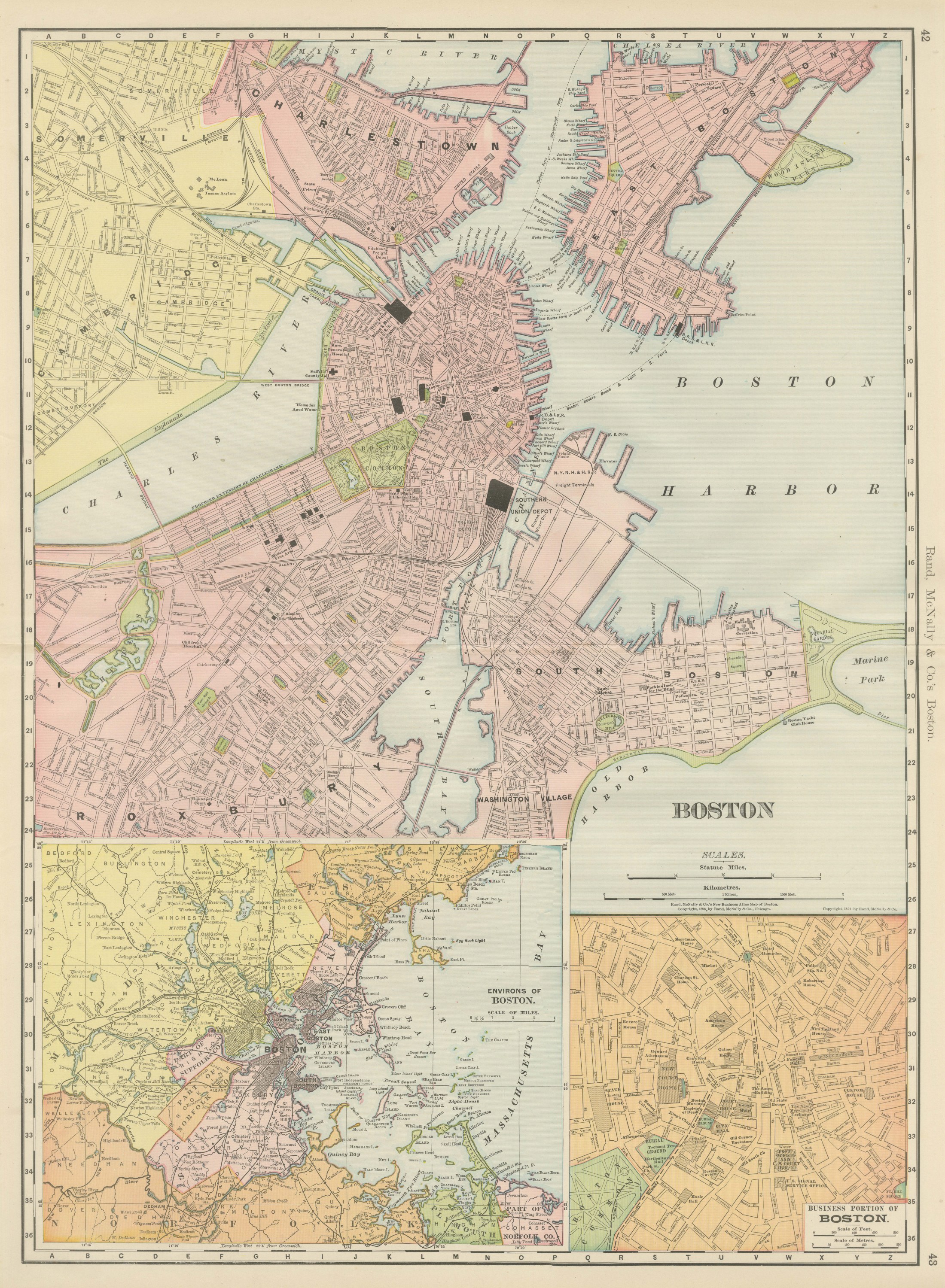
Antique Map of Boston, with Harbor and Environs Inset, Rand McNally, 1899
1899 · Rand McNally
$440
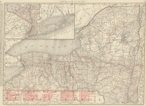
Antique Map of New York State, The Empire State, Rand McNally, 1899
1899 · Rand McNally
$500
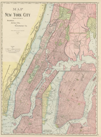
Antique Map of Manhattan, New York City, with Central Park, Rand McNally, 1899
1899 · Rand McNally
$555

Ask about this print

We reply by email, usually within one working day.

Your favorites

Saved in this browser. Email the list to yourself to keep it on any device.

We use your email to send this list and, only if you tick the box and confirm, for occasional new arrivals. Every email has an unsubscribe link. Bartele Gallery, the Netherlands.

Your bag

Total

Each piece is bought on its own; shipping is added at checkout.