

A Bartele Gallery CollectionLangweer · Jakarta

American Maps & Prints
Original antique maps, charts & prints of the Americas ★ Originals only


Home › The United States › Florida
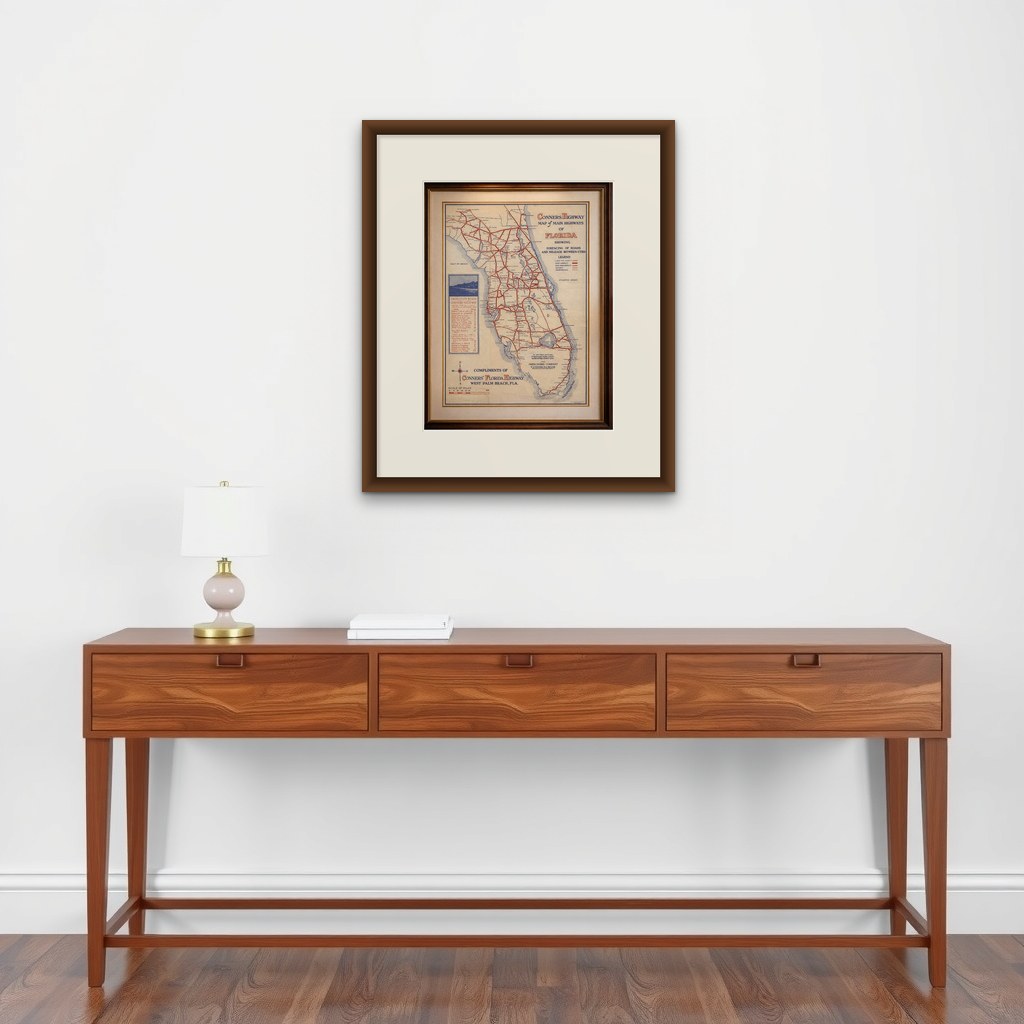
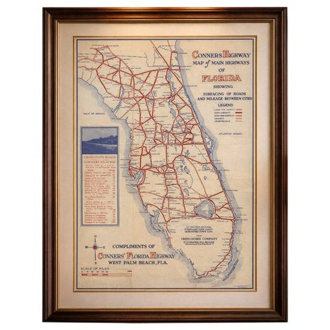
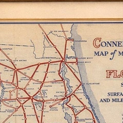
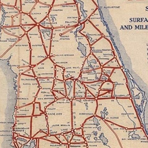
Antique Florida Highway Map – Conners Highway, Lake Okeechobee Roads, ca.1924
1924 · Maps

Antique Florida Highway Map – Conners Highway, Lake Okeechobee Roads, ca.1924

$370
€330 · dollar price at today's exchange rate

Buy now Ask a question

Shipping to the United States: $51 standard, $73 express, insured and tracked.

Date
1924
Kind
Maps
Size
42.7 × 27.4 cm (16.8 × 10.8 in)
Condition
Good. Self-folding example with expected light toning and wear from original use. Fold lines visible as issued. Overall condition good and visually appealing. A couple of tiny splits at the fold junctions.
Period
The Twentieth Century
Places
Florida
Reference
BG-14194
What the condition grades mean
Excellent
Bright and clean, with no faults worth mentioning.
Very good
Only light signs of age, such as faint toning.
Good
Normal signs of age for a sheet of this period: toning, some foxing, small marks or neat old repairs.
Fair
Clear faults such as staining, tears or repairs, priced to match.

Every fault we see is written in the condition note, and the whole sheet is shown uncropped in the photos.

Guaranteed original. This is an original of the period stated, not a later reproduction or print-on-demand copy. If it is ever shown to be otherwise, we refund you in full.
Shipping to the United States. Sent from our gallery in Langweer, the Netherlands, flat between boards or rolled in a tube, and fully insured. Delivery and import charges.
About this piece

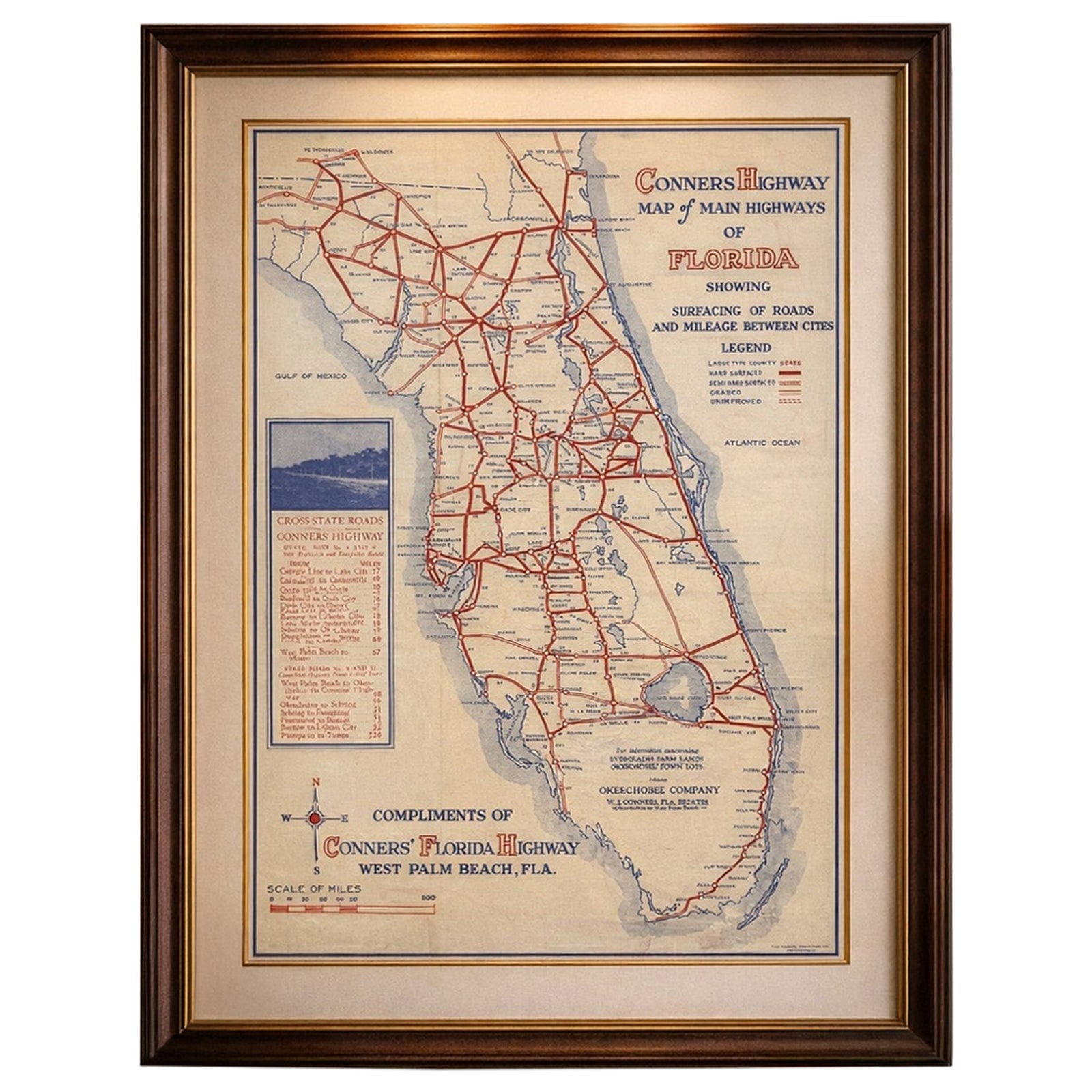
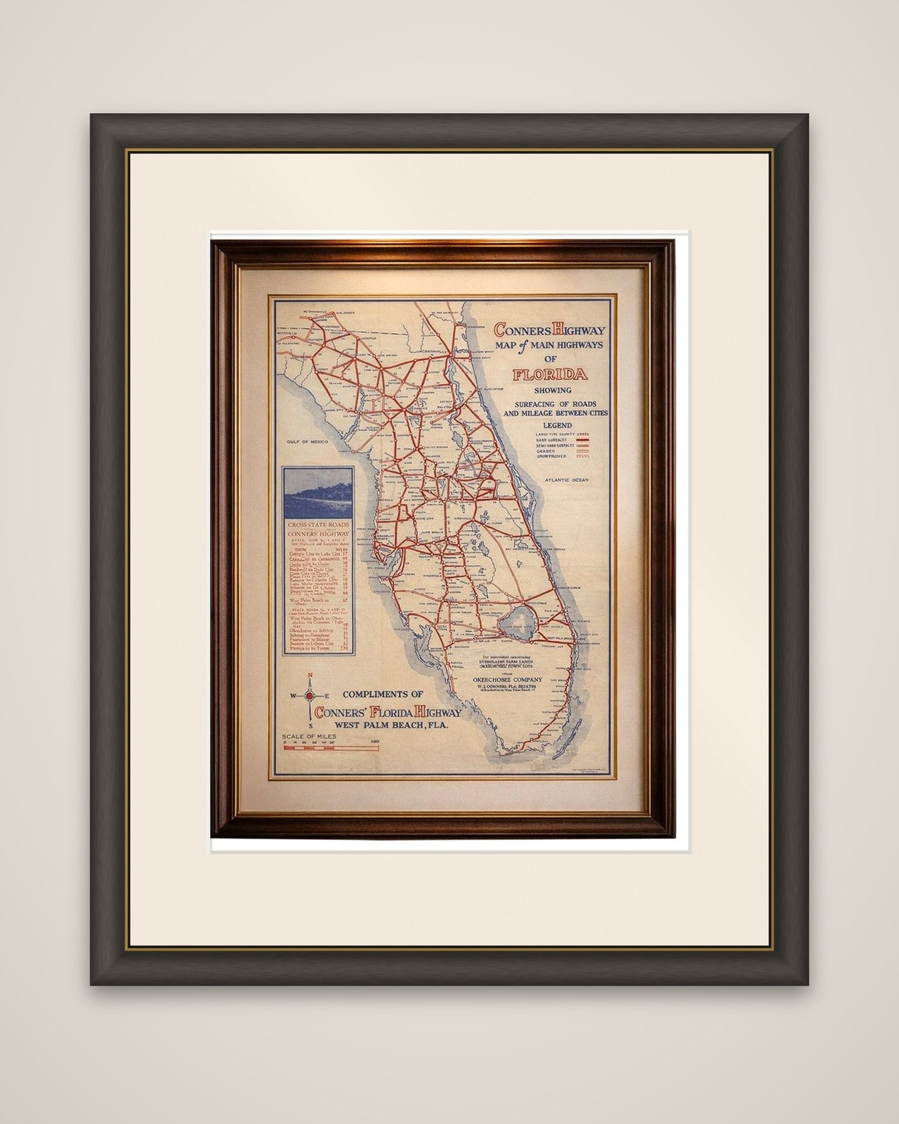
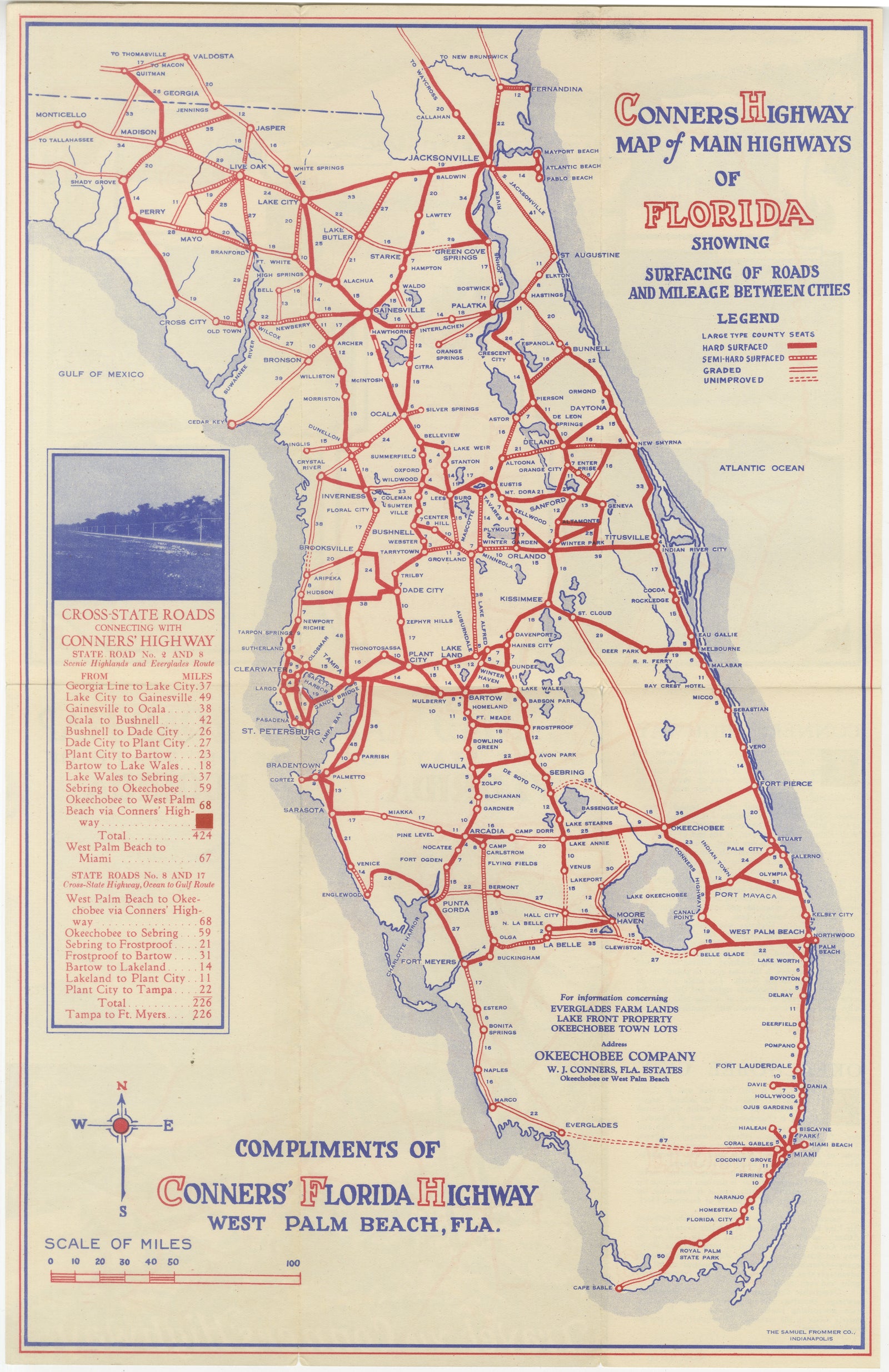
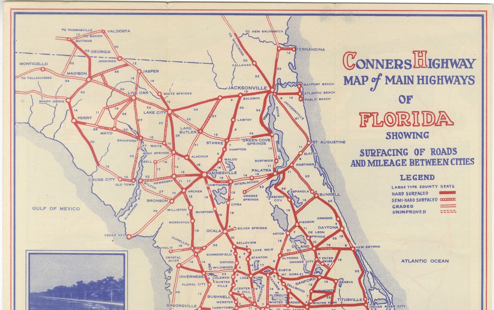
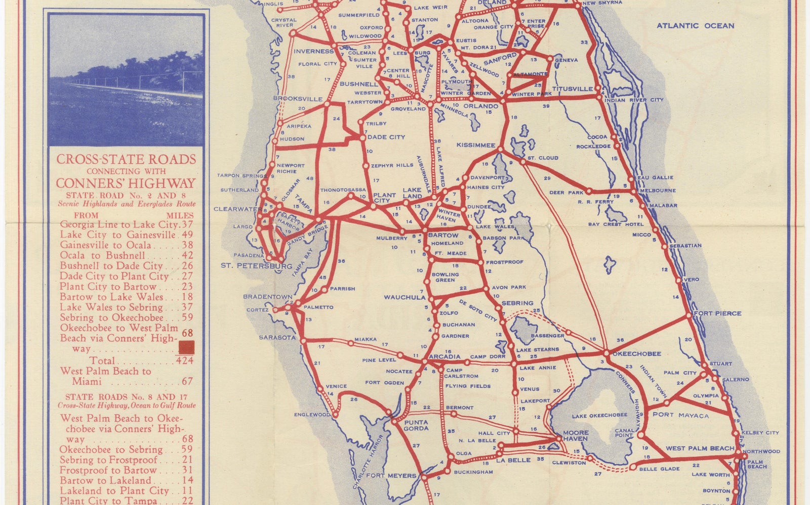
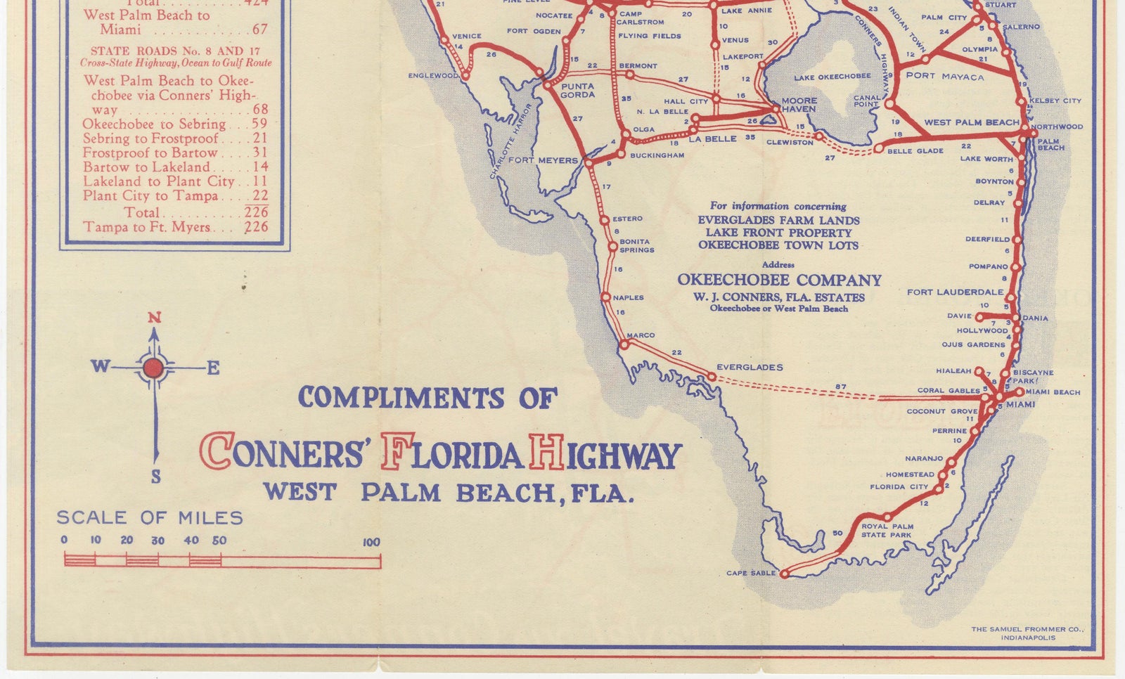
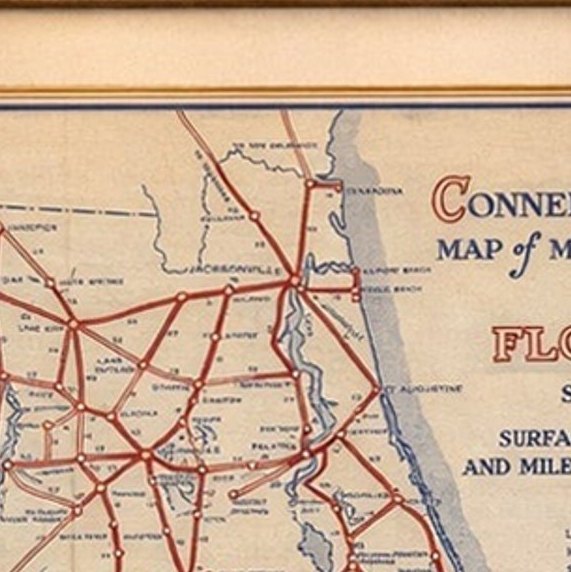
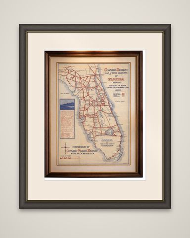
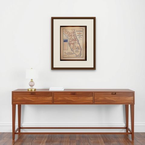
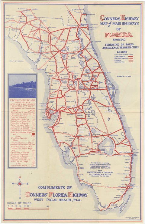
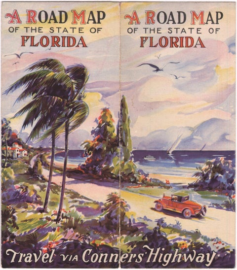
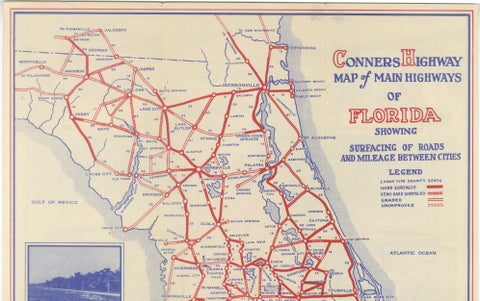
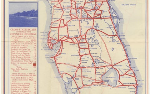
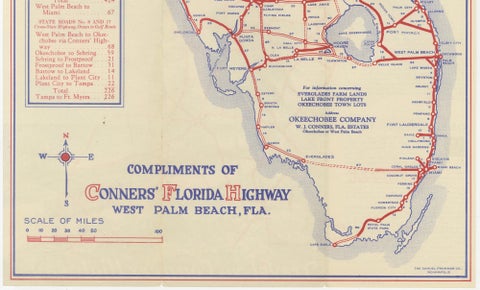
The main roads of Florida in the mid-1920s, an original color-printed promotional road map titled "Conners Highway Map of Main Highways of Florida Showing Surfacing of Roads and Mileage Between Cities," issued circa 1924 by The Samuel Frommer Company of Indianapolis. It is a self-folding motorist's map, printed in red and blue on a cream ground.

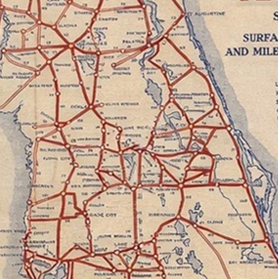
The whole peninsula is shown from the Georgia line to the Keys, with the roads drawn in red and graded by a legend into hard surfaced, semi-hard surfaced, graded and unimproved. Towns are connected by lettered mileages, and lakes, rivers and both coasts are outlined, with Lake Okeechobee prominent in the south. A panel at the left lists cross-state roads via Conners Highway with mileages, and a lower cartouche reads "Compliments of Conners' Florida Highway, West Palm Beach, Fla." Lettering at the foot gives the Okeechobee Company of W. J. Conners as the source for information on Everglades farm lands and Okeechobee town lots.

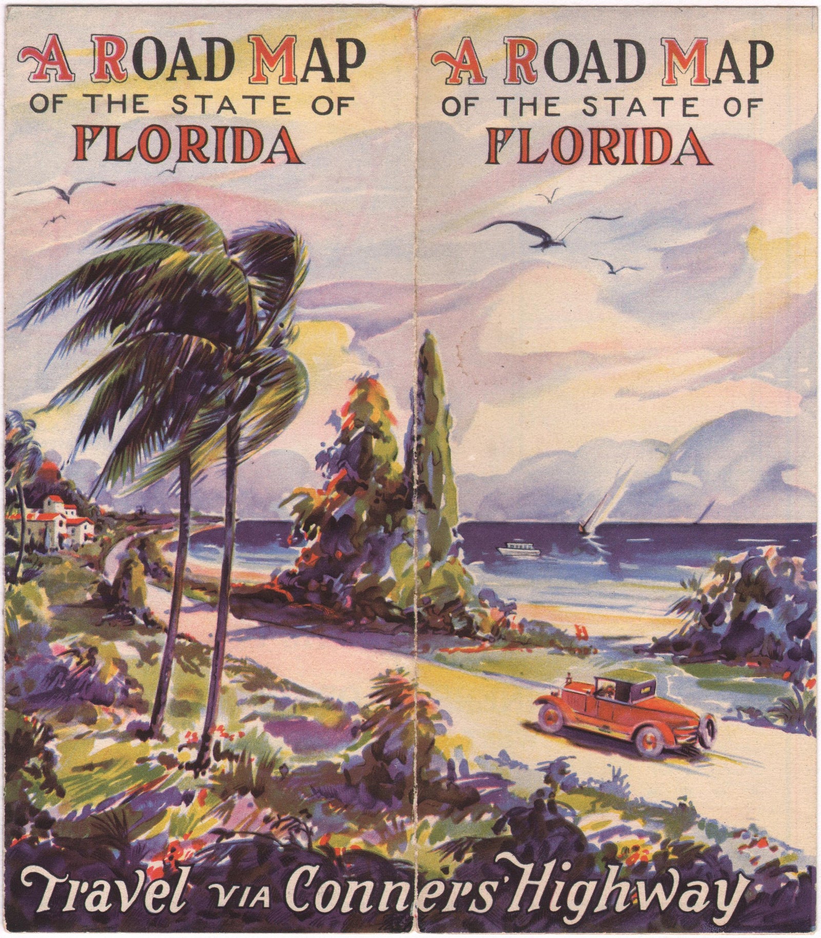
Conners Highway was a privately built toll road of about 52 miles across the Everglades, linking West Palm Beach with Okeechobee, built by Buffalo businessman William J. Conners. The State of Florida purchased it in 1930. The verso carries period illustrations and promotional text for the road and for Conners' Okeechobee real estate.

★

More of Florida


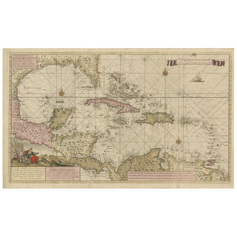
Engraving of a Map of Florida, the Gulf Coast, Caribbean & Central America, 1728
1728 · Van Keulen
$15,335
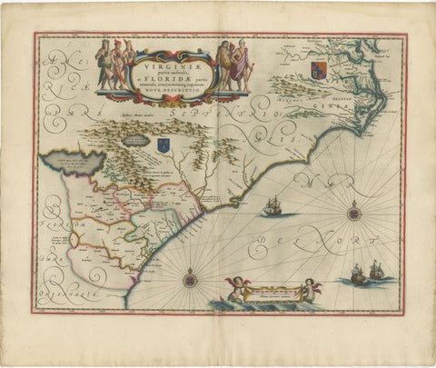
Blaeu Virginia and Florida Map – Decorative Early America Chart, 1642
1642 · Blaeu
$5,875
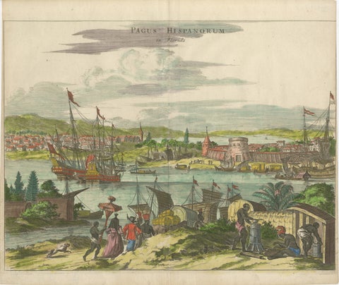
Rare 17th Century View of St. Augustine Florida, Hand-Colored, 1671
1671 · Montanus & Ogilby
$1,510
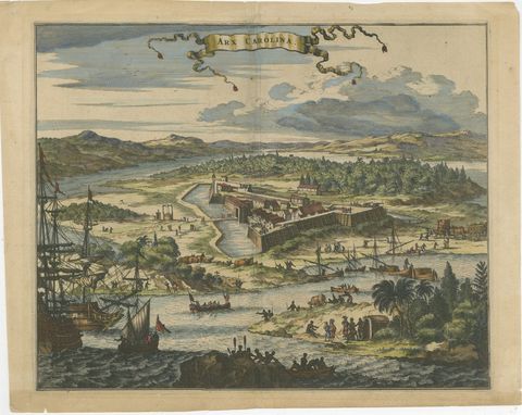
Fort Caroline in Florida, Montanus Engraving – Early America View 1671
1671 · Montanus & Ogilby
$1,085
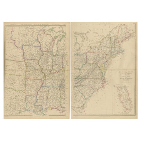
Set of 2 Antique Maps of the United States by W. G. Blackie, 1859
1859
$660
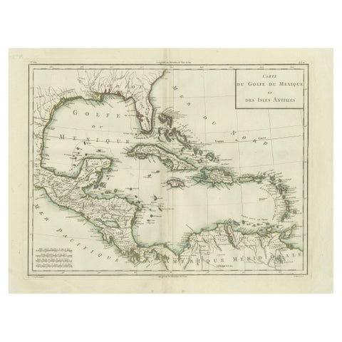
Antique Map of the Gulf of Mexico and Caribbean Islands by Tardieu, 1802
1802
$625
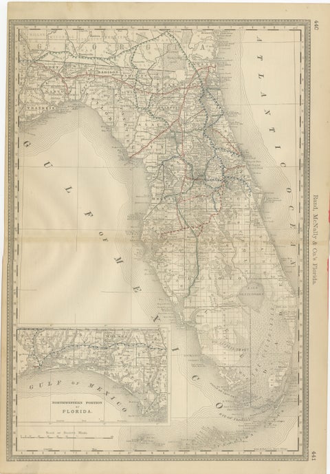
Florida 1888 Antique Map – Railroads, Settlements & Gulf Coast Detail
1888 · Rand McNally
$605
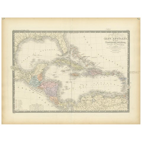
Antique Map of the Antilles in the Caribbean, '1875'
1875
$560

Ask about this print

We reply by email, usually within one working day.

Your favorites

Saved in this browser. Email the list to yourself to keep it on any device.

We use your email to send this list and, only if you tick the box and confirm, for occasional new arrivals. Every email has an unsubscribe link. Bartele Gallery, the Netherlands.

Your bag

Total

Each piece is bought on its own; shipping is added at checkout.