



A Bartele Gallery CollectionLangweer · Jakarta

American Maps & Prints
Original antique maps, charts & prints of the Americas ★ Originals only


Home › General Americana › Texas
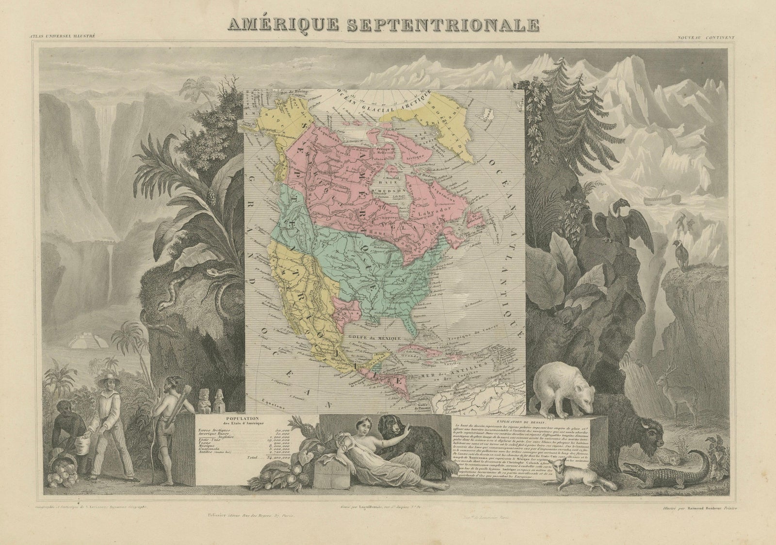
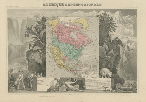
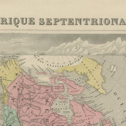
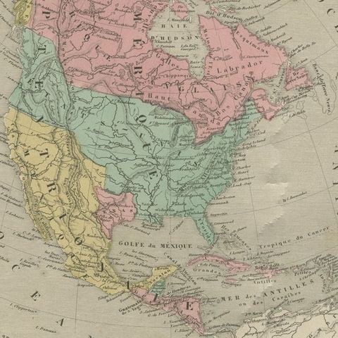
Antique Map North America, Texas Republic, Decorative Levasseur Atlas, c.1845
1845 · Maps

Antique Map North America, Texas Republic, Decorative Levasseur Atlas, c.1845

$1,400
€1,250 · dollar price at today's exchange rate

Buy now Ask a question

Shipping to the United States: $51 standard, $73 express, insured and tracked.

Date
1845
Kind
Maps
Size
36.7 × 51 cm (14.4 × 20.1 in)
Condition
Good. Good antique condition with age toning and light foxing. Margins generally well preserved. The engraving is crisp, and the original hand coloring remains bright and attractive.
Period
Westward Expansion & Civil War
Places
Canada, Mexico, Texas
Reference
BG-14277-6
What the condition grades mean
Excellent
Bright and clean, with no faults worth mentioning.
Very good
Only light signs of age, such as faint toning.
Good
Normal signs of age for a sheet of this period: toning, some foxing, small marks or neat old repairs.
Fair
Clear faults such as staining, tears or repairs, priced to match.

Every fault we see is written in the condition note, and the whole sheet is shown uncropped in the photos.

Guaranteed original. This is an original of the period stated, not a later reproduction or print-on-demand copy. If it is ever shown to be otherwise, we refund you in full.
Shipping to the United States. Sent from our gallery in Langweer, the Netherlands, flat between boards or rolled in a tube, and fully insured. Delivery and import charges.
About this piece

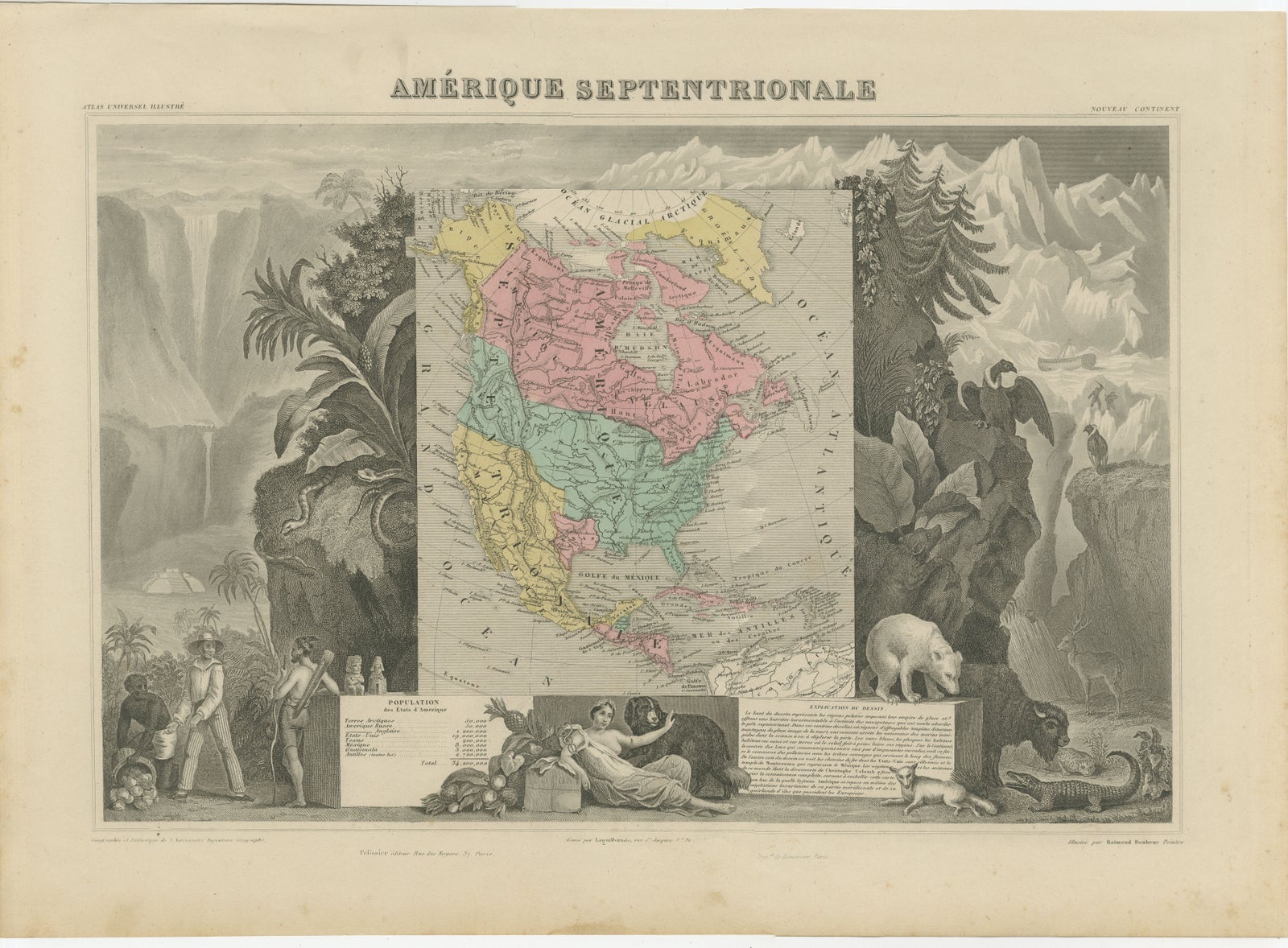
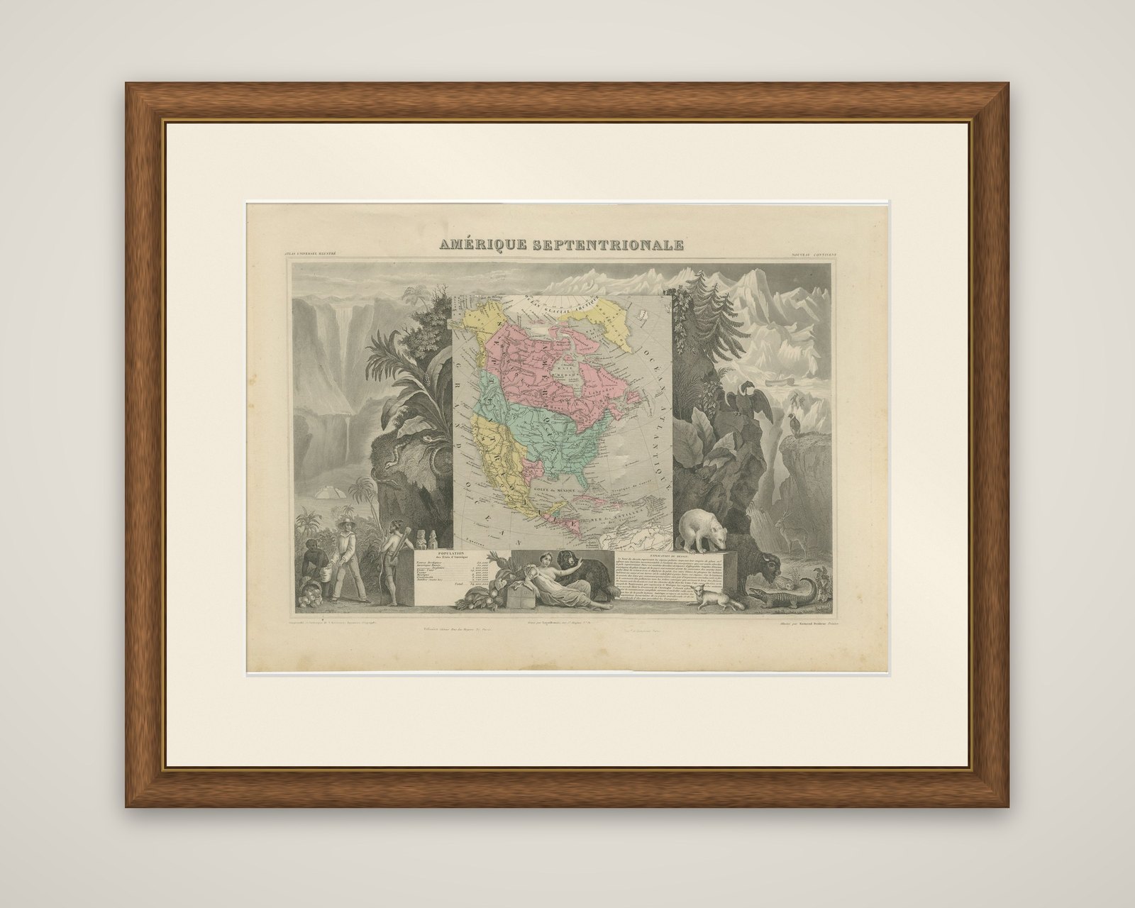
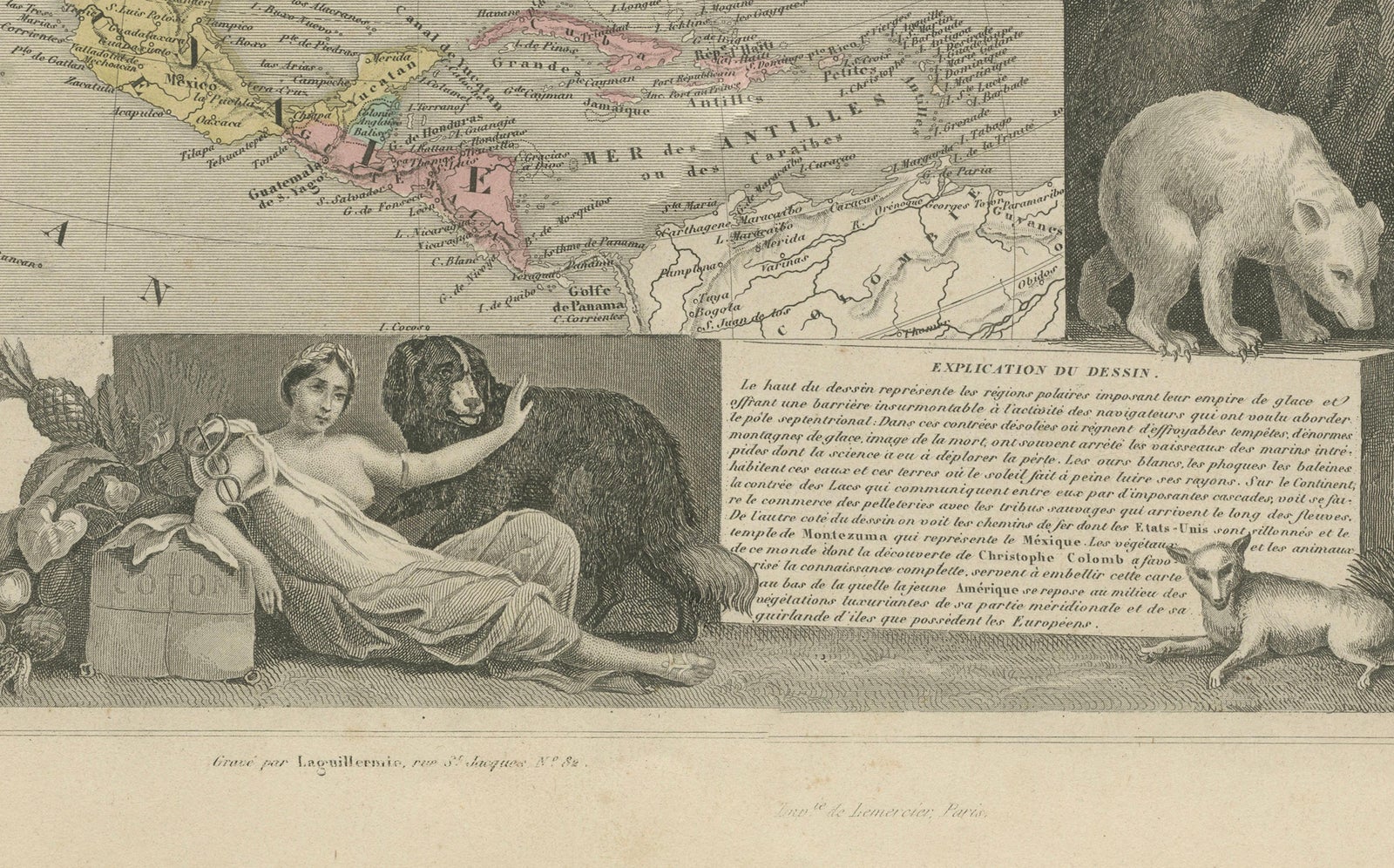
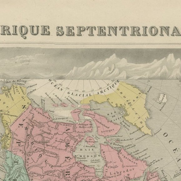
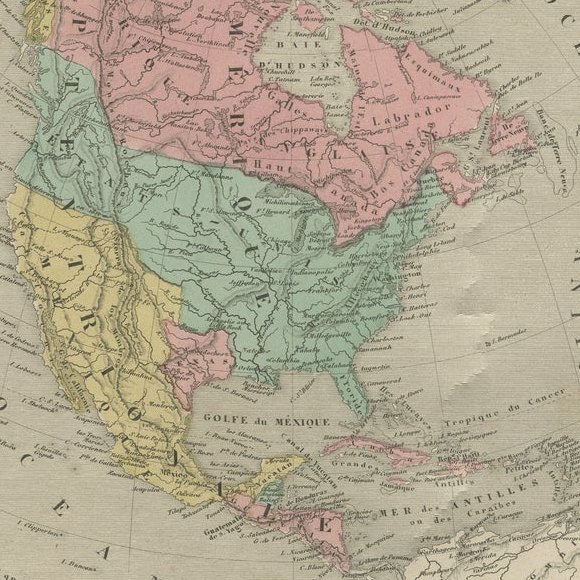
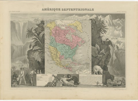
North America in the decorative map "Amérique Septentrionale" by Victor Levasseur, an original steel-engraved map with outline hand color, published in Paris around 1842 to 1845 for the Atlas Universel Illustré. The border was designed by Raymond Bonheur and engraved by Auguste Laguillermie.

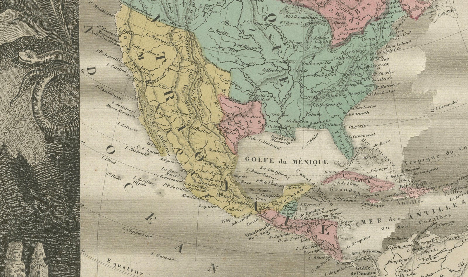
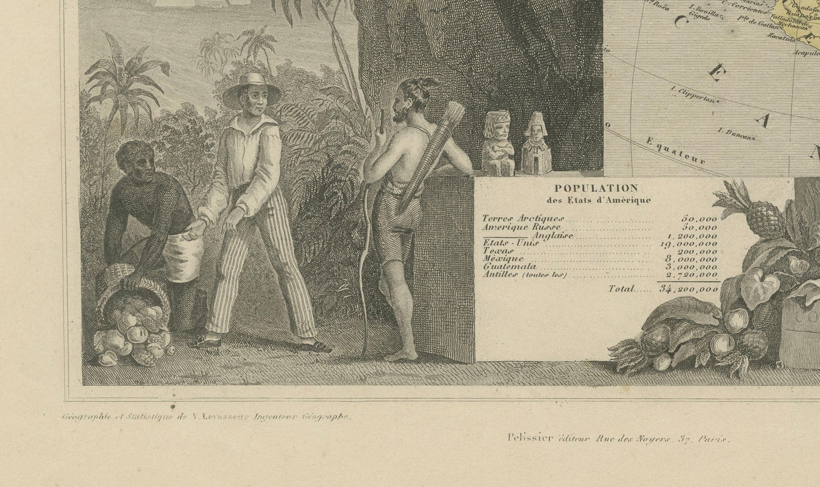
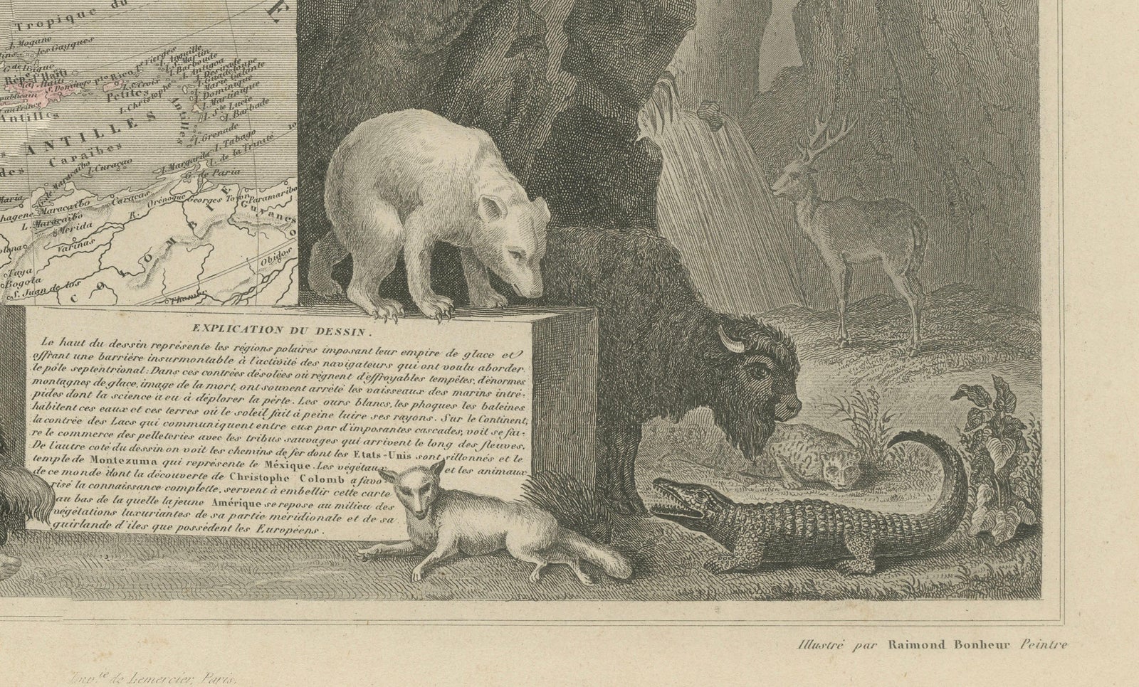
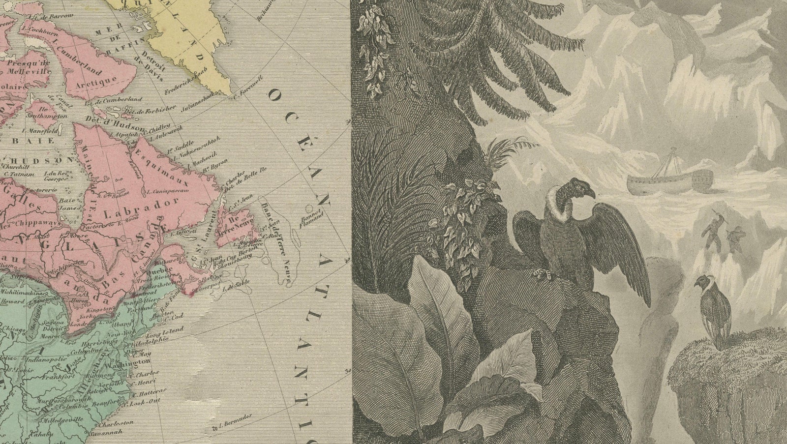
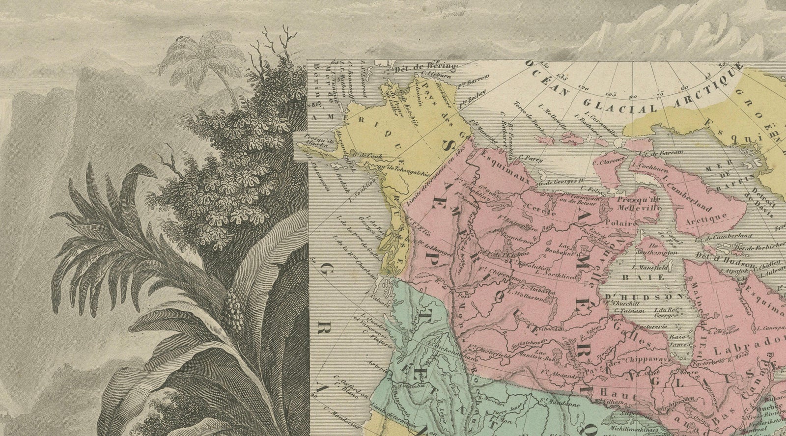
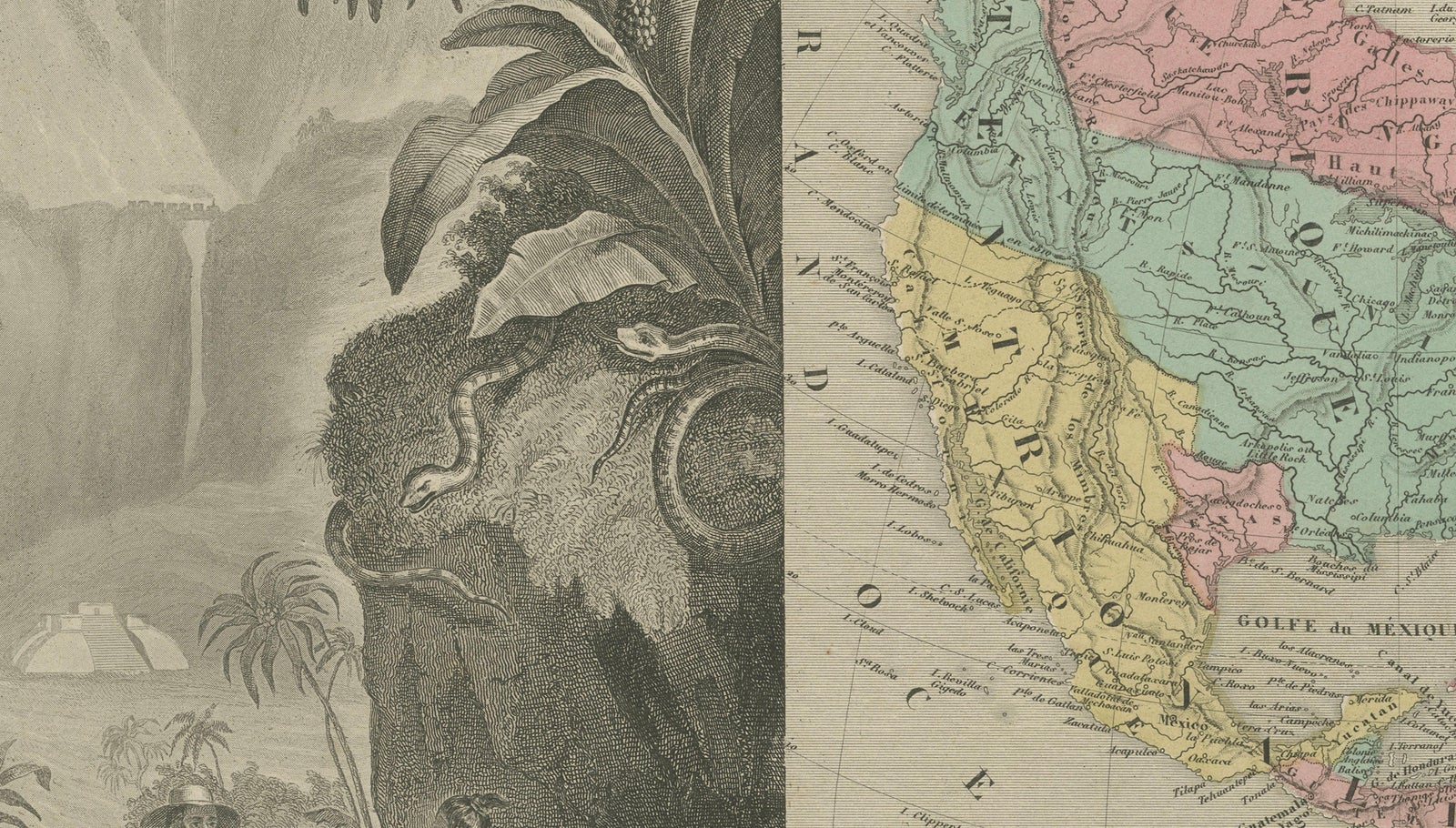
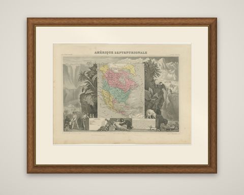
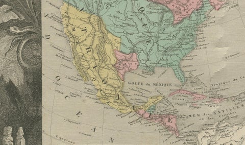
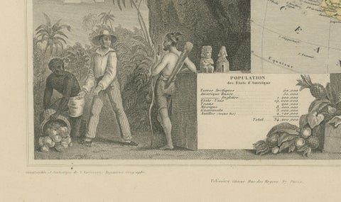
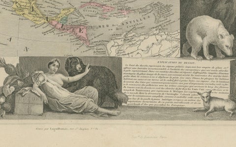
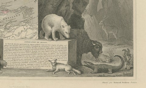
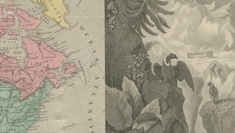
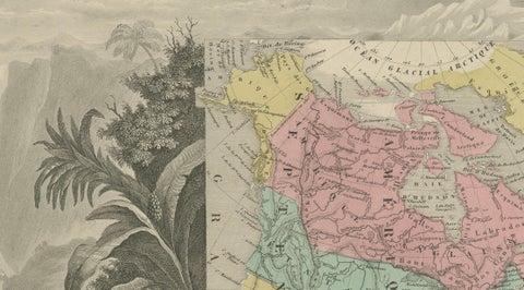
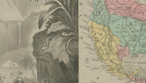
The map itself, in the center, shows the continent from Russian America (Alaska) in the northwest to Central America and the West Indies in the south, with the countries in different colors: Canada in pink, the United States in green and Mexico in yellow. Texas is shown as an independent republic, and the Oregon country lies in the northwest. Around it the border is a landscape of the continent: a waterfall and palms at the left, with a snake coiled around a tree, snowy mountains and a macaw at the right, and at the foot a polar bear, a bison, a fox and an alligator. Figures of Native and black laborers stand at the lower left, and in the lower center a reclining allegorical woman holds a cornucopia of fruit beside a large dog. A table of populations by country is set at the left and a column of printed text at the right.

Texas was an independent republic from 1836 until its annexation in 1845.

★

More of Texas


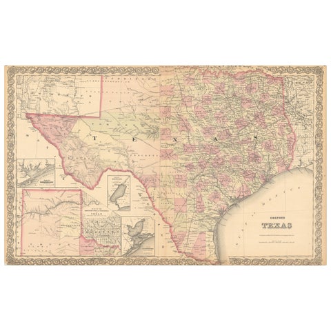
Large Antique Map of Texas with Panhandle & Bay Inset Maps, Colton, 1873
1873 · J. H. Colton
$815
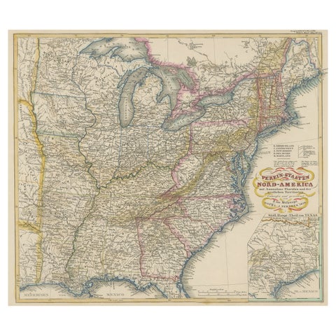
Antique Map of the Eastern United States with Inset Map of Texas
circa 1859 · Stieler
$605
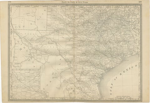
Texas Antique Map 1888 – Railroads, Counties & Frontier Settlements
1888 · Rand McNally
$605
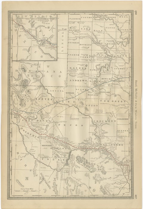
Western Texas Antique Map 1888 – Railroads, Counties & Frontier Towns
1888 · Rand McNally
$605
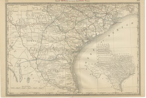
Antique Map 1888 – Southern Texas Railroads, Counties & Settlements
1888 · Rand McNally
$605
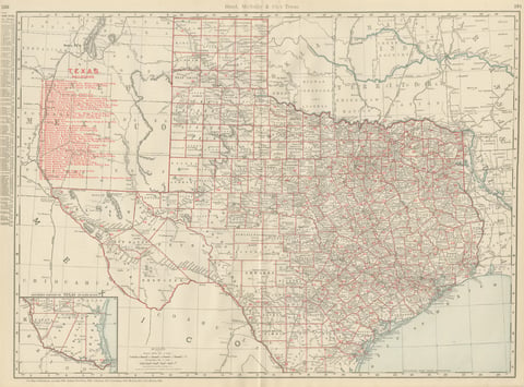
Antique Map of Texas, The Lone Star State, Rand McNally, 1899
1899 · Rand McNally
$555
1849 Hand-Colored Map of Fort Smith to Santa Fe Route, Detailing Trails & Camps
1849
$470
New Mexico & Northern New Spain – Enlightenment Map by Rigobert Bonne, c.1780
1780 · Rigobert Bonne
$435

Ask about this print

We reply by email, usually within one working day.

Your favorites

Saved in this browser. Email the list to yourself to keep it on any device.

We use your email to send this list and, only if you tick the box and confirm, for occasional new arrivals. Every email has an unsubscribe link. Bartele Gallery, the Netherlands.

Your bag

Total

Each piece is bought on its own; shipping is added at checkout.