Antique maps & prints of the Americas
Westward Expansion & Civil War
★ 381 original pieces ★
Texas, Oregon and the Mexican cession, the gold rush and the Civil War: two decades in which the map of the United States changed faster than at any time before or since.
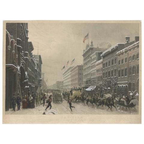
Stunning Winter Scene on Broadway, New York - Hand-Colored Aquatint from 1857
1857
$3,805
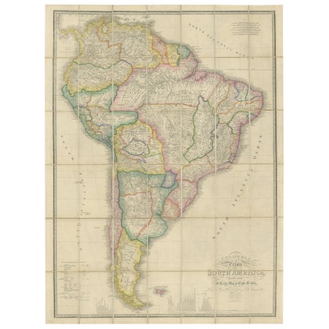
Antique Map of South America by Wyld, circa 1850
1850 · Alexander von Humboldt
$2,185
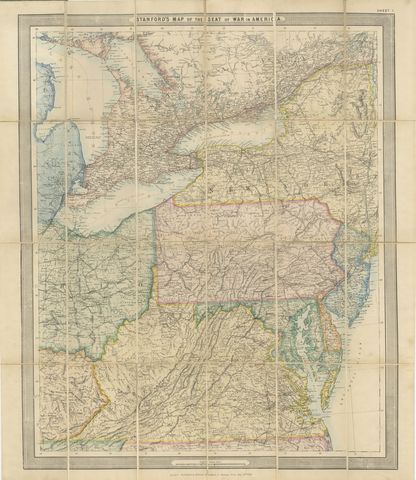
American Civil War “Seat of War” Map, Published Just After Bull Run, 1861
1861
$2,170
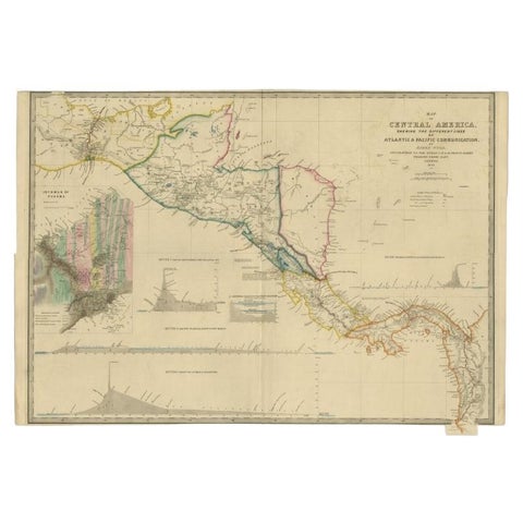
Antique Map of Central America Showing the Communication Lines, 1850
1850
$1,960
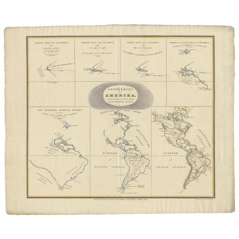
Interesting Antique Map of the Development of the Mapping of the America's, 1841
1841
$1,400
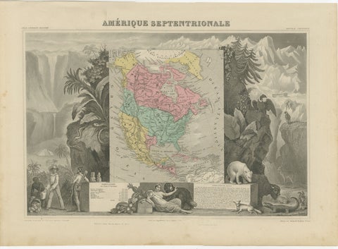
Antique Map North America, Texas Republic, Decorative Levasseur Atlas, c.1845
1845
$1,400
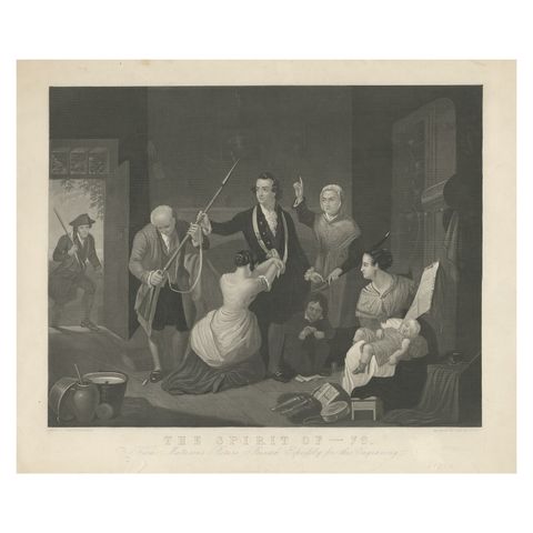
Antique Print of a Scene in American Revolution, The Spirit of '76. '1862'
1862
$1,090
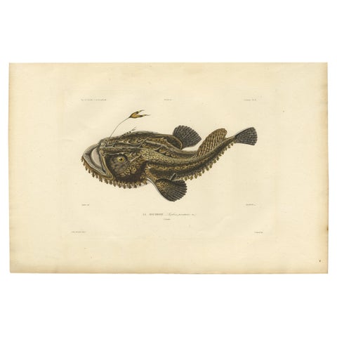
Antique Ichthyology Print – Anglerfish (Lophius piscatorius), Gaimard 1842
1842
$1,065
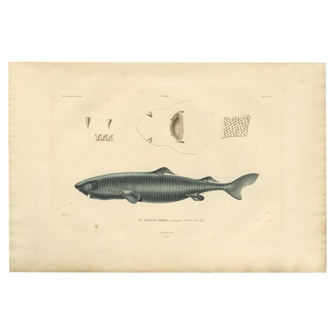
Rare Hand-Colored Antique Engraving of A Greenland Shark, 1842
1842
$1,065
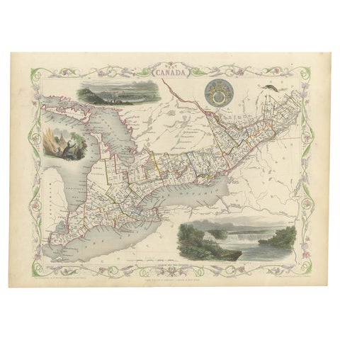
Beautiful Decorative Hand-Colored Antique Map of West Canada, 1851
1851 · John Tallis
$1,065
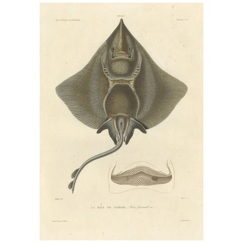
Antique Print of Arctic Skate or Gaimard’s Ray – Hand-Colored Lithograph, 1854
1854
$985
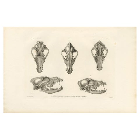
Rare Engraved Prints of Skulls of an Eskimo Dog and The Icelandic SheepDog, 1842
1842
$950
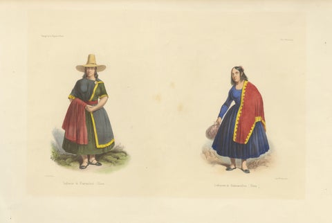
Peruvian Women's Costumes, Huarochirí & Huancavelica, Hand-Colored, 1841
1841
$890
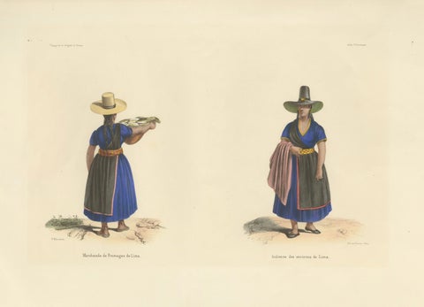
Peruvian Women of Lima, Cheese Seller and Regional Costume, Original 1841
1841
$890
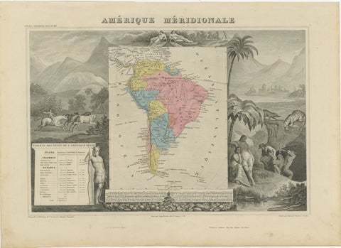
Antique Map South America, Levasseur, Decorative Original Hand Colored, c.1845
1845
$885
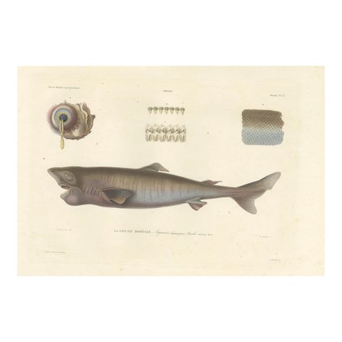
Antique Print of Greenland Shark with Detail Views – Paris, circa 1845
1845
$875
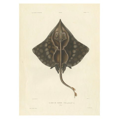
Antique Print of Gaimard’s Skate – Raia gaimardi – Hand-Colored Lithograph, 1845
1845
$875
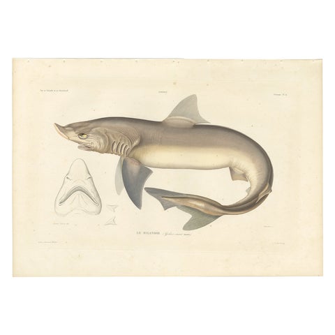
Antique Shark Illustration – Tope Shark from Iceland-Greenland Voyage, 1845
1845
$850
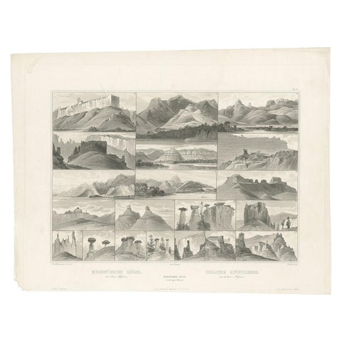
Antique Print of Hills on the Upper Missouri Made after Bodmer, circa 1840
1840 · Karl Bodmer
$840
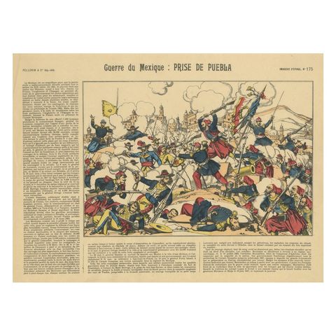
Battle of Puebla, French Intervention in Mexico, Épinal Print, 1863
1863
$770
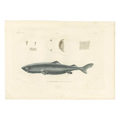
Antique Print of Greenland Shark with Anatomical Details – Paris, 1845
1845
$705
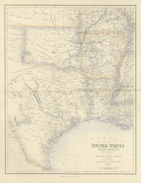
Antique Map of Texas and Louisiana with Indian Territory, circa 1860
circa 1860
$700
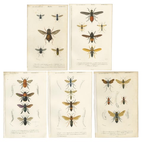
Set of Five Antique Prints of Flies and Hymenoptera Insects, 1861
1861
$695
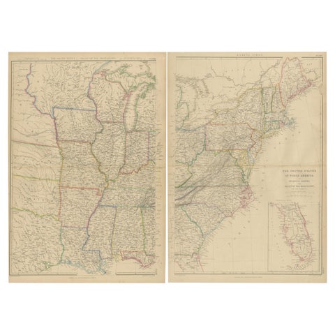
Set of 2 Antique Maps of the United States by W. G. Blackie, 1859
1859
$660
Page 1 of 16Next →
★
Other periods