



A Bartele Gallery CollectionLangweer · Jakarta

American Maps & Prints
Original antique maps, charts & prints of the Americas ★ Originals only


Home › The United States › Maryland
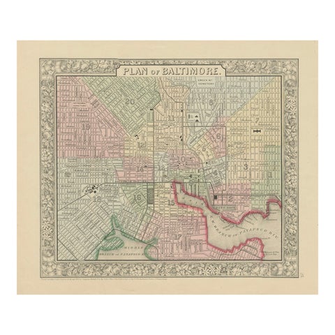
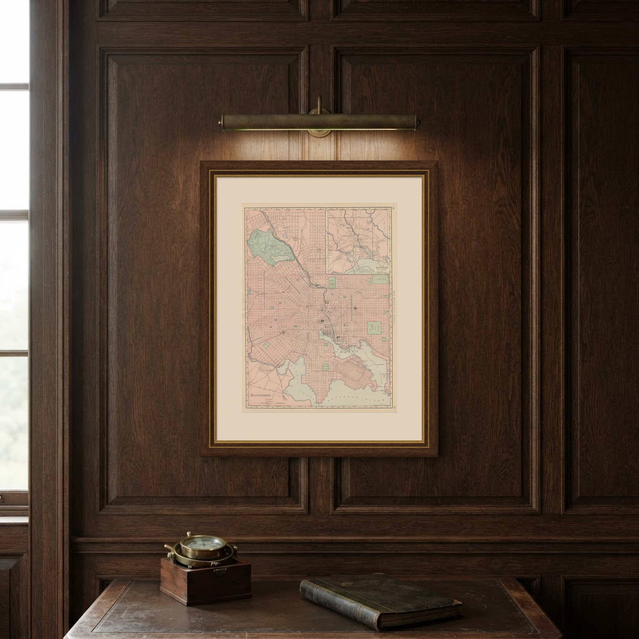
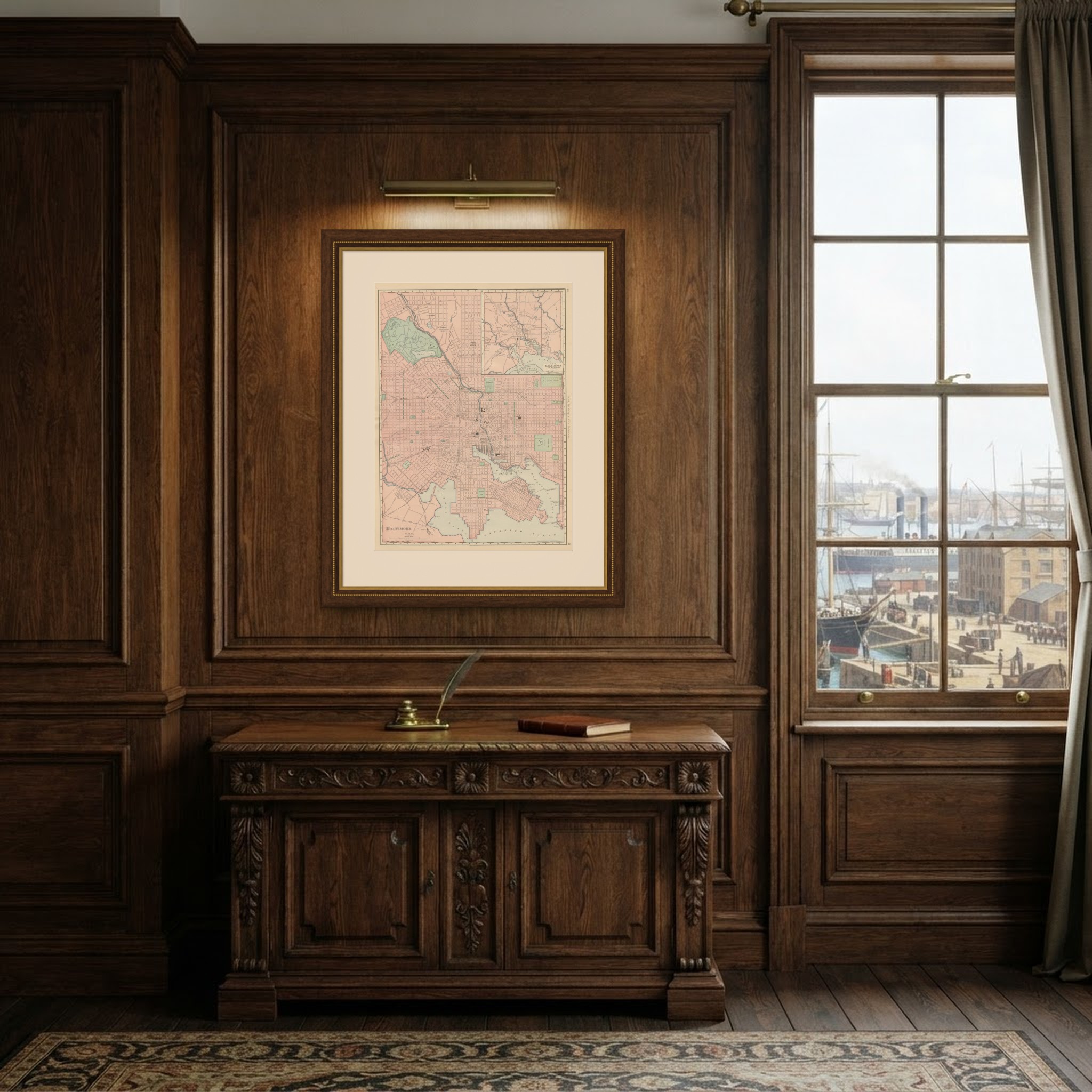
Antique Map of Baltimore, with Druid Hill Park, Rand McNally, 1899
1899 · Maps

Antique Map of Baltimore, with Druid Hill Park, Rand McNally, 1899

$385
€345 · dollar price at today's exchange rate

Buy now Ask a question

Shipping to the United States: $51 standard, $73 express, insured and tracked.

Date
1899
Maker
Rand McNally
Kind
Maps
Technique
Lithograph
Color
Printed color
Size
69 × 52 cm (27.2 × 20.5 in)
Condition
Good. Good condition for its age. Light, even age toning, a few small spots in the margins and the original central fold as issued. Please review the images for further condition details.
Period
The Gilded Age
Places
Maryland
Reference
BG-12793-2-21
What the condition grades mean
Excellent
Bright and clean, with no faults worth mentioning.
Very good
Only light signs of age, such as faint toning.
Good
Normal signs of age for a sheet of this period: toning, some foxing, small marks or neat old repairs.
Fair
Clear faults such as staining, tears or repairs, priced to match.

Every fault we see is written in the condition note, and the whole sheet is shown uncropped in the photos.

Guaranteed original. This is an original of the period stated, not a later reproduction or print-on-demand copy. If it is ever shown to be otherwise, we refund you in full.
Shipping to the United States. Sent from our gallery in Langweer, the Netherlands, flat between boards or rolled in a tube, and fully insured. Delivery and import charges.
About this piece

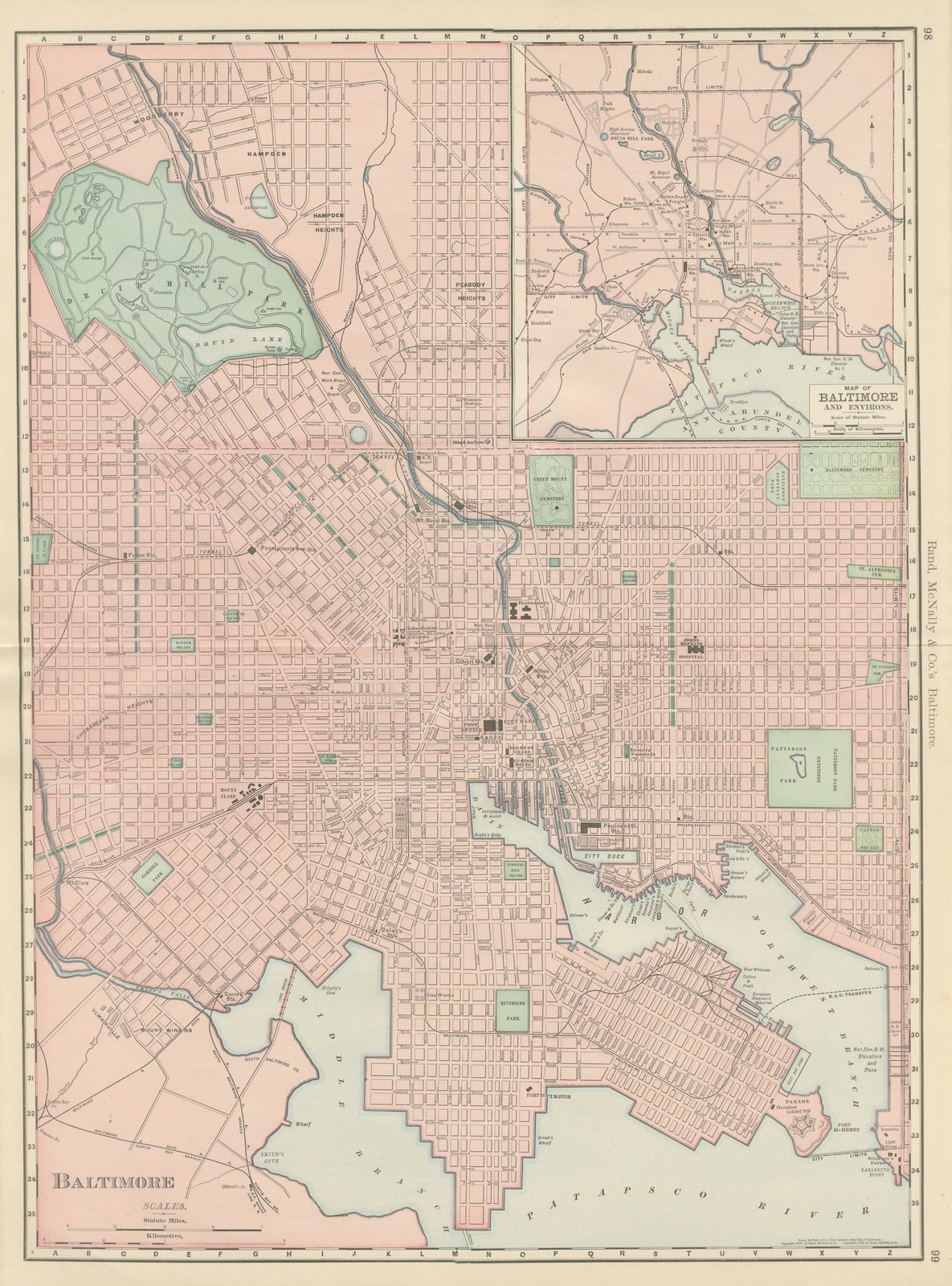
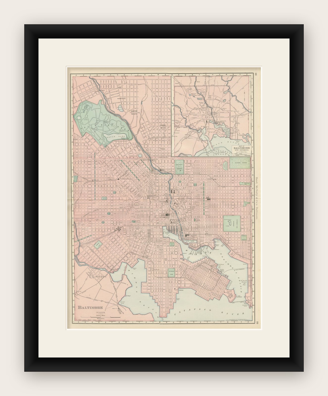
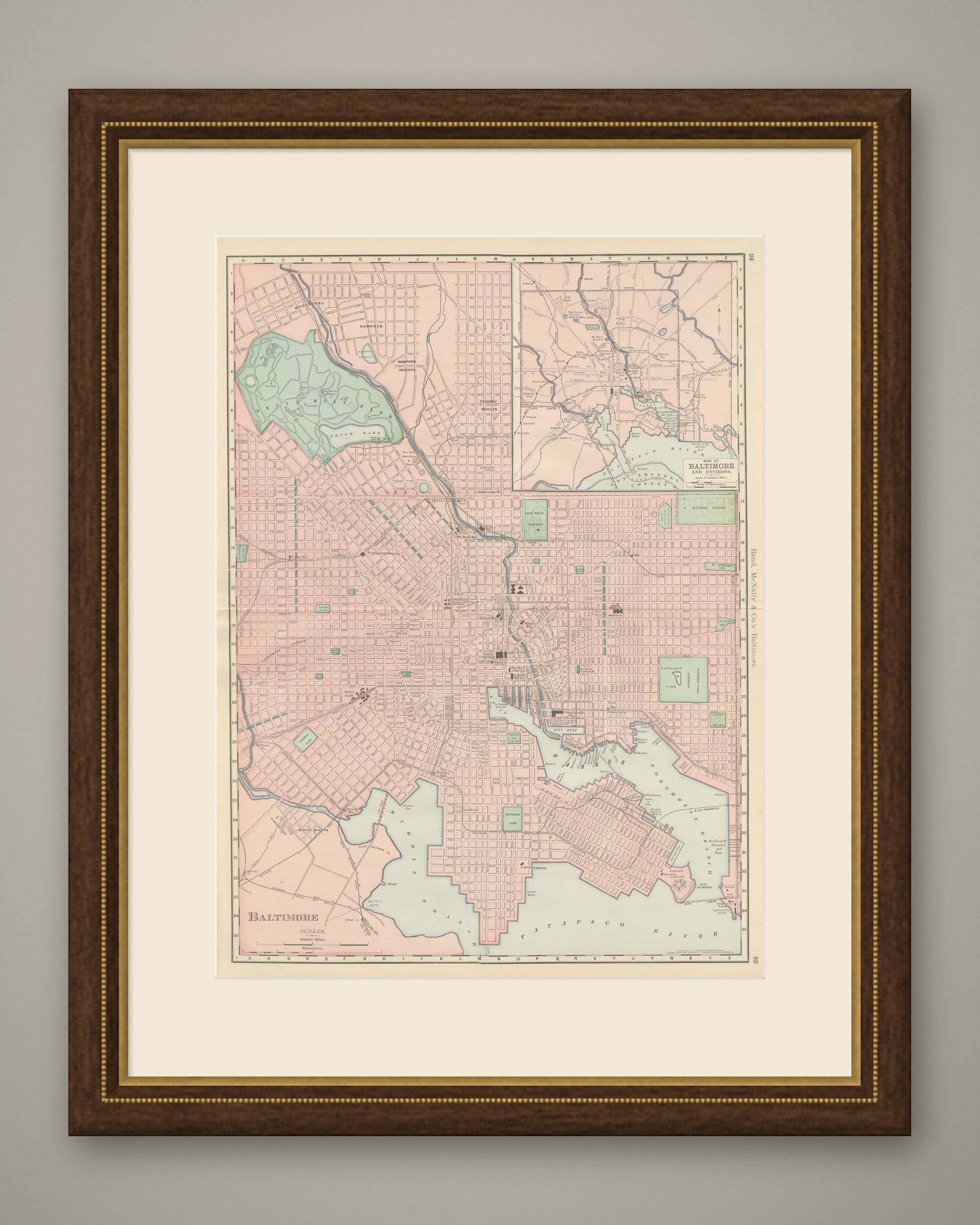
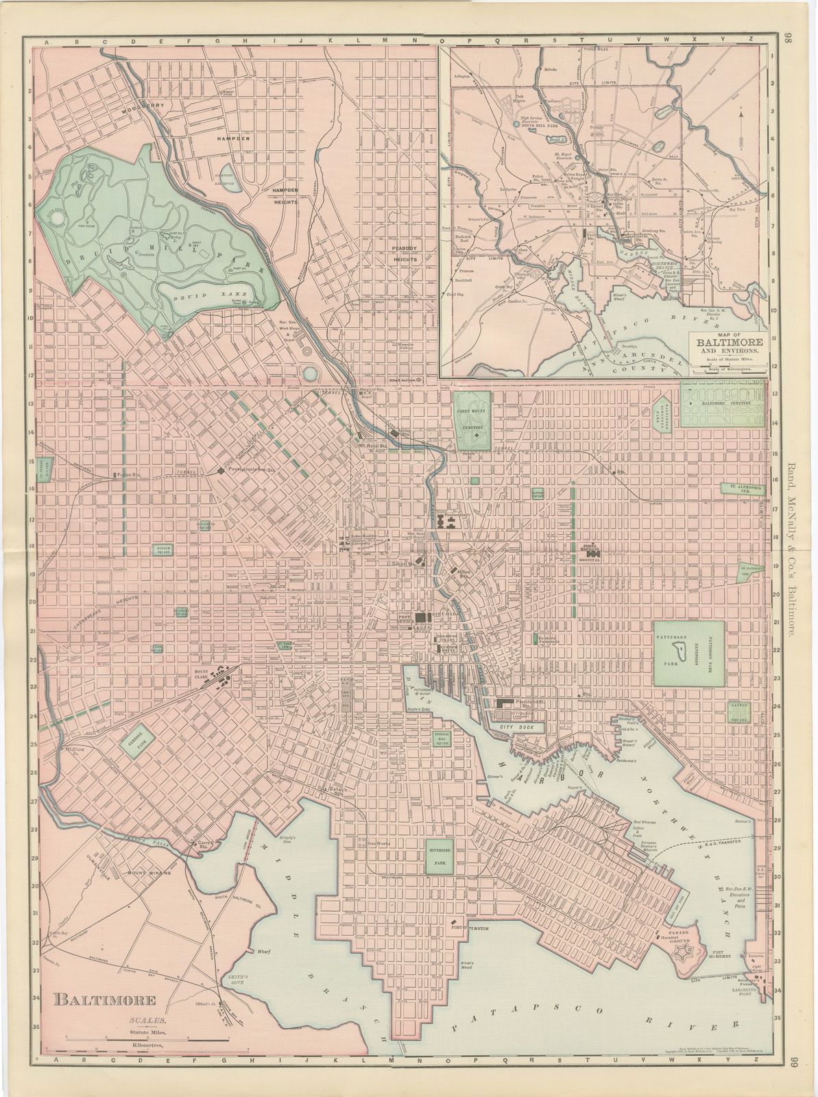
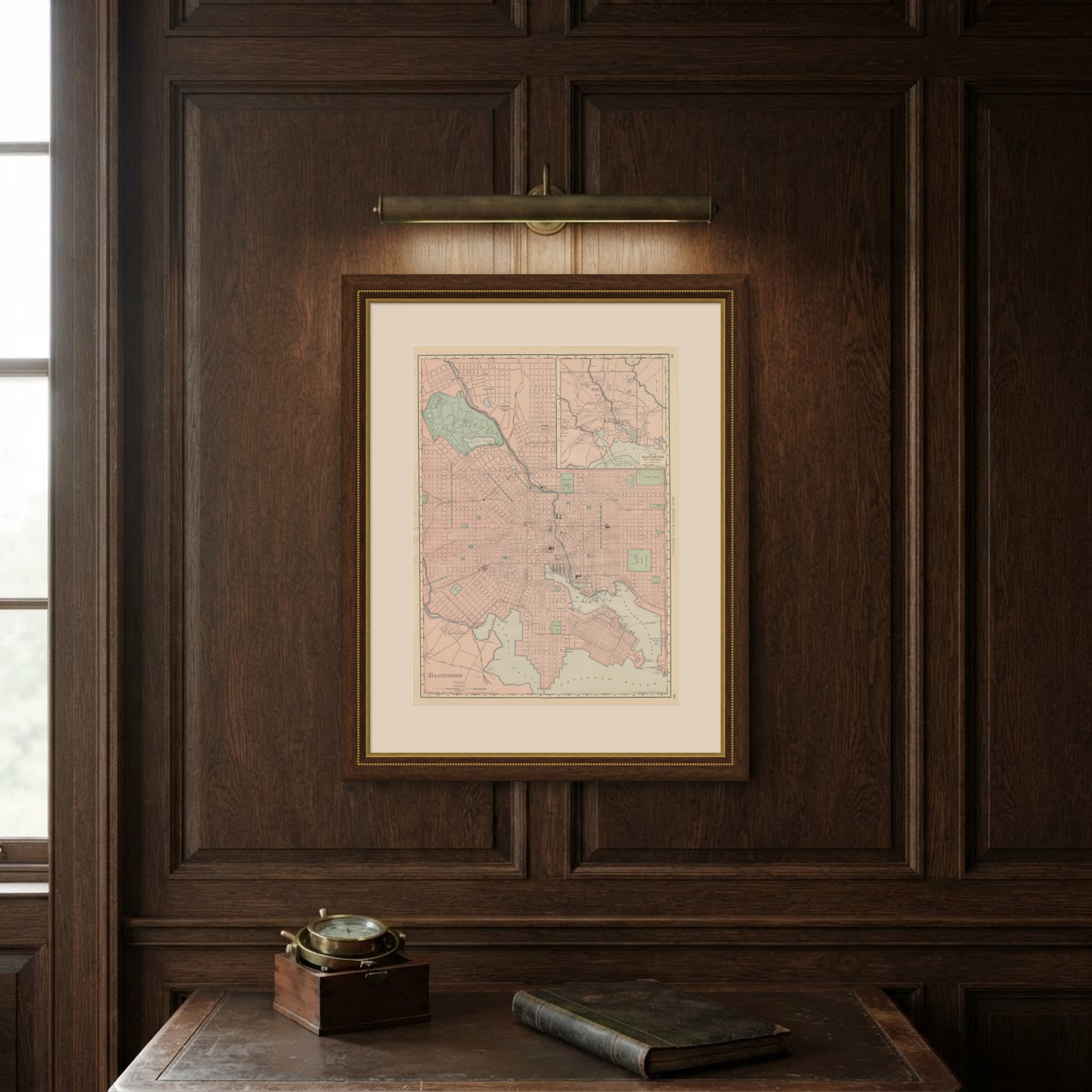
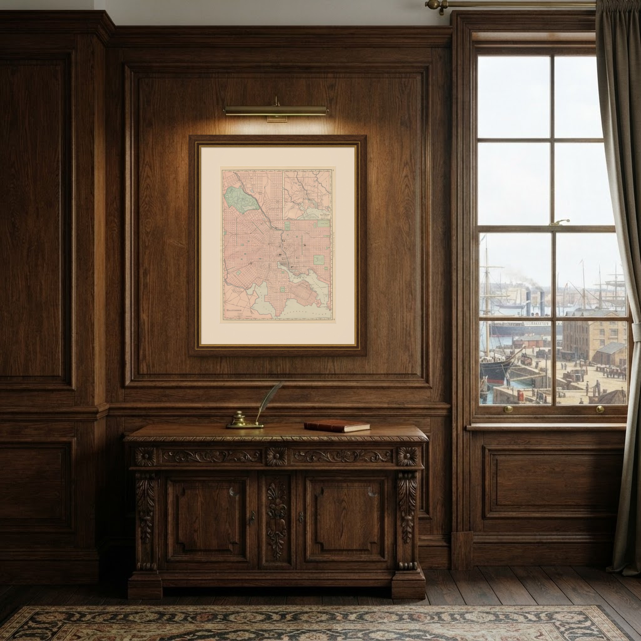
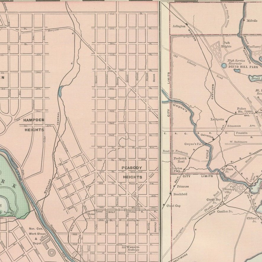
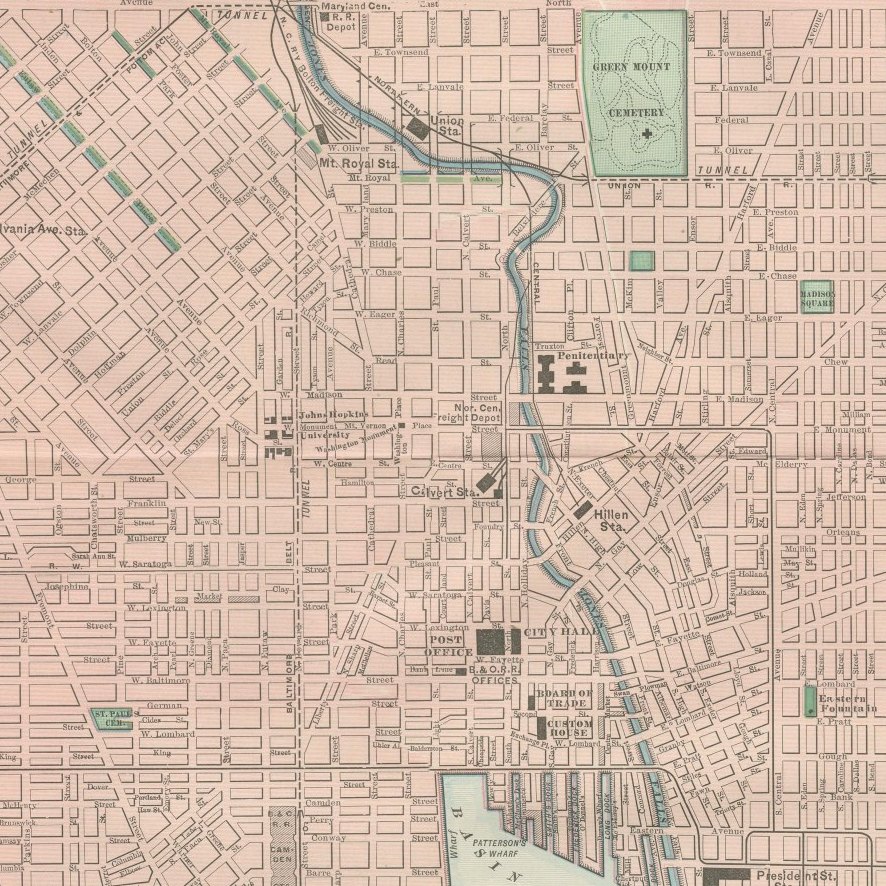
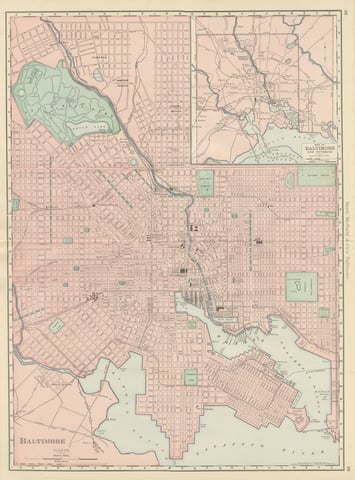
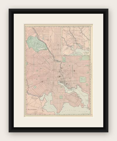
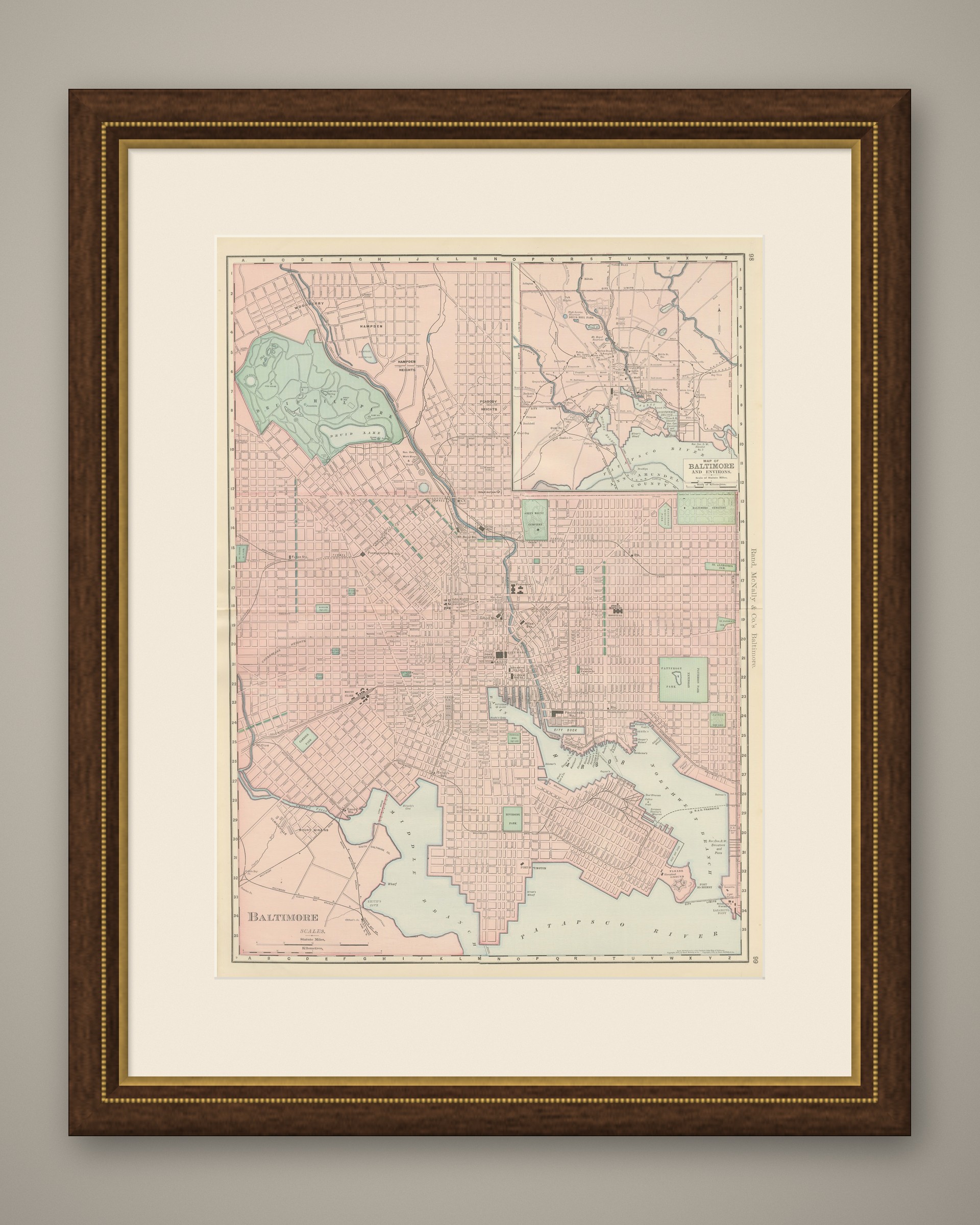
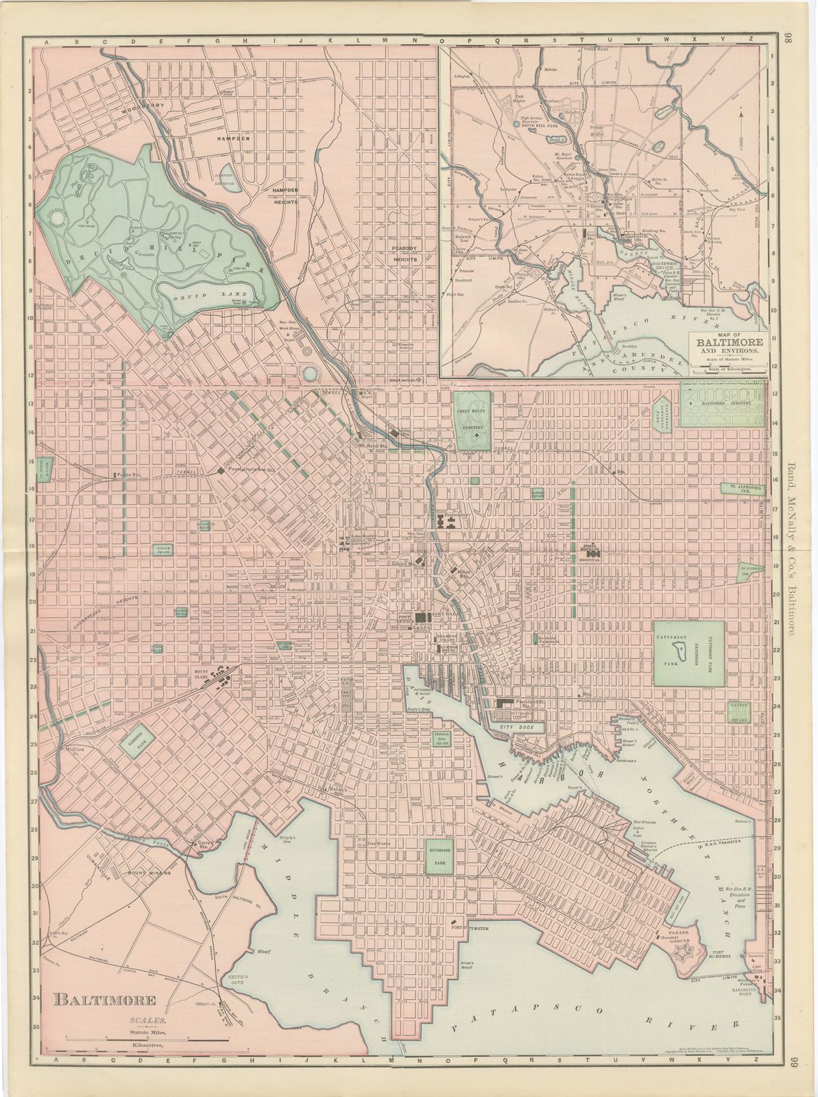
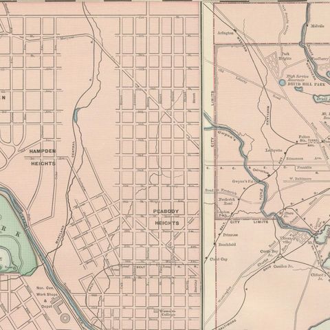
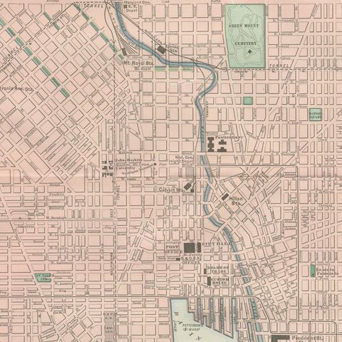
Published by Rand McNally in 1899, this antique map of Baltimore is a double-page street plan on pages 98 and 99 of the indexed atlas, running from Hampden and Woodberry down through the downtown grid to the harbor, Fort McHenry and the Patapsco River.

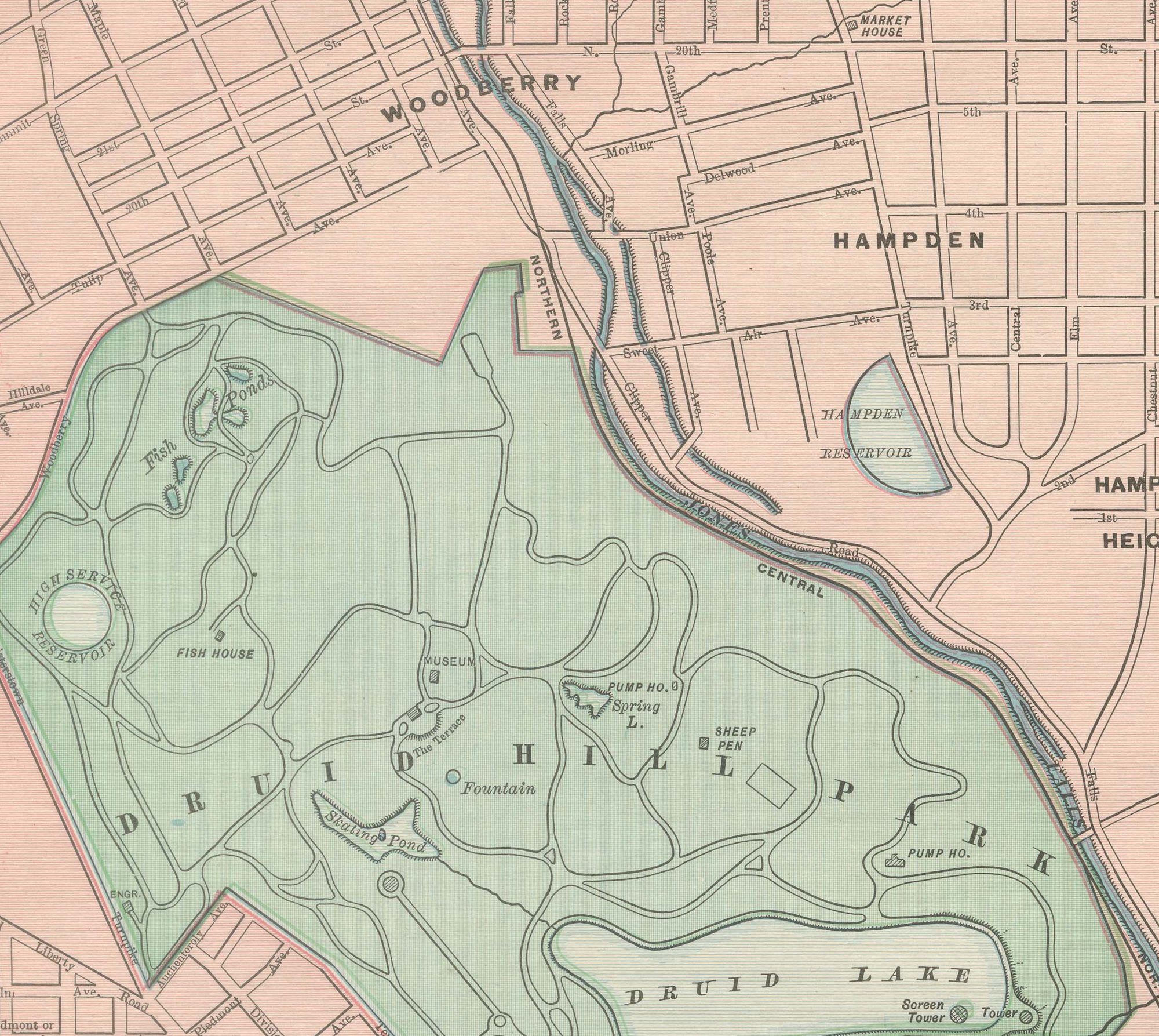
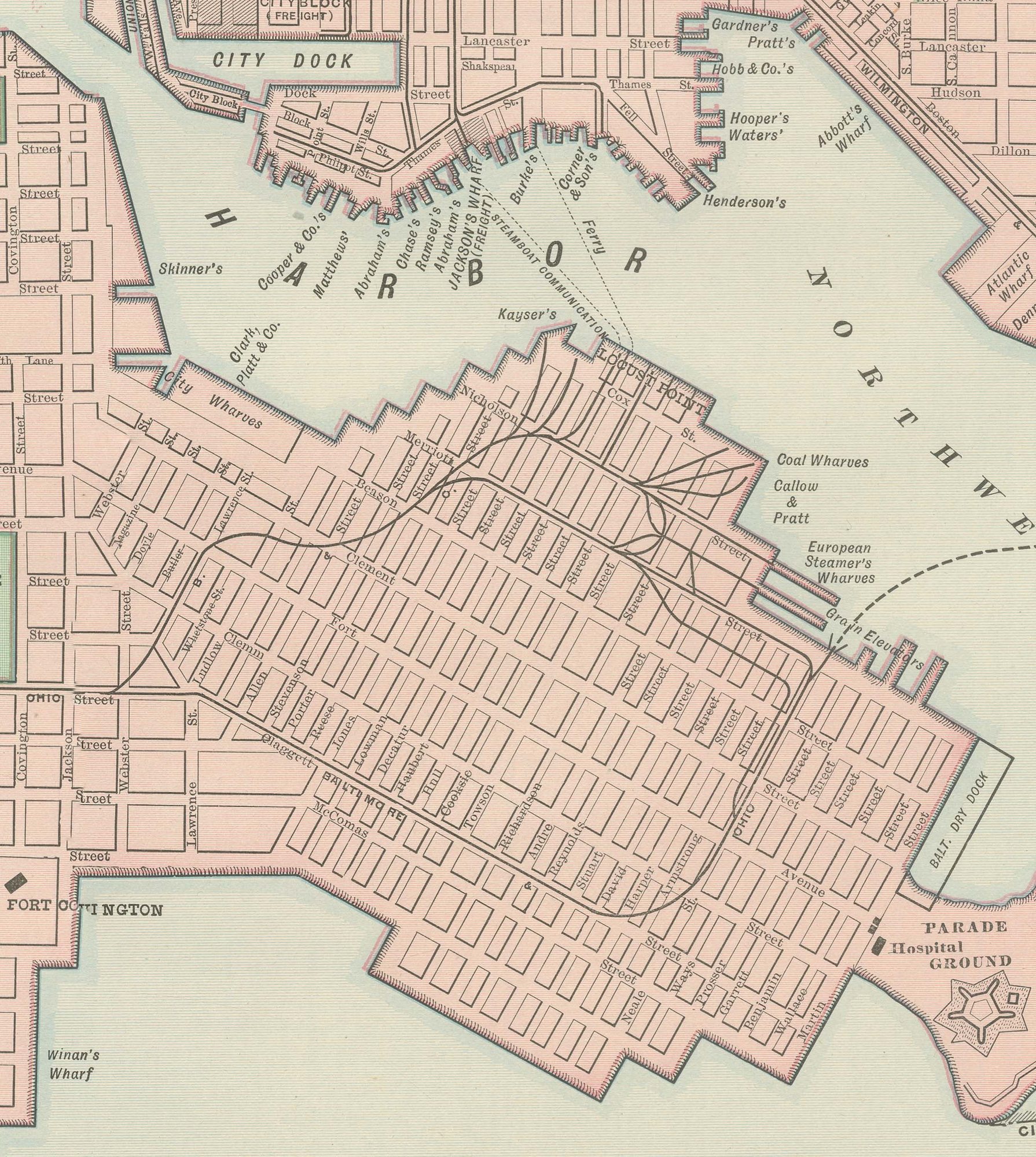
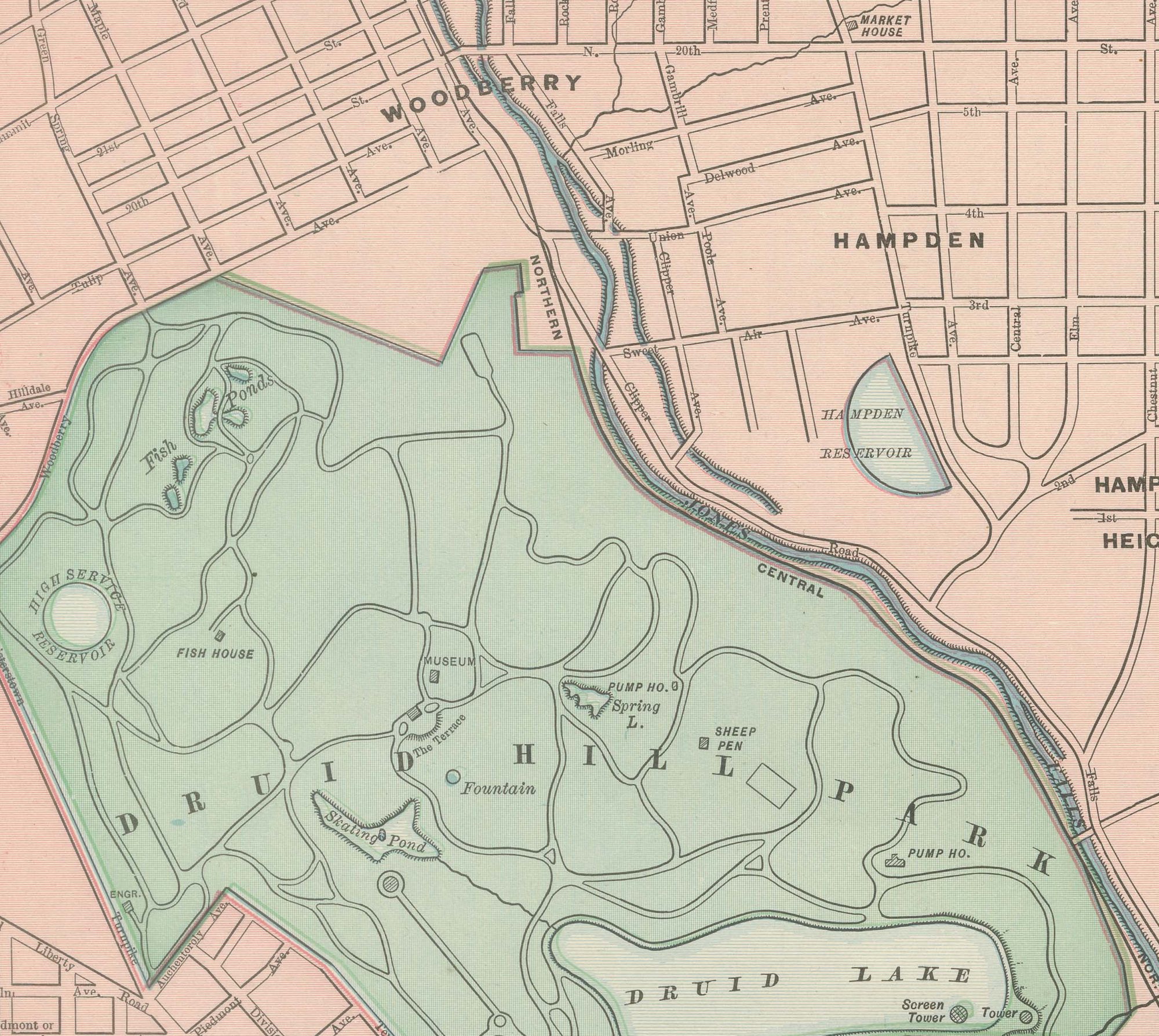
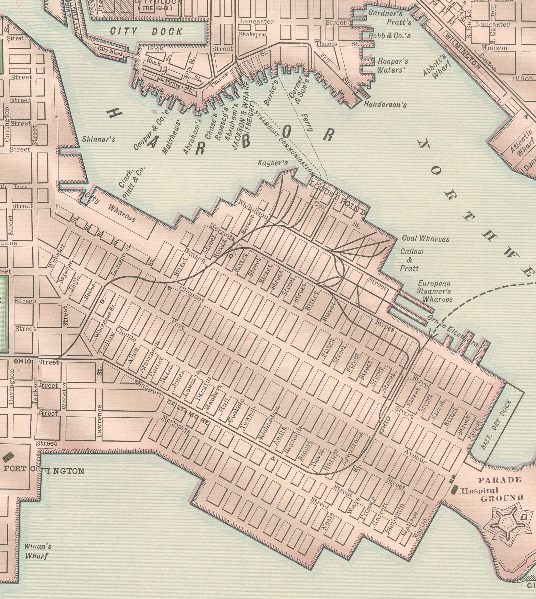
Druid Hill Park is shown in green with Druid Lake at its center, and the plan continues through the dense downtown to the Middle Branch and Northwest Branch of the Patapsco in the south. The harbor is drawn in considerable detail, with the City Dock, the piers along Locust Point and Canton, and Fort McHenry at the tip of the peninsula guarding the harbor entrance all named.

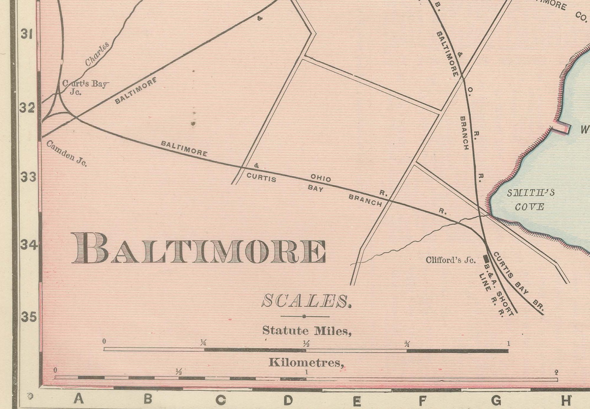
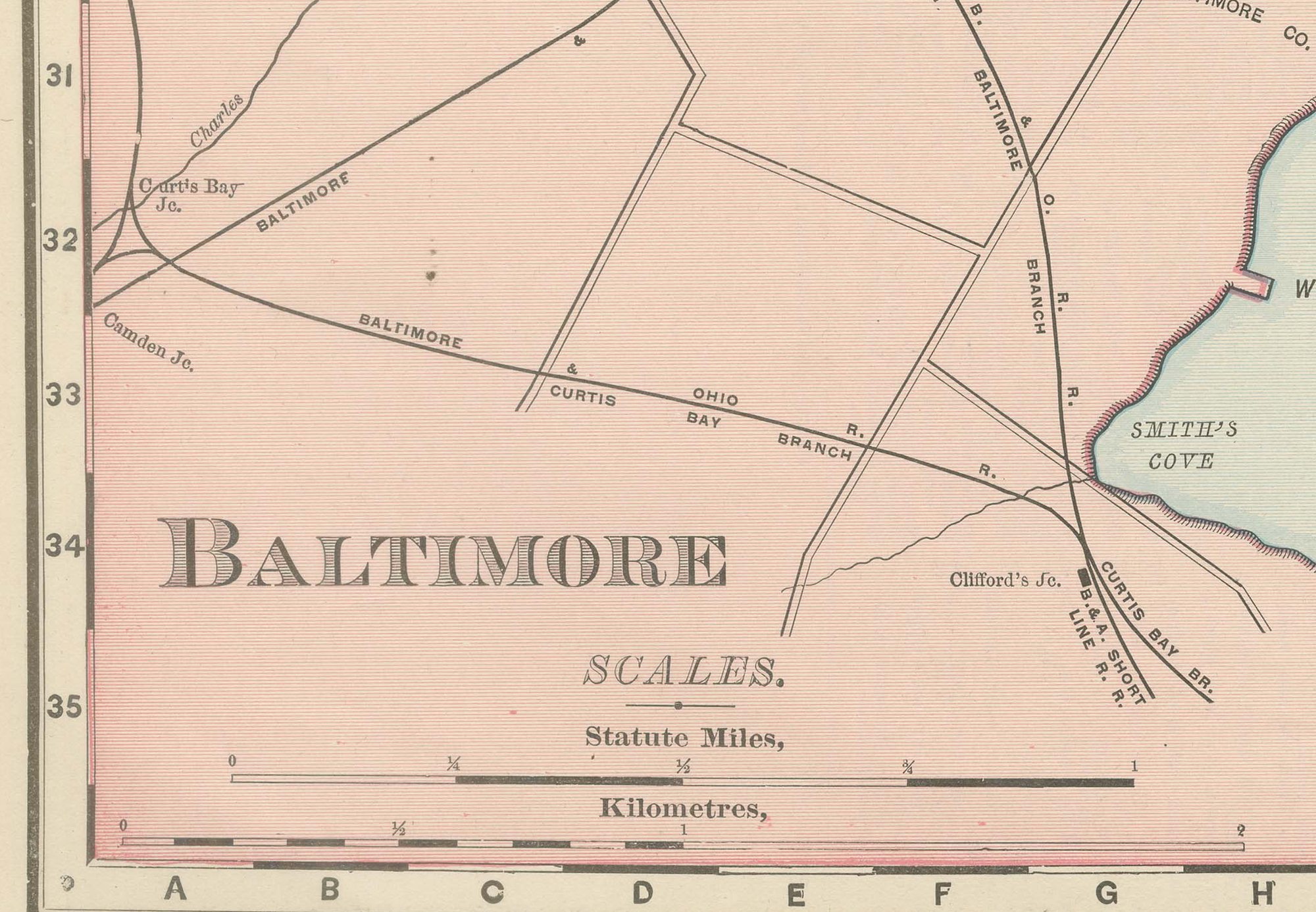
Green Mount Cemetery, Patterson Park, Carroll Park and Riverside Park are picked out in green across the pink street grid, together with the small parks and squares of the residential wards, Franklin Square, Harlem Square, Union Square and McKim's Park among them. An inset at upper right, "Map of Baltimore and Environs", pulls back to show the wider area including Arlington and Govans and the Baltimore and Ohio's rail approaches from the north and west. Scale is given in statute miles and kilometers at lower left. The sheet's interest lies in its street-by-street record of a major mid-Atlantic port, its harbor works, forts and rail terminals all named, at the close of the 1890s.

The publisher, Rand, McNally and Company of Chicago, began as a printing business founded by William Rand in the 1850s and joined by Andrew McNally. By the time of the 1899 indexed atlas it ranked among the leading American map publishers, known above all for railroad and commercial maps that were revised from one issue to the next.

In technique it is a lithograph printed in color, with the black outline printed first and the pastel colors printed over it. Once framed, this antique map of Baltimore would suit a home or office in the city today, and it will appeal to collectors of American city plans and local history.

The sheet is in good condition for its age, with light, even age toning, a few small spots in the margins and the original central fold as issued. Please review the images for further condition details.

This is an original antique map, not a modern reproduction. This item is sold unframed.

★

More of Maryland


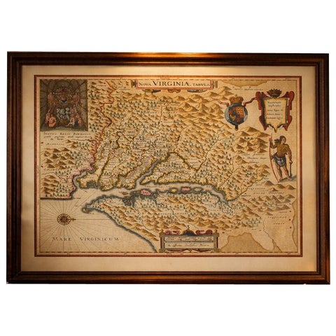
Antique Virginia Map Blaeu c.1642 – Jamestown, Powhatan, Chesapeake
1642 · Blaeu
$8,115
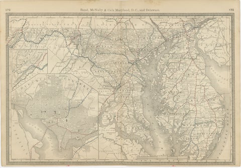
Maryland, D.C. & Delaware Antique Map  – Old Line State Railroads, c.1888
Maryland, D.C. & Delaware Antique Map – Old Line State Railroads, c.1888
1888 · Rand McNally
$515
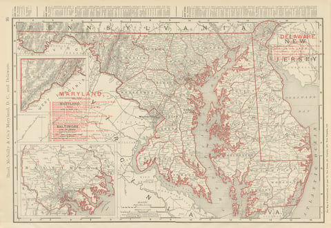
Antique Map of Maryland and Delaware, with Baltimore Inset, Rand McNally, 1899
1899 · Rand McNally
$385
Plan of Baltimore City Map, USA c.1870 – Hand-Colored Street Plan
1870
$360
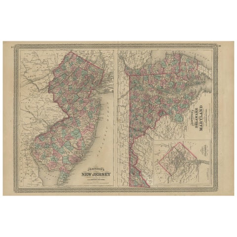
Antique Map of New Jersey, Delaware and Maryland by Johnson, 1872
1872 · A. J. Johnson
$335
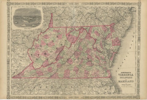
1864 Johnson's Map of Virginia, Delaware, and Maryland with Fort Monroe Inset
1864
$335
Delaware and Maryland Map – Johnson, Hand-Colored with Insets, 1864
1864
$300
Antique Map of Virginia, Delaware, Maryland & West Virginia by Johnson, 1872
1872 · A. J. Johnson
$280

Ask about this print

We reply by email, usually within one working day.

Your favorites

Saved in this browser. Email the list to yourself to keep it on any device.

We use your email to send this list and, only if you tick the box and confirm, for occasional new arrivals. Every email has an unsubscribe link. Bartele Gallery, the Netherlands.

Your bag

Total

Each piece is bought on its own; shipping is added at checkout.