



A Bartele Gallery CollectionLangweer · Jakarta

American Maps & Prints
Original antique maps, charts & prints of the Americas ★ Originals only


Home › The United States › Illinois
Antique Map of Chicago Railway Terminals, The Windy City, Rand McNally, 1899
1899 · Maps

Antique Map of Chicago Railway Terminals, The Windy City, Rand McNally, 1899

$440
€395 · dollar price at today's exchange rate

Buy now Ask a question

Shipping to the United States: $51 standard, $73 express, insured and tracked.

Date
1899
Maker
Rand McNally
Kind
Maps
Technique
Lithograph
Color
Printed color
Size
69 × 52 cm (27.2 × 20.5 in)
Condition
Good. Good condition for its age. Light, even age toning, minor wear to the right edge and the original central fold as issued. Please review the images for further condition details.
Period
The Gilded Age
Places
Illinois
Reference
BG-12793-2-41
What the condition grades mean
Excellent
Bright and clean, with no faults worth mentioning.
Very good
Only light signs of age, such as faint toning.
Good
Normal signs of age for a sheet of this period: toning, some foxing, small marks or neat old repairs.
Fair
Clear faults such as staining, tears or repairs, priced to match.

Every fault we see is written in the condition note, and the whole sheet is shown uncropped in the photos.

Guaranteed original. This is an original of the period stated, not a later reproduction or print-on-demand copy. If it is ever shown to be otherwise, we refund you in full.
Shipping to the United States. Sent from our gallery in Langweer, the Netherlands, flat between boards or rolled in a tube, and fully insured. Delivery and import charges.

About this piece

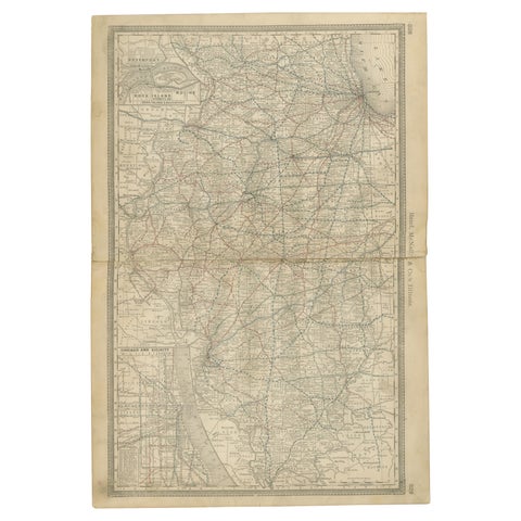
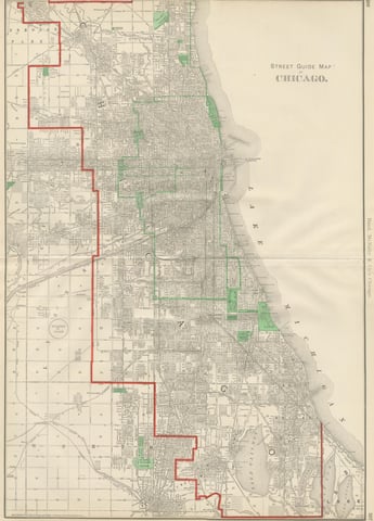
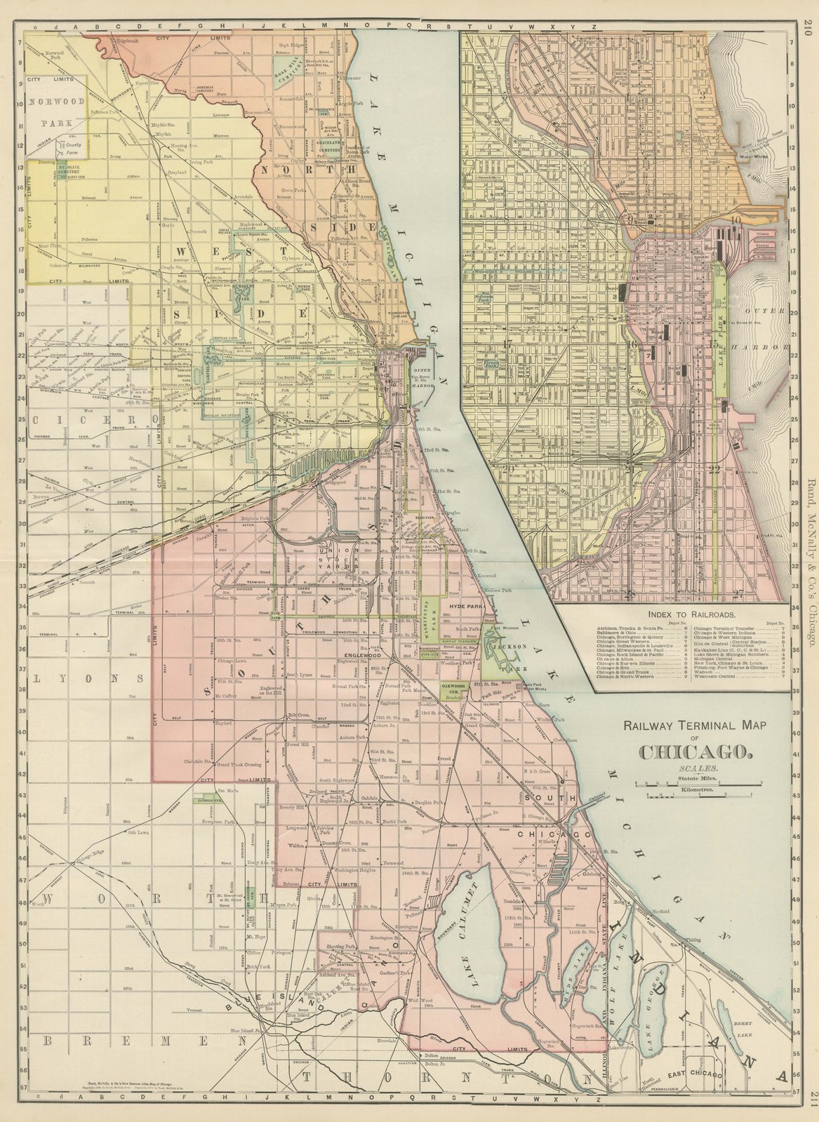
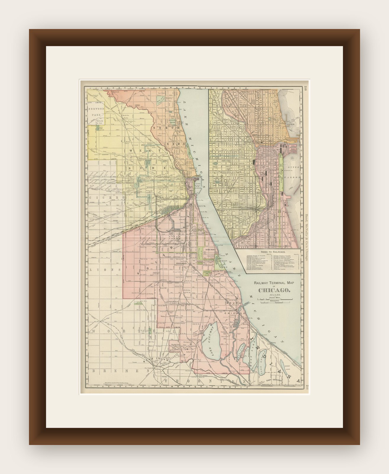
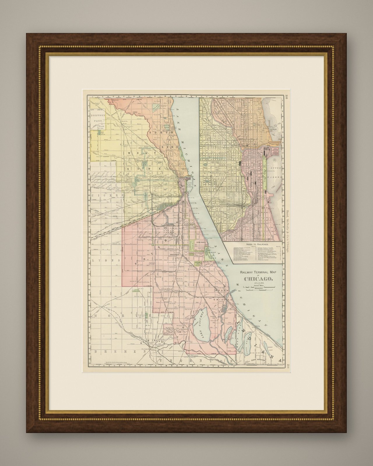
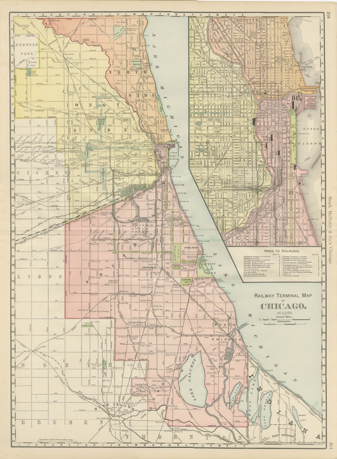
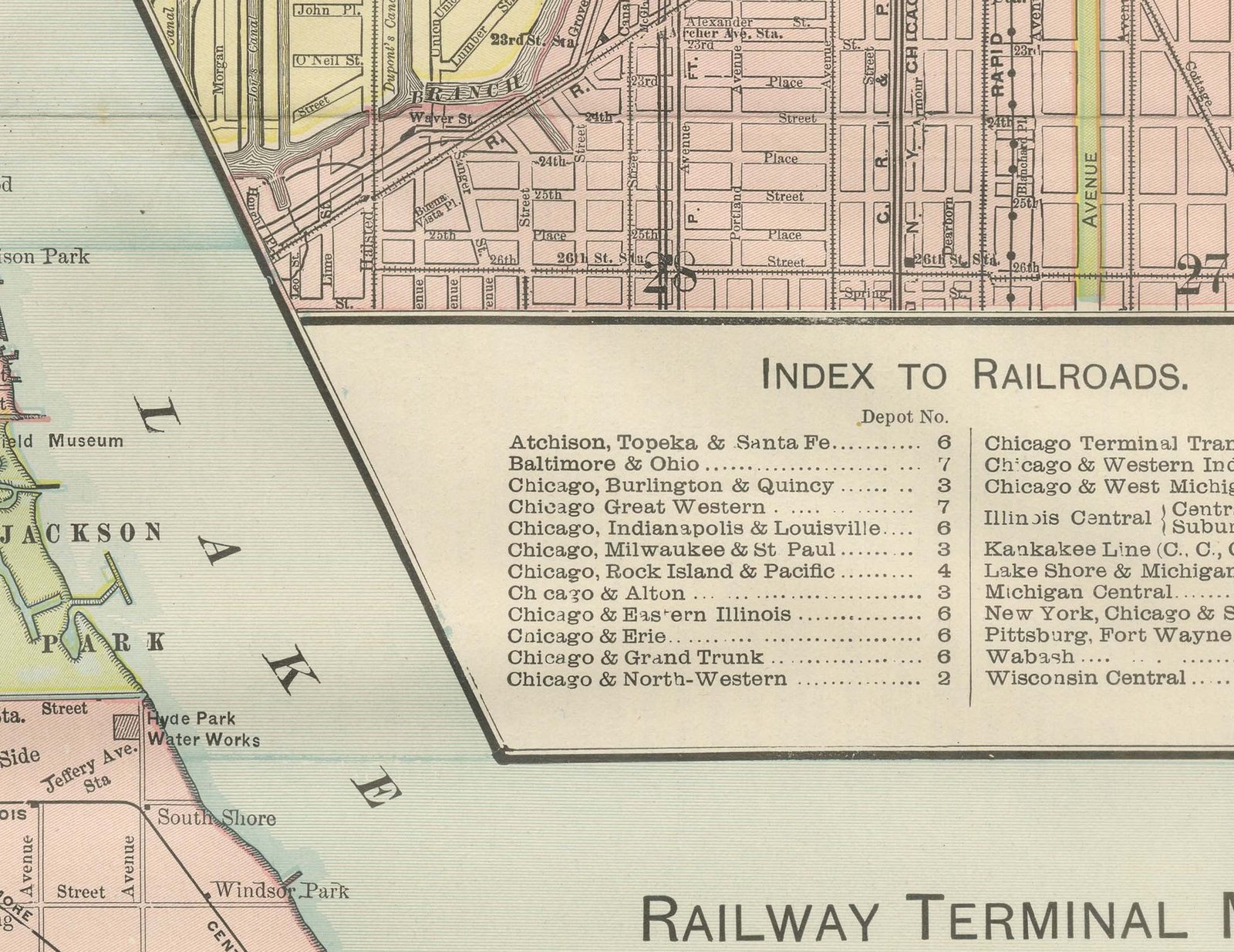
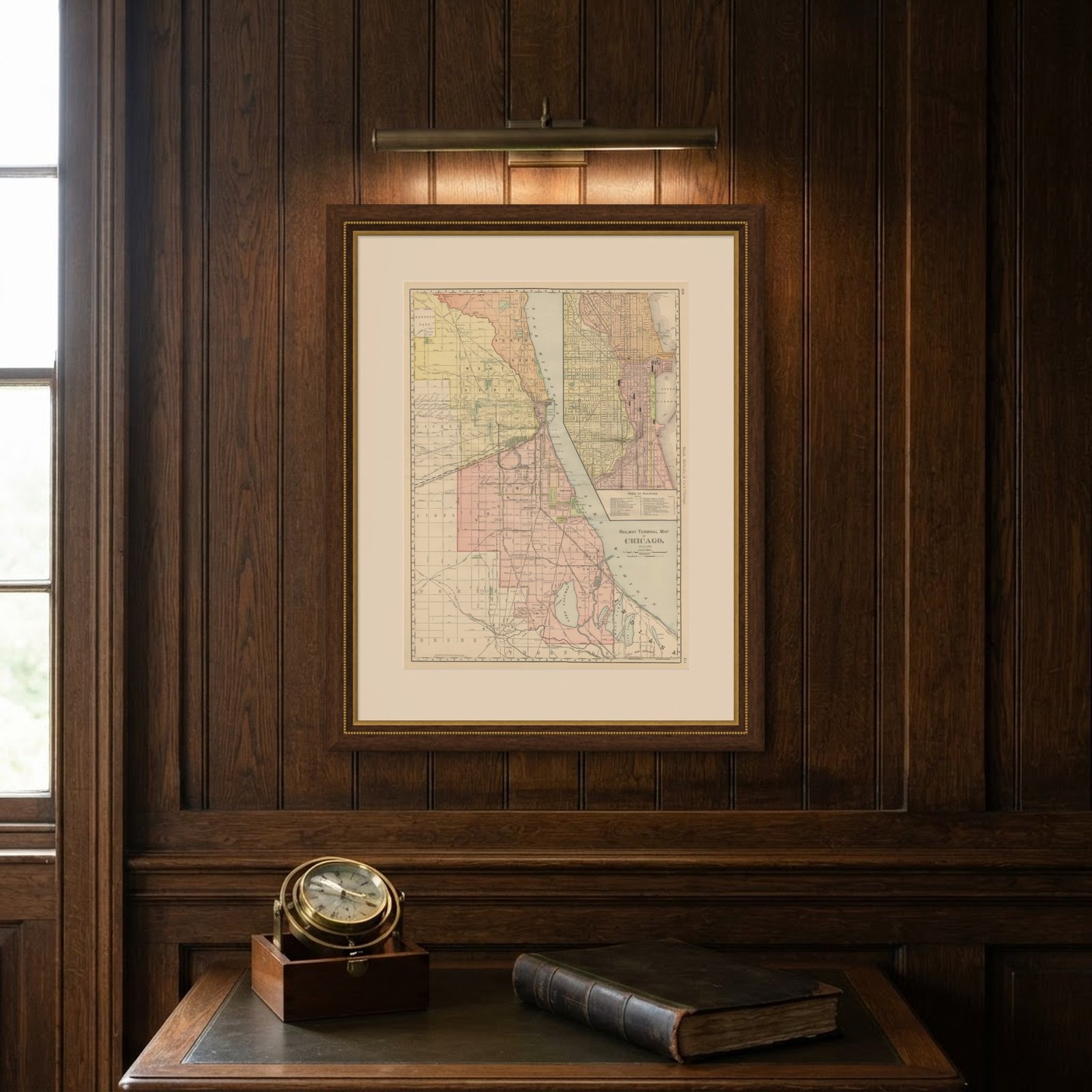
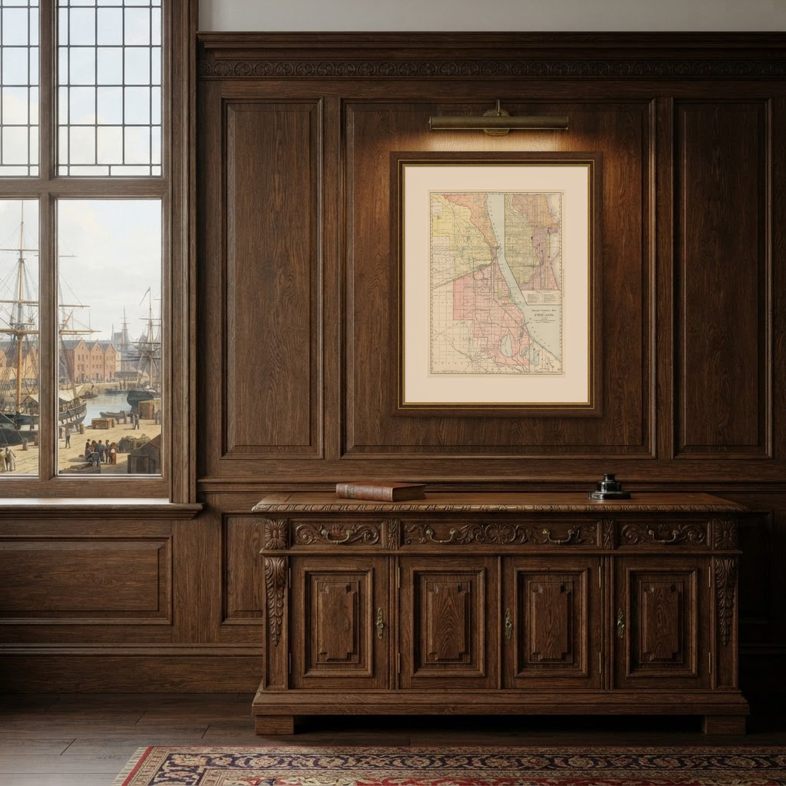
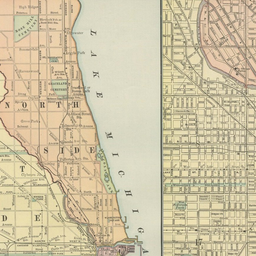
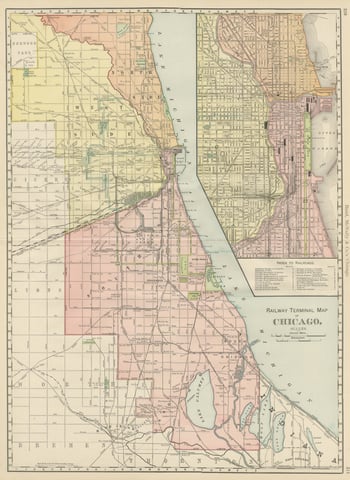
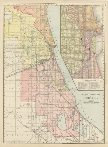
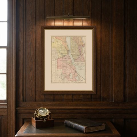
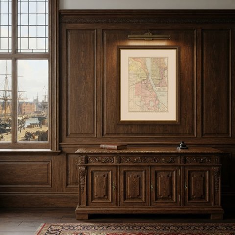
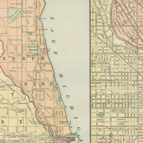
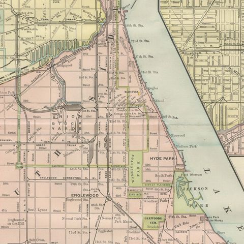
A companion to the street guide, this antique map of Chicago is the "Railway Terminal Map of Chicago" from the Rand McNally indexed atlas of 1899, a double-page sheet on pages 210 and 211 organized to show how the city's many lines converged on its downtown terminals.

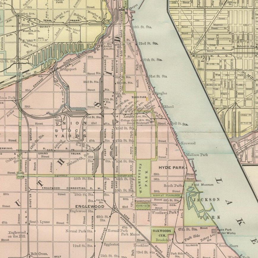
The South Side, from Hyde Park and Englewood down through Pullman to the Indiana state line, is mapped in the greatest detail, with individual rail yards, the Union Stock Yards and the numerous belt and terminal lines, the Chicago Terminal Transfer, the Belt Railway and the Kankakee Belt among them, all traced and color-coded by company. Lake Calumet and the industrial Calumet district, already home to steelworks and rail yards, occupy the lower right portion of the main map.

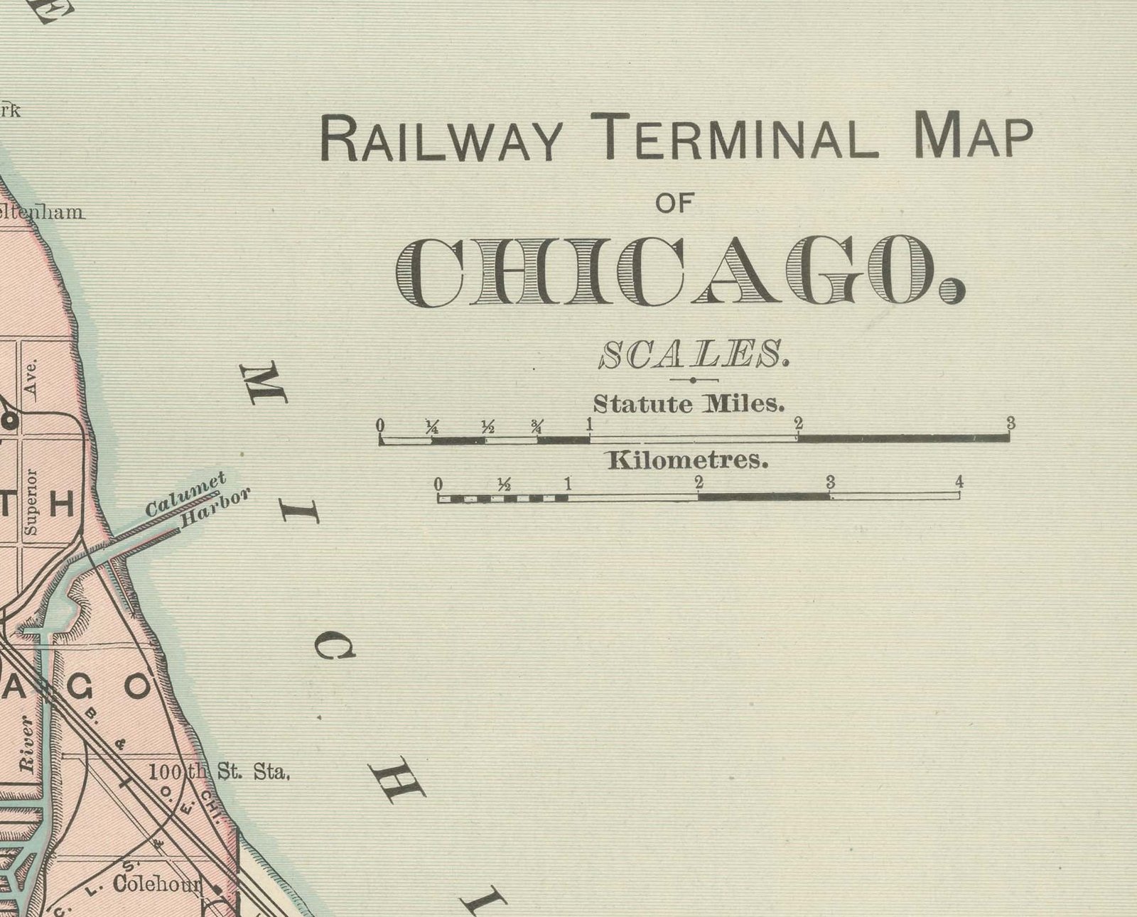
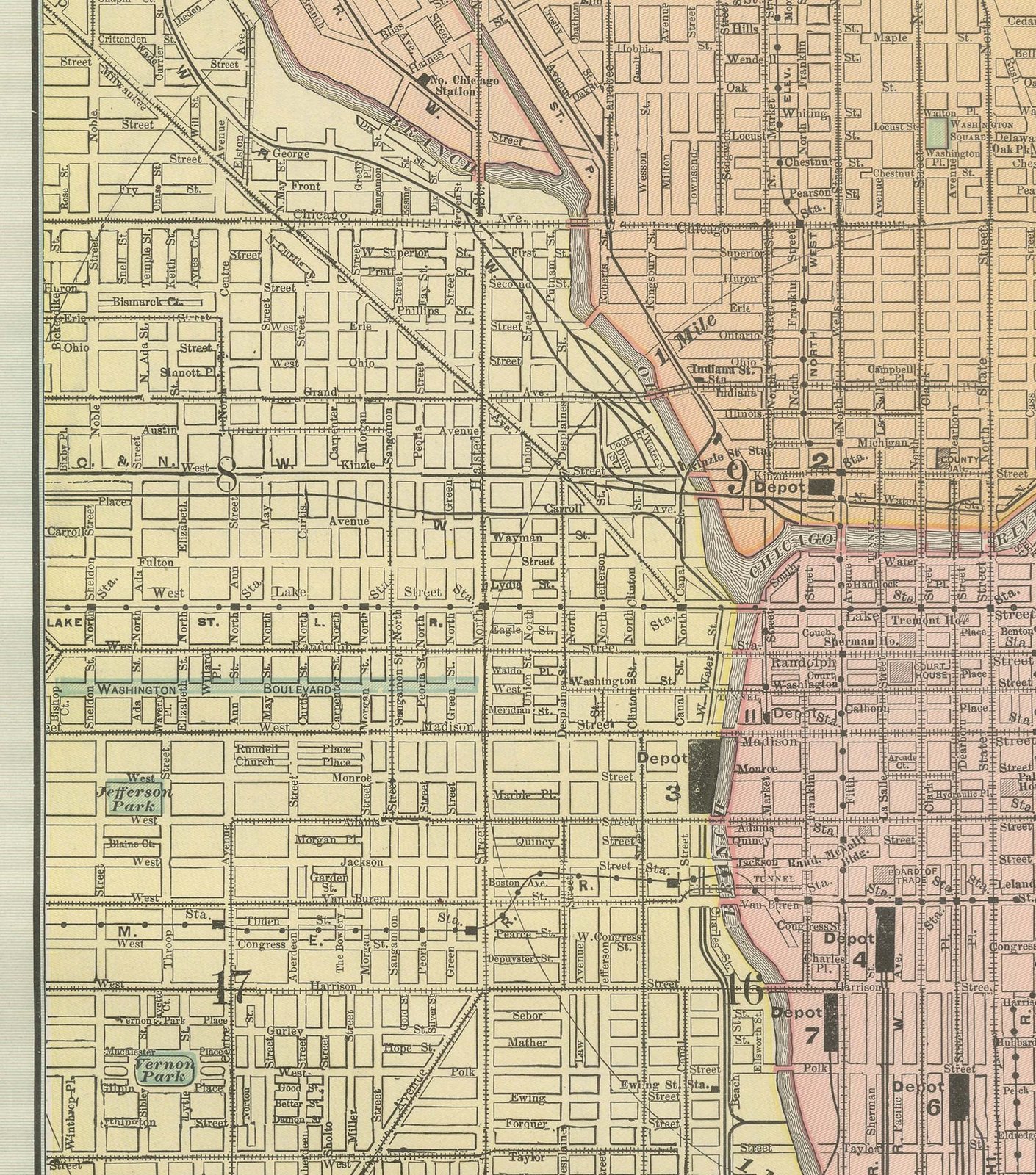
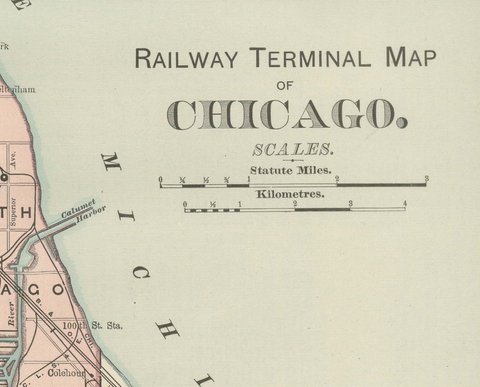
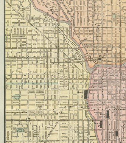
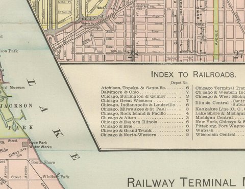
An inset at upper right enlarges the Loop and the near North and South Sides, with an accompanying "Index to Railroads" keying each depot number to its operating company, the Atchison, Topeka and Santa Fe, the Baltimore and Ohio, the Chicago and Western Indiana and a dozen others, so a traveler could see at a glance which downtown terminal served which line. Scale is given in statute miles and kilometers at lower right. The sheet's purpose was practical: helping a traveler or shipper find the way through Chicago's uniquely complex terminal geography, the railroad subject for which its publisher was best known.

The publisher, Rand, McNally and Company of Chicago, began as a printing business founded by William Rand in the 1850s and joined by Andrew McNally. By the time of the 1899 indexed atlas it ranked among the leading American map publishers, known above all for railroad and commercial maps that were revised from one issue to the next.

The sheet is a color lithograph, the outline printed in black and every color printed over it rather than applied by hand. Once framed, this antique map of Chicago would suit a home or office in the city today, and it will appeal to collectors of American city plans and local history.

The sheet is in good condition for its age, with light, even age toning, minor wear to the right edge and the original central fold as issued. Please review the images for further condition details.

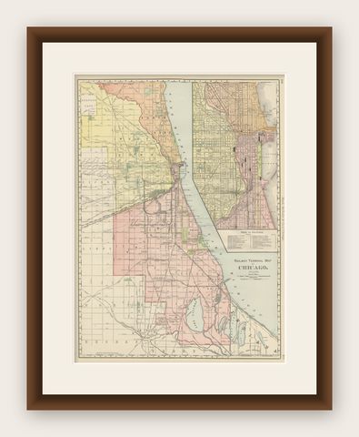
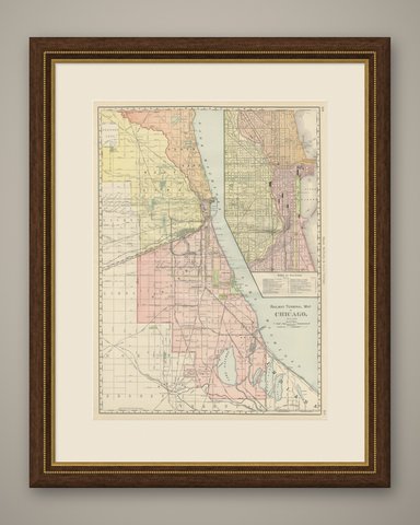
This is an original antique map, not a modern reproduction. This item is sold unframed.

★

More of Illinois


Antique Map of the Coal Fields of the United States by Walker '1874'
1874
$760
Antique Albumen Print of The Palmer House, Chicago 'c.1890'
1890
$670
Detailed Antique Map of Illinois – Railroads, Cities & Counties, 1888
1888 · Rand McNally
$535
Antique Street Map of Chicago, with the Loop and Lakefront, Rand McNally, 1899
1899 · Rand McNally
$500
Antique Map of Illinois, The Prairie State, Rand McNally, 1899
1899 · Rand McNally
$440
Antique Map of the Central United States, Chicago to Denver, Rand McNally, 1899
1899 · Rand McNally
$440
Johnson’s Illinois Map, USA c.1864 – Hand-Colored with Chicago Courthouse View
1864
$300
Antique Chicago Map Wall Art – Railroads, Lake Michigan & City Grid, ca.1888
1888 · Rand McNally
$290

Ask about this print

We reply by email, usually within one working day.

Your favorites

Saved in this browser. Email the list to yourself to keep it on any device.

We use your email to send this list and, only if you tick the box and confirm, for occasional new arrivals. Every email has an unsubscribe link. Bartele Gallery, the Netherlands.

Your bag

Total

Each piece is bought on its own; shipping is added at checkout.