Original antique maps & prints of
Illinois
★ 14 original pieces ★
Admitted in 1818, Illinois grew around Chicago, which by the 1880s was the railroad capital of the country. We currently hold 14 original sheets of Illinois, published between 1854 and 1899. Of these, 12 are maps and 2 are views and prints. The earliest is Antique Mississippi River View – Alton Illinois Steel Engraving, Meyers 1854.

Antique Map of the Coal Fields of the United States by Walker '1874'
1874
$760
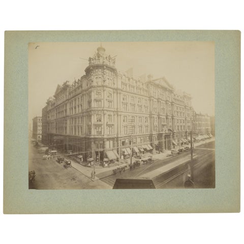
Antique Albumen Print of The Palmer House, Chicago 'c.1890'
1890
$670
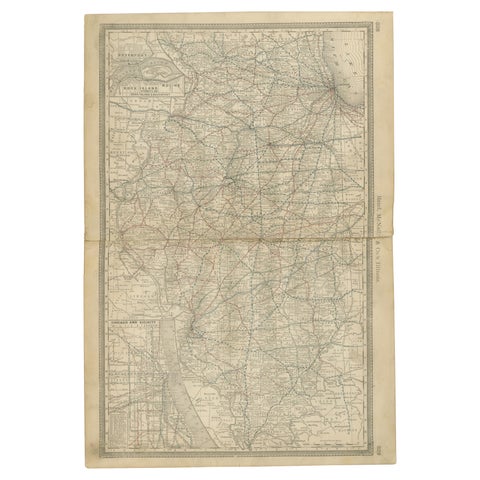
Detailed Antique Map of Illinois – Railroads, Cities & Counties, 1888
1888 · Rand McNally
$535
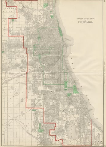
Antique Street Map of Chicago, with the Loop and Lakefront, Rand McNally, 1899
1899 · Rand McNally
$500
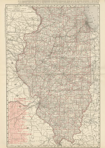
Antique Map of Illinois, The Prairie State, Rand McNally, 1899
1899 · Rand McNally
$440
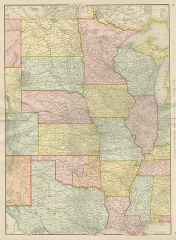
Antique Map of the Central United States, Chicago to Denver, Rand McNally, 1899
1899 · Rand McNally
$440
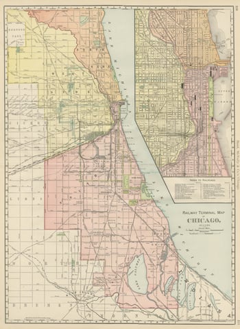
Antique Map of Chicago Railway Terminals, The Windy City, Rand McNally, 1899
1899 · Rand McNally
$440
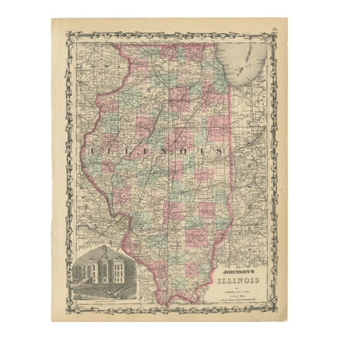
Johnson’s Illinois Map, USA c.1864 – Hand-Colored with Chicago Courthouse View
1864
$300
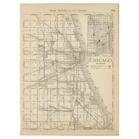
Antique Chicago Map Wall Art – Railroads, Lake Michigan & City Grid, ca.1888
1888 · Rand McNally
$290
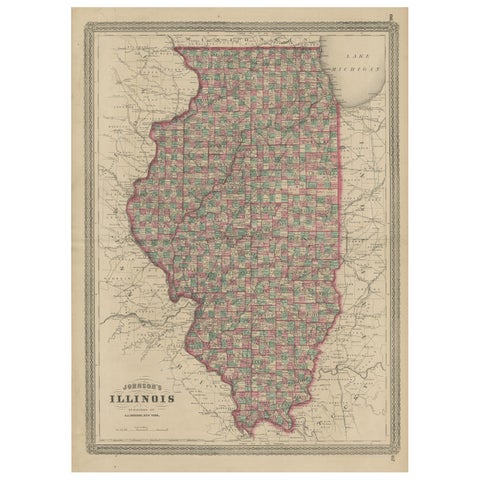
Antique Map of Illinois by Johnson, 1872
1872 · A. J. Johnson
$280
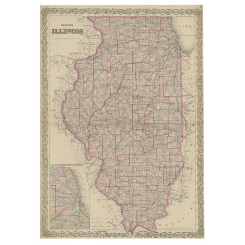
Colton's Map of Illinois, with an Inset of Chicago
J. H. Colton
$270
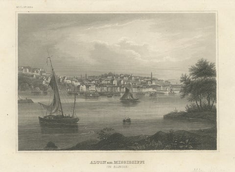
Antique Mississippi River View – Alton Illinois Steel Engraving, Meyers 1854
1854 · Meyer
$245
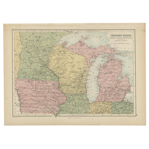
Antique Map of Western States, Michigan, Wisconsin, Iowa by A & C. Black, 1870
1870 · Adam & Charles Black
$195
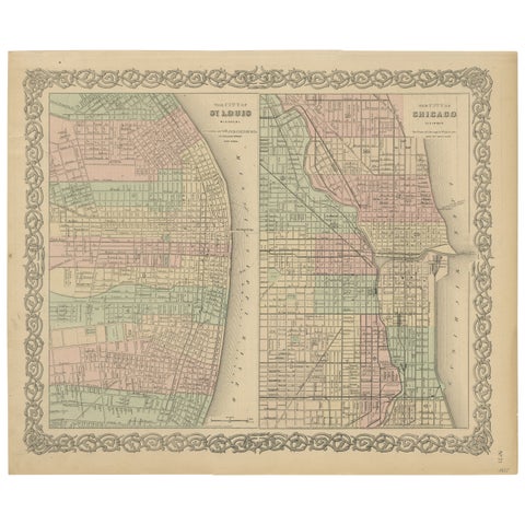
Antique Map of St. Louis and Chicago
1855 · J. H. Colton
$170
★
More of The Midwest