







A Bartele Gallery CollectionLangweer · Jakarta

American Maps & Prints
Original antique maps, charts & prints of the Americas ★ Originals only


Home › The United States › Hawaii
Antique Map of Hawaii, with Oahu and Honolulu, Rand McNally, 1899
1899 · Maps

Antique Map of Hawaii, with Oahu and Honolulu, Rand McNally, 1899

$500
€445 · dollar price at today's exchange rate

Buy now Ask a question

Shipping to the United States: $51 standard, $73 express, insured and tracked.

Date
1899
Maker
Rand McNally
Kind
Maps
Technique
Lithograph
Color
Printed color
Size
52 × 36 cm (20.5 × 14.2 in)
Condition
Good. Good condition for its age. Light age toning, deeper toward the sheet edges, a few small spots and minor edge wear. Please review the images for further condition details.
Period
The Gilded Age
Places
Hawaii
Reference
BG-12793-2-75
What the condition grades mean
Excellent
Bright and clean, with no faults worth mentioning.
Very good
Only light signs of age, such as faint toning.
Good
Normal signs of age for a sheet of this period: toning, some foxing, small marks or neat old repairs.
Fair
Clear faults such as staining, tears or repairs, priced to match.

Every fault we see is written in the condition note, and the whole sheet is shown uncropped in the photos.

Guaranteed original. This is an original of the period stated, not a later reproduction or print-on-demand copy. If it is ever shown to be otherwise, we refund you in full.
Shipping to the United States. Sent from our gallery in Langweer, the Netherlands, flat between boards or rolled in a tube, and fully insured. Delivery and import charges.
About this piece

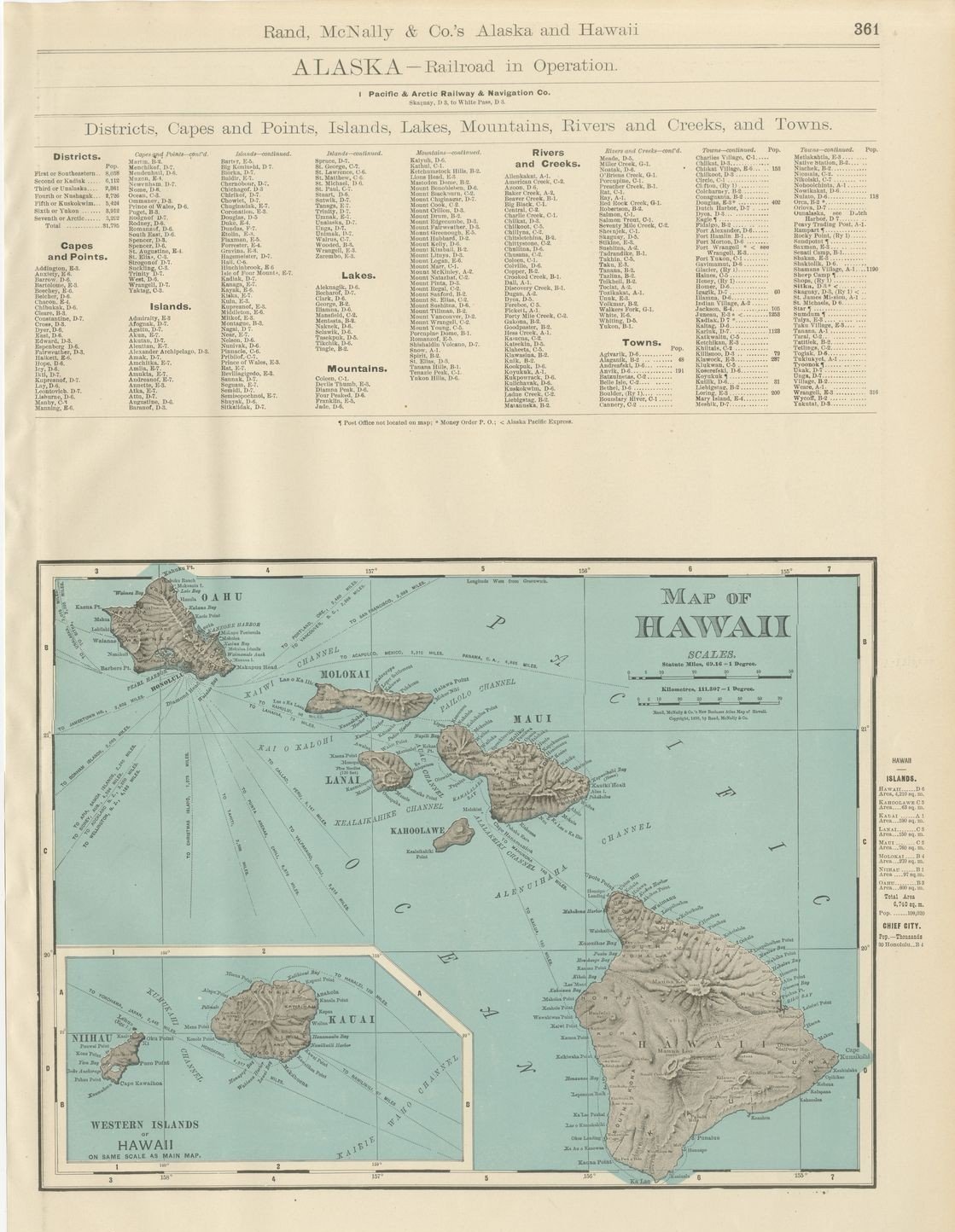
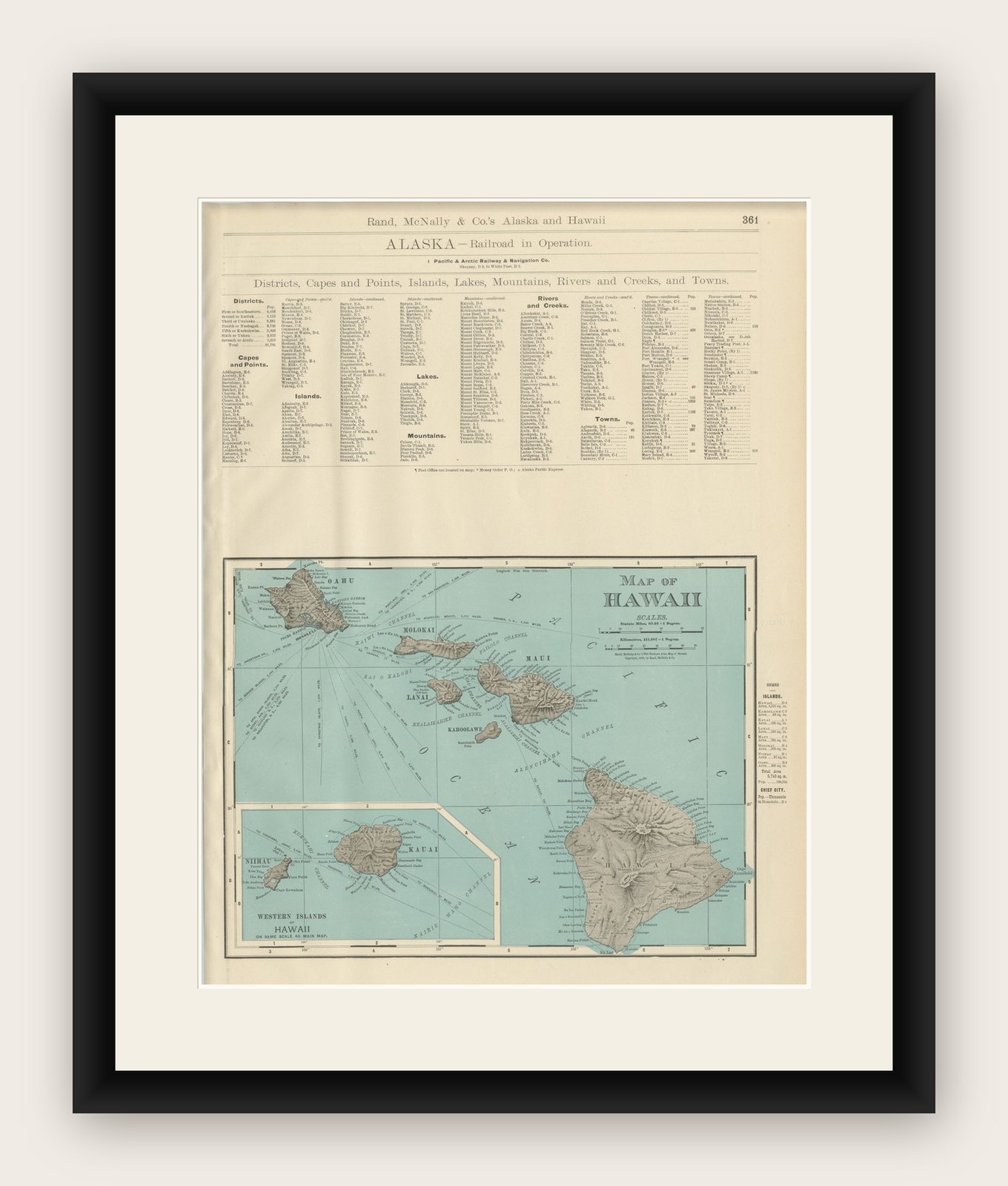
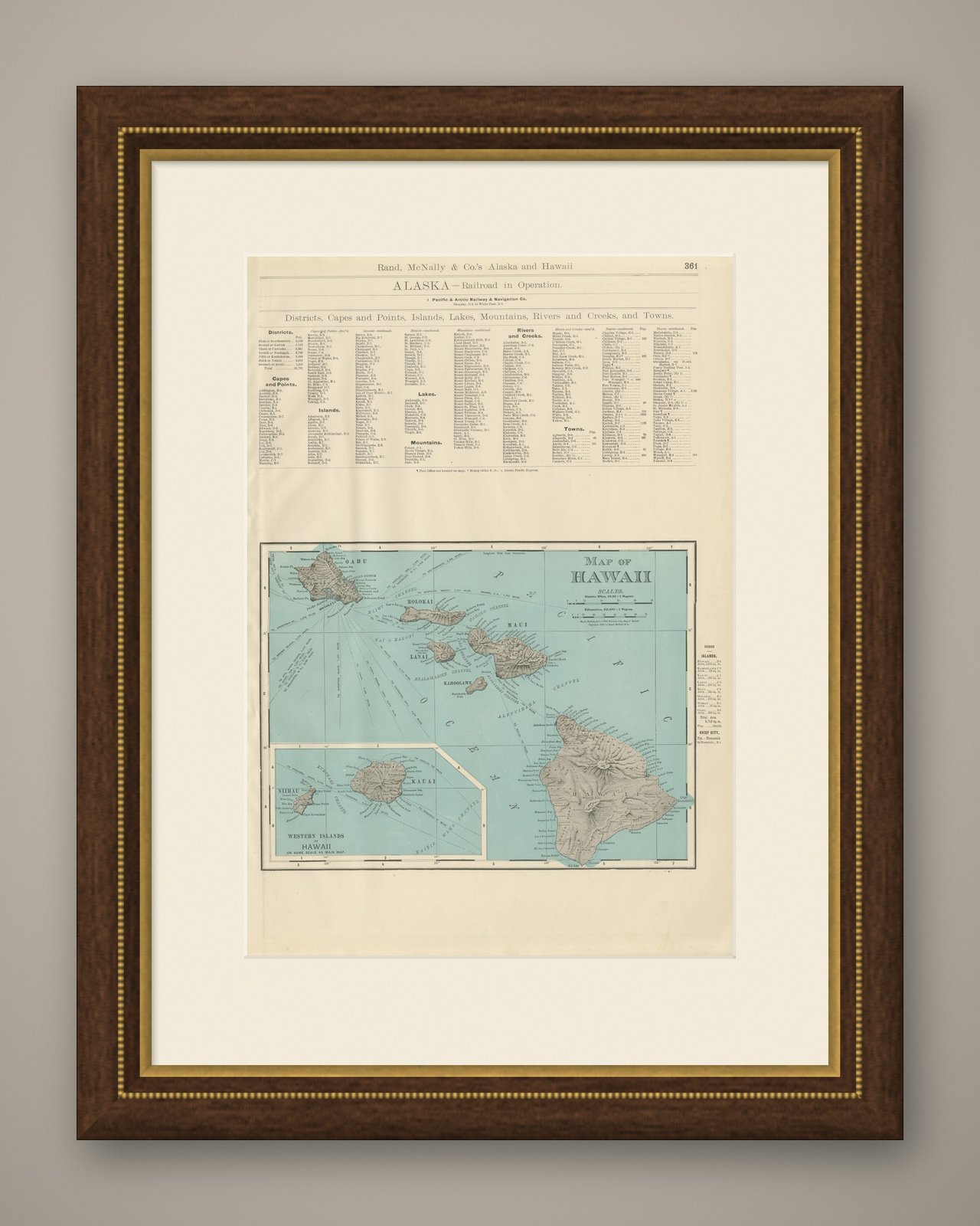
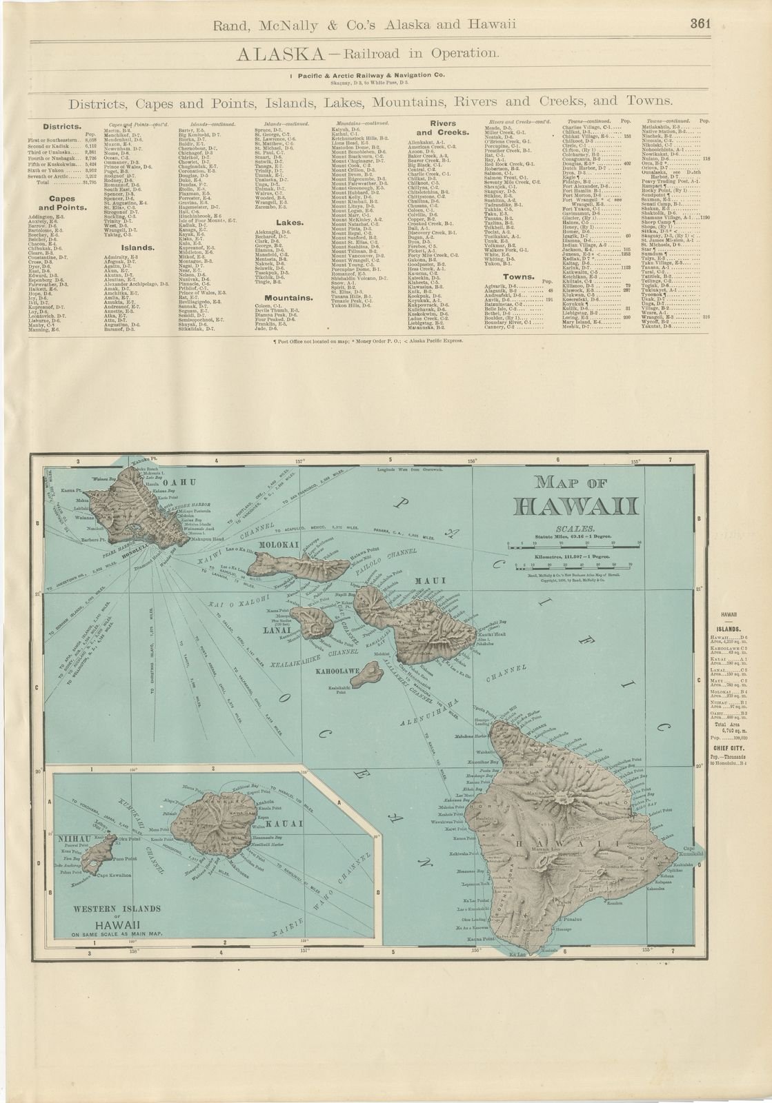
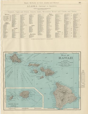
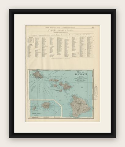
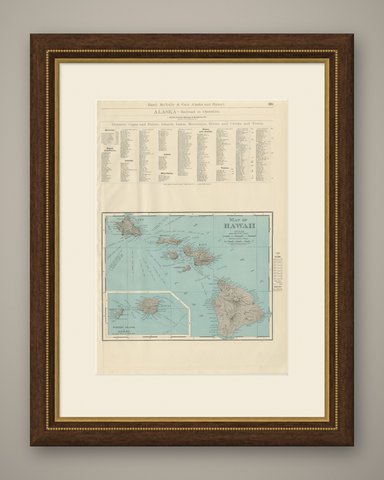
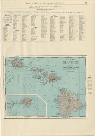
Rand McNally's antique map of Hawaii, published in 1899 on page 361 of the firm's indexed atlas, shares a composite sheet with an Alaska index page. The upper half is a dense, small-type gazetteer headed "Alaska, Railroad in Operation," listing the single line then running, the Pacific and Arctic Railway and Navigation Company from Skaguay to White Pass, followed by multi-column indexes of Alaska's districts, capes and points, islands, lakes, mountains, rivers and creeks, and towns, each with a population figure and a grid reference back to the Alaska sheet elsewhere in the volume. This index apparatus, unusual to find surviving intact on a sheet cataloged under Hawaii, is exactly the supporting material that made the atlas indexed rather than simply a bound set of maps.

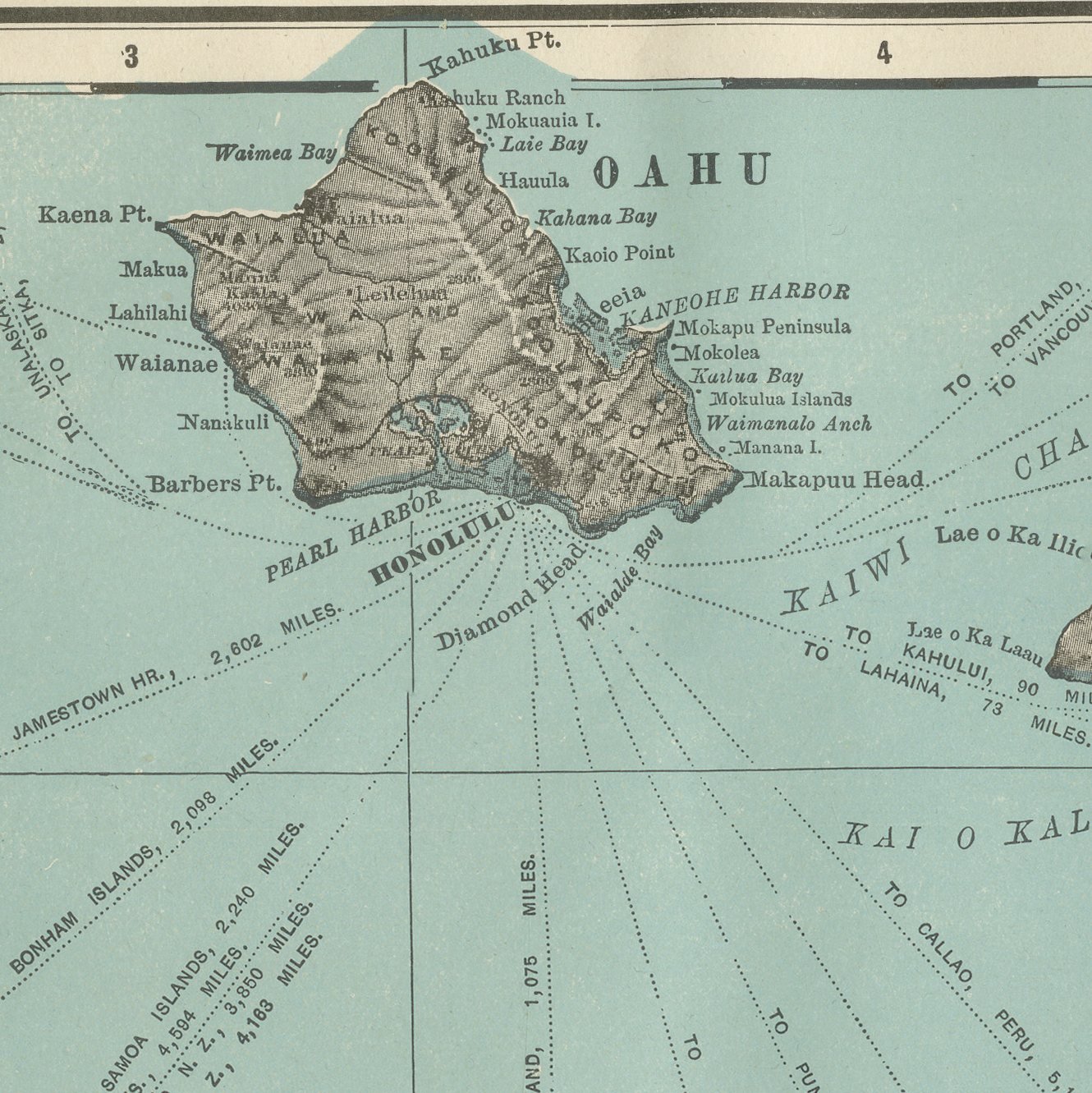
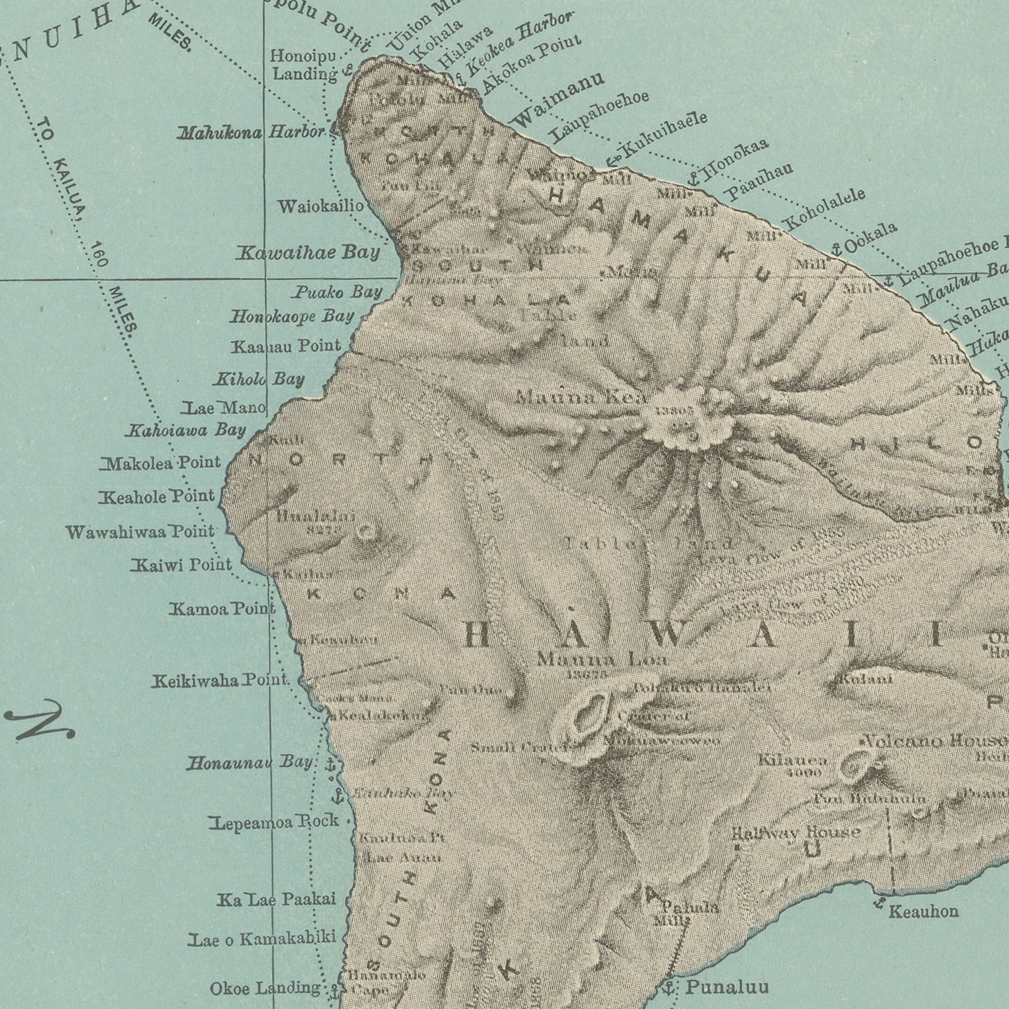
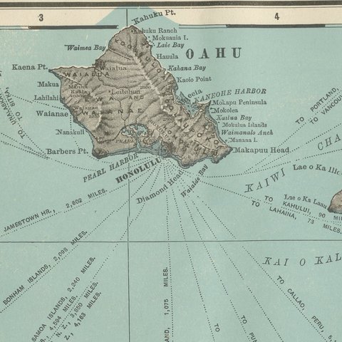
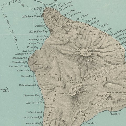
The lower half carries the "Map of Hawaii," the principal subject of the plate. The main islands, Hawaii itself with Mauna Loa shaded in relief, Maui, Molokai, Lanai and Oahu with Honolulu marked on its southern shore, are laid out west to east in teal ocean color with brown hachured relief on the land. A boxed inset at lower left, "Western Islands of Hawaii, on Same Scale as Main Map," adds Kauai and Niihau, which fall outside the main frame, and a small table at right records the area and population of each island and gives the population of Honolulu as the territory's only chief city.

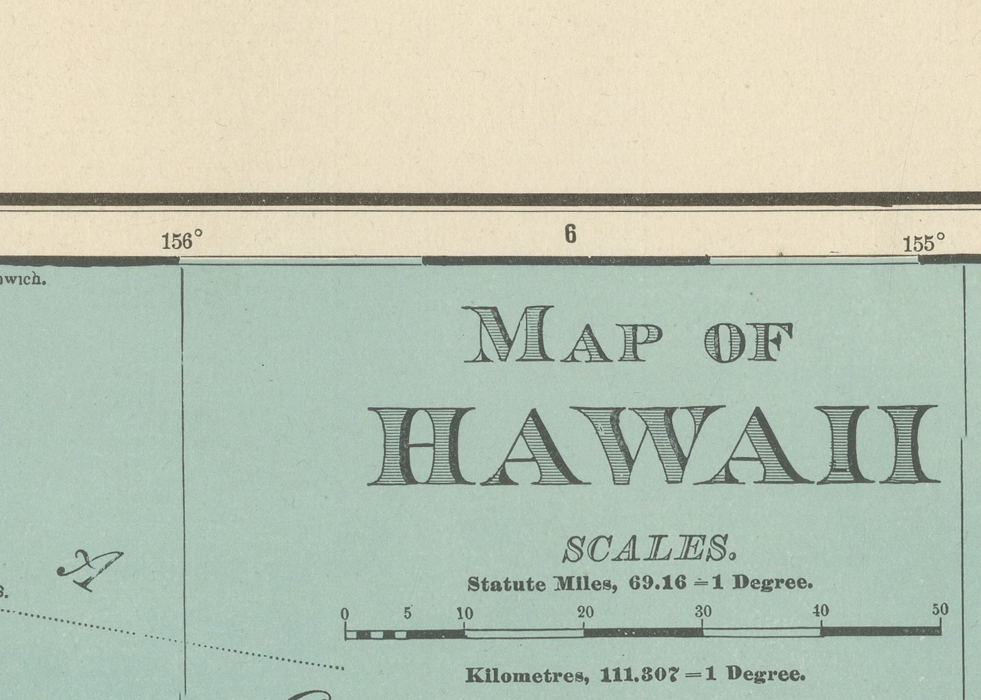
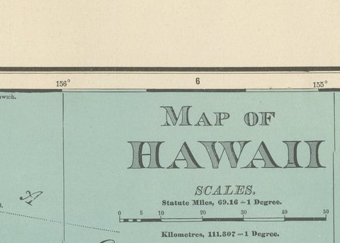
Scale is given as 69.16 statute miles to a degree. Hawaii had been annexed by the United States in 1898, only the year before this atlas was issued, so the sheet is an early example of the new territory brought into the standard state-and-territory format, complete with its own population tables, only months after annexation.

Rand McNally, a Chicago firm that by the 1890s was one of the leading map publishers in the United States, printed this antique map of Hawaii as a color lithograph, the outline in black with the colors printed over it. It is an original 1899 atlas sheet, and it is suitable for framing. The color is printed rather than applied by hand.

The sheet is in good condition for its age, with light age toning, deeper toward the sheet edges, a few small spots and minor edge wear. Please review the images for further condition details.

This is an original antique map, not a modern reproduction. This item is sold unframed.

★

More of Hawaii


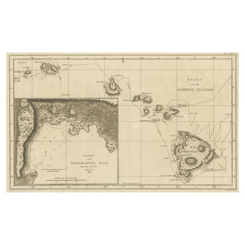
Map of the Hawaiian Islands with a Large Inset of Karakakooa Bay, 1803
1803
$2,520
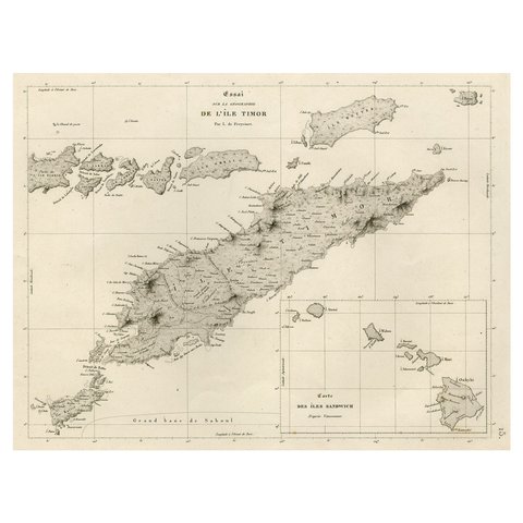
Rare Antique Map with Timor and Nearby Islands Plus an Inset of Hawaii, 1825
1825
$950
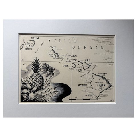
Original Illustration Map of Hawaii by Charles Burki, ca. 1948 – Ink Drawing
1948
$885
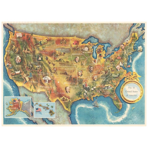
American Election Map and 1960 Presidential Fact Sheet, Published 1960
1960
$670
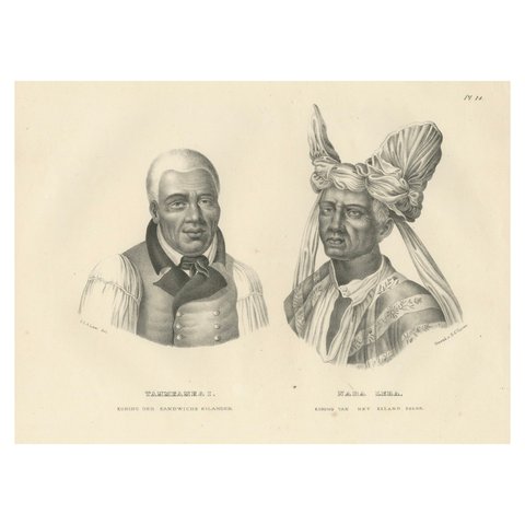
Portraits of Tammeamea I of Hawaii and Naba Leba of Solor by Brodtmann, 1836
1836
$570
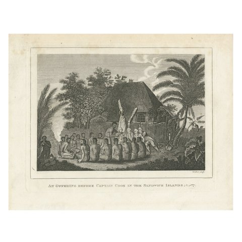
The Ceremonial Offering to Captain Cook in Hawaii, Engraved in 1778
1778 · Captain Cook voyages
$550
Inhabitants of the Sandwich Islands (Hawaii) by Brodtman, 1835
1835
$490
Engraving of The Death of Captain James Cook at Kealakekua Bay, Hawaii, 1784
1784 · Captain Cook voyages
$470

Ask about this print

We reply by email, usually within one working day.

Your favorites

Saved in this browser. Email the list to yourself to keep it on any device.

We use your email to send this list and, only if you tick the box and confirm, for occasional new arrivals. Every email has an unsubscribe link. Bartele Gallery, the Netherlands.

Your bag

Total

Each piece is bought on its own; shipping is added at checkout.