



A Bartele Gallery CollectionLangweer · Jakarta

American Maps & Prints
Original antique maps, charts & prints of the Americas ★ Originals only


Home › The United States › Kentucky
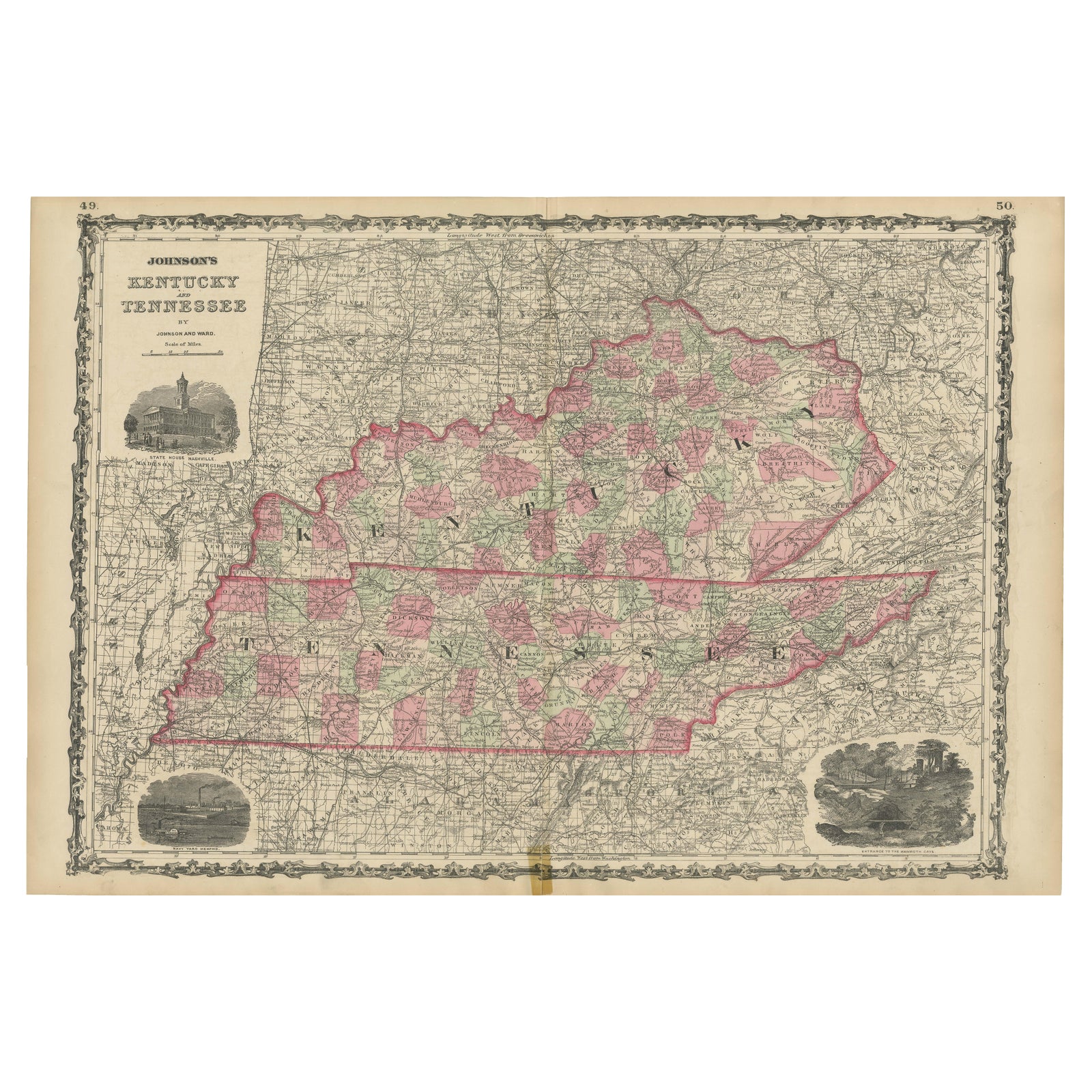
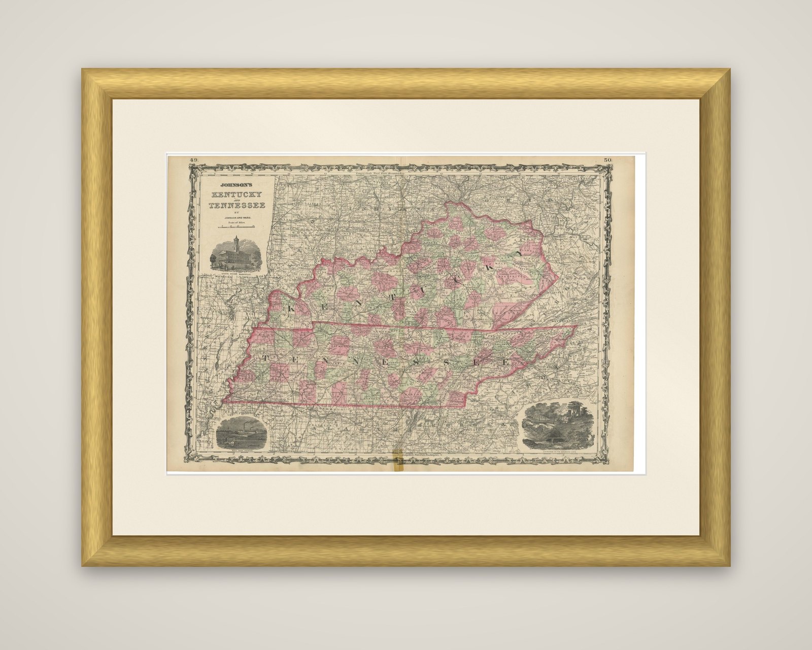
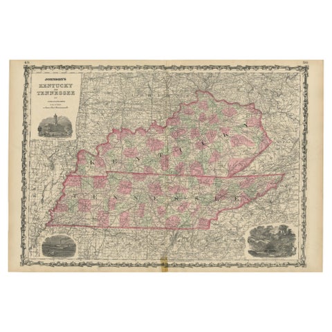
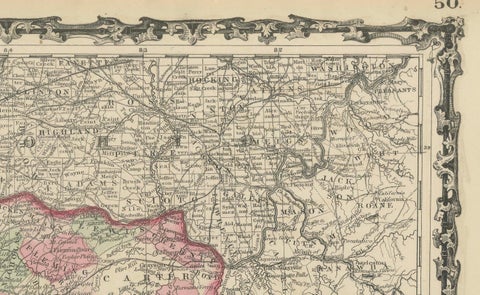
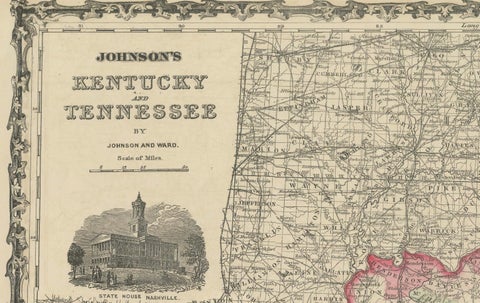
Civil War Era Map of Kentucky and Tennessee with Scenic Insets, Published 1864
1864 · Maps

Civil War Era Map of Kentucky and Tennessee with Scenic Insets, Published 1864

$380
€340 · dollar price at today's exchange rate

Buy now Ask a question

Shipping to the United States: $51 standard, $73 express, insured and tracked.

Date
1864
Kind
Maps
Size
45.7 × 67 cm (18 × 26.4 in)
Condition
Good. Map is in good condition for its age, with light toning and minor foxing along the edges. There are small tears at the fold lines, but no major losses. Small tape remain at bottom. Colors remain vivid, and the paper shows slight wear but is intact.
Period
Westward Expansion & Civil War
Places
Kentucky, Tennessee
Reference
BG-13952-15
What the condition grades mean
Excellent
Bright and clean, with no faults worth mentioning.
Very good
Only light signs of age, such as faint toning.
Good
Normal signs of age for a sheet of this period: toning, some foxing, small marks or neat old repairs.
Fair
Clear faults such as staining, tears or repairs, priced to match.

Every fault we see is written in the condition note, and the whole sheet is shown uncropped in the photos.

Guaranteed original. This is an original of the period stated, not a later reproduction or print-on-demand copy. If it is ever shown to be otherwise, we refund you in full.
Shipping to the United States. Sent from our gallery in Langweer, the Netherlands, flat between boards or rolled in a tube, and fully insured. Delivery and import charges.

About this piece

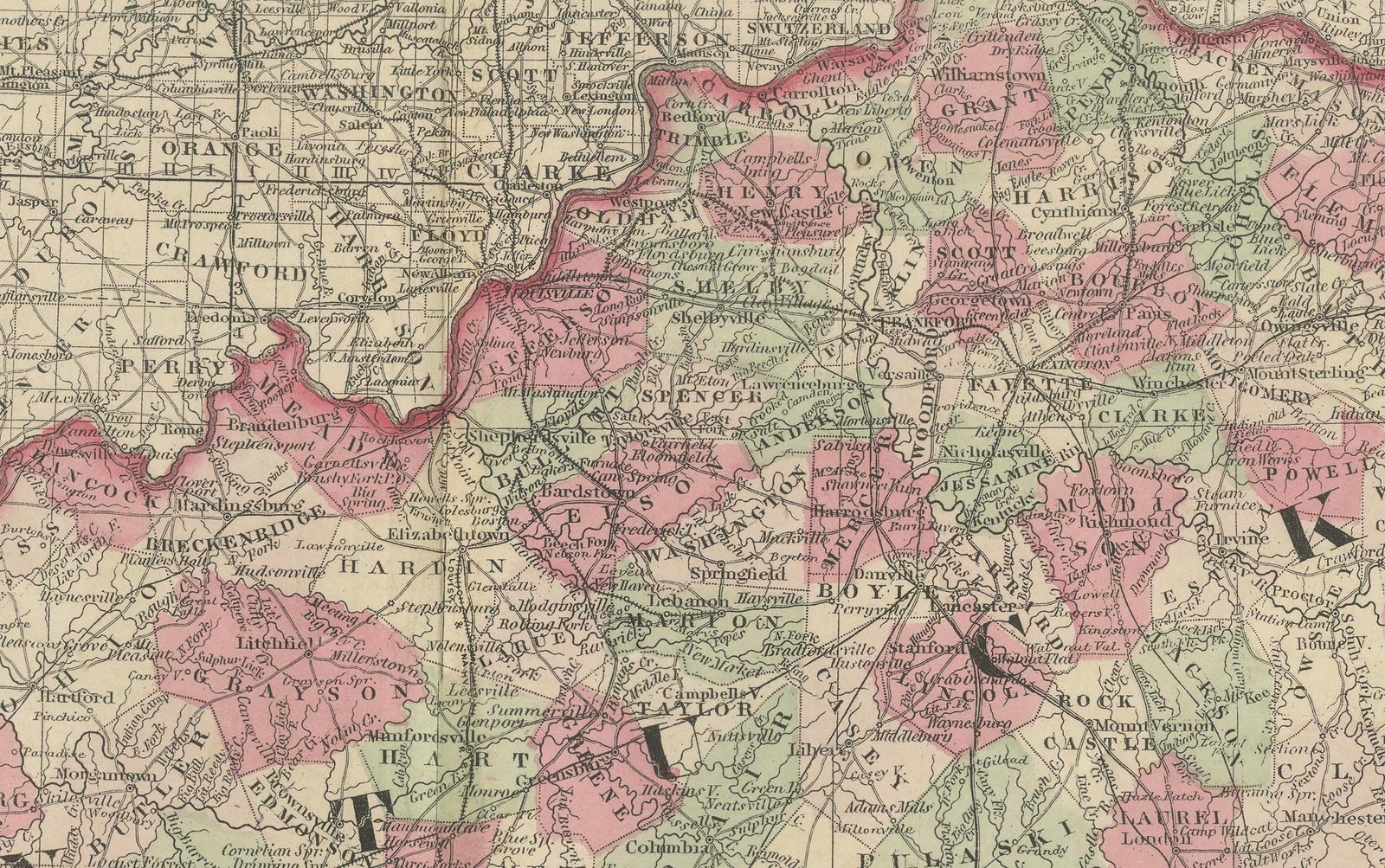
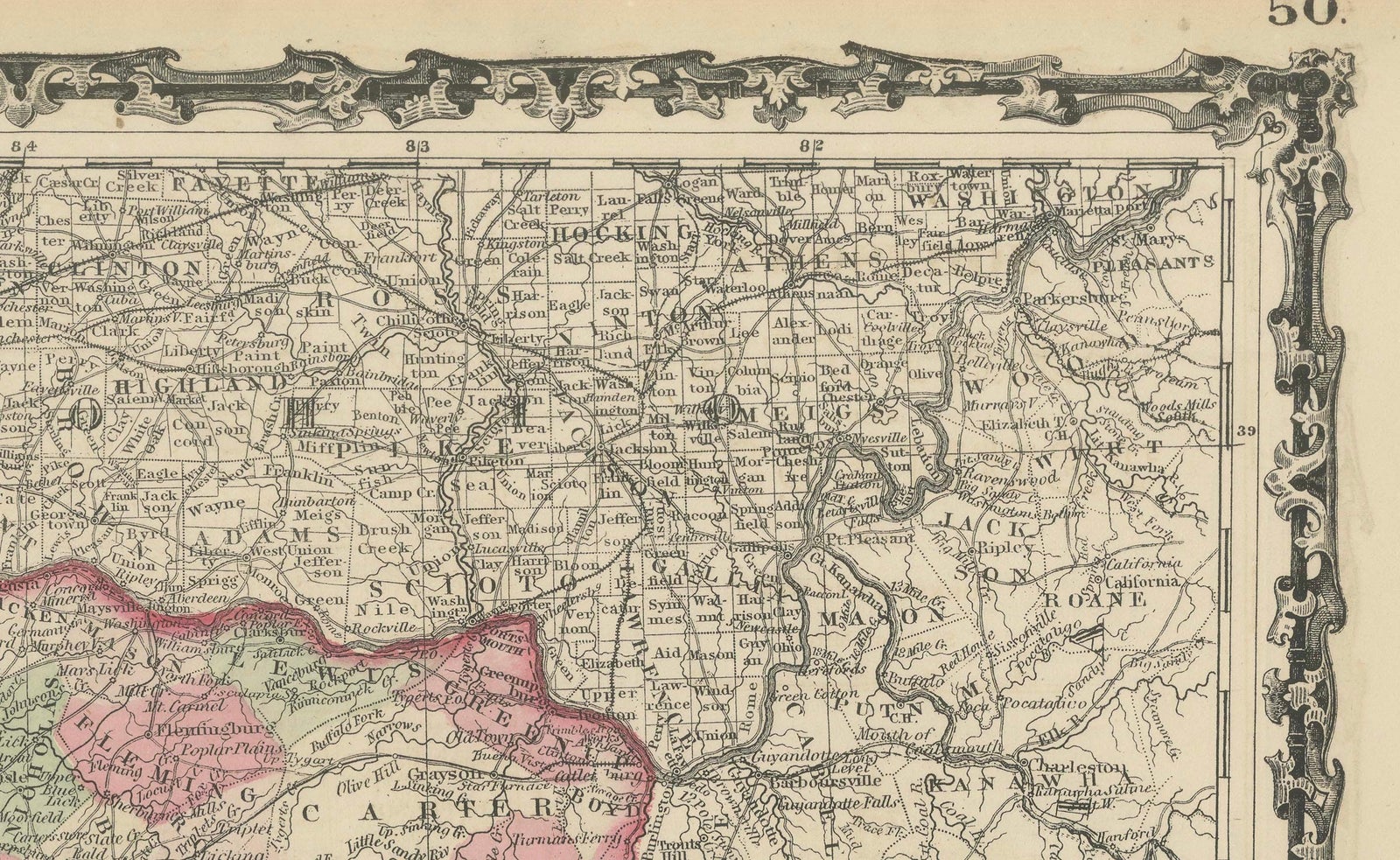
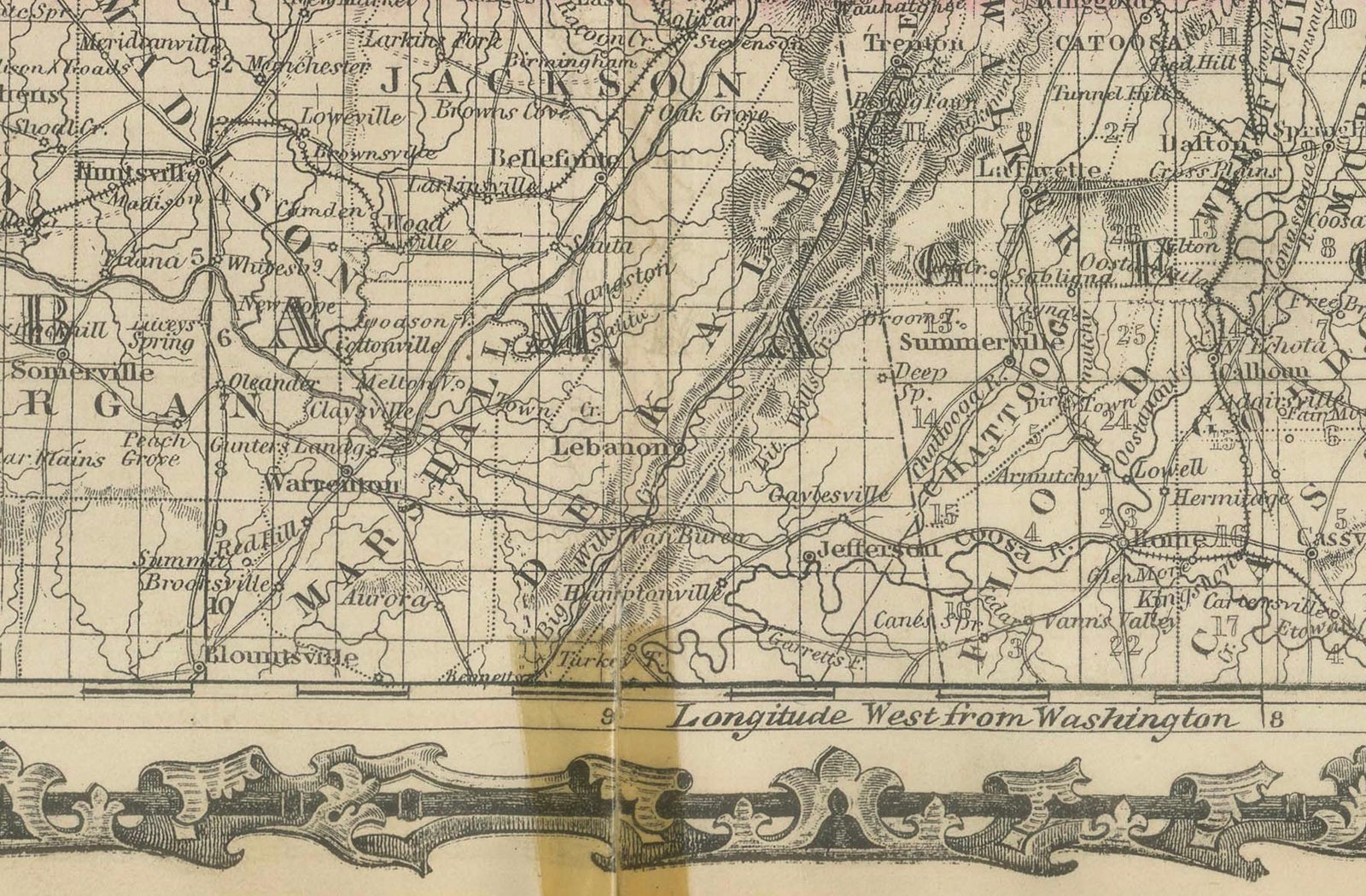
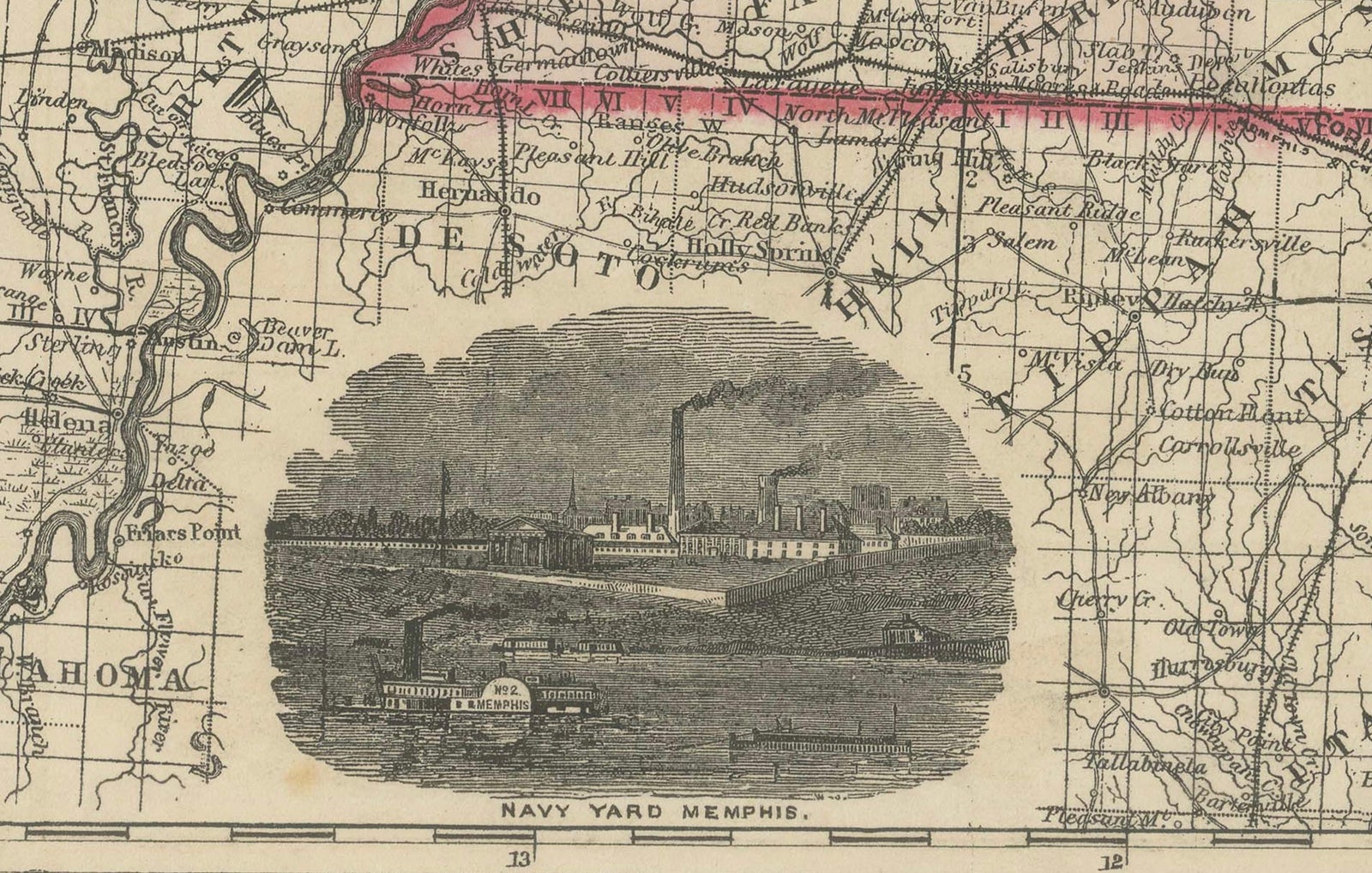
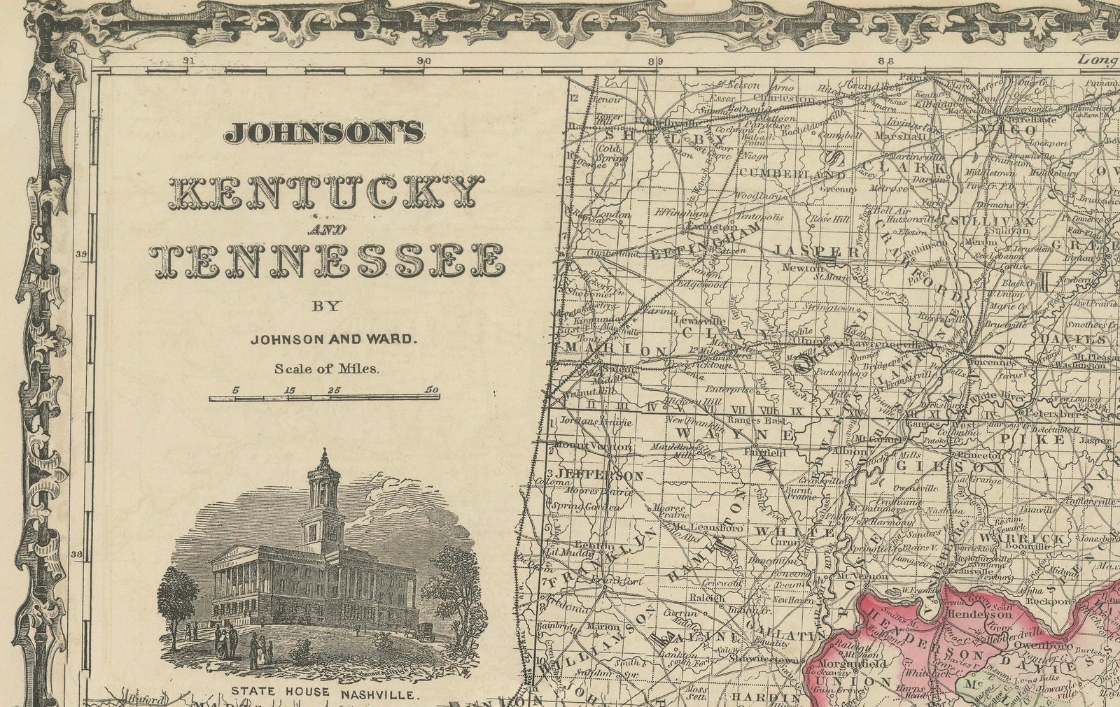
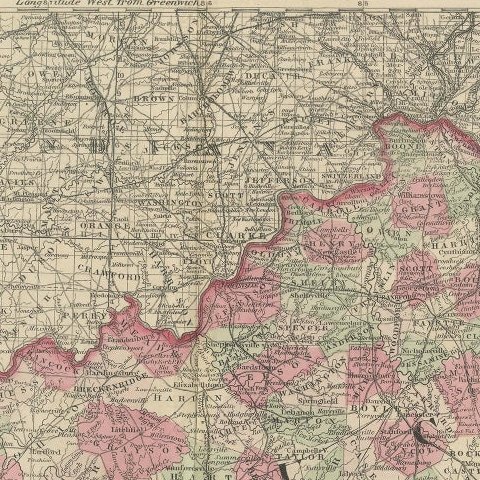
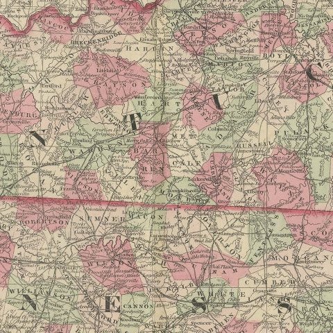
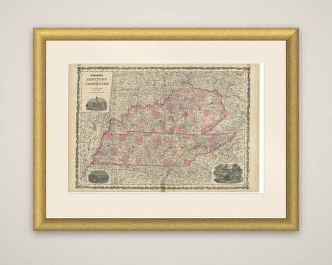
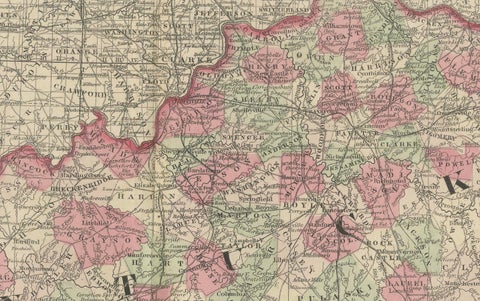
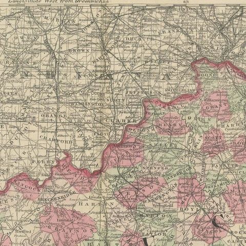
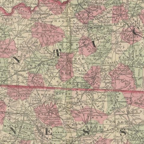
Johnson's Kentucky and Tennessee, a map published by Johnson and Ward in 1864, steel engraved with the counties outlined and tinted in pink and green and set within the ornamental chain border used throughout the series.

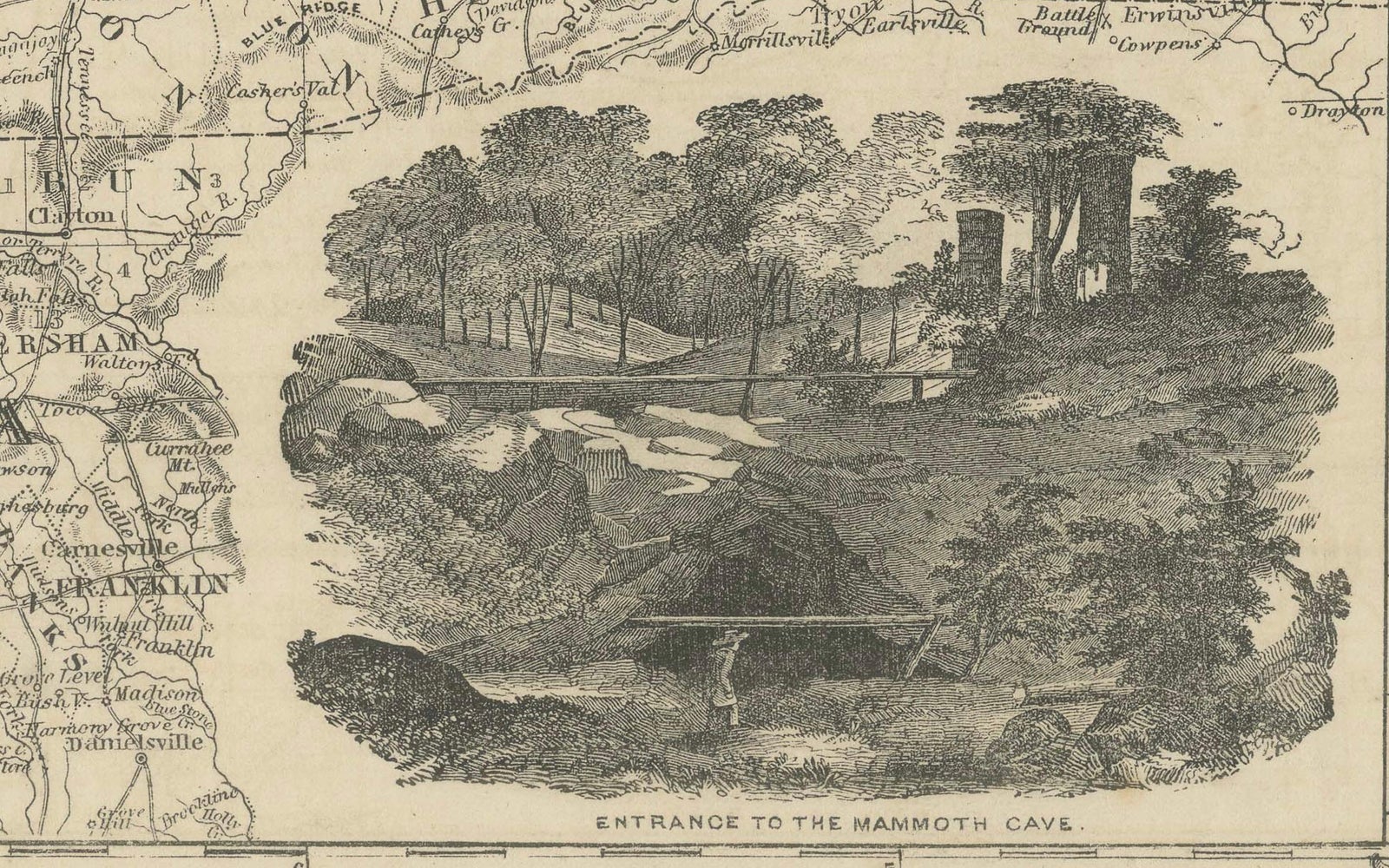
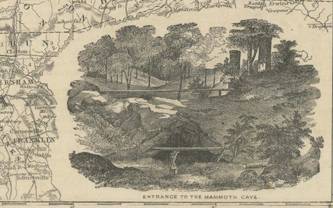
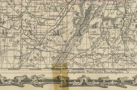
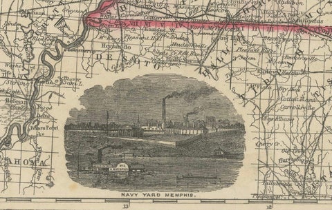
The two states fill the sheet, with Kentucky above and Tennessee below along the 36th parallel boundary. The map shows county lines, towns, railroads, rivers and roads, with neighboring parts of Missouri, Illinois, Indiana, Ohio, Virginia and North Carolina at the edges. The title block at the upper left is accompanied by a view of a classical public building, and there are two further vignettes at the lower left and lower right, a river steamer scene and a cave-mouth landscape.

The date matters: in 1864 both states were central to the war, with the Cumberland and Tennessee rivers and the railroads that serve the region in view, and the sheet reflects the information on military roads and rail lines available to the publishers at the time.

★

More of Kentucky


Antique Map of the Coal Fields of the United States by Walker '1874'
1874
$760
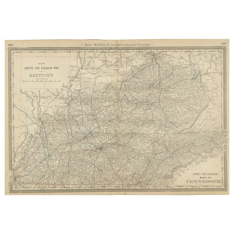
Antique Map of Kentucky & Tennessee – The Bluegrass & Volunteer States, 1888
1888 · Rand McNally
$515
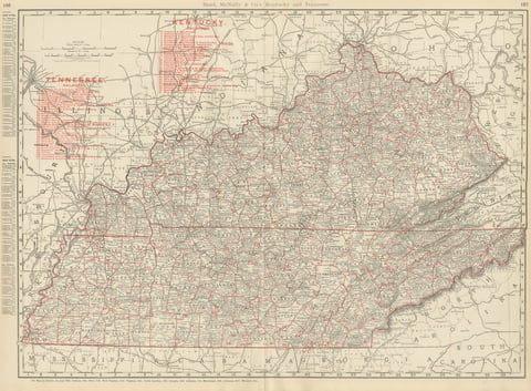
Antique Map of Kentucky and Tennessee, with the Bluegrass Region, 1899
1899 · Rand McNally
$440
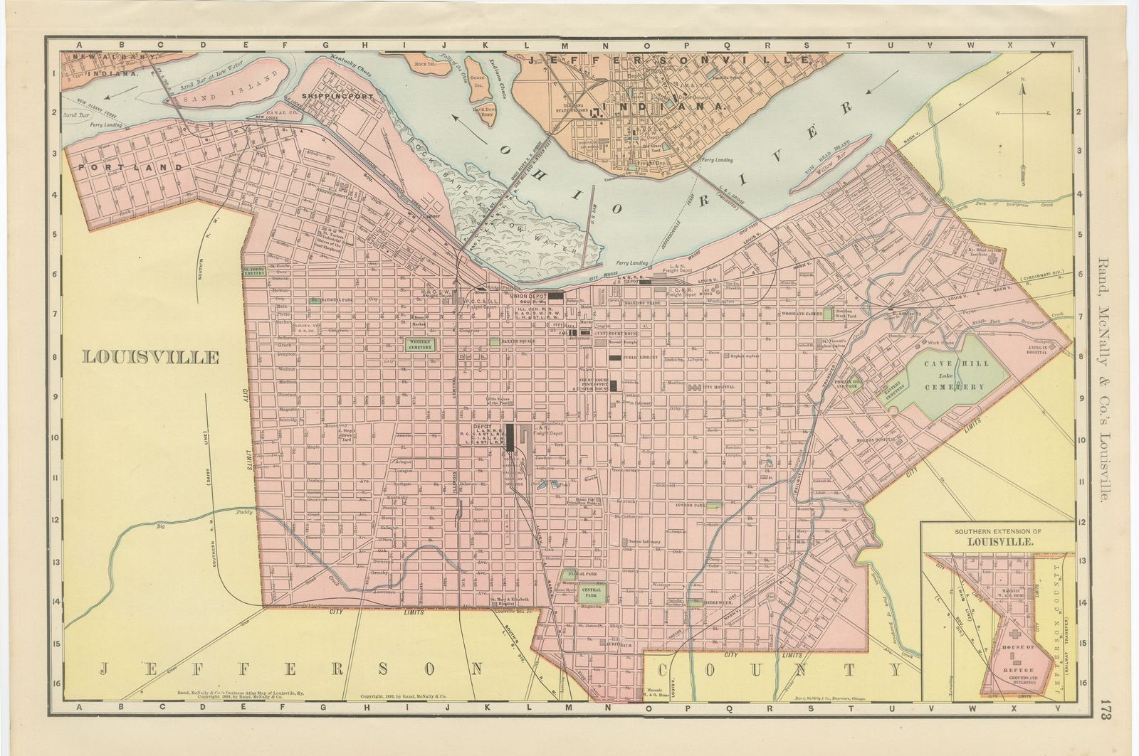
Antique Map of Louisville, Kentucky, on the Ohio River, Rand McNally, 1899
1899 · Rand McNally
$330
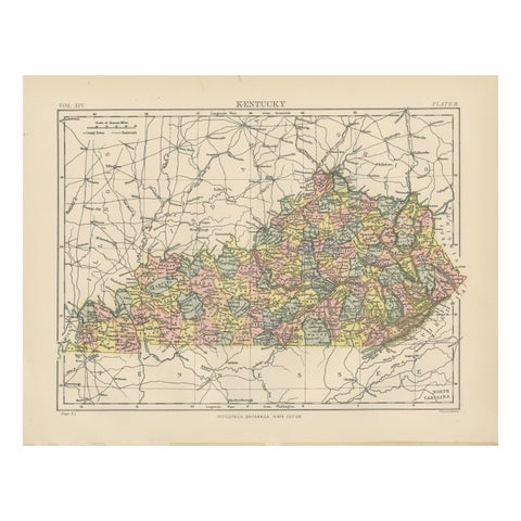
Antique Map of Kentucky
1882
$325

Ask about this print

We reply by email, usually within one working day.

Your favorites

Saved in this browser. Email the list to yourself to keep it on any device.

We use your email to send this list and, only if you tick the box and confirm, for occasional new arrivals. Every email has an unsubscribe link. Bartele Gallery, the Netherlands.

Your bag

Total

Each piece is bought on its own; shipping is added at checkout.