A Bartele Gallery CollectionLangweer · Jakarta

American Maps & Prints
Original antique maps, charts & prints of the Americas ★ Originals only


Home › The United States › Oregon
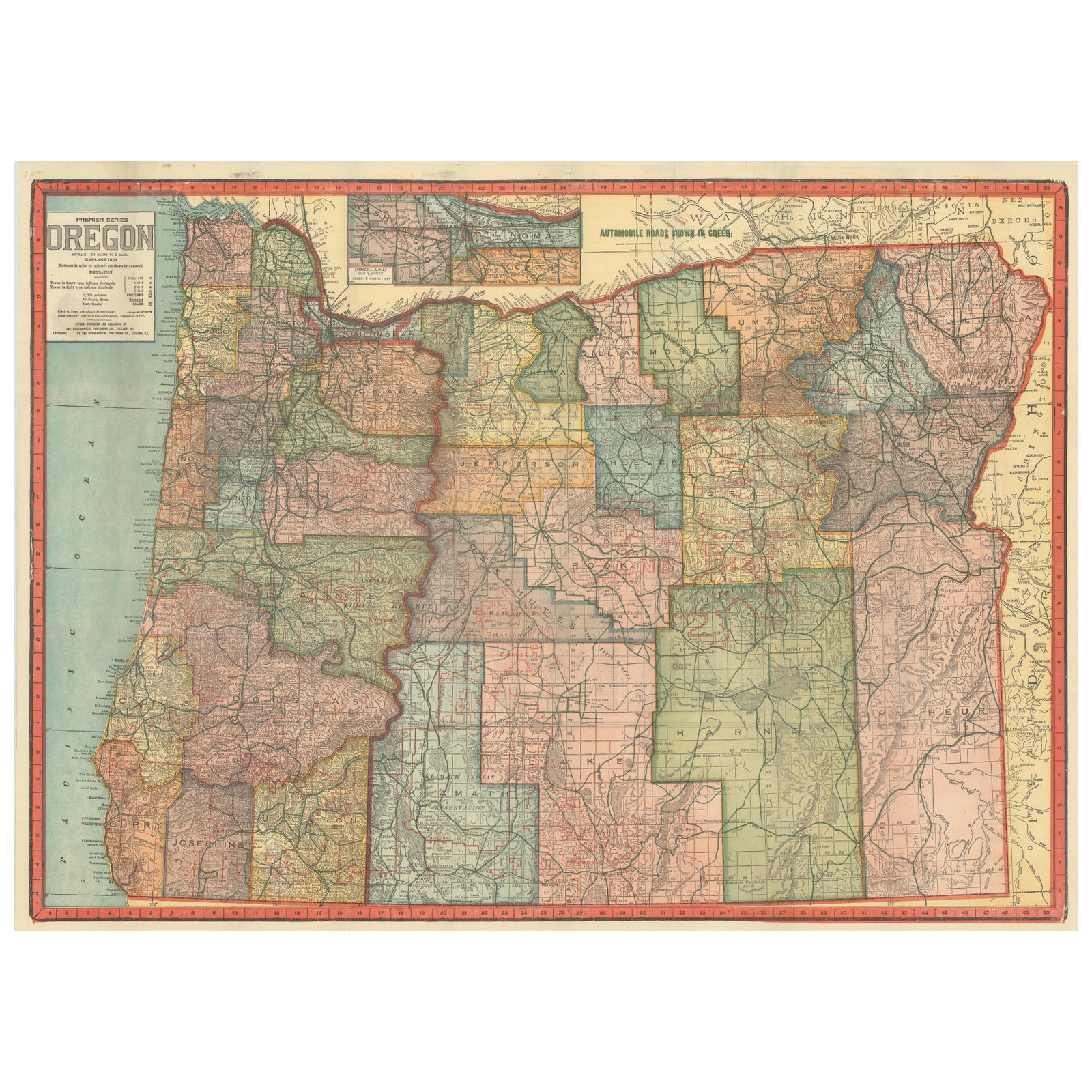
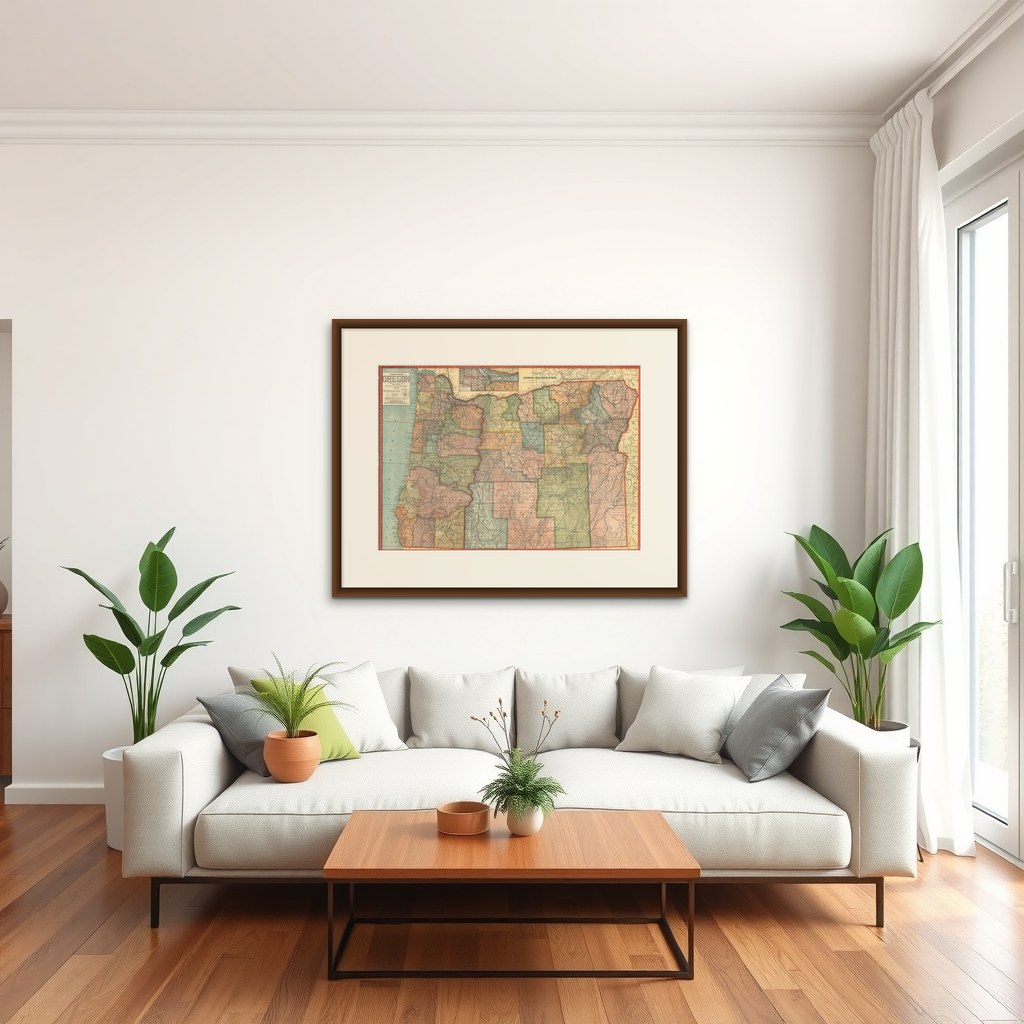
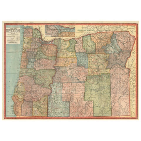
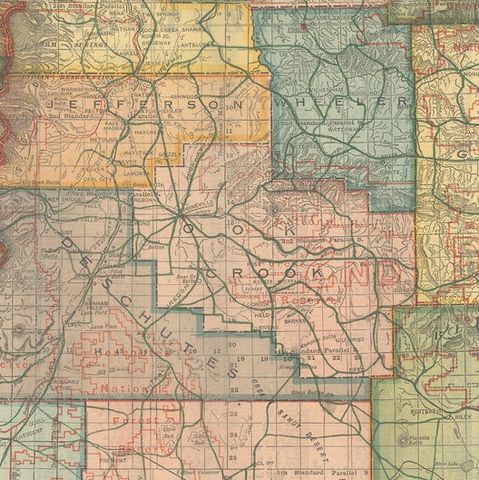
Colorful 1915 Road Map of Oregon with Portland Inset & Index – Geographical Pub.
1915 · Maps

Colorful 1915 Road Map of Oregon with Portland Inset & Index – Geographical Pub.

$860
€770 · dollar price at today's exchange rate

Buy now Ask a question

Shipping to the United States: $51 standard, $73 express, insured and tracked.

Date
1915
Kind
Maps
Size
50.8 × 70.9 cm (20 × 27.9 in)
Condition
Good. Printed color. Clean and bright with sharp impressions. The map has a few short fold separations and is detached from its original paper wrappers. Covers show damp stains and top chipping; map itself is in very good condition, suitable for framing.
Period
The Twentieth Century
Places
Oregon
Reference
BG-14111
What the condition grades mean
Excellent
Bright and clean, with no faults worth mentioning.
Very good
Only light signs of age, such as faint toning.
Good
Normal signs of age for a sheet of this period: toning, some foxing, small marks or neat old repairs.
Fair
Clear faults such as staining, tears or repairs, priced to match.

Every fault we see is written in the condition note, and the whole sheet is shown uncropped in the photos.

Guaranteed original. This is an original of the period stated, not a later reproduction or print-on-demand copy. If it is ever shown to be otherwise, we refund you in full.
Shipping to the United States. Sent from our gallery in Langweer, the Netherlands, flat between boards or rolled in a tube, and fully insured. Delivery and import charges.
About this piece

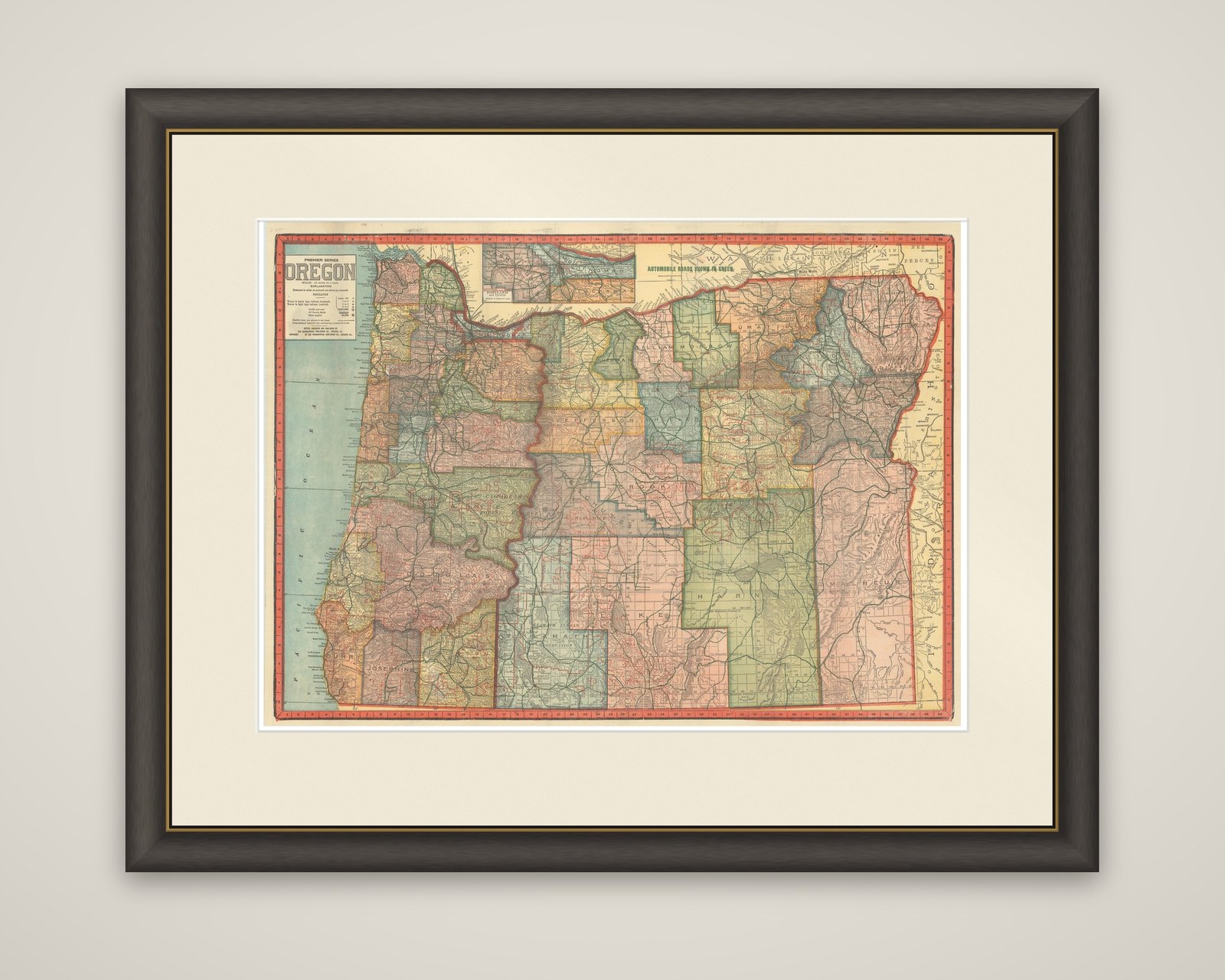
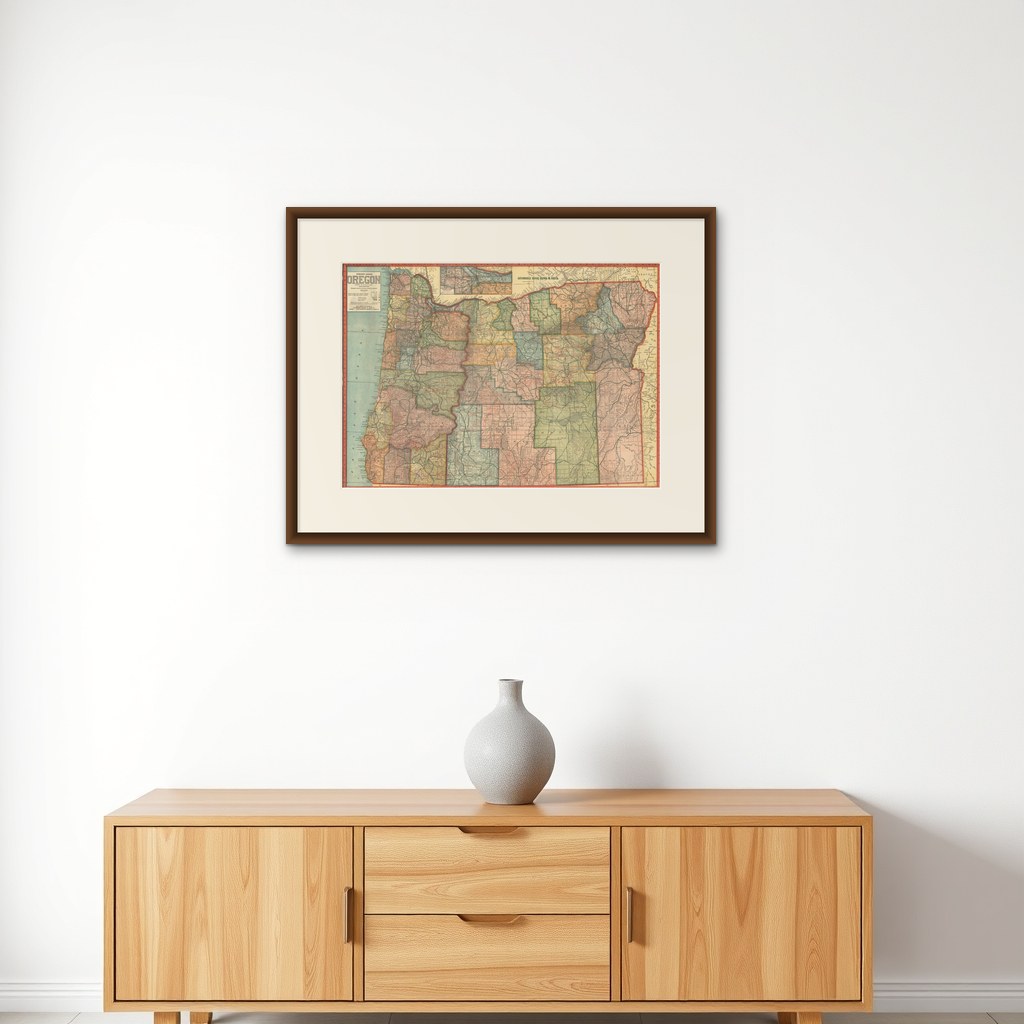
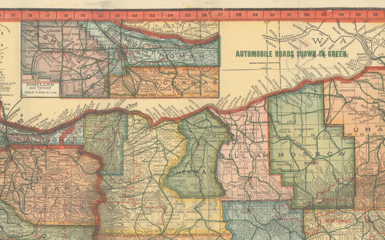
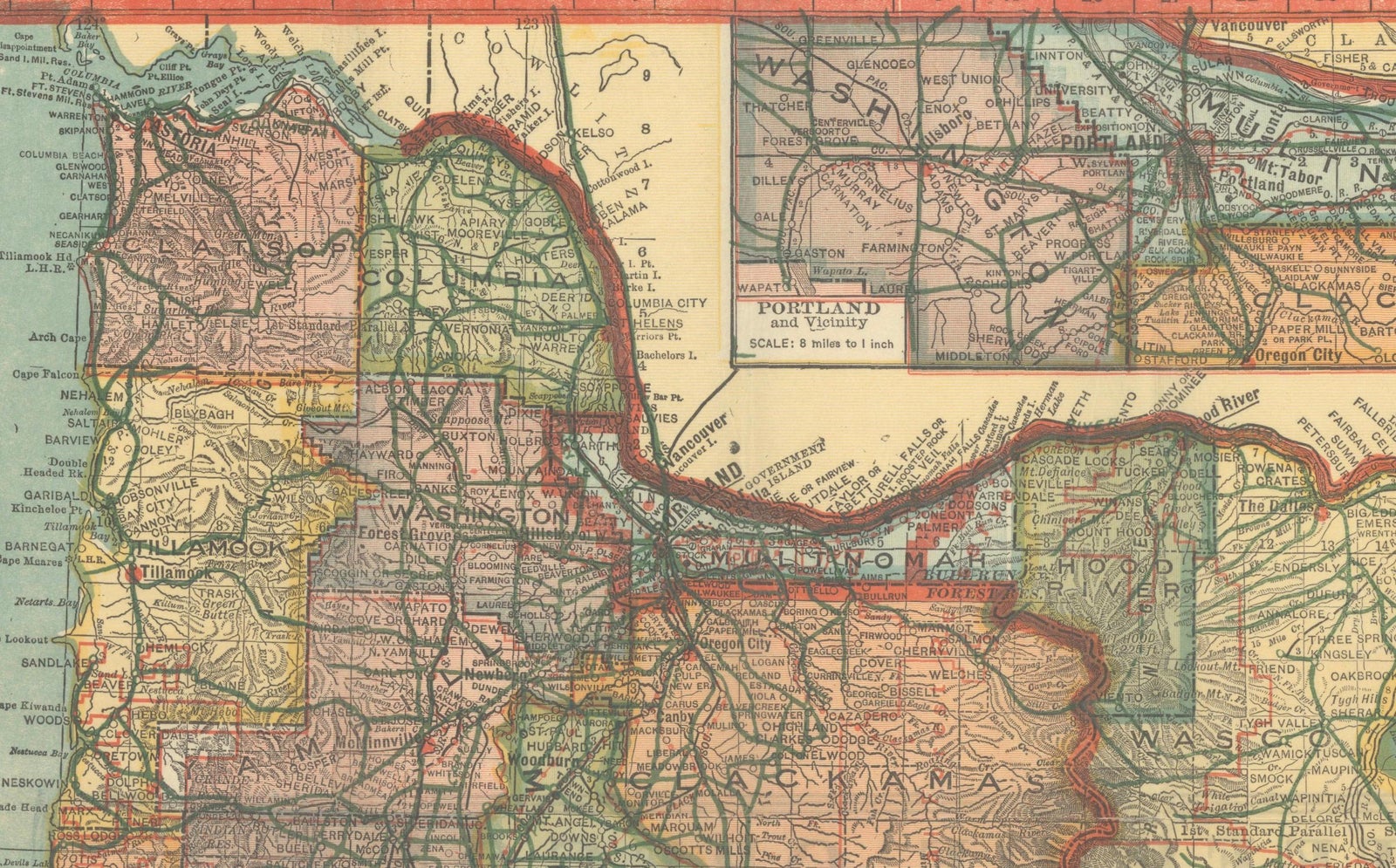
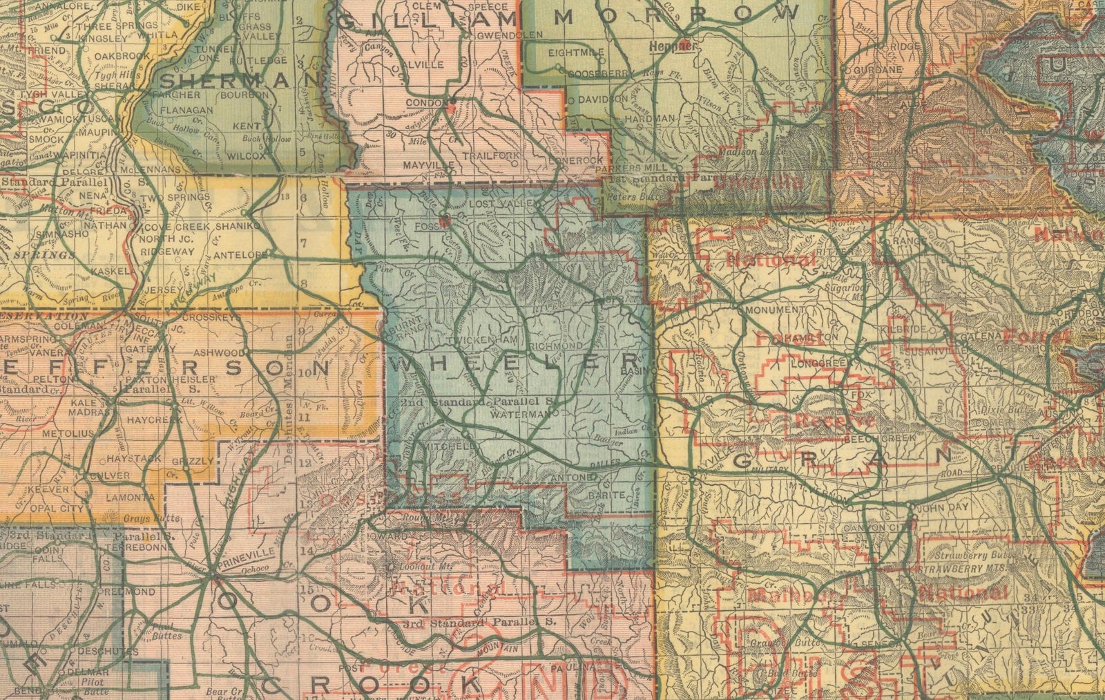
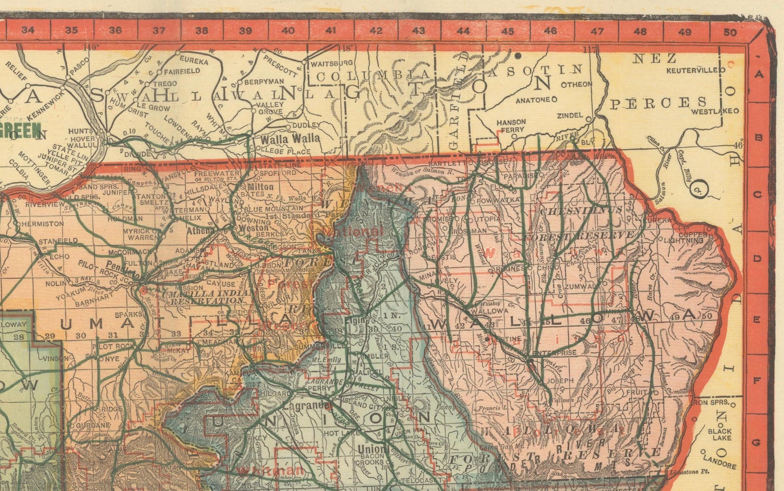
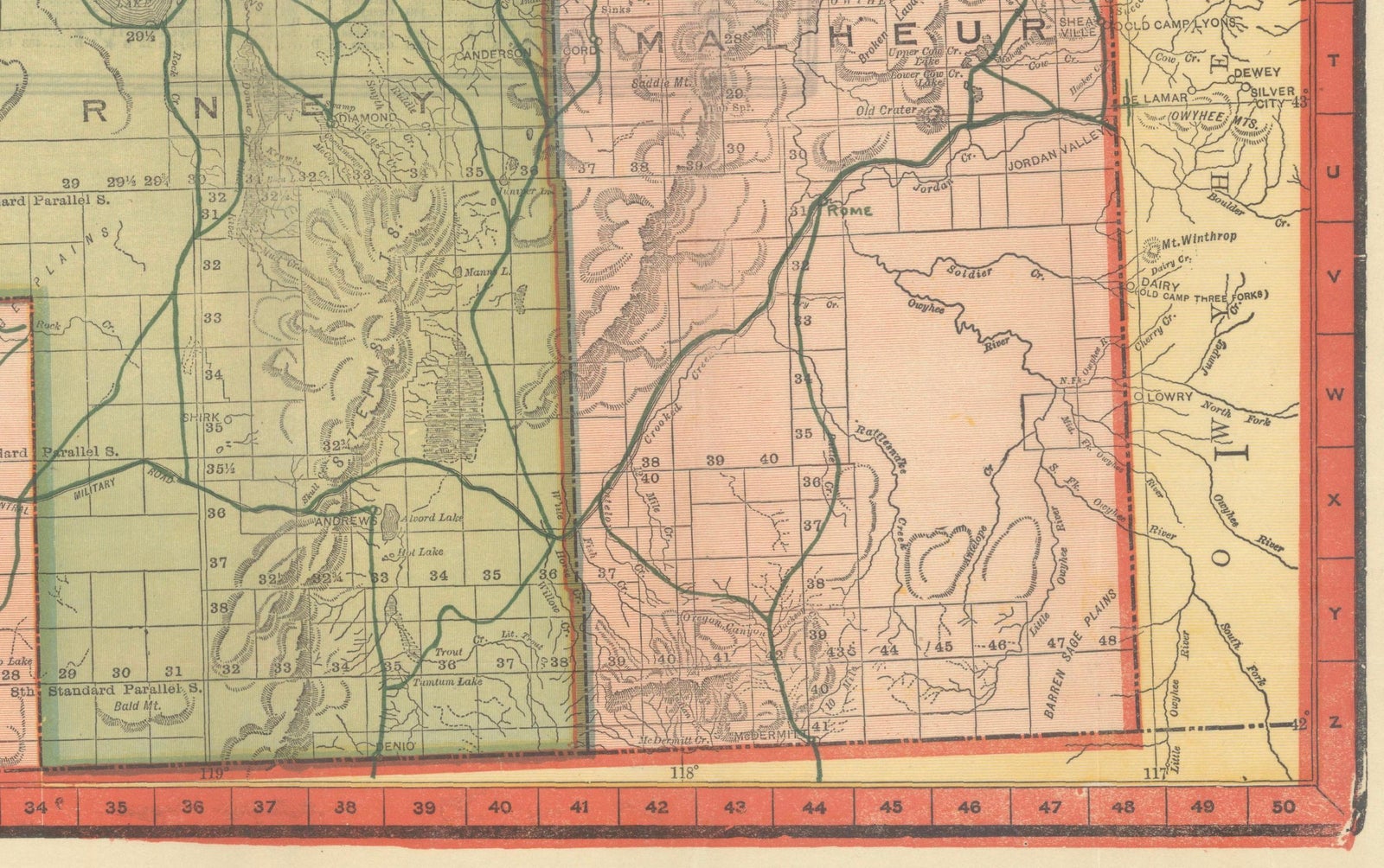
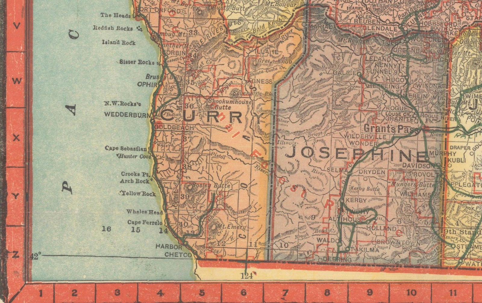
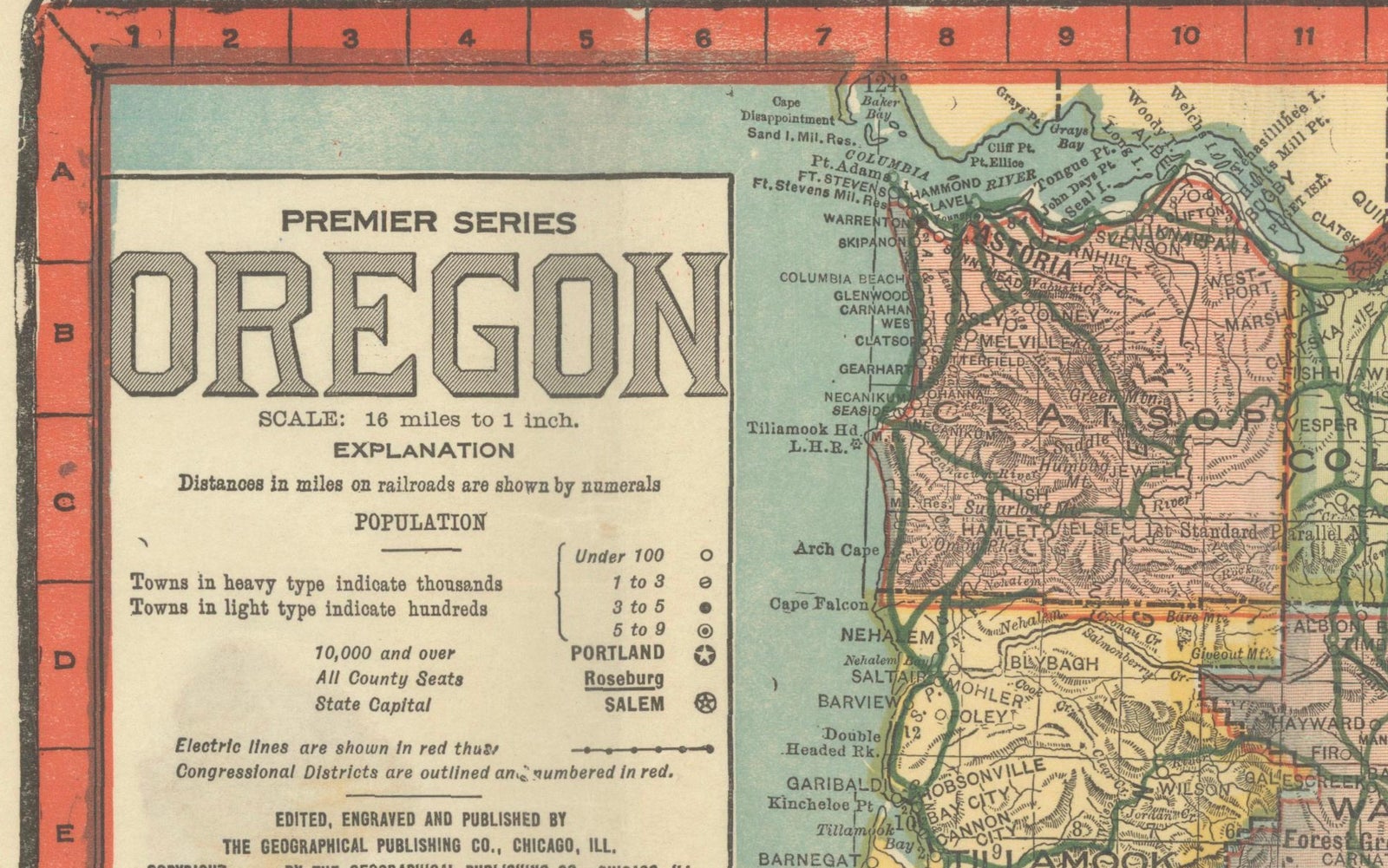
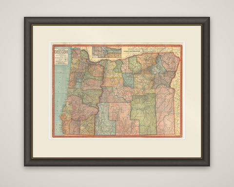
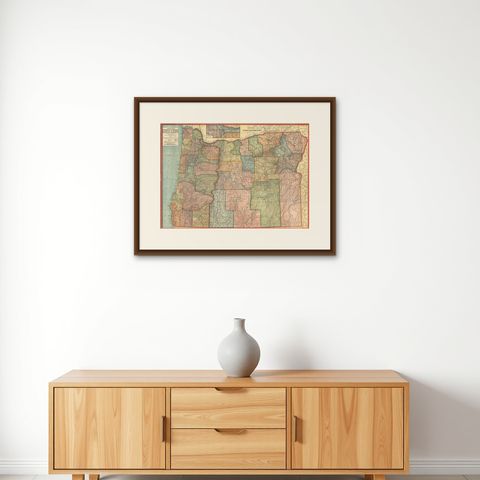
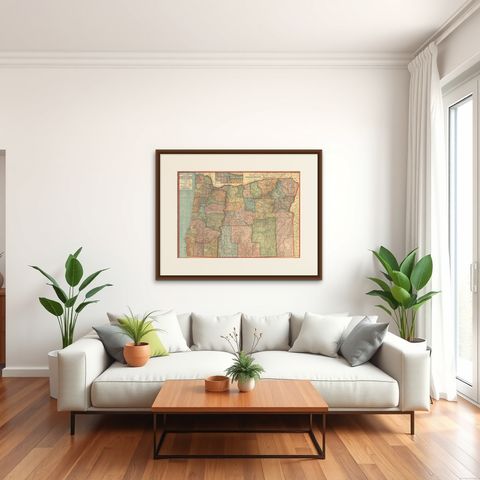
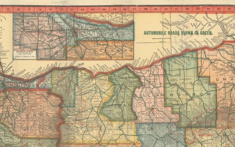
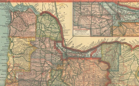
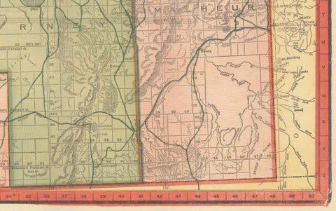
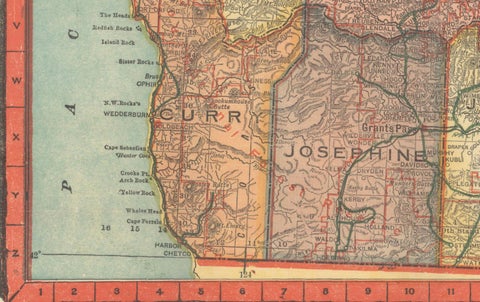
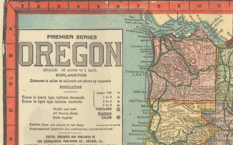
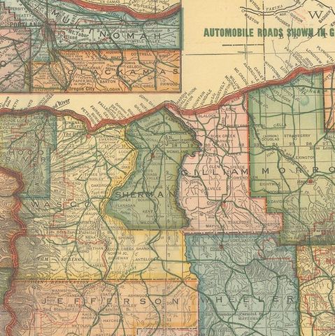
A folding road map of Oregon from the "Premier Series," published in Chicago by the Geographical Publishing Co. around 1915. The sheet is a color lithograph printed in several colors within a bold red border, with the title "Oregon" at the upper left above a legend and explanation.

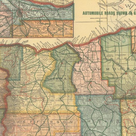
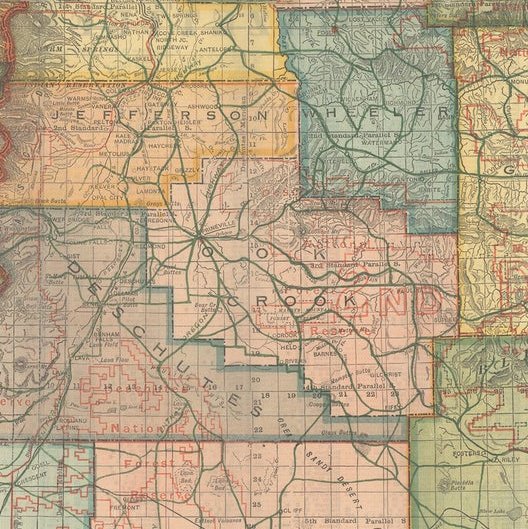
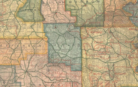
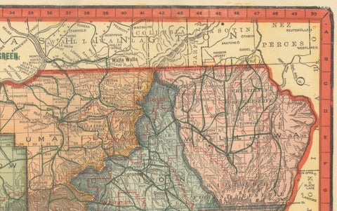
The state is shown county by county, each in a different tint, with congressional districts outlined in red. Automobile roads are overprinted in green, and the legend identifies principal roads, other roads, railroads and streetcar lines. Forest reserves, towns, rivers and mountain ranges are marked, and the Pacific coast runs down the left edge. A large inset at the top of the sheet shows the Portland vicinity on a larger scale, with a note along the top reading "Automobile roads shown in green."

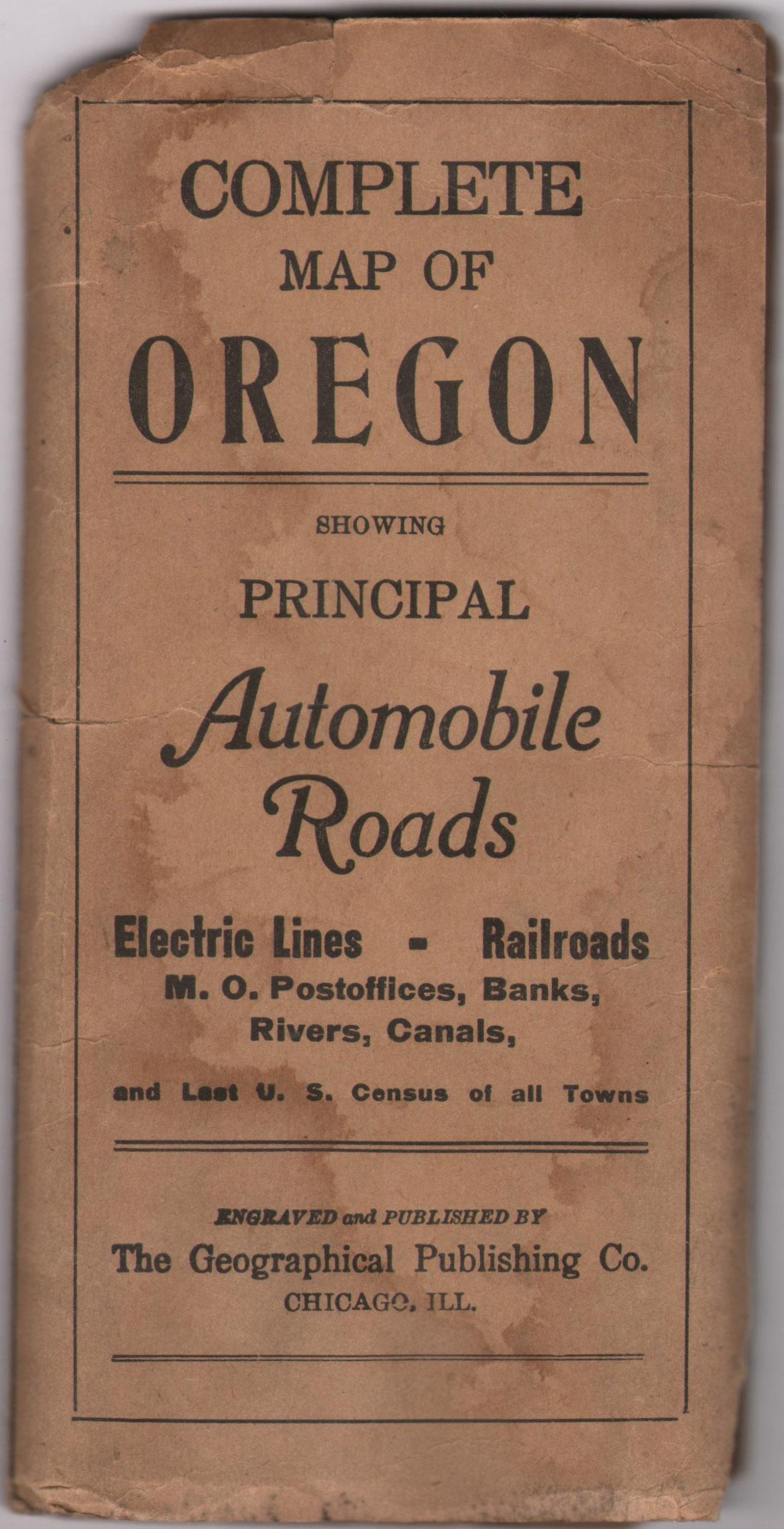
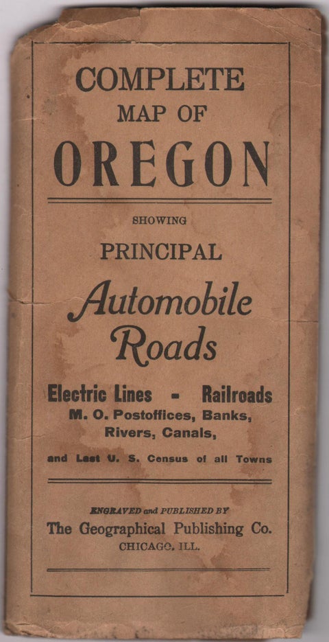
The map was issued folded in printed wrappers titled "Complete Map of Oregon Showing Principal Automobile Roads." On the verso is a table of county populations based on the census of 1910, which gives the state about 673,000 inhabitants, and an alphabetical index of towns and features.

Maps of this kind record the state in the early years of motoring, when road travel was developing alongside the railroads.

★

More of Oregon


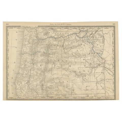
1888 Antique Map of Oregon – Railroads, Counties & Native Indian Reservations
1888 · Rand McNally
$535
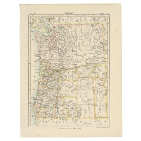
Antique Map of Oregon
1884
$325
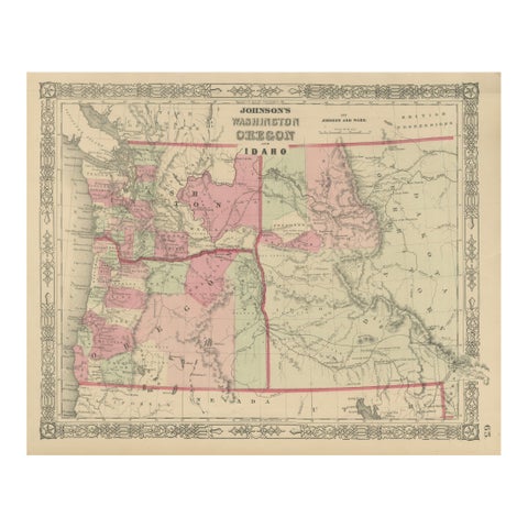
Washington Oregon Idaho Map – Johnson, Hand-Colored, c.1864
1864
$245

Ask about this print

We reply by email, usually within one working day.

Your favorites

Saved in this browser. Email the list to yourself to keep it on any device.

We use your email to send this list and, only if you tick the box and confirm, for occasional new arrivals. Every email has an unsubscribe link. Bartele Gallery, the Netherlands.

Your bag

Total

Each piece is bought on its own; shipping is added at checkout.