1856 · Views & Engravings
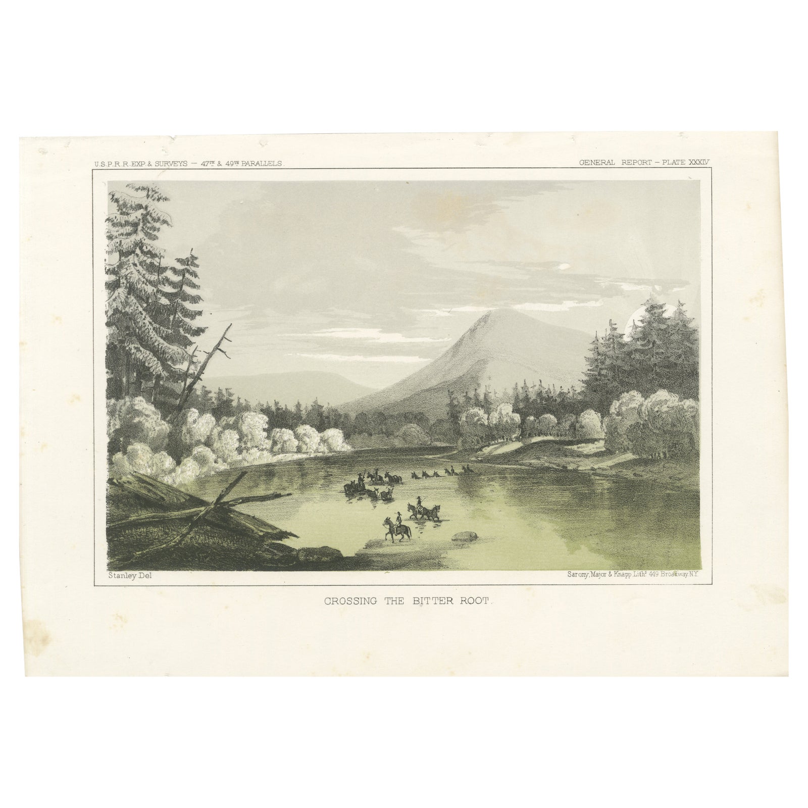
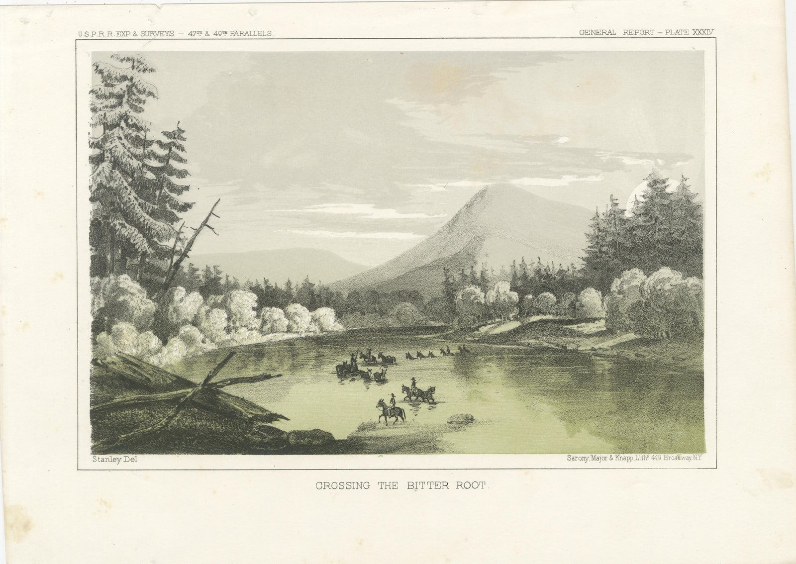
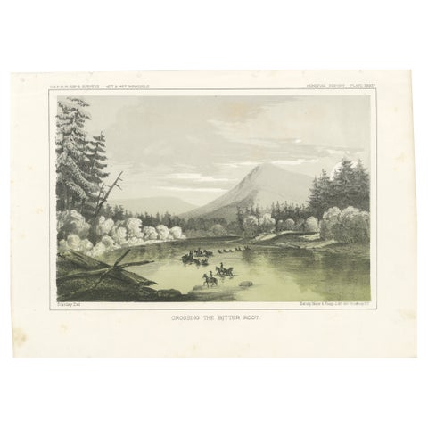
Crossing the Bitter Root River in Western Montana, USA - Tinted Lithograph, 1856
$245
€220 · dollar price at today's exchange rate
Buy now Ask a question
Shipping to the United States: $51 standard, $73 express, insured and tracked.
- Date
- 1856
- Kind
- Views & Engravings
- Size
- 20.7 × 28.3 cm (8.1 × 11.1 in)
- Period
- Westward Expansion & Civil War
- Places
- Montana
- Reference
- BG-14038-26
What the condition grades mean
- Excellent
- Bright and clean, with no faults worth mentioning.
- Very good
- Only light signs of age, such as faint toning.
- Good
- Normal signs of age for a sheet of this period: toning, some foxing, small marks or neat old repairs.
- Fair
- Clear faults such as staining, tears or repairs, priced to match.
Every fault we see is written in the condition note, and the whole sheet is shown uncropped in the photos.
Guaranteed original. This is an original of the period stated, not a later reproduction or print-on-demand copy. If it is ever shown to be otherwise, we refund you in full.
Shipping to the United States. Sent from our gallery in Langweer, the Netherlands, flat between boards or rolled in a tube, and fully insured.
Delivery and import charges.
About this piece
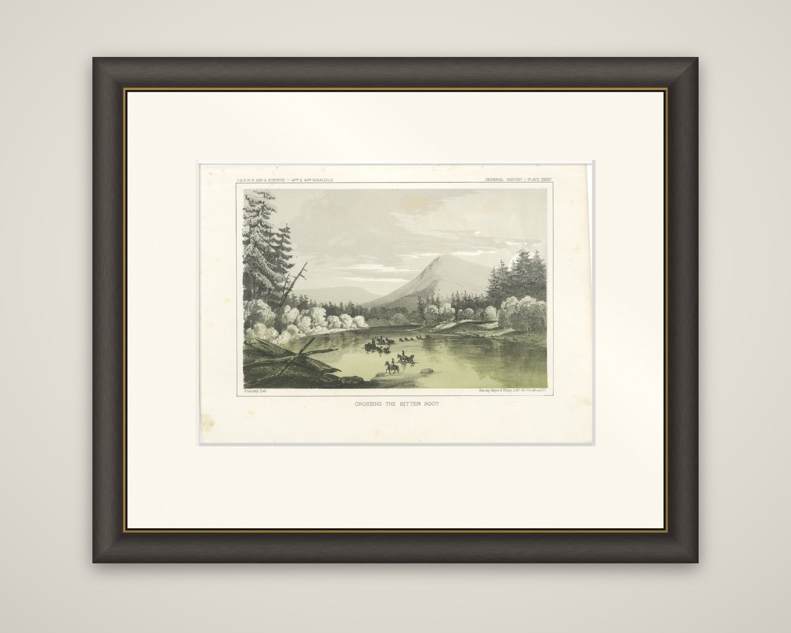
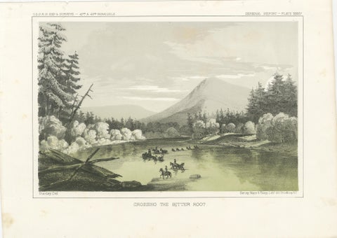
Travelers fording the Bitter Root River, an original tinted lithograph after John Mix Stanley, issued in 1856. The caption reads "Crossing the Bitter Root", with "Stanley Del." at lower left and "Sarony, Major & Knapp Lithg., 449 Broadway N.Y." at lower right. The header reads "U.S.P.R.R. Exp. & Surveys, 47th & 49th Parallels" and the sheet is numbered General Report, Plate XXXIV.
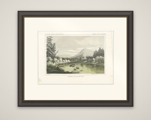
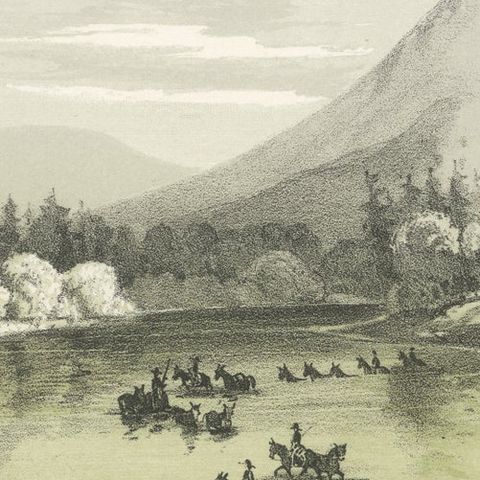
A party of riders and pack animals wades through the shallows of a broad, calm river in the middle ground, with two horsemen in the foreground and the long line of the column strung out behind them. A fallen log lies across the near bank, snow-laden evergreens rise at the left, and a bare conical mountain stands over the wooded valley beyond. The river reflects the trees and sky, printed in soft greens and grays.
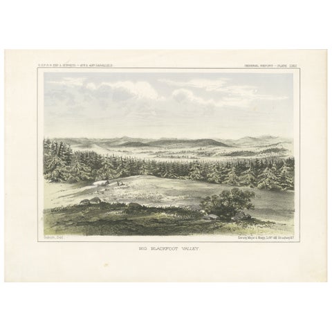
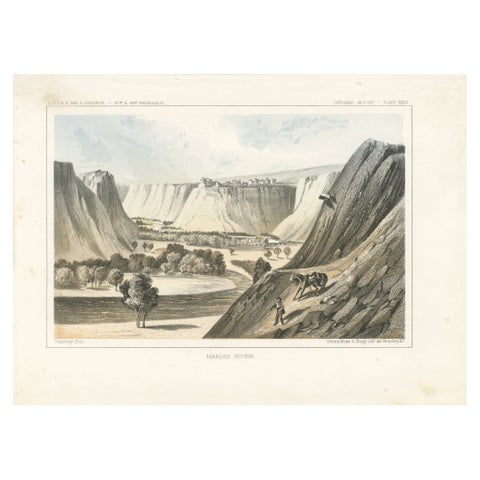
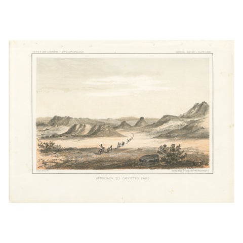
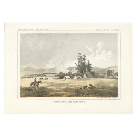
The 47th and 49th parallels route was the northern survey led by Isaac Ingalls Stevens, governor of Washington Territory, and the plates after Stanley and Sohon record country that was then little known to the eastern public. The plate comes from Reports of Explorations and Surveys, to Ascertain the Most Practicable and Economical Route for a Railroad from the Mississippi River to the Pacific Ocean.