

A Bartele Gallery CollectionLangweer · Jakarta

American Maps & Prints
Original antique maps, charts & prints of the Americas ★ Originals only


Home › The United States › Washington
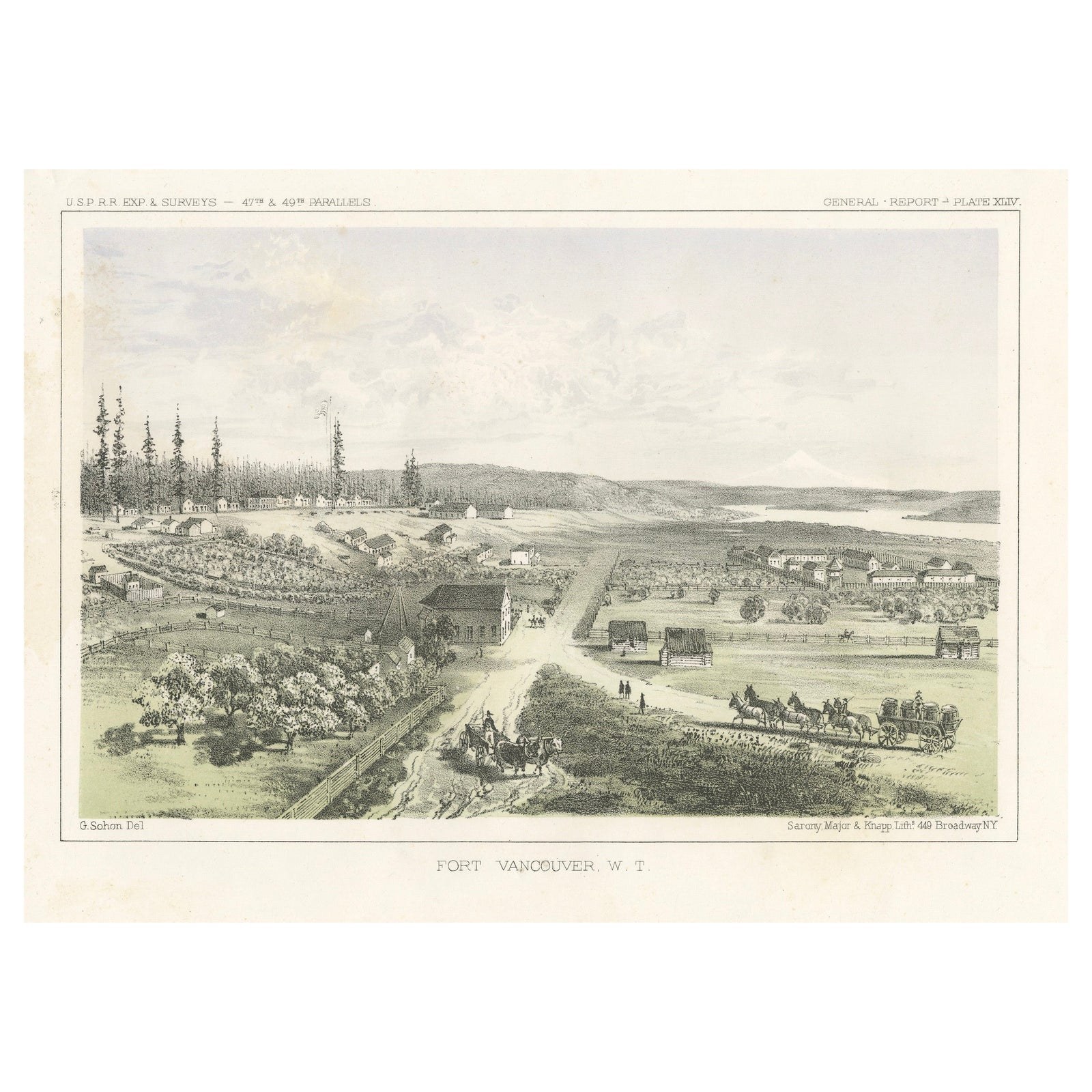
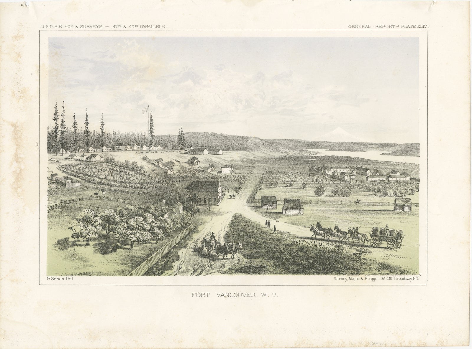
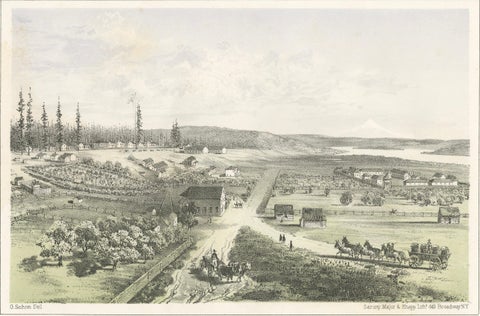
Fort Vancouver, Washington Territory, U.S. Railroad Survey View – ca.1850
1850 · Views & Engravings

Fort Vancouver, Washington Territory, U.S. Railroad Survey View – ca.1850

$315
€280 · dollar price at today's exchange rate

Buy now Ask a question

Shipping to the United States: $51 standard, $73 express, insured and tracked.

Date
1850
Kind
Views & Engravings
Size
21 × 28.6 cm (8.3 × 11.3 in)
Condition
Good. Good antique condition. Light age toning and scattered foxing, mainly in the left margins, consistent with age. The image area remains clear and well-defined. A visible plate mark is present. No major tears or losses observed.
Period
Westward Expansion & Civil War
Places
Washington
Reference
BG-14129-16
What the condition grades mean
Excellent
Bright and clean, with no faults worth mentioning.
Very good
Only light signs of age, such as faint toning.
Good
Normal signs of age for a sheet of this period: toning, some foxing, small marks or neat old repairs.
Fair
Clear faults such as staining, tears or repairs, priced to match.

Every fault we see is written in the condition note, and the whole sheet is shown uncropped in the photos.

Guaranteed original. This is an original of the period stated, not a later reproduction or print-on-demand copy. If it is ever shown to be otherwise, we refund you in full.
Shipping to the United States. Sent from our gallery in Langweer, the Netherlands, flat between boards or rolled in a tube, and fully insured. Delivery and import charges.
About this piece

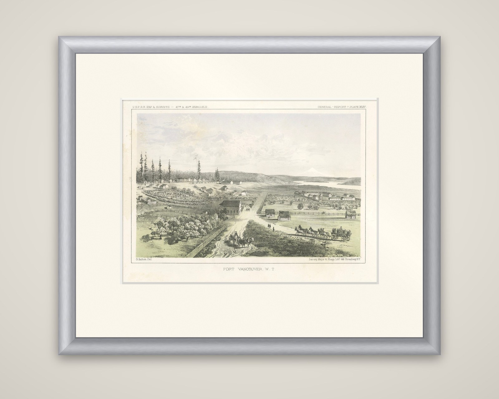
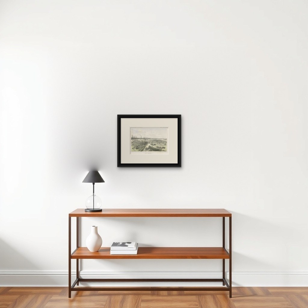
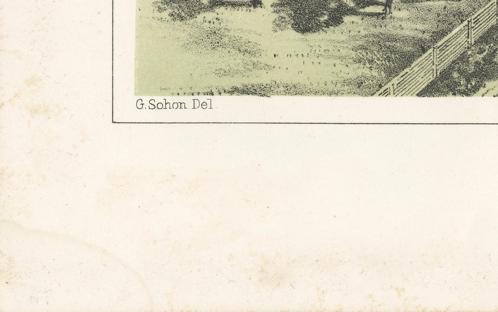
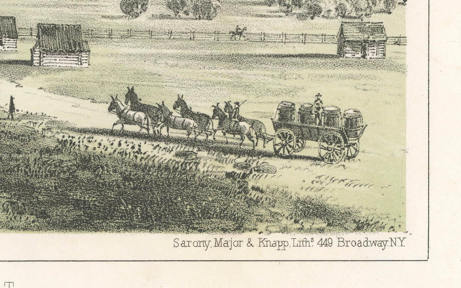
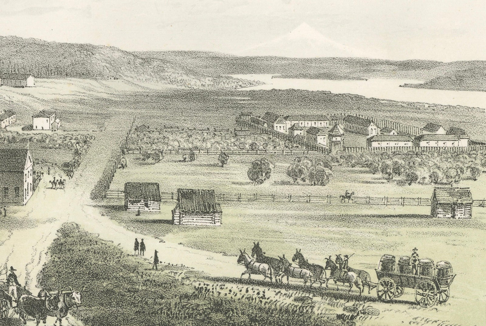
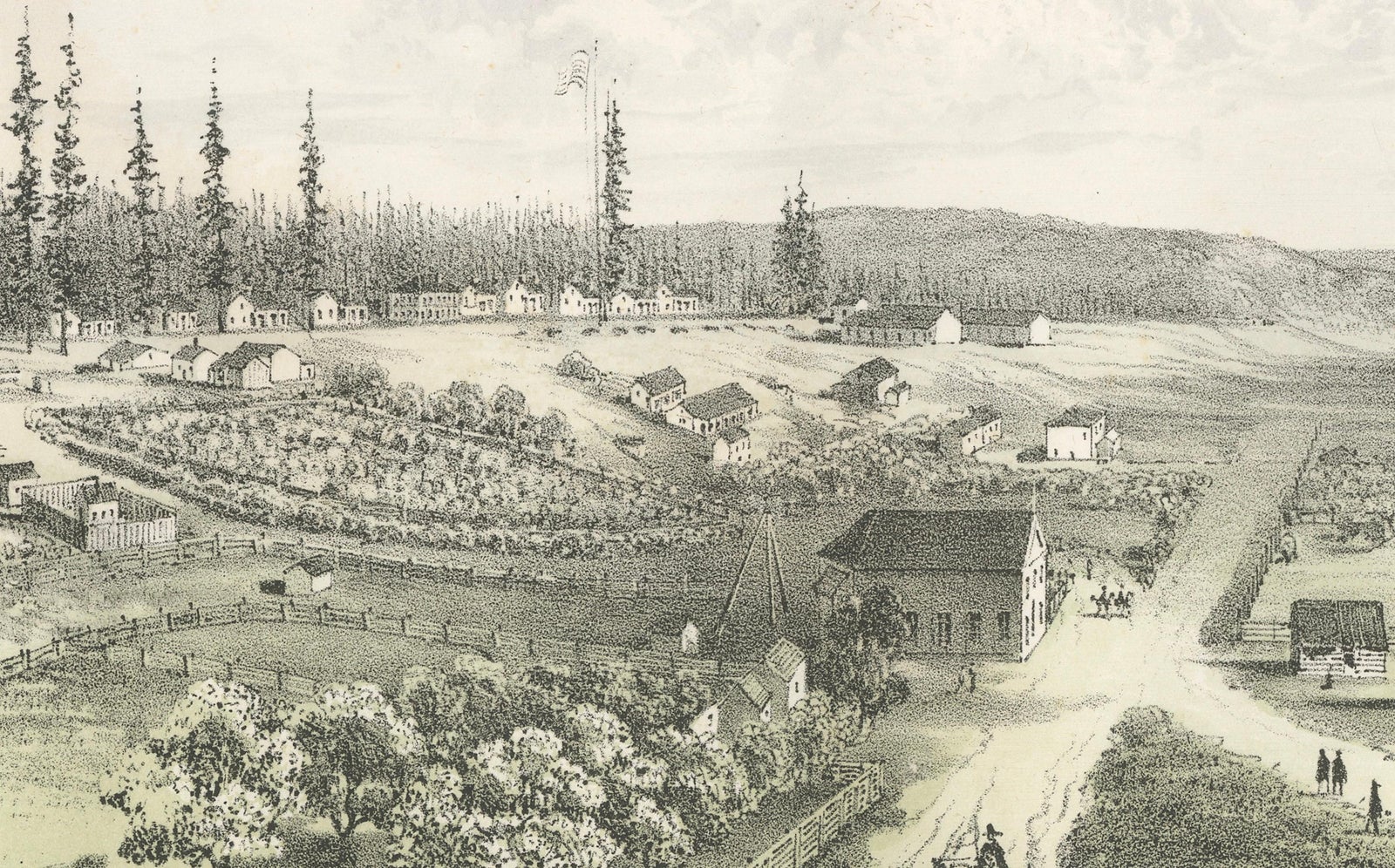
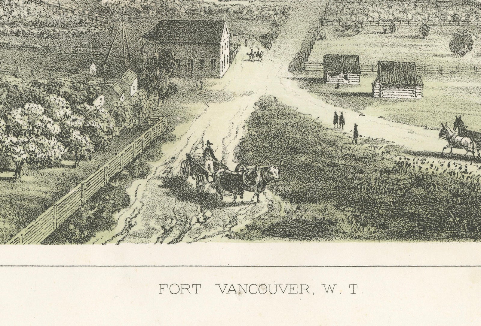
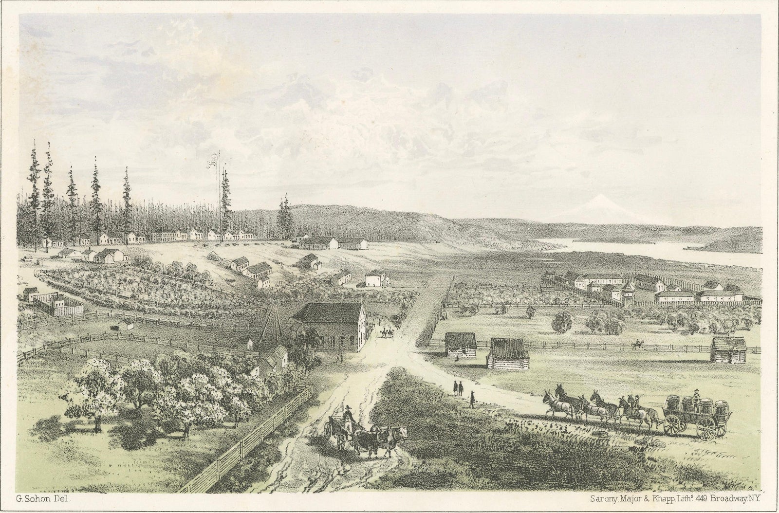
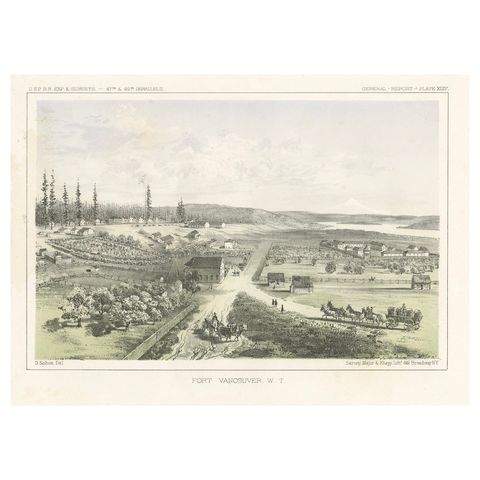
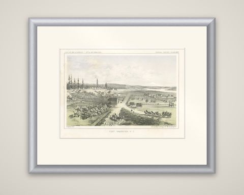
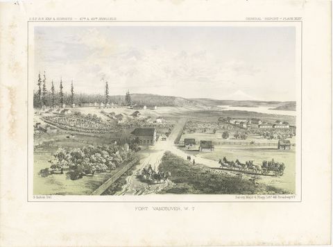
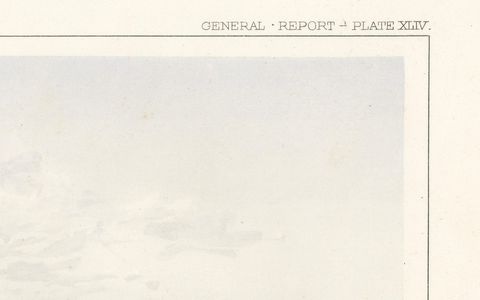
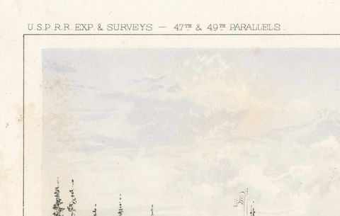
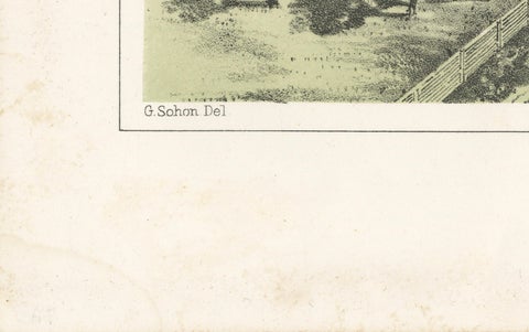
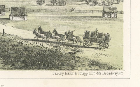
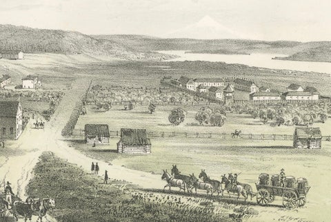
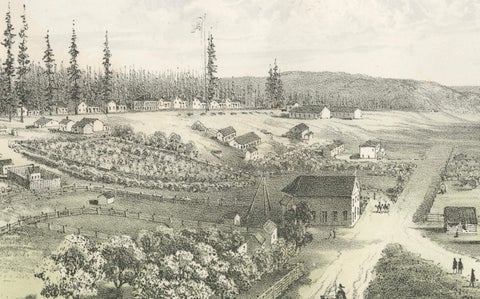
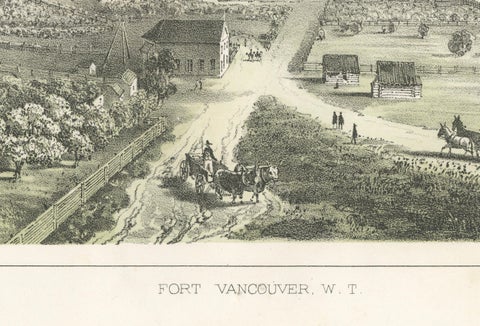
Fort Vancouver on the Columbia River, a tinted lithograph from the Pacific Railroad Reports, lettered at the top "U.S.P.R.R. Exp. & Surveys, 47th & 49th Parallels" and "General Report, Plate XLIV." The view is drawn by G. Sohon and lithographed by Sarony, Major and Knapp, 449 Broadway, New York, with the title "Fort Vancouver, W. T." beneath.

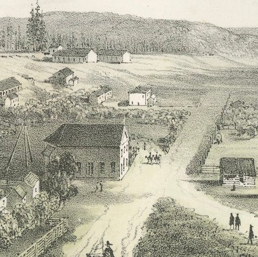
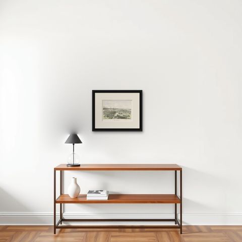
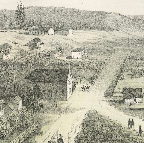
The view is taken from a rise above the post. A dirt road runs through the foreground, where a wagon with a team of horses crosses at the right and a rider and a carriage appear at the left. Log and frame buildings, fenced fields and orchards lie across the flat ground, and tall firs stand at the left, with the river beyond and a snow-capped peak on the horizon. The stone is printed in two tints, a buff and a pale green over the black.

Fort Vancouver was founded by the Hudson's Bay Company and later became a United States Army post. The survey that produced this plate was the northern route examined for a Pacific railroad, and Gustavus Sohon served as artist with it.

★

More of Washington


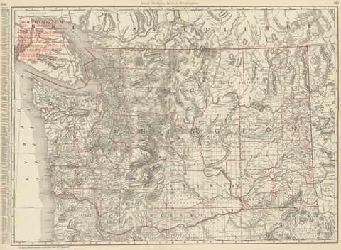
Antique Map of Washington State, The Evergreen State, Rand McNally, 1899
1899 · Rand McNally
$440
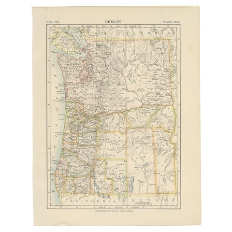
Antique Map of Oregon
1884
$325
Stunning View of Palouse Falls – Scenic Cascade in Washington, 1856
1856
$245
Washington Oregon Idaho Map – Johnson, Hand-Colored, c.1864
1864
$245

Ask about this print

We reply by email, usually within one working day.

Your favorites

Saved in this browser. Email the list to yourself to keep it on any device.

We use your email to send this list and, only if you tick the box and confirm, for occasional new arrivals. Every email has an unsubscribe link. Bartele Gallery, the Netherlands.

Your bag

Total

Each piece is bought on its own; shipping is added at checkout.