1953 · Maps
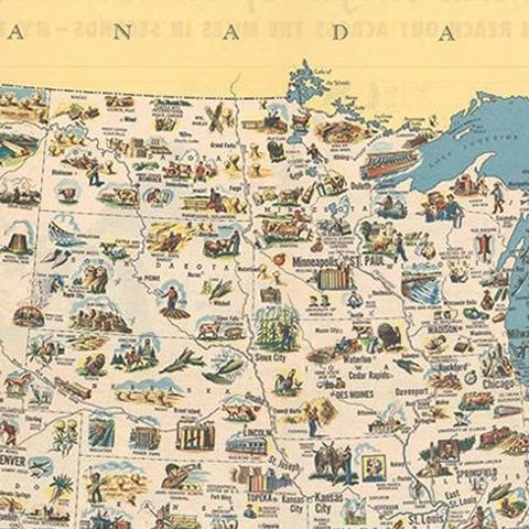
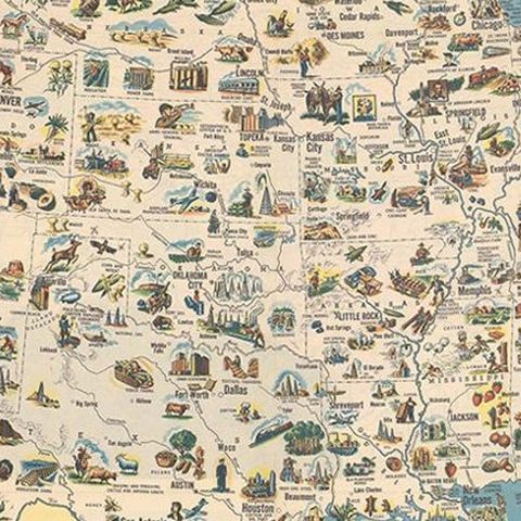
Old Decorative Pictorial Map of the United States, circa 1953
$840
€750 · dollar price at today's exchange rate
Buy now Ask a question
Shipping to the United States: $51 standard, $73 express, insured and tracked.
- Date
- 1953
- Kind
- Maps
- Size
- 59.2 × 79.2 cm (23.3 × 31.2 in)
- Condition
- Good. Octavo, self-folding.
- Period
- The Twentieth Century
- Reference
- BG-12085
What the condition grades mean
- Excellent
- Bright and clean, with no faults worth mentioning.
- Very good
- Only light signs of age, such as faint toning.
- Good
- Normal signs of age for a sheet of this period: toning, some foxing, small marks or neat old repairs.
- Fair
- Clear faults such as staining, tears or repairs, priced to match.
Every fault we see is written in the condition note, and the whole sheet is shown uncropped in the photos.
Guaranteed original. This is an original of the period stated, not a later reproduction or print-on-demand copy. If it is ever shown to be otherwise, we refund you in full.
Shipping to the United States. Sent from our gallery in Langweer, the Netherlands, flat between boards or rolled in a tube, and fully insured.
Delivery and import charges.
About this piece
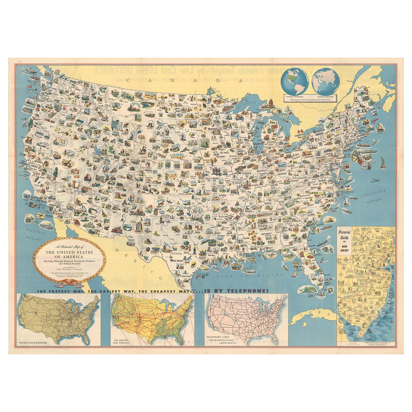
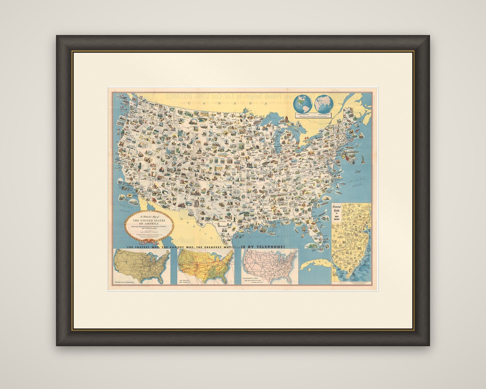
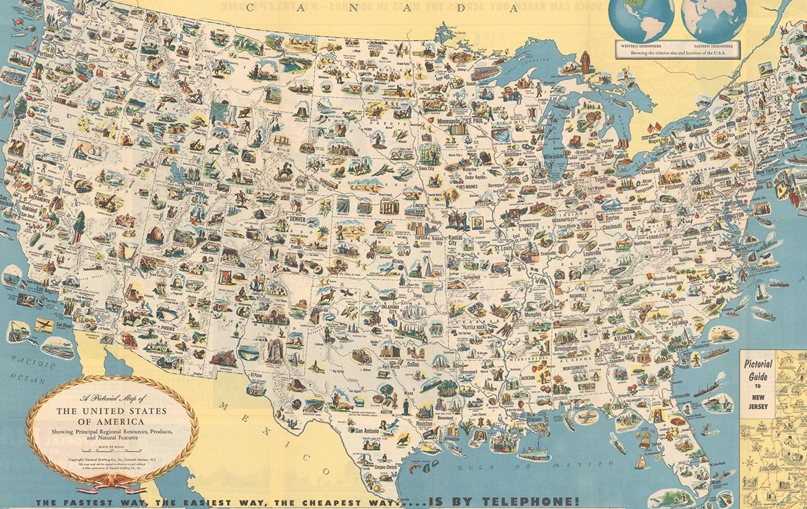
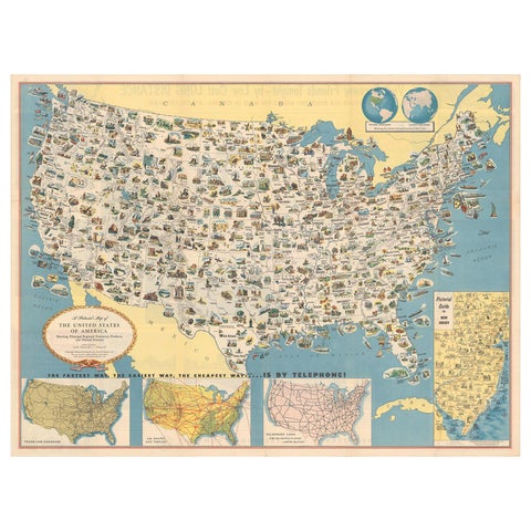
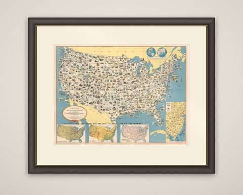
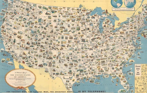
A pictorial map of the United States, "A Pictorial Map of the United States of America Showing Principal Regional Resources, Products, and Natural Features," circa 1953, created by the General Drafting Company for the New Jersey Bell Telephone Company. It is a color lithographic sheet in the information-packed style of mid-century pictorial maps.
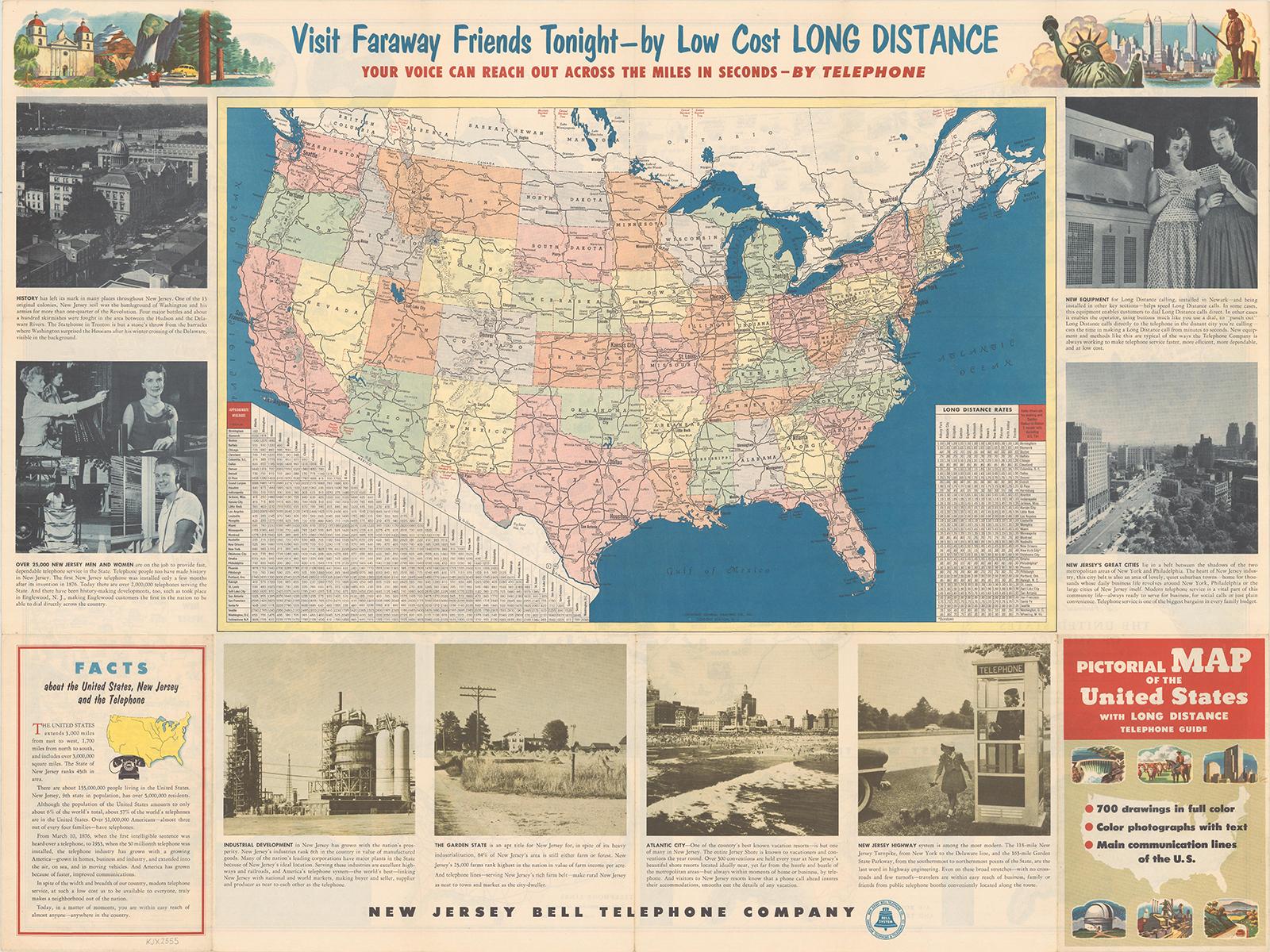
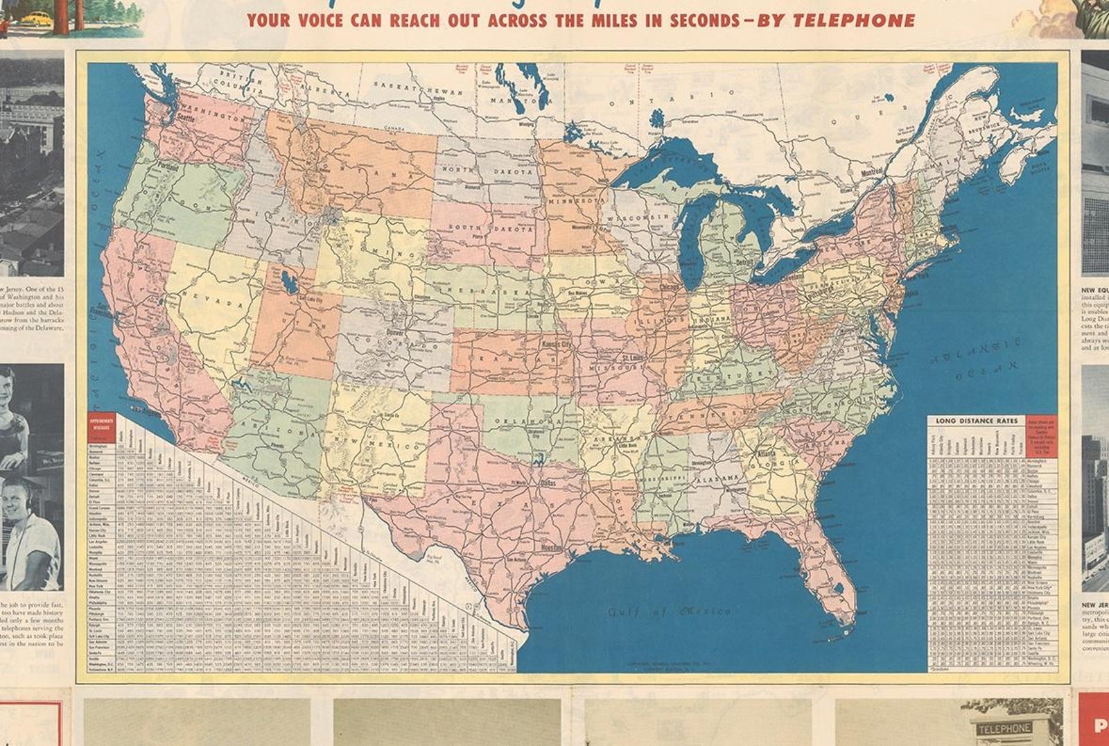
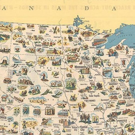
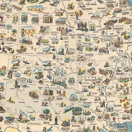
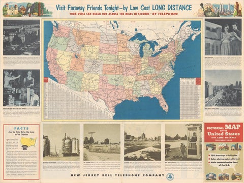
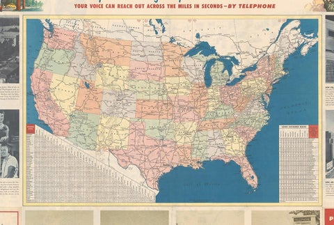
The main map carries over 700 small drawings in full color, showing points of interest, natural resources and agricultural products across the states, with Canada and Mexico lettered at the top and bottom edges and a pair of small globes at the upper center showing the relative size and location of the United States. At the bottom, three inset maps show trunk-line railroads, air routes and railways, and telephone lines, and a "Pictorial Guide to New Jersey" fills the lower right corner. A slogan below the map reads "The fastest way, the easiest way, the cheapest way . . . is by telephone!" The verso carries a road map of the United States with a mileage chart and a table of long distance telephone rates.
This issue differs from the 1954 Department of State version, which replaced the inset map of New Jersey with a table of facts about the United States.