1745 · Maps
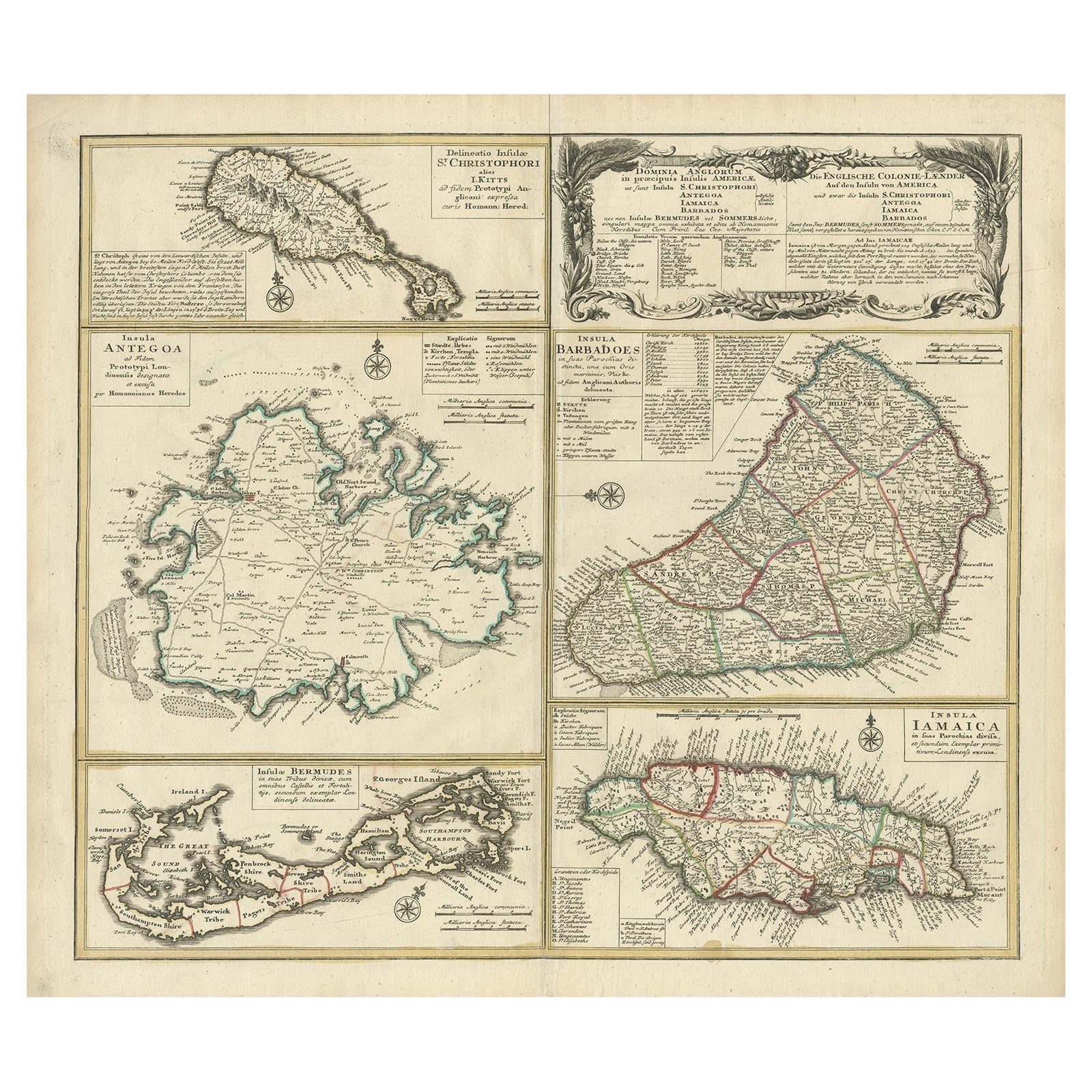
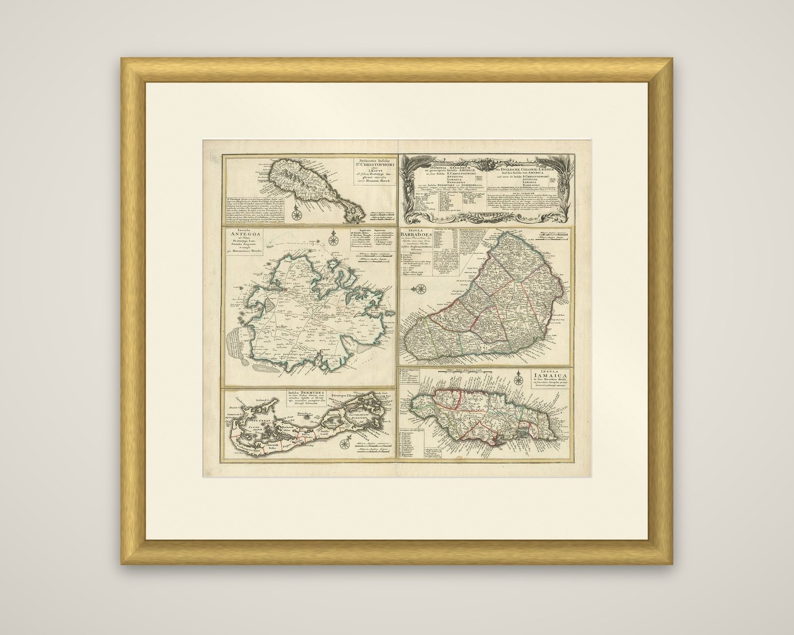
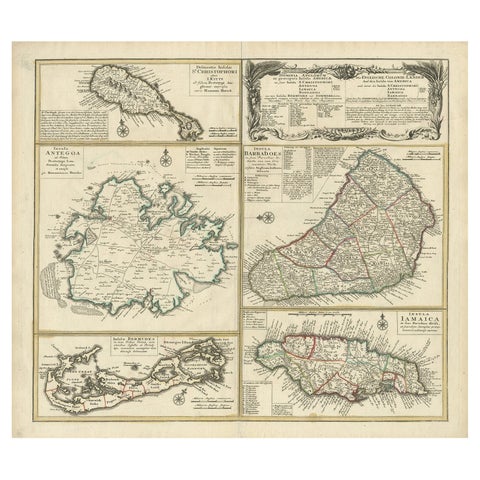
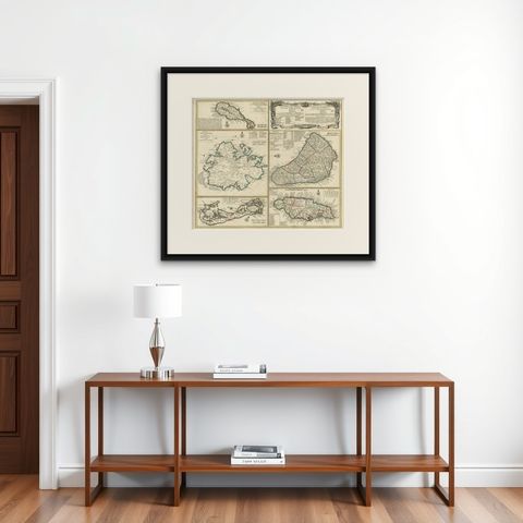
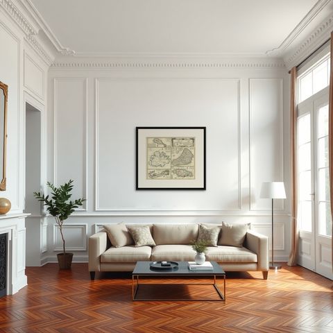
Original Old Map of St Kitts, Antigua, Bermuda, Barbados, and Jamaica, ca.1745
$1,625
€1,450 · dollar price at today's exchange rate
Buy now Ask a question
Shipping to the United States: $51 standard, $73 express, insured and tracked.
- Date
- 1745
- Maker
- Homann Heirs
- Kind
- Maps
- Size
- 54 × 61.5 cm (21.3 × 24.2 in)
- Period
- Colonial America
- Places
- Bermuda, Jamaica, The Lesser Antilles
- Reference
- BG-08025
What the condition grades mean
- Excellent
- Bright and clean, with no faults worth mentioning.
- Very good
- Only light signs of age, such as faint toning.
- Good
- Normal signs of age for a sheet of this period: toning, some foxing, small marks or neat old repairs.
- Fair
- Clear faults such as staining, tears or repairs, priced to match.
Every fault we see is written in the condition note, and the whole sheet is shown uncropped in the photos.
Guaranteed original. This is an original of the period stated, not a later reproduction or print-on-demand copy. If it is ever shown to be otherwise, we refund you in full.
Shipping to the United States. Sent from our gallery in Langweer, the Netherlands, flat between boards or rolled in a tube, and fully insured.
Delivery and import charges.
About this piece
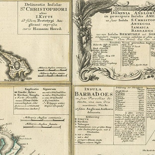
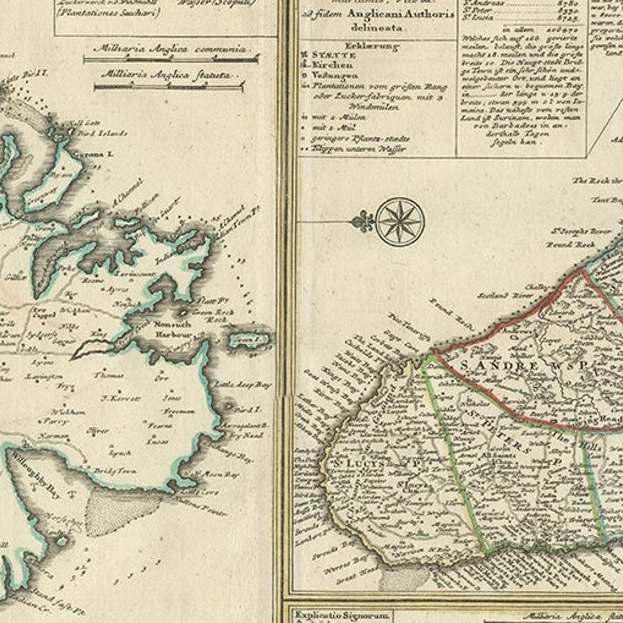
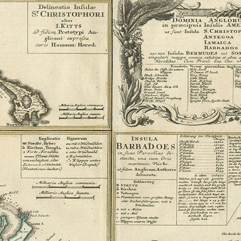
Dominia Anglorum in praecipuis Insulis Americae, an original copper engraved map of the British possessions in the Caribbean and Bermuda, published by the Homann Heirs in Nuremberg, c.1745. A large cartouche at the top right carries the Latin title and its German equivalent, "Die Englische Colonie-Länder auf den Insuln von America", listing the islands of St Christopher, Antigua, Jamaica, Barbados and the Bermudas, or Somers Islands. The sheet is finished in hand color, with outline wash and with the parishes of the larger islands in different tints.
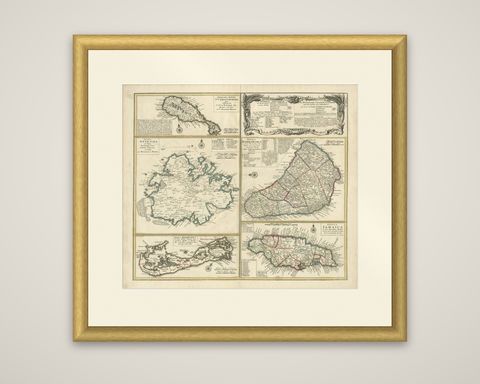
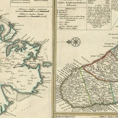
Five separate island maps share the sheet, each with its own title, compass rose and scale, and each with a key to the main places. At upper left is the small island of St Christopher, or St Kitts. Antigua occupies the left center, and Barbados the right center, with its parishes outlined in color. Below, Jamaica fills the lower right, and Bermuda is shown as a long chain of islets at the bottom left. Harbors, towns, plantations and reefs are named around the coasts.
After the death of J.B. Homann in 1724 the firm continued under the name Homann Heirs, and it remained one of the leading map publishers of Germany through much of the eighteenth century.