Antique maps & prints of the Americas
Colonial America
★ 193 original pieces ★
Before independence the continent was drawn mostly in Amsterdam, Paris and London. Maps from this period show coasts better than interiors, rival colonial claims, and occasionally California as an island.
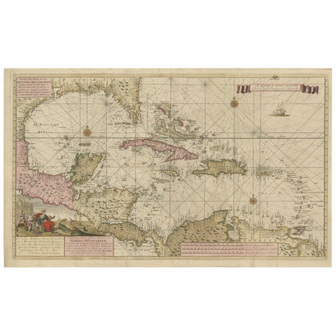
Engraving of a Map of Florida, the Gulf Coast, Caribbean & Central America, 1728
1728 · Van Keulen
$15,335
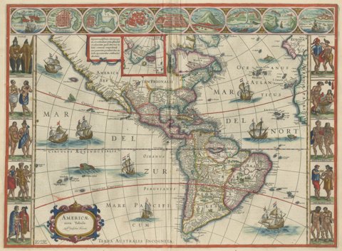
Antique Blaeu Map of America, Terra Australis Incognita, 1642
1642 · Blaeu
$10,635
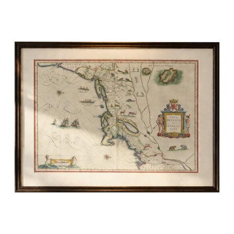
Antique New England Map Blaeu c.1642 – Nova Belgica & Anglia, Ships
1642 · Blaeu
$8,785
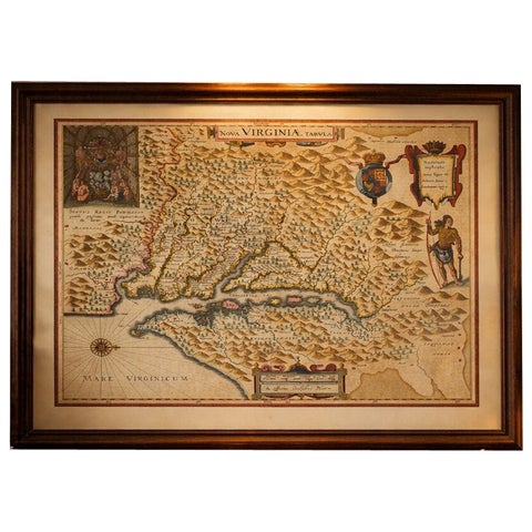
Antique Virginia Map Blaeu c.1642 – Jamestown, Powhatan, Chesapeake
1642 · Blaeu
$8,115
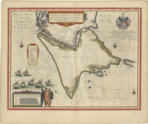
Blaeu Strait of Magellan Map – Tierra del Fuego, Decorative Sea Chart, 1642
1642 · Blaeu
$7,555
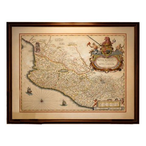
Antique Mexico Map Blaeu c.1642 – New Spain, Early Colonial Detail
1642 · Blaeu
$6,995
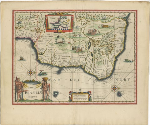
Blaeu Brazil Map, Novus Brasiliae Typus, Antique Hand-Colored Map 1642
1642 · Blaeu
$6,995
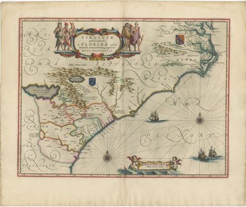
Blaeu Virginia and Florida Map – Decorative Early America Chart, 1642
1642 · Blaeu
$5,875
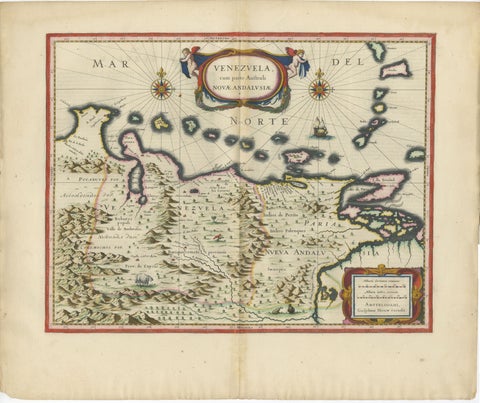
Blaeu Venezuela Map – Decorative Caribbean & Nueva Andalusia Chart 1642
1642 · Blaeu
$5,540
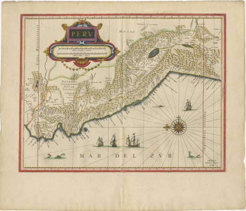
Blaeu Map of Peru, Antique Hand-Colored Engraving, South America 1642
1642 · Blaeu
$5,430
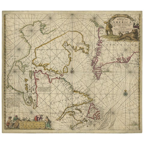
Antique Sea Chart of Hudson Bay and Arctic Canada by Van Keulen, circa 1681
1681 · Van Keulen
$5,315
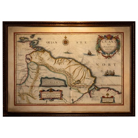
Antique Surinam & Guiana Map Blaeu c.1642 – Amazon, El Dorado
1642 · Blaeu
$4,755
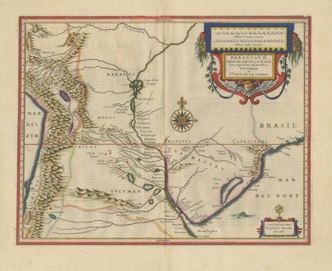
Blaeu Paraguay Map, Rio de la Plata, Antique Engraving, South America 1642
1642 · Blaeu
$4,085
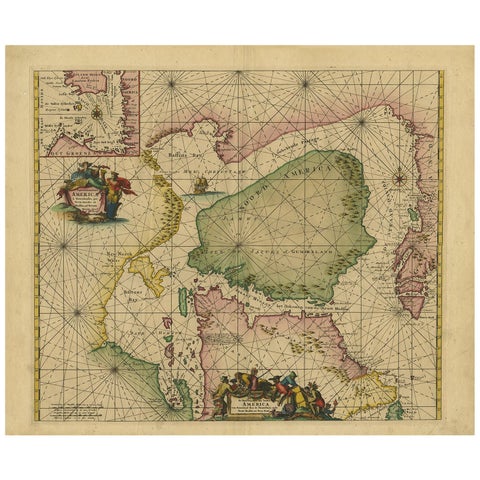
Greenland & North America – Antique Sea Chart by Frederick de Wit, 1745
1745 · Frederick de Wit
$3,920
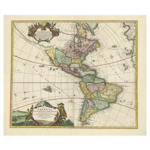
Antique Map of America with California as an Island by Homann '1710'
1710 · Homann Heirs
$2,800
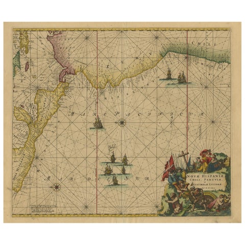
Sea Chart of Central America and the Northwest Coast of South America, ca.1745
1745 · Frederick de Wit
$2,740
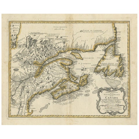
Antique Map of New England and Eastern Canada by Homann Heirs, circa 1755
1755 · Homann Heirs
$2,240
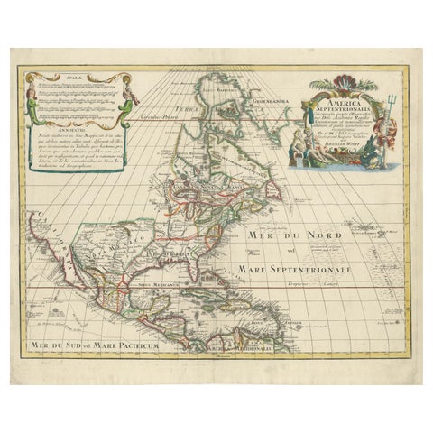
Scarce Latin Edition of Guillaume Delisle's 1700 Map of North America
1700 · Guillaume Delisle
$2,185
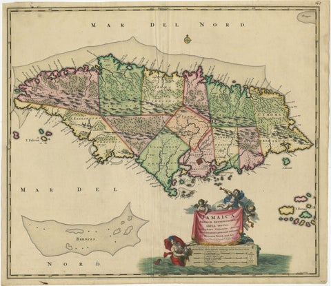
Antique Hand-Colored Map of Jamaica, circa 1680
1680 · Visscher
$2,185
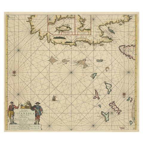
Original Antique Sea Chart - the Northern Part of Hispaniola, Western Cuba, 1684
1684 · Van Keulen
$2,125
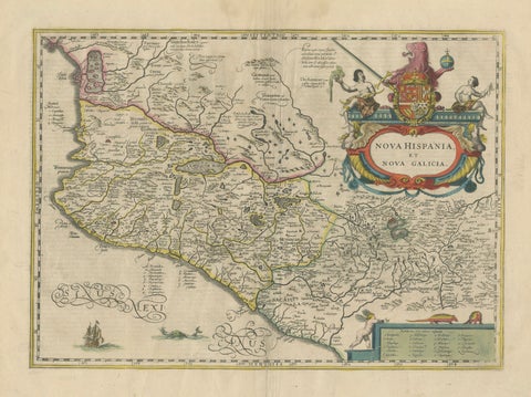
Antique Map of Southern Mexico & New Galicia, Janssonius, Amsterdam c.1650
1650 · Jansson
$2,065
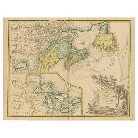
Antique Map of New England and Part of Canada by Vaugondy 'circa 1755'
1755 · Robert de Vaugondy
$1,960
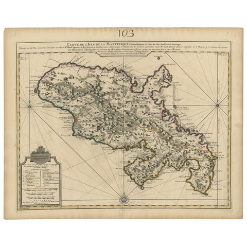
Antique Map of Martinique, Showing Roads, Houses, Sugar Plantations, etc. c.1750
1750 · Sanson
$1,680
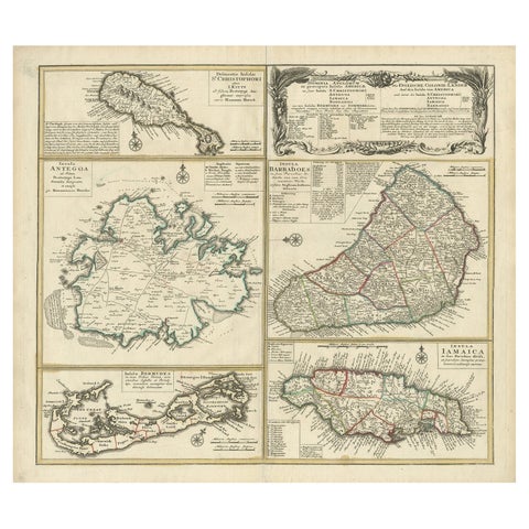
Original Old Map of St Kitts, Antigua, Bermuda, Barbados, and Jamaica, ca.1745
1745 · Homann Heirs
$1,625
Page 1 of 9Next →
★
Other periods