A Bartele Gallery CollectionLangweer · Jakarta

American Maps & Prints
Original antique maps, charts & prints of the Americas ★ Originals only


Home › United States
Original antique maps & prints of

Puerto Rico

★ 4 original pieces ★

Puerto Rico, a United States territory since 1898.
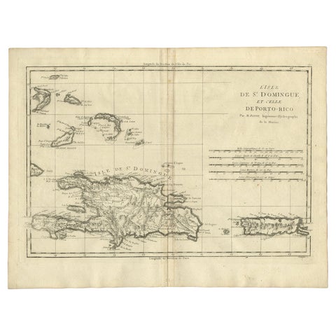
Detailed Antique Map of Santa Domingo, Puerto Rico, Eastern Bahamas, ca. 1780
1780 · Jacques-Nicolas Bellin
$785
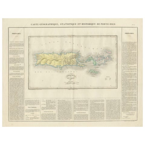
1825 Buchon Map of Puerto Rico & Virgin Islands with Detailed Colonial History
1825
$515
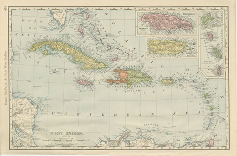
Antique Map of the West Indies, with Cuba, Jamaica and Puerto Rico, 1899
1899 · Rand McNally
$440
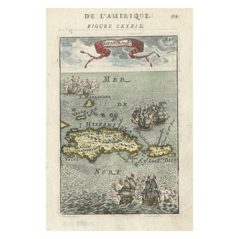
Antique 1683 Map of Hispaniola and Puerto Rico in the Caribbean by Mallet
1683
$425
★

States in Puerto Rico


Puerto Rico
4 pieces

Your favorites

Saved in this browser. Email the list to yourself to keep it on any device.

We use your email to send this list and, only if you tick the box and confirm, for occasional new arrivals. Every email has an unsubscribe link. Bartele Gallery, the Netherlands.

Your bag

Total

Each piece is bought on its own; shipping is added at checkout.