Original antique maps & prints of
Puerto Rico
★ 4 original pieces ★
A Spanish colony for four centuries, Puerto Rico was ceded to the United States in 1898. We currently hold 4 original sheets of Puerto Rico, published between 1683 and 1899. The earliest is Antique 1683 Map of Hispaniola and Puerto Rico in the Caribbean by Mallet.
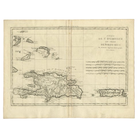
Detailed Antique Map of Santa Domingo, Puerto Rico, Eastern Bahamas, ca. 1780
1780 · Jacques-Nicolas Bellin
$785
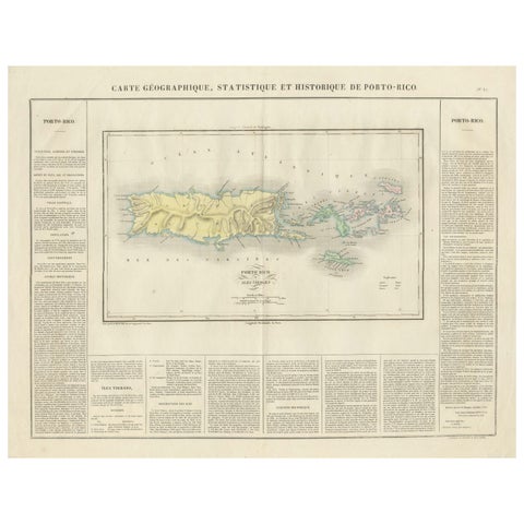
1825 Buchon Map of Puerto Rico & Virgin Islands with Detailed Colonial History
1825
$515
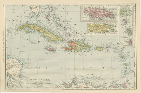
Antique Map of the West Indies, with Cuba, Jamaica and Puerto Rico, 1899
1899 · Rand McNally
$440
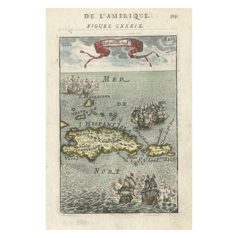
Antique 1683 Map of Hispaniola and Puerto Rico in the Caribbean by Mallet
1683
$425