A Bartele Gallery CollectionLangweer · Jakarta

American Maps & Prints
Original antique maps, charts & prints of the Americas ★ Originals only


Original antique maps & prints of

The Caribbean

★ 2 original pieces ★

The West Indies were among the most contested and most mapped waters in the world. Original charts, island maps and views of Cuba, Hispaniola, Jamaica, the Bahamas, Bermuda and the Lesser Antilles.

Cuba
16 pieces
Jamaica
18 pieces
Hispaniola (Haiti & Dominican Republic)
16 pieces
The Bahamas
3 pieces
Bermuda
2 pieces
The Lesser Antilles
34 pieces
The West Indies
70 pieces
★
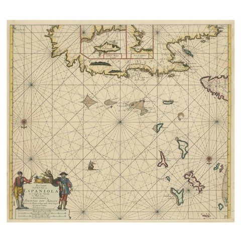
Original Antique Sea Chart - the Northern Part of Hispaniola, Western Cuba, 1684
1684 · Van Keulen
$2,125
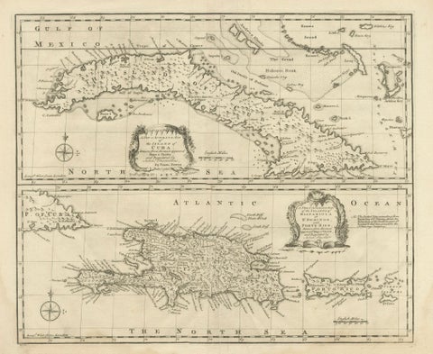
Antique Map of Cuba & Hispaniola, Caribbean Sea Chart by Bowen, 1744
1744 · Emanuel Bowen
$985

Your favorites

Saved in this browser. Email the list to yourself to keep it on any device.

We use your email to send this list and, only if you tick the box and confirm, for occasional new arrivals. Every email has an unsubscribe link. Bartele Gallery, the Netherlands.

Your bag

Total

Each piece is bought on its own; shipping is added at checkout.