Original antique maps & prints of
Hispaniola (Haiti & Dominican Republic)
★ 16 original pieces ★
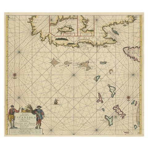
Original Antique Sea Chart - the Northern Part of Hispaniola, Western Cuba, 1684
1684 · Van Keulen
$2,125
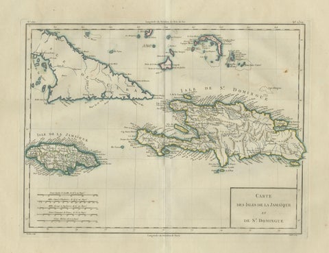
Antique Caribbean Map, Jamaica Cuba Saint-Domingue, Tardieu, c.1775
1775
$1,115
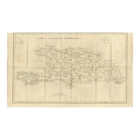
Saint Domingue Map 1793 – Colonial Haiti and Dominican Republic Plan
1793
$1,075
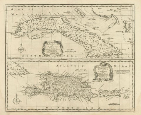
Antique Map of Cuba & Hispaniola, Caribbean Sea Chart by Bowen, 1744
1744 · Emanuel Bowen
$985
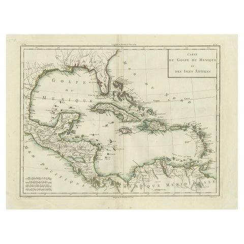
Antique Map of the Gulf of Mexico and Caribbean Islands by Tardieu, 1802
1802
$625
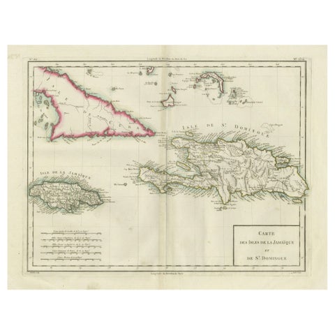
Antique Map of Jamaica and Hispaniola (Saint-Domingue and Santo Domingo), 1802
1802
$625
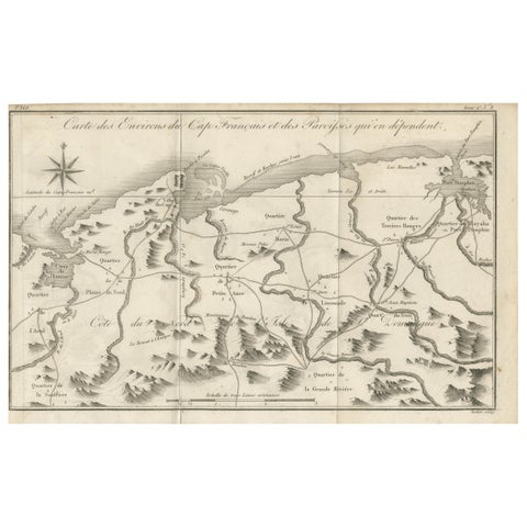
Antique Map of the Environs of Cap-Français, Saint-Domingue, c.1760
1760
$490
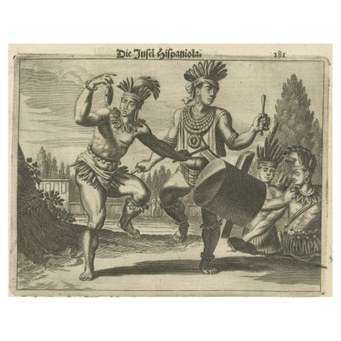
Copper Engraving of Hispaniola - Indigenous Life in America by Montanus, 1673
1673 · Montanus & Ogilby
$460
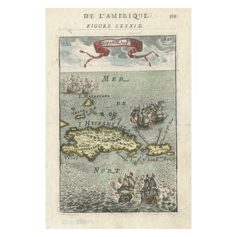
Antique 1683 Map of Hispaniola and Puerto Rico in the Caribbean by Mallet
1683
$425
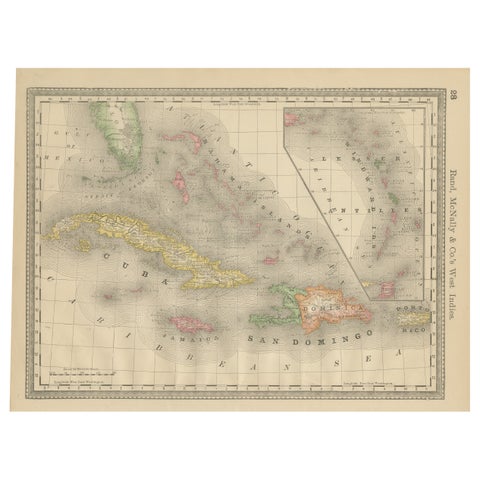
Antique Caribbean Map Wall Art – Cuba Jamaica Hispaniola, Rand McNally, ca.1888
1888 · Rand McNally
$405
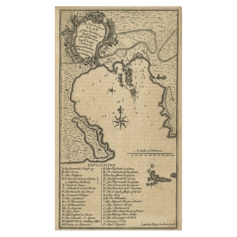
Rare Map of St. Louis on the Island of Hispaniola 'Santa Domingo', 1748
1748
$390
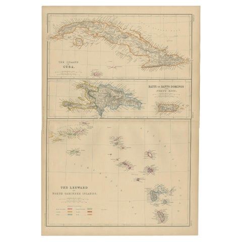
Cuba, Hayti, Santo Domingo and Leeward Islands, Antique Caribbean Map, 1859
1859
$325
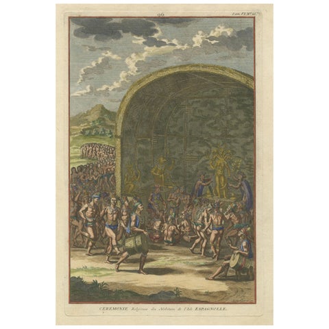
Religious Ceremony of the Inhabitants of the Island of Hispaniola, 1734
1734
$315
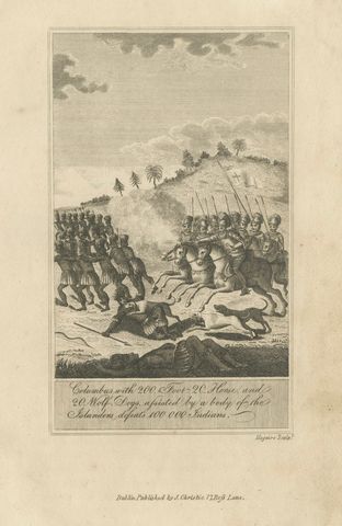
Christopher Columbus Battle in Hispaniola, Antique Engraving, Dublin c.1815
1815
$285
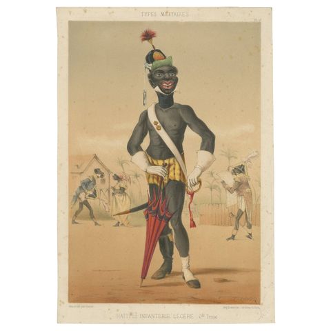
Haiti Light Infantry, Types Militaires – Antique Caricature Lithograph, ca.1862
1862
$225
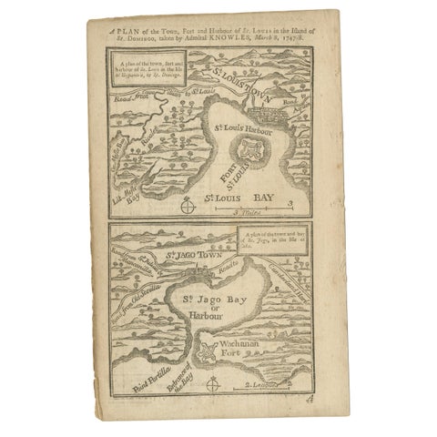
Antique Map of Fort Saint Louis and Santiago de Cuba, 1748
1748
$215
★
More of The Caribbean