

A Bartele Gallery CollectionLangweer · Jakarta

American Maps & Prints
Original antique maps, charts & prints of the Americas ★ Originals only


Home › The United States › Illinois
Antique Map of Illinois by Johnson, 1872
1872 · Maps

Antique Map of Illinois by Johnson, 1872

$280
€250 · dollar price at today's exchange rate

Buy now Ask a question

Shipping to the United States: $51 standard, $73 express, insured and tracked.

Date
1872
Maker
A. J. Johnson
Kind
Maps
Size
46 × 67 cm (18.1 × 26.4 in)
Condition
Fair. General age-related toning, shows minor wear and creasing. Some soiling. Original folding line. English text on verso. Please study images carefully.
Period
The Gilded Age
Places
Illinois
Reference
BG-12592-49
What the condition grades mean
Excellent
Bright and clean, with no faults worth mentioning.
Very good
Only light signs of age, such as faint toning.
Good
Normal signs of age for a sheet of this period: toning, some foxing, small marks or neat old repairs.
Fair
Clear faults such as staining, tears or repairs, priced to match.

Every fault we see is written in the condition note, and the whole sheet is shown uncropped in the photos.

Guaranteed original. This is an original of the period stated, not a later reproduction or print-on-demand copy. If it is ever shown to be otherwise, we refund you in full.
Shipping to the United States. Sent from our gallery in Langweer, the Netherlands, flat between boards or rolled in a tube, and fully insured. Delivery and import charges.

About this piece

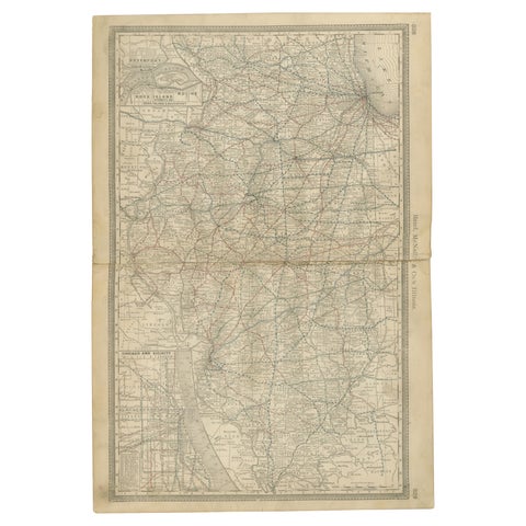
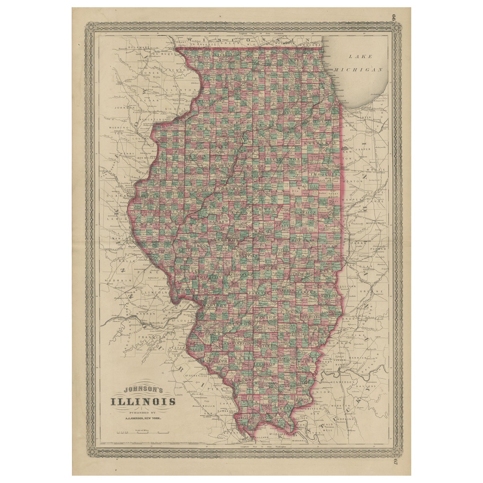
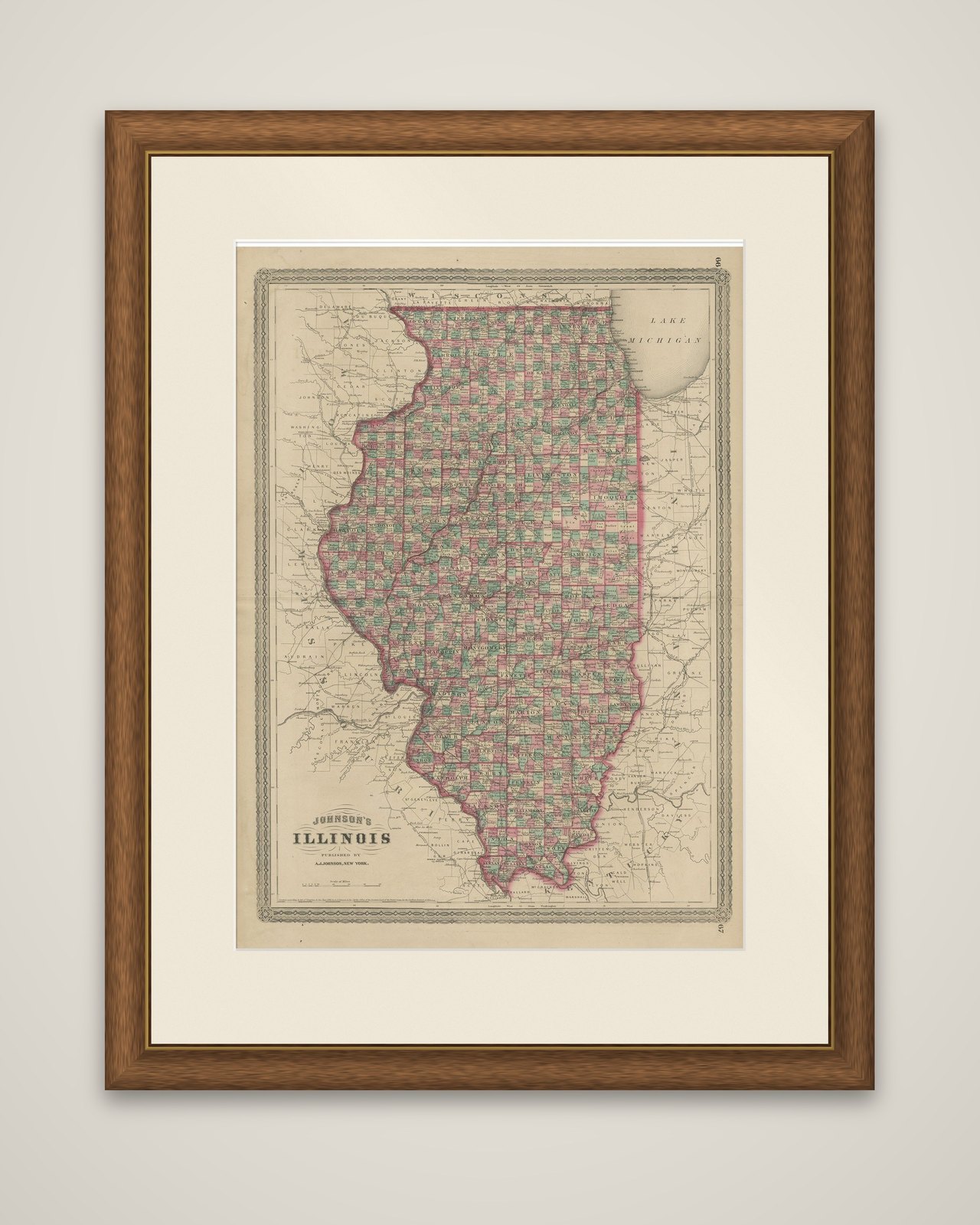
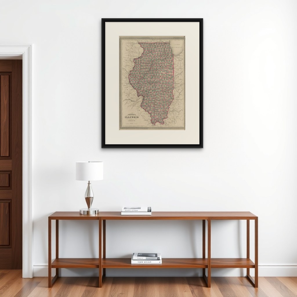
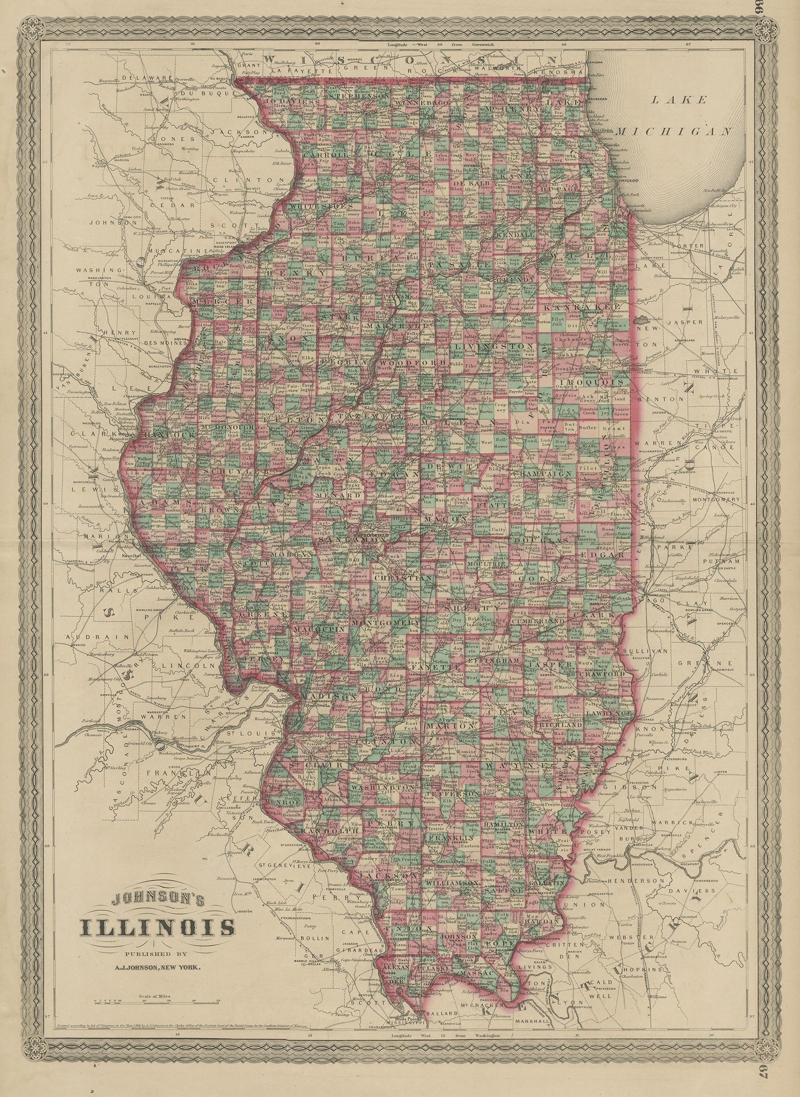
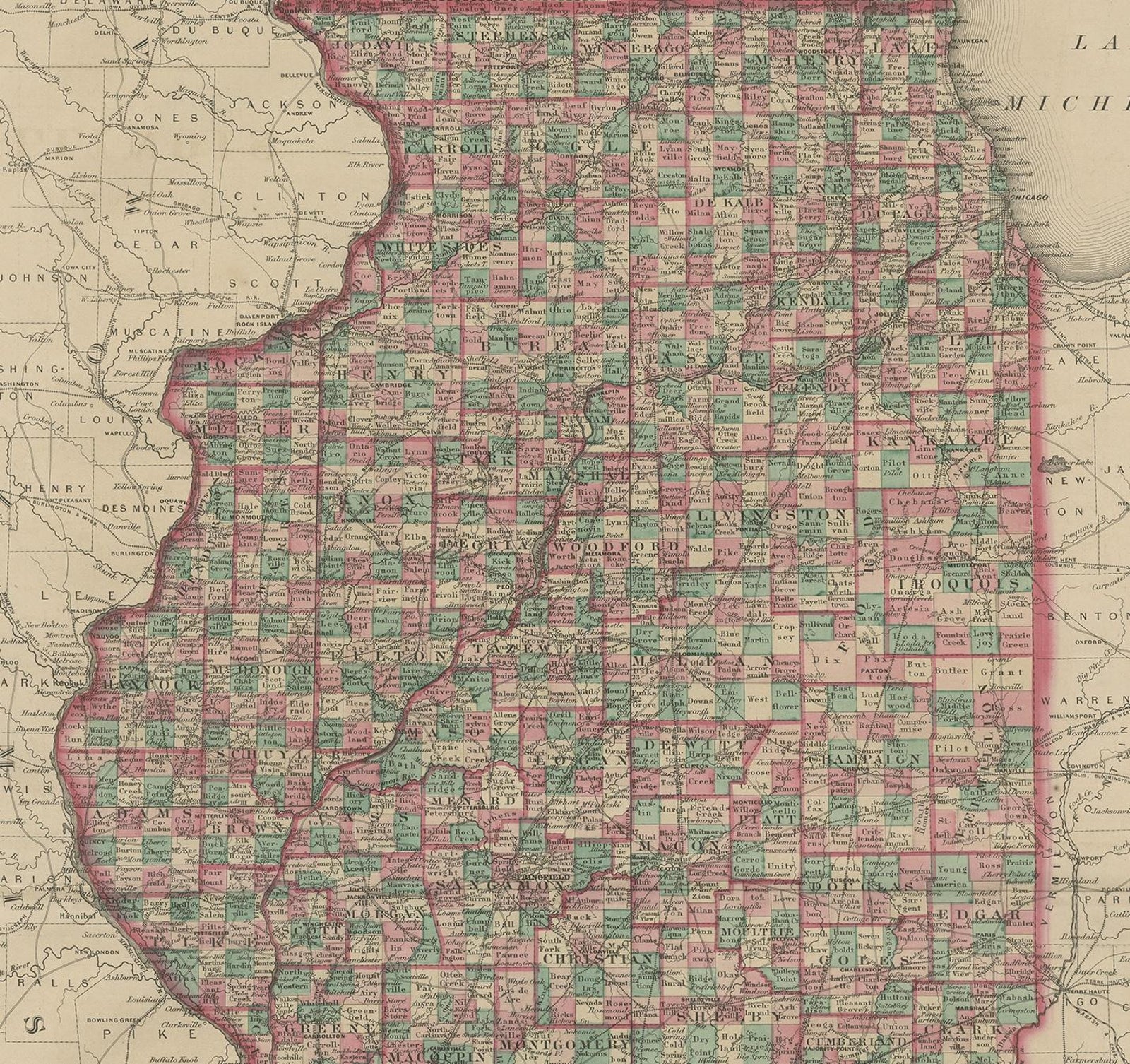
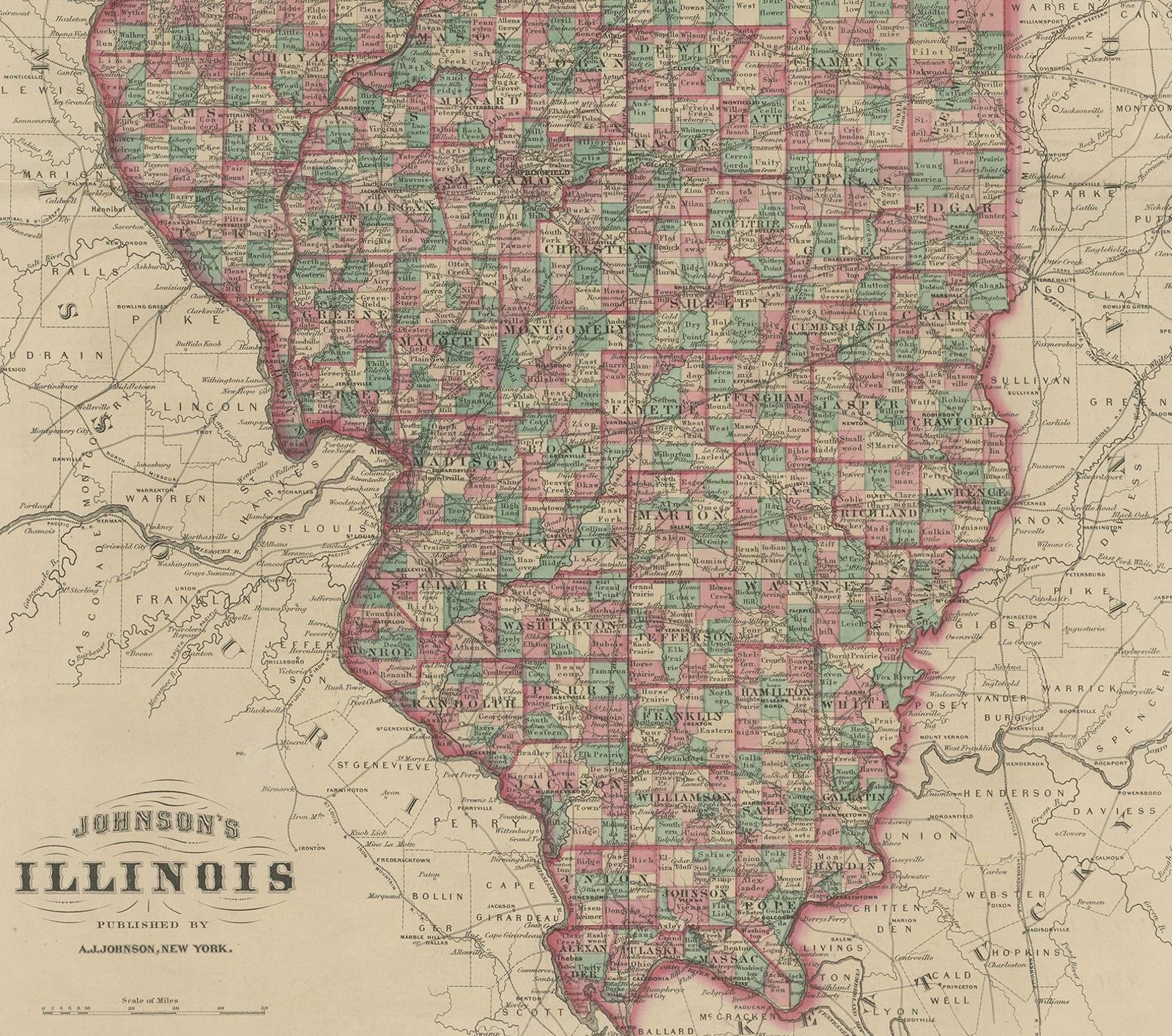
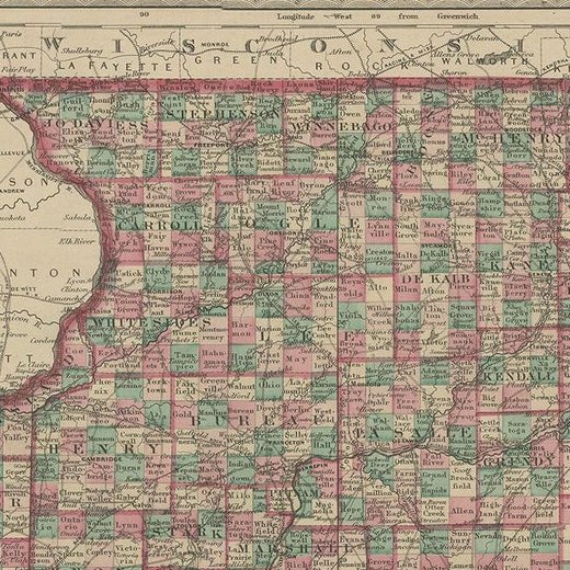
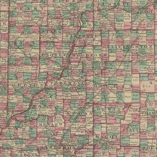
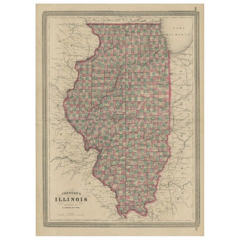
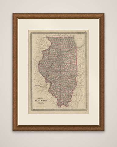
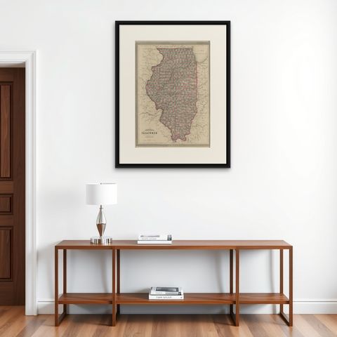
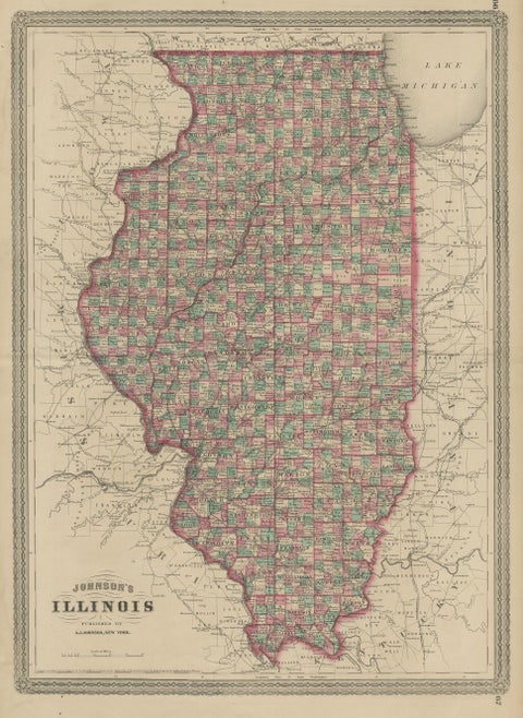
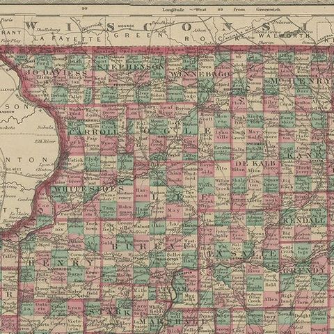
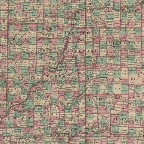
Illinois, an original map from Johnson's New Illustrated Family Atlas of the World, published by A.J. Johnson of New York, dated 1872. The sheet is printed in black with the counties outlined and tinted in pink, green and yellow, set within a decorative ruled border.

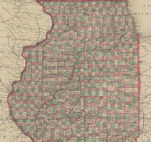
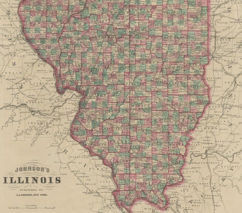
The state fills the sheet from the Wisconsin line at the top to the confluence of the Ohio and Mississippi rivers at its southern tip. The title "Johnson's Illinois, published by A.J. Johnson, New York" is lettered at the lower left, and Lake Michigan appears at the upper right. Illinois is divided into a dense pattern of small counties, each with its county seat and the surrounding towns, and railroad lines cross the state, many of them converging on Chicago at the southern end of the lake. The Mississippi forms the western boundary against Iowa and Missouri, and the Wabash and Ohio rivers mark the eastern and southern edges. Parts of Wisconsin, Indiana, Kentucky and Missouri are shown in the margins.

The atlas page numbers are printed in the corners of the sheet.

★

More of Illinois


Antique Map of the Coal Fields of the United States by Walker '1874'
1874
$760
Antique Albumen Print of The Palmer House, Chicago 'c.1890'
1890
$670
Detailed Antique Map of Illinois – Railroads, Cities & Counties, 1888
1888 · Rand McNally
$535
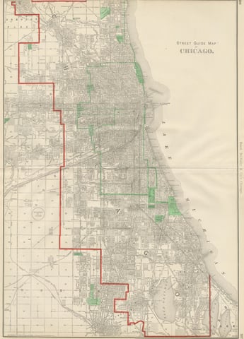
Antique Street Map of Chicago, with the Loop and Lakefront, Rand McNally, 1899
1899 · Rand McNally
$500
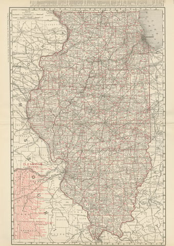
Antique Map of Illinois, The Prairie State, Rand McNally, 1899
1899 · Rand McNally
$440
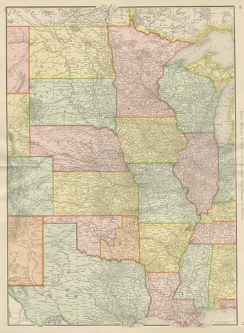
Antique Map of the Central United States, Chicago to Denver, Rand McNally, 1899
1899 · Rand McNally
$440
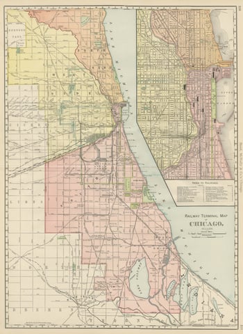
Antique Map of Chicago Railway Terminals, The Windy City, Rand McNally, 1899
1899 · Rand McNally
$440
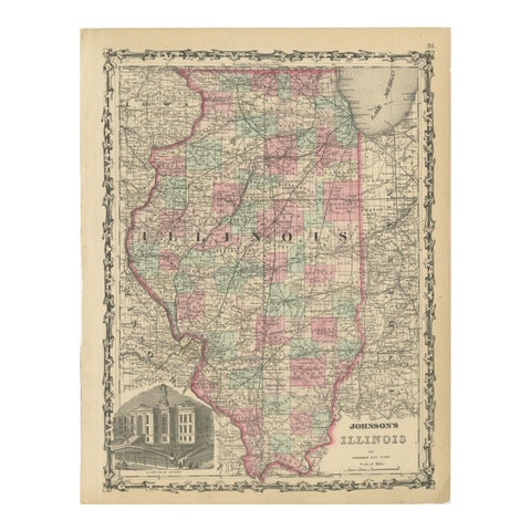
Johnson’s Illinois Map, USA c.1864 – Hand-Colored with Chicago Courthouse View
1864
$300

Ask about this print

We reply by email, usually within one working day.

Your favorites

Saved in this browser. Email the list to yourself to keep it on any device.

We use your email to send this list and, only if you tick the box and confirm, for occasional new arrivals. Every email has an unsubscribe link. Bartele Gallery, the Netherlands.

Your bag

Total

Each piece is bought on its own; shipping is added at checkout.