1899 · Maps
Antique Map of Kansas City, at the Kaw River Confluence, Rand McNally, 1899
$330
€295 · dollar price at today's exchange rate
Buy now Ask a question
Shipping to the United States: $51 standard, $73 express, insured and tracked.
- Date
- 1899
- Maker
- Rand McNally
- Kind
- Maps
- Technique
- Lithograph
- Color
- Printed color
- Size
- 36 × 52 cm (14.2 × 20.5 in)
- Condition
- Good. Good condition for its age. Light age toning, deeper toward the sheet edges, a few faint spots in the margins and minor wear to the edges. Please review the images for further condition details.
- Period
- The Gilded Age
- Places
- Missouri
- Reference
- BG-12793-2-52
What the condition grades mean
- Excellent
- Bright and clean, with no faults worth mentioning.
- Very good
- Only light signs of age, such as faint toning.
- Good
- Normal signs of age for a sheet of this period: toning, some foxing, small marks or neat old repairs.
- Fair
- Clear faults such as staining, tears or repairs, priced to match.
Every fault we see is written in the condition note, and the whole sheet is shown uncropped in the photos.
Guaranteed original. This is an original of the period stated, not a later reproduction or print-on-demand copy. If it is ever shown to be otherwise, we refund you in full.
Shipping to the United States. Sent from our gallery in Langweer, the Netherlands, flat between boards or rolled in a tube, and fully insured.
Delivery and import charges.
About this piece
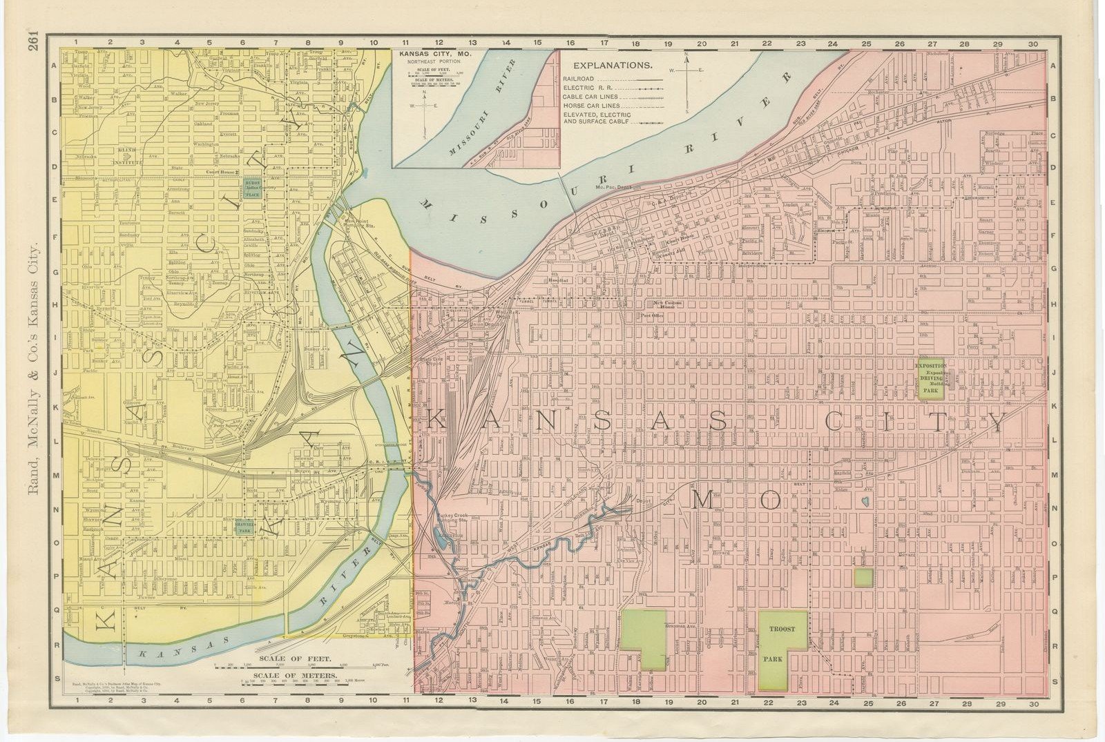
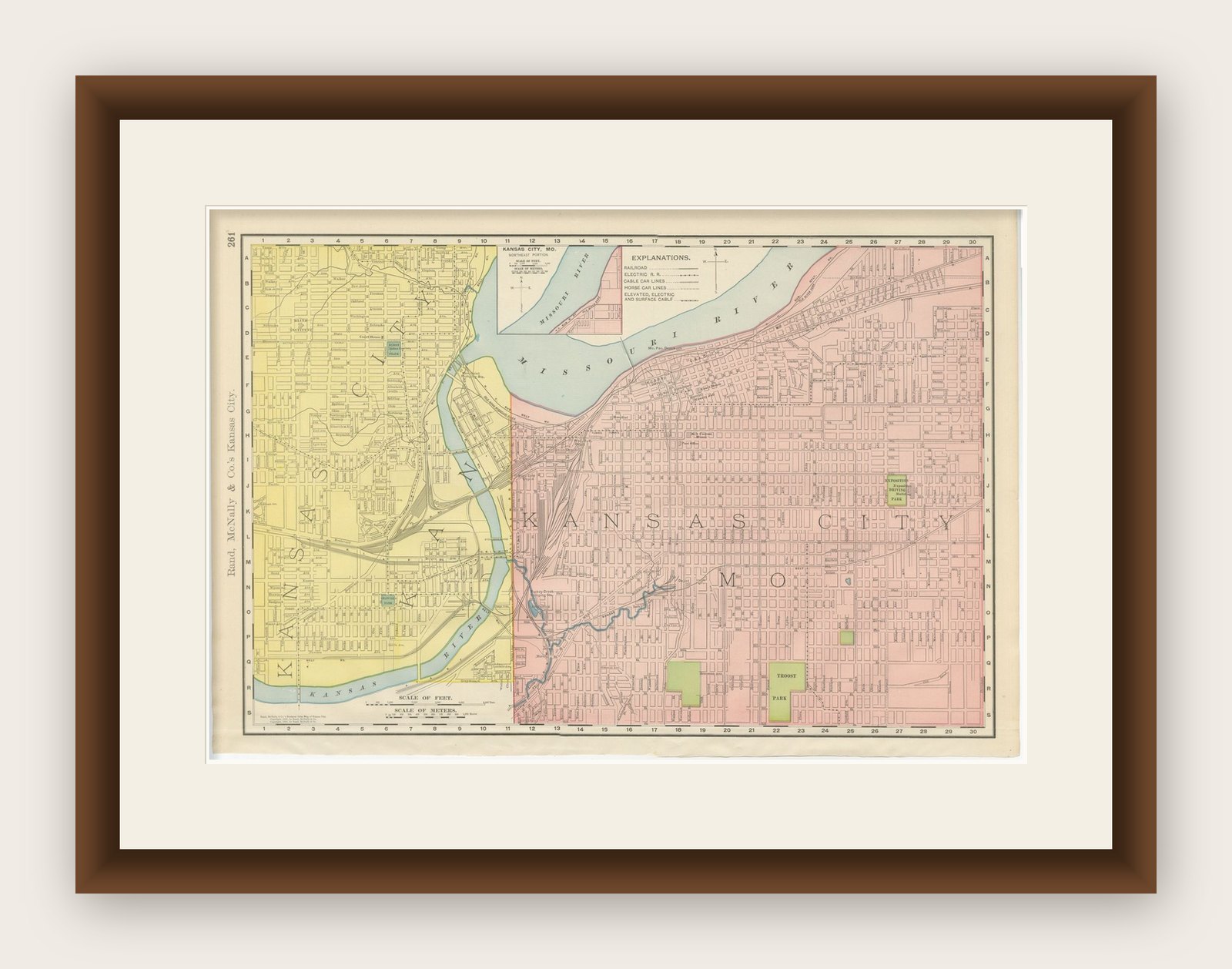
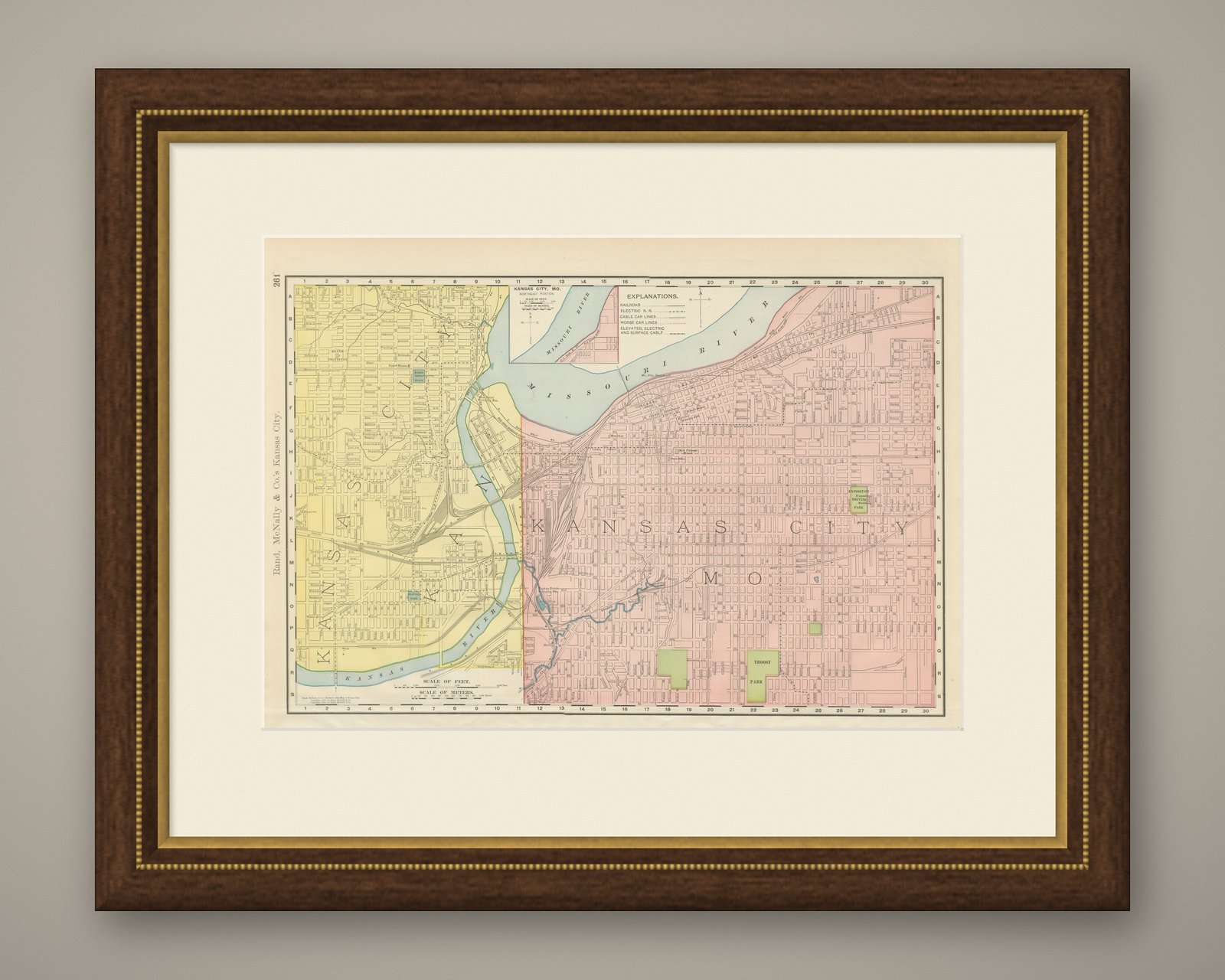
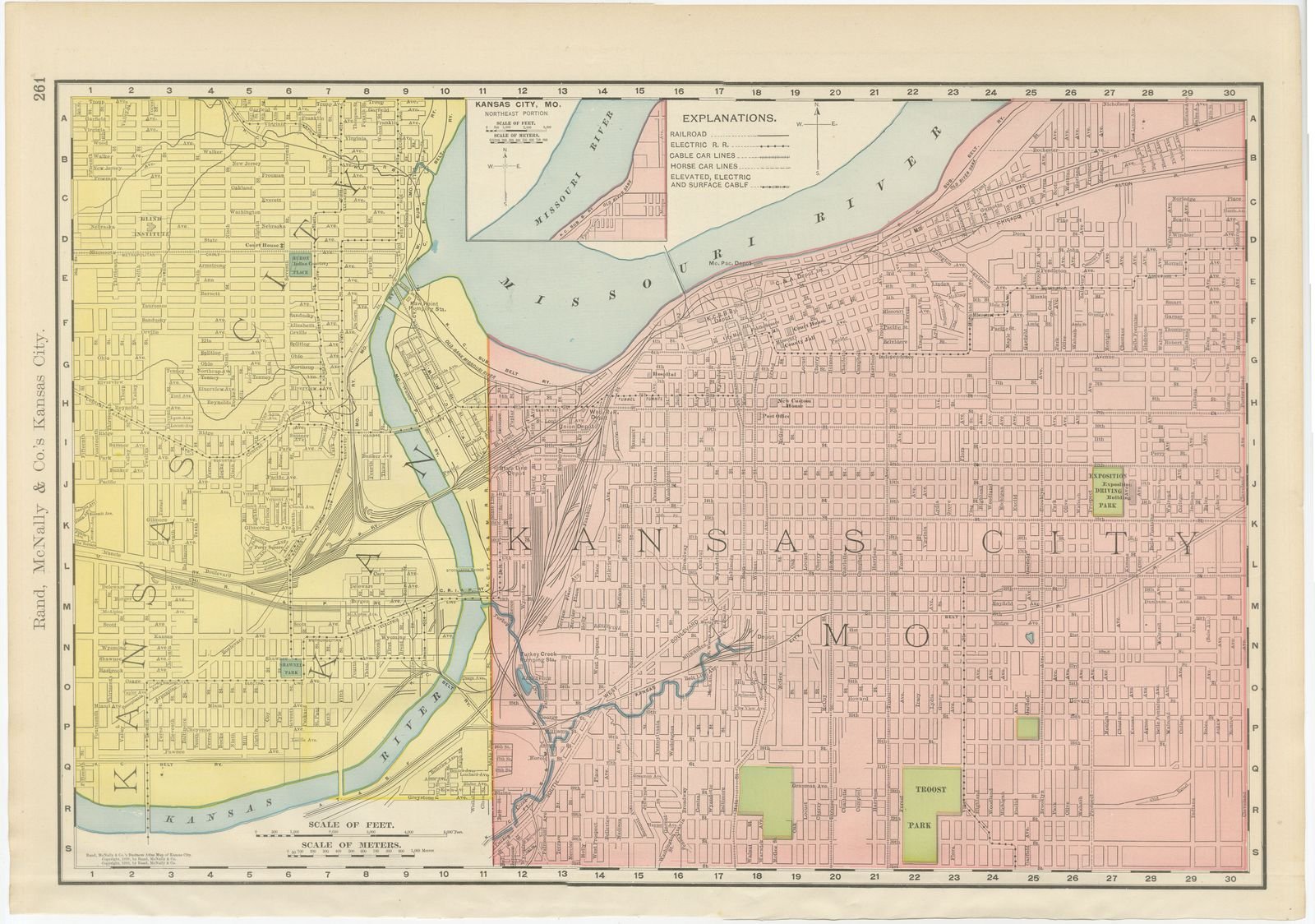
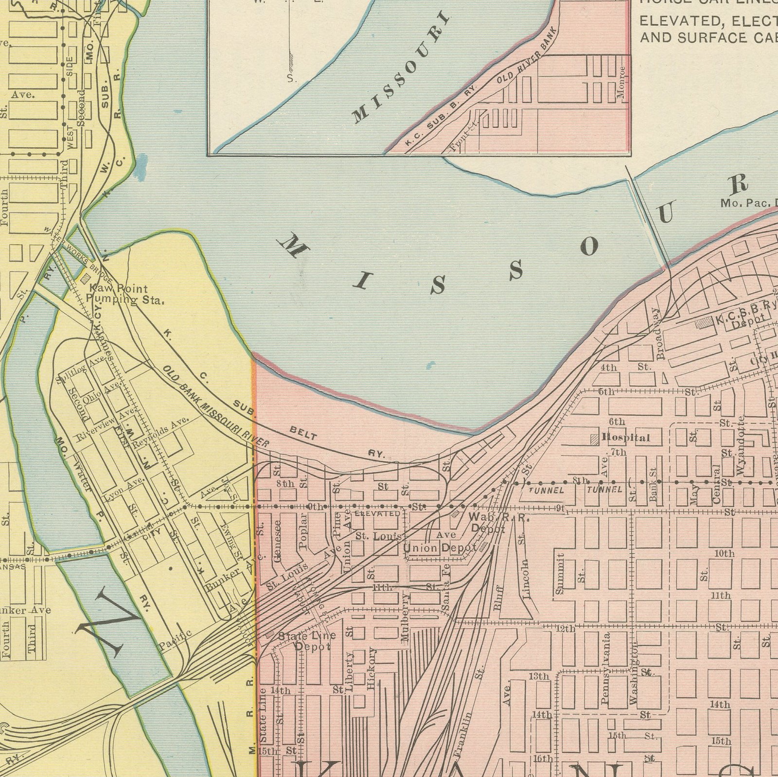
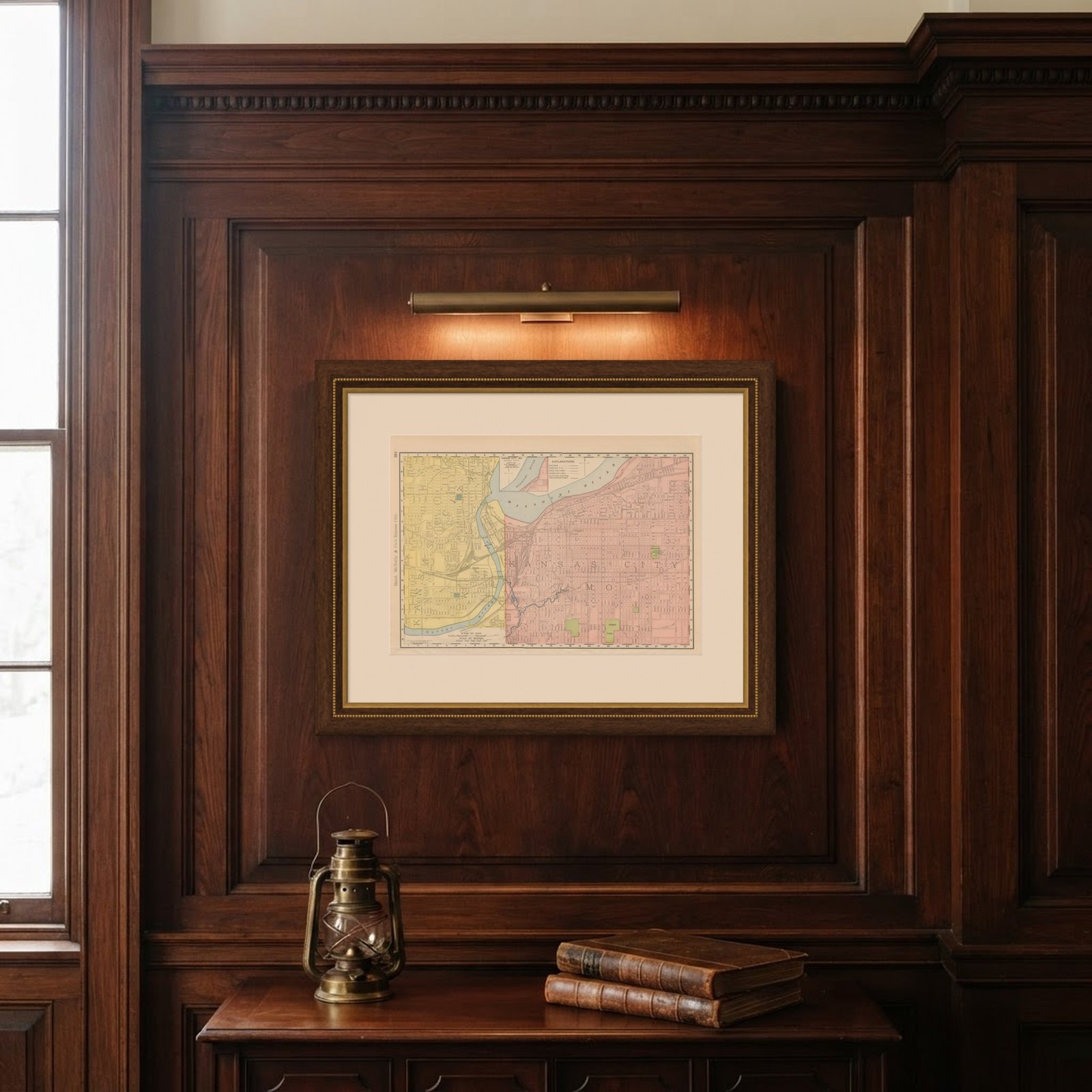
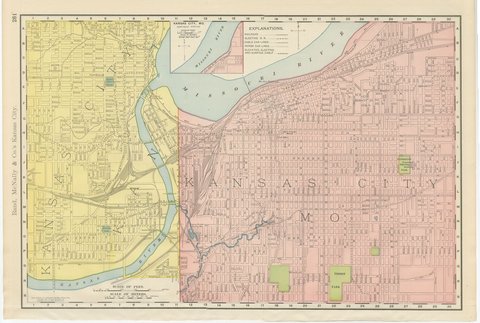
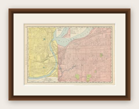
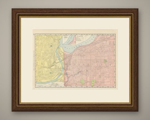
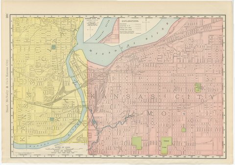
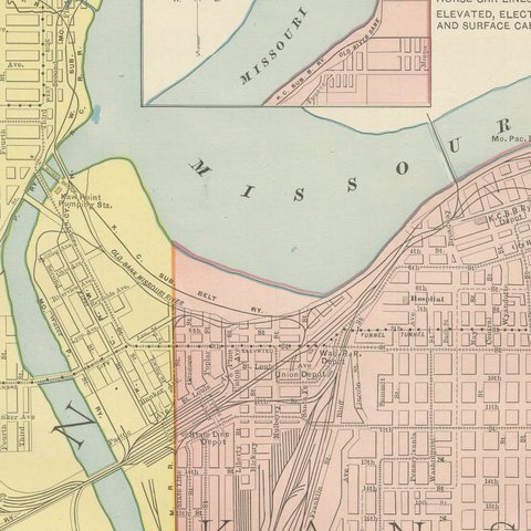
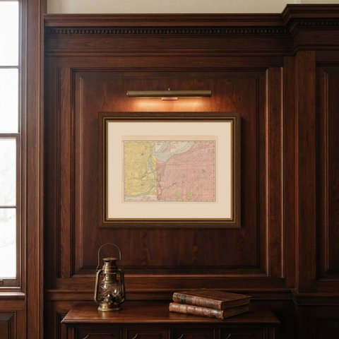
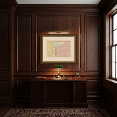
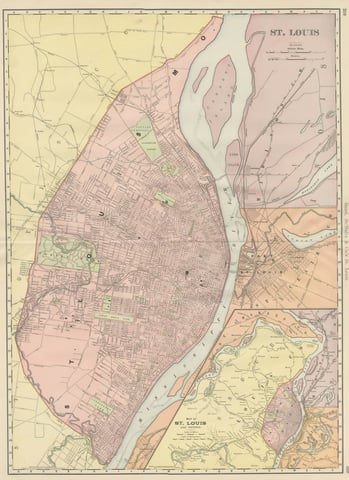
This antique map of Kansas City, printed by Rand McNally in 1899 on page 261 of its indexed atlas, shows the two Kansas Cities on either side of the state line. Kansas City, Kansas, is tinted yellow on the west bank of the Kansas and Missouri Rivers, and Kansas City, Missouri, is tinted pink across the state line to the east, the boundary running down the middle of the mouth of the Kansas River where it joins the Missouri. The Missouri River curls along the top of the sheet, and a small inset at upper left enlarges the northeast portion of the Missouri-side city for the reader tracing a particular street.
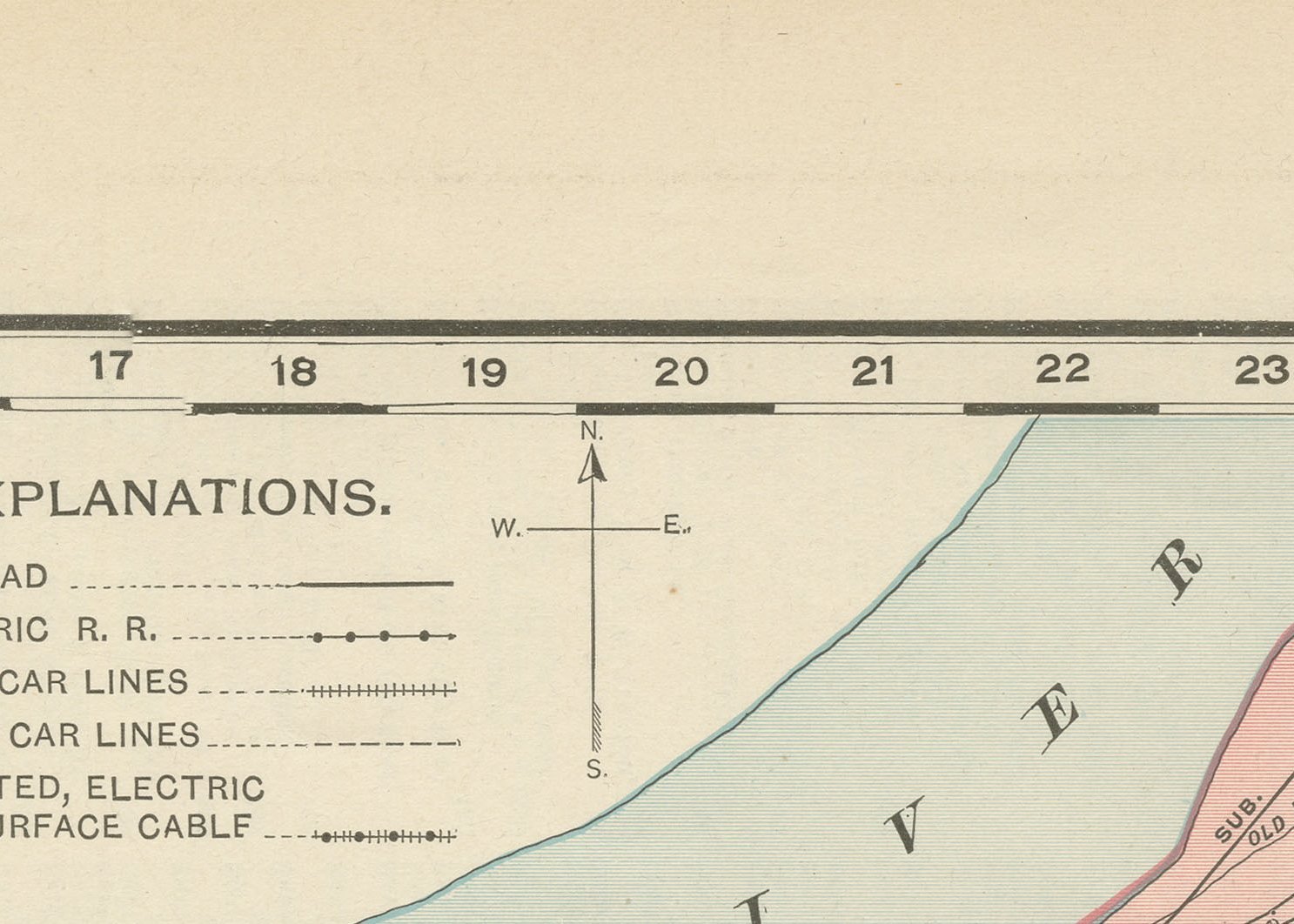
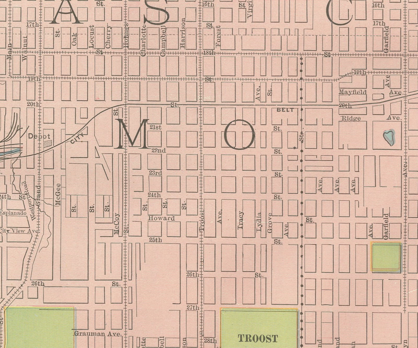
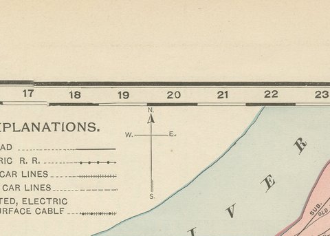
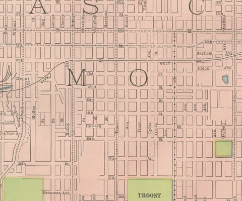
A legend in the upper margin distinguishes steam railroad, electric railroad, cable car, horse car, and elevated or surface cable lines, each in its own line style across the crowded transit network converging on the business district on the Missouri side. Troost Park and the Exposition Driving Park are marked among the green park blocks there, while the Kansas side is laid out in a more regular residential grid running back from the river bluffs, with Huron Place, Bethany Place and Hawes Park among its named subdivisions.
Scale bars in feet and meters run along the lower margin, and the sheet notes its copyright to Rand McNally's Business Atlas Map of Kansas City.
Rand McNally, which grew from a Chicago printing business begun in the 1850s by William Rand and joined by Andrew McNally, was by the 1890s one of the foremost map publishers in the United States. This antique map of Kansas City is a color lithograph: the outline is printed in black, and the yellow and pink city tints and the blue of the two rivers are printed in color over it. It is an original 1899 atlas sheet, and it is suitable for framing. The color is printed rather than applied by hand.
The sheet is in good condition for its age, with light age toning, deeper toward the sheet edges, a few faint spots in the margins and minor wear to the edges. Please review the images for further condition details.
This is an original antique map, not a modern reproduction. This item is sold unframed.