



A Bartele Gallery CollectionLangweer · Jakarta

American Maps & Prints
Original antique maps, charts & prints of the Americas ★ Originals only


Home › Canada & the North
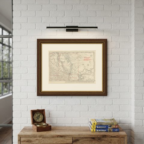
Antique Map of Manitoba, with Lake Winnipeg, Rand McNally, 1899
1899 · Maps

Antique Map of Manitoba, with Lake Winnipeg, Rand McNally, 1899

$330
€295 · dollar price at today's exchange rate

Buy now Ask a question

Shipping to the United States: $51 standard, $73 express, insured and tracked.

Date
1899
Maker
Rand McNally
Kind
Maps
Technique
Lithograph
Color
Printed color
Size
36 × 52 cm (14.2 × 20.5 in)
Condition
Good. Good condition for its age. Age toning, deeper at the sheet edges, a small crease to the upper left corner, a few small spots and minor edge wear. Please review the images for further condition details.
Period
The Gilded Age
Places
Canada
Reference
BG-12793-2-78
What the condition grades mean
Excellent
Bright and clean, with no faults worth mentioning.
Very good
Only light signs of age, such as faint toning.
Good
Normal signs of age for a sheet of this period: toning, some foxing, small marks or neat old repairs.
Fair
Clear faults such as staining, tears or repairs, priced to match.

Every fault we see is written in the condition note, and the whole sheet is shown uncropped in the photos.

Guaranteed original. This is an original of the period stated, not a later reproduction or print-on-demand copy. If it is ever shown to be otherwise, we refund you in full.
Shipping to the United States. Sent from our gallery in Langweer, the Netherlands, flat between boards or rolled in a tube, and fully insured. Delivery and import charges.
About this piece

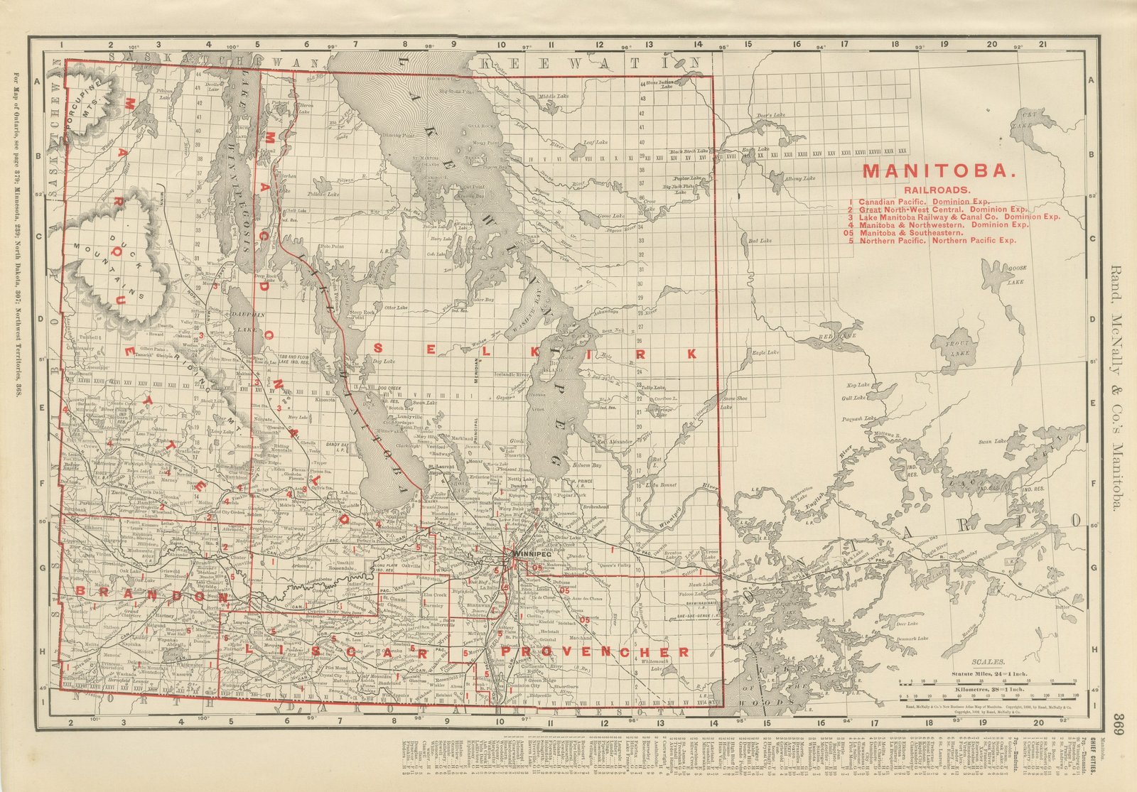
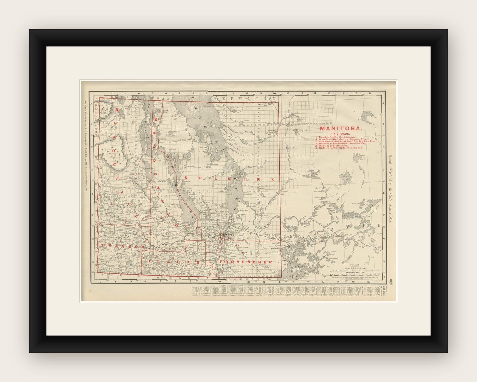
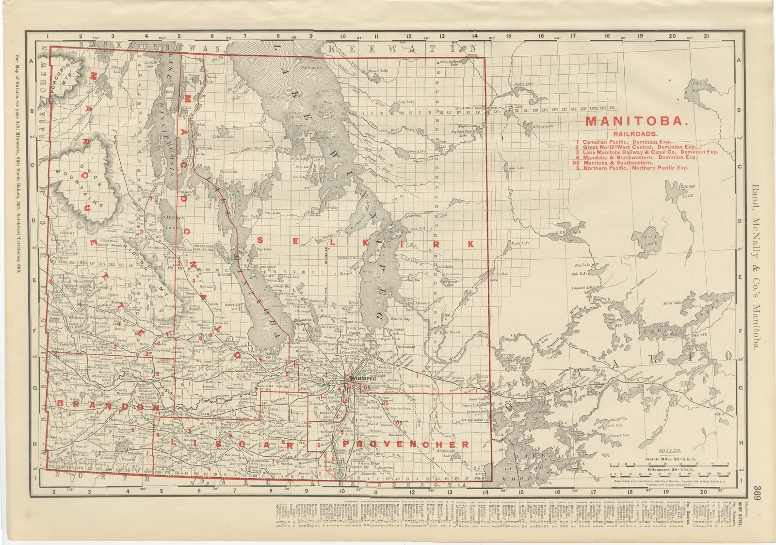
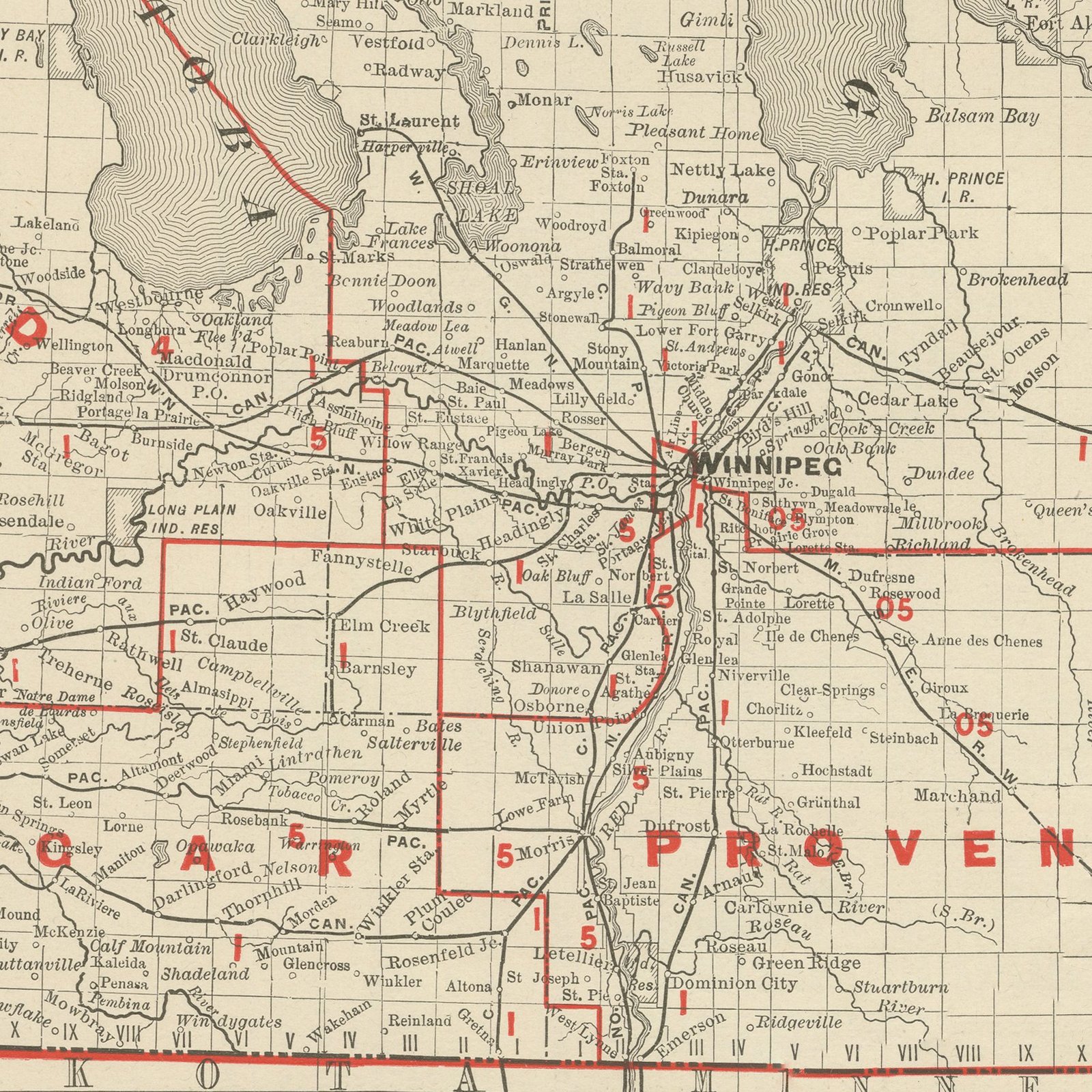
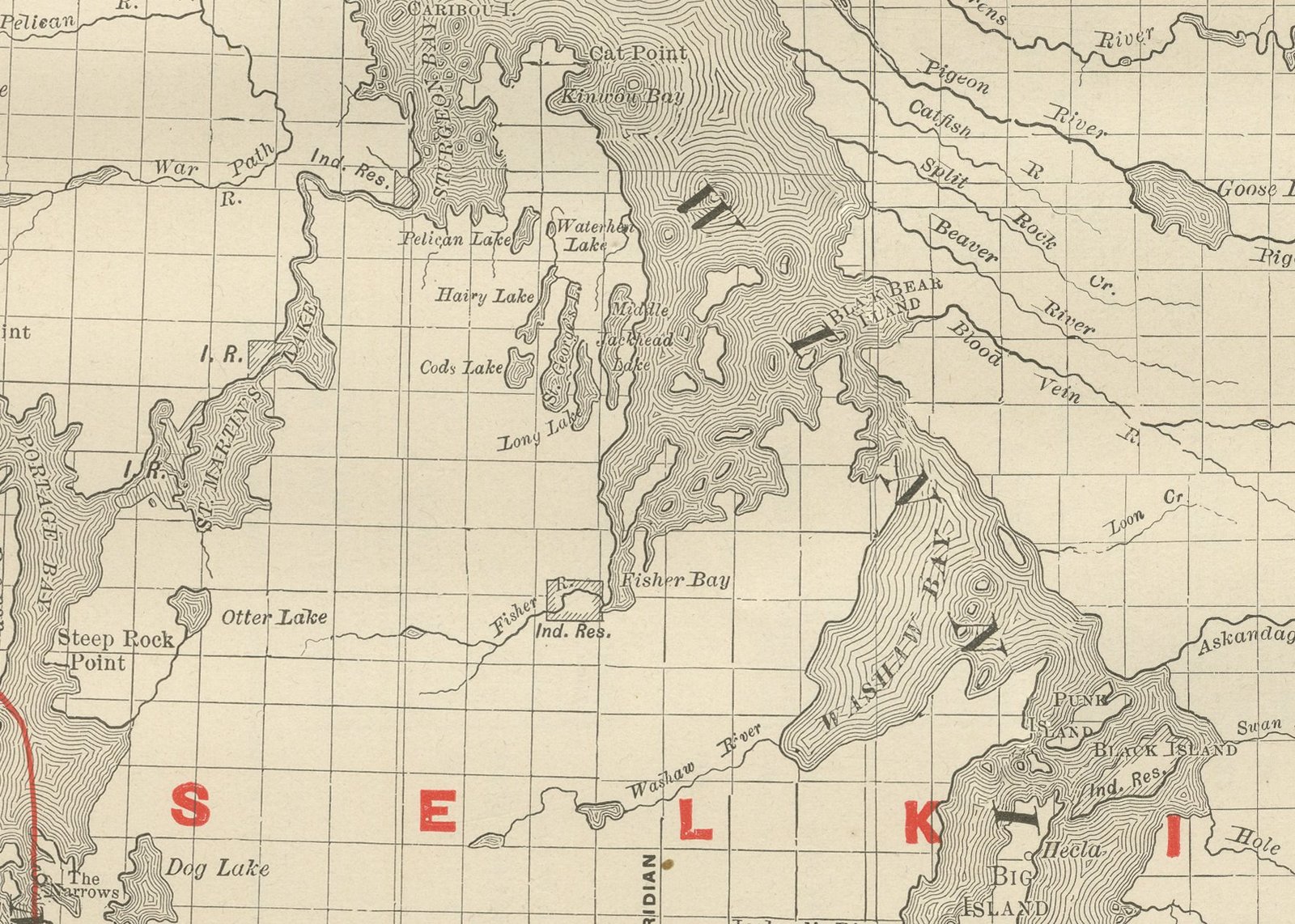
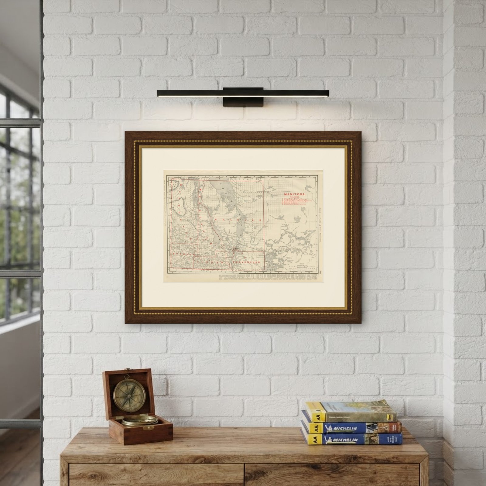
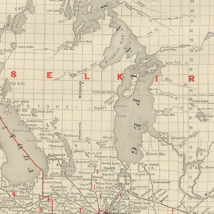
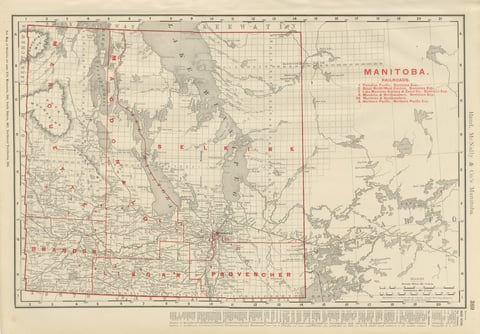
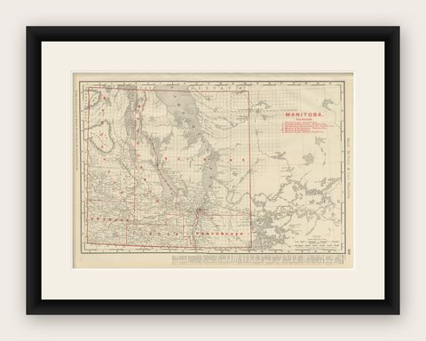
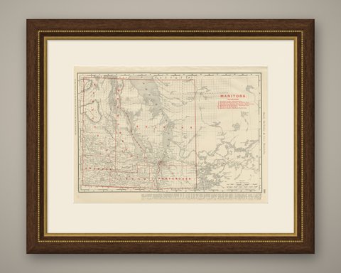
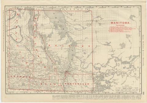
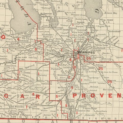
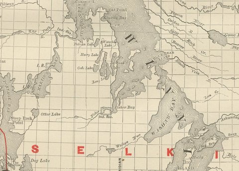
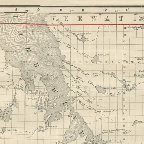
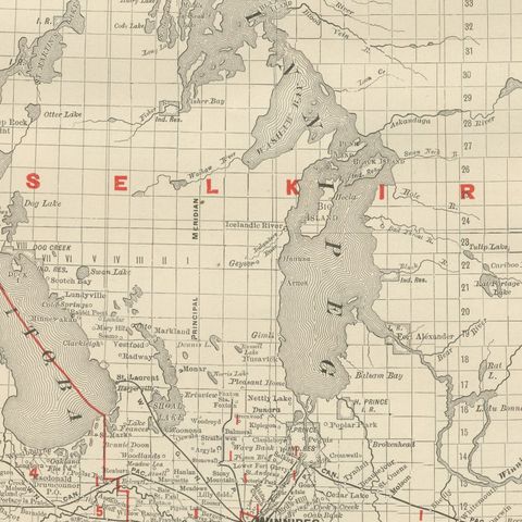
This antique map of Manitoba, published by Rand McNally in 1899 on page 369 of its indexed atlas, runs from the Saskatchewan and North West Territories border in the west, where a partial township survey grid already extends into the unorganised country, to the edge of Ontario and the Lake of the Woods district in the east. Lake Winnipeg, Lake Manitoba, Lake Winnipegosis and Lake Saint Martin, the chain of large shallow lakes that dominates the center of the province, are mapped in full, with the Dauphin, Riding Mountain, Duck Mountain and Porcupine Mountain uplands in hachured relief to the west.

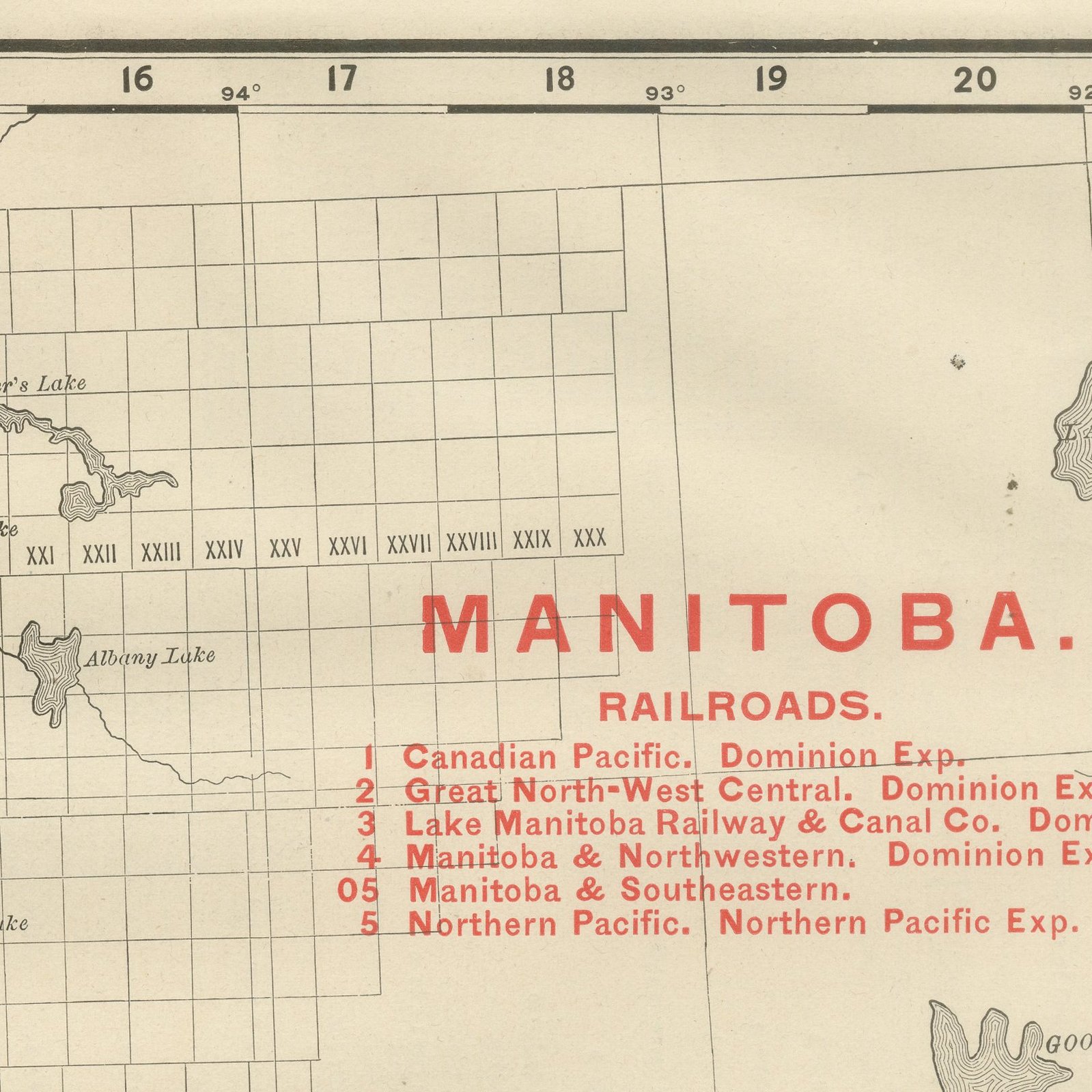
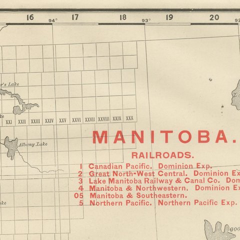
The federal electoral divisions of Marquette, Selkirk, Lisgar and Provencher are named and outlined in red, with Brandon shown as its own district in the southwest, and Winnipeg is marked at the meeting of the Red and Assiniboine Rivers. A red-numbered railroad key at upper right lists five companies then operating, the Canadian Pacific, the Great North-West Central, the Lake Manitoba Railway and Canal Company, the Manitoba and Northwestern and the Manitoba and Southeastern, together with the Northern Pacific reaching up from the American border.

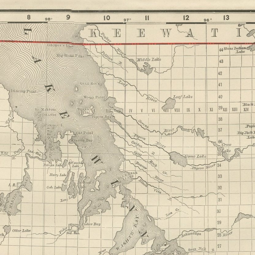
The Keewatin district east of the province, still federal territory rather than part of Manitoba in 1899 (the provincial boundaries would not reach their present line until 1912), is crossed only by survey township lines and left largely unnamed. Scale is given as 24 statute miles to the inch, and a note directs the reader to the adjoining Ontario map for the territory further east.

Rand McNally, which grew from a Chicago printing business started in the 1850s by William Rand and joined by Andrew McNally, was by the 1890s one of the leading map publishers in the United States, known for railroad maps revised from issue to issue. This antique map of Manitoba is an original 1899 atlas sheet, printed as a color lithograph with the outline in black and the colors printed over it. It is suitable for framing. The color is printed rather than applied by hand.

The sheet is in good condition for its age, with age toning, deeper at the sheet edges, a small crease to the upper left corner, a few small spots and minor edge wear. Please review the images for further condition details.

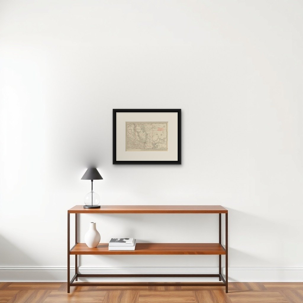
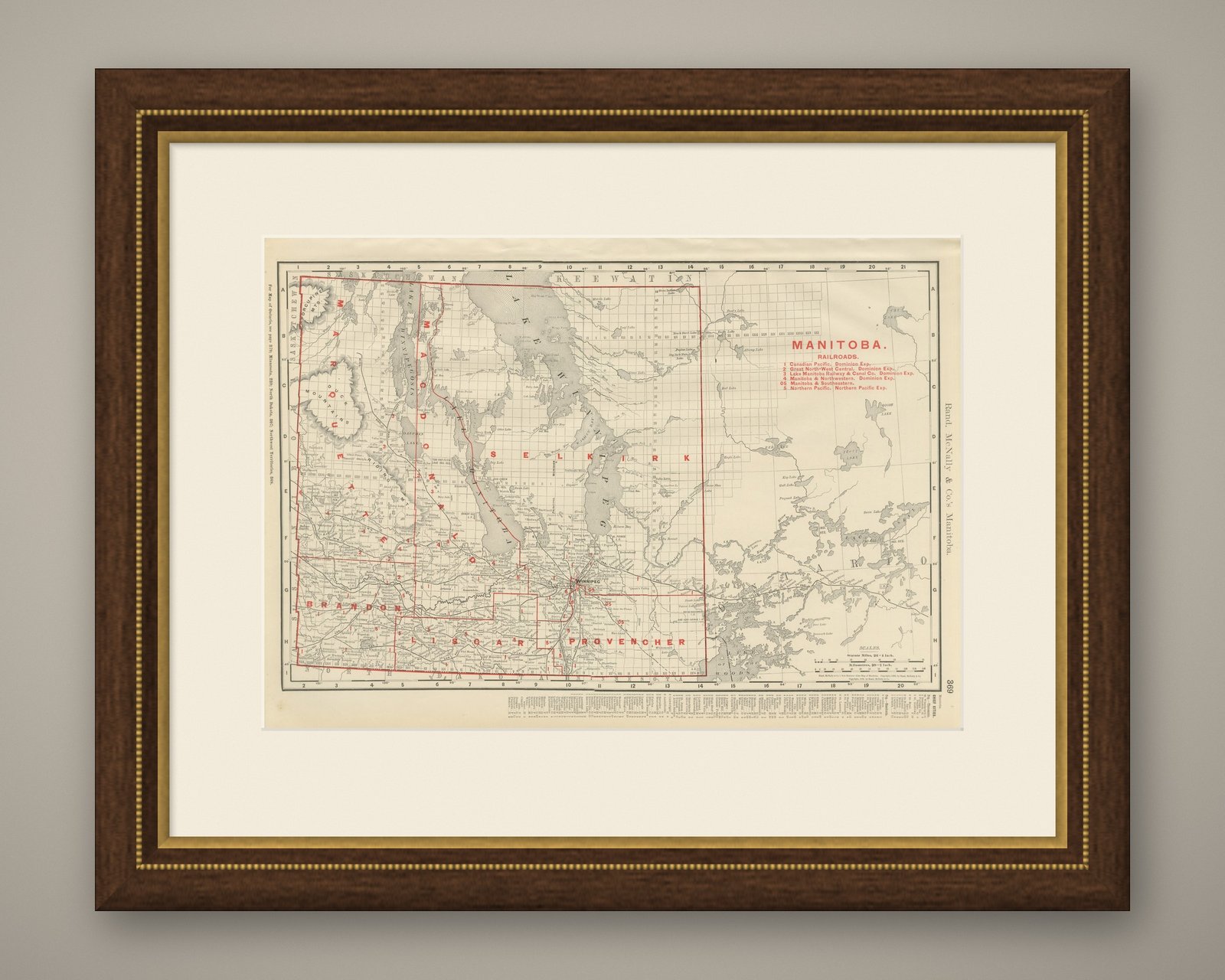
This is an original antique map, not a modern reproduction. This item is sold unframed.

★

You might also like


Antique Map of the North West Territories, Before Alberta and Saskatchewan, 1899
1899 · Rand McNally
$330
Antique Map of Toronto, with Queen's Park, Rand McNally, 1899
1899 · Rand McNally
$330
Antique Map of British America, with Hudson Bay, Rand McNally, 1899
1899 · Rand McNally
$440
Antique Map of British Columbia, with Queen Charlotte Islands, 1899
1899 · Rand McNally
$385
Antique Maritimes Map, New Brunswick, Nova Scotia and Prince Edward Island, 1899
1899 · Rand McNally
$330
Antique Map of Ontario, with Toronto and Ottawa Insets, Rand McNally, 1899
1899 · Rand McNally
$385
Antique Map of Quebec, with Gaspé Inset, Rand McNally, 1899
1899 · Rand McNally
$385
Antique Map of Montreal, with Mount Royal Park, Rand McNally, 1899
1899 · Rand McNally
$385

Ask about this print

We reply by email, usually within one working day.

Your favorites

Saved in this browser. Email the list to yourself to keep it on any device.

We use your email to send this list and, only if you tick the box and confirm, for occasional new arrivals. Every email has an unsubscribe link. Bartele Gallery, the Netherlands.

Your bag

Total

Each piece is bought on its own; shipping is added at checkout.