
A Bartele Gallery CollectionLangweer · Jakarta

American Maps & Prints
Original antique maps, charts & prints of the Americas ★ Originals only


Home › Latin America › Brazil
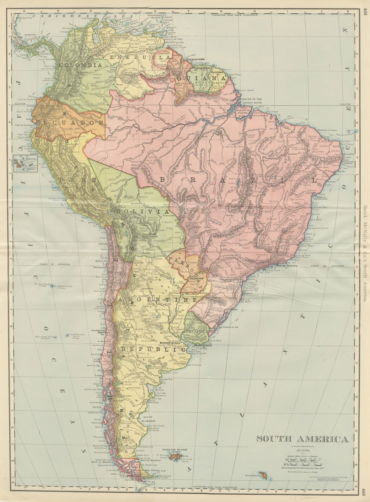
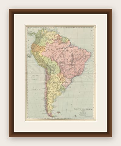
Antique Map of South America, with the Amazon Basin, Rand McNally, 1899
1899 · Maps

Antique Map of South America, with the Amazon Basin, Rand McNally, 1899

$330
€295 · dollar price at today's exchange rate

Buy now Ask a question

Shipping to the United States: $51 standard, $73 express, insured and tracked.

Date
1899
Maker
Rand McNally
Kind
Maps
Technique
Lithograph
Color
Printed color
Size
69 × 52 cm (27.2 × 20.5 in)
Condition
Good. Good condition for its age. Light age toning, deeper toward the edges, a faint pencil note in the lower margin, light creasing near the original central fold as issued. Please review the images for further condition details.
Period
The Gilded Age
Places
Brazil, South America
Reference
BG-12793-2-89
What the condition grades mean
Excellent
Bright and clean, with no faults worth mentioning.
Very good
Only light signs of age, such as faint toning.
Good
Normal signs of age for a sheet of this period: toning, some foxing, small marks or neat old repairs.
Fair
Clear faults such as staining, tears or repairs, priced to match.

Every fault we see is written in the condition note, and the whole sheet is shown uncropped in the photos.

Guaranteed original. This is an original of the period stated, not a later reproduction or print-on-demand copy. If it is ever shown to be otherwise, we refund you in full.
Shipping to the United States. Sent from our gallery in Langweer, the Netherlands, flat between boards or rolled in a tube, and fully insured. Delivery and import charges.


About this piece

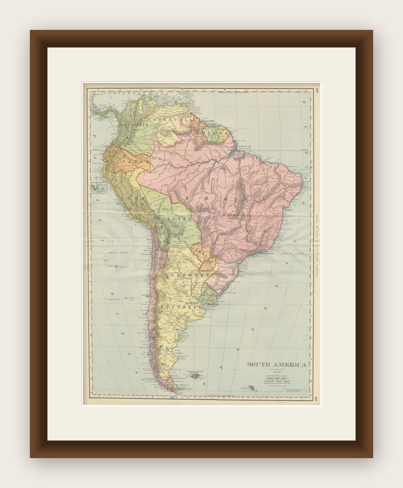
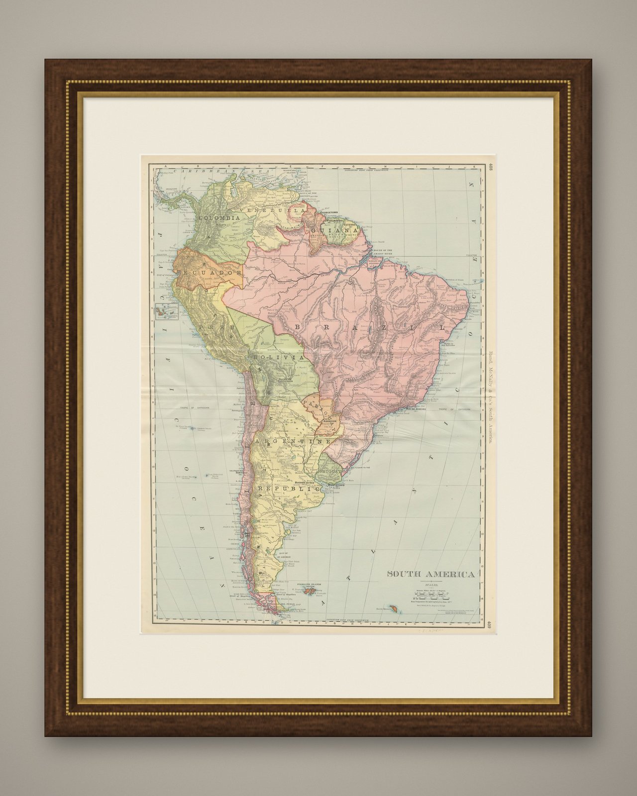
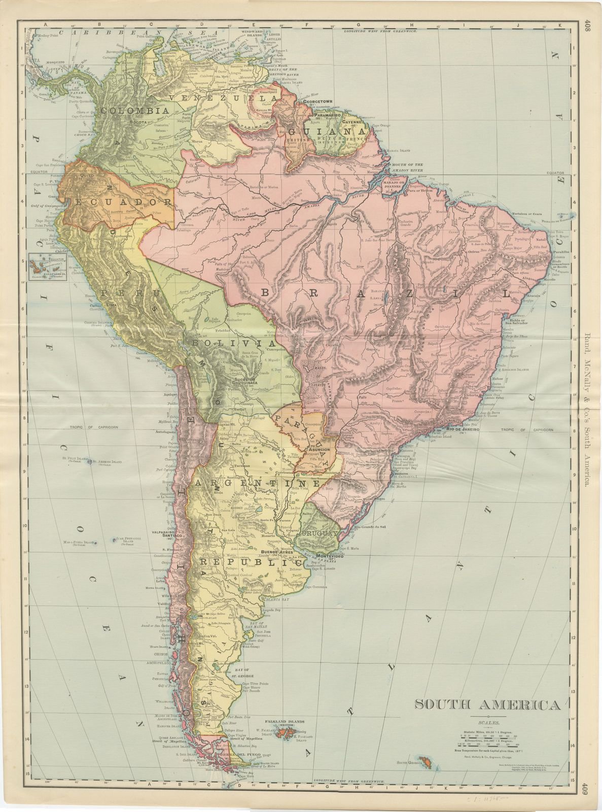
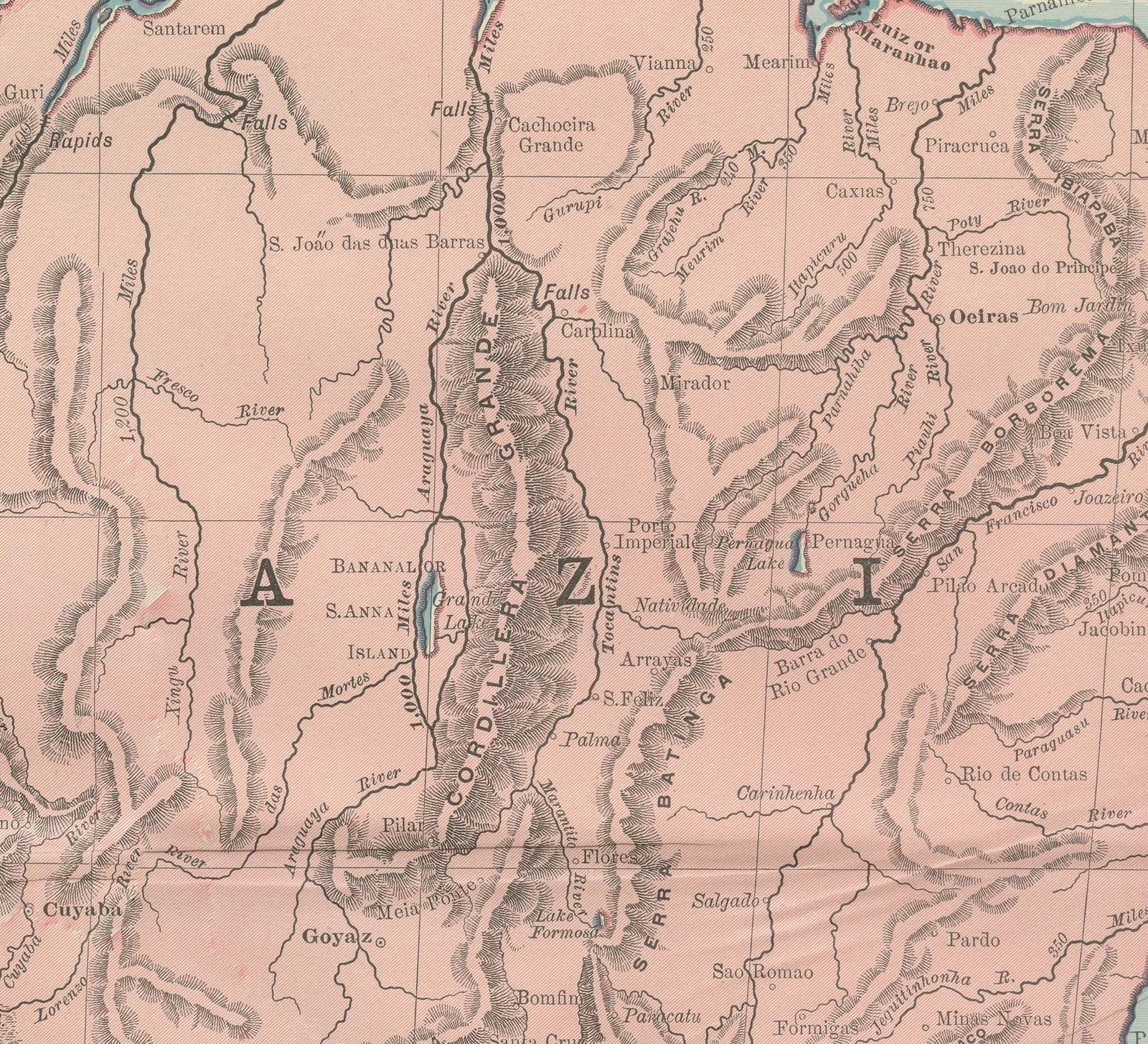
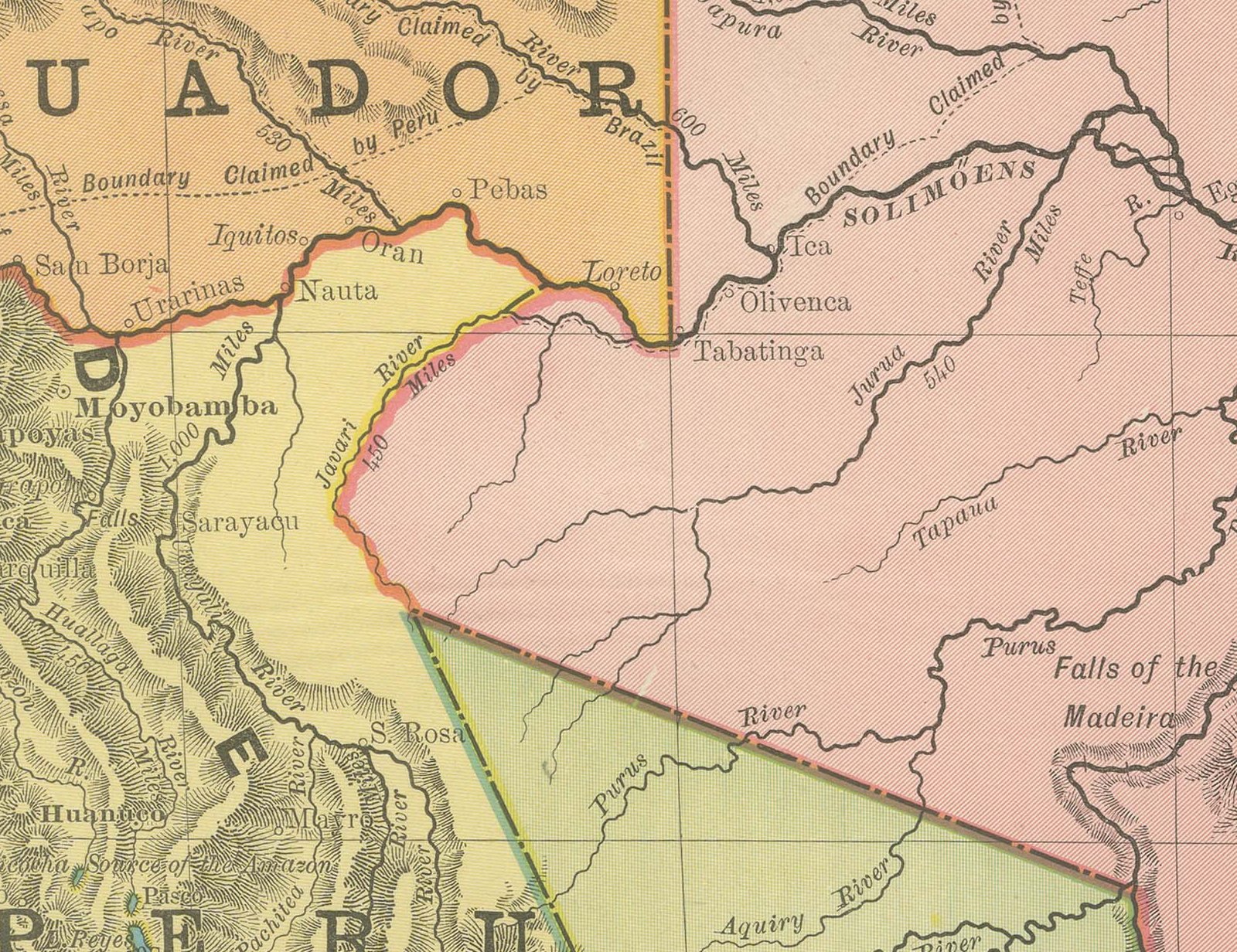
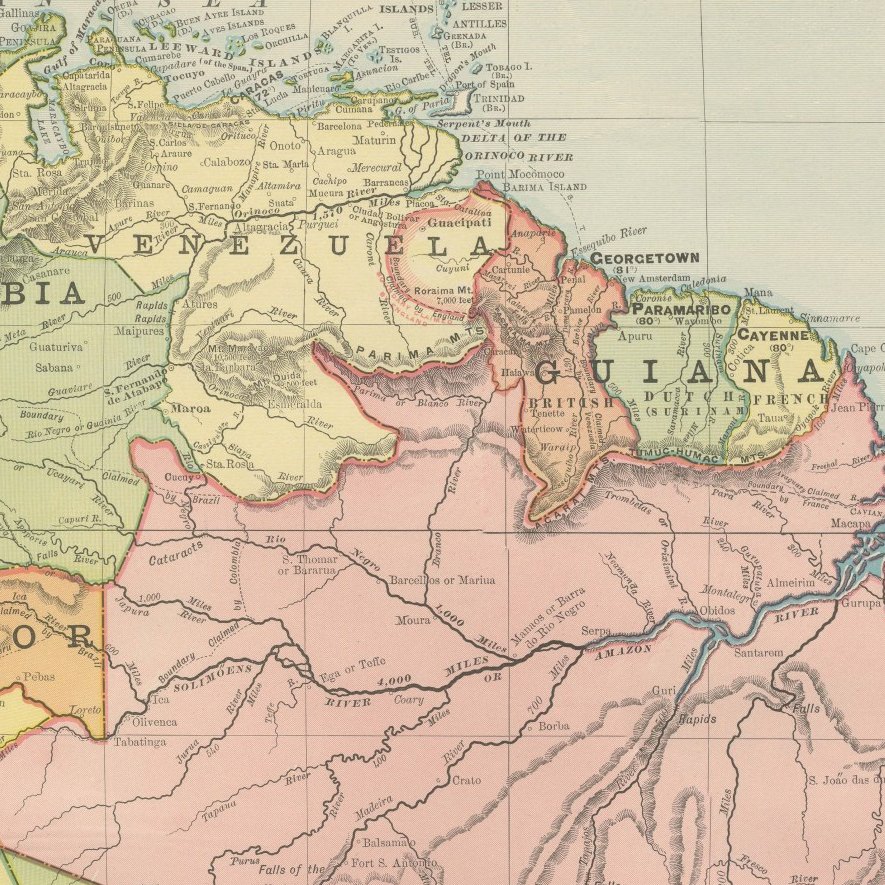
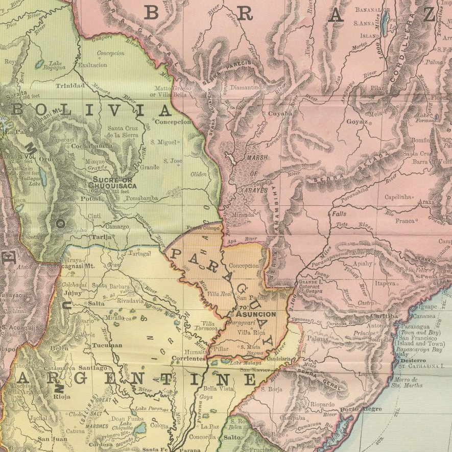
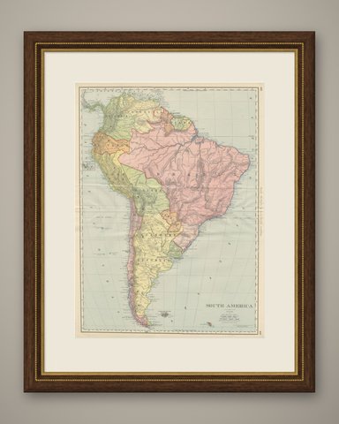
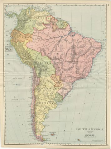
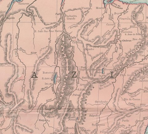
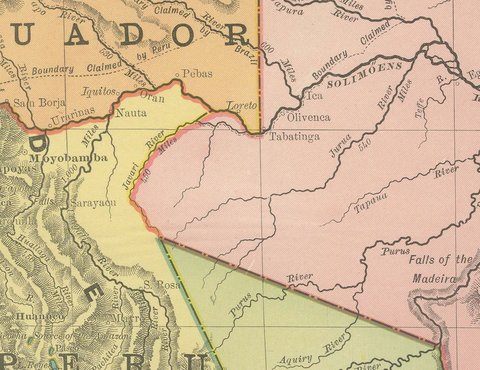
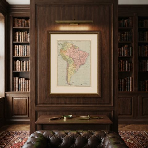
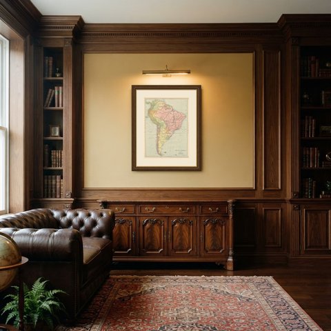
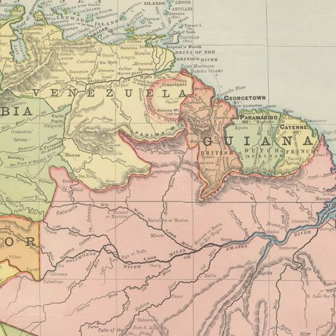
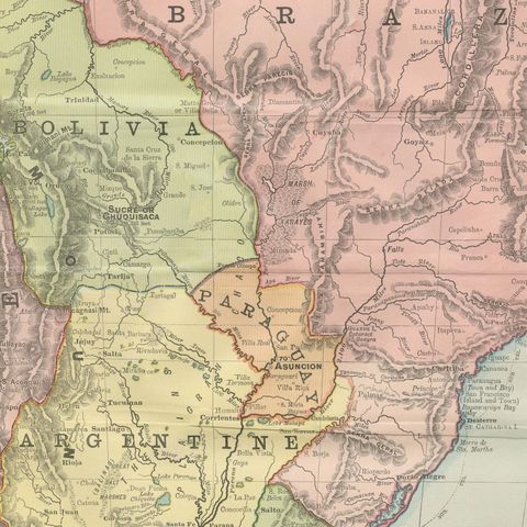
This antique map of South America, printed by Rand McNally in 1899 across pages 408 and 409 of its indexed atlas, runs the length of the continent from the Caribbean coast of Colombia and Venezuela to Tierra del Fuego and the Strait of Magellan, with the Falkland Islands set in a box at lower right. Each republic is washed in its own pastel color: Brazil in pink, the Argentine Republic in pale yellow, Peru in olive, Bolivia in green and Chile in a narrow pink strip down the Pacific coast, with Ecuador, Colombia, Venezuela, the three Guianas (British, Dutch and French, each tinted separately), Paraguay and Uruguay all distinguished along the northern and eastern coasts.

The Amazon and its principal tributaries, the Rio Negro, Madeira, Tapajos and Xingu, are traced across Brazil in fine line work, and the Andean cordillera down the western edge is rendered in continuous hachured relief from Colombia to Cape Horn. A small inset at left maps the Galapagos Islands to the same conventions as the mainland. Rio de Janeiro, Buenos Ayres, Montevideo and the other principal capitals are marked along the coast, with interior towns and rail lines comparatively sparse, a fair reflection of how little of the interior had been surveyed by 1899 outside the coastal republics.

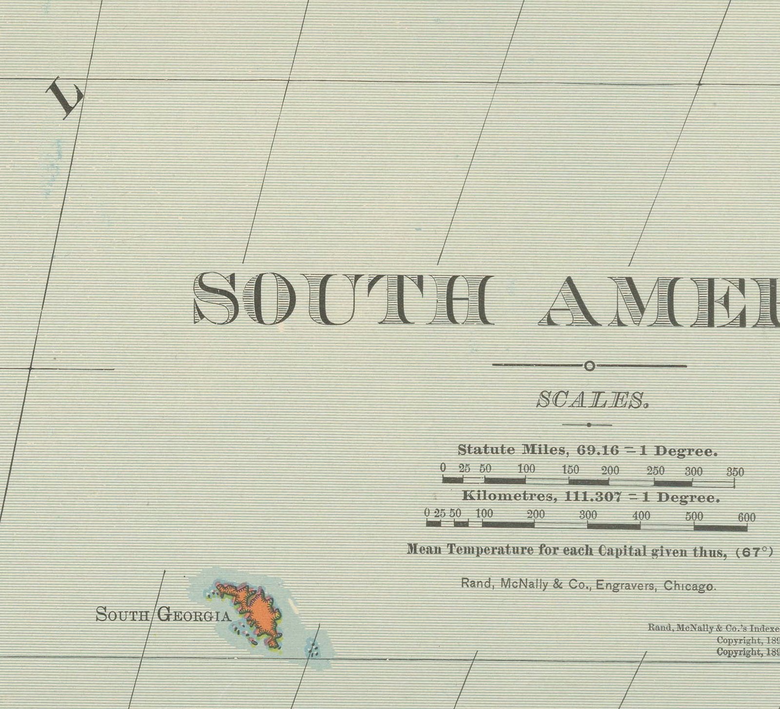
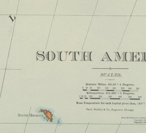
Scale is given as 69.16 statute miles to a degree, with a kilometer scale, and a small table records mean temperatures for each capital, a feature the firm included on several of its continental plates in this edition.

Rand McNally grew from a Chicago printing business started in the 1850s by William Rand and joined by Andrew McNally, and by the 1890s it was one of the leading map publishers in the United States. This antique map of South America is an original 1899 color lithograph, with the outline printed in black and the original colors printed over it, issued folded through the center and suitable for framing. The color is printed rather than applied by hand.

The sheet is in good condition for its age, with light age toning, deeper toward the edges, a faint pencil note in the lower margin, light creasing near the original central fold as issued. Please review the images for further condition details.

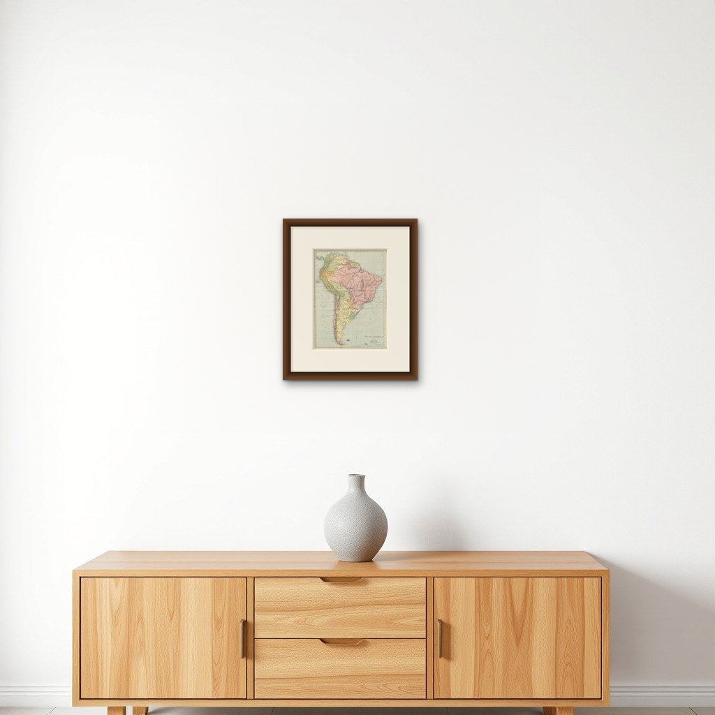
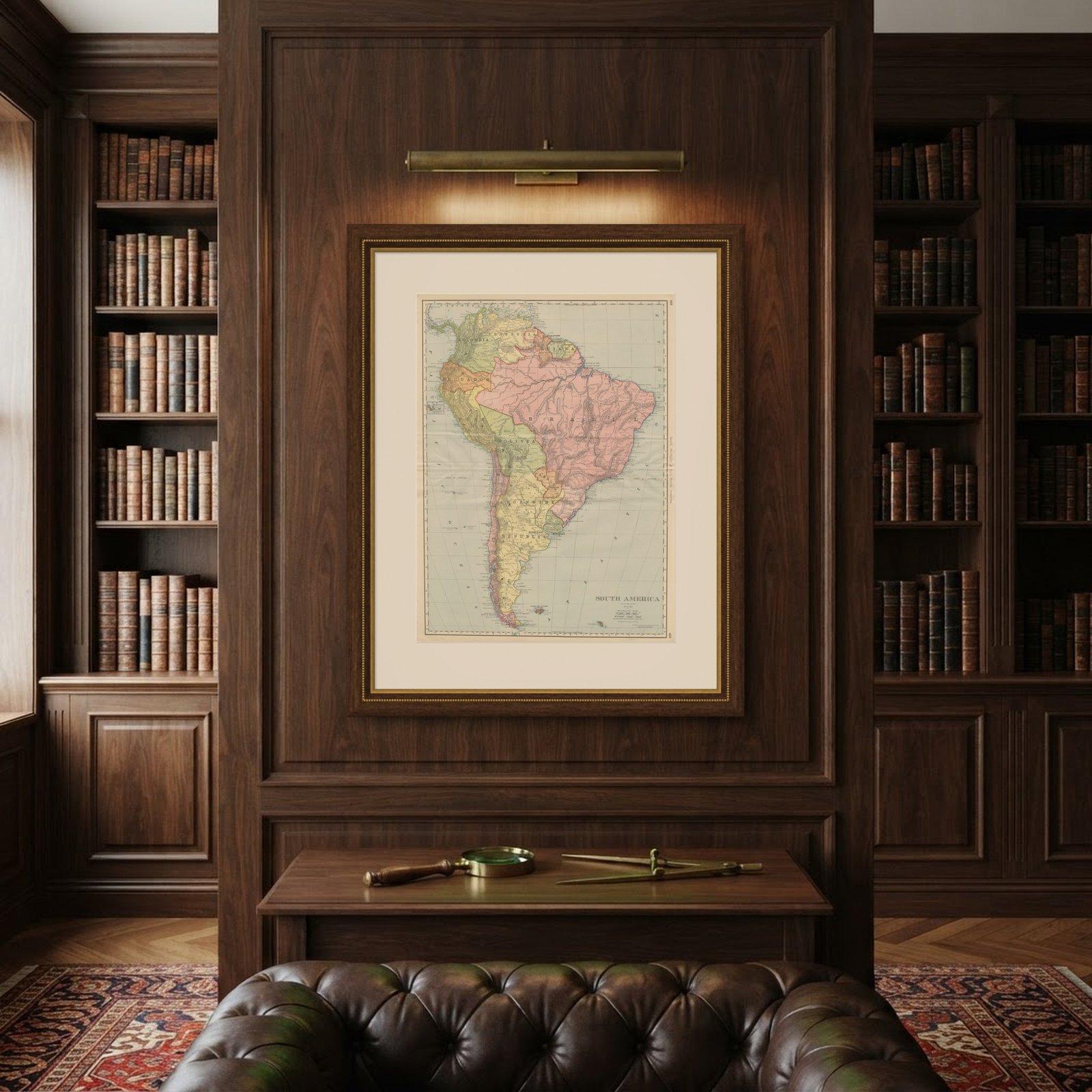
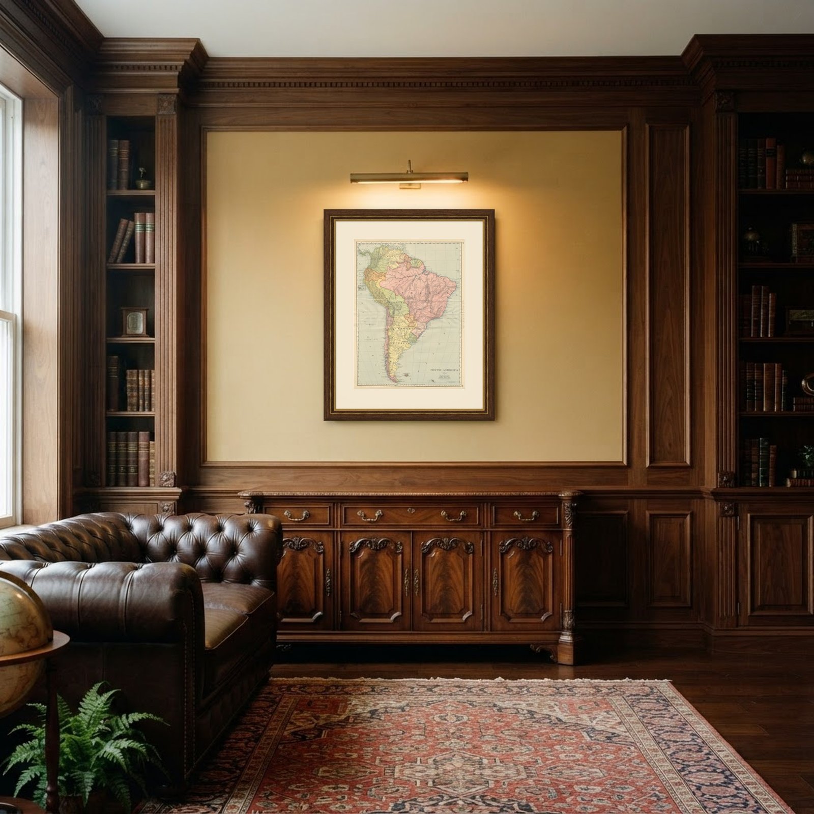
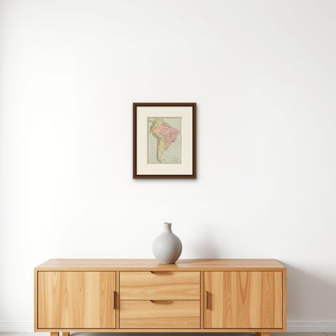
This is an original antique map, not a modern reproduction. This item is sold unframed.

★

You might also like


Antique Map of the West Coast of South America with Costume Figures, circa 1860
circa 1860
$610
Antique Map of the Brazilian Coast with Rio de Janeiro Province, circa 1860
circa 1860
$325
Antique Map of South America with the Falklands and South Georgia, 1858
1858
$270
Antique Map of Central America, with Proposed Nicaragua Canal, 1899
1899 · Rand McNally
$385
Antique Hand-Colored Map of Chili by Willem Blaeu, 1658
1658 · Blaeu
$1,435
Map of South America 1792 by Elwe – Hand-Colored Antique Dutch Engraving
1792 · Guillaume Delisle
$1,905
Antique Map of South America ‘North’ by A.K. Johnston, 1865
1865 · W. & A. K. Johnston
$310
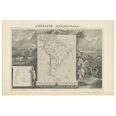
Antique Map of South America by V. Levasseur, 1854
1854
$335

Ask about this print

We reply by email, usually within one working day.

Your favorites

Saved in this browser. Email the list to yourself to keep it on any device.

We use your email to send this list and, only if you tick the box and confirm, for occasional new arrivals. Every email has an unsubscribe link. Bartele Gallery, the Netherlands.

Your bag

Total

Each piece is bought on its own; shipping is added at checkout.