circa 1860 · Maps
Antique Map of the Brazilian Coast with Rio de Janeiro Province, circa 1860
$325
€290 · dollar price at today's exchange rate
Buy now Ask a question
Shipping to the United States: $51 standard, $73 express, insured and tracked.
- Date
- circa 1860
- Maker
- Bahia map drawn by J. Bartholomew Jr., engraved by J. Bartholomew; Rio de Janeiro map drawn by G. H. Swanston after H. Mahlmann
- Kind
- Maps
- Technique
- Engraving
- Color
- Hand colored
- Size
- 48.5 × 32 cm (19.1 × 12.6 in)
- Condition
- Fair. Light uneven toning, browner toward the edges. Handling soiling along the right and top edges. Scattered light foxing in the margin. Complete sheet, all four corners present. Several larger brown marks.
- Period
- Westward Expansion & Civil War
- Reference
- BG-14396-17
What the condition grades mean
- Excellent
- Bright and clean, with no faults worth mentioning.
- Very good
- Only light signs of age, such as faint toning.
- Good
- Normal signs of age for a sheet of this period: toning, some foxing, small marks or neat old repairs.
- Fair
- Clear faults such as staining, tears or repairs, priced to match.
Every fault we see is written in the condition note, and the whole sheet is shown uncropped in the photos.
Guaranteed original. This is an original of the period stated, not a later reproduction or print-on-demand copy. If it is ever shown to be otherwise, we refund you in full.
Shipping to the United States. Sent from our gallery in Langweer, the Netherlands, flat between boards or rolled in a tube, and fully insured.
Delivery and import charges.
About this piece
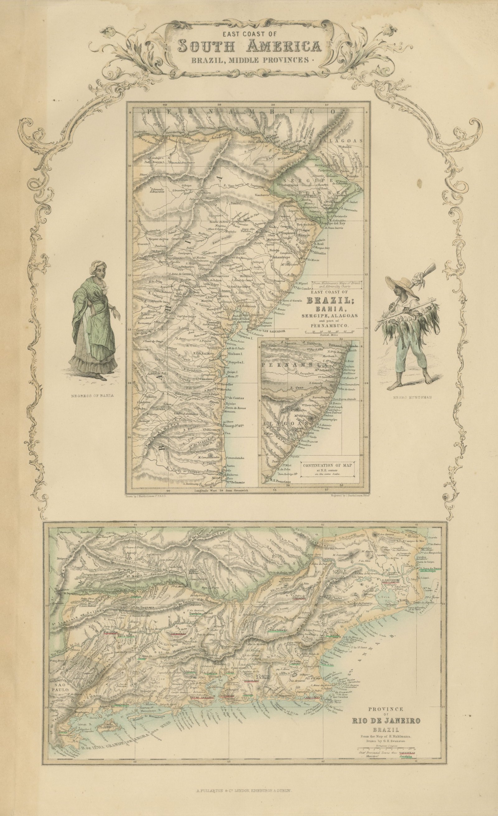
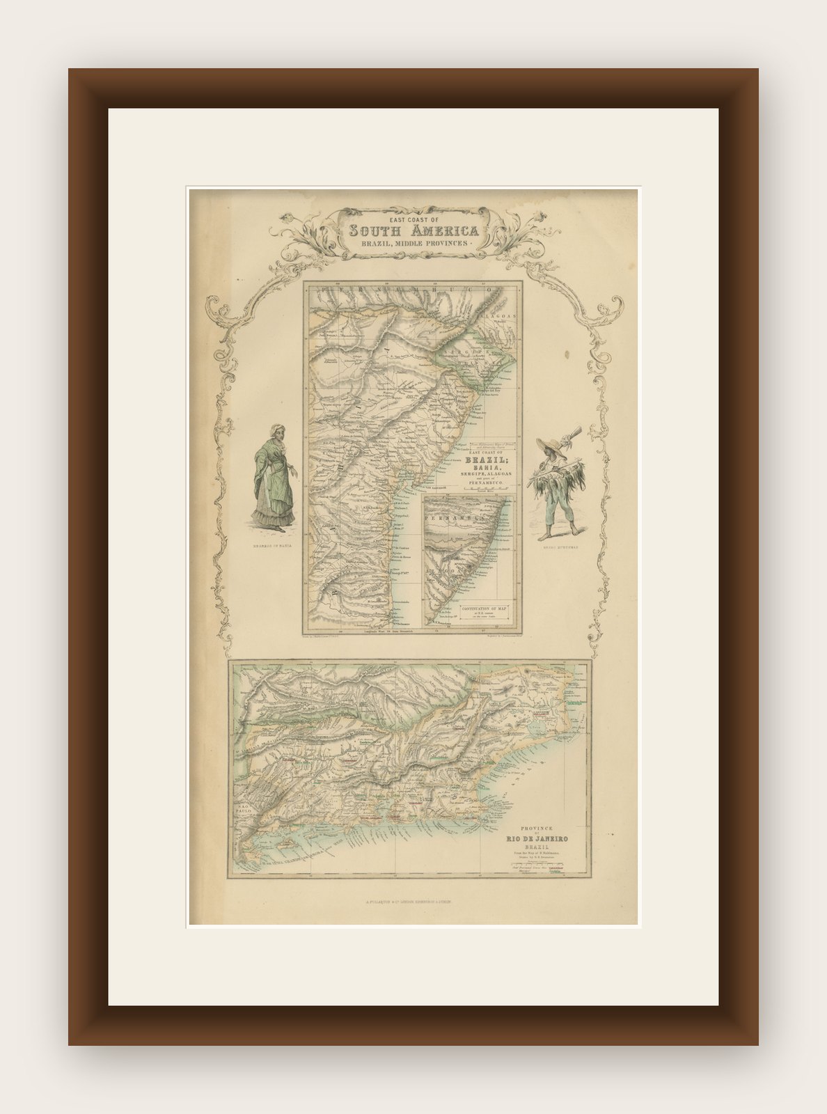
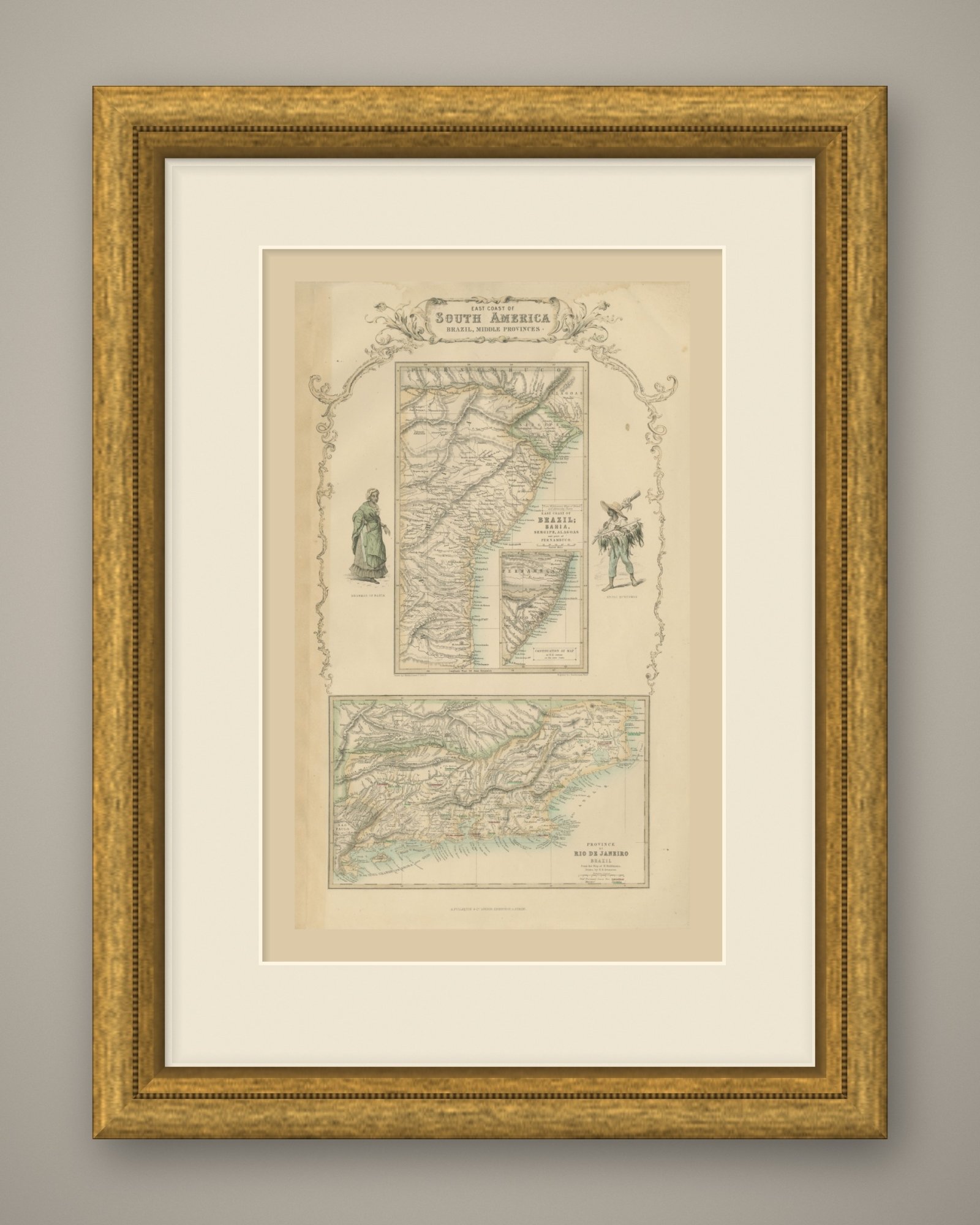
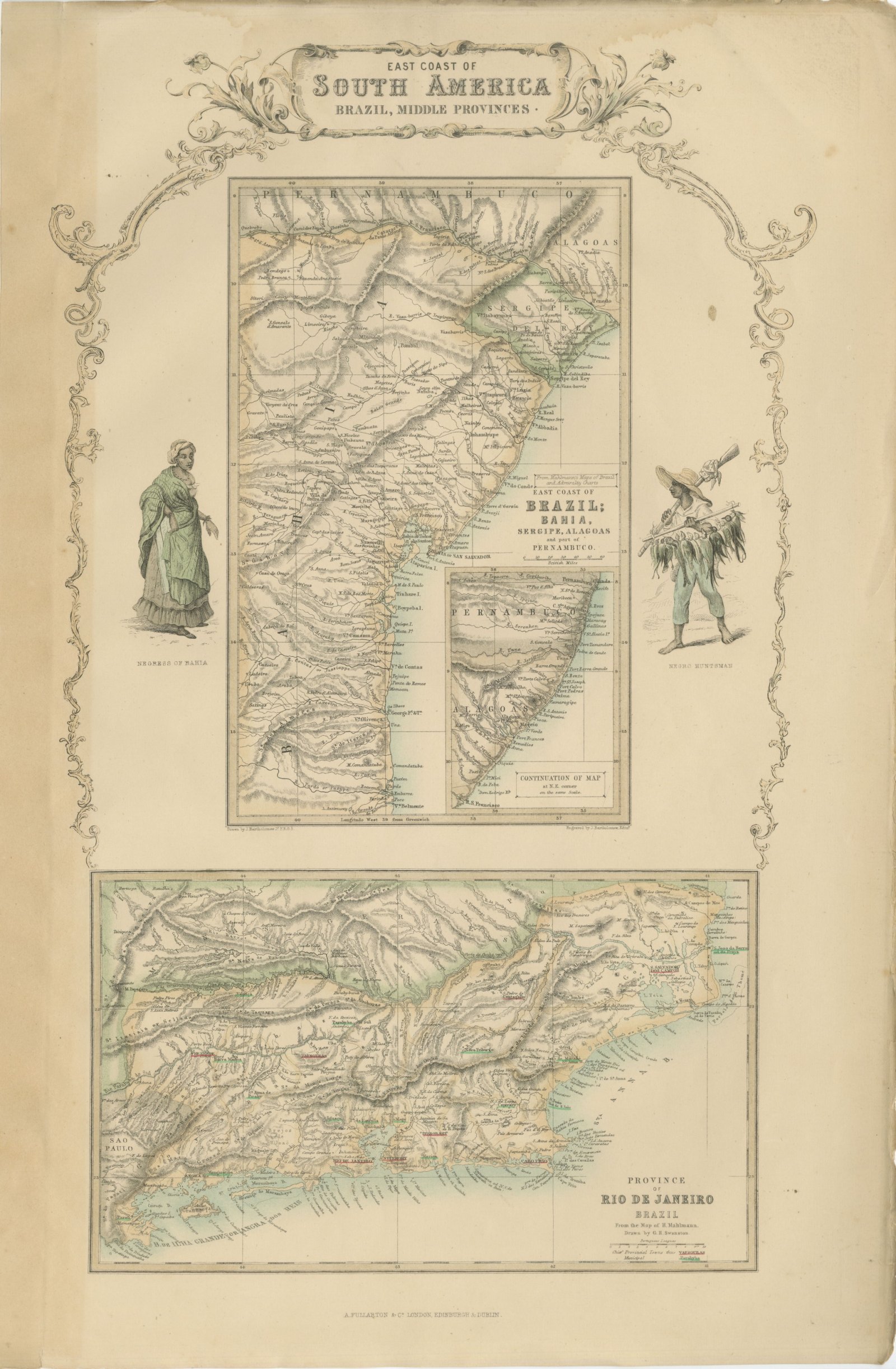
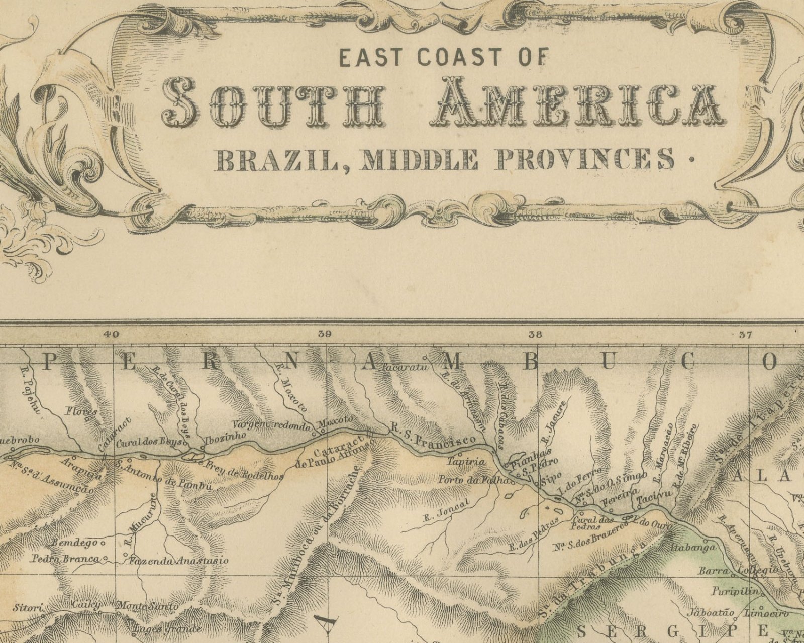
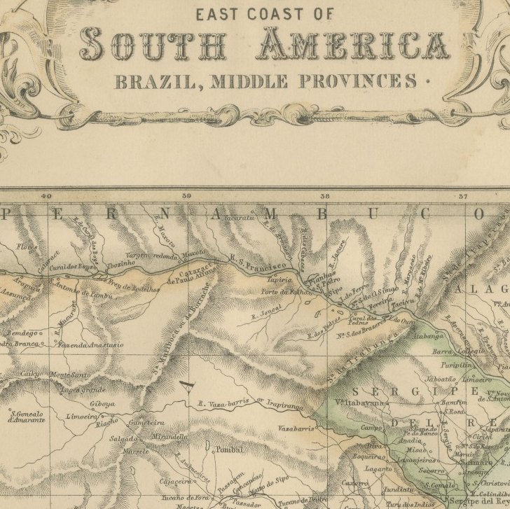
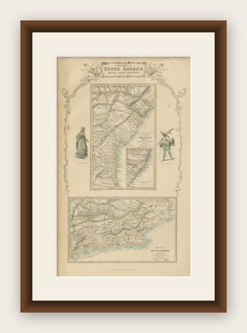
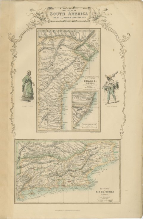
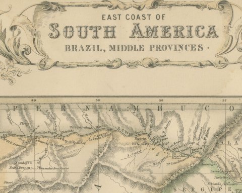
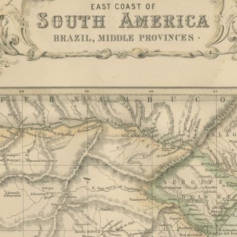
This is an original antique engraved map, colored by hand, from Fullarton's Companion Atlas to the Gazetteer of the World. It is an upright sheet with no center fold. A scrollwork header reads "EAST COAST OF SOUTH AMERICA BRAZIL, MIDDLE PROVINCES."
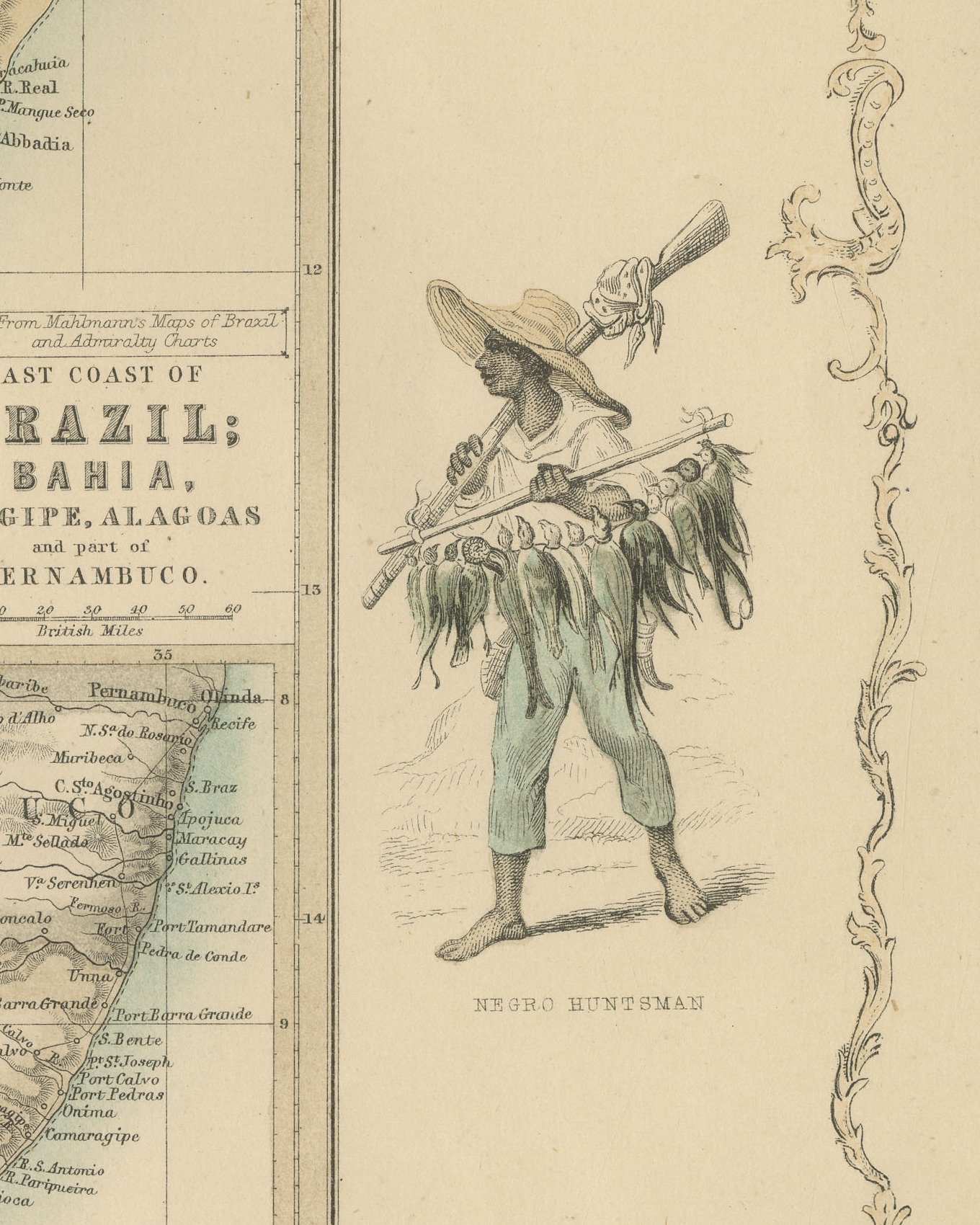
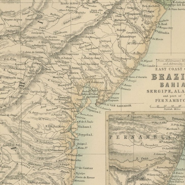
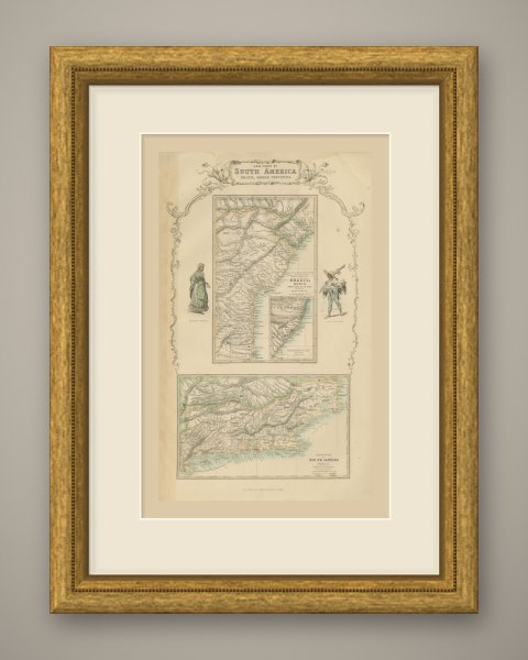
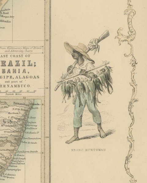
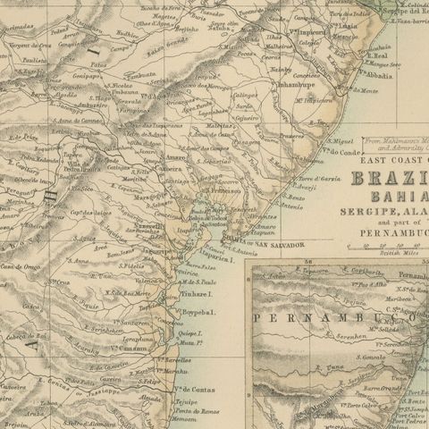
The upper map is titled "From Mahlmann's Maps of Brazil and Admiralty Charts EAST COAST OF BRAZIL; BAHIA, SERGIPE, ALAGOAS and part of PERNAMBUCO.". It covers the coast from Belmonte north to the mouth of the Sao Francisco and inland into Pernambuco, with "BAHIA or SAN SALVADOR" on its bay. An inset at its lower right, titled "CONTINUATION OF MAP at N.E. corner on the same Scale.", carries the coast on through Alagoas and Pernambuco to Recife and Olinda. The lower map is titled "PROVINCE OF RIO DE JANEIRO BRAZIL", with a scale of "Portuguese Leagues" and a key reading "Chief Provincial Towns thus" and "Municipal", the towns underlined in red and green. It shows Rio de Janeiro on its bay and runs from Campos and Cape Sao Tome in the east to the border of Sao Paulo in the west. Two hand colored figures flank the upper map: a woman of Bahia on the left and a hunter carrying a string of birds on the right, each with an engraved caption beneath.
Below the lower left corner of the upper map is the line "Drawn by J. Bartholomew Jr. F.R.G.S." and below its lower right corner "Engraved by J. Bartholomew, Edinr." The Rio de Janeiro title continues "From the Map of H. Mahlmann. Drawn by G.H. Swanston."; no engraver's line stands below it. The imprint below the center reads "A. FULLARTON & Co. LONDON, EDINBURGH & DUBLIN."
The Companion Atlas to the Gazetteer of the World was published by A. Fullarton and Co. of London, Edinburgh and Dublin and issued to subscribers in parts. The original printed wrapper of Part 7 survives with these maps; it bills forty-three maps, names G. H. Swanston as engraver, and is marked "Colored Copy". Rio de Janeiro, shown on the lower map, was then the capital of the Empire of Brazil.
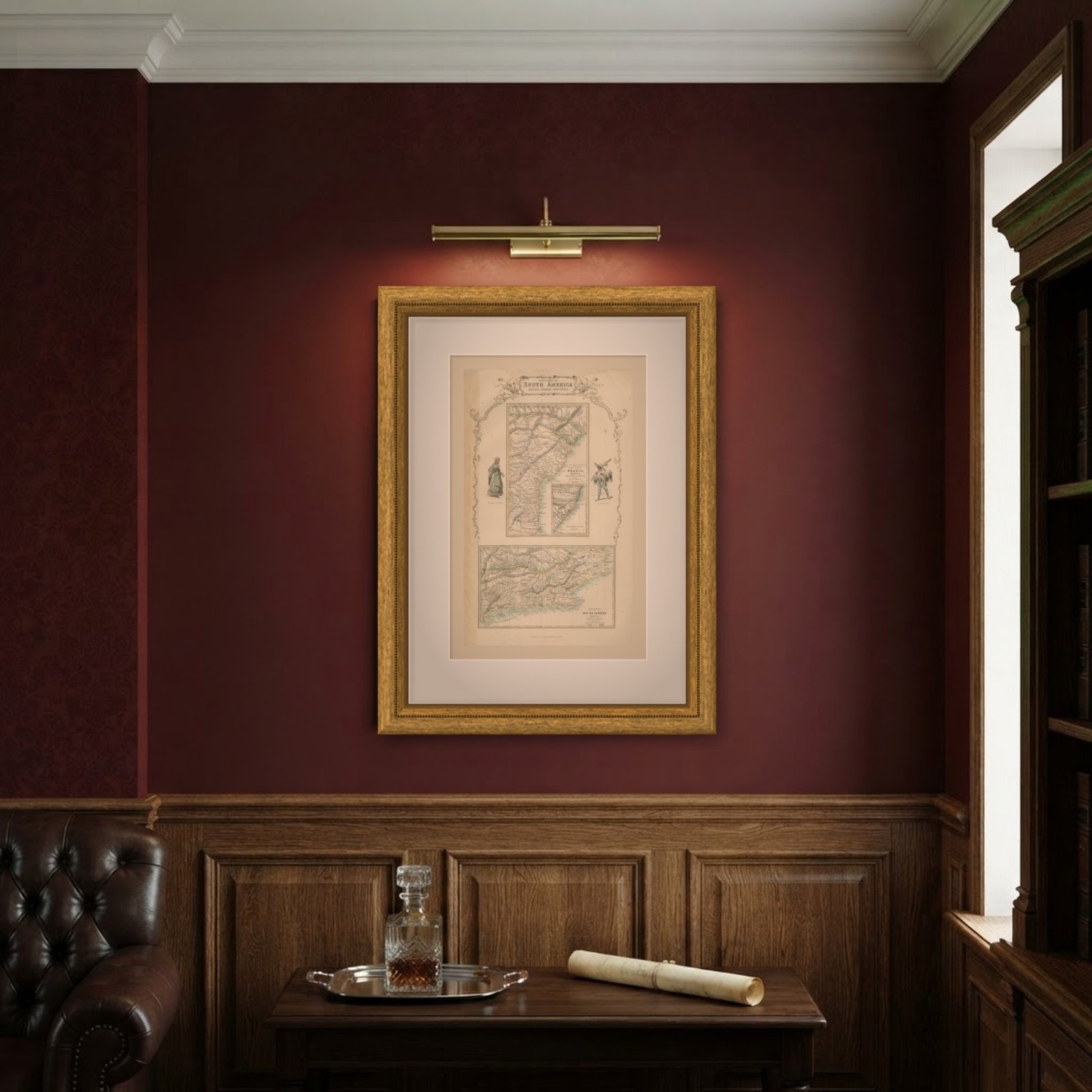
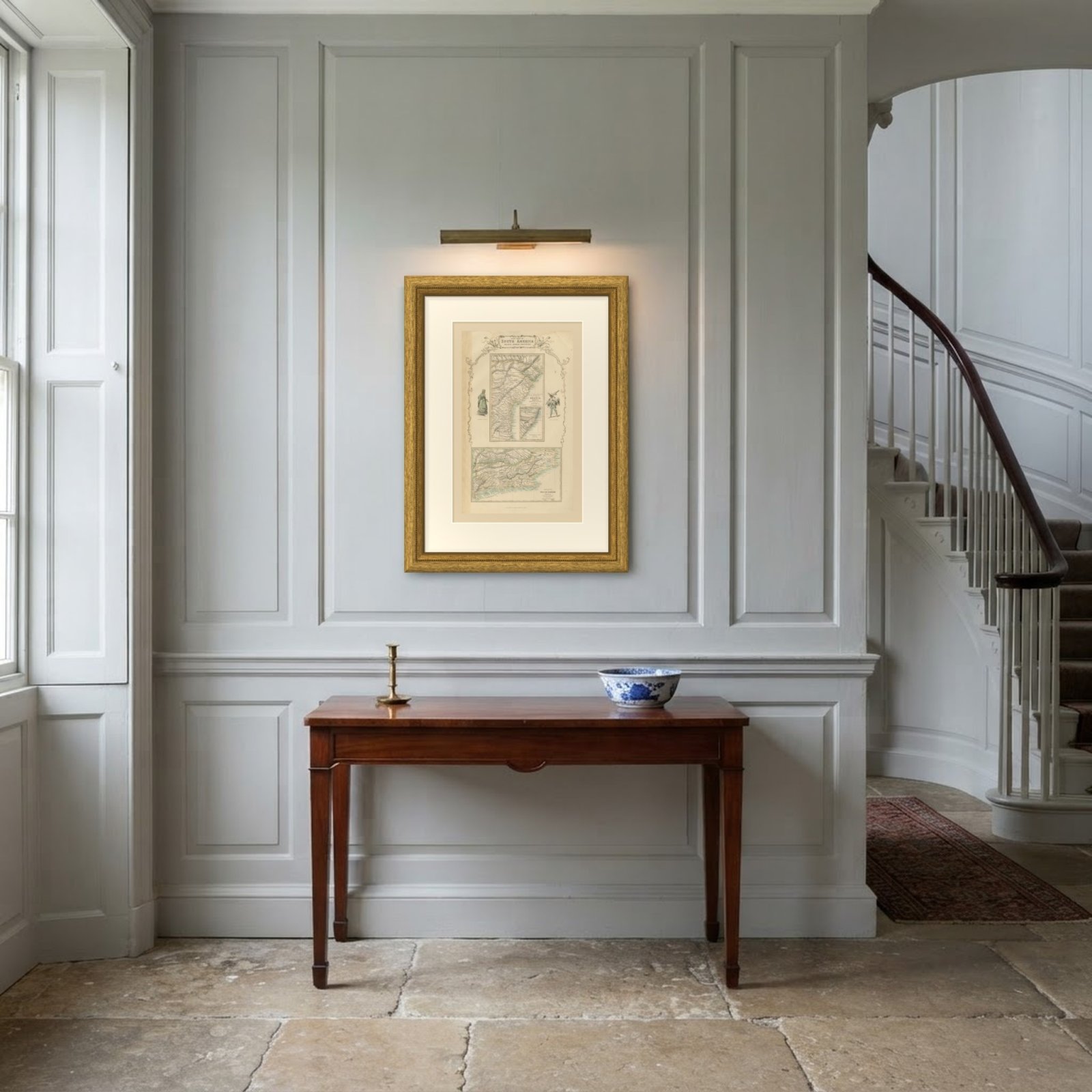
This is an original antique map, not a modern reproduction. This item is sold unframed.