



A Bartele Gallery CollectionLangweer · Jakarta

American Maps & Prints
Original antique maps, charts & prints of the Americas ★ Originals only


Home › The United States › Illinois
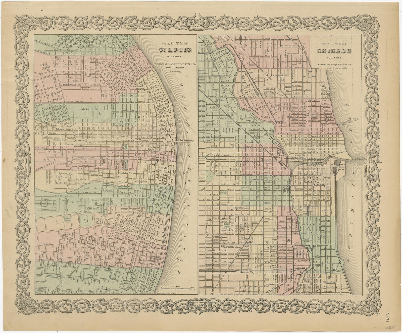
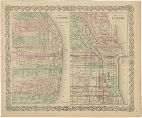
Antique Map of St. Louis and Chicago
1855 · Maps

Antique Map of St. Louis and Chicago

$170
€150 · dollar price at today's exchange rate

Buy now Ask a question

Shipping to the United States: $51 standard, $73 express, insured and tracked.

Date
1855
Maker
J. H. Colton
Kind
Maps
Size
36 × 43.7 cm (14.2 × 17.2 in)
Condition
Fair. Repaired. Wear consistent with age and use. Age-related toning. Minor wear. Repaired tear in left margin (top), also affecting image. English text on verso. Please study image carefully.
Places
Illinois, Missouri
Reference
BG-13191-2
What the condition grades mean
Excellent
Bright and clean, with no faults worth mentioning.
Very good
Only light signs of age, such as faint toning.
Good
Normal signs of age for a sheet of this period: toning, some foxing, small marks or neat old repairs.
Fair
Clear faults such as staining, tears or repairs, priced to match.

Every fault we see is written in the condition note, and the whole sheet is shown uncropped in the photos.

Guaranteed original. This is an original of the period stated, not a later reproduction or print-on-demand copy. If it is ever shown to be otherwise, we refund you in full.
Shipping to the United States. Sent from our gallery in Langweer, the Netherlands, flat between boards or rolled in a tube, and fully insured. Delivery and import charges.

About this piece

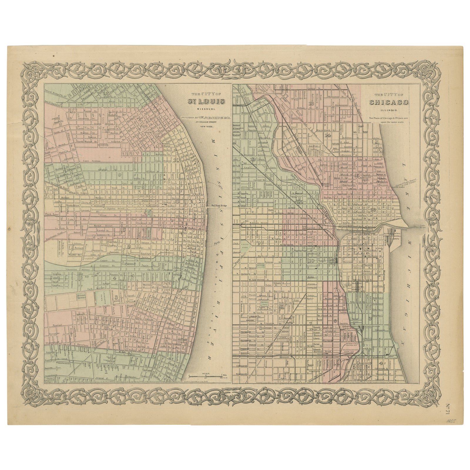
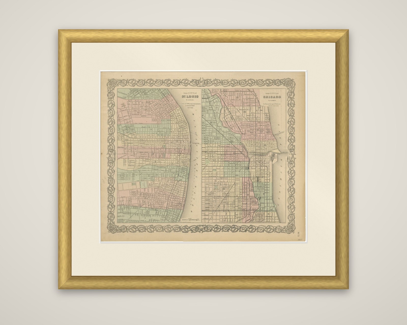
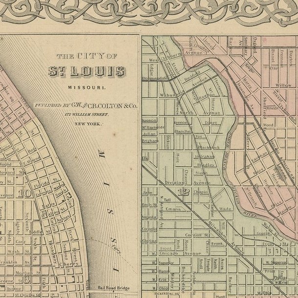
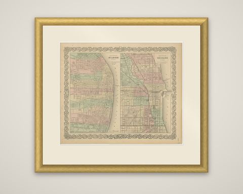
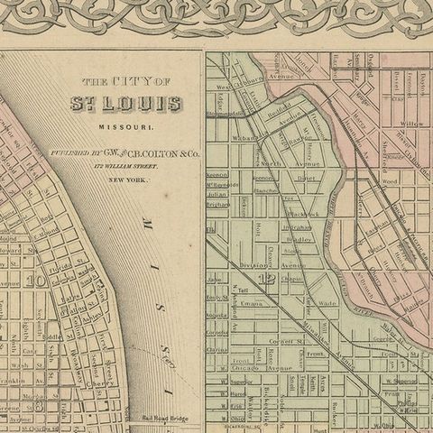
Two American cities on a single sheet, an original antique lithograph titled "The City of St. Louis, Missouri" and "The City of Chicago, Illinois", from Colton's General Atlas of the World, published in 1855. The two plans are hand colored and set within the foliate border typical of the Colton atlases.

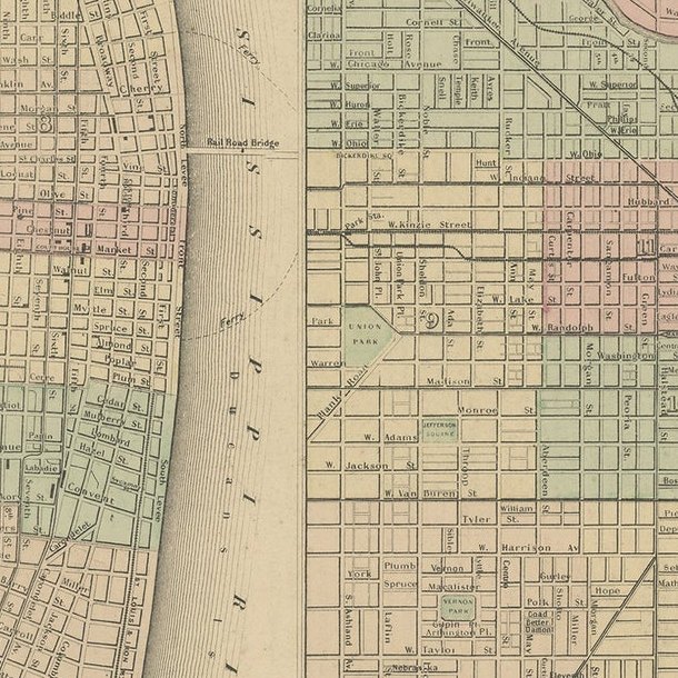
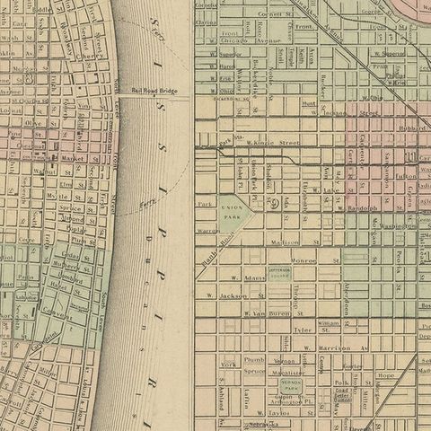
At the left, St. Louis lies along the western bank of the Mississippi River, with its grid of streets running back from the waterfront and the wards tinted in pink, green and buff. At the right, Chicago is laid out on the shore of Lake Michigan, with the Chicago River dividing the city and the railroads converging from the west and south. Street names, parks and public buildings are lettered on both plans, and a bridge appears across the river at Chicago. Each plan has its own title block, and the ward divisions are picked out in color.

The pairing shows the two Midwestern cities in the mid-1850s, when both were growing rapidly as river and rail centers. Colton, a New York firm, was a leading American publisher of maps and atlases, and its sheets were often hand colored at the time of publication.

★

More of Illinois


Antique Map of the Coal Fields of the United States by Walker '1874'
1874
$760
Antique Albumen Print of The Palmer House, Chicago 'c.1890'
1890
$670
Detailed Antique Map of Illinois – Railroads, Cities & Counties, 1888
1888 · Rand McNally
$535
Antique Street Map of Chicago, with the Loop and Lakefront, Rand McNally, 1899
1899 · Rand McNally
$500
Antique Map of Illinois, The Prairie State, Rand McNally, 1899
1899 · Rand McNally
$440
Antique Map of the Central United States, Chicago to Denver, Rand McNally, 1899
1899 · Rand McNally
$440
Antique Map of Chicago Railway Terminals, The Windy City, Rand McNally, 1899
1899 · Rand McNally
$440
Johnson’s Illinois Map, USA c.1864 – Hand-Colored with Chicago Courthouse View
1864
$300

Ask about this print

We reply by email, usually within one working day.

Your favorites

Saved in this browser. Email the list to yourself to keep it on any device.

We use your email to send this list and, only if you tick the box and confirm, for occasional new arrivals. Every email has an unsubscribe link. Bartele Gallery, the Netherlands.

Your bag

Total

Each piece is bought on its own; shipping is added at checkout.