1898 · Maps
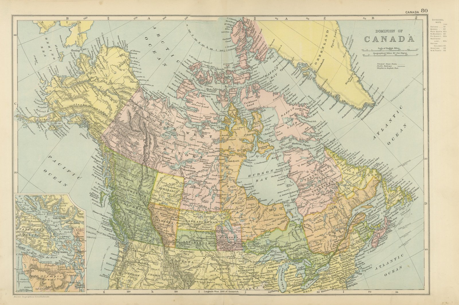
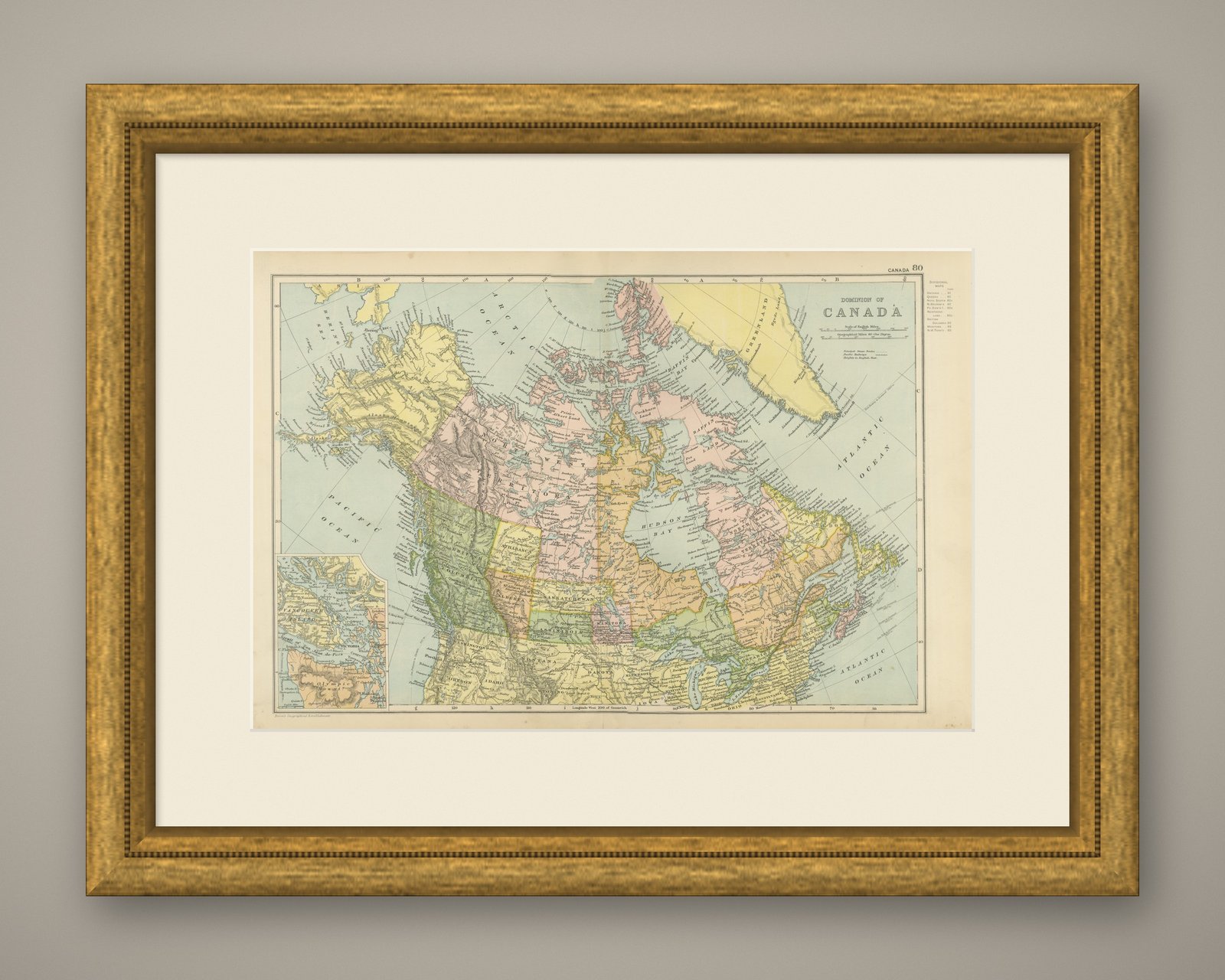
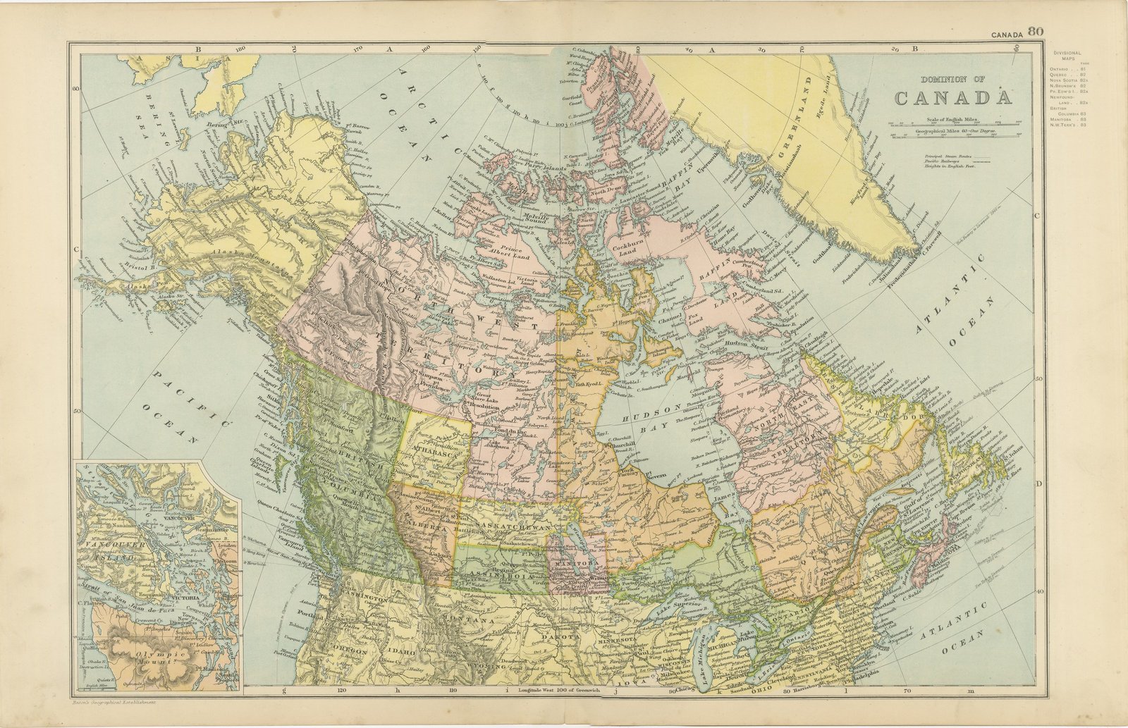
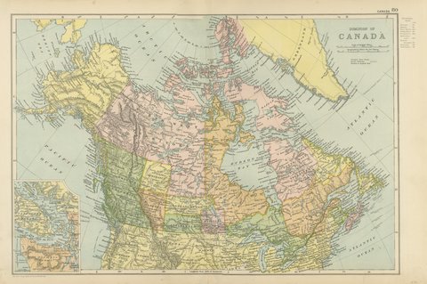
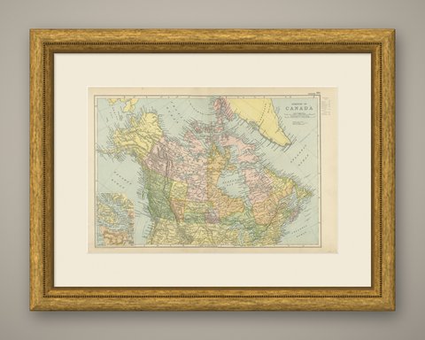
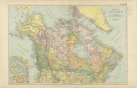
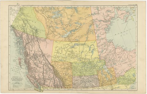
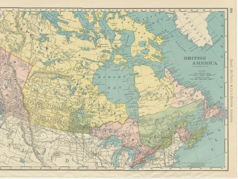
Antique Map of the Dominion of Canada, with Vancouver Island, 1898
$325
€295 · dollar price at today's exchange rate
Buy now Ask a question
Shipping to the United States: $50 standard, $72 express, insured and tracked.
- Date
- 1898
- Maker
- George Washington Bacon
- Kind
- Maps
- Technique
- Lithograph
- Color
- Printed color
- Size
- 34 × 54 cm (13.4 × 21.3 in)
- Condition
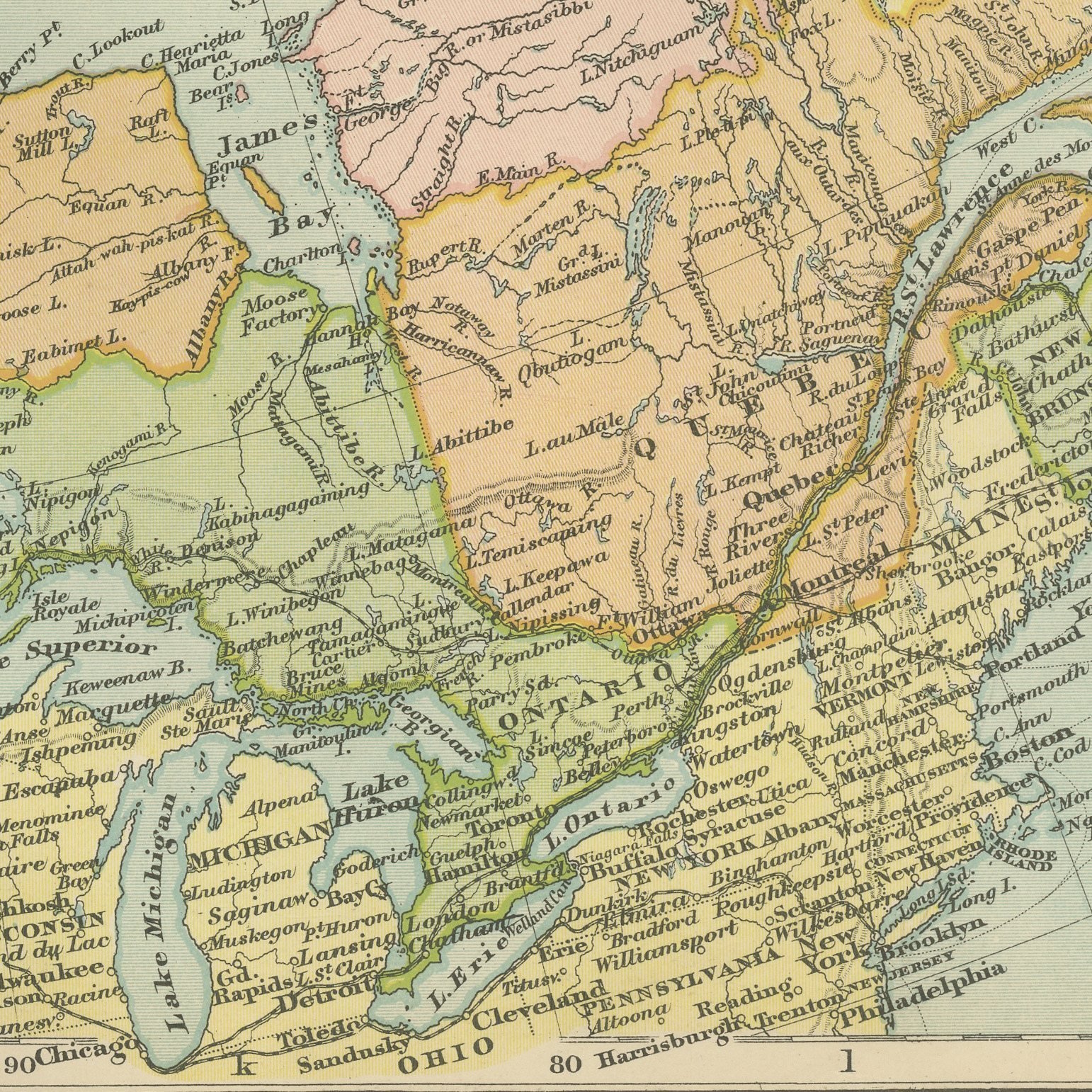
- Good. Light overall age toning, with the paper darker along the top and bottom edges and a few handling marks in the margins. The printed image itself is clean.
- Period
- The Gilded Age
- Places
- Canada
- Reference
- BG-06675-80
What the condition grades mean
- Excellent
- Bright and clean, with no faults worth mentioning.
- Very good
- Only light signs of age, such as faint toning.
- Good
- Normal signs of age for a sheet of this period: toning, some foxing, small marks or neat old repairs.
- Fair
- Clear faults such as staining, tears or repairs, priced to match.
Every fault we see is written in the condition note, and the whole sheet is shown uncropped in the photos.
Guaranteed original. This is an original of the period stated, not a later reproduction or print-on-demand copy. If it is ever shown to be otherwise, we refund you in full.
Shipping to the United States. Sent from our gallery in Langweer, the Netherlands, flat between boards or rolled in a tube, and fully insured.
Delivery and import charges.
About this piece
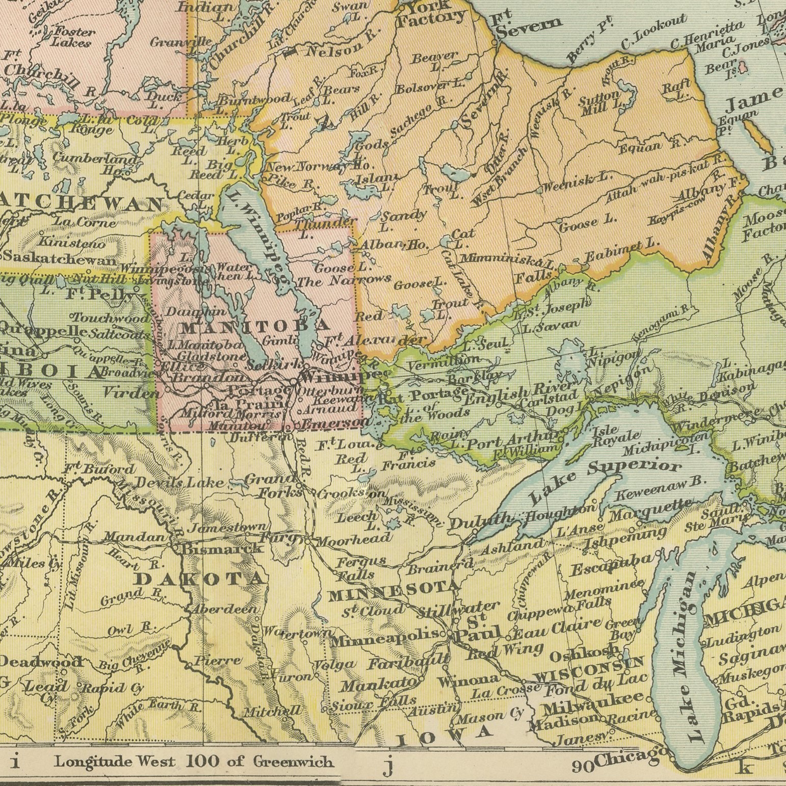
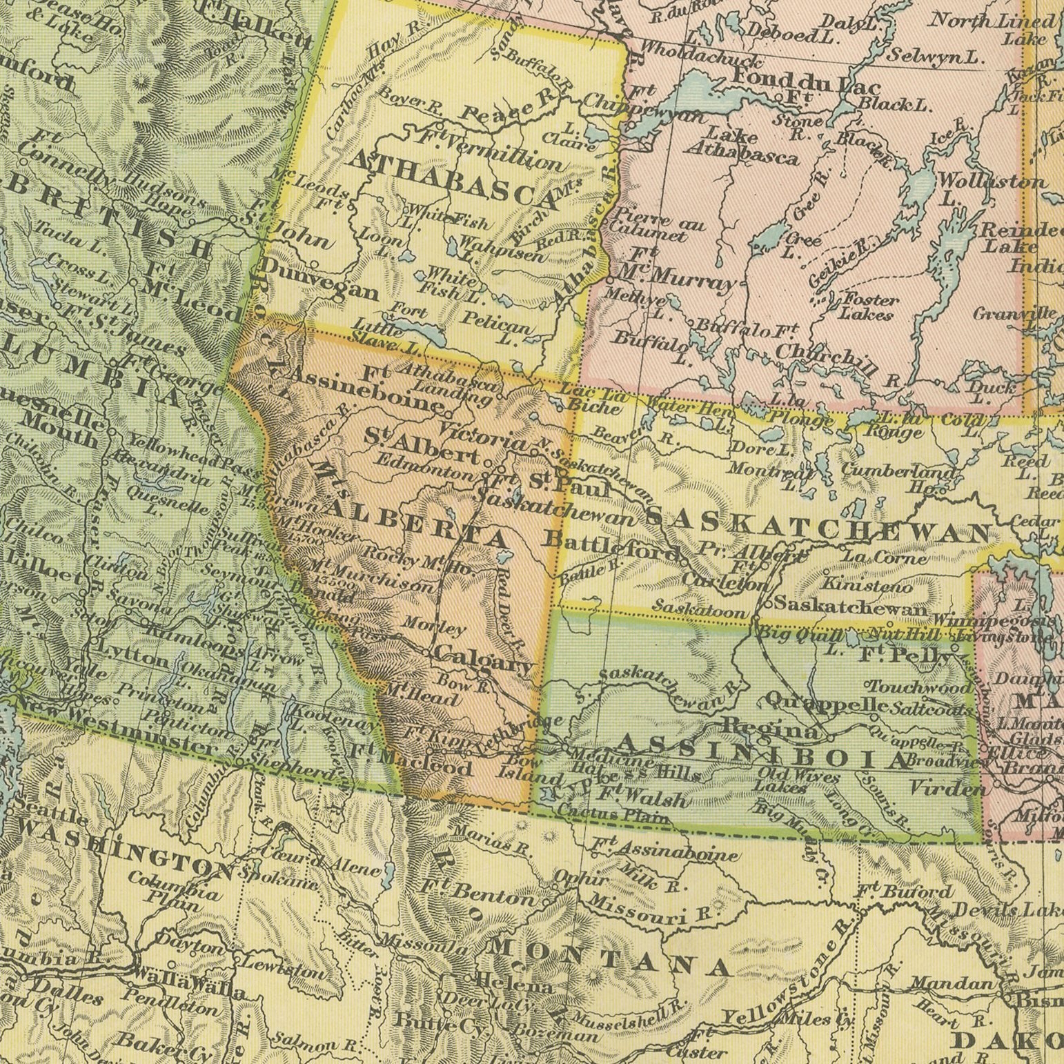
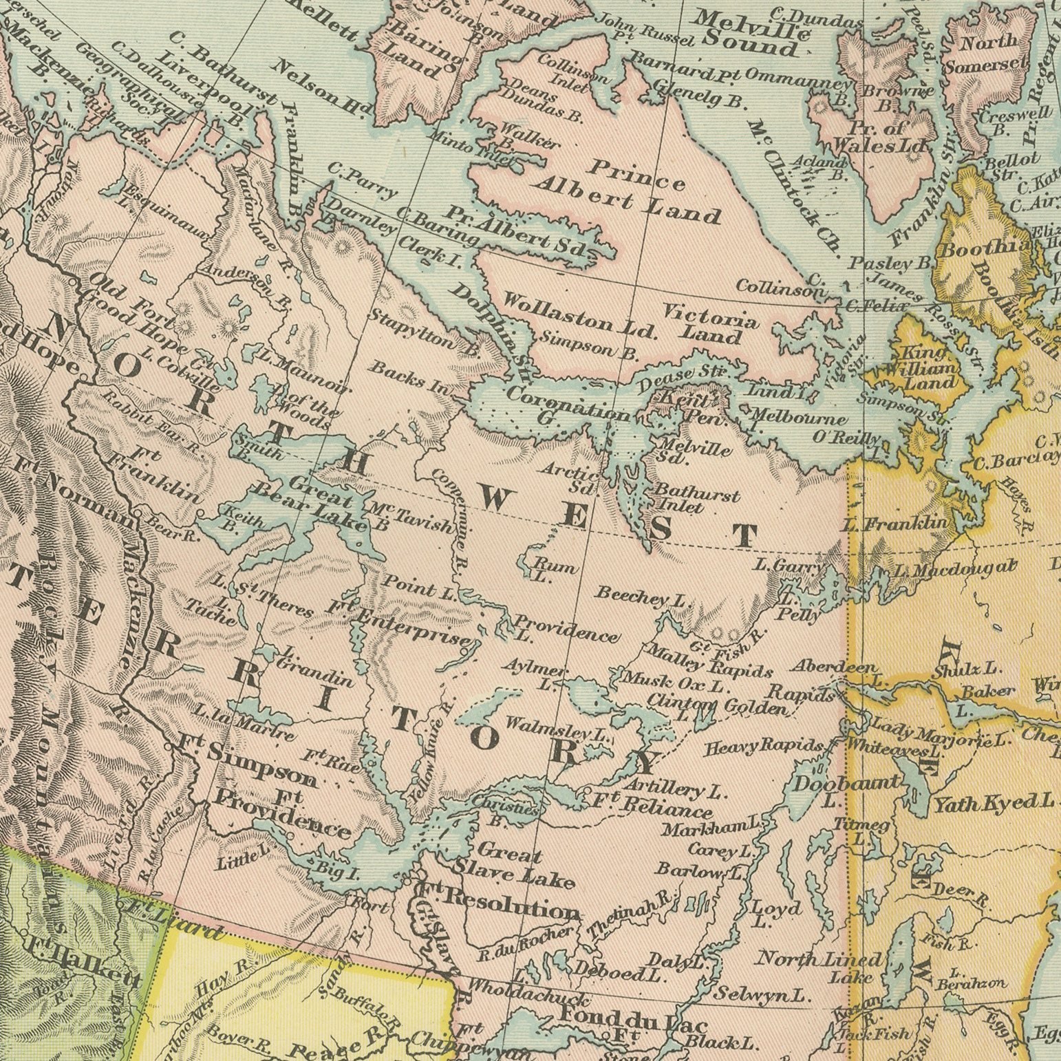
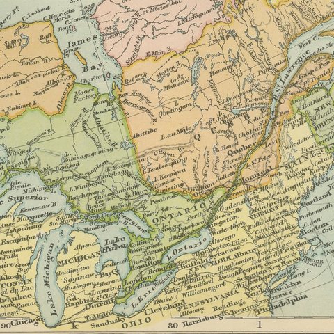
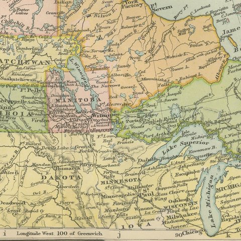
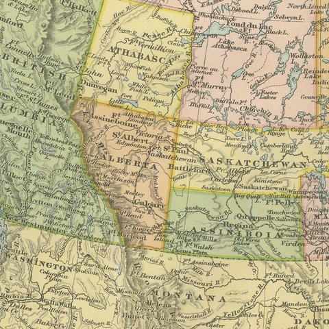
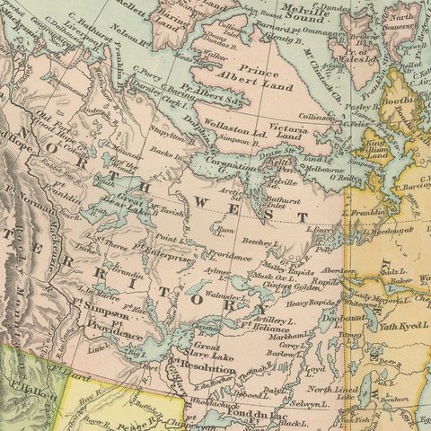
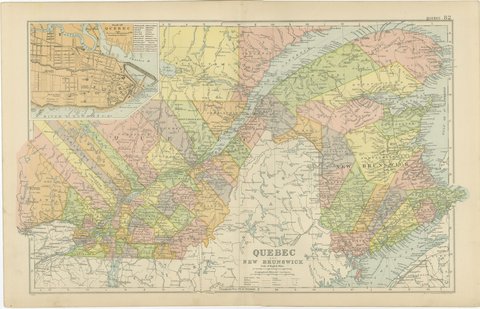
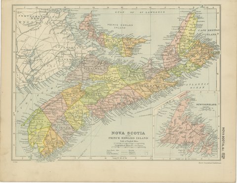
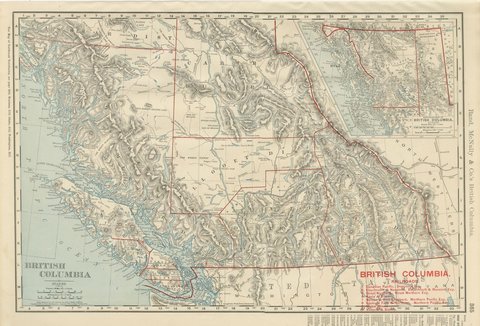
An original antique map of the Dominion of Canada, color printed in 1898 for Bacon's Commercial and Library Atlas of the World. The double page covers the whole country from the Atlantic to the Pacific and north to the Arctic islands, with Ontario, Quebec, the Maritime provinces, Manitoba, the North West Territories, Keewatin and British Columbia separately colored, the Canadian Pacific Railway drawn across the continent, and an inset map of Vancouver Island with the Strait of Juan de Fuca.
The plate belongs to the 1898 edition of Bacon's Commercial and Library Atlas of the World with Index-Gazetteer, edited by G. W. Bacon of 127 Strand, London. Printed and colored at Bacon's Geographical Establishment, the atlas set out one hundred double page maps and one hundred inset maps, and its purpose was practical: it recorded the political world as the Victorians left it, a year after the Diamond Jubilee and a year before the South African War.
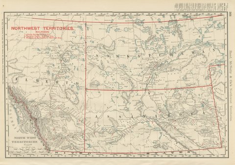
Canada in 1898 was a country of seven provinces, not ten: Alberta and Saskatchewan were still districts of the North West Territories, Newfoundland was a separate colony, and the Yukon had been made a territory that very year because of the Klondike. The map records all of it. The transcontinental railway is drawn as the thin thread that held the Dominion together.
Light overall age toning, with the paper darker along the top and bottom edges and a few handling marks in the margins. The printed image itself is clean.
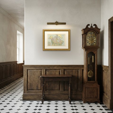
Framed simply, a sheet of this size holds a wall on its own, and the clear color printing reads well across a room. It suits a study, a library, an office or a hallway, and it is an easy gift for anyone with a connection to the place it shows. This is an original antique map, not a modern reproduction. This item is sold unframed.