1760 · Maps
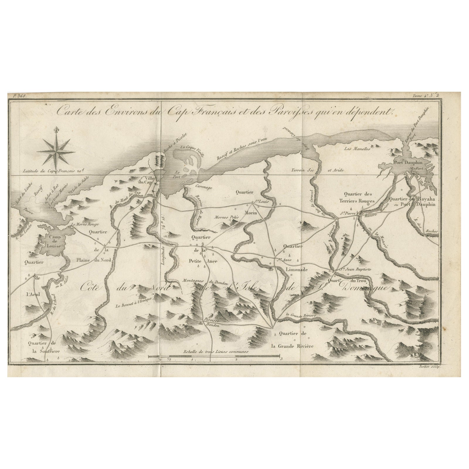
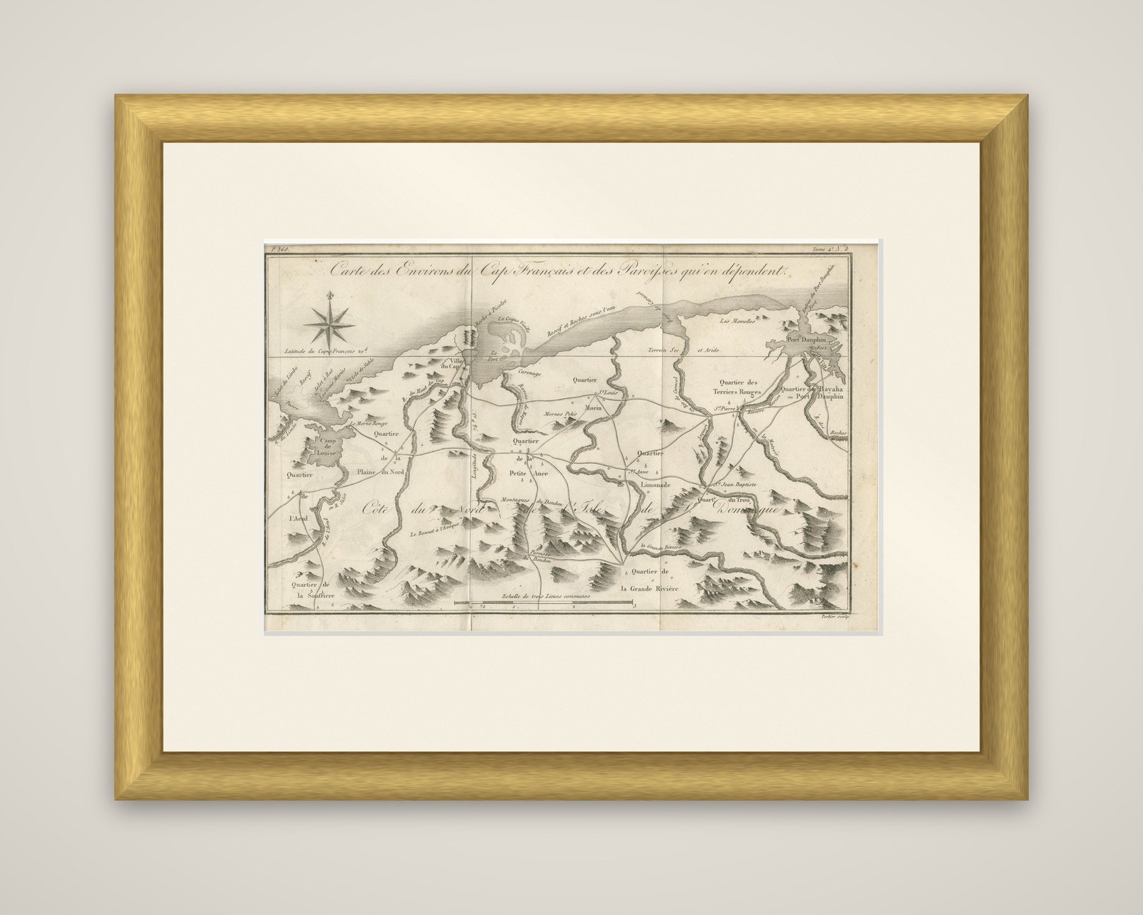
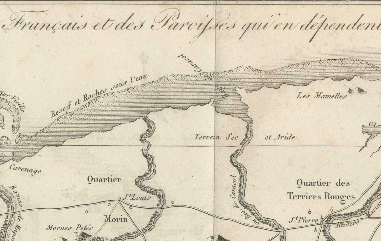
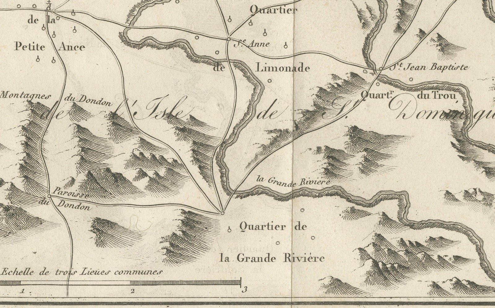
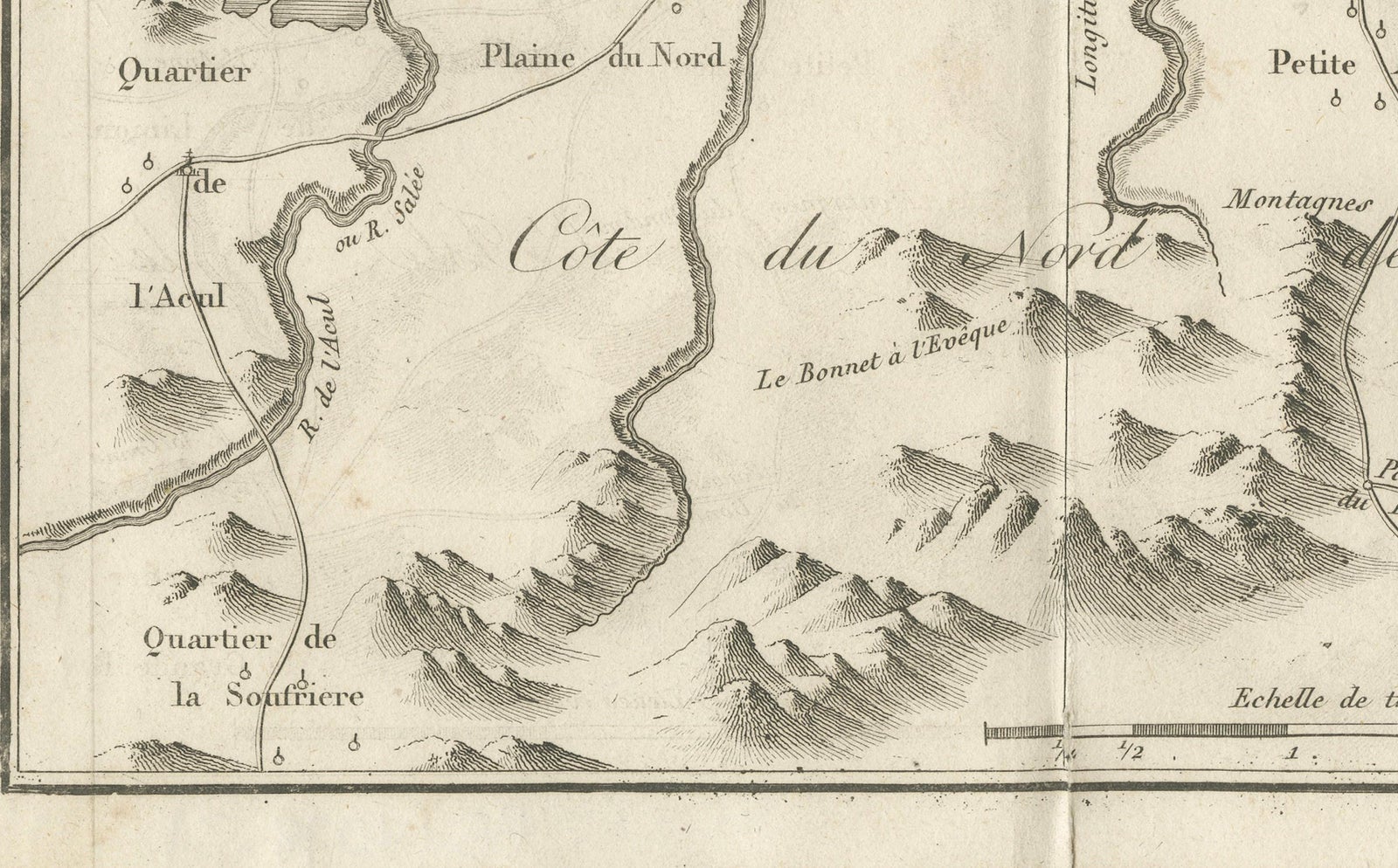
Antique Map of the Environs of Cap-Français, Saint-Domingue, c.1760
$490
€440 · dollar price at today's exchange rate
Buy now Ask a question
Shipping to the United States: $51 standard, $73 express, insured and tracked.
- Date
- 1760
- Kind
- Maps
- Size
- 20 × 31.5 cm (7.9 × 12.4 in)
- Period
- Colonial America
- Places
- Hispaniola (Haiti & Dominican Republic)
- Reference
- BG-14078-31
What the condition grades mean
- Excellent
- Bright and clean, with no faults worth mentioning.
- Very good
- Only light signs of age, such as faint toning.
- Good
- Normal signs of age for a sheet of this period: toning, some foxing, small marks or neat old repairs.
- Fair
- Clear faults such as staining, tears or repairs, priced to match.
Every fault we see is written in the condition note, and the whole sheet is shown uncropped in the photos.
Guaranteed original. This is an original of the period stated, not a later reproduction or print-on-demand copy. If it is ever shown to be otherwise, we refund you in full.
Shipping to the United States. Sent from our gallery in Langweer, the Netherlands, flat between boards or rolled in a tube, and fully insured.
Delivery and import charges.
About this piece
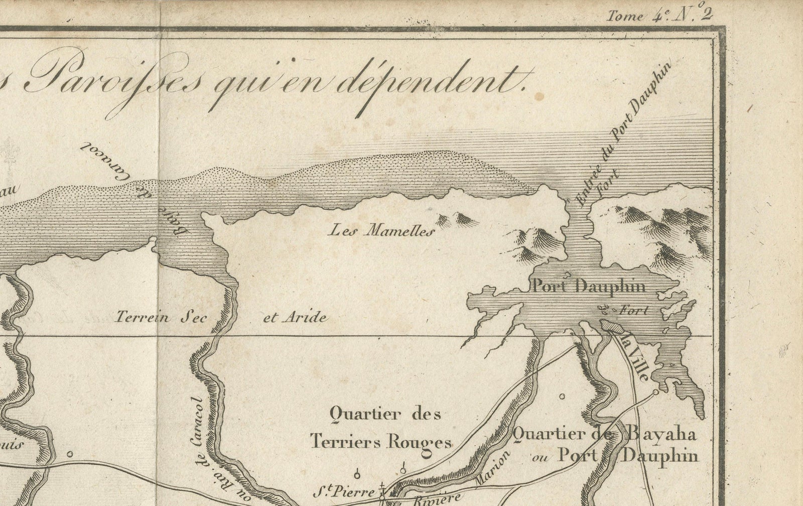
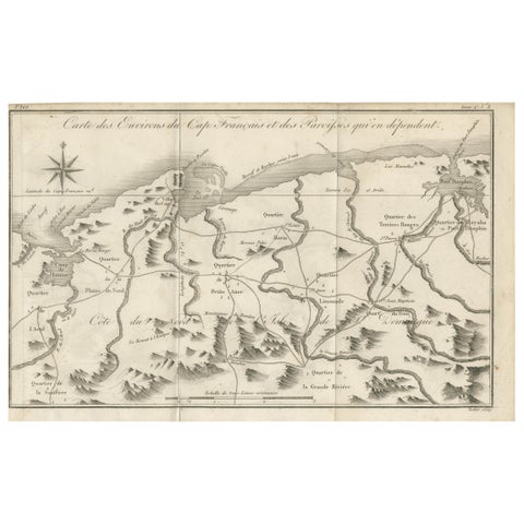
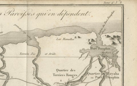
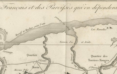
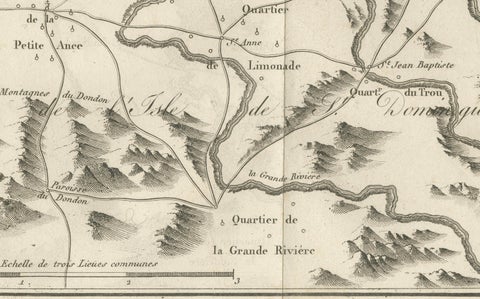
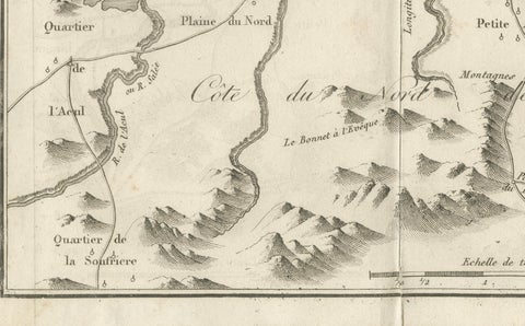
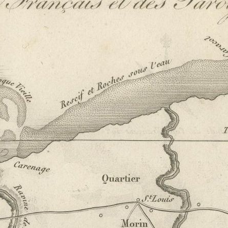
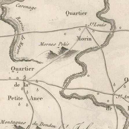
The country around Cap-Français on the north coast of Saint-Domingue, an original copper engraving by Porlier, dated around 1760. The sheet is titled "Carte des Environs du Cap Français et des Paroisses qui en dépendent," with the engraver's credit "Porlier sculp." in the lower right corner and a volume and plate reference in the upper right.
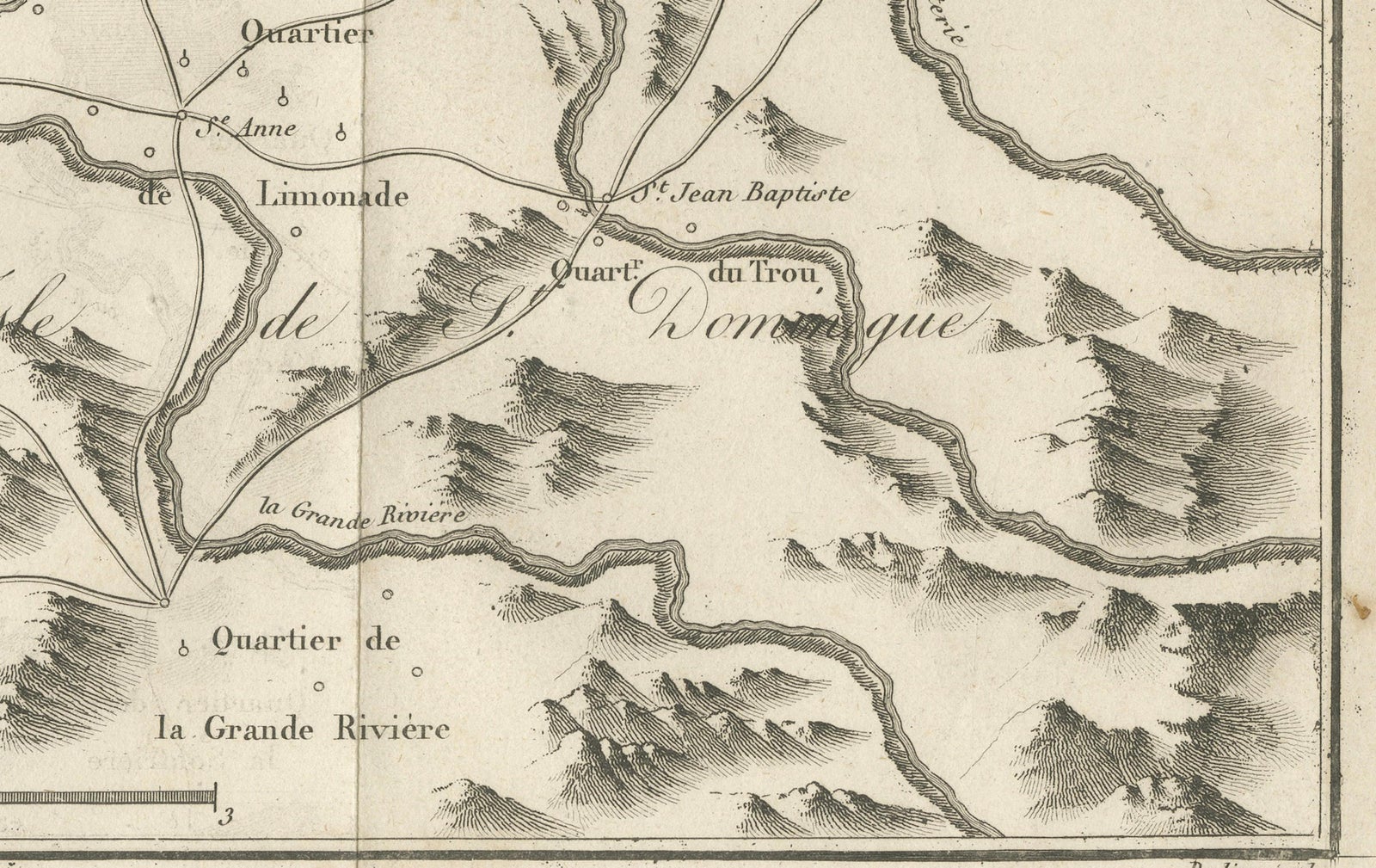
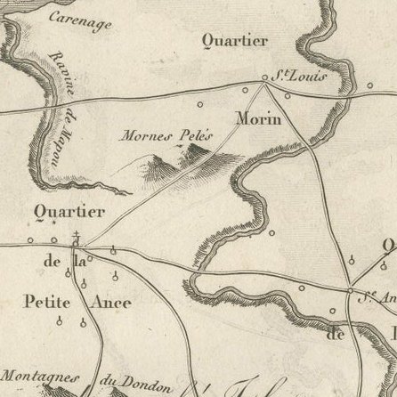
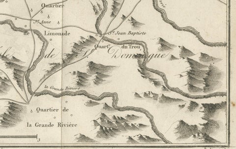
The map runs along the coast from Port Dauphin at the right to the area of L'Acul at the left. The harbor and town of Cap-Français lie at the upper left, with the nearby reefs, sandbanks and the Carénage lettered in the sea. Behind the coast the parishes and quarters are named across the land: Plaine du Nord, Petite Anse, Quartier de la Grande Rivière, Quartier de la Soufrière, Quartier des Terriers Rouges, Limonade and Morin, with roads linking the settlements and rivers running to the coast. Hills are drawn pictorially across the interior, and the "Côte du Nord de l'Isle de Domingue" is lettered along the shore. A compass rose stands at the upper left, and the scale is "Échelle de trois Lieues communes" at the foot.
Cap-Français, now Cap-Haïtien, was the leading city of the colony's northern plain and a center of the sugar trade.