1899 · Maps
Antique Map of Toledo, Ohio, with Maumee Bay, Rand McNally, 1899
$330
€295 · dollar price at today's exchange rate
Buy now Ask a question
Shipping to the United States: $51 standard, $73 express, insured and tracked.
- Date
- 1899
- Maker
- Rand McNally
- Kind
- Maps
- Technique
- Lithograph
- Color
- Printed color
- Size
- 36 × 52 cm (14.2 × 20.5 in)
- Condition
- Good. Good condition for its age. Light age toning, light creasing along the upper and right edges and a small spot in the right margin. Please review the images for further condition details.
- Period
- The Gilded Age
- Places
- Ohio
- Reference
- BG-12793-2-36
What the condition grades mean
- Excellent
- Bright and clean, with no faults worth mentioning.
- Very good
- Only light signs of age, such as faint toning.
- Good
- Normal signs of age for a sheet of this period: toning, some foxing, small marks or neat old repairs.
- Fair
- Clear faults such as staining, tears or repairs, priced to match.
Every fault we see is written in the condition note, and the whole sheet is shown uncropped in the photos.
Guaranteed original. This is an original of the period stated, not a later reproduction or print-on-demand copy. If it is ever shown to be otherwise, we refund you in full.
Shipping to the United States. Sent from our gallery in Langweer, the Netherlands, flat between boards or rolled in a tube, and fully insured.
Delivery and import charges.
About this piece
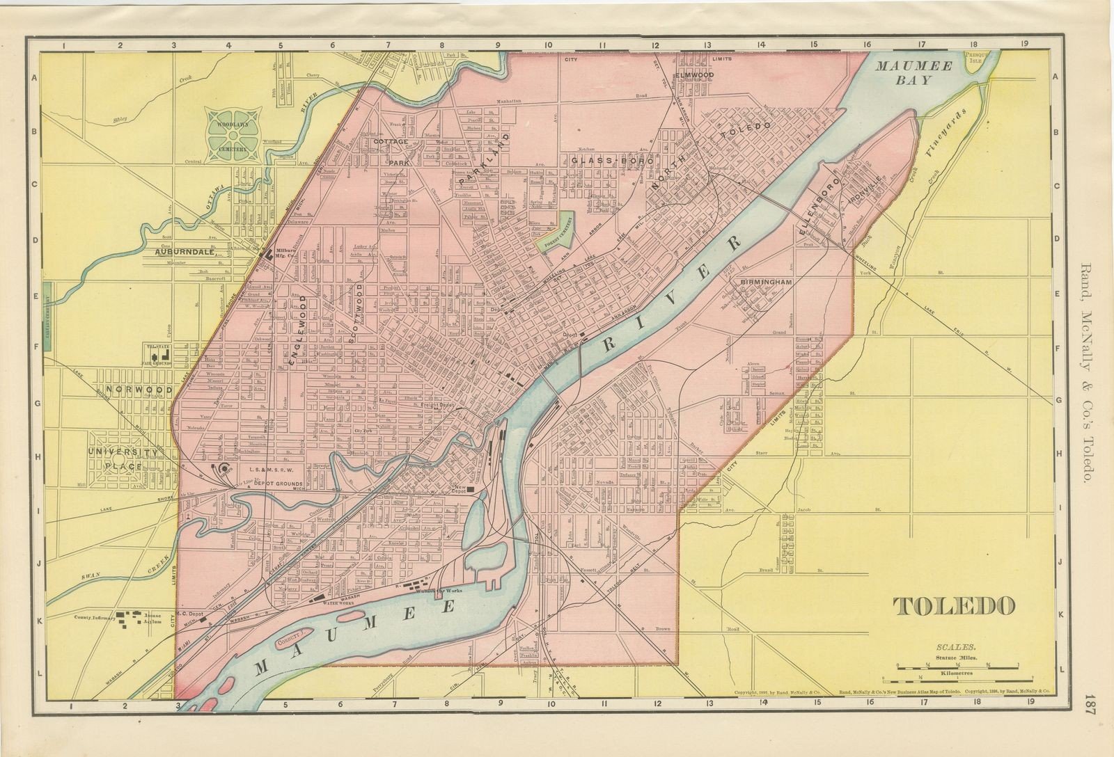
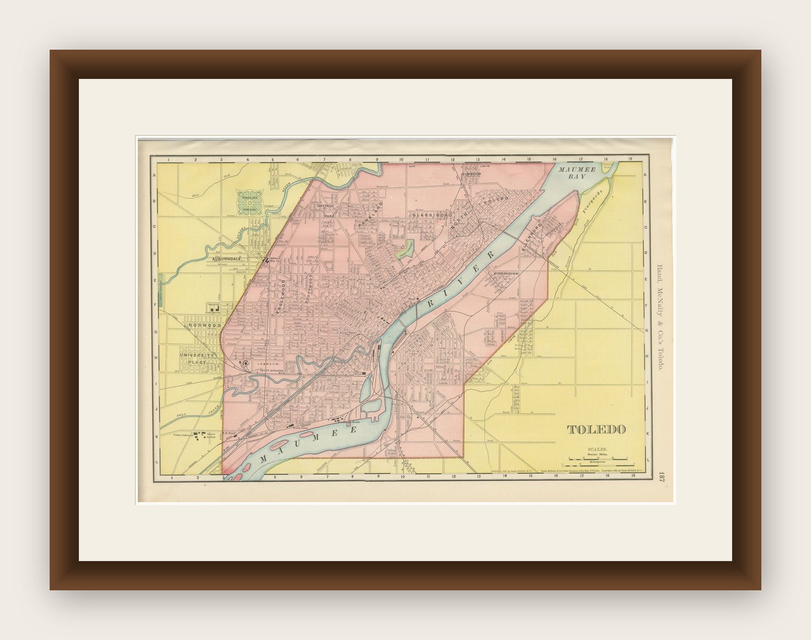
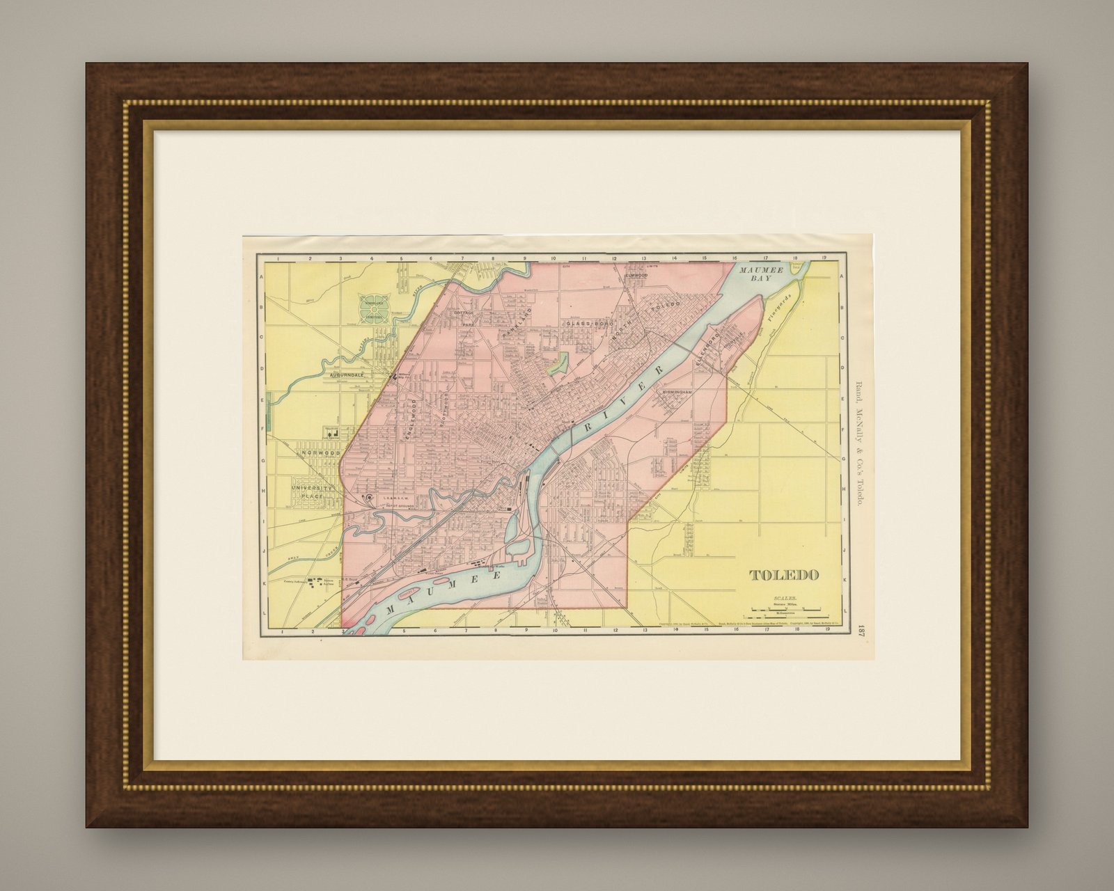
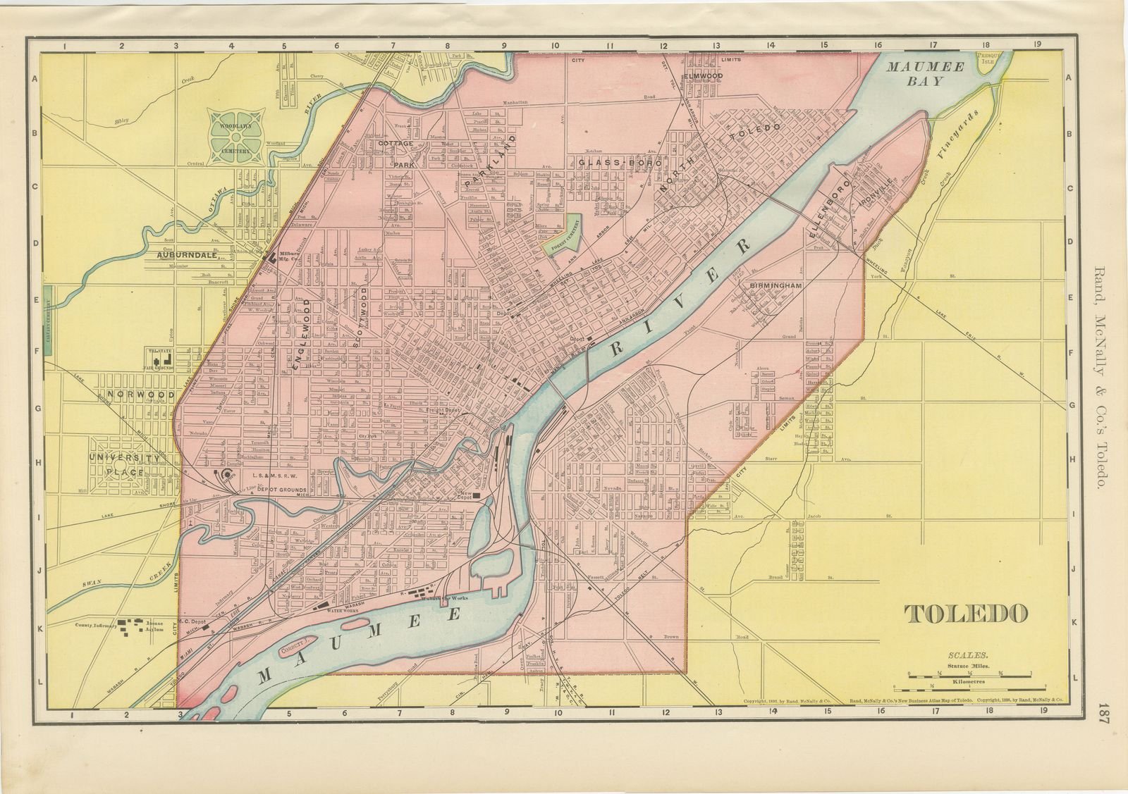
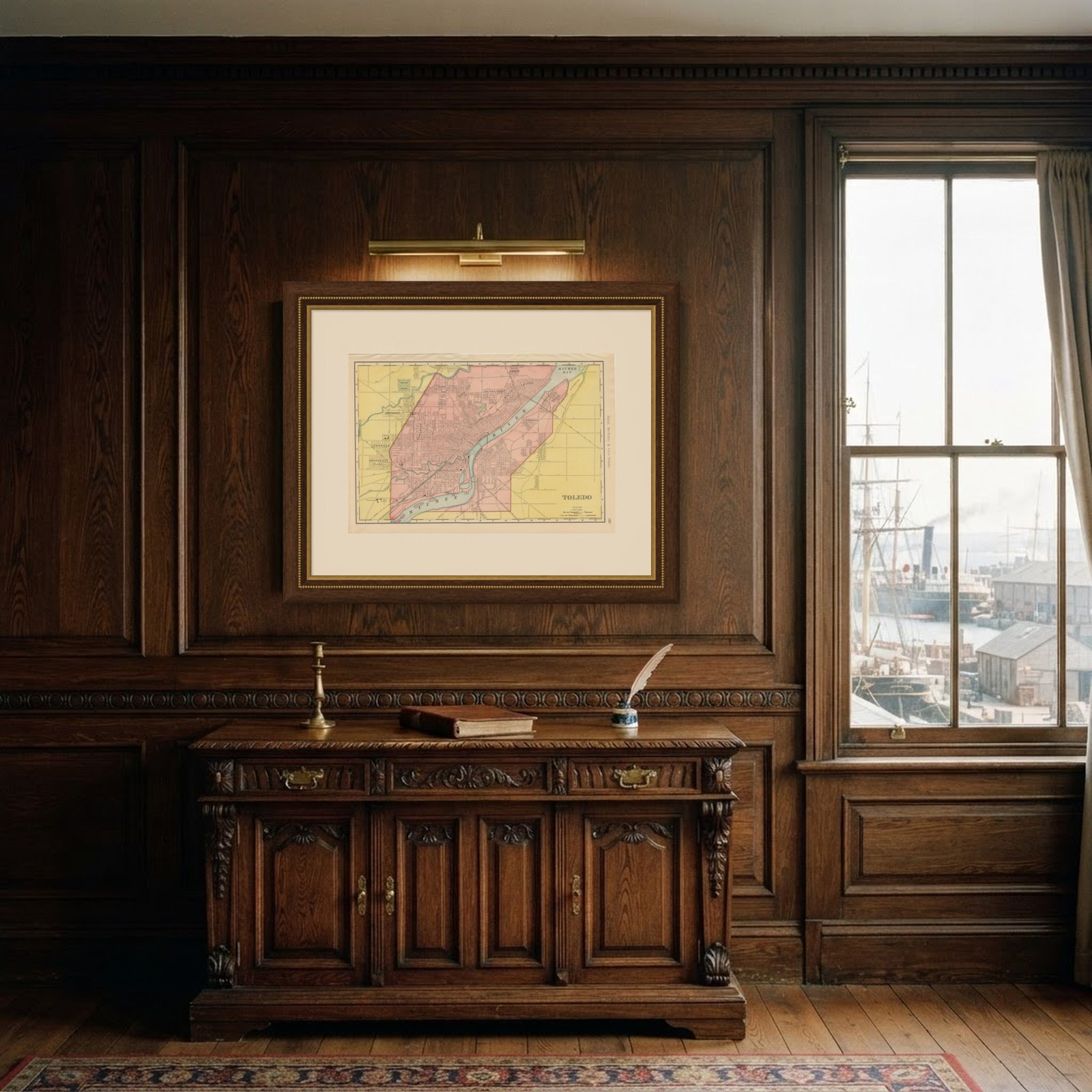
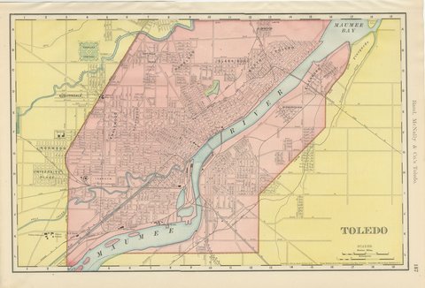
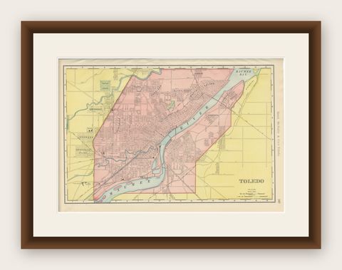
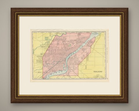
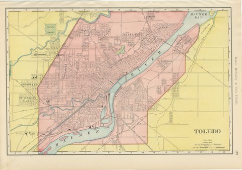
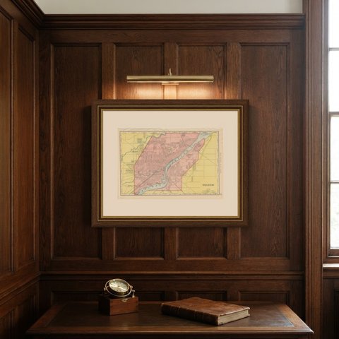
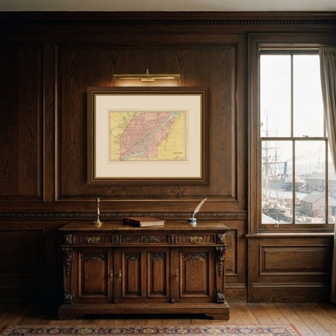
Captioned as the firm's New Business Atlas Map of Toledo, this antique map of Toledo was published by Rand McNally in 1899 on page 187 of the indexed atlas, the built-up city printed in pink along both banks of the Maumee River.
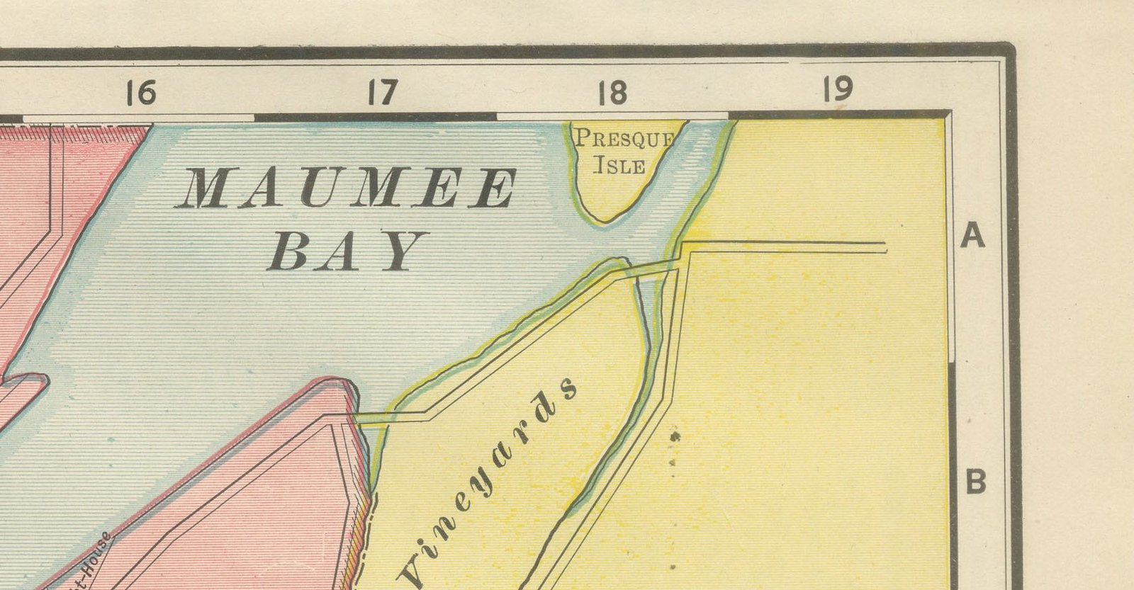
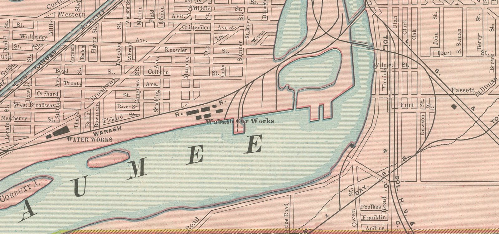
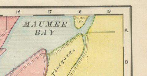
The Maumee widens towards Maumee Bay and Lake Erie in the upper right corner. The diagonal street pattern of the older riverfront wards, laid out to follow the river rather than true north, gives way to the more regular grid of the newer subdivisions, Cottage Park, Parkland, Glassboro and North Toledo among them, spreading north and west from the river.
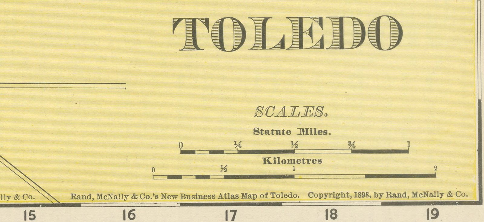
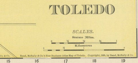
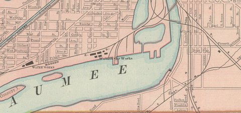
Woodlawn Cemetery and Forest Cemetery are both marked within the city, along with the depot grounds of the Lake Shore and Michigan Southern and the Wabash railroads on the south bank. The outlying settlements of Auburndale, Norwood and University Place are shown just beyond the city limits, still laid out as separate plats rather than absorbed into Toledo's own grid. The river is printed in blue. The plan was copyrighted in the mid-1890s and brought into this 1899 edition, and scale bars in statute miles and kilometers sit at the lower right.
The publisher, Rand, McNally and Company of Chicago, began as a printing business founded by William Rand in the 1850s and joined by Andrew McNally. By the time of the 1899 indexed atlas it ranked among the leading American map publishers, known above all for railroad and commercial maps that were revised from one issue to the next.
In technique it is a lithograph printed in color, with the black outline printed first and the pastel colors printed over it. Once framed, this antique map of Toledo would suit a home or office in the city today, and it will appeal to collectors of American city plans and local history.
The sheet is in good condition for its age, with light age toning, light creasing along the upper and right edges and a small spot in the right margin. Please review the images for further condition details.
This is an original antique map, not a modern reproduction. This item is sold unframed.