1847 · Maps
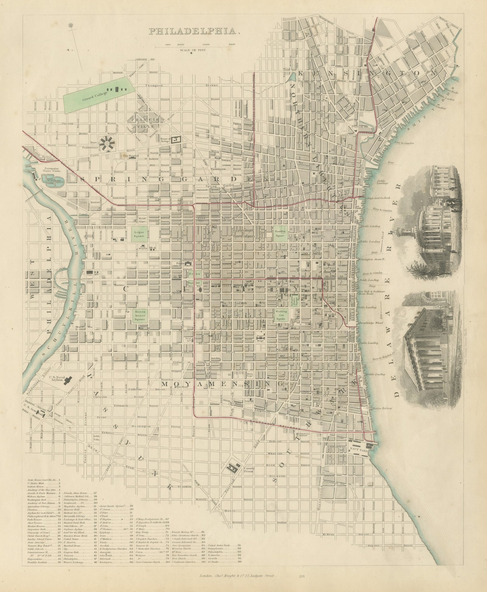
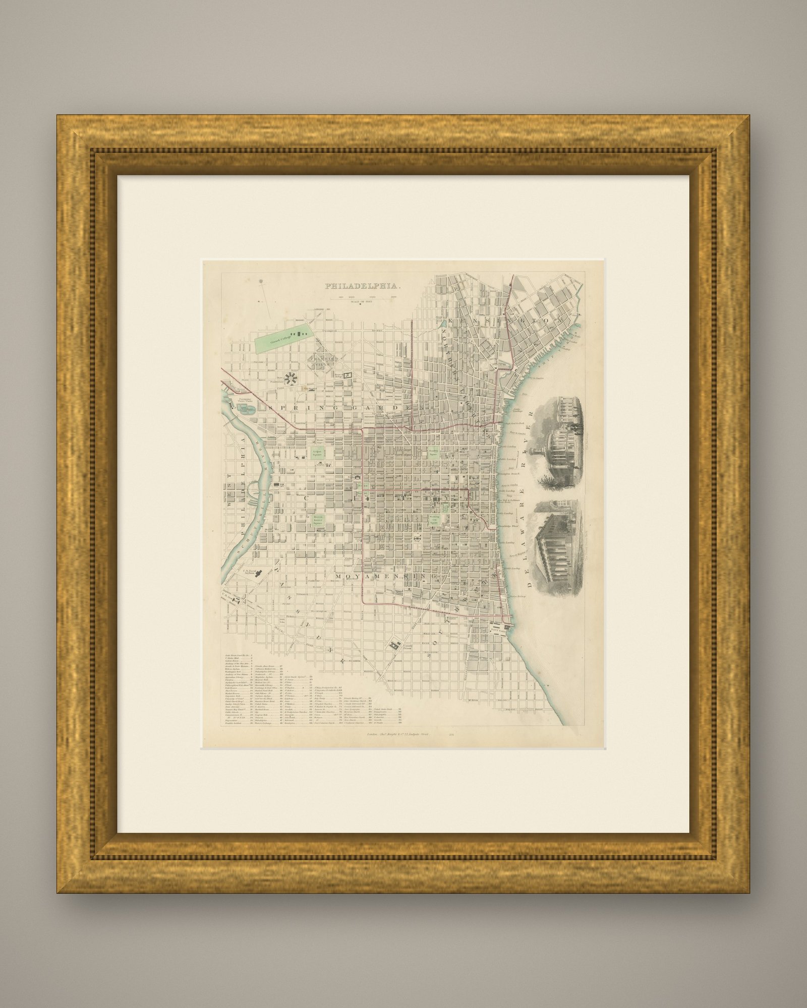
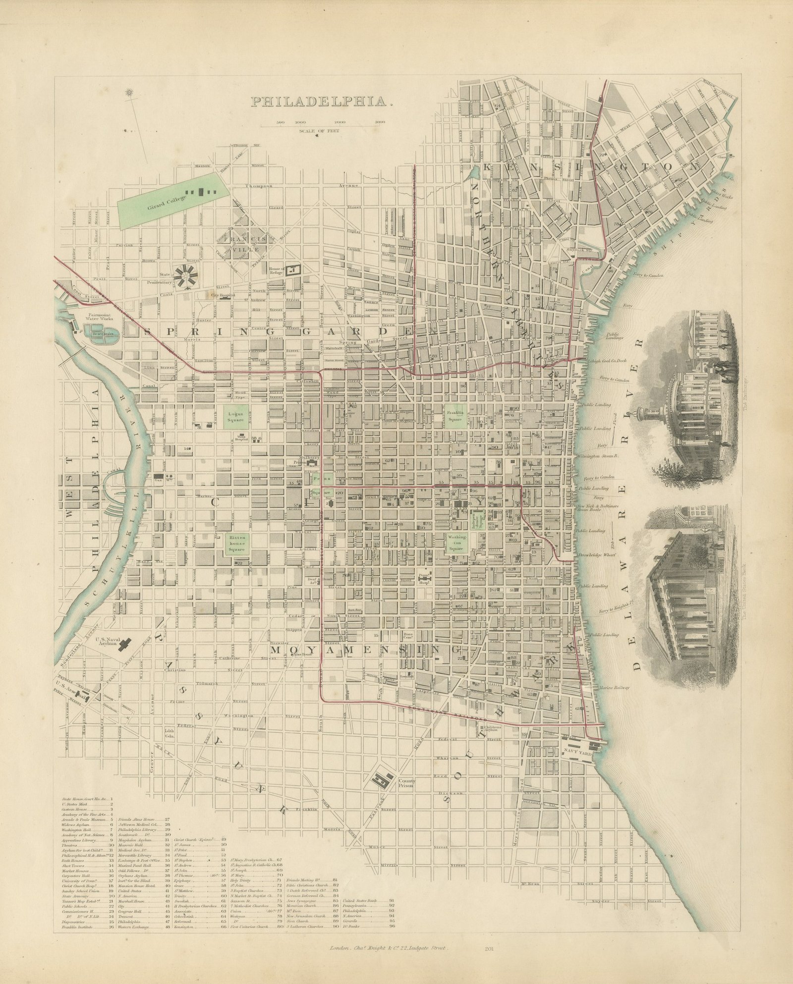
Antique Plan of Philadelphia with Girard College and Navy Yard, 1847
$1,320
€1,190 · dollar price at today's exchange rate
Buy now Ask a question
Shipping to the United States: $50 standard, $73 express, insured and tracked.
- Date
- 1847
- Maker
- Society for the Diffusion of Useful Knowledge
- Kind
- Maps
- Technique
- Steel Engraving
- Color
- Original hand color
- Size
- 43 × 35 cm (16.9 × 13.8 in)
- Condition
- Good. Light uneven toning, browner toward the edges. Handling soiling along the bottom and left edges. Scattered foxing in the margin.
- Period
- Westward Expansion & Civil War
- Reference
- BG-14487-1-37
What the condition grades mean
- Excellent
- Bright and clean, with no faults worth mentioning.
- Very good
- Only light signs of age, such as faint toning.
- Good
- Normal signs of age for a sheet of this period: toning, some foxing, small marks or neat old repairs.
- Fair
- Clear faults such as staining, tears or repairs, priced to match.
Every fault we see is written in the condition note, and the whole sheet is shown uncropped in the photos.
Guaranteed original. This is an original of the period stated, not a later reproduction or print-on-demand copy. If it is ever shown to be otherwise, we refund you in full.
Shipping to the United States. Sent from our gallery in Langweer, the Netherlands, flat between boards or rolled in a tube, and fully insured.
Delivery and import charges.
About this piece
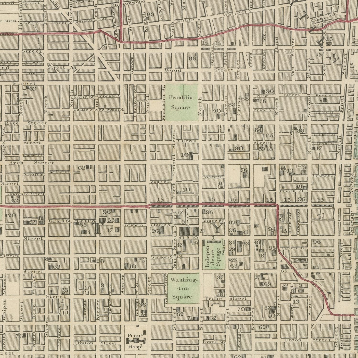
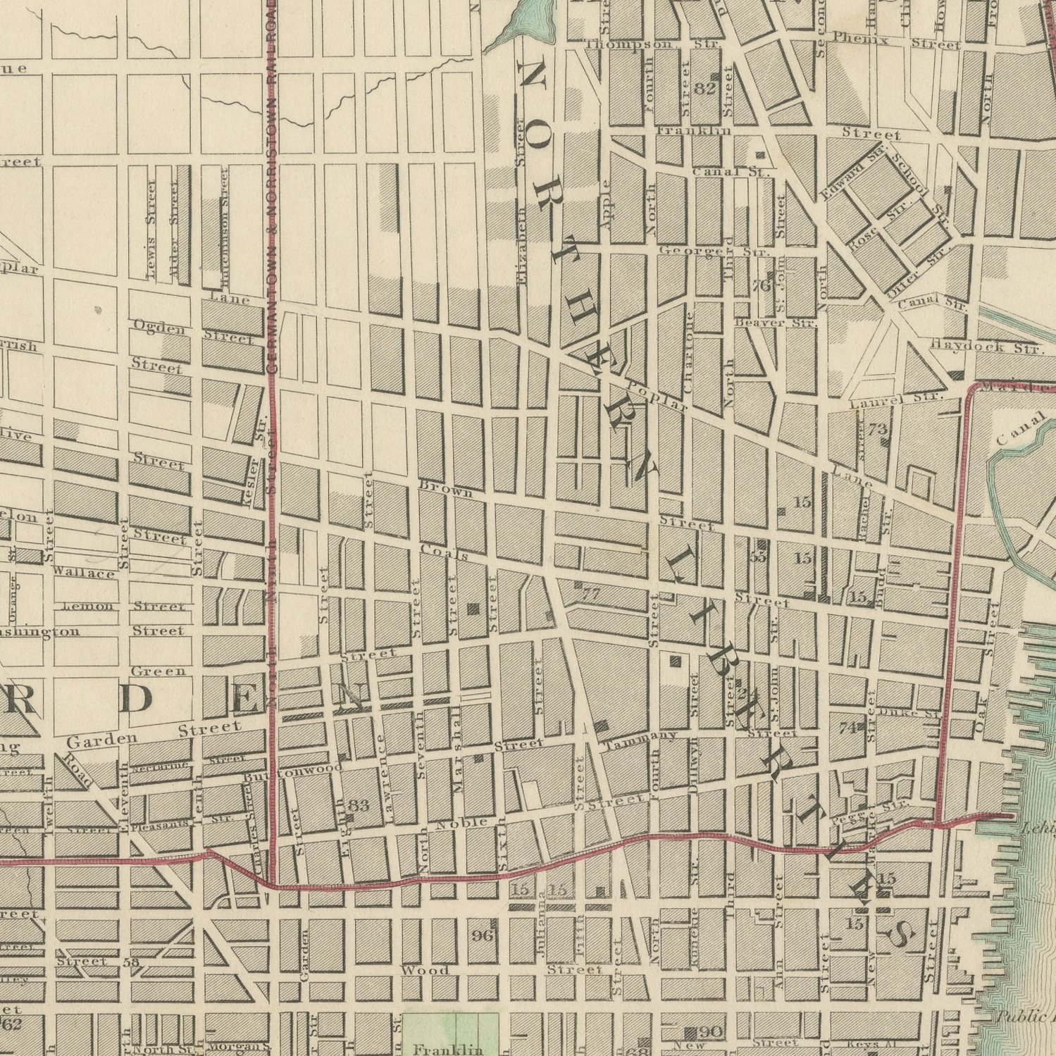
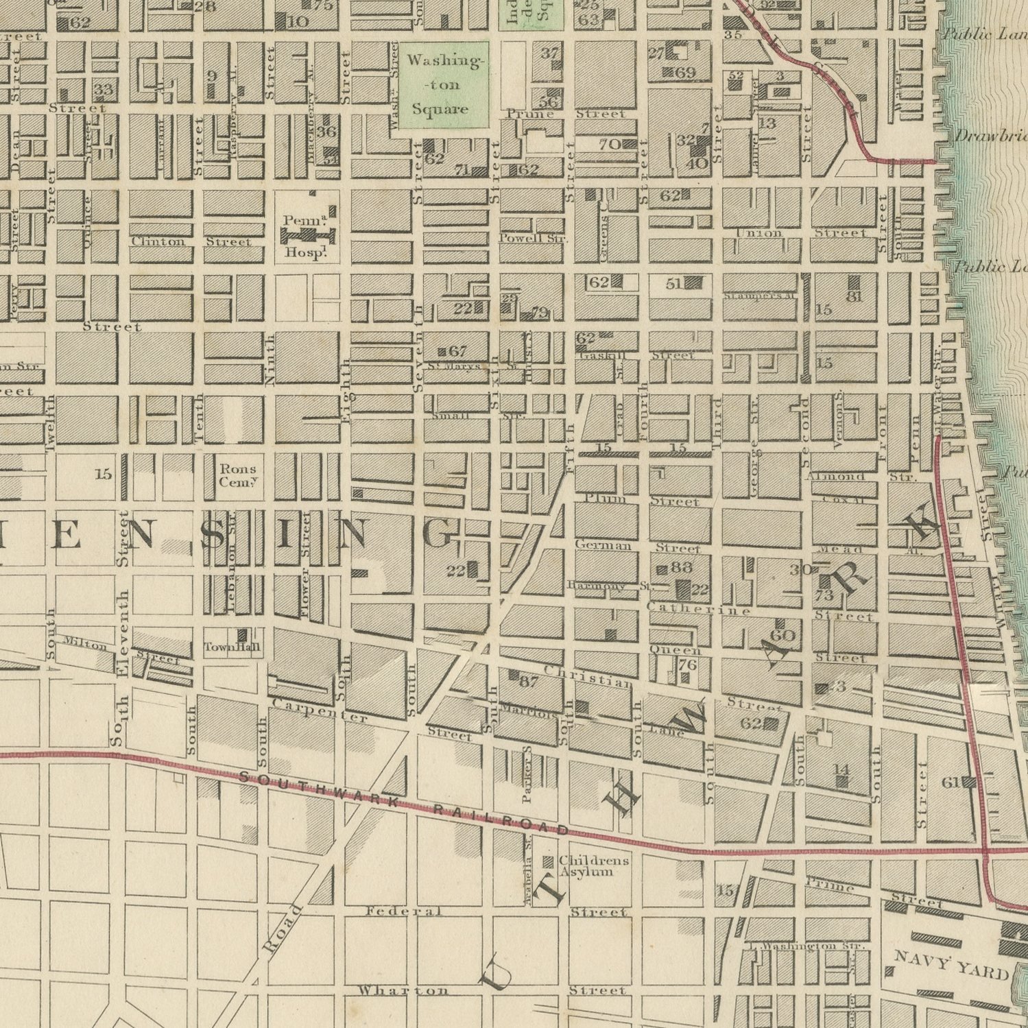
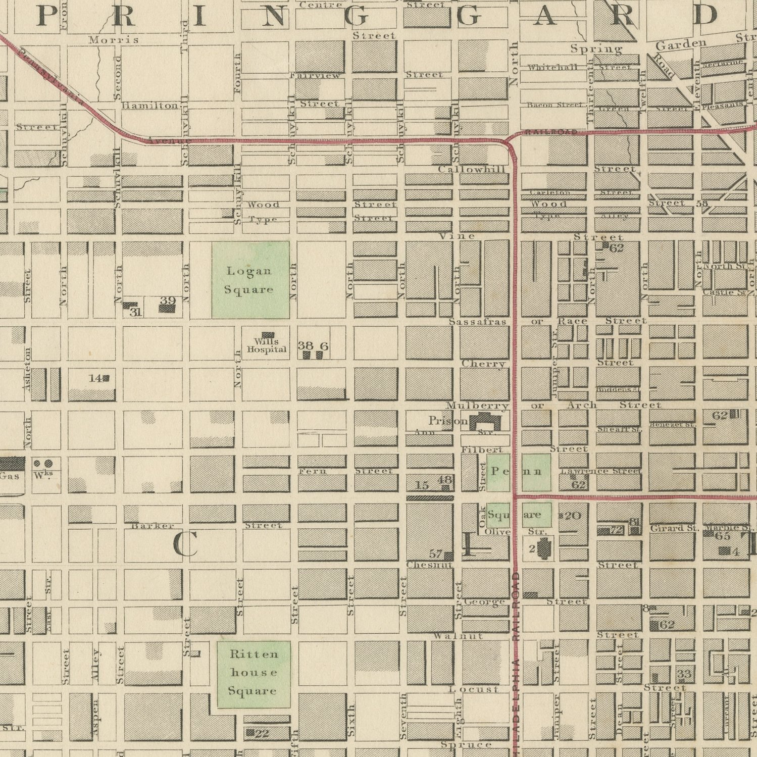
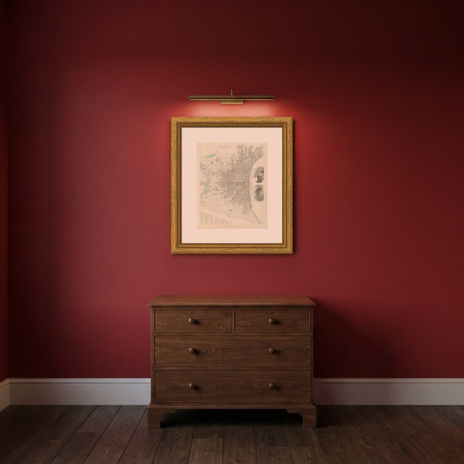
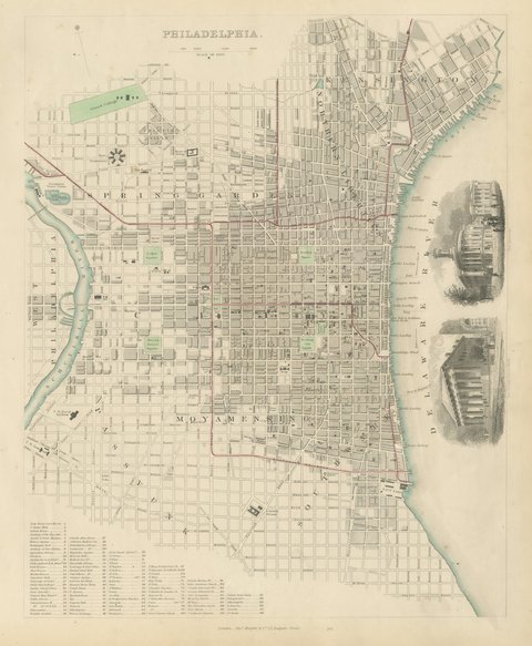
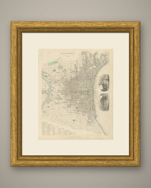
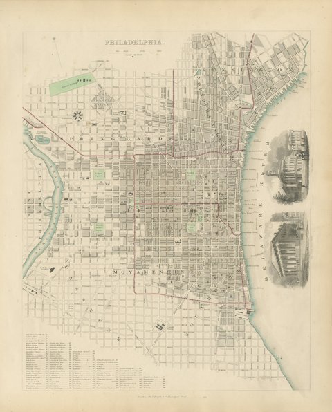
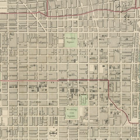
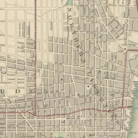
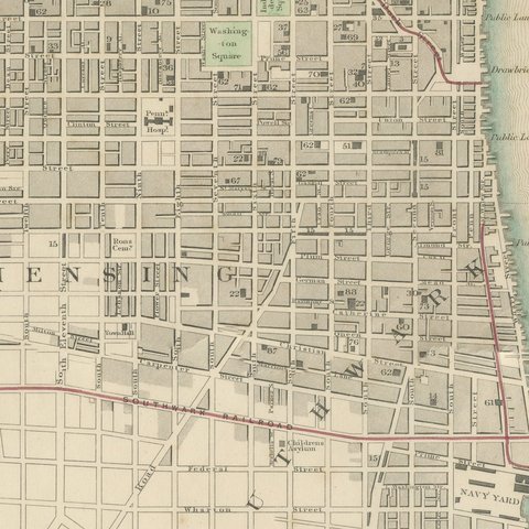
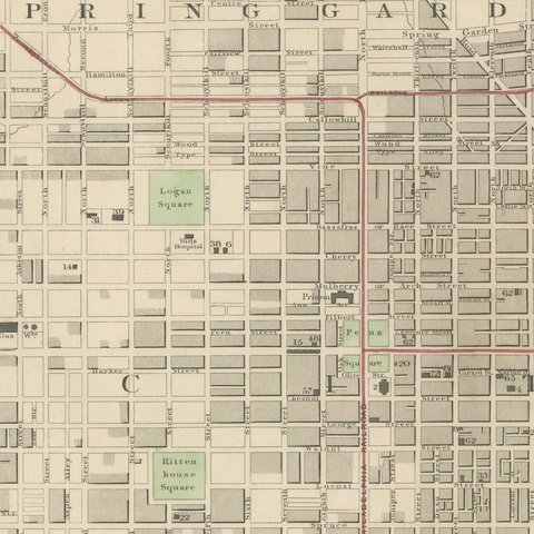
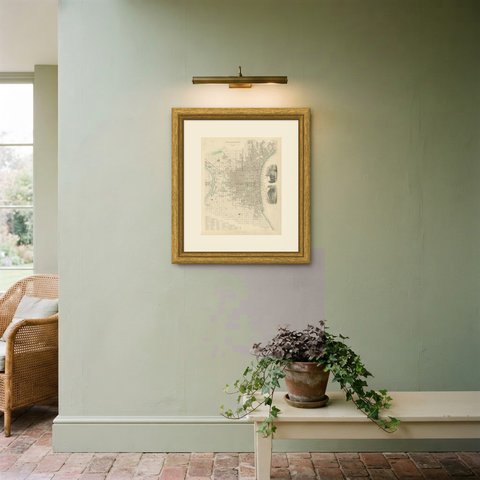
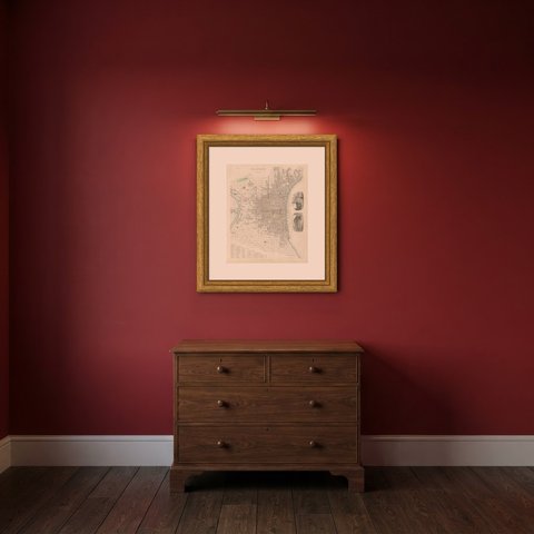
This is an original antique city plan of Philadelphia, steel engraved and published in the atlas of the Society for the Diffusion of Useful Knowledge. The plan lays out William Penn's grid between the Delaware and the Schuylkill, with Rittenhouse, Logan, Franklin and Washington Squares hand colored green, and the separate districts of Spring Garden, Northern Liberties, Kensington, Southwark and Moyamensing around it. Girard College and the Fairmount Water Works are marked, ninety six public buildings are numbered and keyed, and two vignettes show the Exchange and the United States Bank. The outline and water coloring is original hand color, applied by the publisher before the sheet was bound into the volume.
It carries plate number 201 and belongs to the third volume of the Society for the Diffusion of Useful Knowledge atlas, the volume given over to plans of cities, the stars and the index to places, published by Charles Knight of 22 Ludgate Street in London in 1847. Knight took over the Society's map series and reissued it corrected, so the plates carry a range of dates within one set.
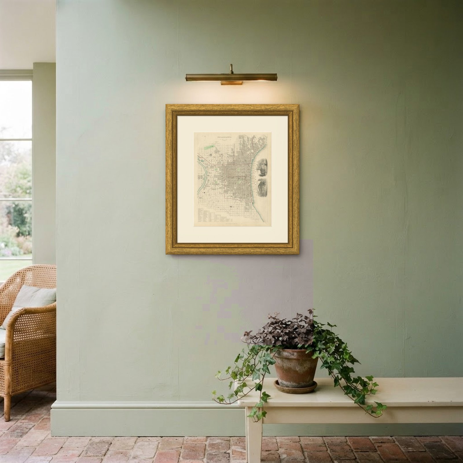
Philadelphia was the second city of the United States and the plan catches it before the consolidation of 1854 swallowed the surrounding districts into the city proper. The long key of public buildings makes this a working directory of a great American city as well as a handsome sheet. Framed simply in dark wood or a plain gilt frame it suits a study, a hallway or a dining room, and it is a natural gift for anyone with a tie to the place.
Light uneven toning, browner toward the edges. Handling soiling along the bottom and left edges. Scattered foxing in the margin.
This is an original antique map, not a modern reproduction. This item is sold unframed.