

A Bartele Gallery CollectionLangweer · Jakarta

American Maps & Prints
Original antique maps, charts & prints of the Americas ★ Originals only


Home › The United States › Utah
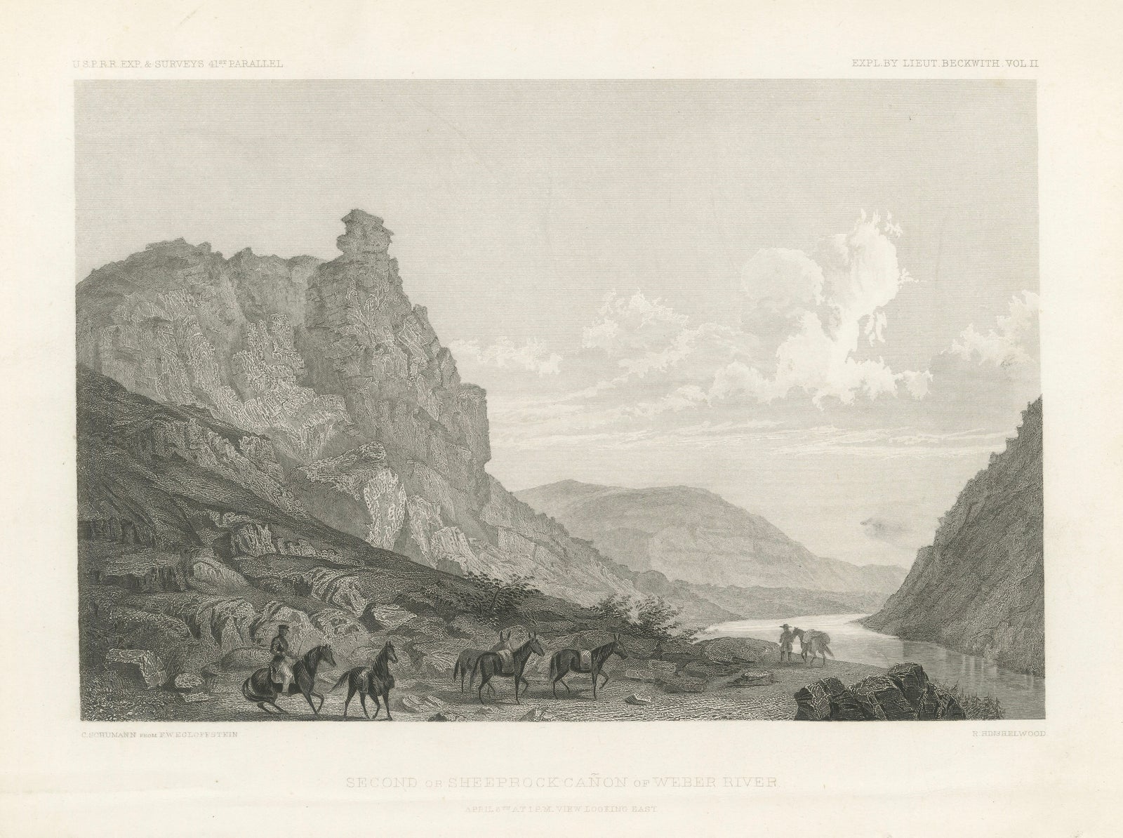
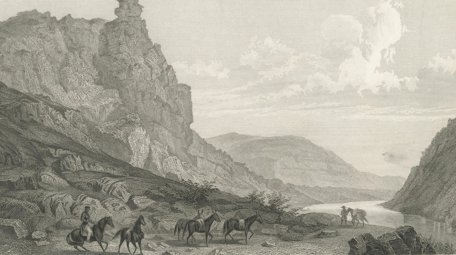
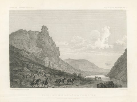
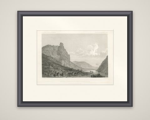
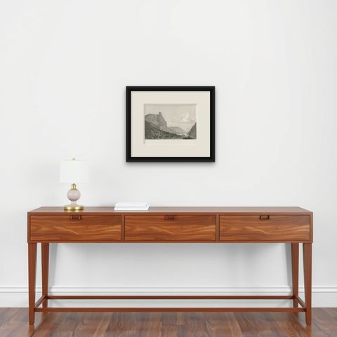
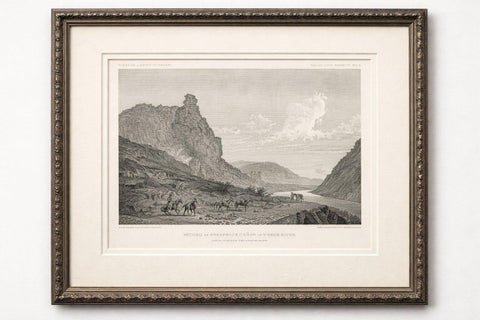
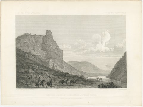
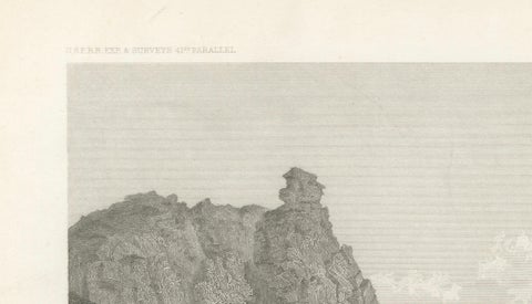
Antique Utah Canyon Print, Weber River & Sheep Rock Canyon View, 1861
1861 · Views & Engravings

Antique Utah Canyon Print, Weber River & Sheep Rock Canyon View, 1861

$315
€280 · dollar price at today's exchange rate

Buy now Ask a question

Shipping to the United States: $51 standard, $73 express, insured and tracked.

Date
1861
Kind
Views & Engravings
Size
21.5 × 28 cm (8.5 × 11 in)
Condition
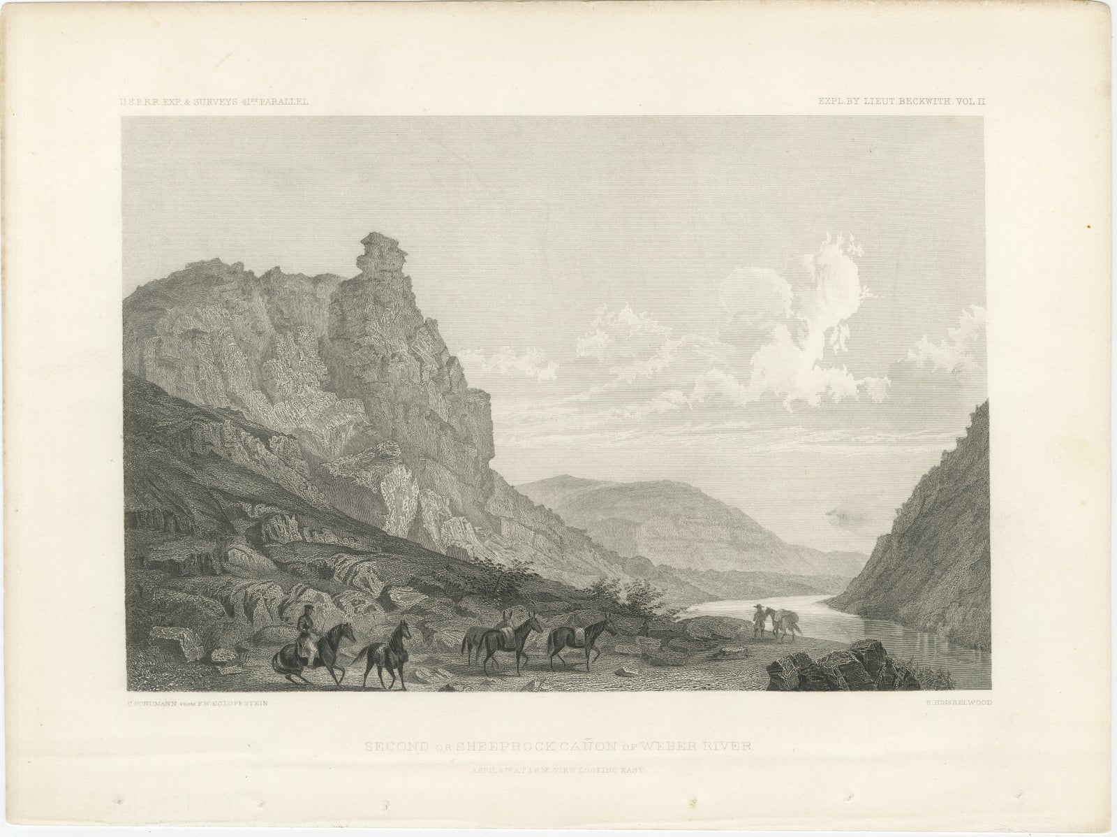
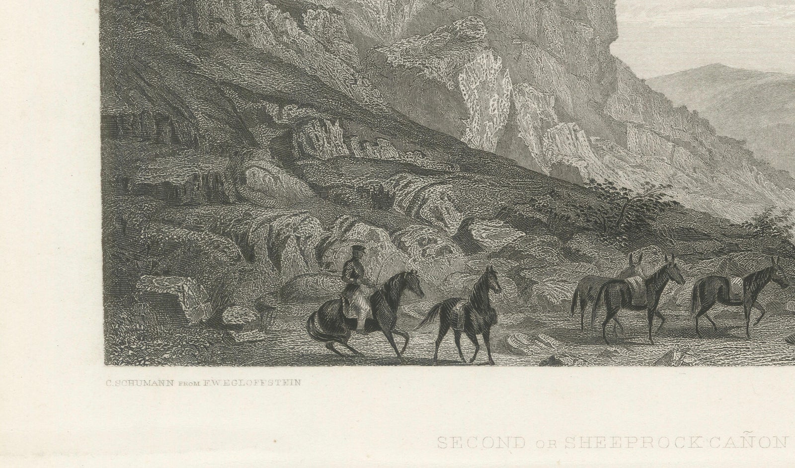
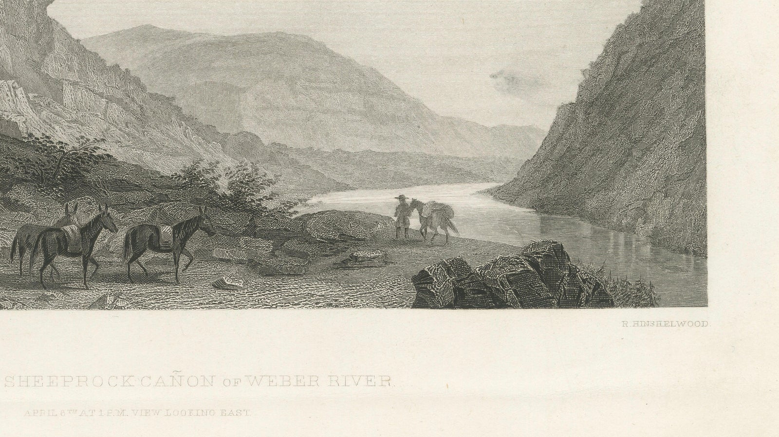
Good. Good condition with age-related toning and light spotting, mainly in the margins. Small binding holes visible in the lower border. Image remains clean with strong detail. Plate mark visible.
Period
Westward Expansion & Civil War
Places
Utah
Reference
BG-14038-166
What the condition grades mean
Excellent
Bright and clean, with no faults worth mentioning.
Very good
Only light signs of age, such as faint toning.
Good
Normal signs of age for a sheet of this period: toning, some foxing, small marks or neat old repairs.
Fair
Clear faults such as staining, tears or repairs, priced to match.

Every fault we see is written in the condition note, and the whole sheet is shown uncropped in the photos.

Guaranteed original. This is an original of the period stated, not a later reproduction or print-on-demand copy. If it is ever shown to be otherwise, we refund you in full.
Shipping to the United States. Sent from our gallery in Langweer, the Netherlands, flat between boards or rolled in a tube, and fully insured. Delivery and import charges.
About this piece

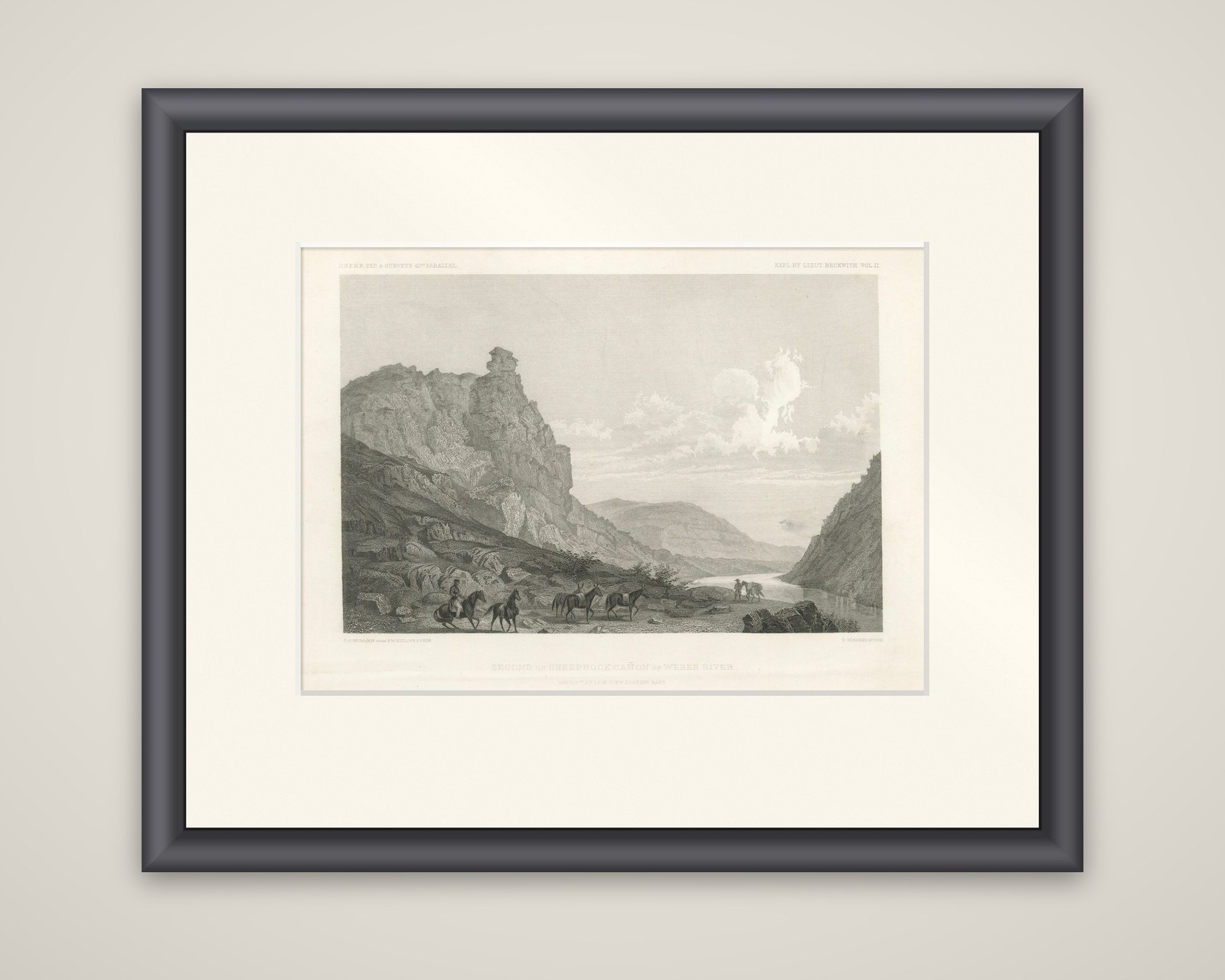
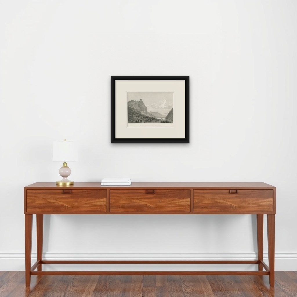
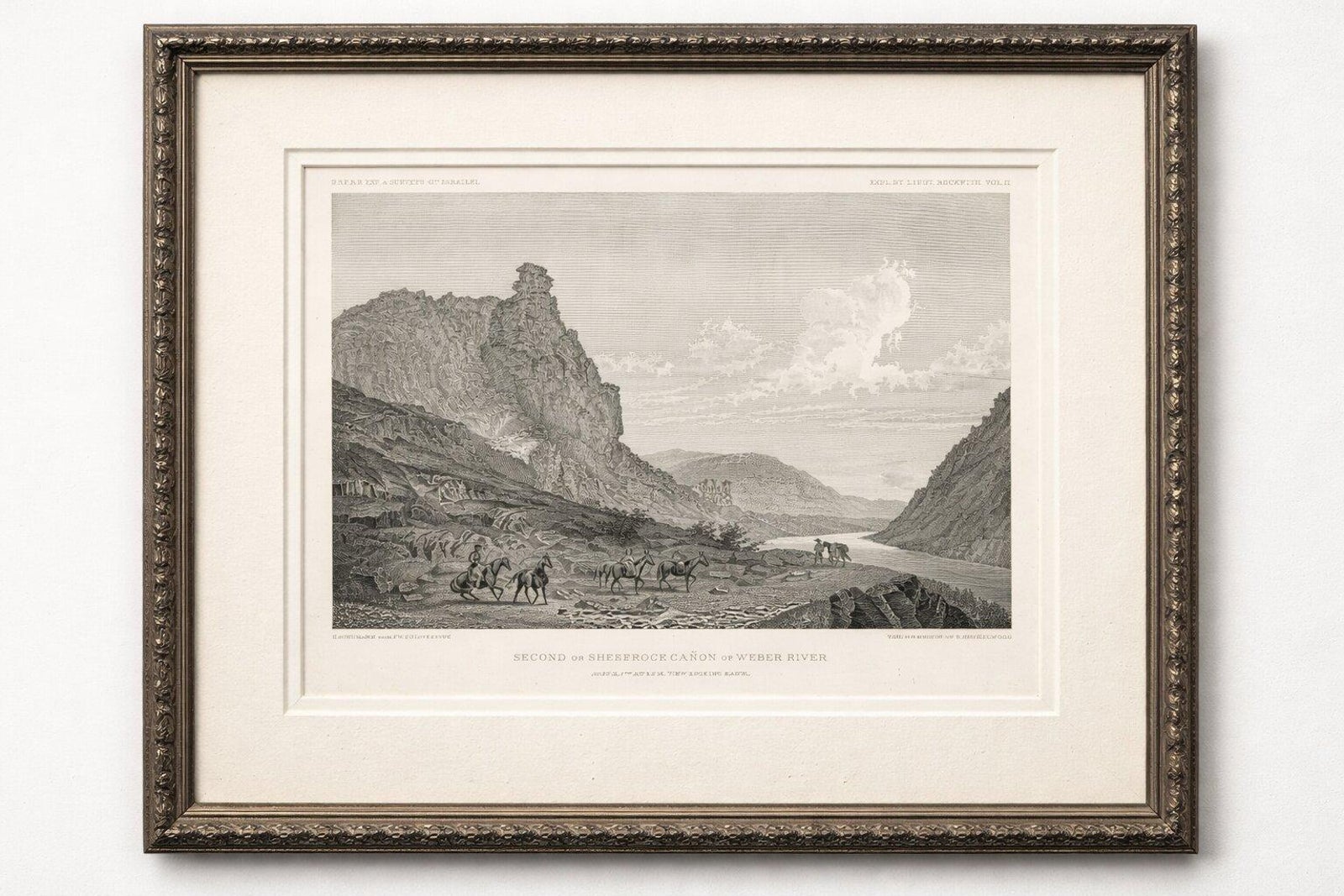
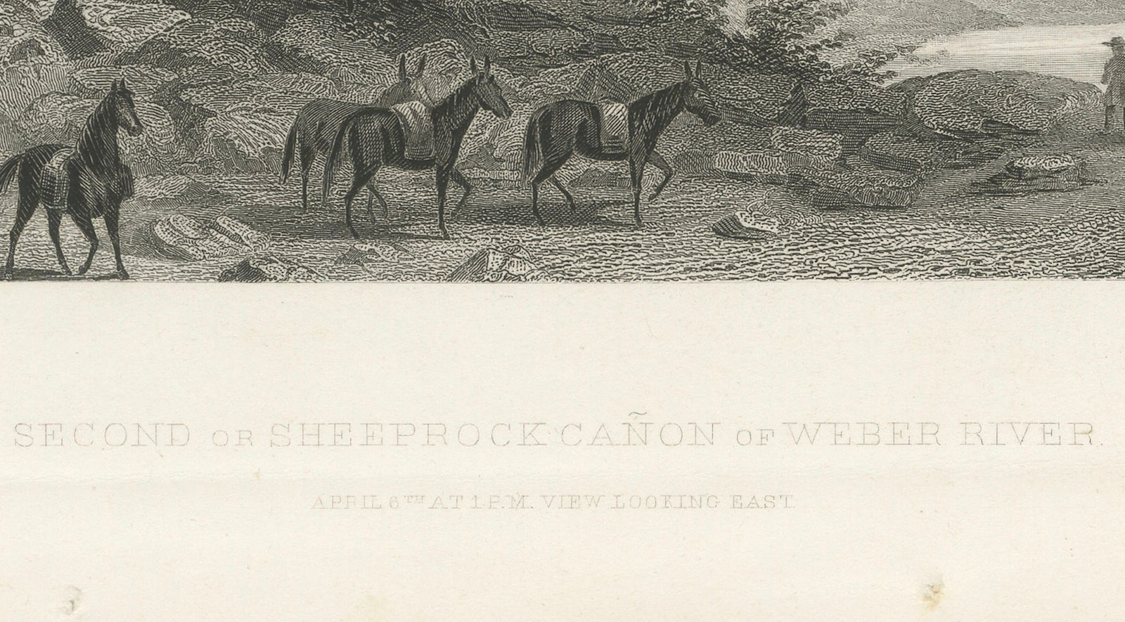
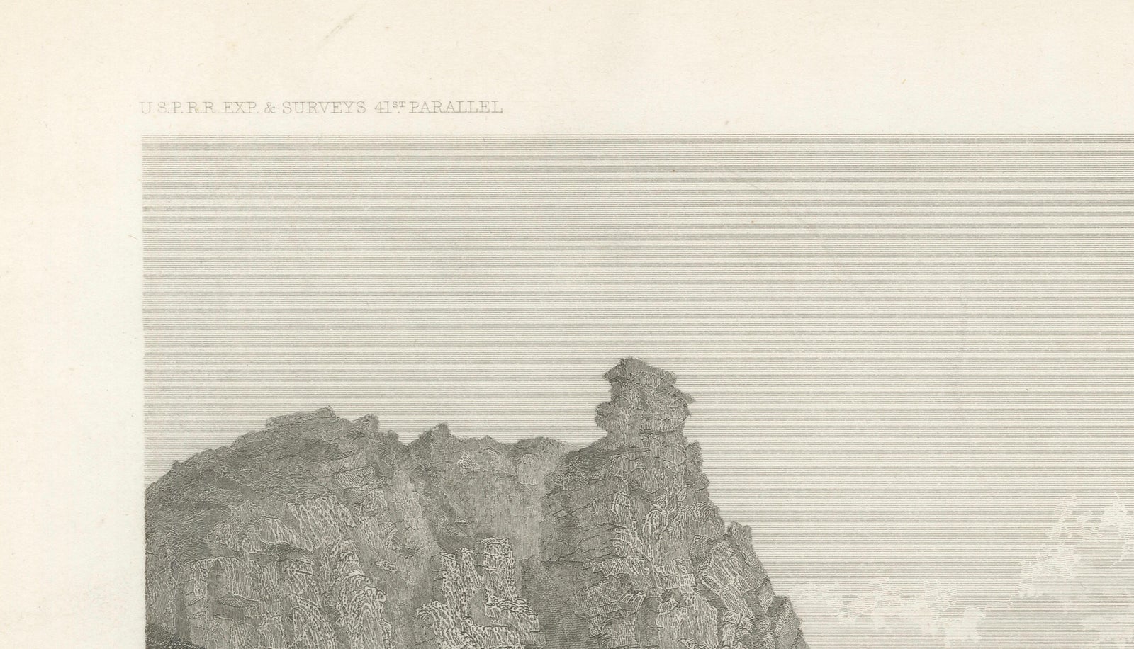
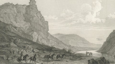
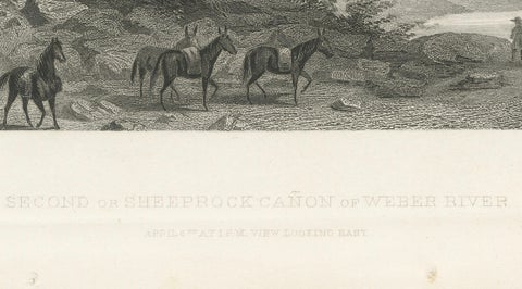
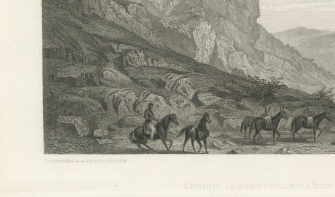
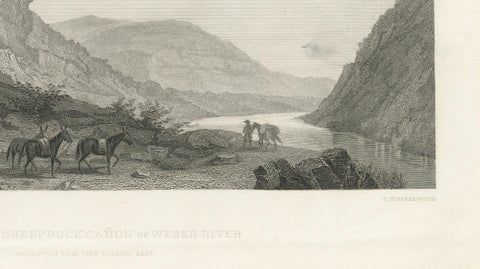
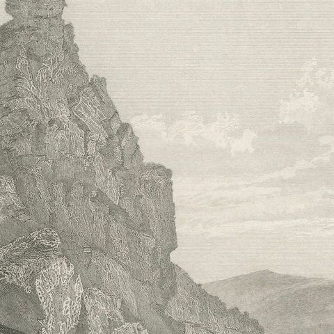
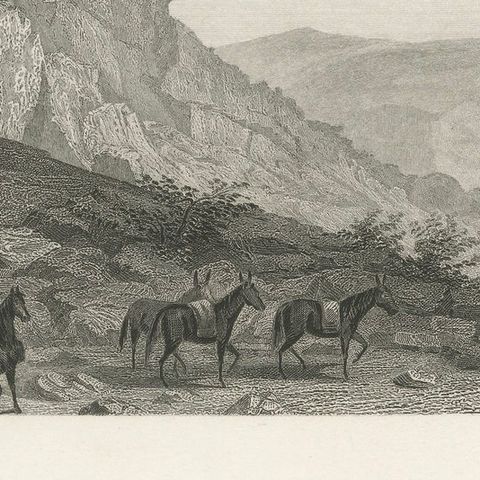
The Second or Sheeprock Cañon of Weber River in Utah, an original steel engraving from the Pacific Railroad Surveys, printed in Washington, D.C. around 1860 to 1861. The top lettering reads "U.S.P.R.R. Exp. & Surveys 41st Parallel" and "Expl. by Lieut. Beckwith, Vol. II", and the plate title reads "Second or Sheeprock Cañon of Weber River" with a note of the time and place of drawing beneath.

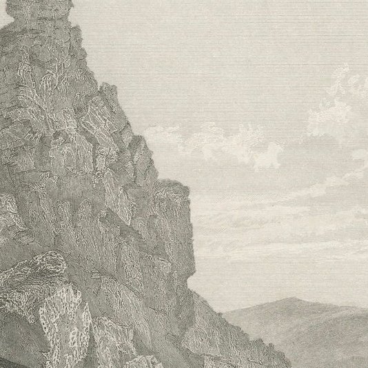
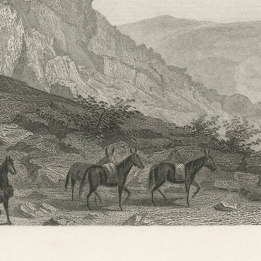
A pack train of mounted men and loaded horses picks its way across a rocky slope in the foreground, with a second party at the right edge by the river. At the left a tall pinnacle of layered rock, which gives the canyon its name, rises above a steep talus slope. The river bends away between walls of rock into the distance, where rounded hills lie under a sky of drifting cloud.

The view was drawn by F.W. Egloffstein and engraved by C. Schumann. The survey along the 41st parallel, led by Lieutenant Edward G. Beckwith, was one of several expeditions sent to find a practicable railroad route to the Pacific, and its plates are among the earliest printed views of the interior West.

★

More of Utah


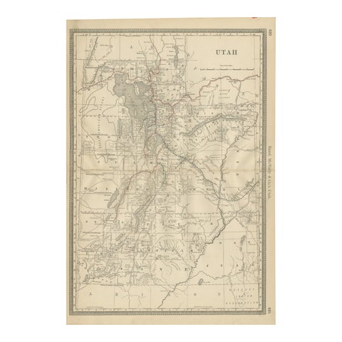
Rare 1888 Utah Map – The Beehive State’s Railroads, Counties & Great Salt Lake
1888 · Rand McNally
$515
Antique Map of Utah, The Beehive State, Rand McNally, 1899
1899 · Rand McNally
$385
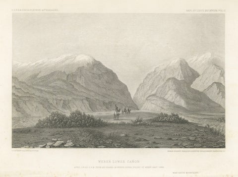
Antique Utah Landscape Print, Weber Canyon & Great Salt Lake Valley, 1861
1861
$315
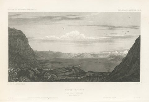
Antique Utah Landscape Print, Round Prairie & Timpanogos Valley, 1861
1861
$315
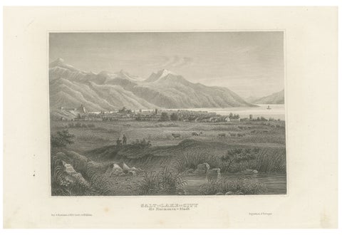
Antique Steel Engraving of Salt Lake City, Mormon Settlement, ca. 1850
1850
$245

Ask about this print

We reply by email, usually within one working day.

Your favorites

Saved in this browser. Email the list to yourself to keep it on any device.

We use your email to send this list and, only if you tick the box and confirm, for occasional new arrivals. Every email has an unsubscribe link. Bartele Gallery, the Netherlands.

Your bag

Total

Each piece is bought on its own; shipping is added at checkout.