Original antique maps & prints of
Utah
★ 6 original pieces ★
Settled by the Mormon pioneers from 1847, Utah was organized as a territory in 1850 and admitted as a state only in 1896. We currently hold 6 original sheets of Utah, published between 1850 and 1899. Of these, 2 are maps and 4 are views and prints. The earliest is Antique Steel Engraving of Salt Lake City, Mormon Settlement, ca. 1850.
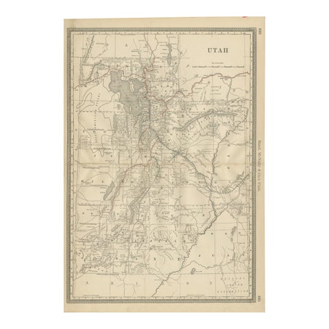
Rare 1888 Utah Map – The Beehive State’s Railroads, Counties & Great Salt Lake
1888 · Rand McNally
$515
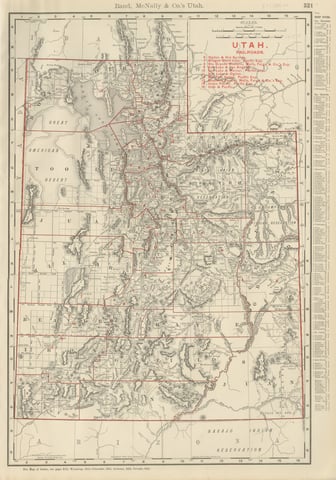
Antique Map of Utah, The Beehive State, Rand McNally, 1899
1899 · Rand McNally
$385
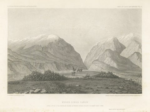
Antique Utah Landscape Print, Weber Canyon & Great Salt Lake Valley, 1861
1861
$315
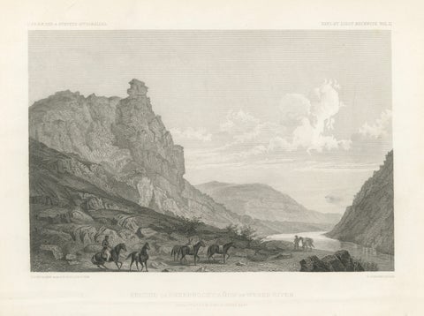
Antique Utah Canyon Print, Weber River & Sheep Rock Canyon View, 1861
1861
$315
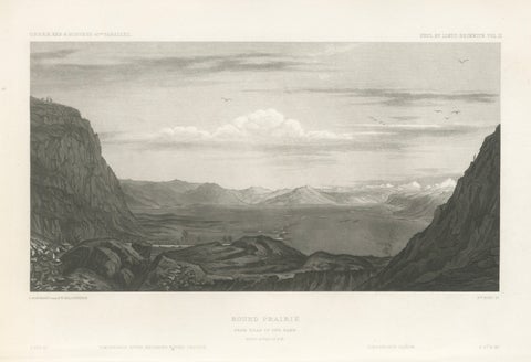
Antique Utah Landscape Print, Round Prairie & Timpanogos Valley, 1861
1861
$315
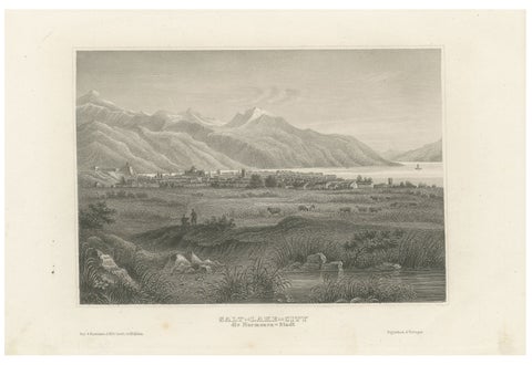
Antique Steel Engraving of Salt Lake City, Mormon Settlement, ca. 1850
1850
$245
★
More of The Mountain West