1748 · Maps
Rare Map of St. Louis on the Island of Hispaniola 'Santa Domingo', 1748
$390
€350 · dollar price at today's exchange rate
Buy now Ask a question
Shipping to the United States: $51 standard, $73 express, insured and tracked.
- Date
- 1748
- Kind
- Maps
- Size
- 20.1 × 12.7 cm (7.9 × 5 in)
- Condition
- Good. GoodWear consistent with age and use.
- Period
- Colonial America
- Places
- Hispaniola (Haiti & Dominican Republic)
- Reference
- BL-00077
What the condition grades mean
- Excellent
- Bright and clean, with no faults worth mentioning.
- Very good
- Only light signs of age, such as faint toning.
- Good
- Normal signs of age for a sheet of this period: toning, some foxing, small marks or neat old repairs.
- Fair
- Clear faults such as staining, tears or repairs, priced to match.
Every fault we see is written in the condition note, and the whole sheet is shown uncropped in the photos.
Guaranteed original. This is an original of the period stated, not a later reproduction or print-on-demand copy. If it is ever shown to be otherwise, we refund you in full.
Shipping to the United States. Sent from our gallery in Langweer, the Netherlands, flat between boards or rolled in a tube, and fully insured.
Delivery and import charges.
About this piece
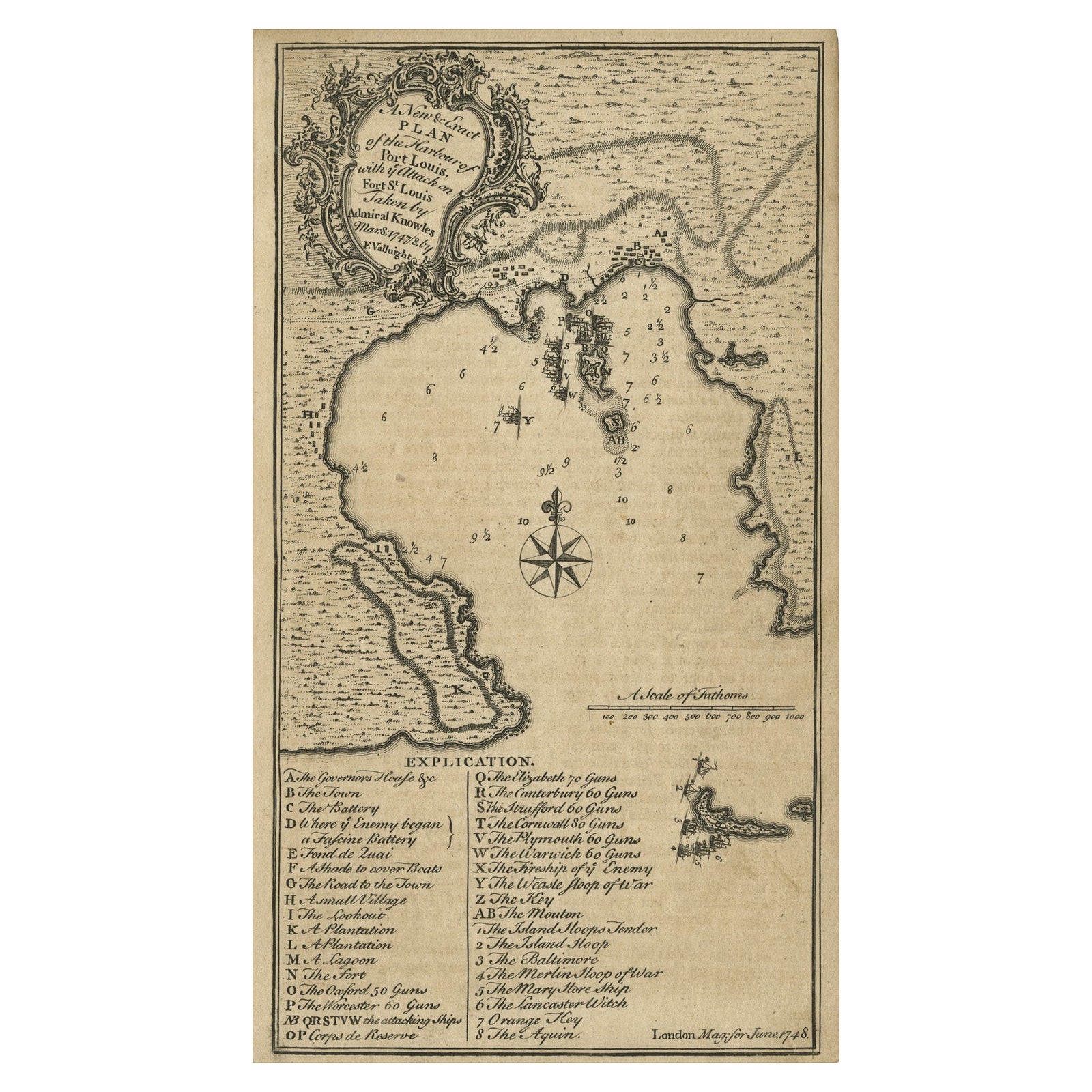
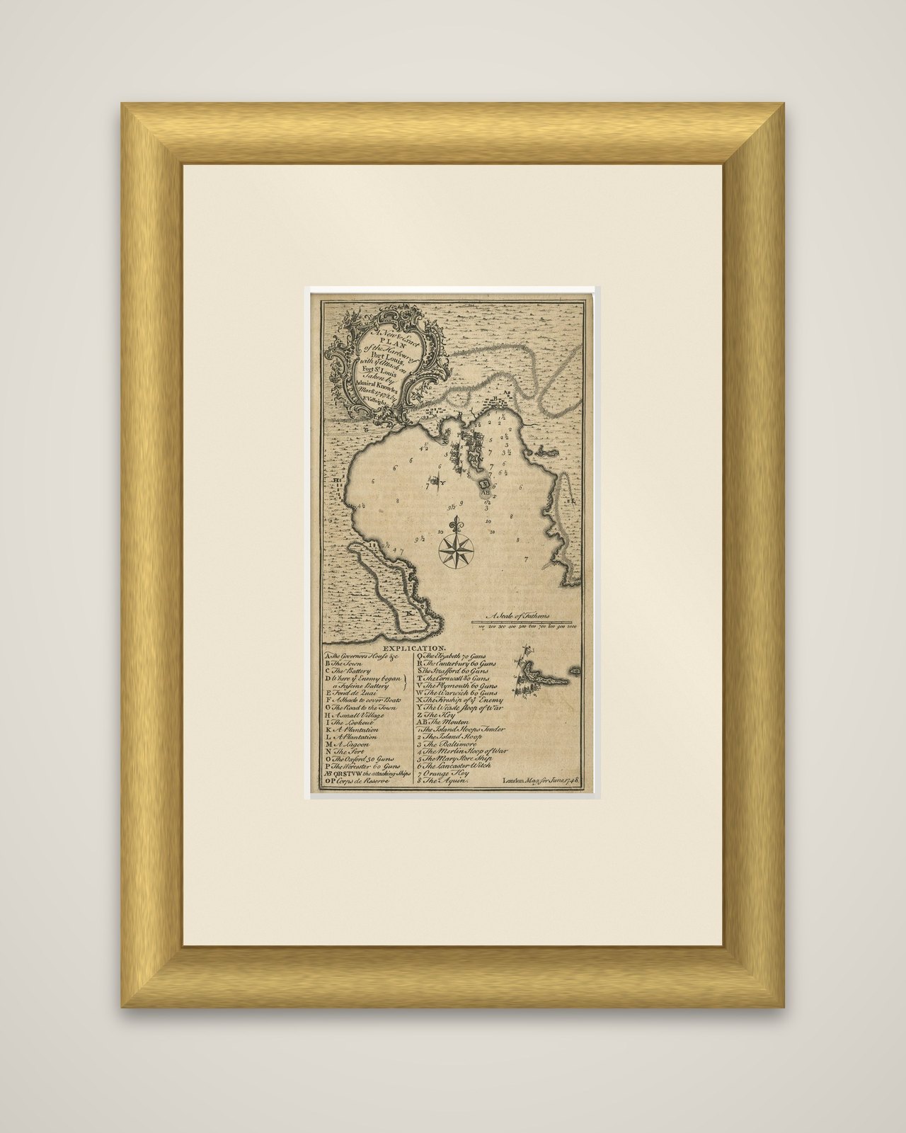
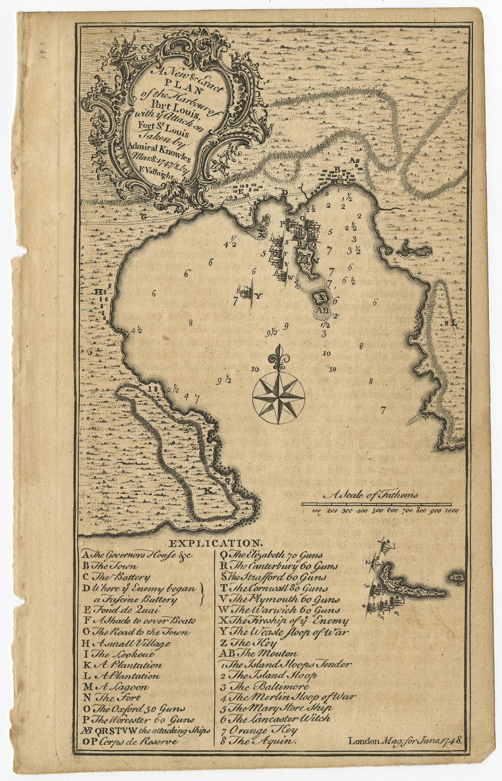
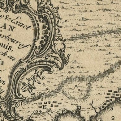
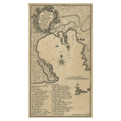
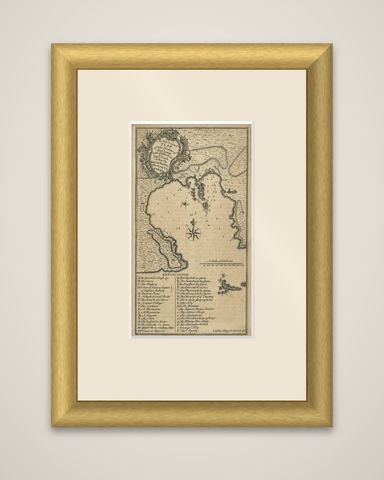
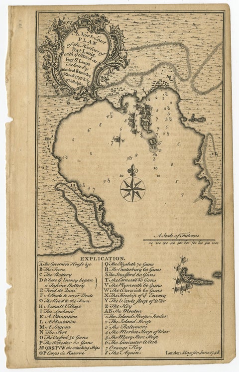
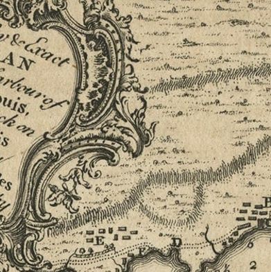
A New and Exact Plan of the Harbour of Port Louis, with the attack on Fort St. Louis taken by Admiral Knowles, March 8, 1747/8, an original antique plan engraved by F. Vallnight and issued in London in 1748. The title is set in a rococo cartouche at the upper left, and a note at the foot reads "London Mag. for June 1748."
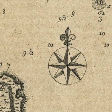
The plan shows the harbor of Saint-Louis on the south coast of Hispaniola, now Haiti, with the bay drawn in soundings, a compass rose and a scale of fathoms. The town and the fort lie on the shore at the head of the bay, and the British warships are lined up on the water in the attack, marked with letters. A lettered key titled "Explication" runs along the foot, listing the Governor's house, the town, the battery, a plantation, the fort and the ships by name and gun count, among them the Elizabeth of 70 guns, the Canterbury, Strafford and Worcester of 60 and the Cornwall of 80. A small coastal inset is placed at the lower right.
Charles Knowles (1704 to 1777) was an officer of the Royal Navy who served in the War of Jenkins' Ear, the War of the Austrian Succession and the Seven Years' War, and the capture of Fort Saint Louis was one of his actions in the Caribbean.