



A Bartele Gallery CollectionLangweer · Jakarta

American Maps & Prints
Original antique maps, charts & prints of the Americas ★ Originals only


Home › Canada & the North
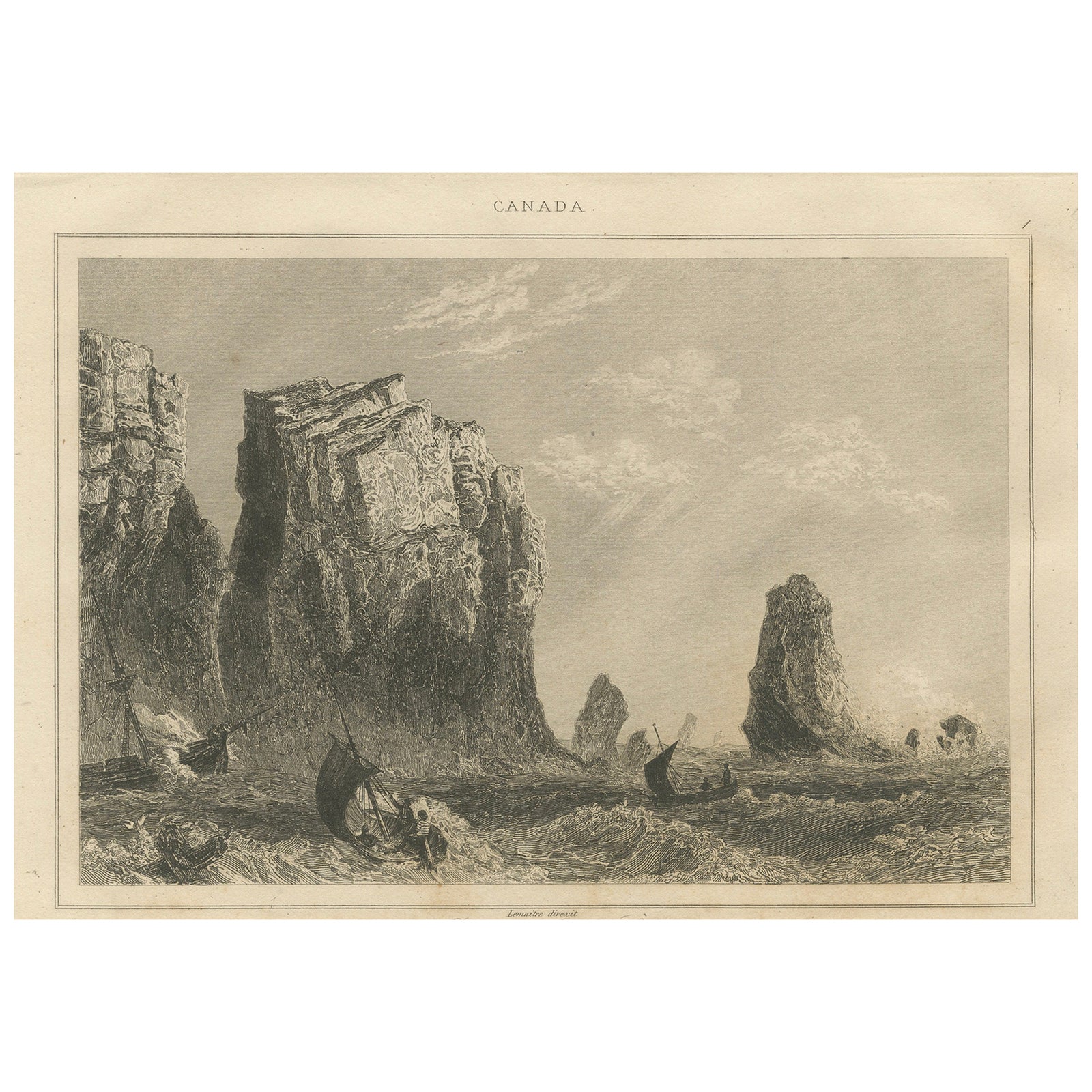
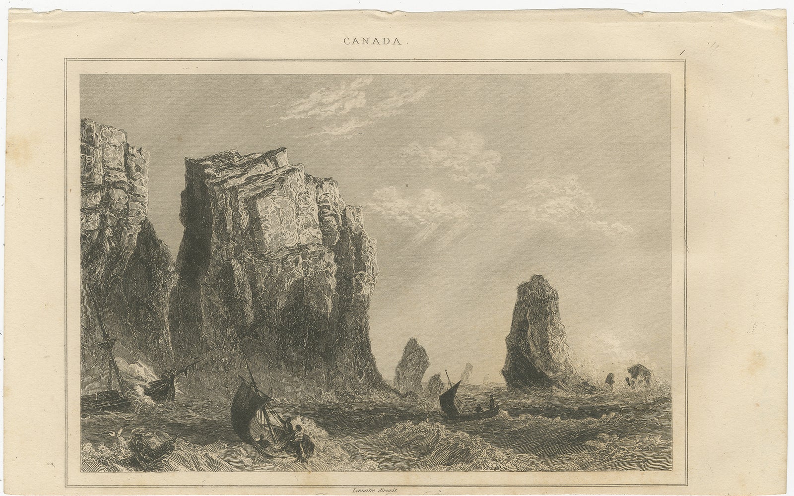
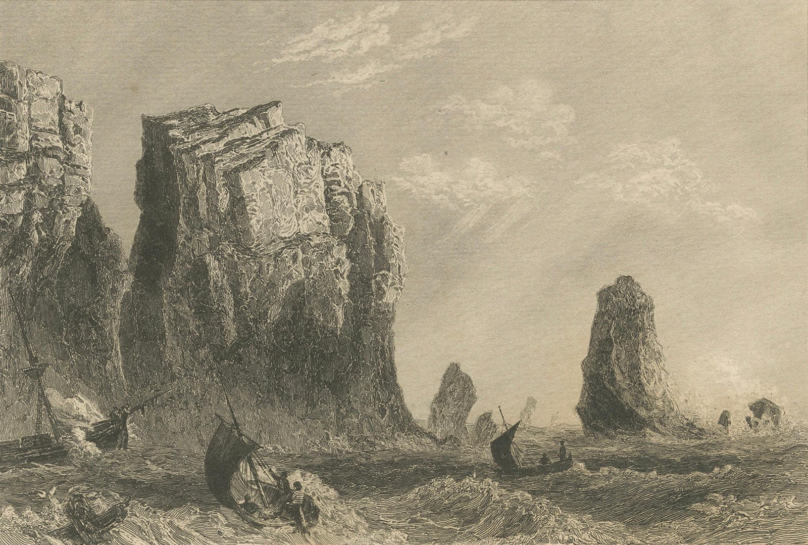
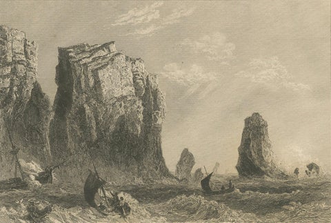
Rock Formations on the Canadian Coast – 19th Century Maritime Engraving
circa 1850 · Sea Charts

Rock Formations on the Canadian Coast – 19th Century Maritime Engraving

$125
€110 · dollar price at today's exchange rate

Buy now Ask a question

Shipping to the United States: $51 standard, $73 express, insured and tracked.

Date
circa 1850
Kind
Sea Charts
Size
12.5 × 20.5 cm (4.9 × 8.1 in)
Places
Canada
Reference
BG-05150-26
What the condition grades mean
Excellent
Bright and clean, with no faults worth mentioning.
Very good
Only light signs of age, such as faint toning.
Good
Normal signs of age for a sheet of this period: toning, some foxing, small marks or neat old repairs.
Fair
Clear faults such as staining, tears or repairs, priced to match.

Every fault we see is written in the condition note, and the whole sheet is shown uncropped in the photos.

Guaranteed original. This is an original of the period stated, not a later reproduction or print-on-demand copy. If it is ever shown to be otherwise, we refund you in full.
Shipping to the United States. Sent from our gallery in Langweer, the Netherlands, flat between boards or rolled in a tube, and fully insured. Delivery and import charges.
About this piece

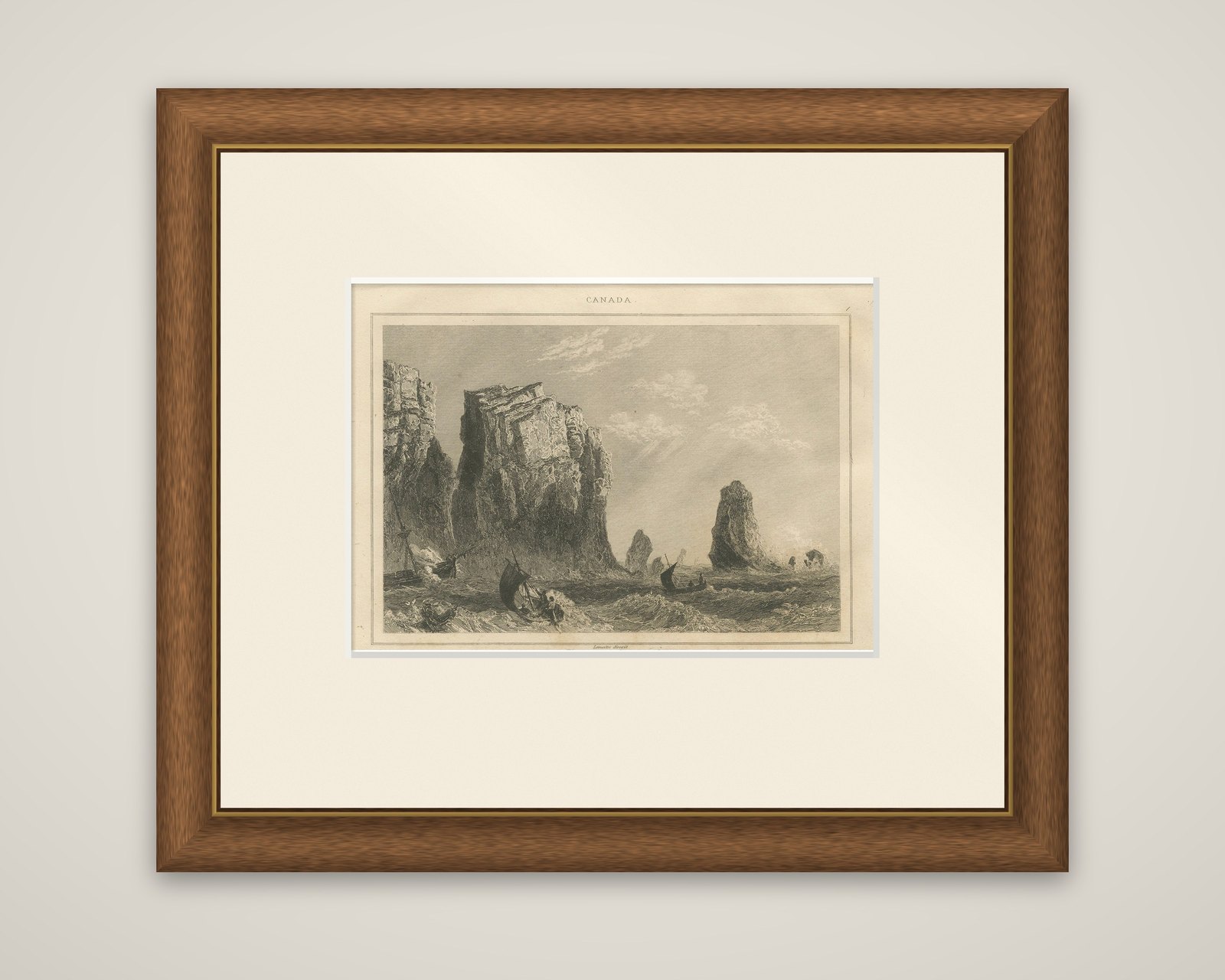
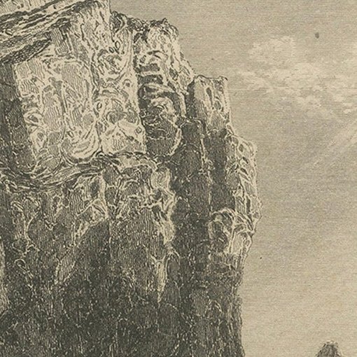
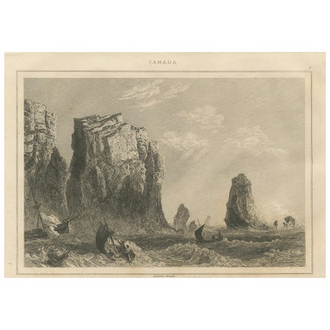
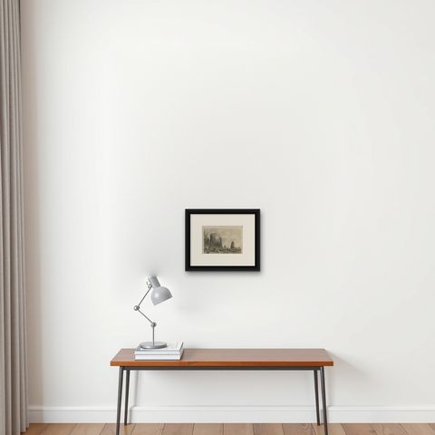
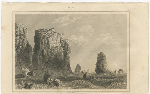
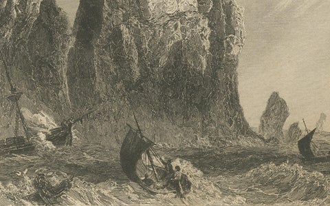
A rocky coast with boats in a rough sea, an original steel engraving by Lemaitre, headed "Canada," with the engraver's credit "Lemaitre direxit" printed below the plate. The plate carries no title and no place name. It was made in France around 1850.

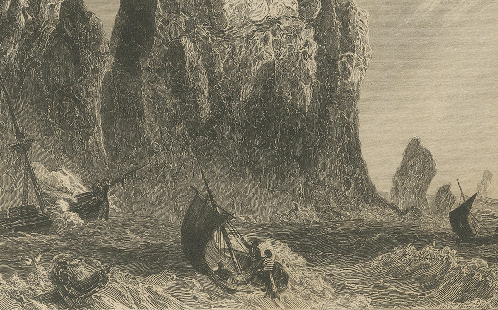
Tall cliffs of layered rock fill the left side of the picture, their flat-topped faces streaked with shadow, while a single slender stack stands out in the water at the right and smaller rocks break the surface in between. The sea is rough and shaded in short, choppy strokes, with spray breaking against the rocks at the right. Three small sailboats and rowboats work through the waves in the foreground, with a few men visible in them, and a wrecked ship with a leaning mast lies against the cliff base at the left. The sky is open, with thin high clouds.

The scene is one of a set of small Canadian plates made for a European audience. Because the plate gives no location, the place cannot be named from the sheet.

★

You might also like


Greenland & North America – Antique Sea Chart by Frederick de Wit, 1745
1745 · Frederick de Wit
$3,920
Antique Sea Chart of Hudson Bay and Arctic Canada by Van Keulen, circa 1681
1681 · Van Keulen
$5,315
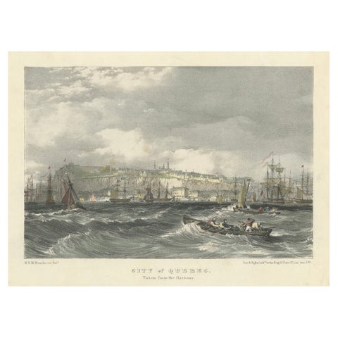
City of Quebec from the Harbour: A Vibrant 19th-Century Maritime Lithograph
$200
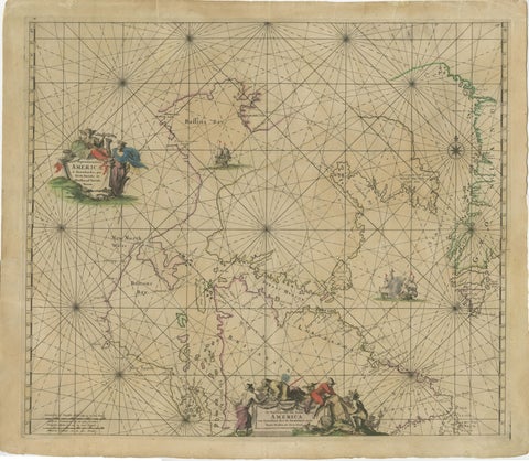
1690 Frederick de Wit Sea Chart of Hudson Bay, Baffin Bay and Greenland
1690 · Frederick de Wit
$1,500

Ask about this print

We reply by email, usually within one working day.

Your favorites

Saved in this browser. Email the list to yourself to keep it on any device.

We use your email to send this list and, only if you tick the box and confirm, for occasional new arrivals. Every email has an unsubscribe link. Bartele Gallery, the Netherlands.

Your bag

Total

Each piece is bought on its own; shipping is added at checkout.