

A Bartele Gallery CollectionLangweer · Jakarta

American Maps & Prints
Original antique maps, charts & prints of the Americas ★ Originals only


Home › Canada & the North
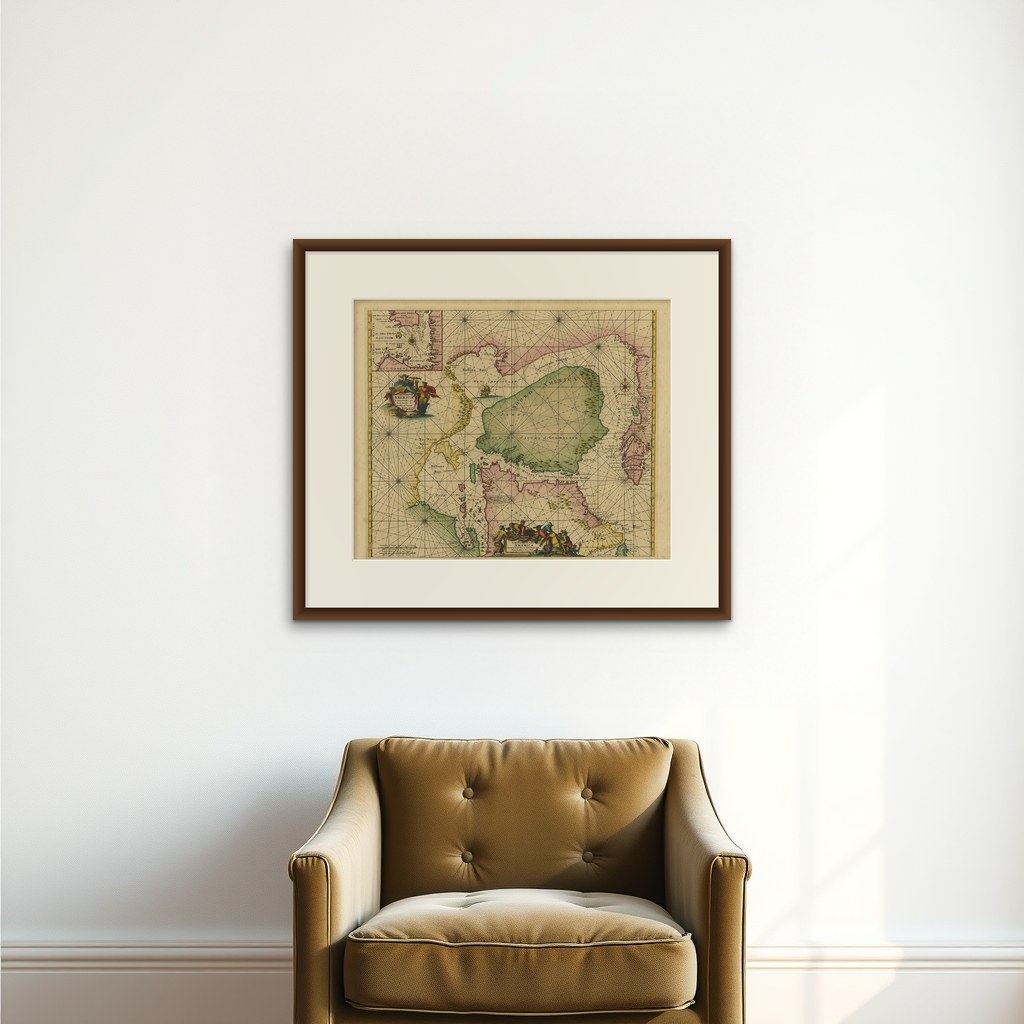
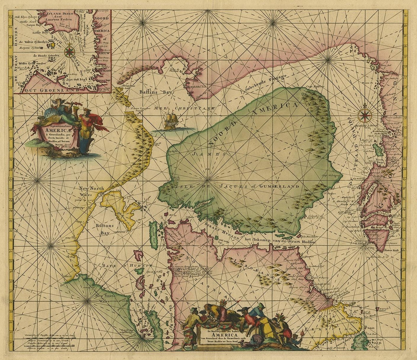
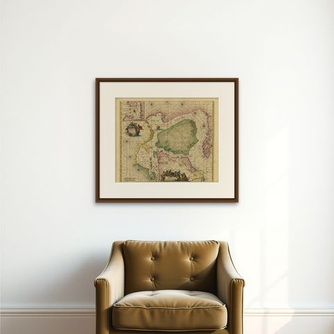
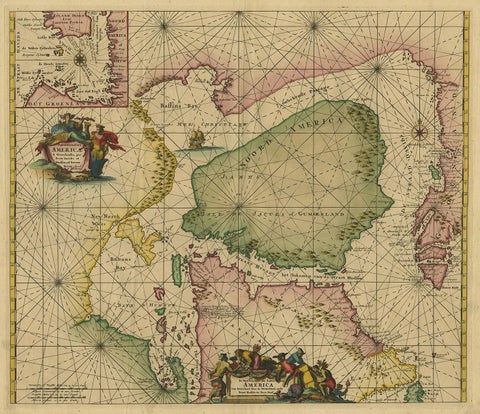
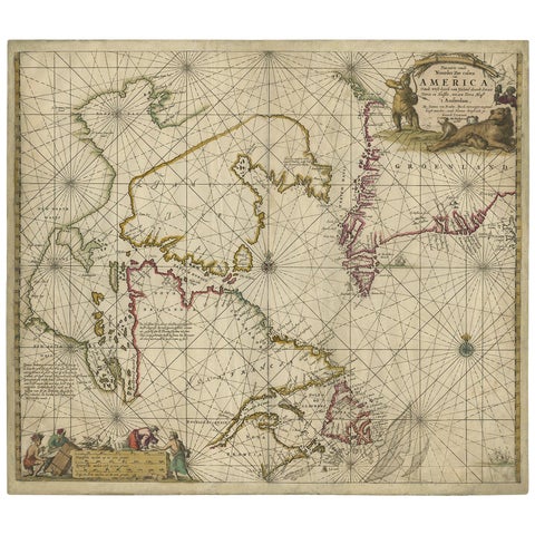
Greenland & North America – Antique Sea Chart by Frederick de Wit, 1745
1745 · Sea Charts

Greenland & North America – Antique Sea Chart by Frederick de Wit, 1745

$3,920
€3,500 · dollar price at today's exchange rate

Buy now Ask a question

Shipping to the United States: $51 standard, $73 express, insured and tracked.

Date
1745
Maker
Frederick de Wit
Kind
Sea Charts
Technique
Engraved
Size
54.5 × 66 cm (21.5 × 26 in)
Condition
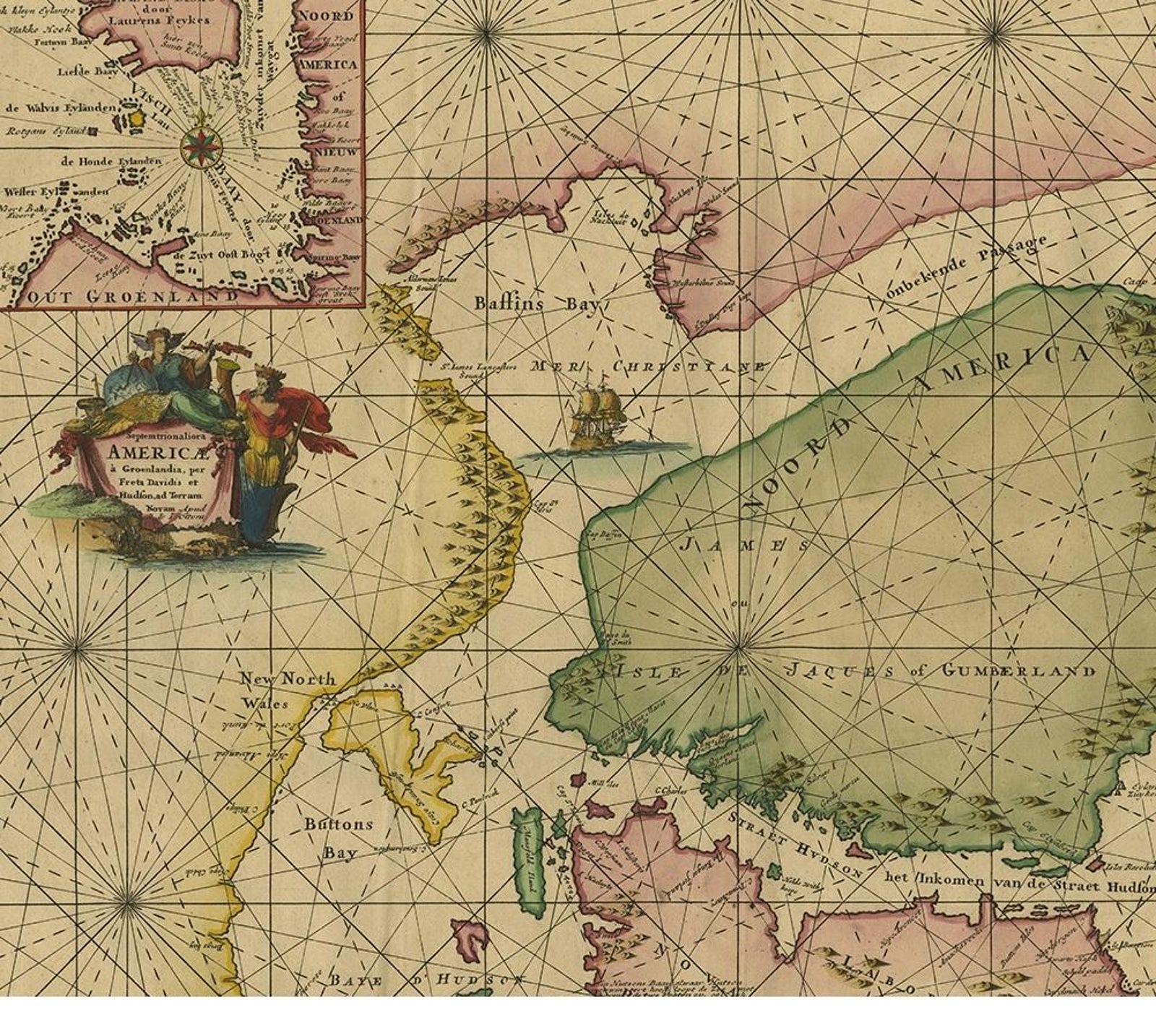
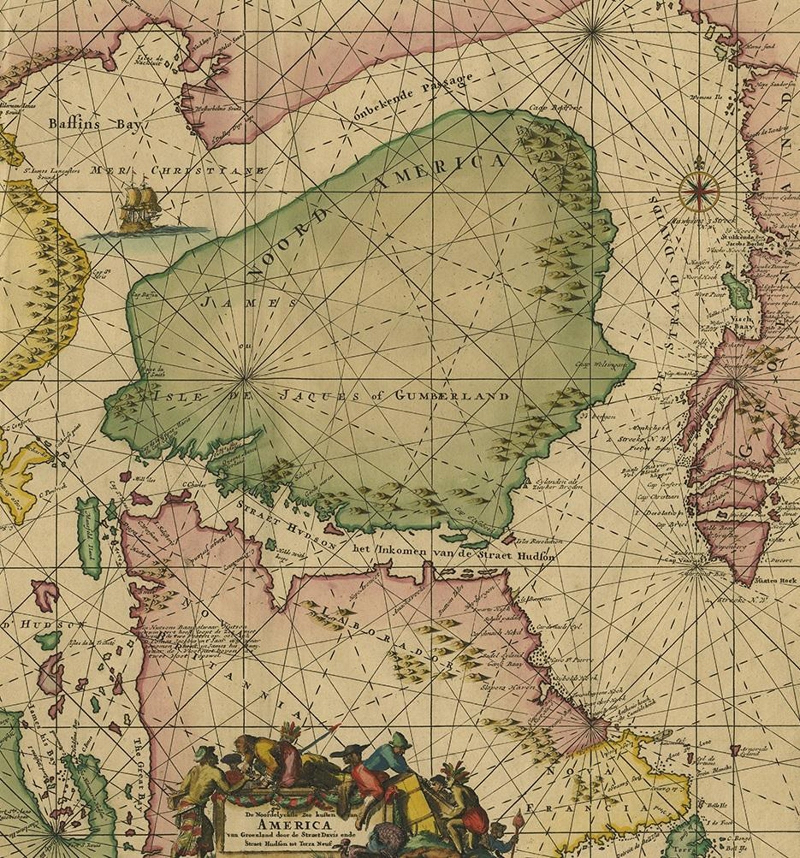
Good. Beautiful original/contemporary hand coloring. Original folding line. Minor wear and toning. Small hole outside image. Please study images carefully.
Period
Colonial America
Places
Canada
Reference
PCT-59809
What the condition grades mean
Excellent
Bright and clean, with no faults worth mentioning.
Very good
Only light signs of age, such as faint toning.
Good
Normal signs of age for a sheet of this period: toning, some foxing, small marks or neat old repairs.
Fair
Clear faults such as staining, tears or repairs, priced to match.

Every fault we see is written in the condition note, and the whole sheet is shown uncropped in the photos.

Guaranteed original. This is an original of the period stated, not a later reproduction or print-on-demand copy. If it is ever shown to be otherwise, we refund you in full.
Shipping to the United States. Sent from our gallery in Langweer, the Netherlands, flat between boards or rolled in a tube, and fully insured. Delivery and import charges.
About this piece

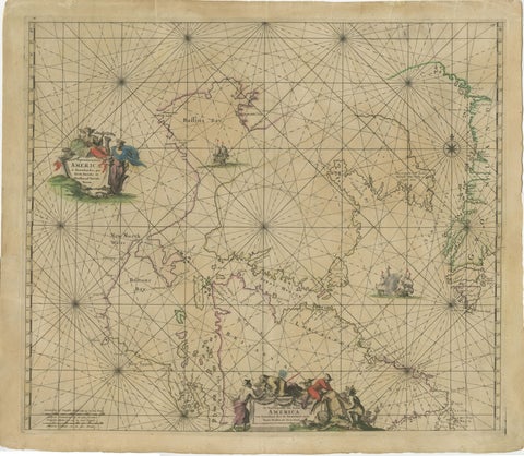
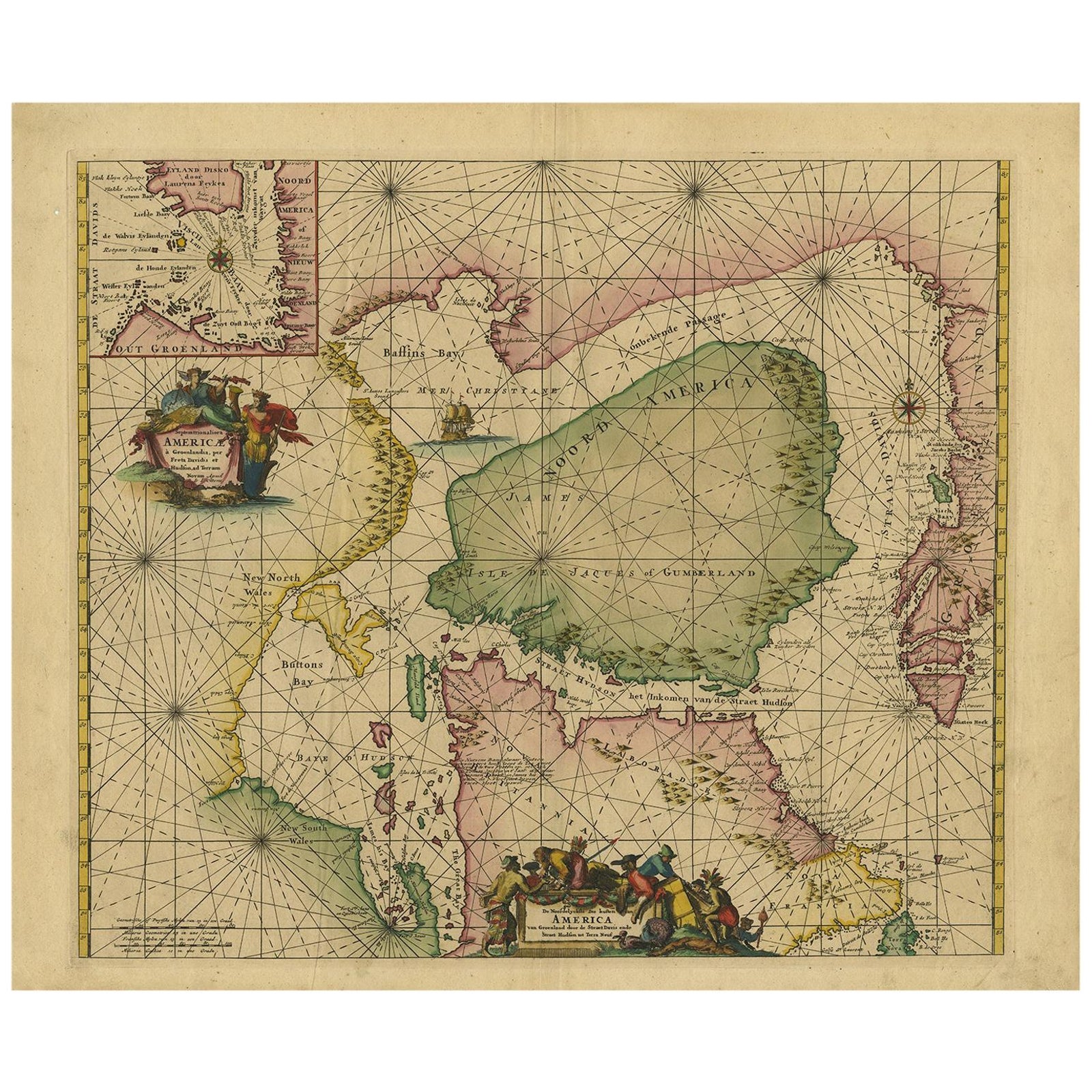
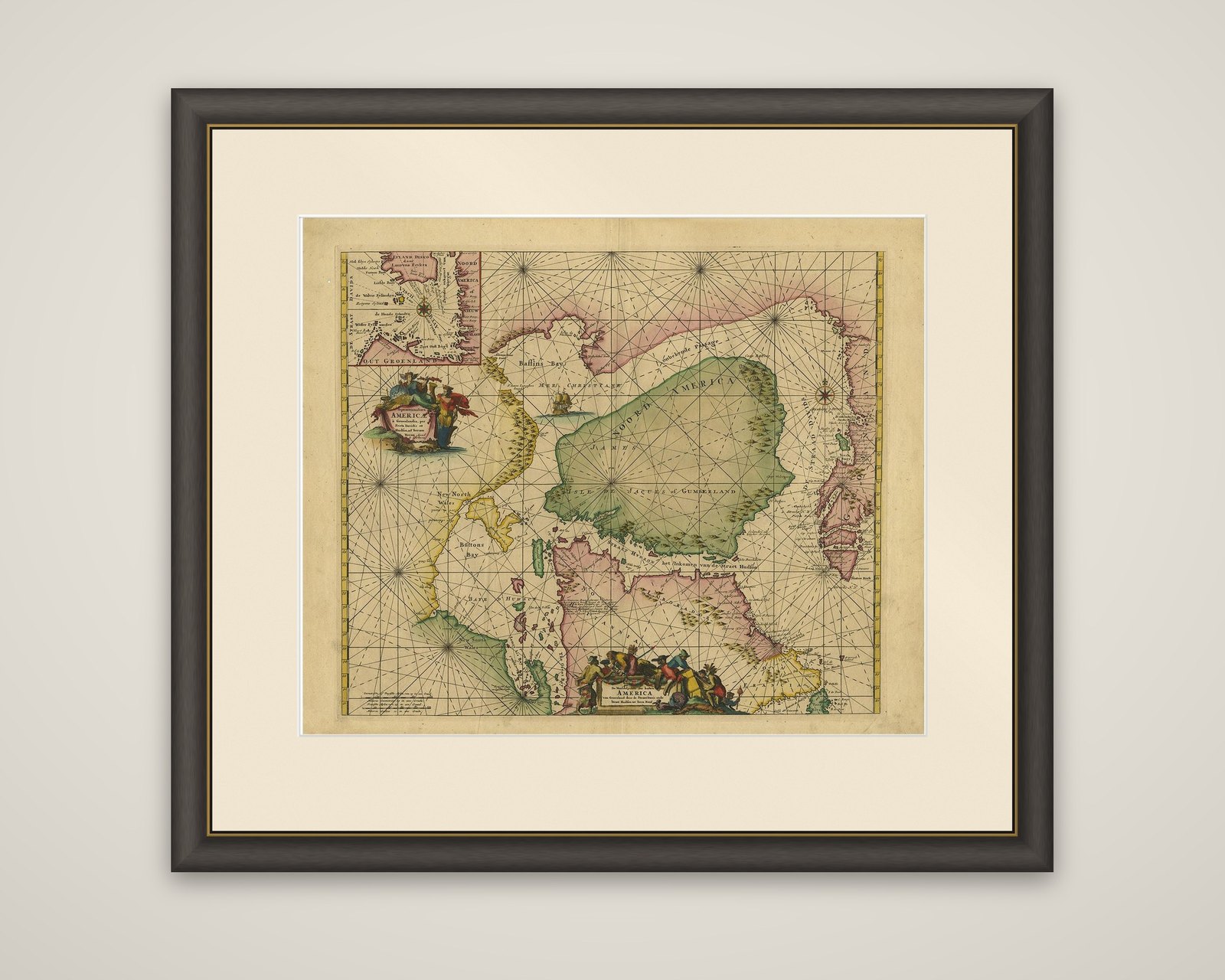
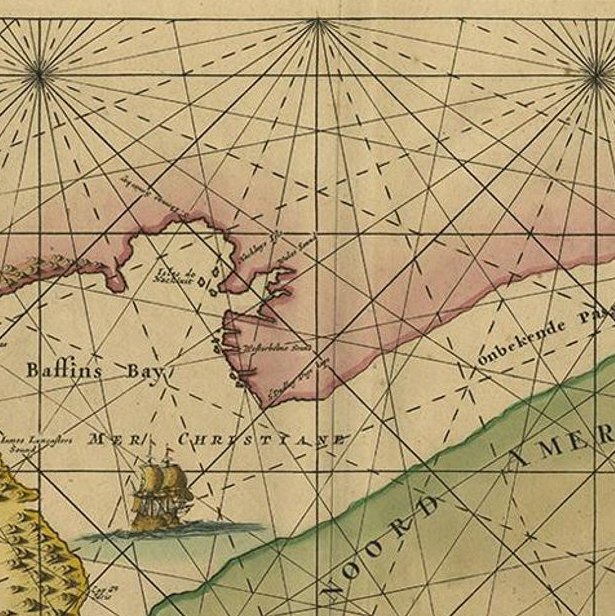
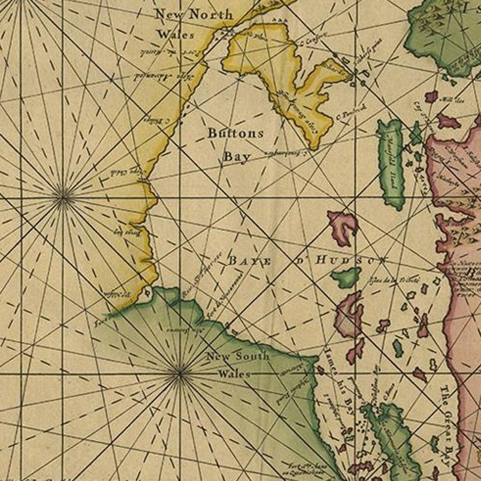
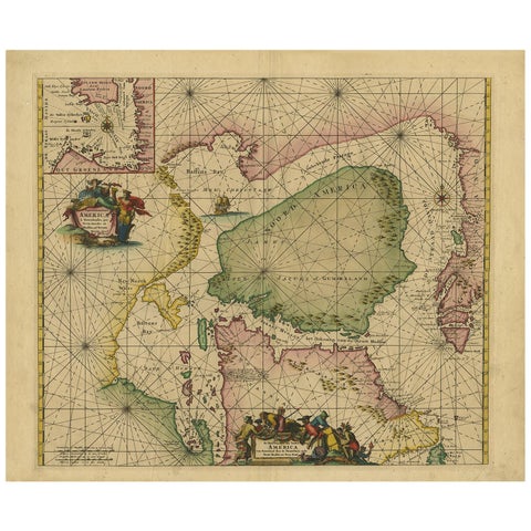
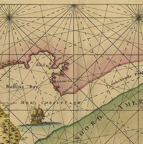
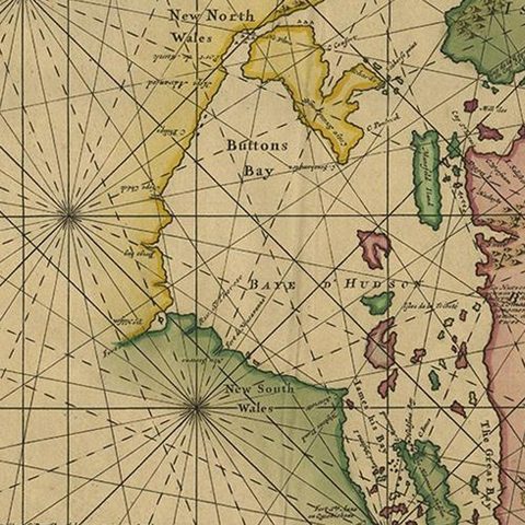
A sea chart of the northern waters of North America, titled "Septemtrionaliora Americae a Groenlandia," engraved by Frederick de Wit for his atlas of 1675 and revised for the 1745 edition of Otten's Sea Atlas (Atlas van de Zeevaart). The chart is an engraving with hand coloring, drawn with compass roses and crossing rhumb lines over the sea.

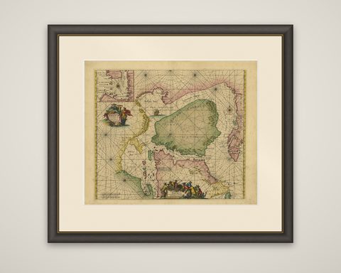
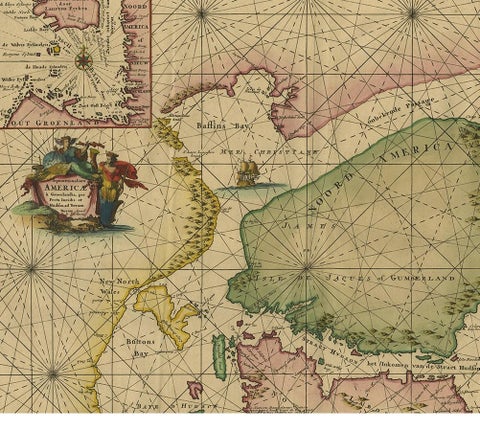
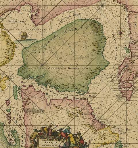
The chart covers Labrador and part of Newfoundland, the west coast of Greenland, Davis Strait, and, by a non-existent passage, Baffin Bay and, through Hudson Strait, Hudson Bay. Hudson Bay is shown as a large green gulf with the name of James, and the coasts of "New North Wales," "Button's Bay" and "Nova Britannia" are lettered along the western shore. An allegorical cartouche with the title and figures stands at the center left, and a small ship sails in Baffin Bay. A separate inset at the upper left gives a more detailed chart of the fishing grounds at Disko Bay on the Greenland coast, with soundings and place names.

The chart reflects the Dutch interest in the northern whaling and fishing grounds and in the search for a Northwest Passage.

★

You might also like


Antique Sea Chart of Hudson Bay and Arctic Canada by Van Keulen, circa 1681
1681 · Van Keulen
$5,315
City of Quebec from the Harbour: A Vibrant 19th-Century Maritime Lithograph
$200
Rock Formations on the Canadian Coast – 19th Century Maritime Engraving
circa 1850
$125
1690 Frederick de Wit Sea Chart of Hudson Bay, Baffin Bay and Greenland
1690 · Frederick de Wit
$1,500

Ask about this print

We reply by email, usually within one working day.

Your favorites

Saved in this browser. Email the list to yourself to keep it on any device.

We use your email to send this list and, only if you tick the box and confirm, for occasional new arrivals. Every email has an unsubscribe link. Bartele Gallery, the Netherlands.

Your bag

Total

Each piece is bought on its own; shipping is added at checkout.