Original antique
Sea Charts
★ 11 original pieces ★
Charts made for navigation: coasts, harbors, soundings and sailing directions, from the Dutch and French hydrographers to the English chart sellers.
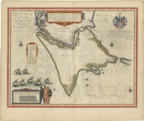
Blaeu Strait of Magellan Map – Tierra del Fuego, Decorative Sea Chart, 1642
1642 · Blaeu
$7,555
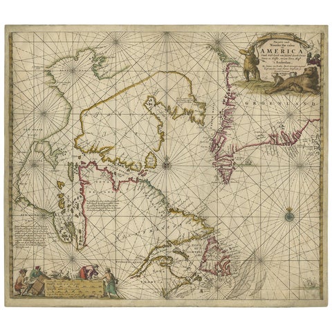
Antique Sea Chart of Hudson Bay and Arctic Canada by Van Keulen, circa 1681
1681 · Van Keulen
$5,315
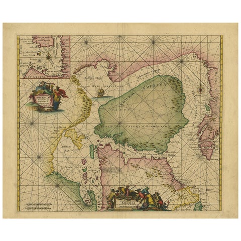
Greenland & North America – Antique Sea Chart by Frederick de Wit, 1745
1745 · Frederick de Wit
$3,920
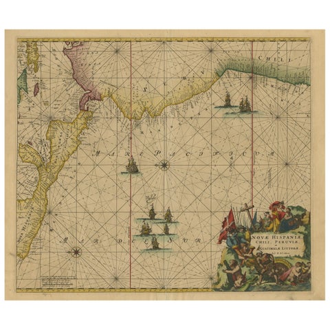
Sea Chart of Central America and the Northwest Coast of South America, ca.1745
1745 · Frederick de Wit
$2,740
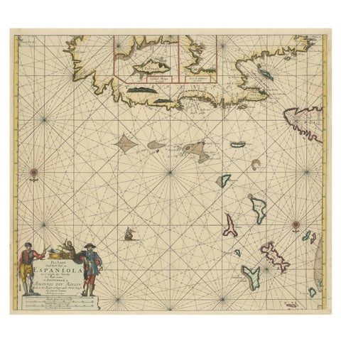
Original Antique Sea Chart - the Northern Part of Hispaniola, Western Cuba, 1684
1684 · Van Keulen
$2,125
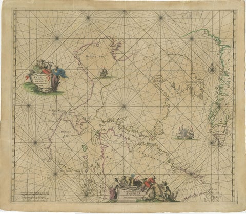
1690 Frederick de Wit Sea Chart of Hudson Bay, Baffin Bay and Greenland
1690 · Frederick de Wit
$1,500
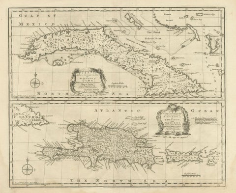
Antique Map of Cuba & Hispaniola, Caribbean Sea Chart by Bowen, 1744
1744 · Emanuel Bowen
$985
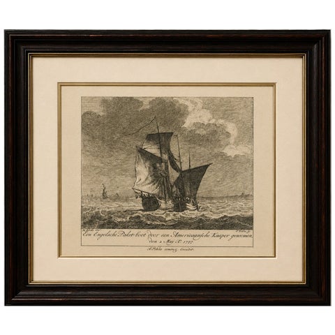
American Privateer Captures an English Packet Boat, 1777 Maritime Engraving
1777
$370
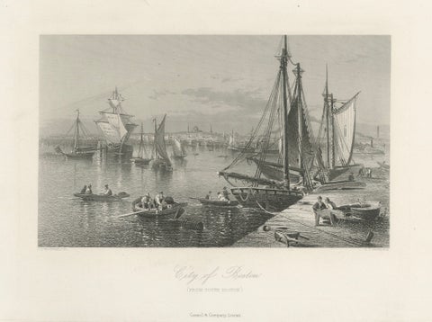
City of Boston, Harbor View from South Boston – Antique Maritime Engraving, 1870
1870
$325
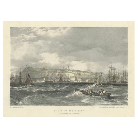
City of Quebec from the Harbour: A Vibrant 19th-Century Maritime Lithograph
$200
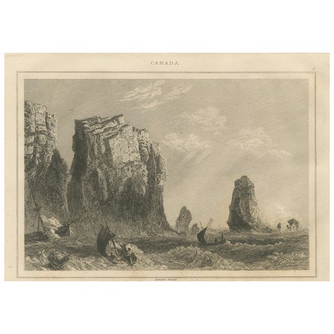
Rock Formations on the Canadian Coast – 19th Century Maritime Engraving
circa 1850
$125