1862 · Maps
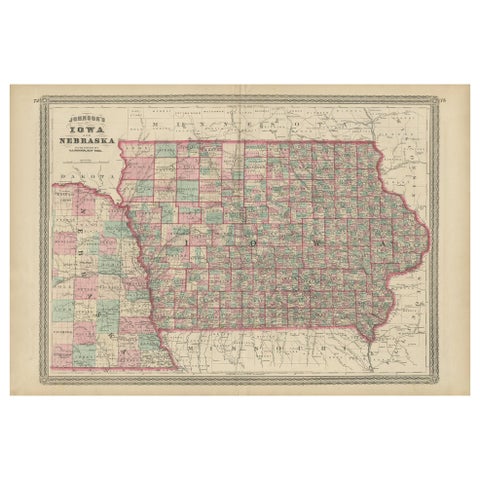
Vintage 1862 Map of Iowa and Nebraska – Decorative Atlas Print
$660
€590 · dollar price at today's exchange rate
Buy now Ask a question
Shipping to the United States: $51 standard, $73 express, insured and tracked.
- Date
- 1862
- Kind
- Maps
- Size
- 46 × 67 cm (18.1 × 26.4 in)
- Period
- Westward Expansion & Civil War
- Places
- Iowa, Nebraska
- Reference
- BG-13952-12
What the condition grades mean
- Excellent
- Bright and clean, with no faults worth mentioning.
- Very good
- Only light signs of age, such as faint toning.
- Good
- Normal signs of age for a sheet of this period: toning, some foxing, small marks or neat old repairs.
- Fair
- Clear faults such as staining, tears or repairs, priced to match.
Every fault we see is written in the condition note, and the whole sheet is shown uncropped in the photos.
Guaranteed original. This is an original of the period stated, not a later reproduction or print-on-demand copy. If it is ever shown to be otherwise, we refund you in full.
Shipping to the United States. Sent from our gallery in Langweer, the Netherlands, flat between boards or rolled in a tube, and fully insured.
Delivery and import charges.
About this piece
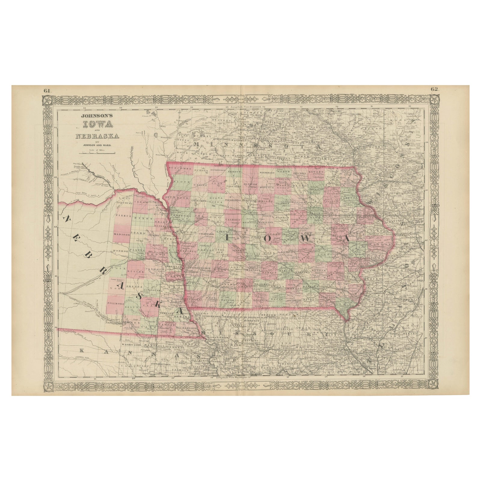
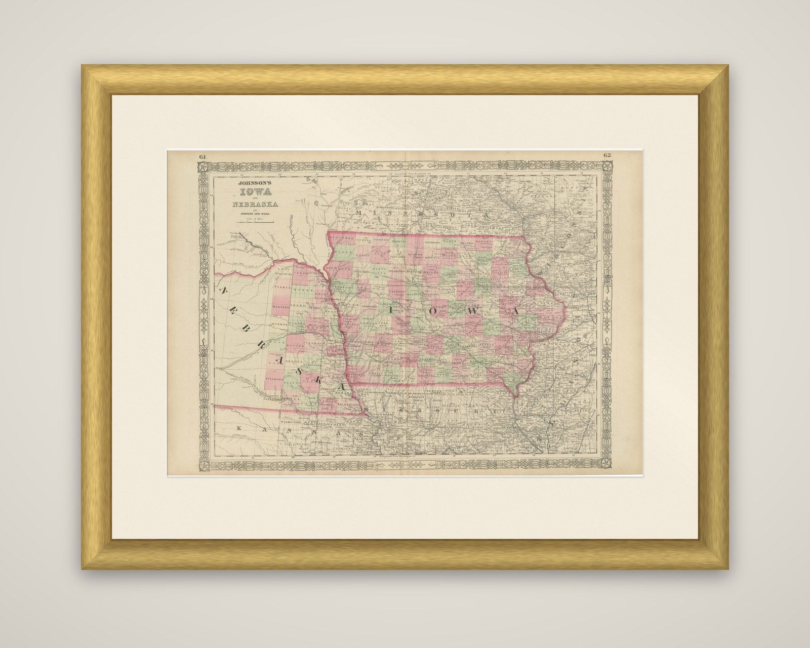
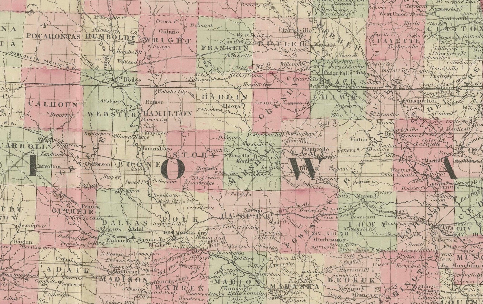
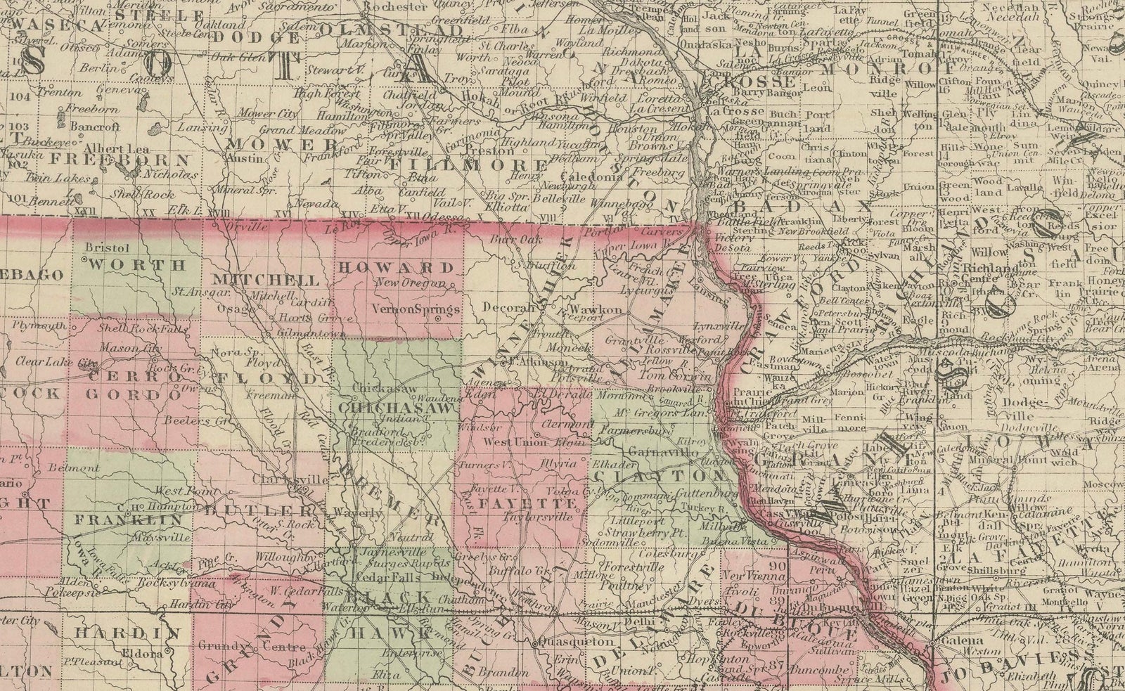
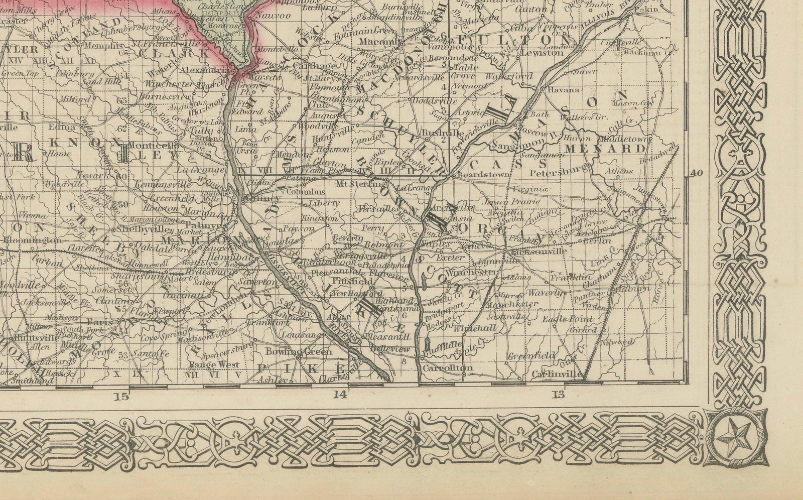
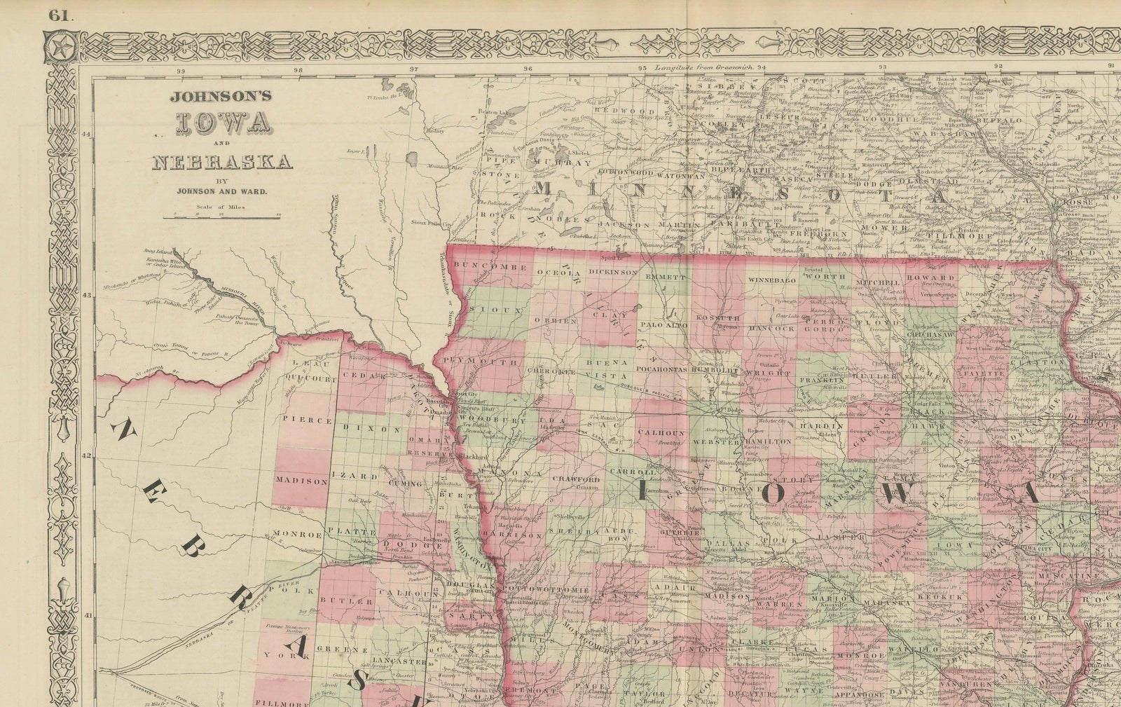
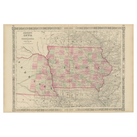
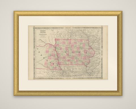
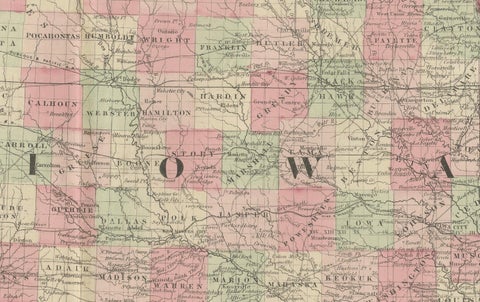
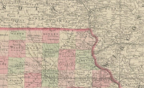
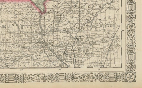
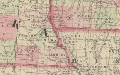
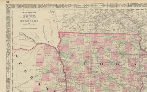
Iowa and Nebraska in 1862, an original atlas map with hand-colored counties, titled "Johnson's Iowa and Nebraska, by Johnson and Ward." It comes from Johnson's New Illustrated Family Atlas, and is set within the characteristic ornamental border of interlocked scrollwork. The page numbers 61 and 62 are printed in the upper corners.
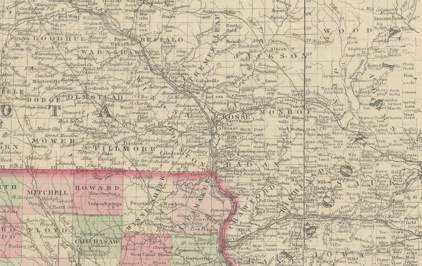
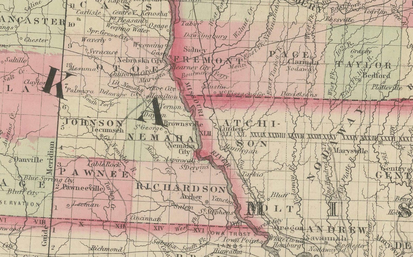
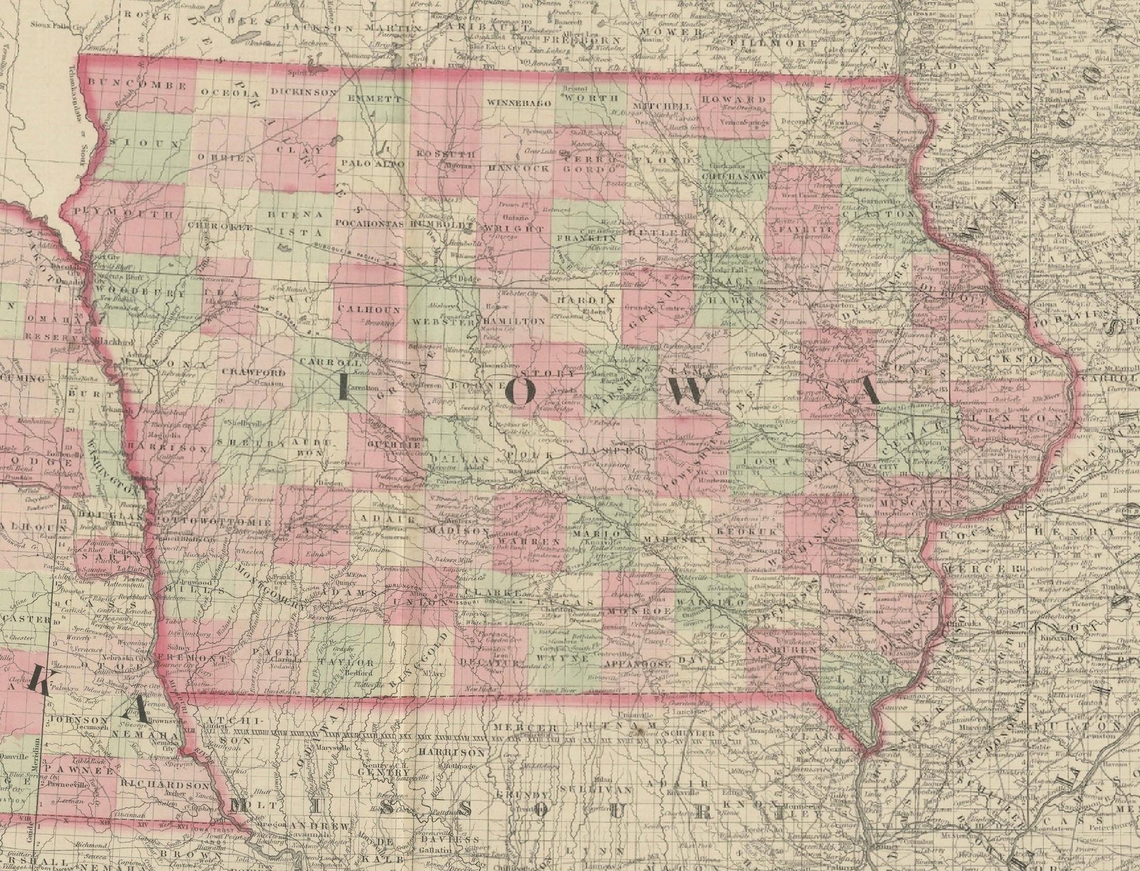
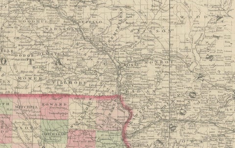
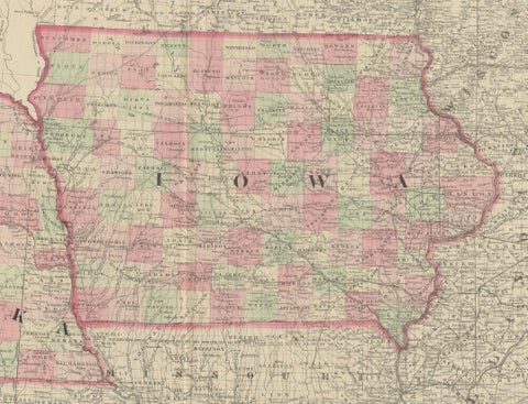
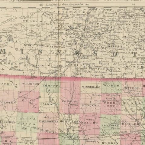
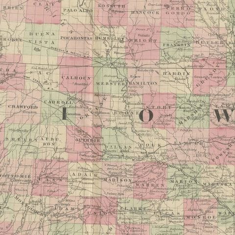
Iowa fills the center of the sheet, fully divided into counties tinted pink, green and yellow, with rivers, roads and railroads laid across them and the state boundary outlined in red. The Mississippi forms its eastern edge and the Missouri its western edge. Nebraska lies to the west, still a territory in 1862, with its few counties clustered along the Missouri and the broad unorganized west left almost blank except for the course of the Platte and its tributaries. Minnesota is shown at the top, Missouri below, and Kansas at the lower left, with the state names lettered across each. Des Moines, Iowa City and Davenport appear among the towns of Iowa.
Nebraska did not become a state until 1867, so the sheet shows the region at a moment of fast settlement, with Iowa already well organized and Nebraska still being laid out.