Original antique maps & prints of
Nebraska
★ 6 original pieces ★
Organised as a territory in 1854, Nebraska became a state in 1867, as the transcontinental railroad crossed it. We currently hold 6 original sheets of Nebraska, published between 1862 and 1899. The earliest is Vintage 1862 Map of Iowa and Nebraska – Decorative Atlas Print.
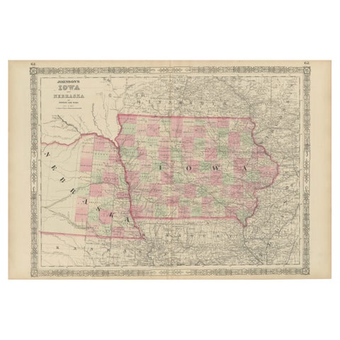
Vintage 1862 Map of Iowa and Nebraska – Decorative Atlas Print
1862
$660
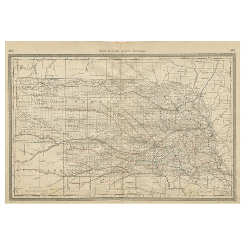
Nebraska Railroad Map 1888 – Rand McNally Antique Lithograph
1888 · Rand McNally
$535
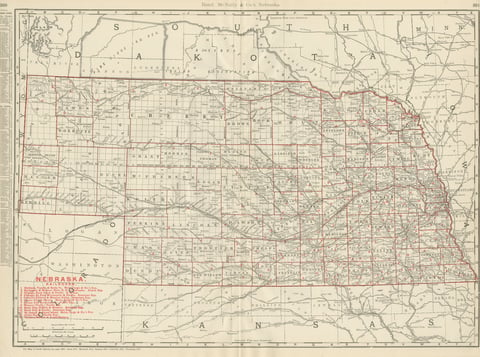
Antique Map of Nebraska, The Cornhusker State, Rand McNally, 1899
1899 · Rand McNally
$440
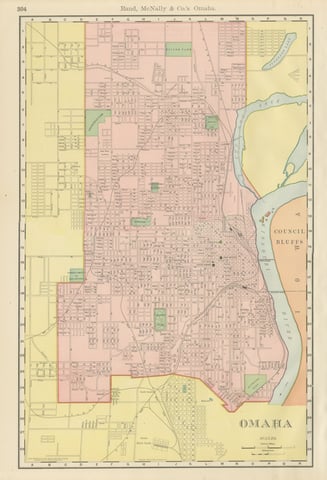
Antique Map of Omaha, with Union Stock Yards, Rand McNally, 1899
1899 · Rand McNally
$330
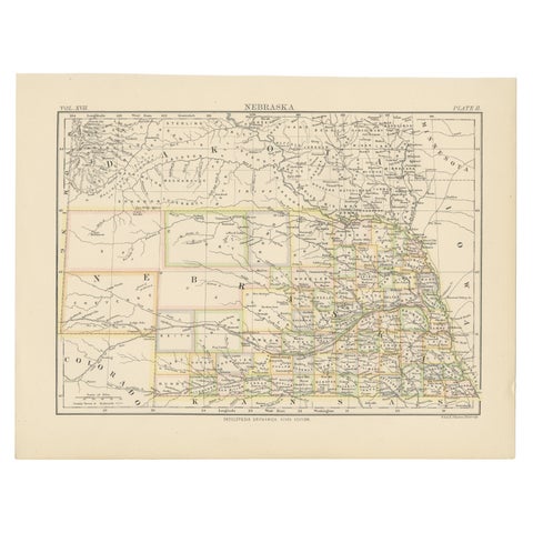
Antique Map of Nebraska
1884
$325
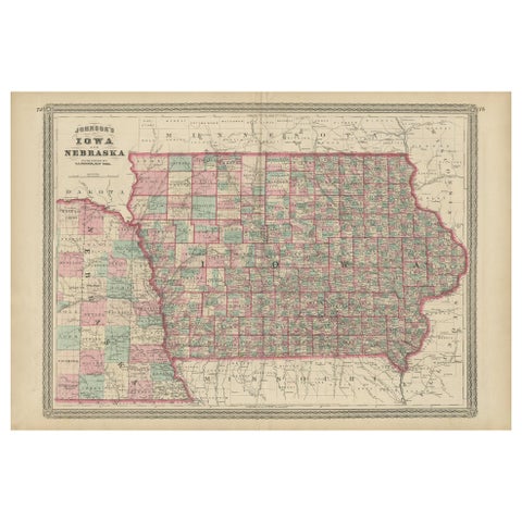
Antique Map of Iowa and Nebraska by Johnson, '1872'
1872 · A. J. Johnson
$280
★
More of The Great Plains