Original antique maps & prints of
Washington
★ 3 original pieces ★
Washington Territory was organized in 1853, and Washington became a state in 1889. We currently hold 3 original sheets of Washington, published between 1850 and 1899. Of these, 3 are maps and 2 are views and prints. The earliest is Fort Vancouver, Washington Territory, U.S. Railroad Survey View – ca.1850.
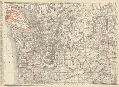
Antique Map of Washington State, The Evergreen State, Rand McNally, 1899
1899 · Rand McNally
$440
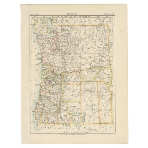
Antique Map of Oregon
1884
$325
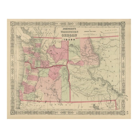
Washington Oregon Idaho Map – Johnson, Hand-Colored, c.1864
1864
$245
★
More of The Pacific Coast