Original antique maps & prints of
Canada & the North
★ 5 original pieces ★
New France, Acadia, Hudson's Bay and the British North American provinces: original maps and views of Canada and the Arctic, from the French and Dutch mapmakers to the Victorian atlases.
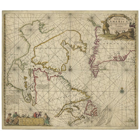
Antique Sea Chart of Hudson Bay and Arctic Canada by Van Keulen, circa 1681
1681 · Van Keulen
$5,315
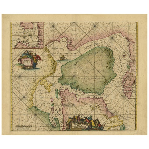
Greenland & North America – Antique Sea Chart by Frederick de Wit, 1745
1745 · Frederick de Wit
$3,920
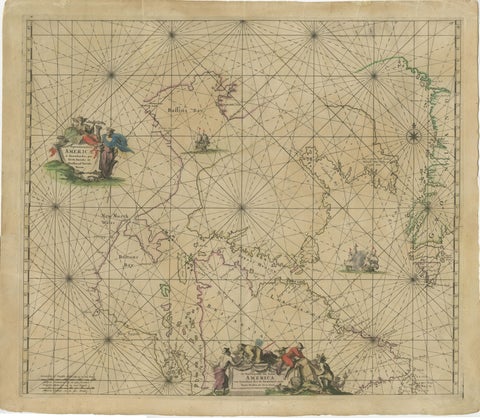
1690 Frederick de Wit Sea Chart of Hudson Bay, Baffin Bay and Greenland
1690 · Frederick de Wit
$1,500
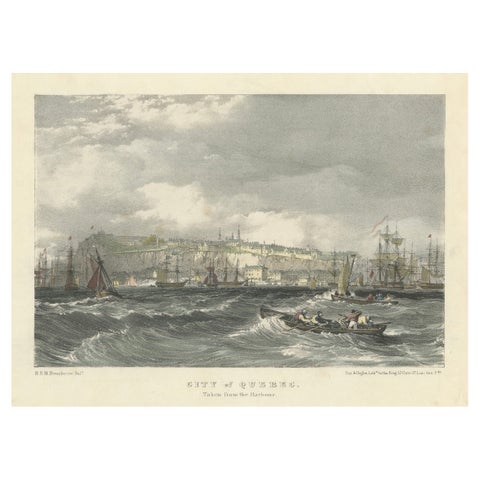
City of Quebec from the Harbour: A Vibrant 19th-Century Maritime Lithograph
$200
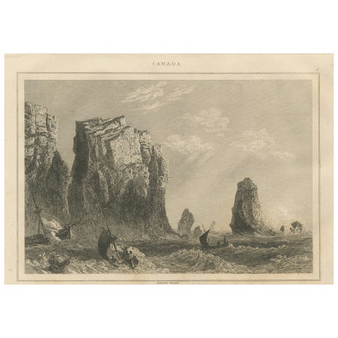
Rock Formations on the Canadian Coast – 19th Century Maritime Engraving
circa 1850
$125