A Bartele Gallery CollectionLangweer · Jakarta

American Maps & Prints
Original antique maps, charts & prints of the Americas ★ Originals only


Home › Canada & the North
Original antique maps & prints of

Canada

★ 5 original pieces ★
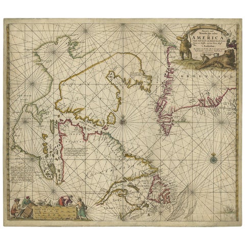
Antique Sea Chart of Hudson Bay and Arctic Canada by Van Keulen, circa 1681
1681 · Van Keulen
$5,315
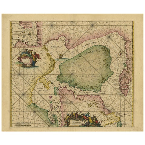
Greenland & North America – Antique Sea Chart by Frederick de Wit, 1745
1745 · Frederick de Wit
$3,920
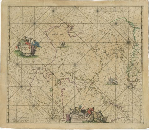
1690 Frederick de Wit Sea Chart of Hudson Bay, Baffin Bay and Greenland
1690 · Frederick de Wit
$1,500
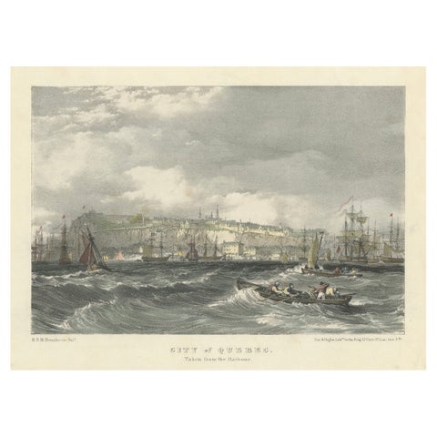
City of Quebec from the Harbour: A Vibrant 19th-Century Maritime Lithograph
$200
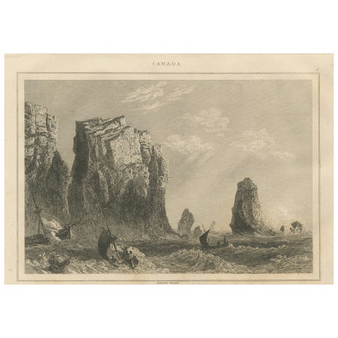
Rock Formations on the Canadian Coast – 19th Century Maritime Engraving
circa 1850
$125

Your favorites

Saved in this browser. Email the list to yourself to keep it on any device.

We use your email to send this list and, only if you tick the box and confirm, for occasional new arrivals. Every email has an unsubscribe link. Bartele Gallery, the Netherlands.

Your bag

Total

Each piece is bought on its own; shipping is added at checkout.