Antique maps & prints of the Americas
The Gilded Age
★ 257 original pieces ★
The great commercial atlases of Rand McNally, Cram and Johnson recorded a country covered in railroads. Territories in the West appear as states one after another.
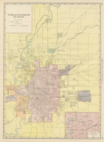
Antique Map of Indianapolis, The Circle City, Rand McNally, 1899
1899 · Rand McNally
$385
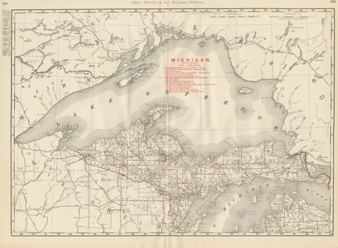
Antique Map of Northern Michigan and Lake Superior, Copper Country, 1899
1899 · Rand McNally
$385
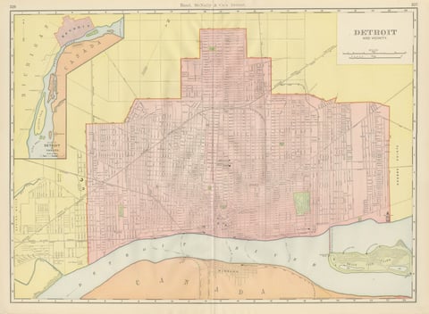
Antique Map of Detroit, with Belle Isle Park, Rand McNally, 1899
1899 · Rand McNally
$385
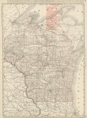
Antique Map of Wisconsin, The Badger State, Rand McNally, 1899
1899 · Rand McNally
$385
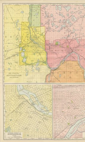
Antique Map of St. Paul and Minneapolis, The Twin Cities, Rand McNally, 1899
1899 · Rand McNally
$385
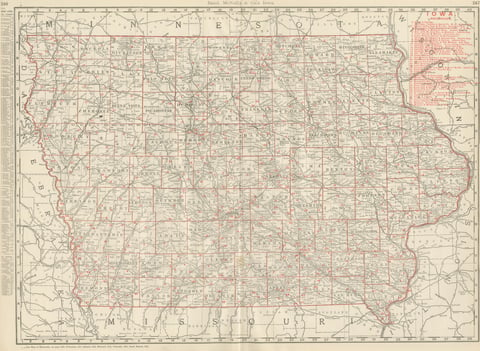
Antique Map of Iowa, The Hawkeye State, Rand McNally, 1899
1899 · Rand McNally
$385
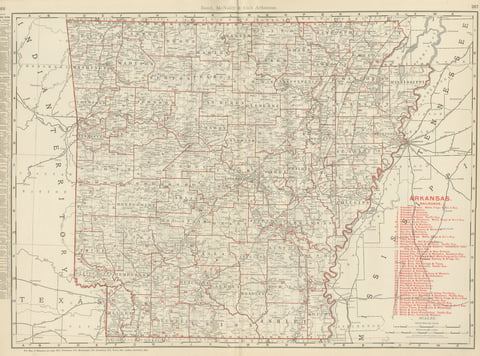
Antique Map of Arkansas, with Hot Springs, Rand McNally, 1899
1899 · Rand McNally
$385
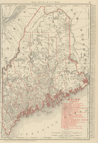
Antique Map of Maine, The Pine Tree State, Rand McNally, 1899
1899 · Rand McNally
$385
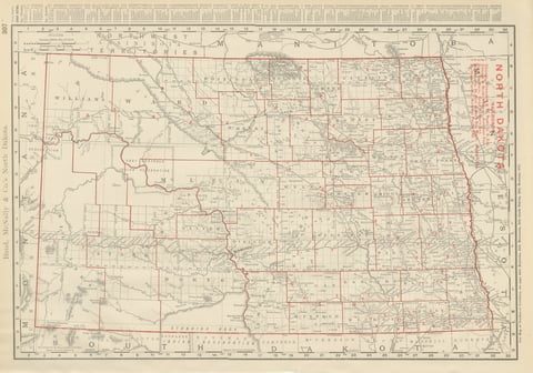
Antique Map of North Dakota, with Fort Berthold Reservation, Rand McNally, 1899
1899 · Rand McNally
$385
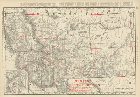
Antique Map of Montana, The Treasure State, Rand McNally, 1899
1899 · Rand McNally
$385
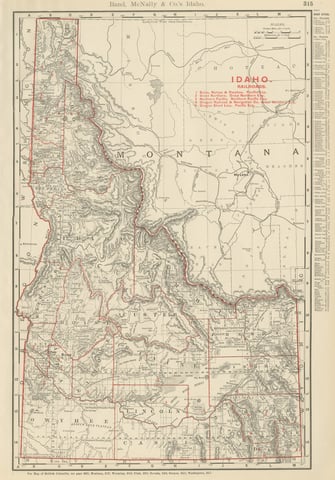
Antique Map of Idaho, The Gem State, Rand McNally, 1899
1899 · Rand McNally
$385
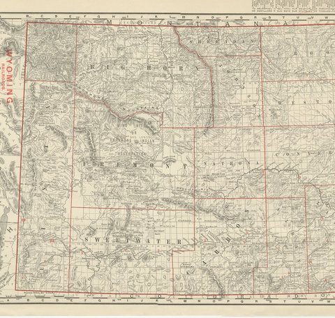
Antique Map of Wyoming, The Cowboy State, Rand McNally, 1899
1899 · Rand McNally
$385
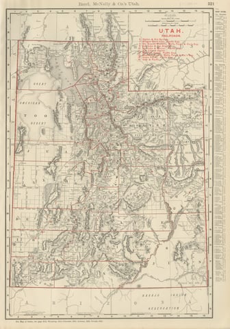
Antique Map of Utah, The Beehive State, Rand McNally, 1899
1899 · Rand McNally
$385
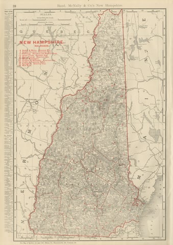
Antique Map of New Hampshire, The Granite State, Rand McNally, 1899
1899 · Rand McNally
$385
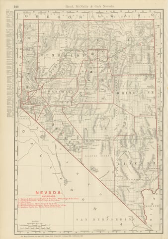
Antique Map of Nevada, The Silver State, Rand McNally, 1899
1899 · Rand McNally
$385
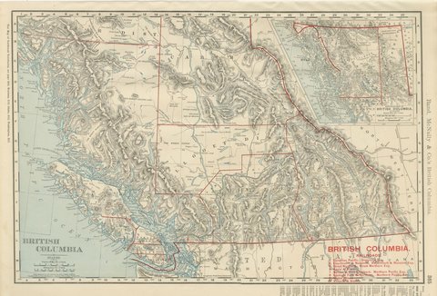
Antique Map of British Columbia, with Queen Charlotte Islands, 1899
1899 · Rand McNally
$385
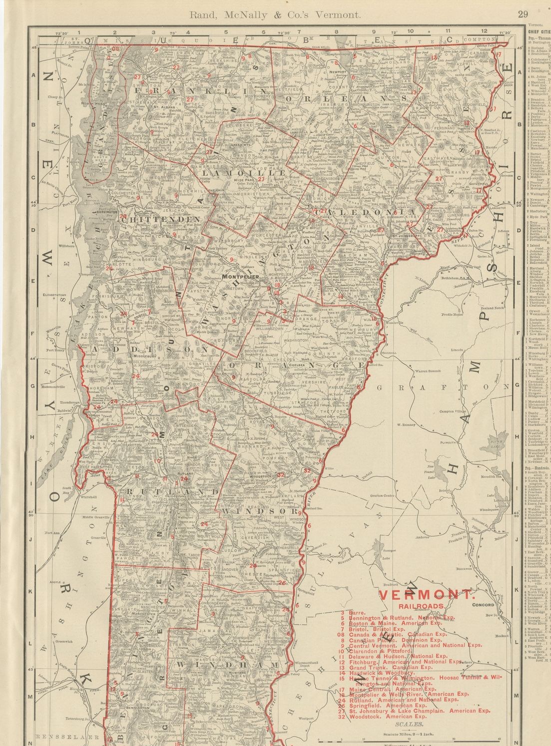
Antique Map of Vermont, The Green Mountain State, Rand McNally, 1899
1899 · Rand McNally
$385
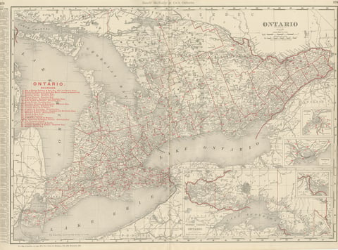
Antique Map of Ontario, with Toronto and Ottawa Insets, Rand McNally, 1899
1899 · Rand McNally
$385
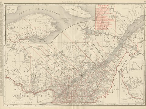
Antique Map of Quebec, with Gaspé Inset, Rand McNally, 1899
1899 · Rand McNally
$385
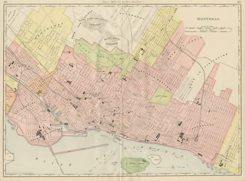
Antique Map of Montreal, with Mount Royal Park, Rand McNally, 1899
1899 · Rand McNally
$385
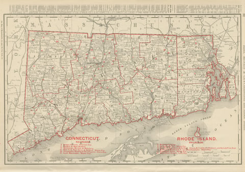
Antique Map of Connecticut and Rhode Island, with Narragansett Bay, 1899
1899 · Rand McNally
$385

Antique Map of Central America, with Proposed Nicaragua Canal, 1899
1899 · Rand McNally
$385
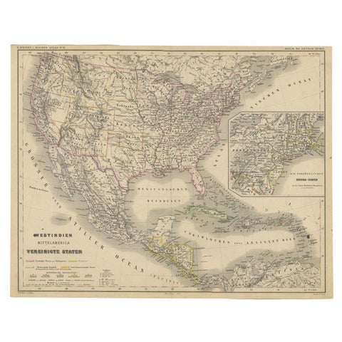
Old German Map of the United States, Central America and the West Indies, c.1870
1870
$380
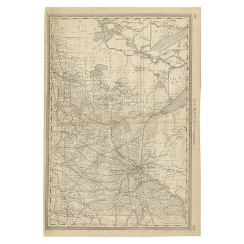
Antique Minnesota Map Wall Art by Rand McNally, Color Lithograph, 1888
1888 · Rand McNally
$380
★
Other periods